


Bilder av brukerne våre
-

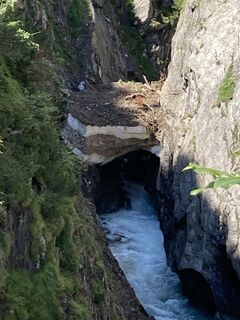
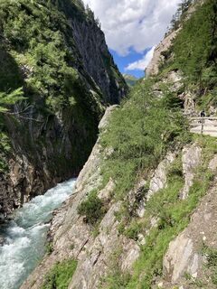
 © Arnold KosterOpprettet den 06.08.2021
 -
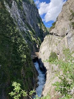
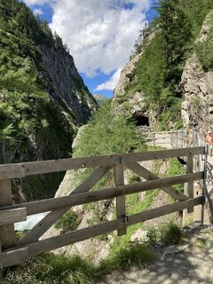
 © Arnold KosterOpprettet den 06.08.2021
 -
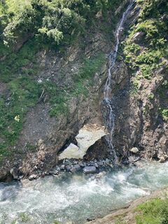
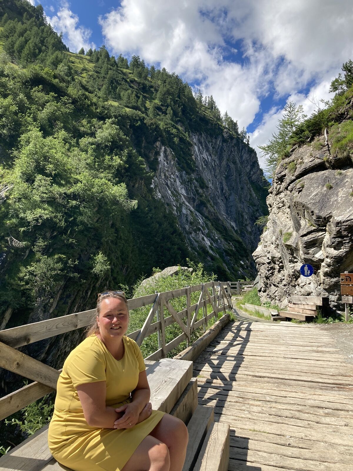
 © Arnold KosterOpprettet den 06.08.2021
 -
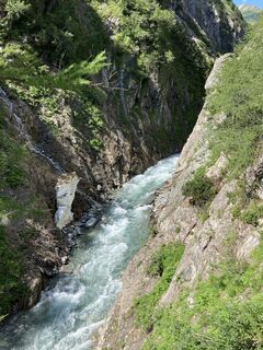
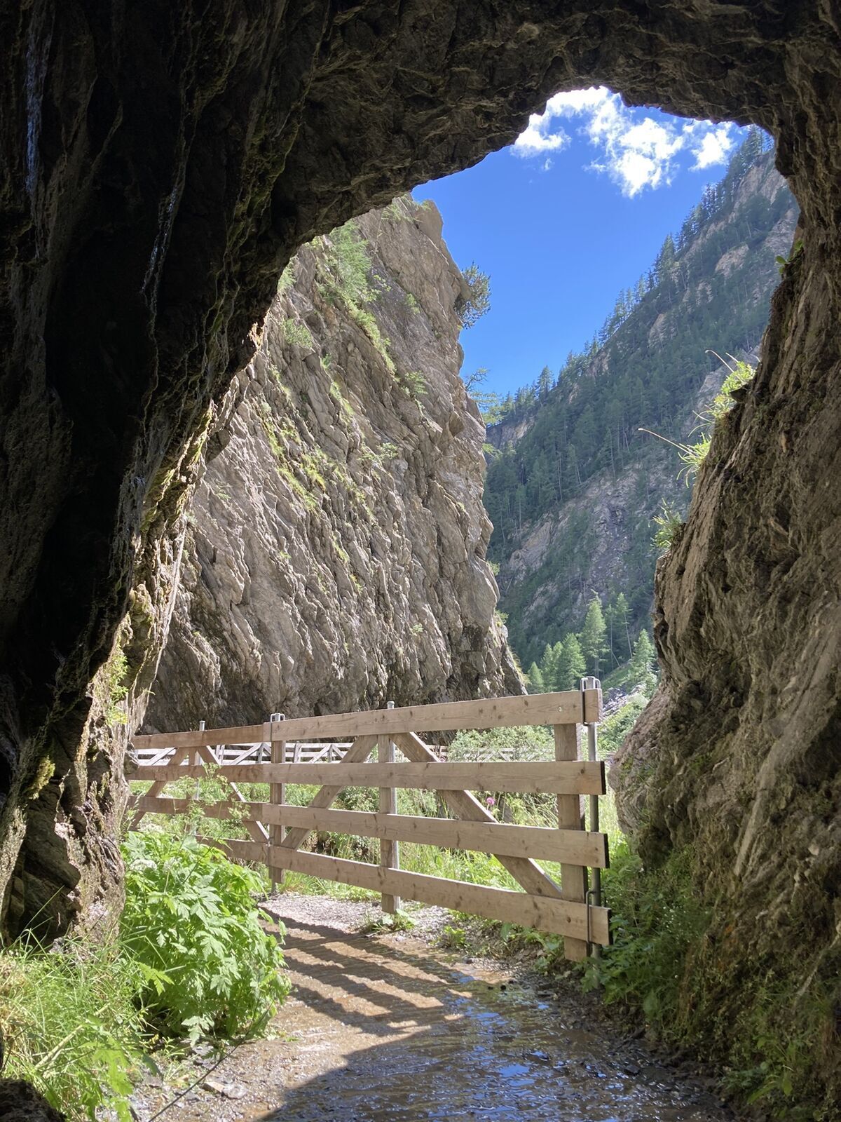
 © Arnold KosterOpprettet den 06.08.2021
 -
 © Arnold KosterOpprettet den 06.08.2021
 -
 © Arnold KosterOpprettet den 06.08.2021
 -
 © Arnold KosterOpprettet den 06.08.2021
 -
 © Arnold KosterOpprettet den 06.08.2021


From Kals-Glocknerhaus in a northerly direction to Burg-Taurer. The road climbs steadily for around 2.5 km until the crossing point of the Dorfertal and Moaalm. Here turn to the right and drive further...
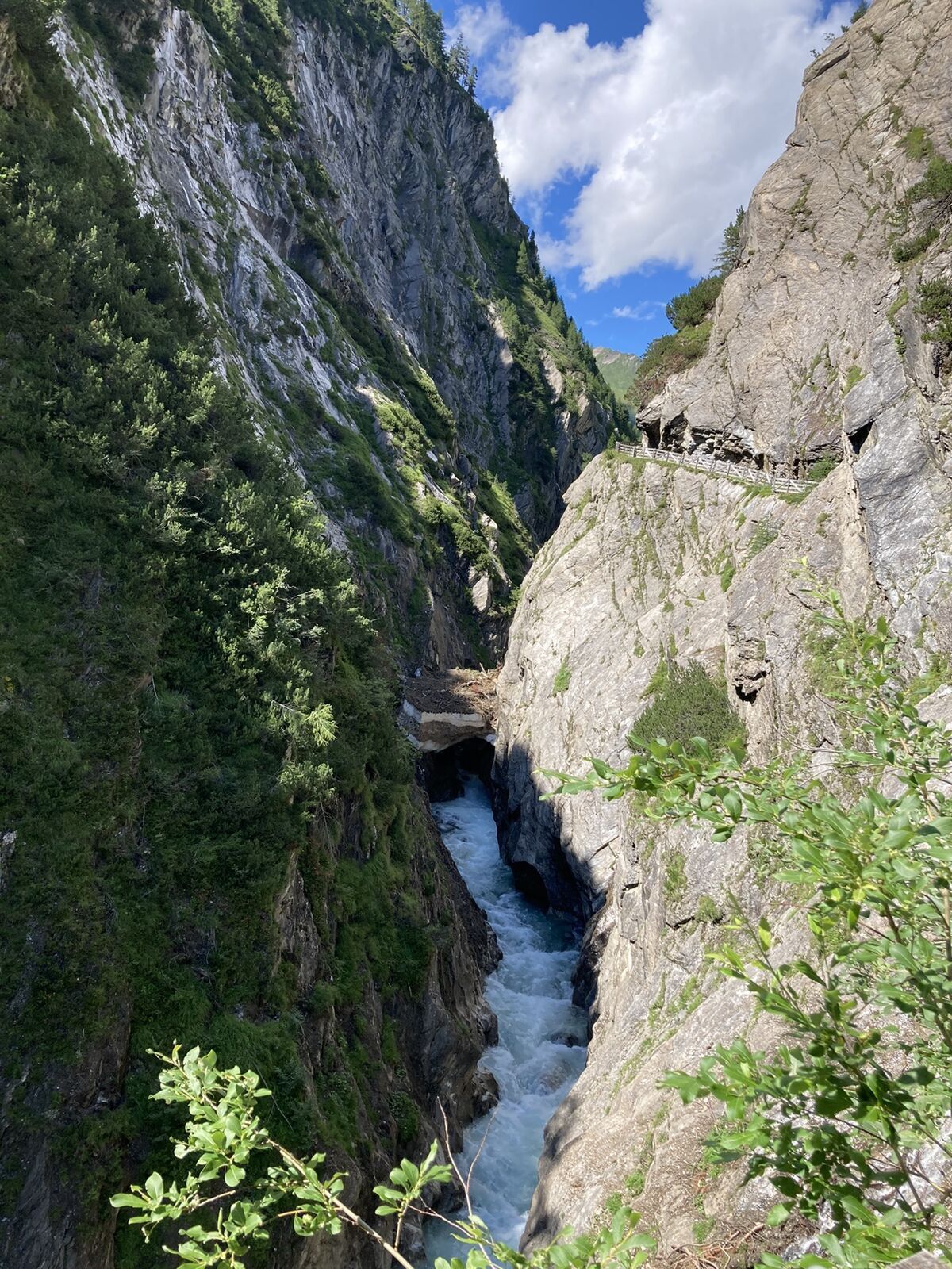
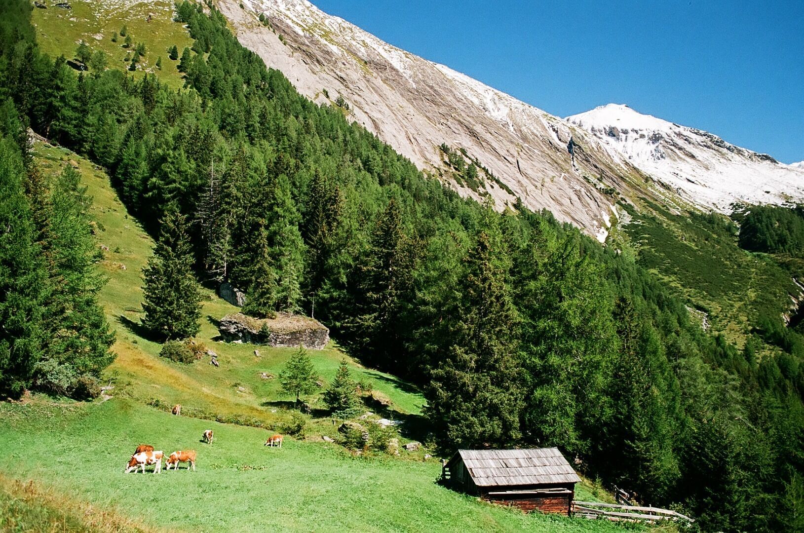
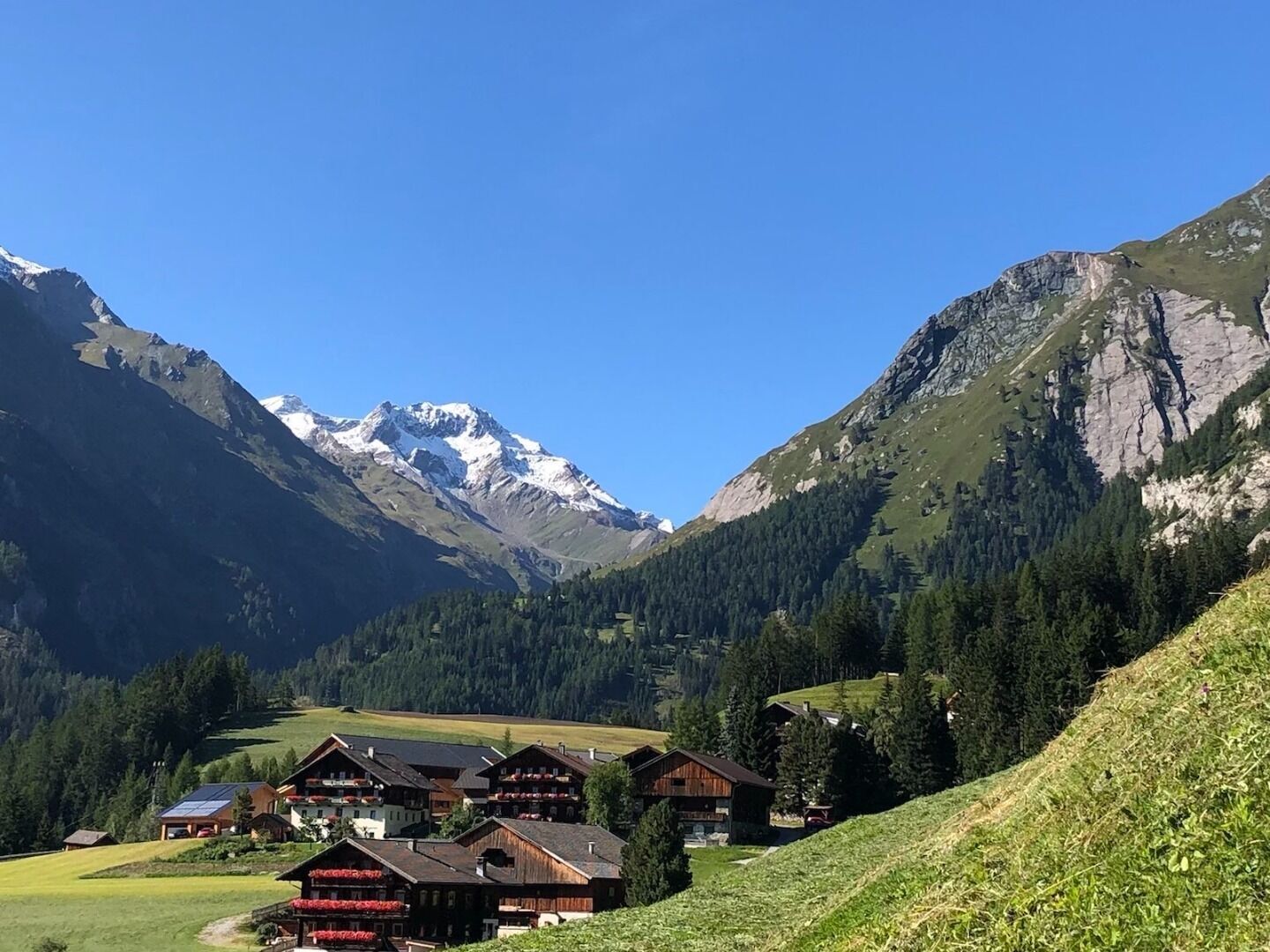
From Kals-Glocknerhaus in a northerly direction to Burg-Taurer. The road climbs steadily for around 2.5 km until the crossing point of the Dorfertal and Moaalm. Here turn to the right and drive further up the tarmac road for another 2.5 km to Moaalm and further to the parking place. Here is the finish and you may rest on a sunny place at a smal woodden bench an enjoy the nice panoramic view. Should you like to hike further up and if you are not afraid of hights you will reach the Gernot-Liebl panoramic spot area, which offers a great view into the wild and romantic Dorfertal.
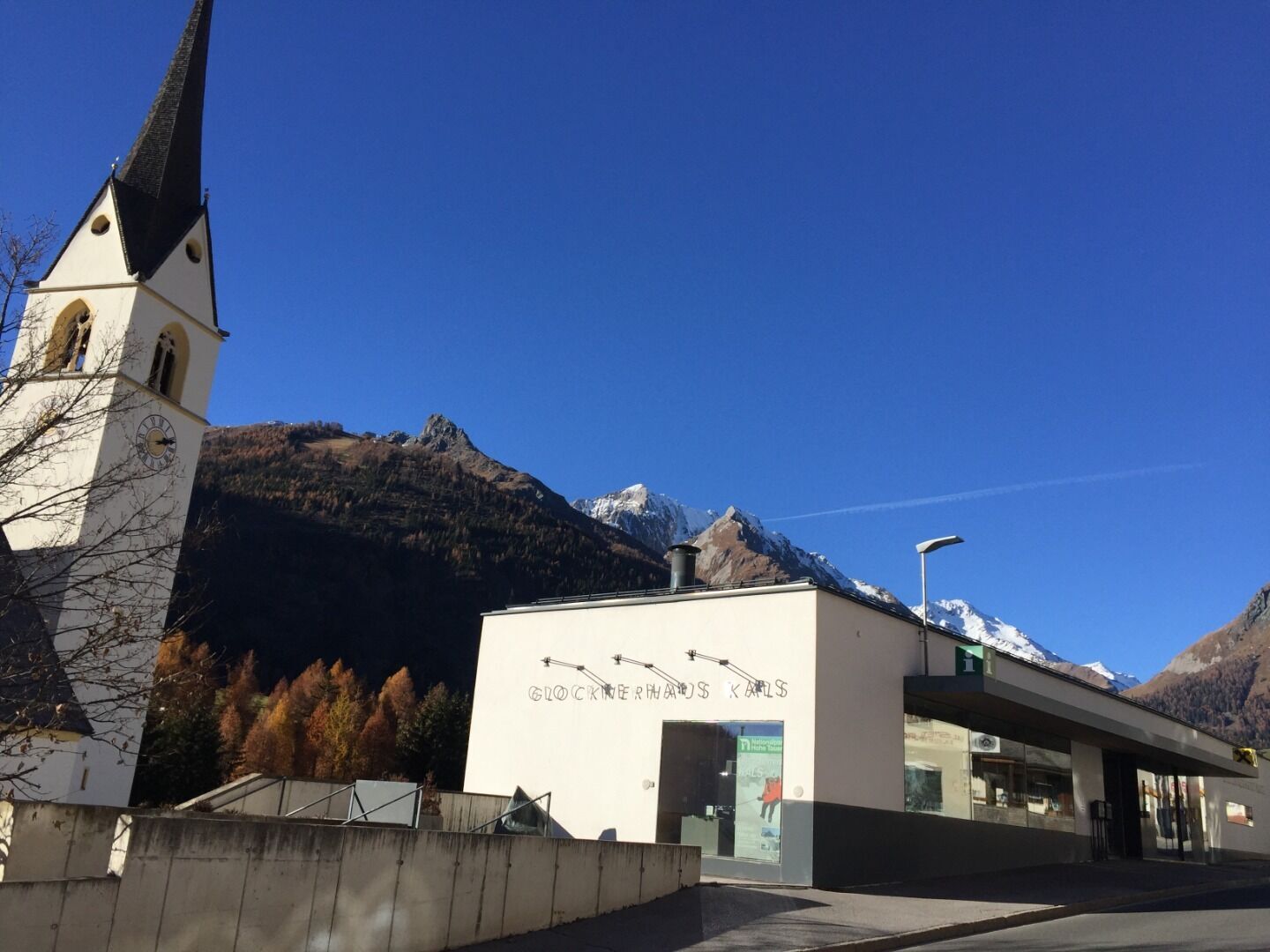
Kals a.G. Gemeindeamt
Parkplatz Kals Zentrum
Populære turer i nabolaget
-
3,9
Glacier Route to the Pasterze with Gamsgrubenweg (up to Tunnel 6)
middelsVandring 8,05 km -
4,5
Circular hike Proßeggklamm
middelsVandring 8,41 km -
4,7
Glödis 3206m: PP Seichenbrunn, Lienzer Hütte, Glödis KS A/B
tungHøy tur 16,1 km -
4,1
Gradental zur Adolf Nossberger Hütte - Rundweg
middelsVandring 11,1 km -
5,0
Figerhorn, 2743m, Lucknerhaus
middelsVandring 6,69 km -
5,0
Kaiser-Franz-Josefs-Höhe zur Oberwalderhütte
tungVandring 5,52 km -
4,9
Glockner
middelsHøy tur 19 km -
4,0
Böses Weibele, 3119m, Lucknerhaus
tungVandring 13,8 km -
4,8
Glockner Alpincenter - Salmhütte - Hohenwartkees
middelsVandring 8,64 km -
4,5
1 Großglockner Normalweg von der Stüdlhütte (Tirol & Kärnten)
tungHøy tur 8,17 km
Vandring og sporing


Ikke gå glipp av tilbud og inspirasjon til din neste ferie
E-postadressen din har blitt lagt til på adresselisten.