The municipality of Staufen lies at the foot of the Staufberg at an elevation of around 420 meters above sea level. The area between the Seetal and the Aare River is characterized by the 516-meter-high Staufberg. This molasse hill, although only about 550 meters long and 450 meters wide, rises roughly one hundred meters above the otherwise completely flat gravel plain. The total area of Staufen is...
The municipality of Staufen lies at the foot of the Staufberg at an elevation of around 420 meters above sea level. The area between the Seetal and the Aare River is characterized by the 516-meter-high Staufberg. This molasse hill, although only about 550 meters long and 450 meters wide, rises roughly one hundred meters above the otherwise completely flat gravel plain. The total area of Staufen is 3.58 square kilometers, of which just under 1.1 square kilometers are forested. Staufen is located in the canton of Aargau and belongs to the district of Lenzburg.
Its neighboring municipalities are Lenzburg, Schafisheim, Seon, and Rupperswil.
Kontakt oss


Skianlegg i nærheten
-

Röhrenmoos
Zürich & Zürich Region
-
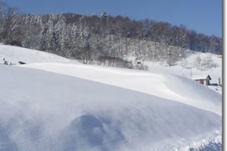
Langenbruck
Basel Region
-
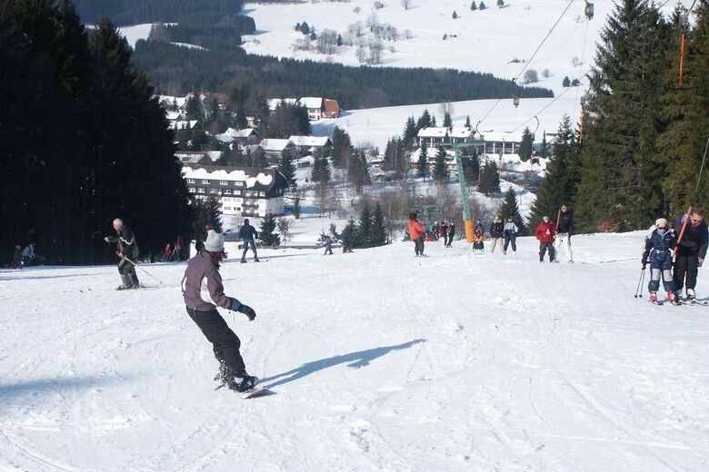
Herrischried
Baden-Württemberg
-
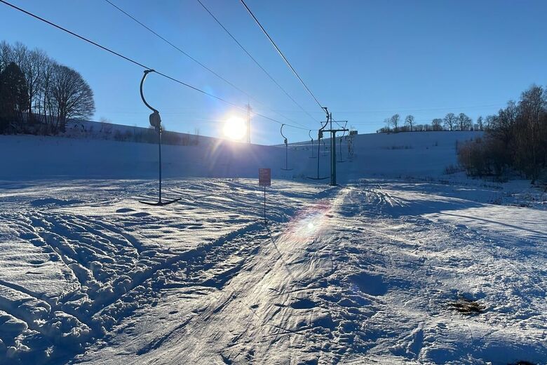
Brenden
Baden-Württemberg
-
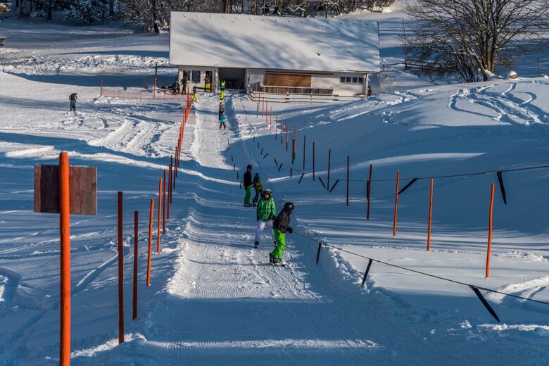
Höchenschwand
Baden-Württemberg
-

Oberlehen
Baden-Württemberg
-

Egg / Hallau
Ostschweiz
-

Nollen
Luzern - Vierwaldstättersee
-
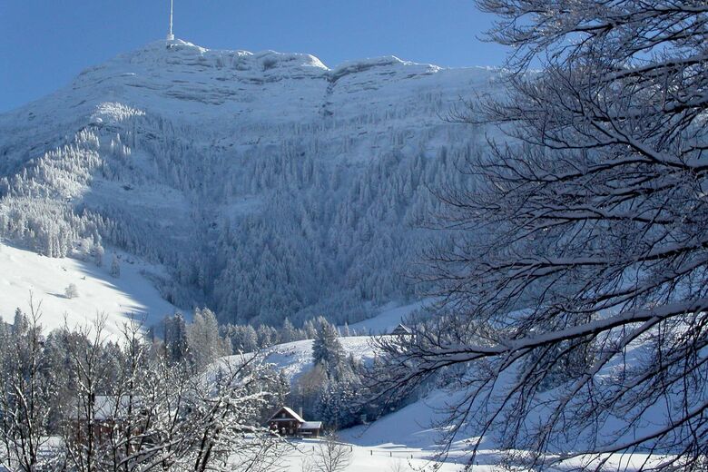
Seebodenalp
Luzern - Vierwaldstättersee
-
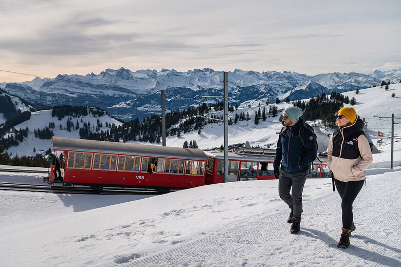
Rigi
Luzern - Vierwaldstättersee





Vandring og sporing




Ikke gå glipp av tilbud og inspirasjon til din neste ferie
E-postadressen din har blitt lagt til på adresselisten.





