


Endorf's local mountain "Scheed" always invites you to a small sunny hike. With a loop through Bönkhausen, we come to 6 kilometers.

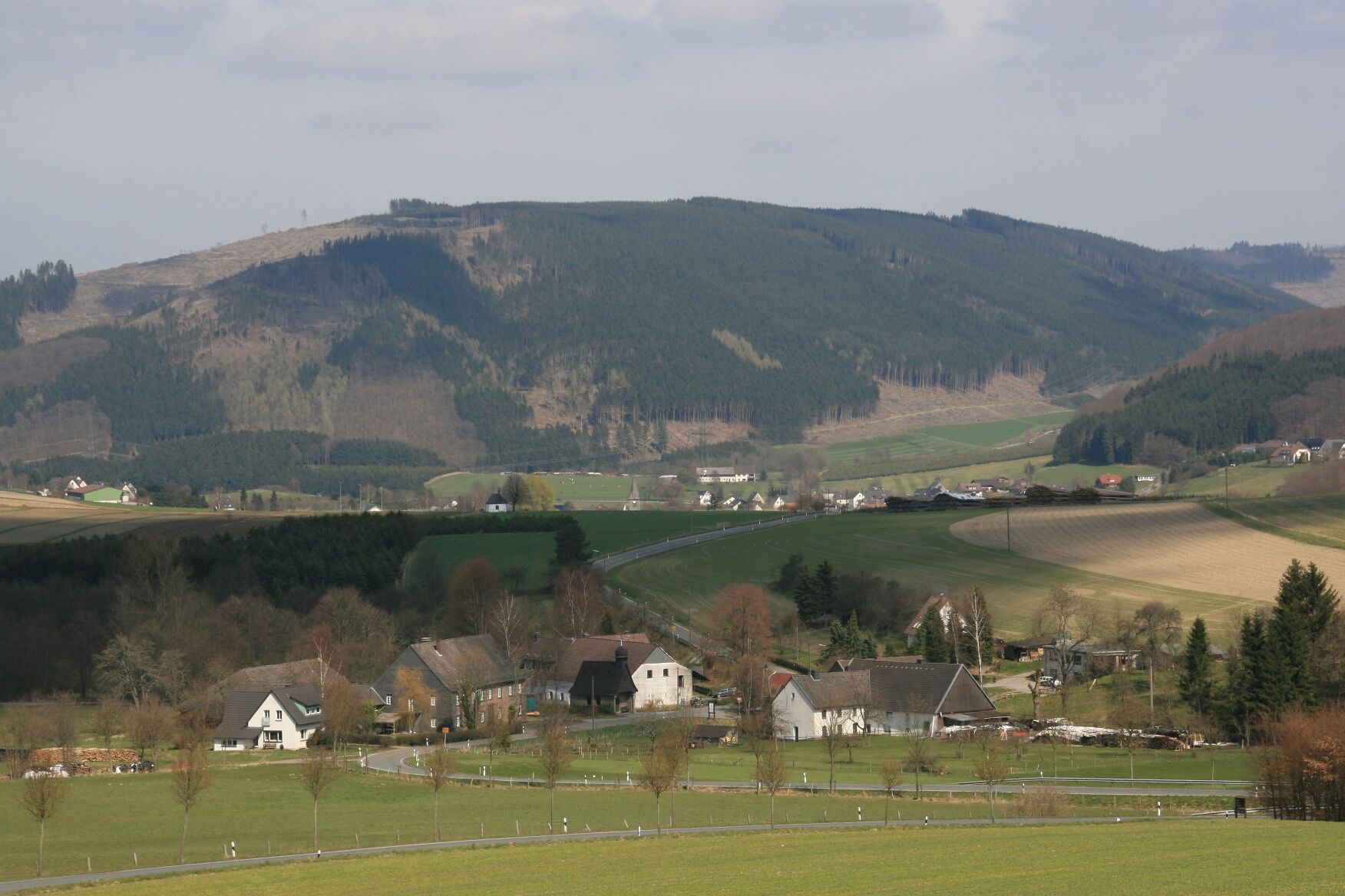
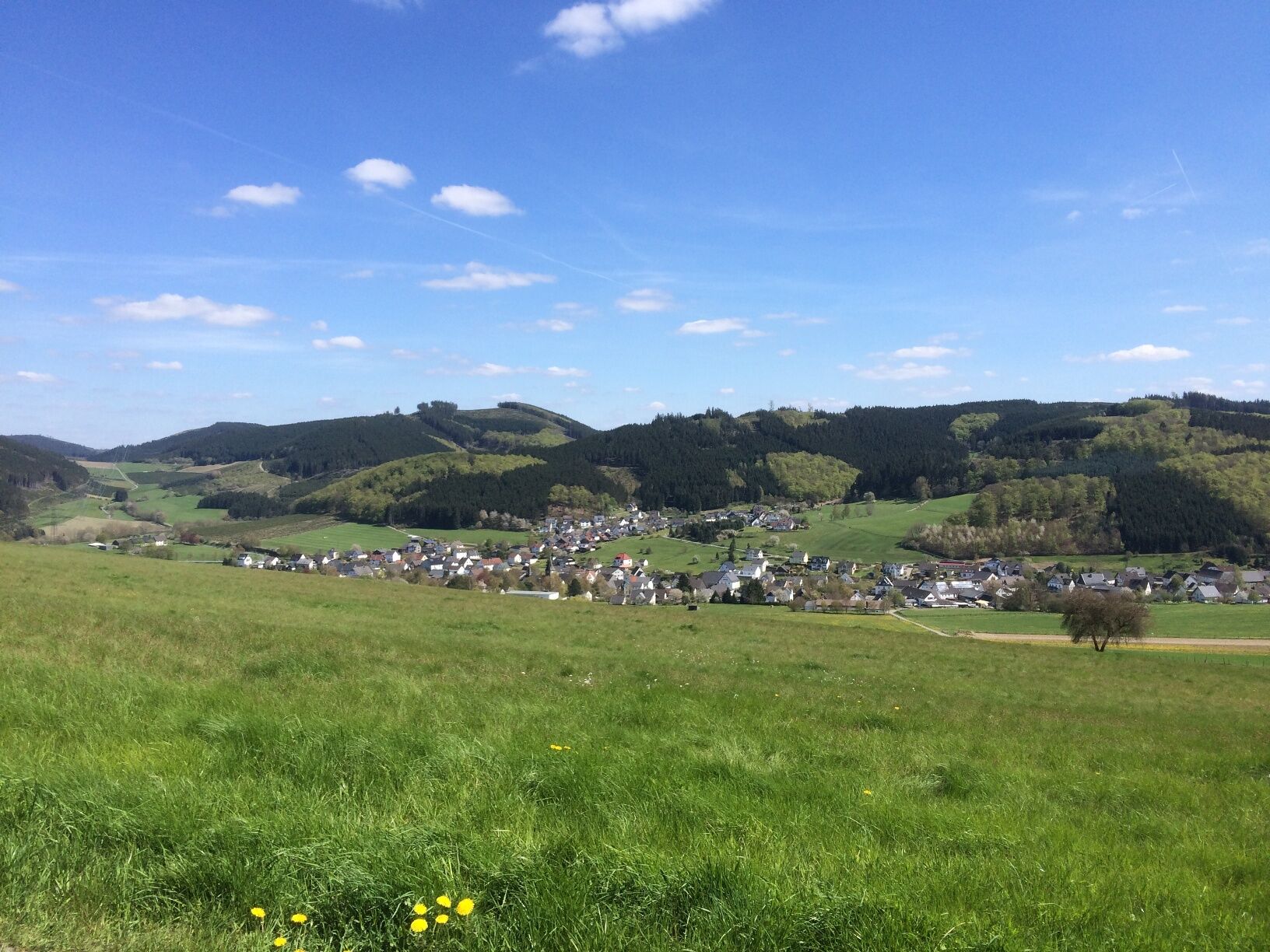
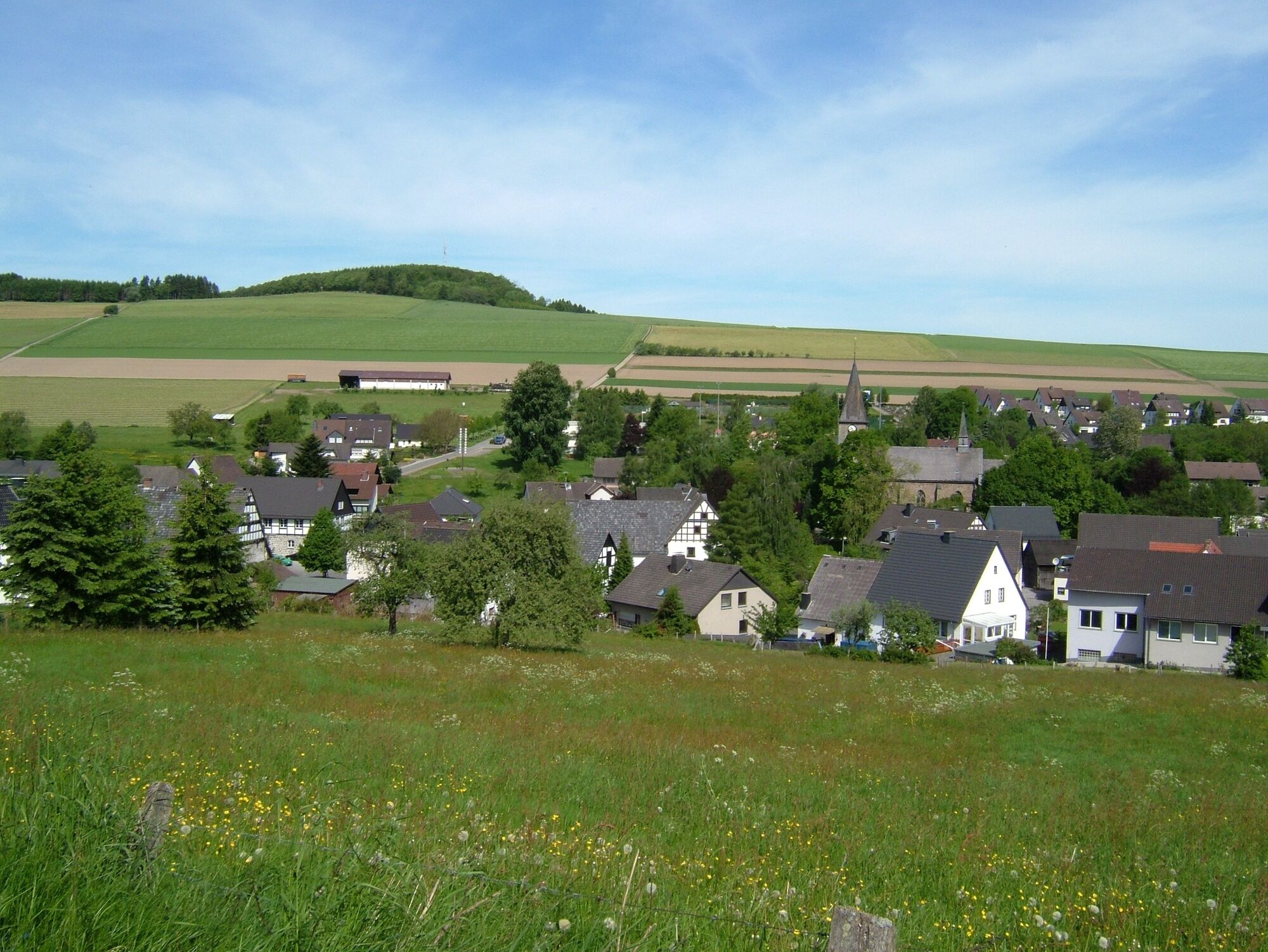
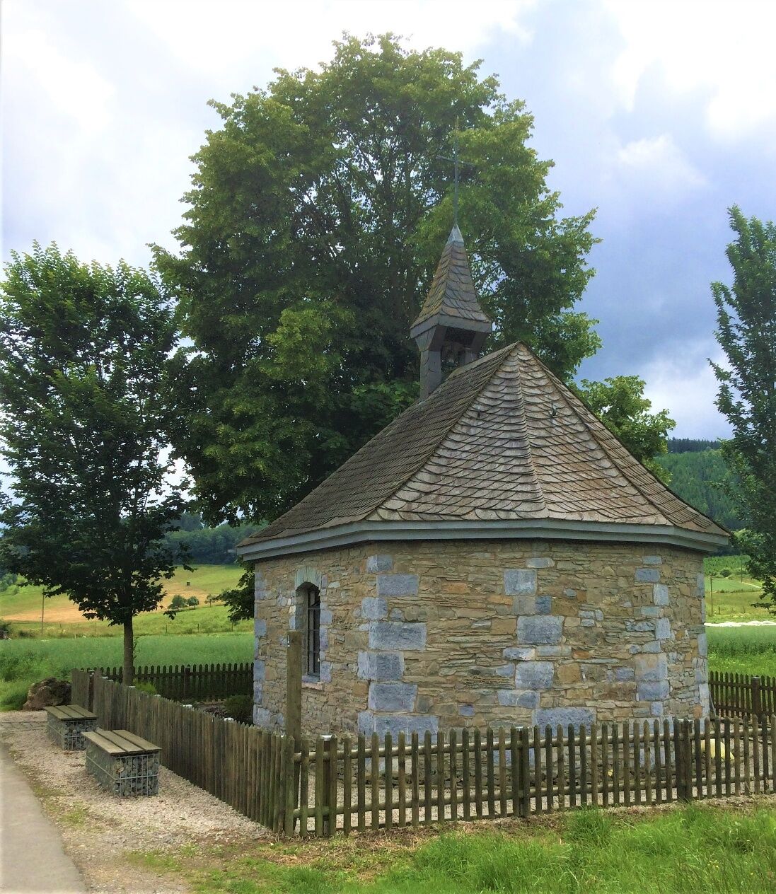
From the church, continue uphill along Huxenweg until the paved path turns left. With wide views, you now hike over the "Scheed" and almost at its end come across the hiking sign E in a circle, which you follow. Shortly before the Heiligenfeld chapel, it turns right into a meadow path that leads into the Bönkhausen stream valley (you will pass the chapel again later). In the valley, turn left and you reach the little chapel of Bönkhausen (information board). Here you cross the country road and continue following the E in a circle. Behind the Waldwinkel farm, turn left and along former mining traces reach the bench at Druberg. Here you leave the E in a circle and now follow the inverted T back to Endorf, but not without visiting the Heiligenfeld chapel again. The inverted T ends at the village pond with the large information board. From here, it is only a few steps back to the church, the starting point of your hike.
The grassy path down to Bönkhausen may be a bit slippery in wet weather.
1) From Dortmund / Münster via the A 44 Dortmund – Kassel to the Werl junction, then A 445 towards Arnsberg to the Hüsten / Sundern exit, via the B 229 to Hachen, there towards Sundern, then towards Eslohe and you reach Endorf.
2) From Kassel via the A 44 Kassel - Dortmund to the Werl junction, then continue as described in option 1.
3) From Cologne via the A 4 Cologne - Olpe to the Olpe junction, onto the A 45 Dortmund - Frankfurt towards Dortmund to the Olpe exit, via Attendorn, Finnentrop, Rönkhausen to Stockum, turn right here to Endorf.
4) From Frankfurt via the A 45 Frankfurt - Dortmund to the Olpe exit, then continue as described under option 3.
Hourly (7:34-18:34) with line 431 from Sundern town hall to Sebastianstraße stop
Return from 8:07 - 18:07 from Sebastianstraße
At the church in Endorf on Huxenweg
The local baker invites you to a small stopover.
Populære turer i nabolaget
-
3,5
The Fickeltünnes Trail - Hiking on the history hiking trail around Allendorf
middelsTemaløype 14,3 km -
Circular hiking trail in Langscheid "Schlösser route"
middelsVandring 14,2 km -
Rundwanderweg Linnepe
middelsVandring 8,36 km -
Plettenberg: History Route XL
middelsSykling 40,3 km -
Sauerland-Höhenflug: From Wildewiese to Wenholthausen
middelsVandring 18,4 km -
Plettenberg: History Route XS
lysSykling 9,07 km -
Sauerländer Siebengebirge (SR3)
middelsSykling 32,2 km -
Bierbrau-Wunderweg Grevenstein - Der BIERlebnisweg
middelsVandring 7,36 km -
Loop um Wildewiese
lysVandring 13,0 km -
Der Stockumer Skulpturenweg
middelsVandring 3,54 km
Vandring og sporing


Ikke gå glipp av tilbud og inspirasjon til din neste ferie
E-postadressen din har blitt lagt til på adresselisten.