


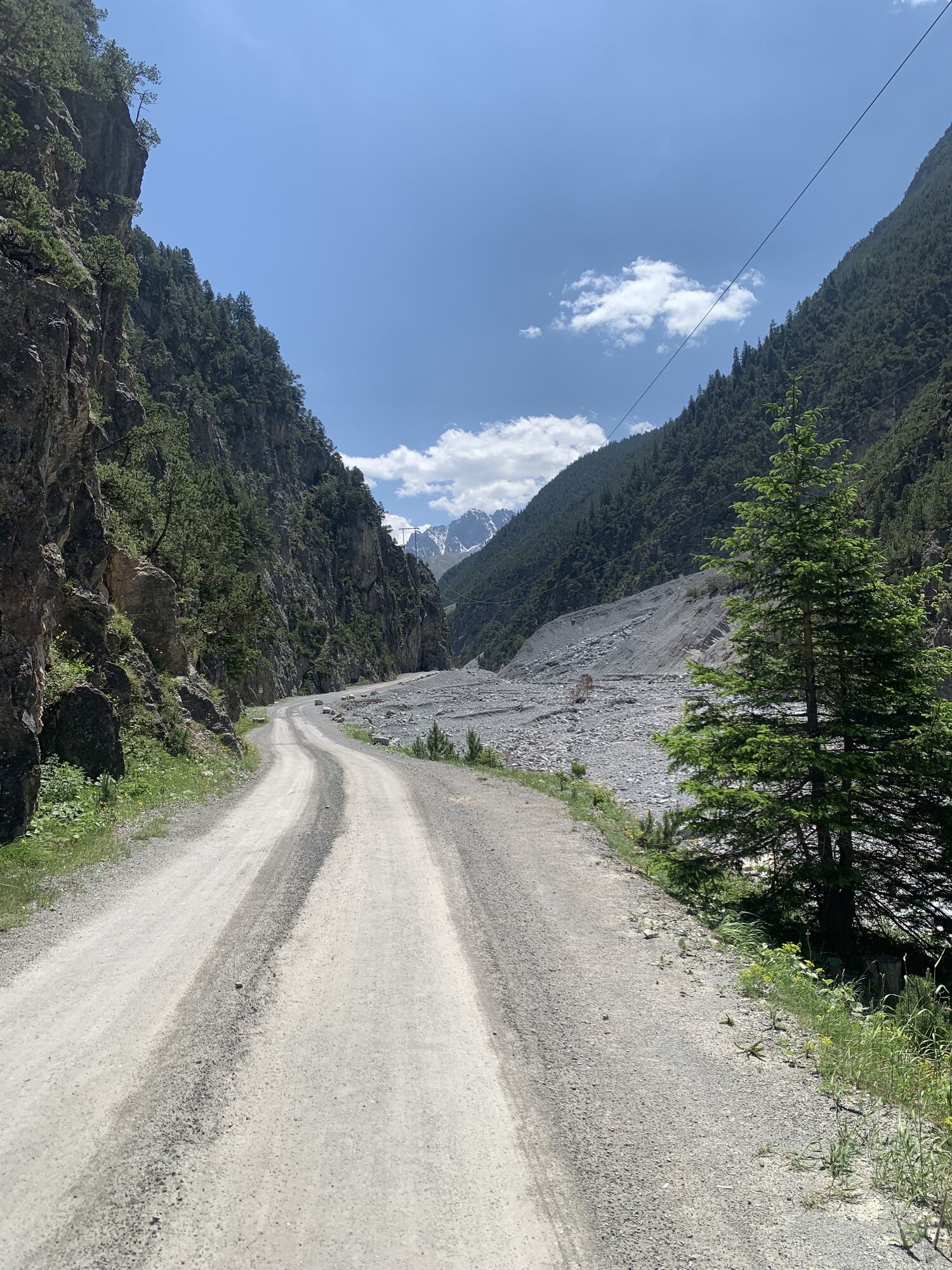
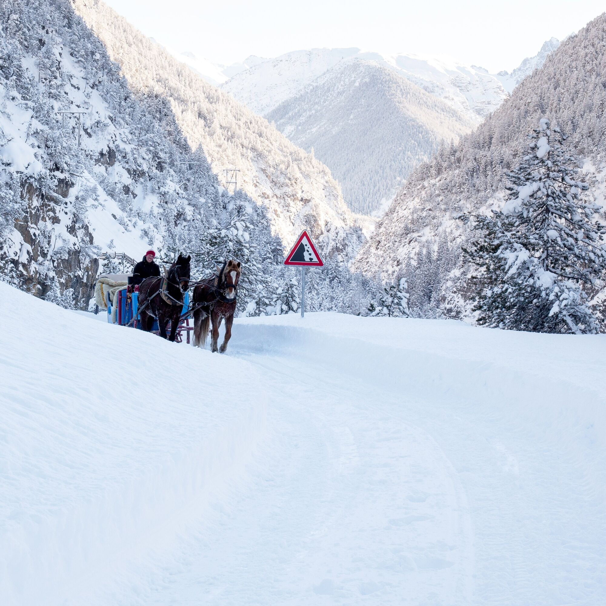
The road from San Jon to S-charl is closed in winter and thus a dream for horse-drawn sleigh rides and winter hikers. You reach San Jon by your own car or taxi; from here you go through a forested area...
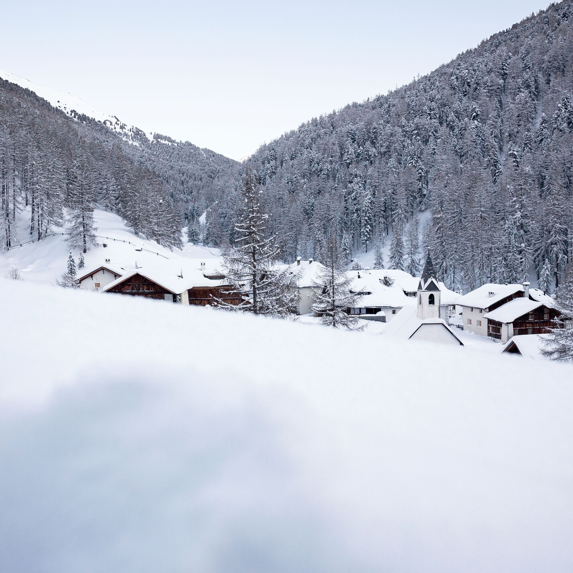
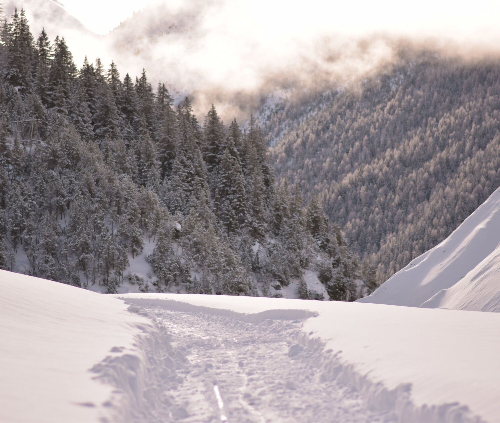
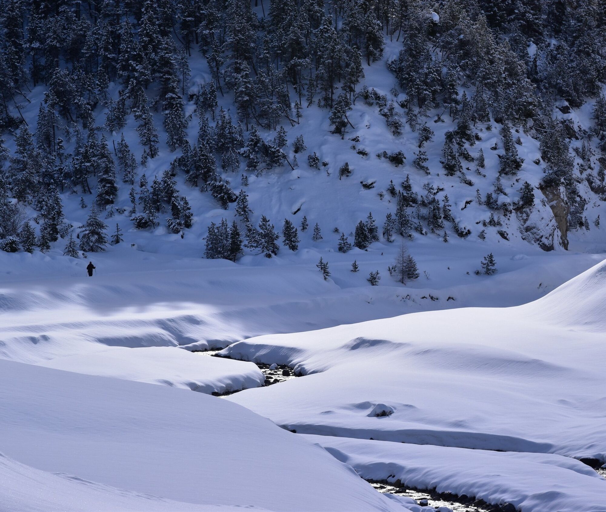
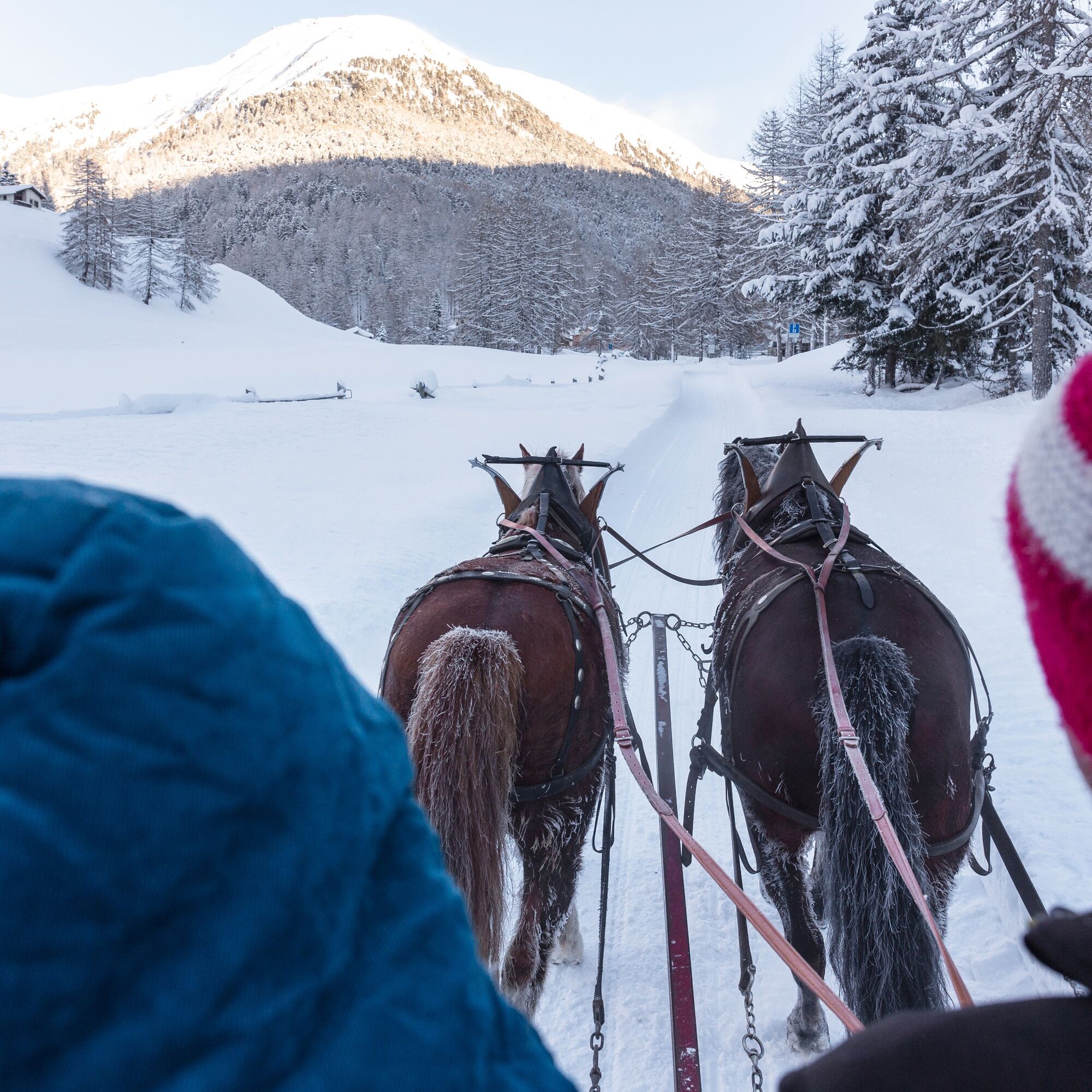
The road from San Jon to S-charl is closed in winter and thus a dream for horse-drawn sleigh rides and winter hikers. You reach San Jon by your own car or taxi; from here you go through a forested area up and into the side valley. Over about ten kilometers, you can enjoy magnificent forests, the view of the edge of the Swiss National Park, and a true valley feeling. Covered in snow, it feels like a fairy tale.
Note:
This route proposal is calculated only for the path up to S-charl. The return to Scuol can also be done on foot along the same route or enjoyed on a horse-drawn sleigh. The ride with the horse-drawn sleigh must be reserved in advance at Gasthaus Mayor.

San Jon, Scuol
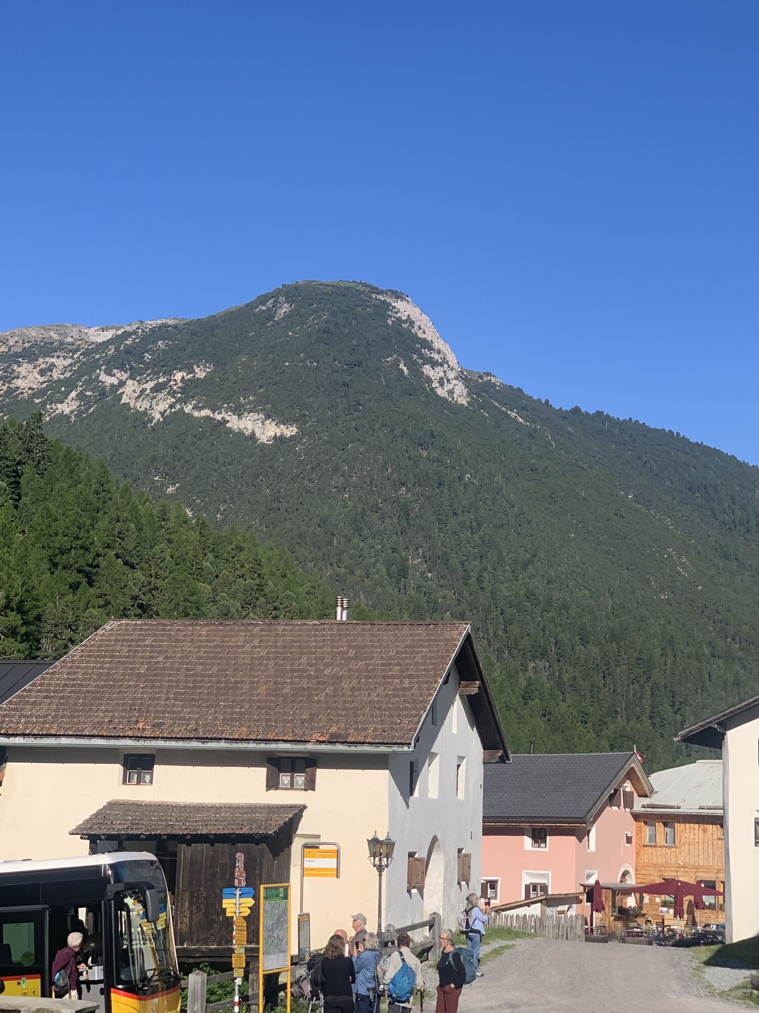
along the road through the Val S-charl
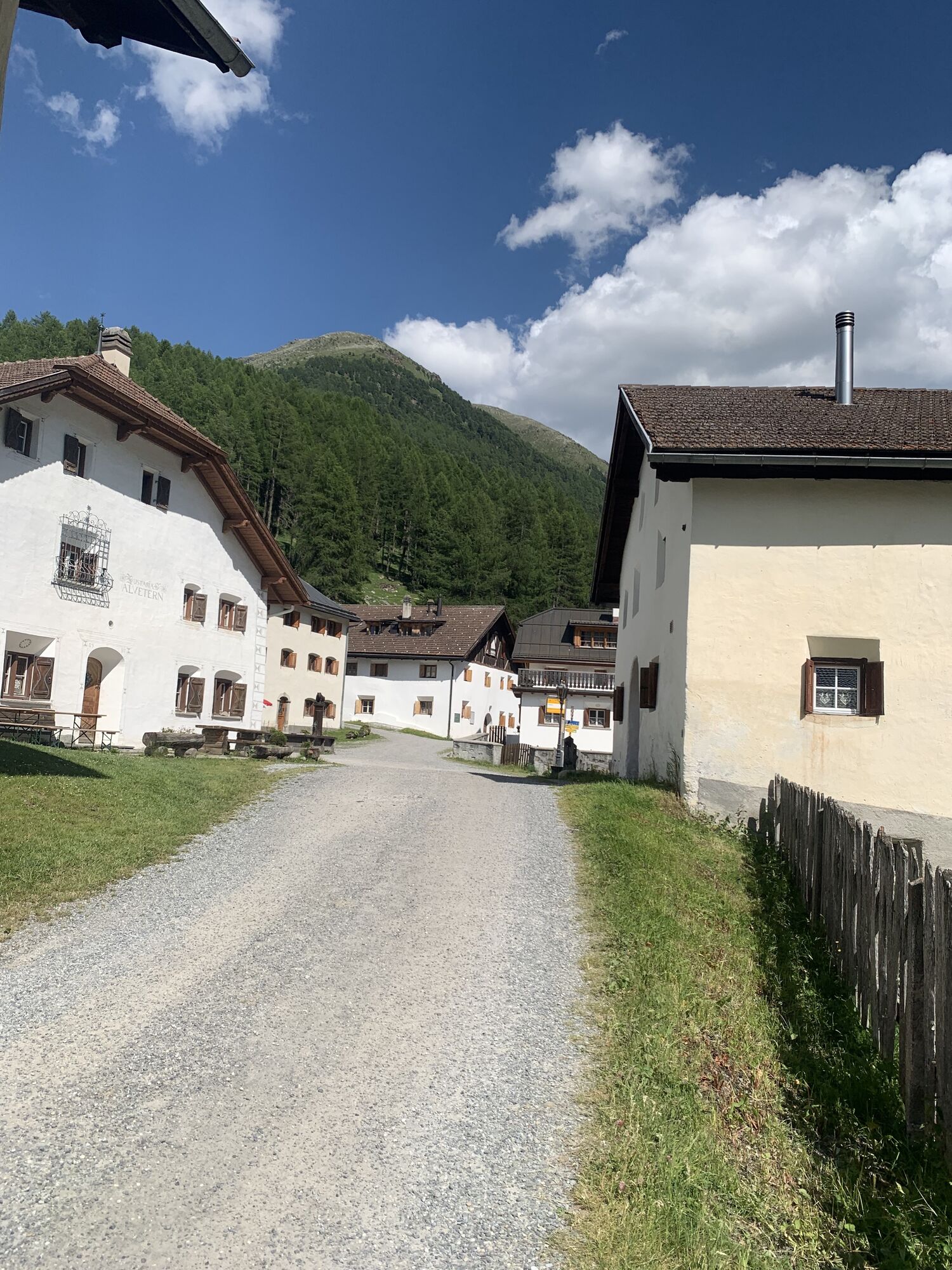
S-charl
Ja
High and sturdy hiking boots or winter boots, warm clothing, sunscreen, sunglasses, sun protection, hiking poles
The path is prepared after every snowfall. Please observe the condition reports in the winter sports report.
The route was rated under favorable weather conditions; current snow and weather conditions must be considered before starting.
Emergency numbers:
144 Emergency call, first aid
1414 Mountain rescue REGA
112 International emergency call
From the north: via Landquart – Klosters by car transport through the Vereina tunnel (Selfranga - Sagliains) or via the Flüela pass to Scuol
From the east: via Landeck / Austria towards Scuol
By the Rhaetian Railway from Chur, Landquart/Prättigau to Scuol-Tarasp.
From the train station, continue by shuttle to the departure point of the horse-drawn sleighs, with which you then reach S-charl or the Gasthaus Mayor.
The shuttle or horse-drawn sleigh must be reserved in advance.
In Scuol at the Gurlaina ice rink, free parking spaces are available.
From the parking lot, a shuttle departs to the departure point of the horse-drawn sleighs, with which you then reach S-charl or the Gasthaus Mayor.
The shuttle or horse-drawn sleigh must be reserved in advance.
The Gasthaus Mayor in S-charl offers warm meals and horse-drawn sleigh rides, which make the return journey a unique experience.
Populære turer i nabolaget
-
4,8
National park: Zernez – Munt Baselgia – Macun lakes – Alp Zeznina – Lavin
tungVandring 22,9 km -
4,5
Rundwanderweg Wattles und Sesvenna
lysVandring 16,4 km -
5,0
Margunet (nature trail in the Swiss National Park)
middelsVandring 7,76 km -
Suspension Bridge Trail Val Sinestra – Zuort – Griosch – Vnà
middelsVandring 11,0 km -
5,0
3 Länder Tour Uinaschlucht MTB
tungTerrengsykkel 74,6 km -
4,0
Süsom Givè - Chaschlot - Valbella - Süsom Givè
middelsVandring 9,73 km -
4,0
001.01 Alpine Bike Stage 1 Scuol - Tschierv
middelsTerrengsykkel 31,4 km -
4,5
Tarasp Fontana – Sparsels – Lai Nair (circular route)
lysVandring 7,67 km -
Guarda – Chamonna Tuoi – Furcletta – Alp Valmala – Ardez
middelsVandring 21,0 km -
4,8
National Park: Grimmels (circular hike)
lysVandring 5,97 km
Vandring og sporing


Ikke gå glipp av tilbud og inspirasjon til din neste ferie
E-postadressen din har blitt lagt til på adresselisten.