


This hike away from built-up paths over untouched mountains connects Arosa and Davos. In Arosa, you start the hike through the impressive Isel landscape and then ascend slowly but steadily through the...
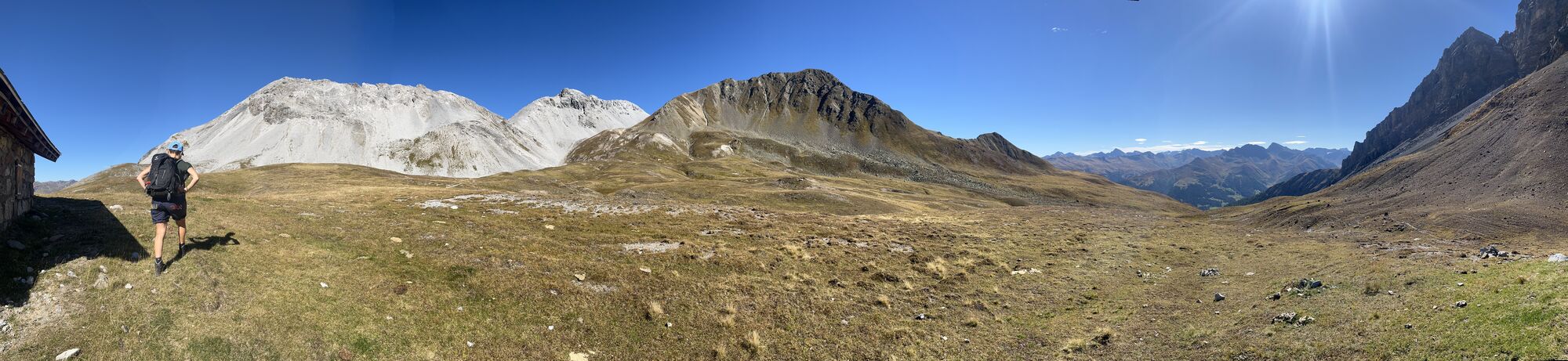
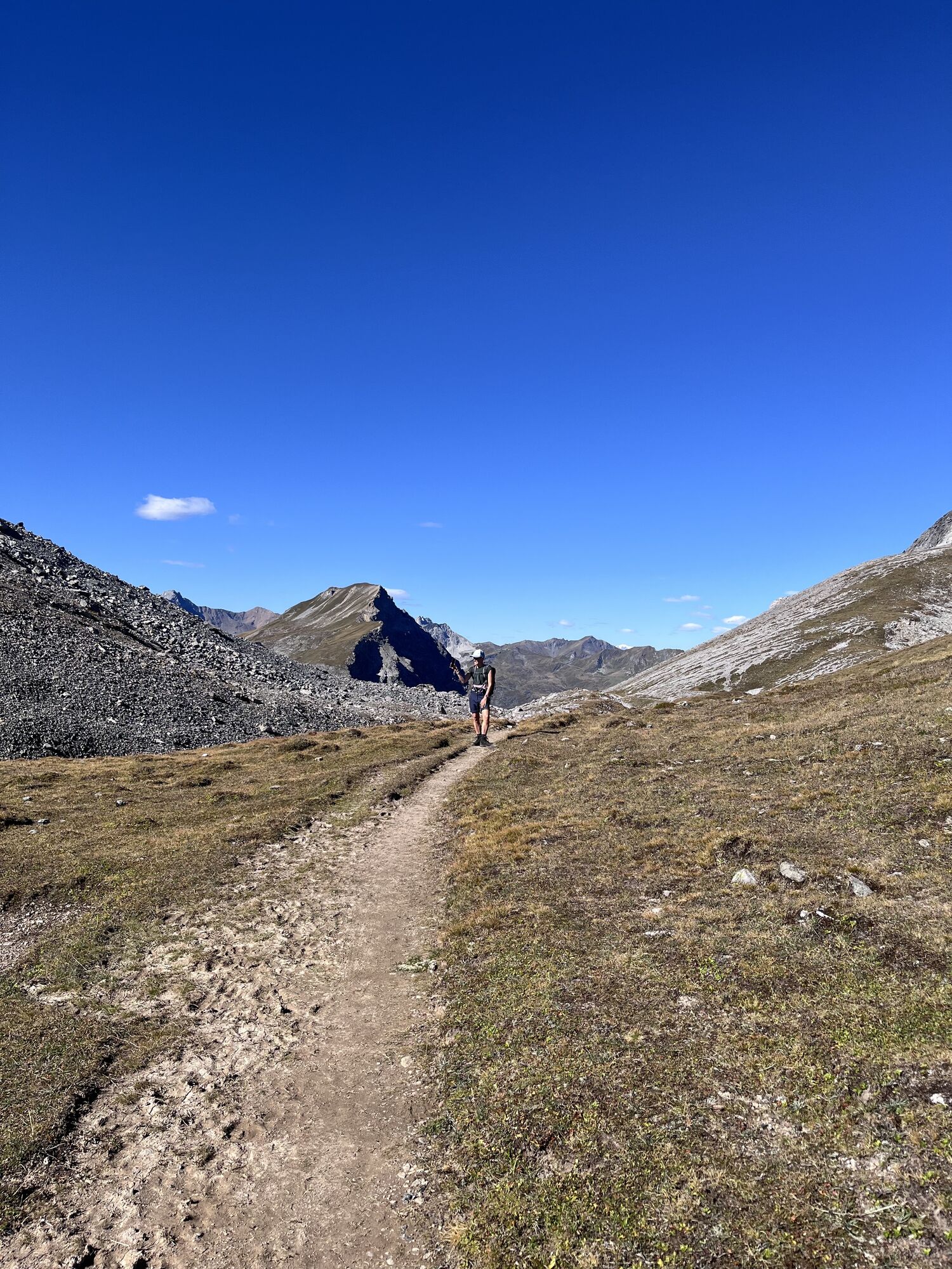
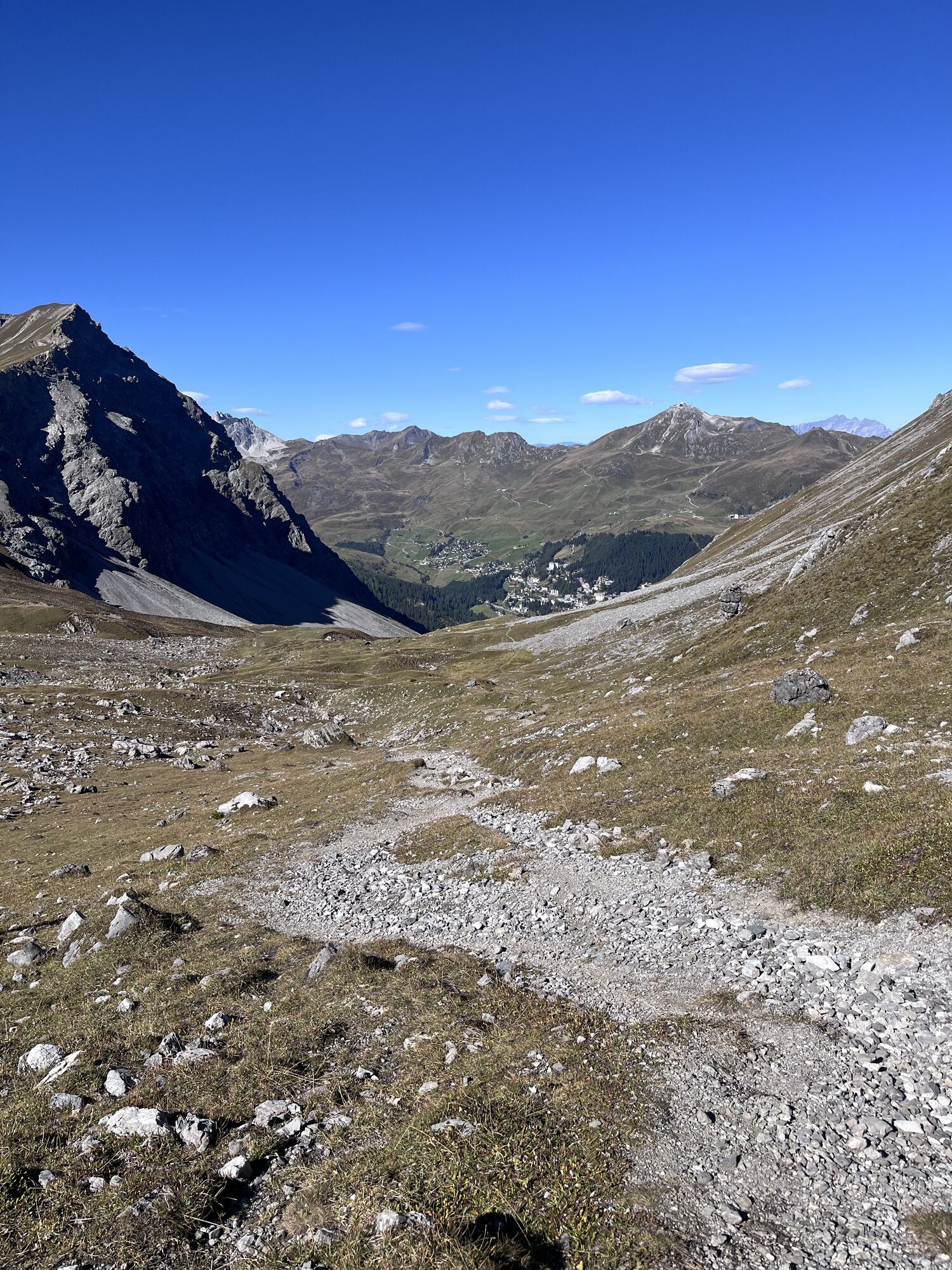
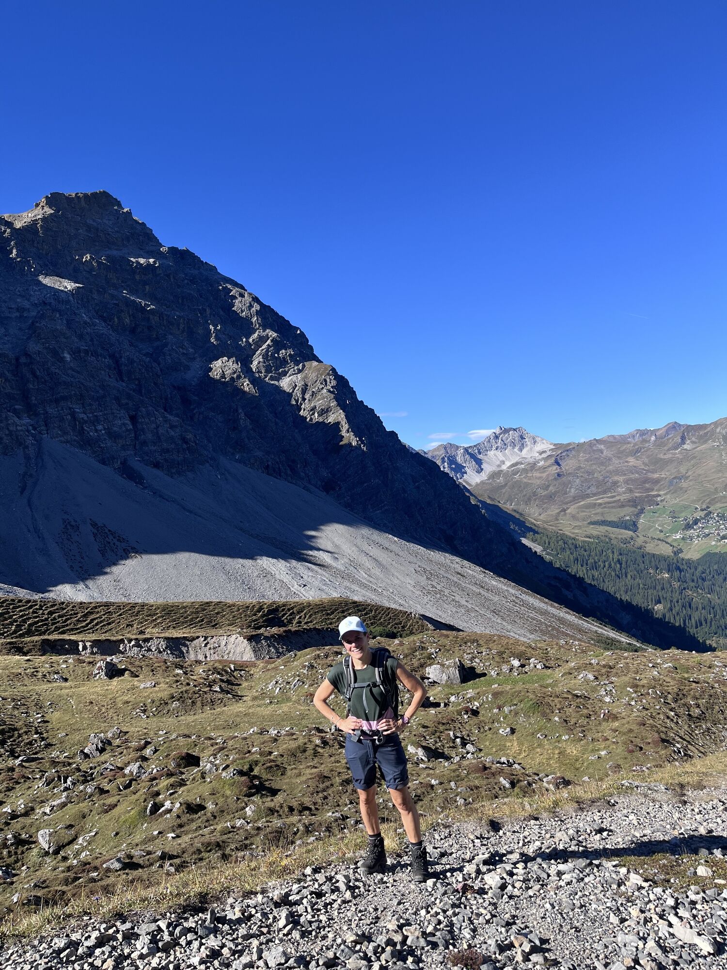
This hike away from built-up paths over untouched mountains connects Arosa and Davos. In Arosa, you start the hike through the impressive Isel landscape and then ascend slowly but steadily through the Furggawald, where the village of Arosa can be admired from a distance. Between the weathered limestone towers of the Amselfluh and the steep slopes of the Furggahorn, you might be lucky enough to spot chamois, deer, and ibex. The Maienfelder Furgga is one of the most popular mountain passes to the eastern Davos Landwasser valley and leads in a fairly direct line from Arosa to Davos Frauenkirch. At the same time, the route is a stage of the Walserweg. The picturesque Stafelalp, which you pass on the descent, was also a retreat of the German painter Ernst Ludwig Kirchner.

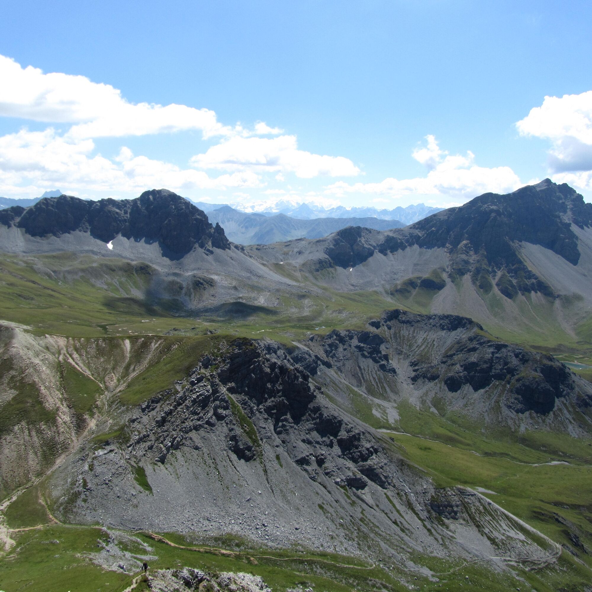
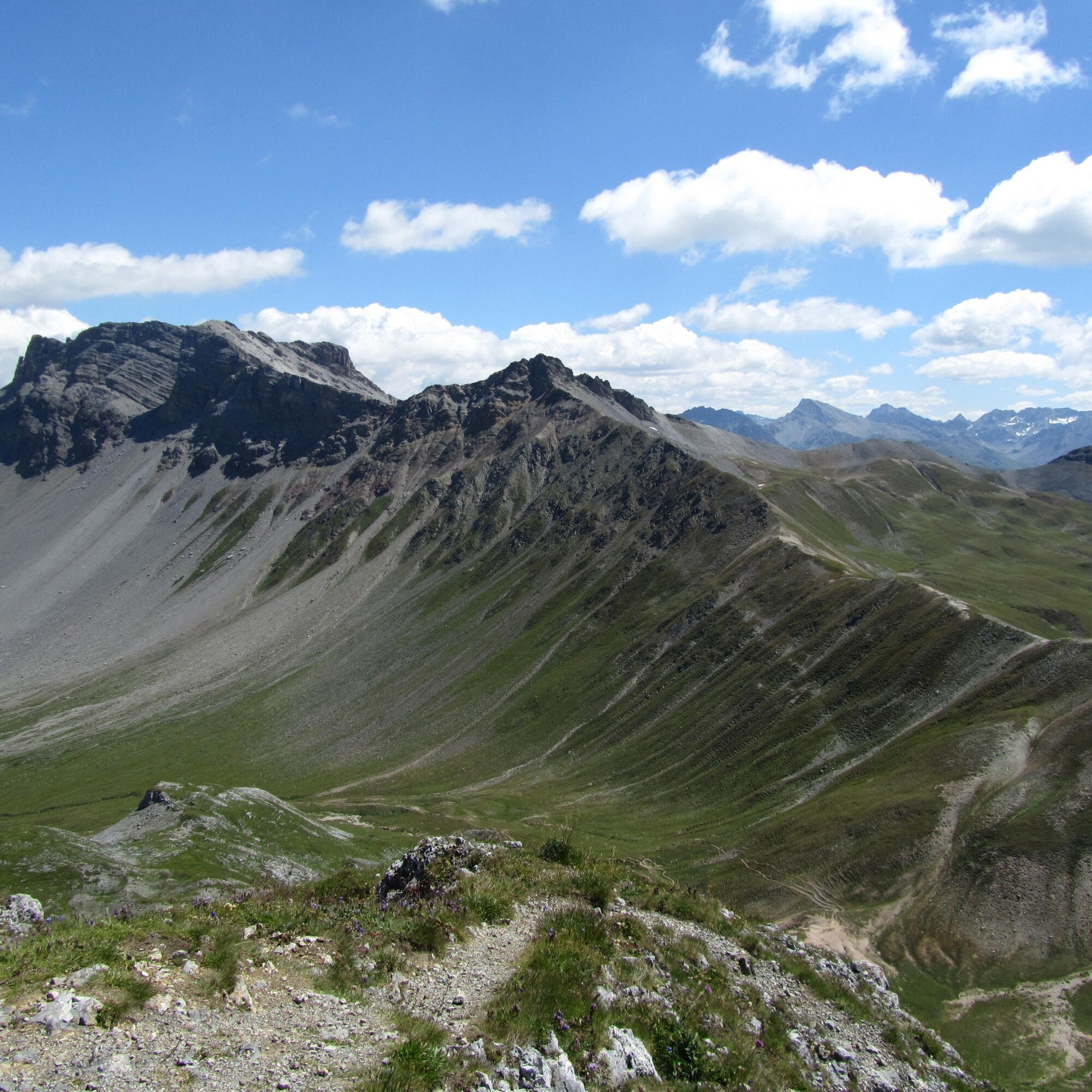
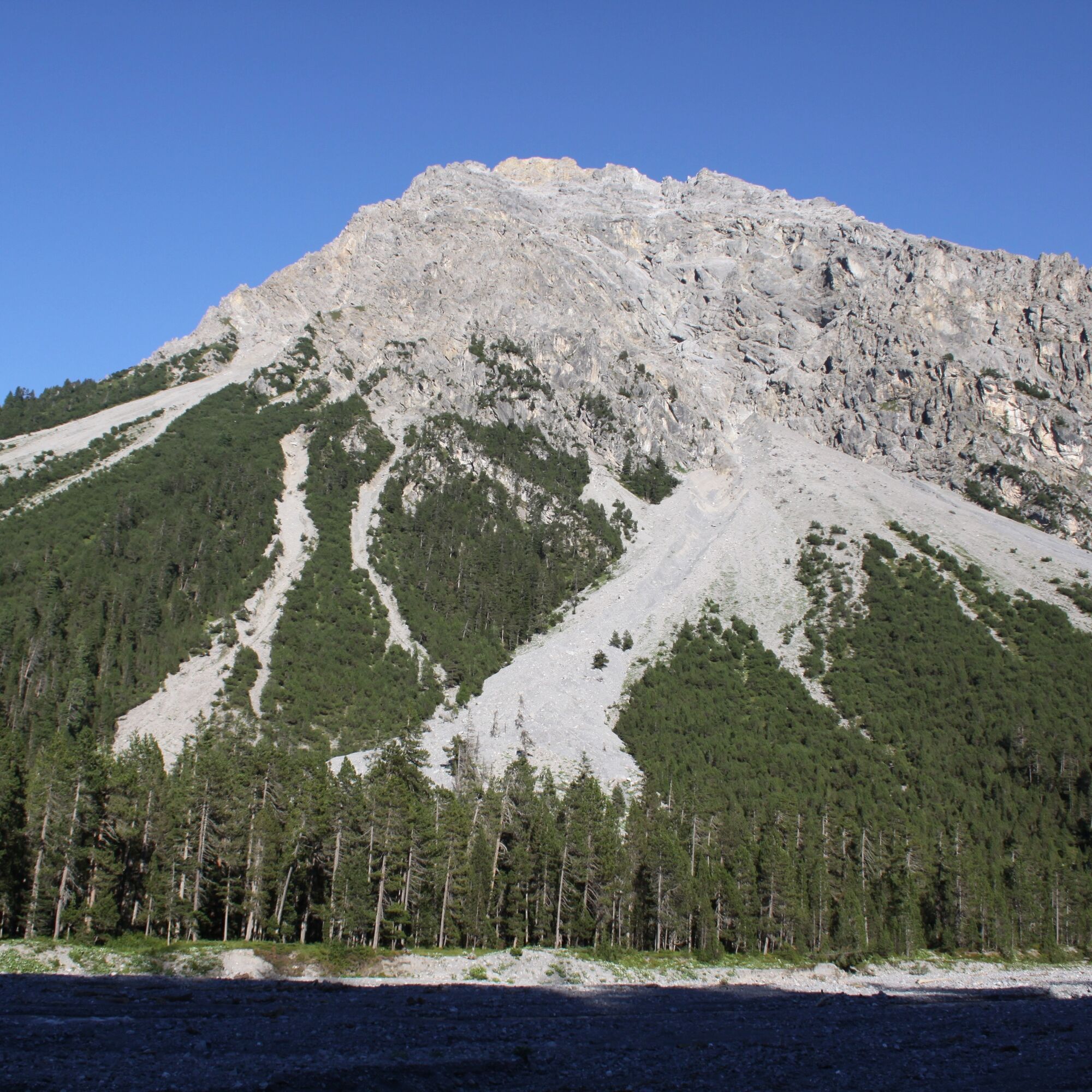
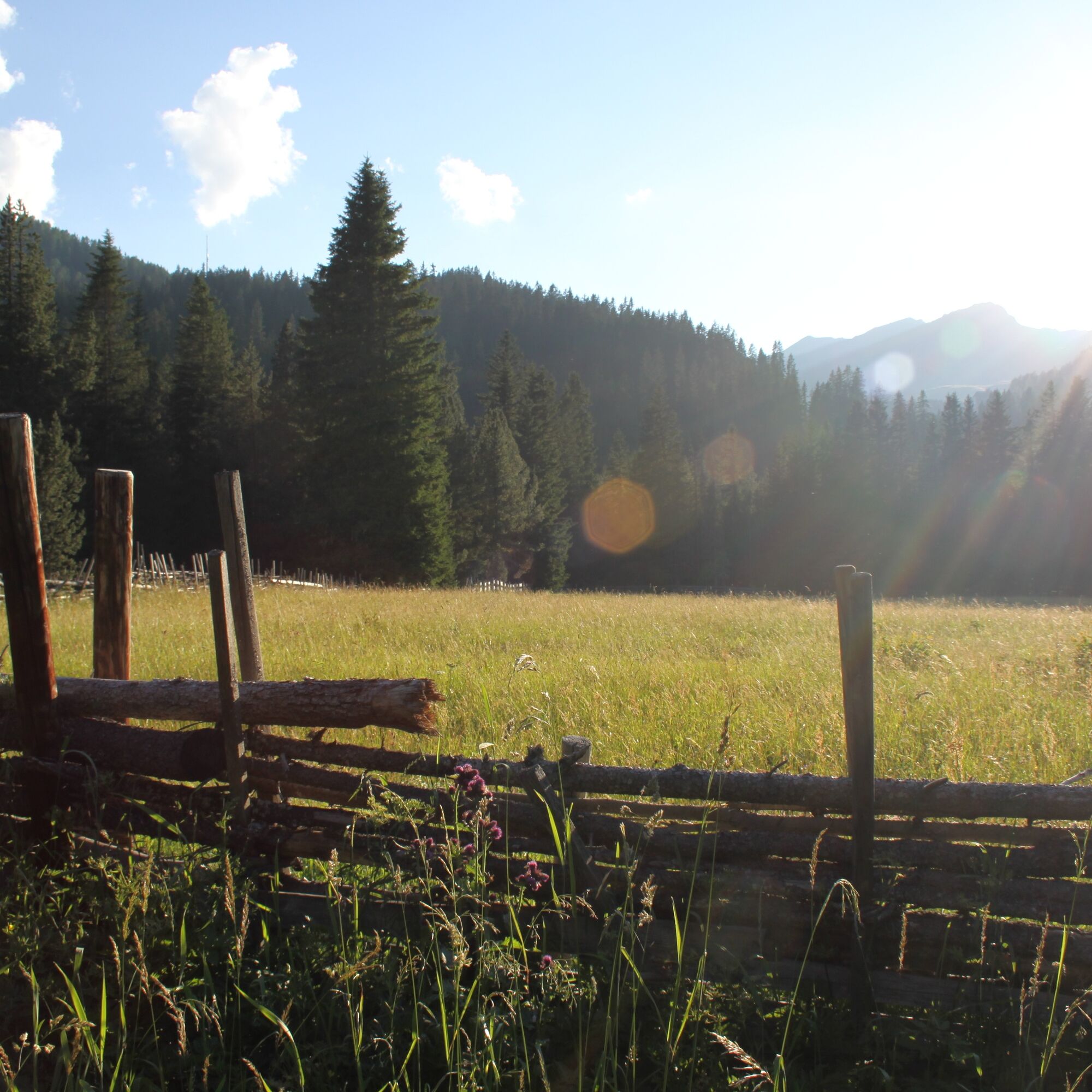
The starting point for this mountain hike is the Unterseeplatz. On paved paths, you go to the sewage plant where you cross the Welschtobelbach at the "mini Golden Gate Bridge." Past the Isel meadow, the path slowly but steadily begins to climb and leads through moss-covered Furggawald up to Furggabödeli. Past the weathered limestone towers of the Amselfluh on the right and the steep slopes of the Furggahorn on the left, you ascend to the Maienfelder Furgga (2440 m asl), where there is a shelter in an open, gentle landscape. The descent goes partly through slightly swampy terrain to the Stafelalp (mountain restaurant) and continues over wide alpine meadows and a short stretch through the forest down to Frauenkirch. From there, you can reach Davos-Platz on foot or by train.
Good footwear with sturdy hiking soles and rain gear
Follow the signposts from Chur to Arosa.
Between Chur and Arosa, the Rhaetian Railway runs hourly. The Postplatz is located directly next to the station.
The Davos station is also regularly served by the Rhaetian Railway. Since the start and end of the hike are at different locations, we recommend traveling by public transport.
It is advisable to park the car in the Ochsenbühl parking garage. It is about 200 m from the Postplatz.
This hike is only possible in summer.
Webkameraer fra turen
-
Weissfluhjoch
-
Jakobshorn
-
Davos / Schweizerische Alpine Mittelschule
-
Arosa - Hörnli
-
Hotel Schatzalp Davos
-
Bolgen
-
Bergstation Schatzalp-Bahn
-
Schatzalp - Sommerrodelbahn
-
Strela Berg
-
Strela Pass - Davos
-
Strela Pass - Davos
-
Davos Platz
-
Davos / Schweizerische Alpine Mittelschule
-
Davos / Schweizerische Alpine Mittelschule
-
Davos / Schweizerische Alpine Mittelschule
-
Davos / Schweizerische Alpine Mittelschule
-
Davos / Schweizerische Alpine Mittelschule
-
Arosa - Tschuggen
-
Jakobshorn
-
Jakobshorn
-
Jakobshorn
-
Jakobshorn
-
Jakobshorn
-
Jakobshorn
-
Jakobshorn
-
Weissfluhjoch
-
Weissfluhjoch
-
Weissfluhjoch
-
Weissfluhjoch
-
Weissfluhjoch
-
Restaurant Schatzalp
-
Jatzmeder
-
Jatzmeder
-
Jatzmeder
-
Jatzmeder
-
Jatzmeder
-
Arosa - Bärenland
-
Arosa - Weisshorn
-
Arosa - Dorf
-
Arosa - Alp Maran
Populære turer i nabolaget
-
Alp Sanaspans - Rothorn
tungVandring 13,6 km -
Parsenn
middelsSki 39,7 km -
5,0
Arosa-Hörnli-Urdenfürrgli-Alp Scharmoin-Lenzerheide
middelsVandring 15,3 km -
3,0
207 Mittelberg Parpan
middelsVandring om vinteren 7,07 km -
4,5
Davos Jackobshorn - Jatzihorn - Sertig Dörfli, Schweiz
middelsVandring 8,29 km -
521 Era Vedra
middelsSnesko 2,82 km -
Alp Sanaspans - Lenzerhorn
tungVandring 6,28 km -
Schanfigg high route
tunglangdistanse tursti 79,9 km -
5,0
4-Viaduct hike
middelsVandring 13,6 km -
Mid-station Arosa Weisshorn - Schwellisee - Bergkirchli - Innerarosa
Vandring 8,82 km

Vandring og sporing


Ikke gå glipp av tilbud og inspirasjon til din neste ferie
E-postadressen din har blitt lagt til på adresselisten.