


Bilder av brukerne våre
-
 © Marcel ZielinskiOpprettet den 11.09.2025
 -
 © Marcel ZielinskiOpprettet den 11.09.2025
 -
 © Marcel ZielinskiOpprettet den 11.09.2025
 -
 © Marcel ZielinskiOpprettet den 11.09.2025
 -
 © Marcel ZielinskiOpprettet den 11.09.2025
 -
 © lotharkoernerOpprettet den 18.07.2025
 -
 © Andi1982Opprettet den 26.08.2024
 -
 © Matej Mikus 1Opprettet den 25.07.2024
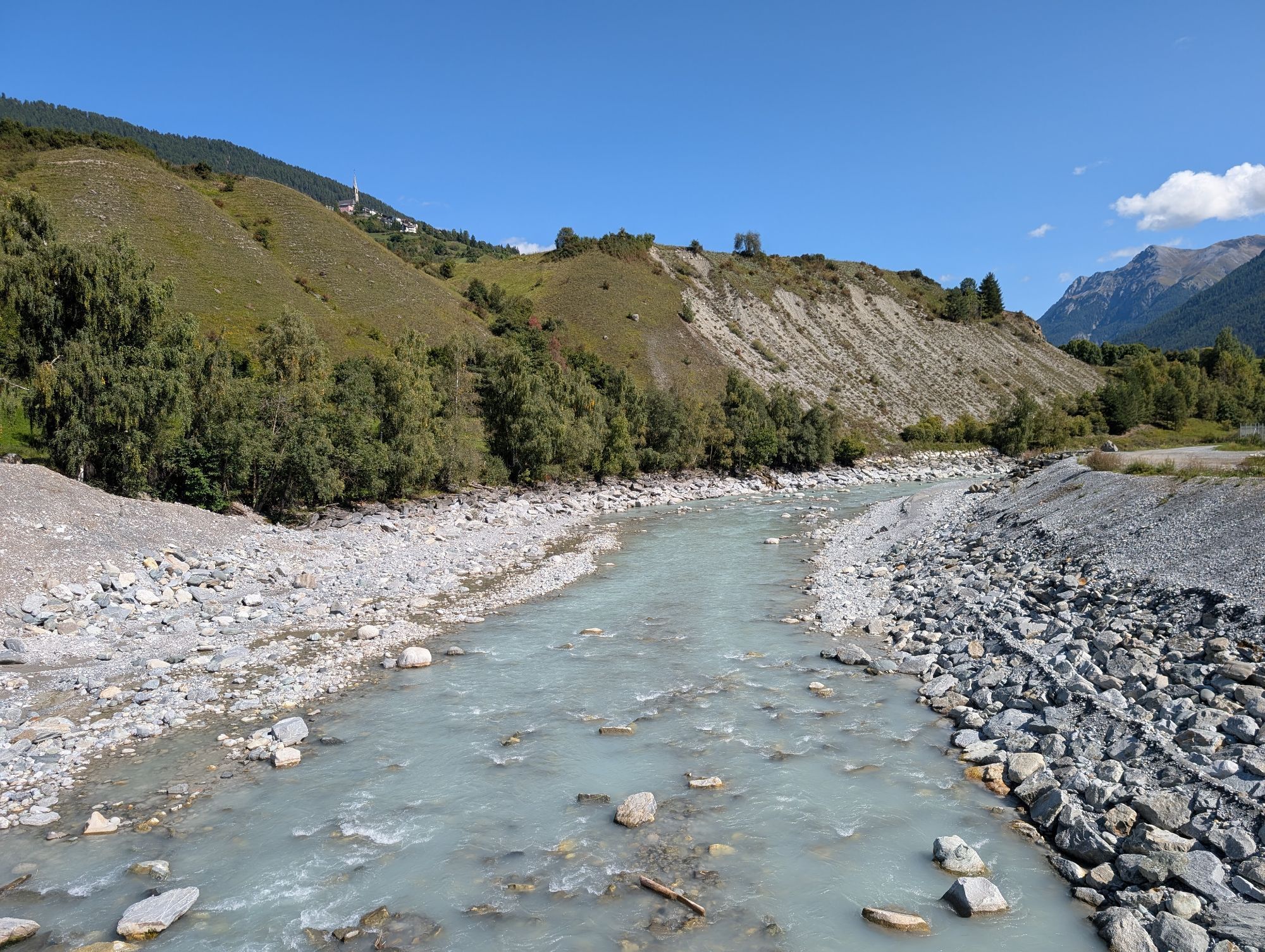
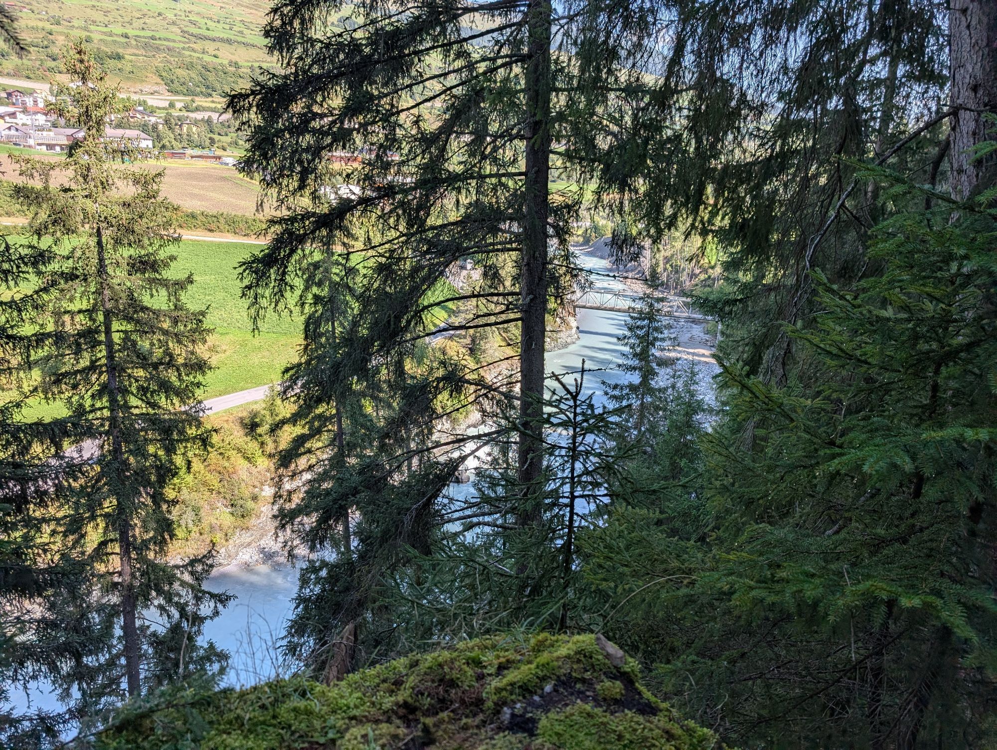
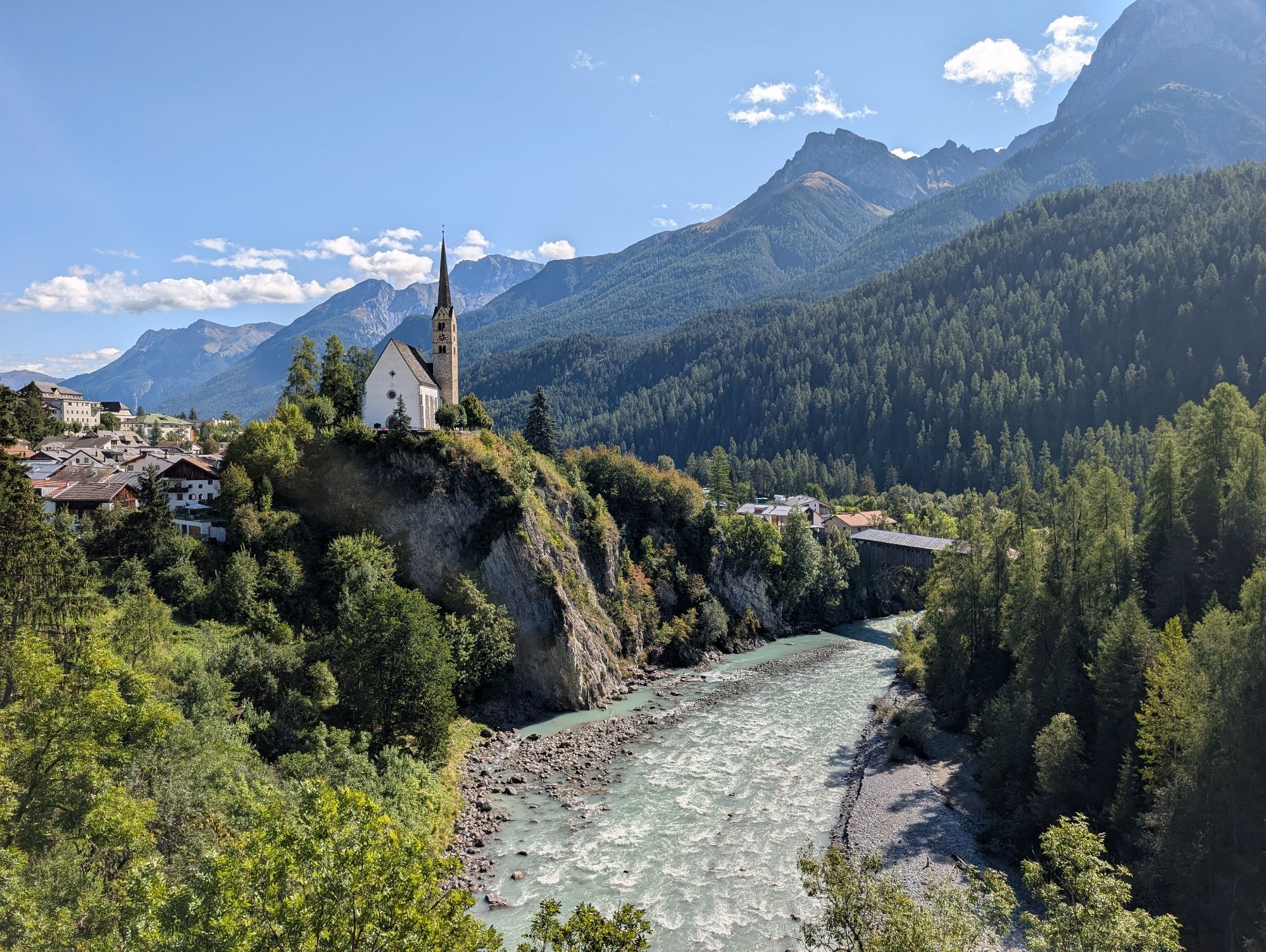
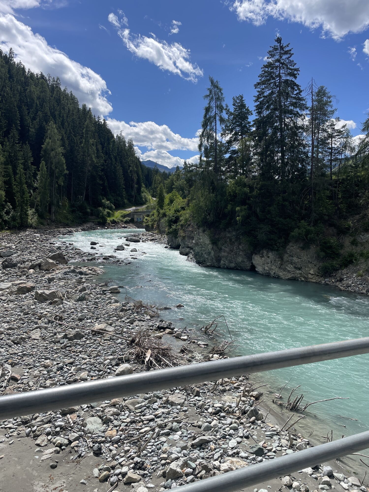

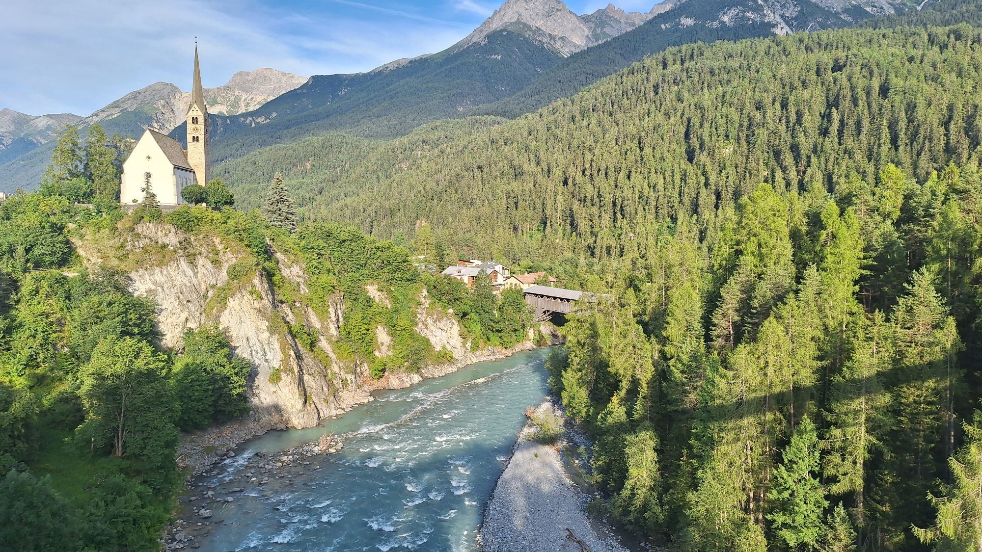
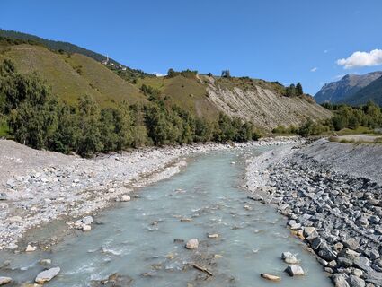
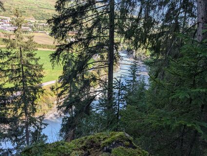
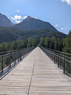
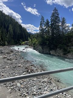
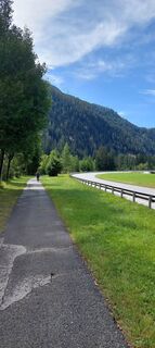
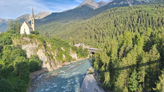
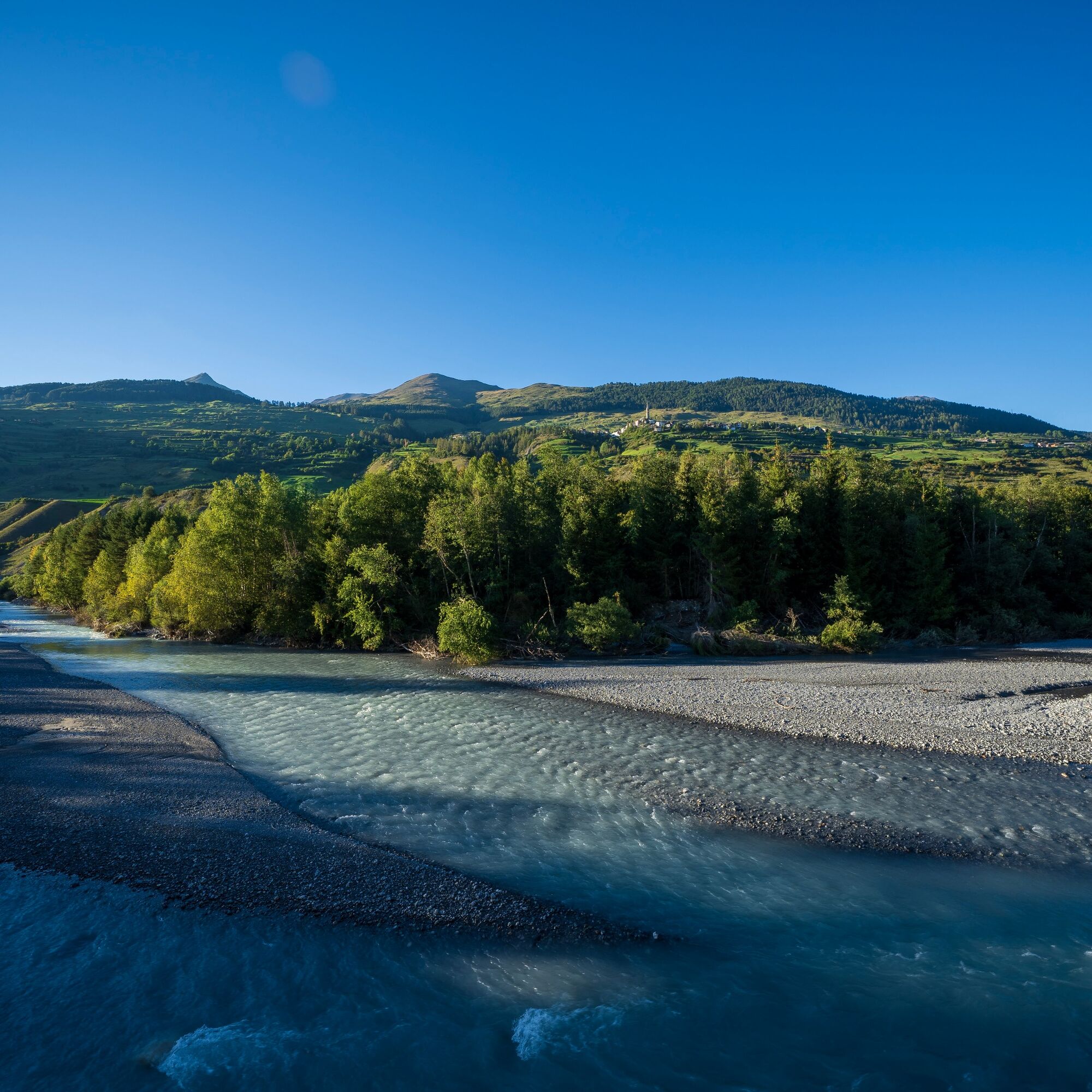
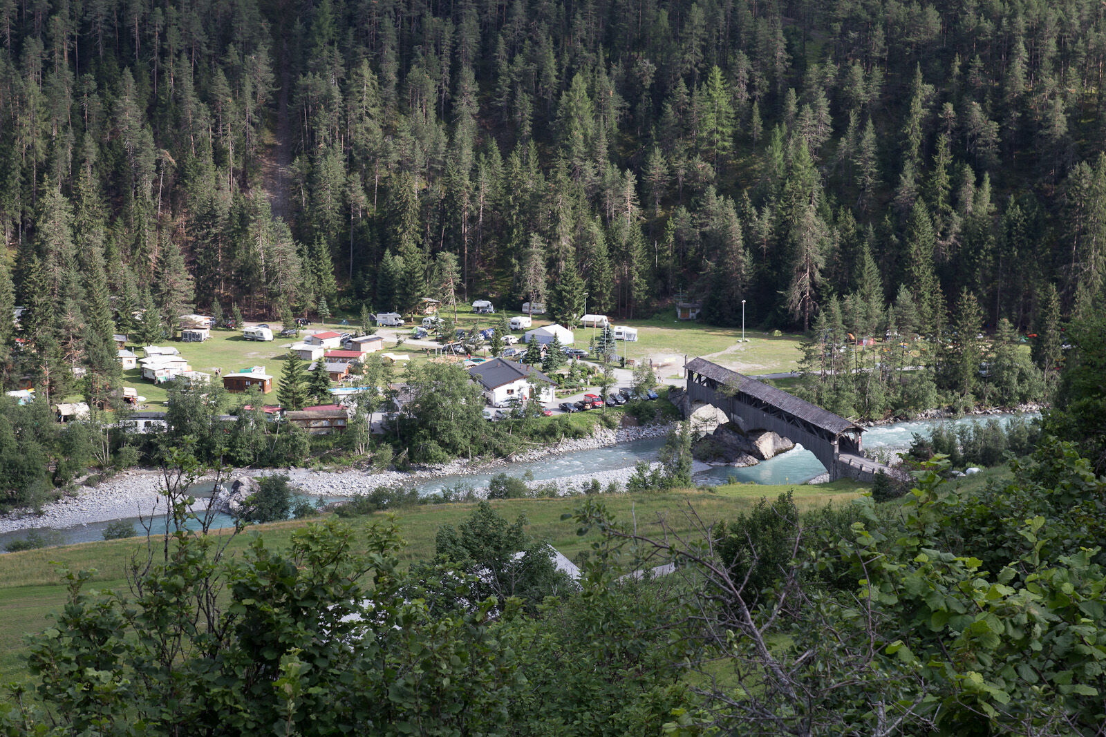
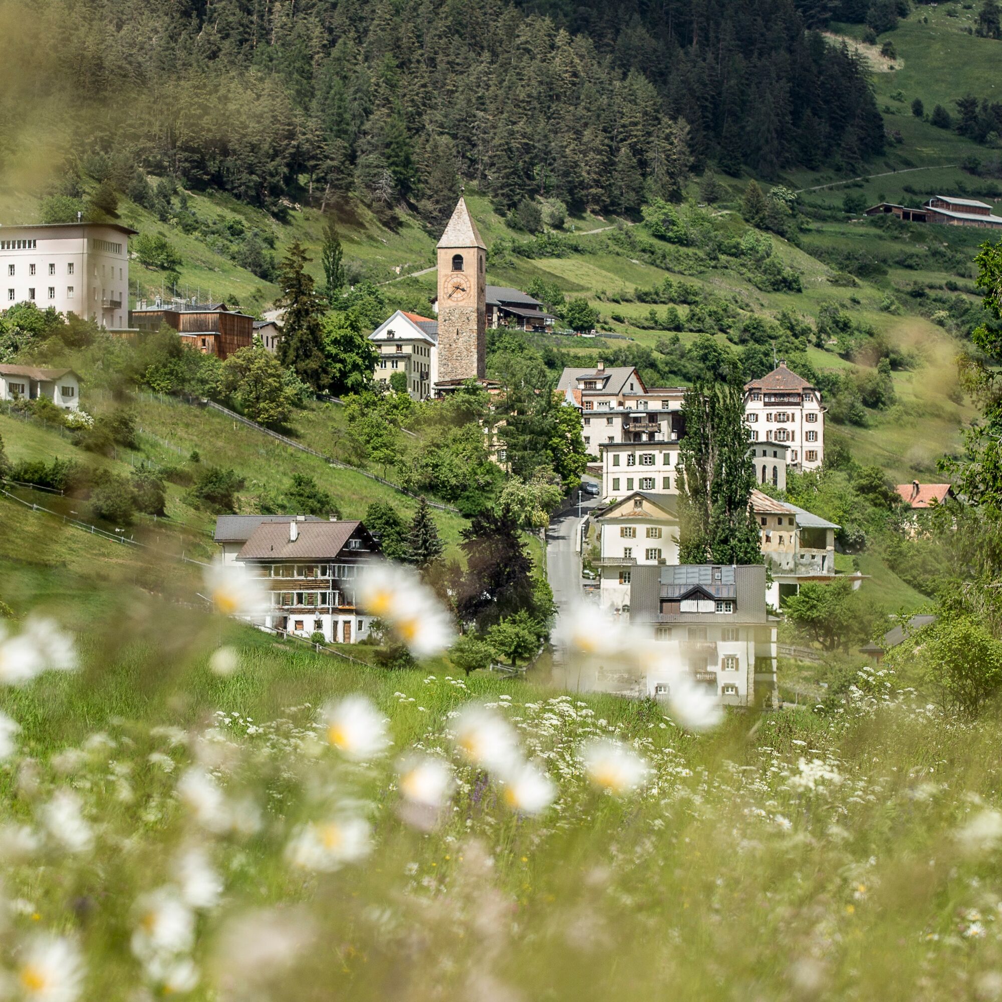
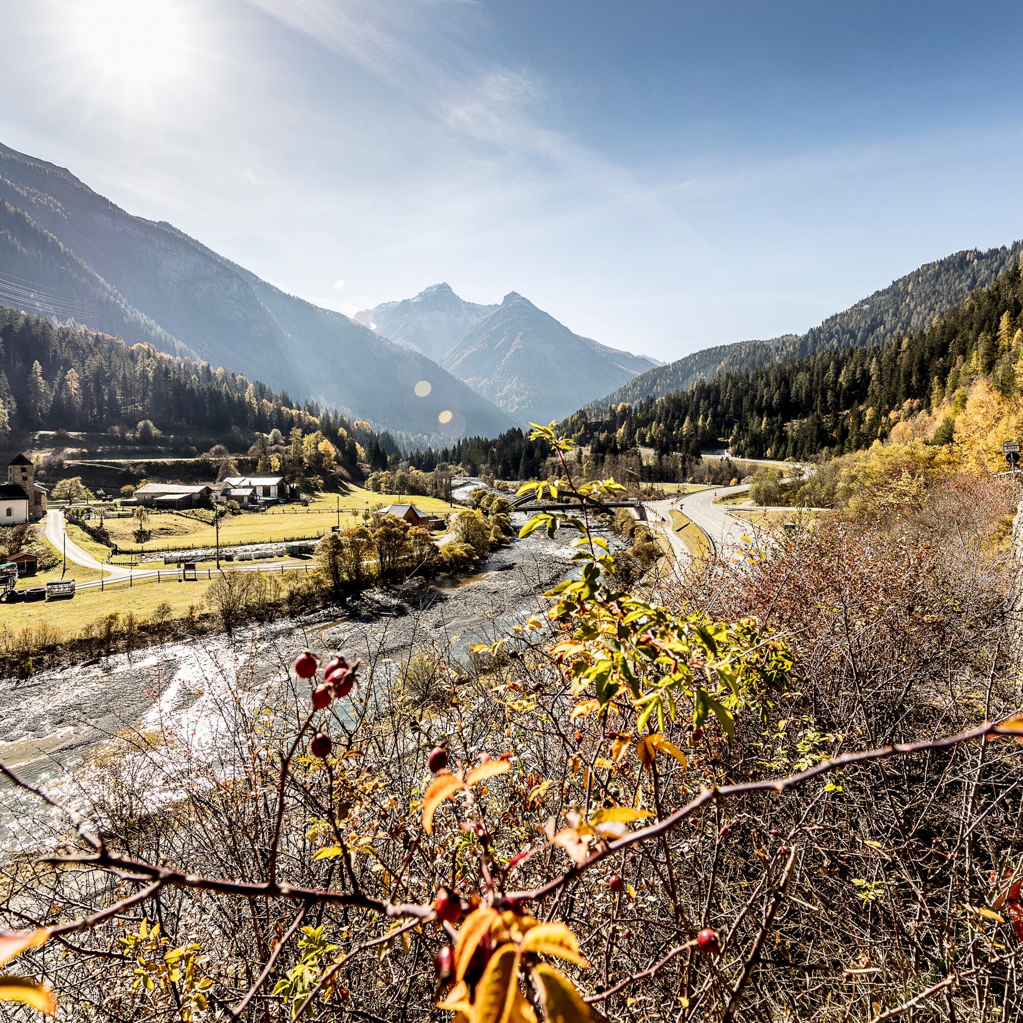
The route leads from Scuol along the valley floor and the Inn to Martina. Along the way, you pass the hamlets of Pradella and Sur En. Sur En offers some attractions especially for families. Towards the...
The route leads from Scuol along the valley floor and the Inn to Martina. Along the way, you pass the hamlets of Pradella and Sur En. Sur En offers some attractions especially for families. Towards the national border, the landscape is also known as "Il giardin da l’En" – the garden of the Inn. The surroundings around Strada and Martina are especially fertile, green, species-rich and intact.

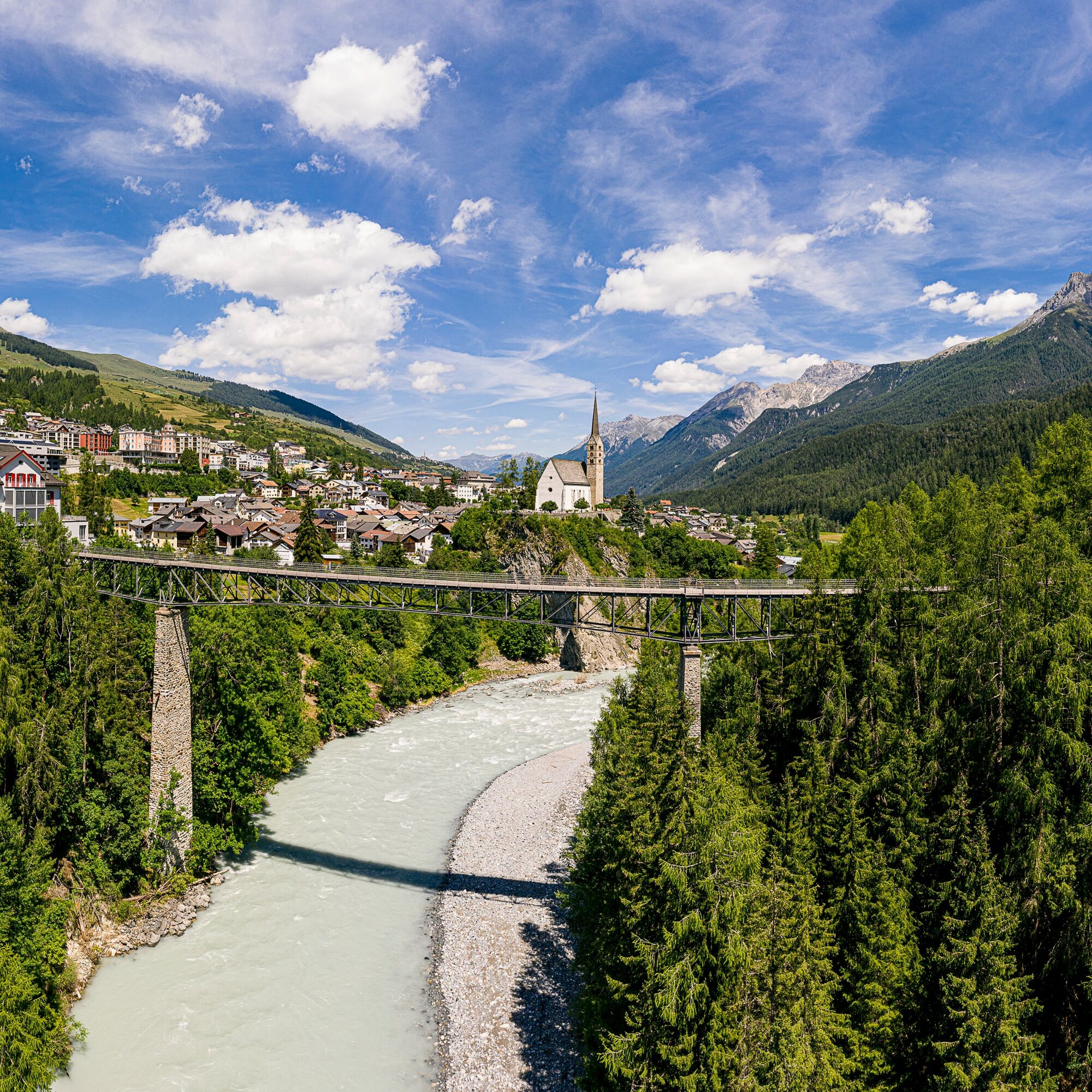
Scuol
Valley floor and along the Inn
Pradella
Sur En
Strada
Martina
Ja
Simple hiking or running shoes with good tread are sufficient for this leisurely round.
The route was rated under favorable weather conditions; current weather conditions and forecasts must be strictly observed before starting the route.
Emergency numbers:
144 Emergency call, first aid
1414 Mountain rescue REGA
112 International emergency call
From the north: via Landquart – Klosters by car shuttle through the Vereina tunnel (Selfranga - Sagliains) or via the Flüela pass into the Lower Engadin on H27
From the east: via Landeck / Austria towards St. Moritz on H27
From the south: via Reschen pass (Nauders-Martina) or Ofen pass (Val Müstair-Zernez) on H27
Scuol is located directly on the Engadin road H27 (20 minutes driving time from Vereina south portal)
By the Rhaetian Railway (from Chur, Landquart/Prättigau or from the Upper Engadin) hourly to Scuol-Tarasp
By the PostAuto (from Martina, Sent, Ftan or Tarasp) hourly to the Scuol-Tarasp station
By the local bus (operates throughout Scuol) to the PostAuto stop Scuol, Chantröven
Paid parking nearby
Populære turer i nabolaget
-
4,1
Panoramaweg Schöneben Haider Alm
lysVandring 5,78 km -
3,5
Nauders - Bergkastel - Plamort - Reschen - Nauders
middelsTerrengsykkel 20,9 km -
4,5
Rundwanderweg Wattles und Sesvenna
lysVandring 16,4 km -
4,2
Reschensee
lysVandring 15,6 km -
5,0
NAUDERS | Grenzüberquerung
lysVandring 7,41 km -
5,0
Samnaun Dorf – Muttler
tungVandring 14,8 km -
5,0
Plamort
lysVandring 8,25 km -
Suspension Bridge Trail Val Sinestra – Zuort – Griosch – Vnà
middelsVandring 11,0 km -
5,0
3 Länder Tour Uinaschlucht MTB
tungTerrengsykkel 74,6 km -
4,0
001.01 Alpine Bike Stage 1 Scuol - Tschierv
middelsTerrengsykkel 31,4 km

Vandring og sporing


Ikke gå glipp av tilbud og inspirasjon til din neste ferie
E-postadressen din har blitt lagt til på adresselisten.