


Vanskelighetsgrad: T2
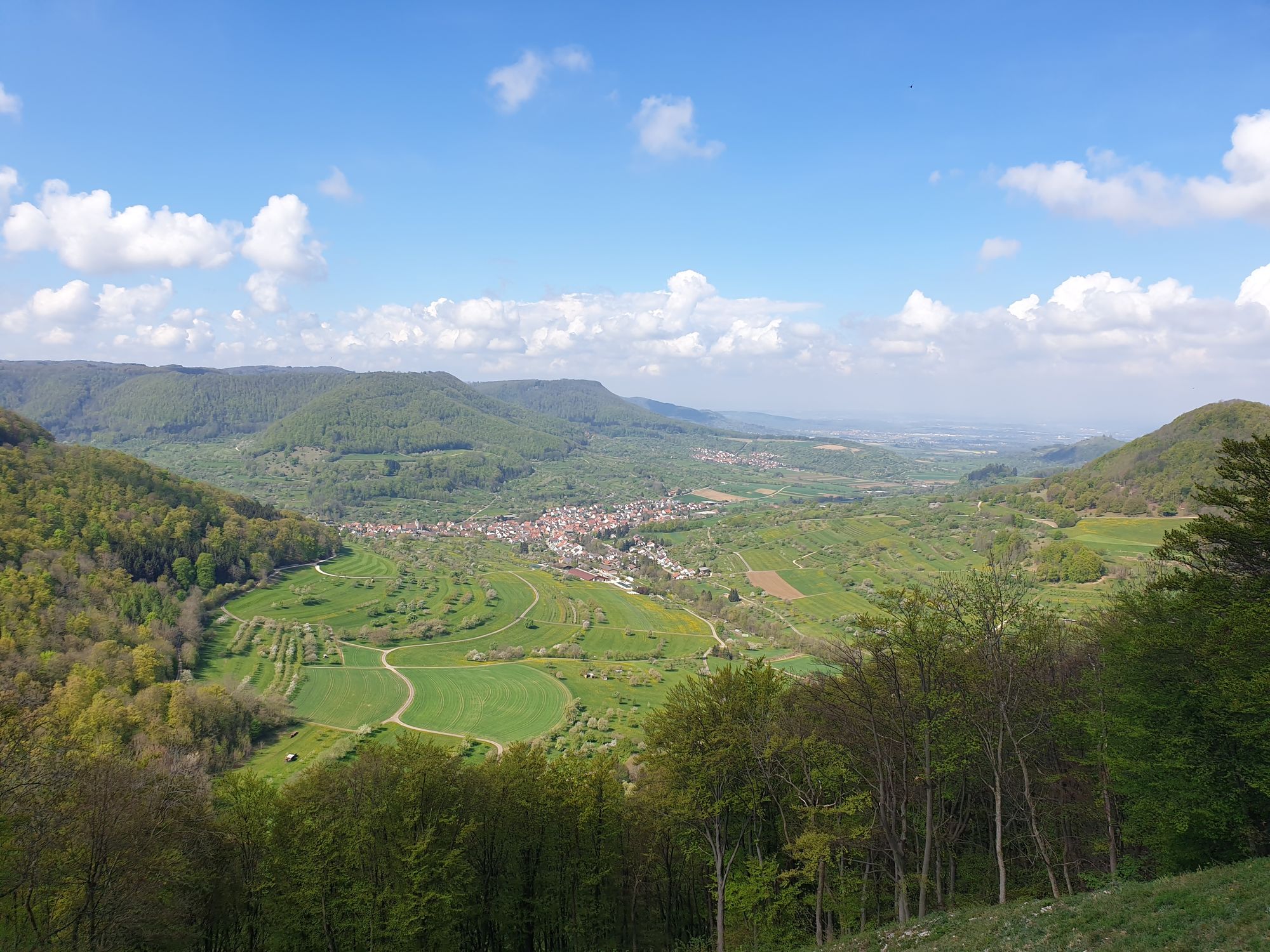
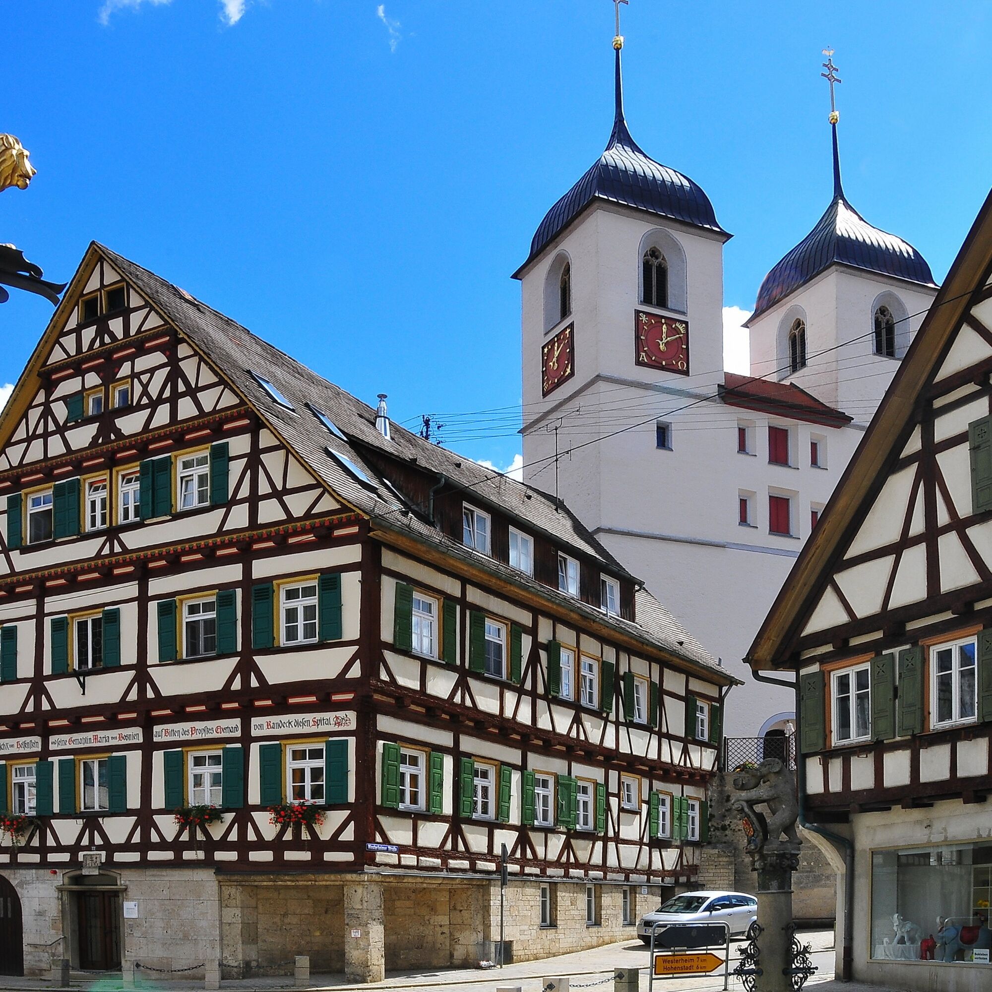
The small town of Wiesensteig lies picturesquely nestled in steep slopes of the Swabian Alb and is a state-recognized recreation area.
An extensive network of hiking trails crosses the Alb plateau and...
The small town of Wiesensteig lies picturesquely nestled in steep slopes of the Swabian Alb and is a state-recognized recreation area.
An extensive network of hiking trails crosses the Alb plateau and offers beautiful hiking opportunities with attractive viewpoints (rock needle "Steinernes Weib") for both walkers and avid hikers.
A popular destination for young and old is the source of the Fils. The spring rises in an idyllic valley and makes its way past beautiful meadows. For many centuries, Wiesensteig has delighted visitors with its apparent untouched nature, primal character, and the hospitality of its residents.
City of Wiesensteig
Hauptstraße 25 | 73349 Wiesensteig
07335 9620-0 | info@wiesensteig.de | www.wiesensteig.de

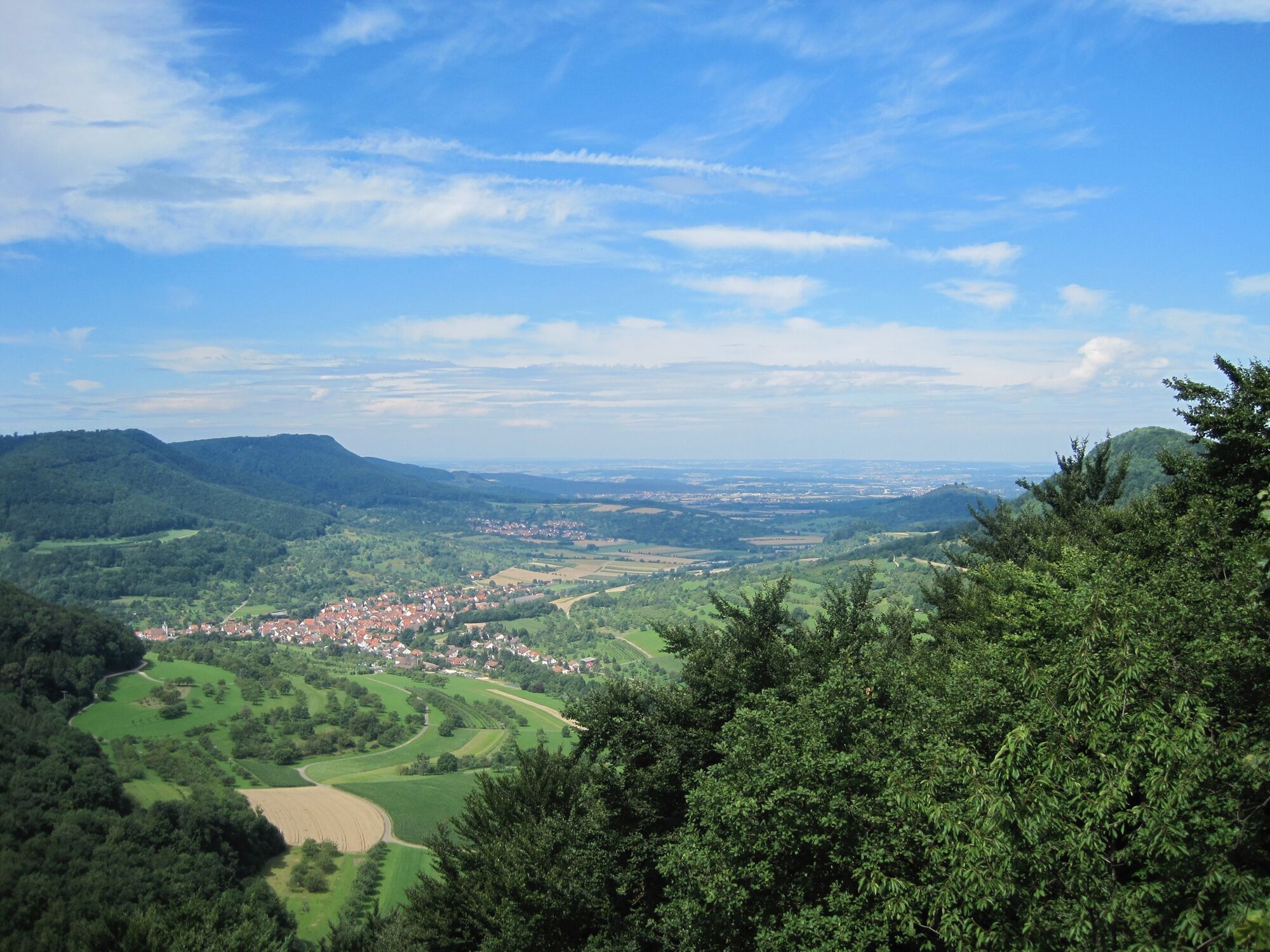
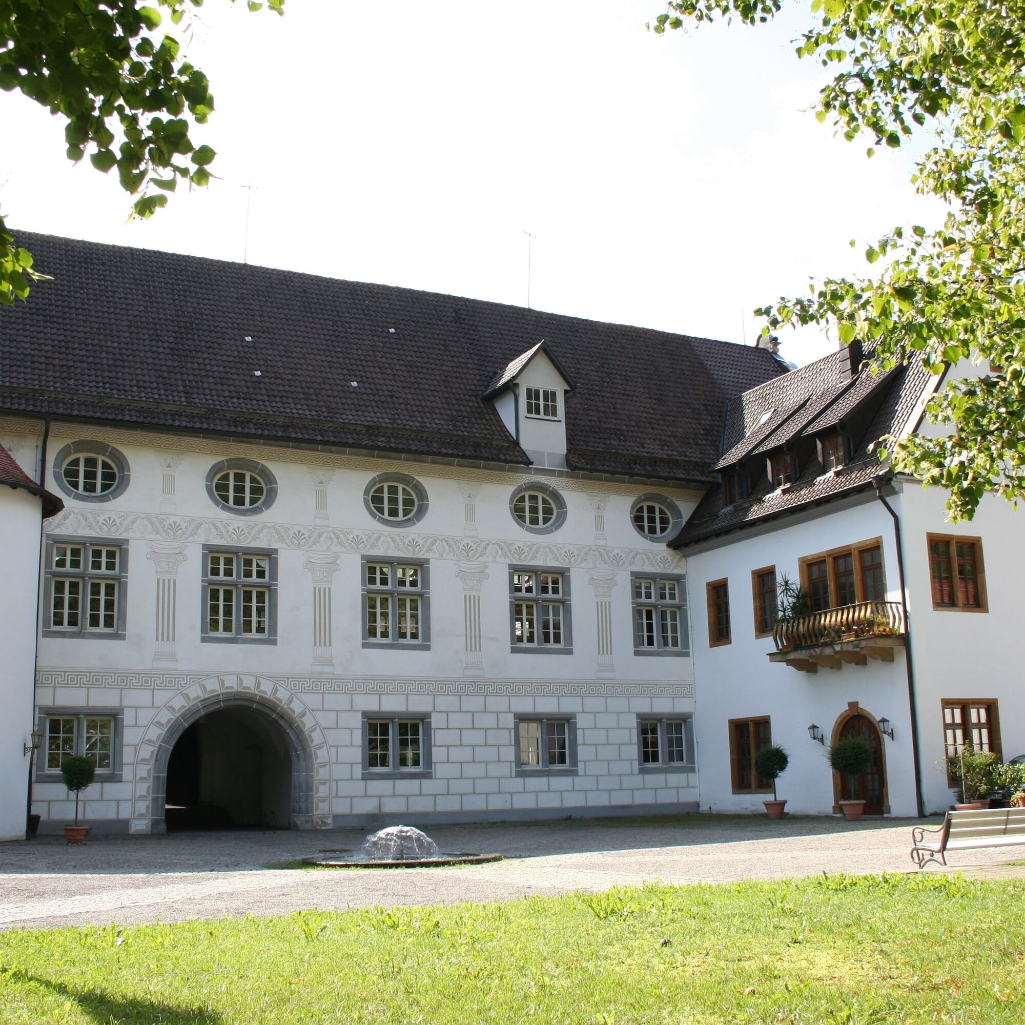
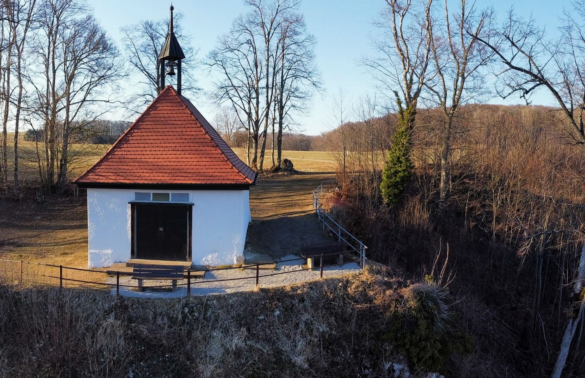
We start at the castle car park and follow the signs along the path through the beech forest up to the Cross Chapel. It is lined with several Stations of the Cross. Once on the Alb plateau, we reach a viewpoint at the Cross Chapel that offers us a beautiful view over the small town and the Upper Fils valley.
Next, on the way through the Bläsihöfe, we pass the Rosenhof with its riding school. Past the Eckhöfe, the path continues near the edge of the Alb. Along the way, we reach the Wiesensteig ski area with a summer ski jump and a barbecue area. At the height of the hunting and nature school center/shooting house, we take the meadow path, which leads us once more up into the forest and halfway along the Sommerberg.
Wear sturdy, non-slip footwear and weather-appropriate clothing. A backpack with water, snacks, and a first aid kit is recommended.
When wet, some paths can be slippery and dangerous. Watch your steps and use hiking poles if necessary for stability.
Wiesensteig lies directly on the BAB A8 Stuttgart-Munich: exit Wiesensteig/Mühlhausen. From Mühlhausen im Täle it is 4 km to Wiesensteig.
Take RE 5 or MEX 16 from Stuttgart or Ulm to Geislingen/Steige. From there, bus line 966 runs to the stop "Wiesensteig, Rathaus". Alternatively, take RE 5 or MEX 16 from Stuttgart or Ulm to Göppingen. From there, bus line 981 also goes to the "Wiesensteig, Rathaus" stop.
You can find the district timetable at: www.vvs.de/fahrplan
Parking is available at the castle car park.
T2
Respectful coexistence in the district of Göppingen.
Code of Conduct:
Respect path closures and the quiet zones developed in the leisure paths concept. Leave no traces such as litter or animal droppings; treat your path carefully. Act foresighted and considerately. Adapt your behavior to the situation. Safety comes first. Respect other users of forests and fields. Be considerate of animals and plants. Plan ahead and use daylight. Try to avoid dusk in the morning and evening. Observe the ban on entering agriculturally used areas during the growing season. Stay on designated paths and avoid forest edges, so wild animals can better get used to humans.More information at ruecksicht-macht-wege-breiter.de
Populære turer i nabolaget
-
5,0
Löwenpfad "Filsursprung-Runde" - pure nature around the Reußenstein
middelsVandring 14,1 km -
5,0
Lion trail "Berta-Hörnle-Tour" - castle stories in a dreamlike setting
tungVandring 14,7 km -
4,6
Löwenpfad "Orchideenpfad" - Herbs, Pasqueflower and Juniper Heathlands
middelsVandring 9,33 km -
1,0
Nordalbrunde
middelsVandring 4,76 km -
5,0
Breitensteinrunde
lysVandring 10,3 km -
5,0
Lenningen: Weiße Lauter, Wasserfels, Guttenberger-,Gußmannshöhle, Schopflocher Moor, Hohgreutfels, Ruine Wielandstein
middelsVandring 15,7 km -
3,8
Lion trail "Ave-Weg" - A touch of pilgrimage on the Albtrauf
middelsVandring 8,65 km -
3,7
Löwenpfad "Wasserberg-Runde" - pure panorama and typical Swabian Jura landscapes
tungVandring 12,0 km -
5,0
Boßler circuit
middelsVandring 8,59 km -
Löwenpfad "Höhenrunde" - Hiltenburg and the Albtrauf in its purest form
middelsVandring 10,7 km

Vandring og sporing


Ikke gå glipp av tilbud og inspirasjon til din neste ferie
E-postadressen din har blitt lagt til på adresselisten.