


Bilder av brukerne våre
-

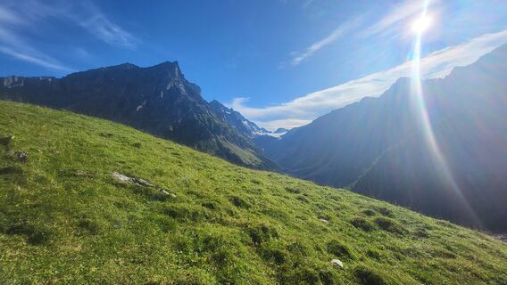
 © MorenabeyelerOpprettet den 06.09.2025
 -
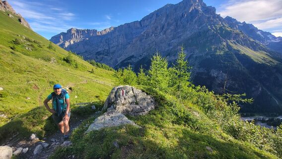
 © MorenabeyelerOpprettet den 06.09.2025
 -
 © MorenabeyelerOpprettet den 06.09.2025
 -

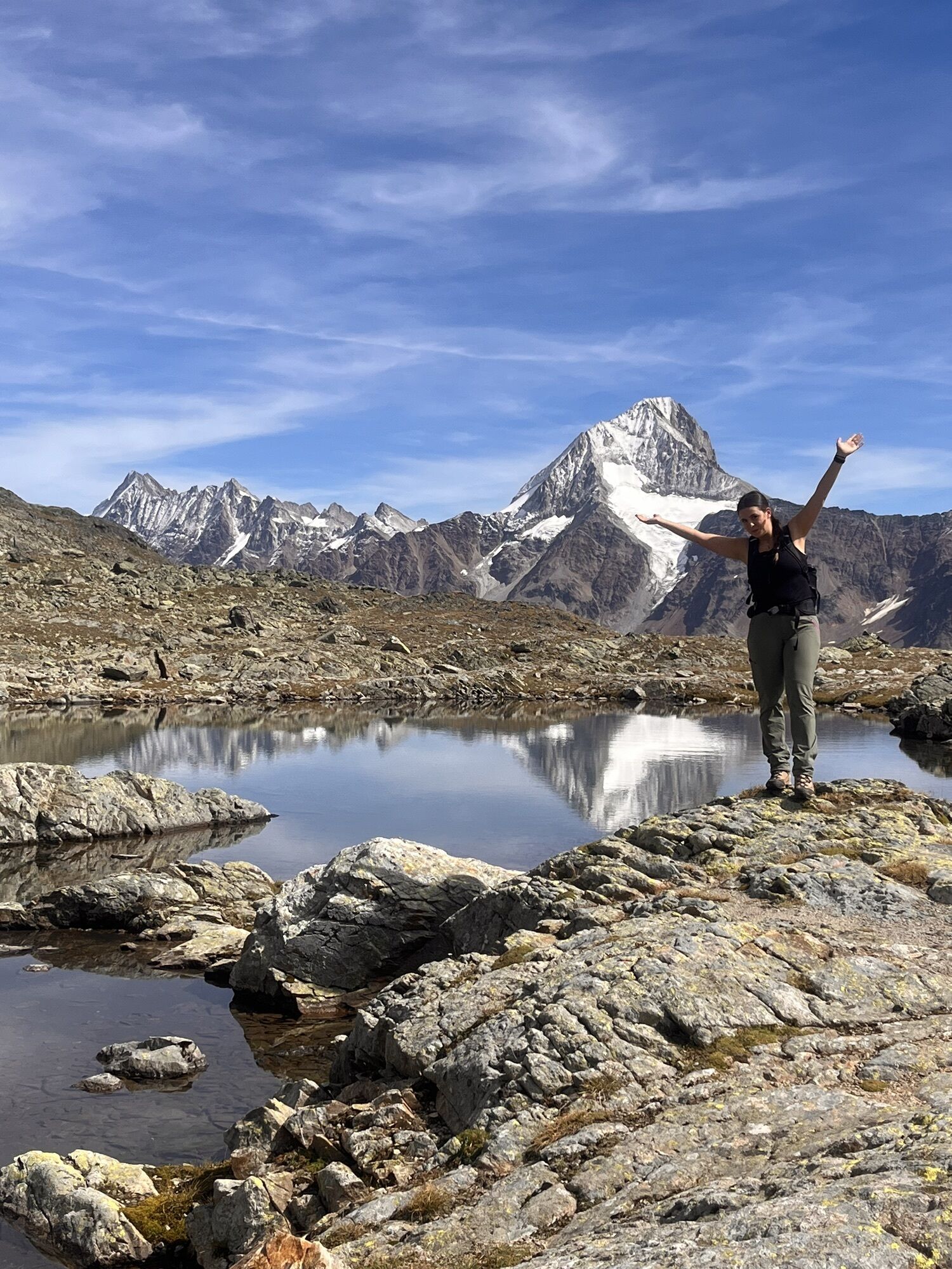
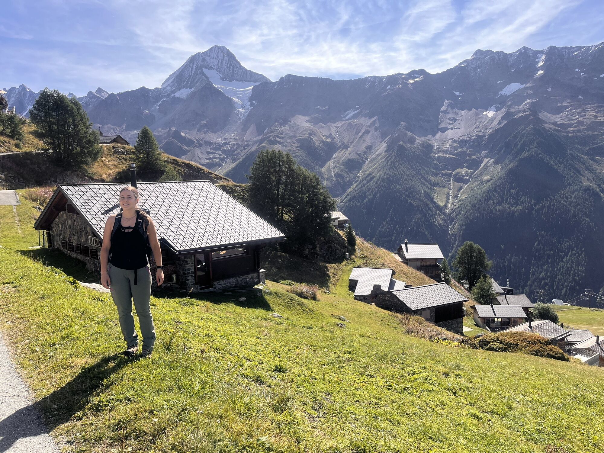
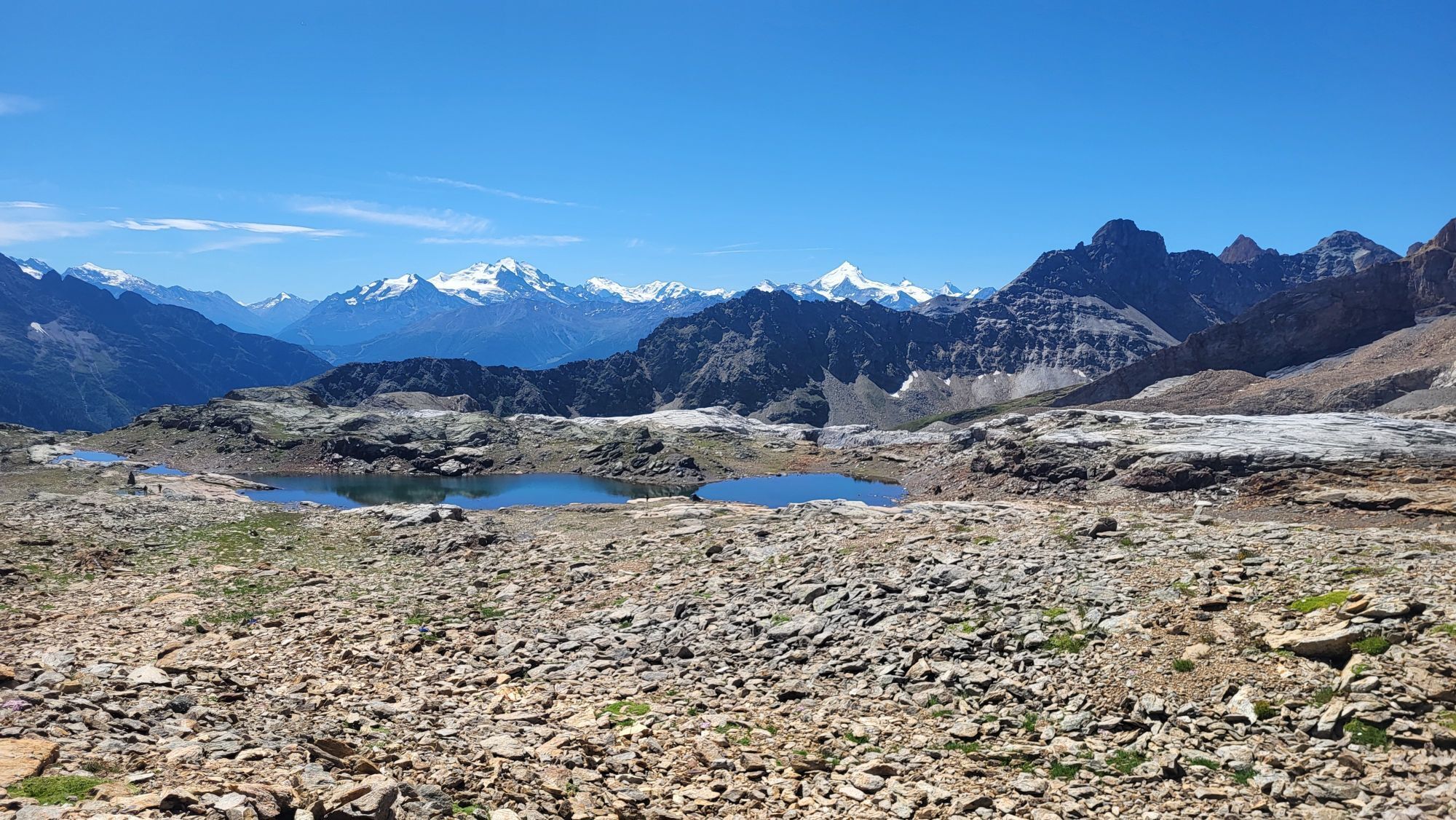
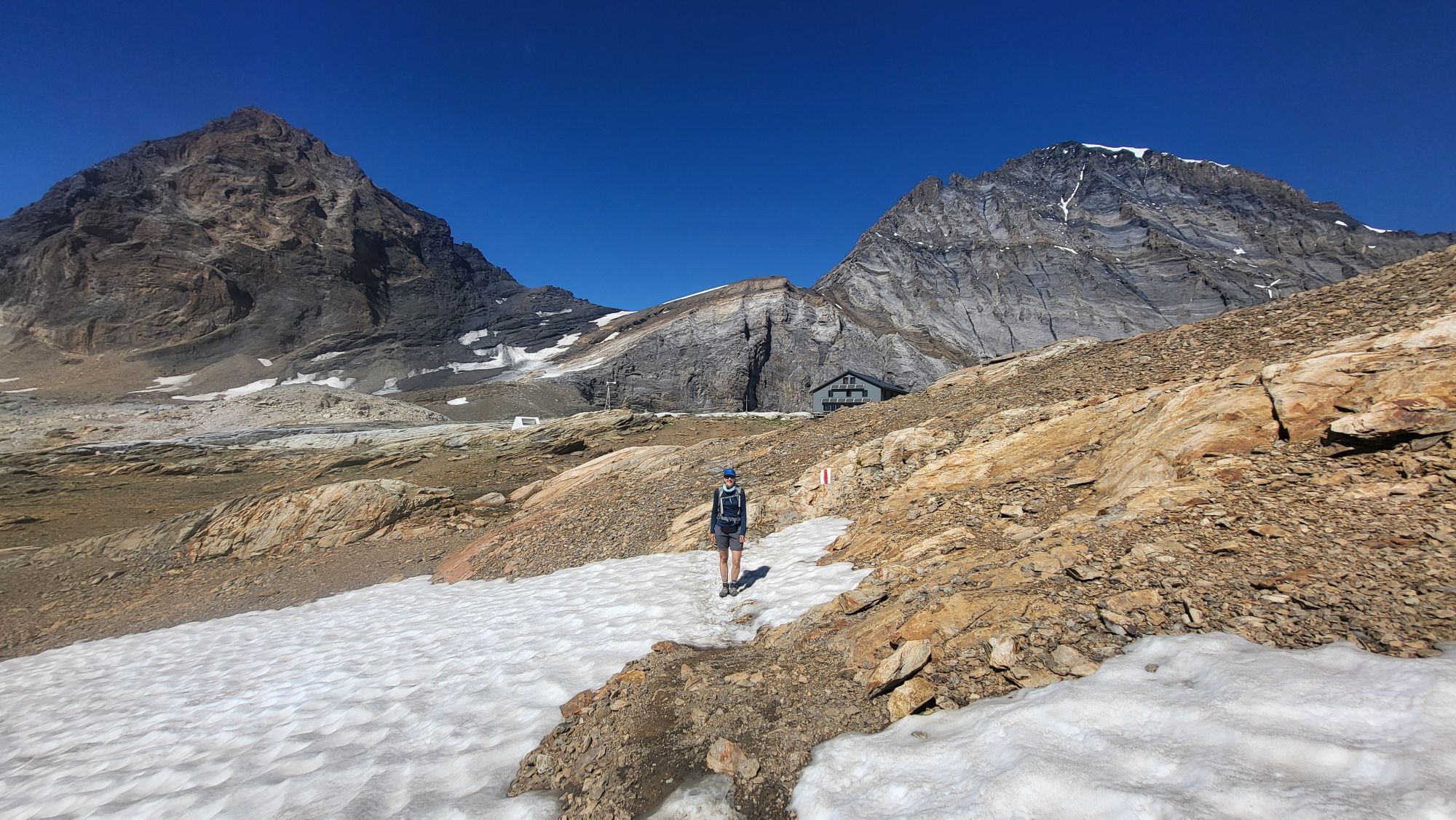
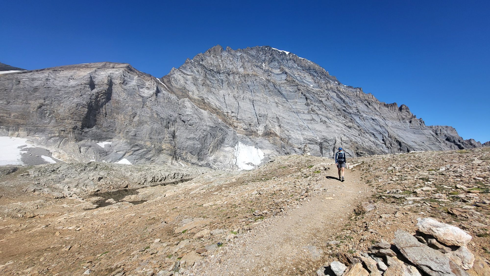
 © Sartori MarcoOpprettet den 18.07.2025
 -
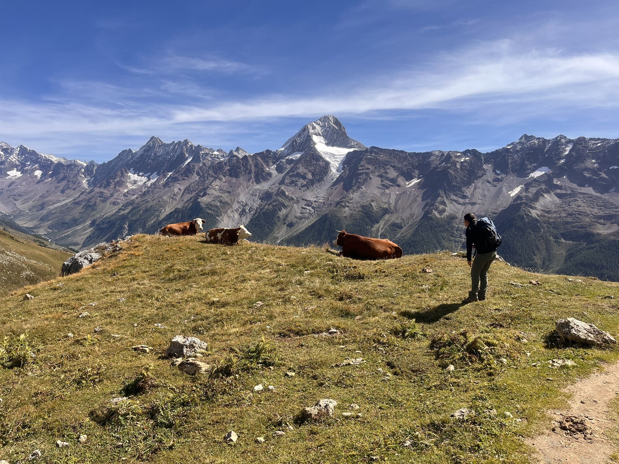
 © Sartori MarcoOpprettet den 18.07.2025
 -
 © Sartori MarcoOpprettet den 18.07.2025
 -
 © Sartori MarcoOpprettet den 18.07.2025
 -
 © Sartori MarcoOpprettet den 18.07.2025
 -
 © Sartori MarcoOpprettet den 18.07.2025
 -
 © Sartori MarcoOpprettet den 18.07.2025
 -
 © Sartori MarcoOpprettet den 18.07.2025
 -
 © Sartori MarcoOpprettet den 18.07.2025
 -
 © Sartori MarcoOpprettet den 18.07.2025
 -
 © Sartori MarcoOpprettet den 18.07.2025
 -
 © Sartori MarcoOpprettet den 18.07.2025
 -
 © Sartori MarcoOpprettet den 18.07.2025
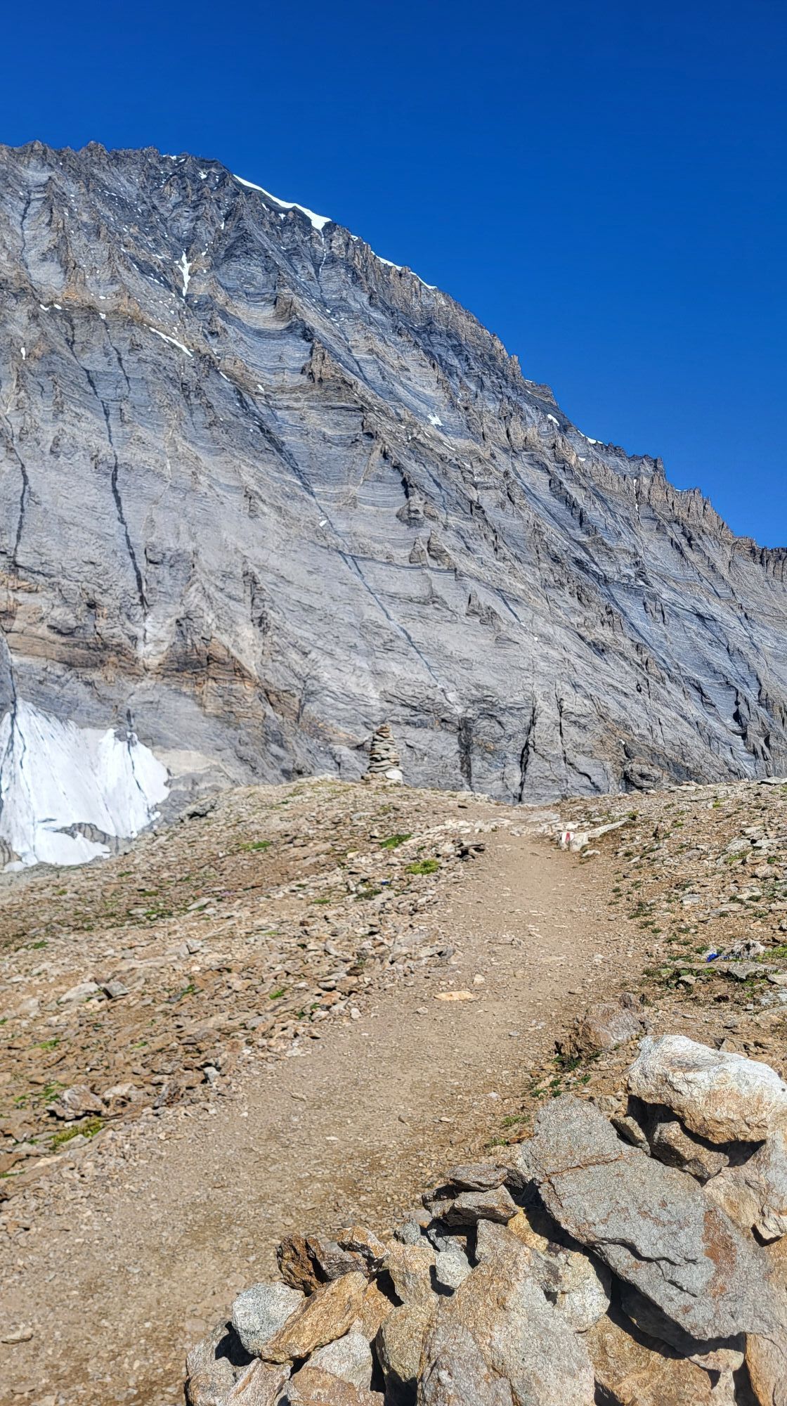


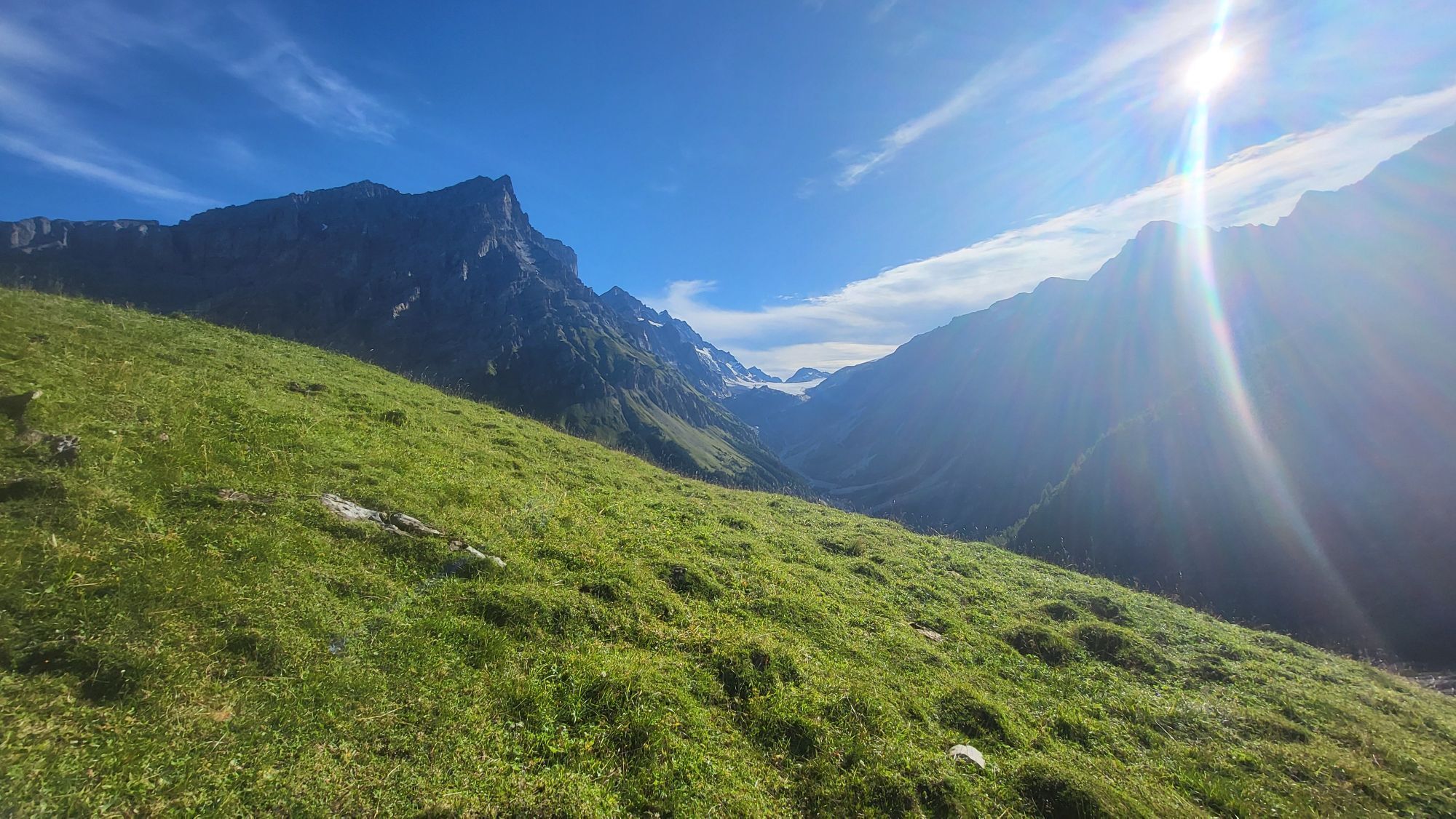

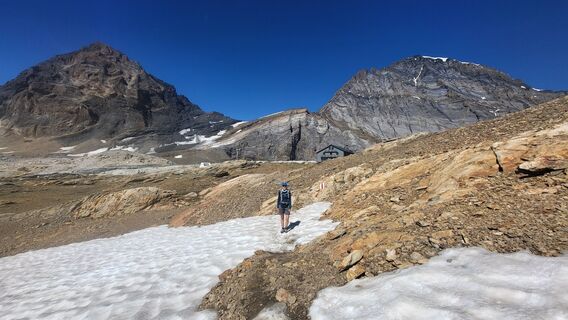
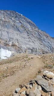
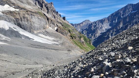
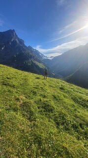
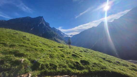
From Lauchernalp, start this beautiful hike with the ascent to the Lötschen Pass. With a summit at 2,690 m above sea level, crossing the Lötschen Pass demands a good deal of endurance. In return, the view...
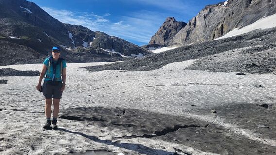
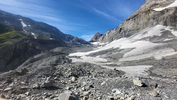
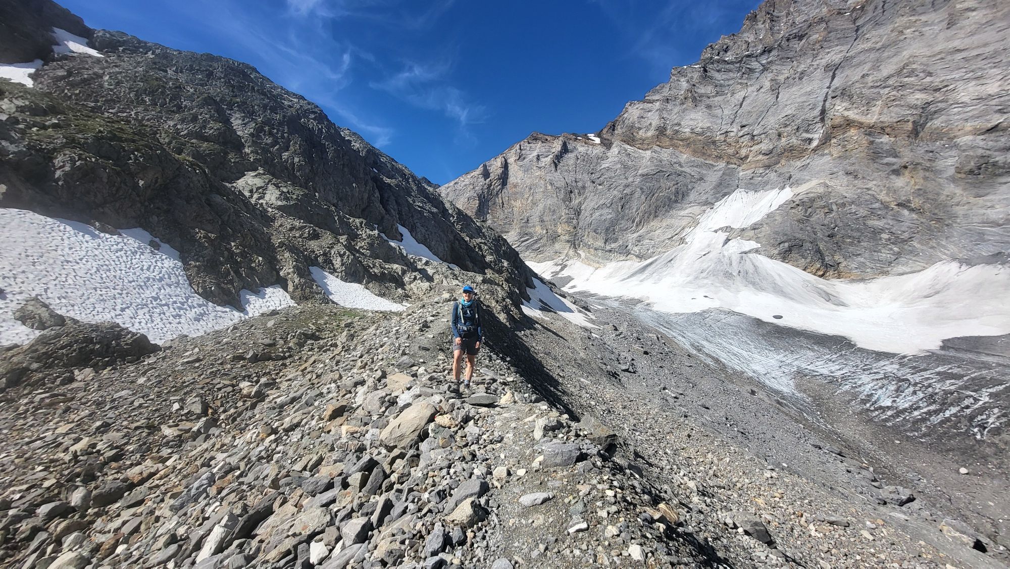
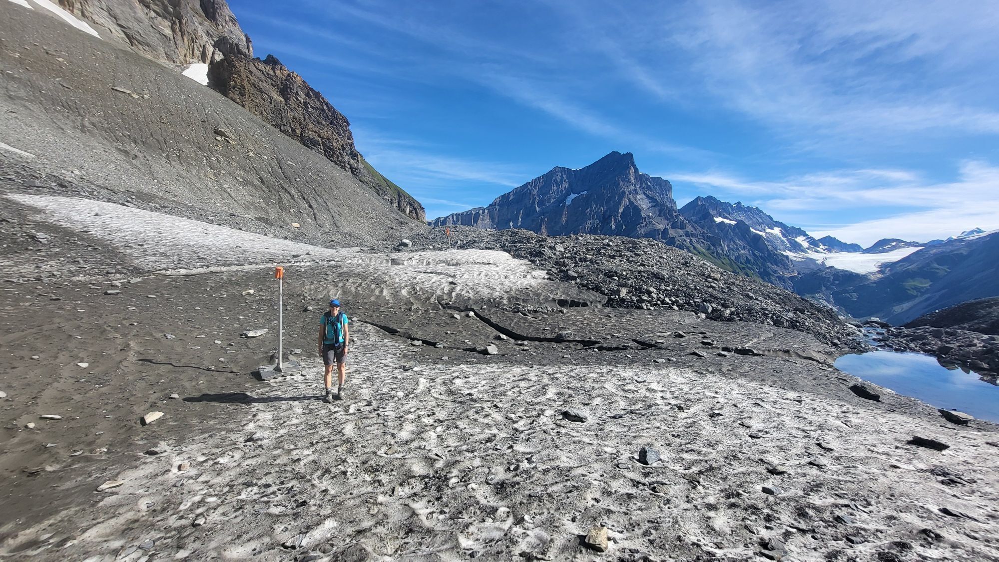
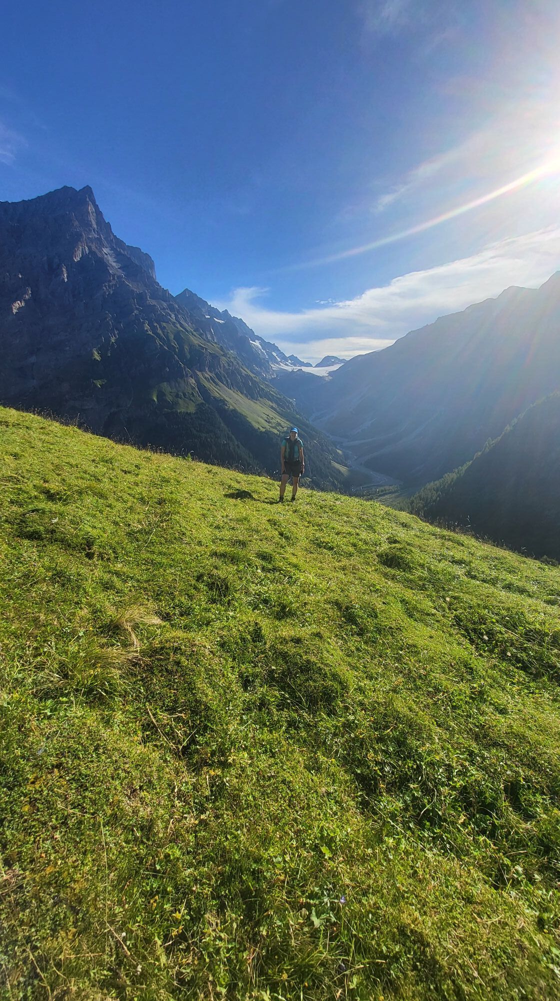
From Lauchernalp, start this beautiful hike with the ascent to the Lötschen Pass. With a summit at 2,690 m above sea level, crossing the Lötschen Pass demands a good deal of endurance. In return, the view of the mountains around the Lötschental and Kandertal is all the more magnificent. Especially the view over to the mighty Bietschhorn and beyond the Rhone Valley to the Mischabel group is breathtaking. At the Lötschen Pass, you reach the Lötschen Pass hut. Here you can recharge your strength for the descent into the Lötschental (overnight stay in the Lötschen Pass hut is also possible). On the descent into the Bernese Oberland hike, you cross the Lötschen glacier, which is covered over long stretches with gravel and stones of all colors. Here and there, the blue ice gleams through. Meltwater gurgles through small channels, and in some places the water has carved deep, winding grooves through which it rushes until it disappears into a hole. However, the glacier is easily passable with hiking boots. The path then leads steeply down into the Gasterntal to Selden, from where the bus takes you back to Kandersteg.
The ascent can be shortened by about 30 minutes by using the Lauchernalp-Stafel chairlift.


Lauchernalp-Lötschenpass-Selden/Gasterntal
Ja
Ja
Plan every mountain hike carefully!
Make sure you have suitable and complete equipment!
Never go on a mountain hike alone!
Inform relatives, acquaintances, the hut warden, or the hotel porter about your route. Report back upon arrival at the destination!
Constantly observe the weather developments!
Adhere to the principle "When in doubt, turn back"!
You travel to Kandersteg station. There you park your car. From Kandersteg station, the bus takes you into the Gasterntal, to Selden (reservation mandatory at Tel. +41 (0)33 671 11 72). The bus runs from June to September according to schedule (please check in advance).
Take the BLS train to Kandersteg. From Kandersteg station, the shuttle bus takes you into the Gasterntal, to Selden (reservation mandatory at Tel. +41 (0)33 671 11 72).
You can park your car at the parking lot at Kandersteg station (paid parking).
Lötschen Pass hut - arrive at the first Minergie hut in the Alps, enjoy the view of Valais peaks, be pampered by the attentive hut team, explore the nature around the hut, stay overnight in spacious dormitories, watch the stars from the suites - and come back. For more information: Tel. +41 (0)27 939 19 81 www.loetschenpass.ch
With the 1:25,000 hiking map, you are perfectly equipped for an unforgettable hiking day in the Lötschental. Available at the Lötschental information office in Wiler or at www.loetschental.ch/webshop
Webkameraer fra turen
-
Bergstation Luftseilbahn Wiler-Lauchernalp
-
Stafel
-
Stafel
-
Stafel
-
Stafel
-
Stafel
-
Bergstation Luftseilbahn Wiler-Lauchernalp
-
Bergstation Luftseilbahn Wiler-Lauchernalp
-
Bergstation Luftseilbahn Wiler-Lauchernalp
-
Bergstation Luftseilbahn Wiler-Lauchernalp
-
Bergstation Luftseilbahn Wiler-Lauchernalp
-
Bergstation Luftseilbahn Wiler-Lauchernalp
-
Bergstation Luftseilbahn Wiler-Lauchernalp
-
Hockenhorngrat
-
Hockenhorngrat
-
Hockenhorngrat
-
Hockenhorngrat
-
Hockenhorngrat
-
Hockenhorngrat
-
Stafel
-
Wiler Lötschental
-
Stafel
Populære turer i nabolaget
-
4,7
Lötschentaler Höhenweg
lysVandring 9,17 km -
4,8
Restaurant Bergstübli - Oberbärgli - Berghaus Oeschinensee - Berghotel Oeschinensee
middelsVandring 8,85 km -
Kandersteg-SAC Blüemlisalp
tungVandring 7,83 km -
Zu den Engstligenfällen
middelsVandring 8,06 km -
4,5
Kandersteg - Grüenewald - Oeschinensee - Berghotel Oeschinensee
middelsVandring 14,6 km -
4,9
Kandersteg - Oeschinensee - Blüemlisalphütte
tungVandring 11,8 km -
5,0
Oeschinensee Aussichtspunkt
middelsVandring 13,2 km -
5,0
Restipass
Vandring 14,5 km -
5,0
Lötschental Panoramic Trail Lauchernalp-Fafleralp
middelsVandring 6,56 km -
5,0
Klettersteig Daubenhorn
tungVia ferrata 5,34 km
Vandring og sporing


Ikke gå glipp av tilbud og inspirasjon til din neste ferie
E-postadressen din har blitt lagt til på adresselisten.