


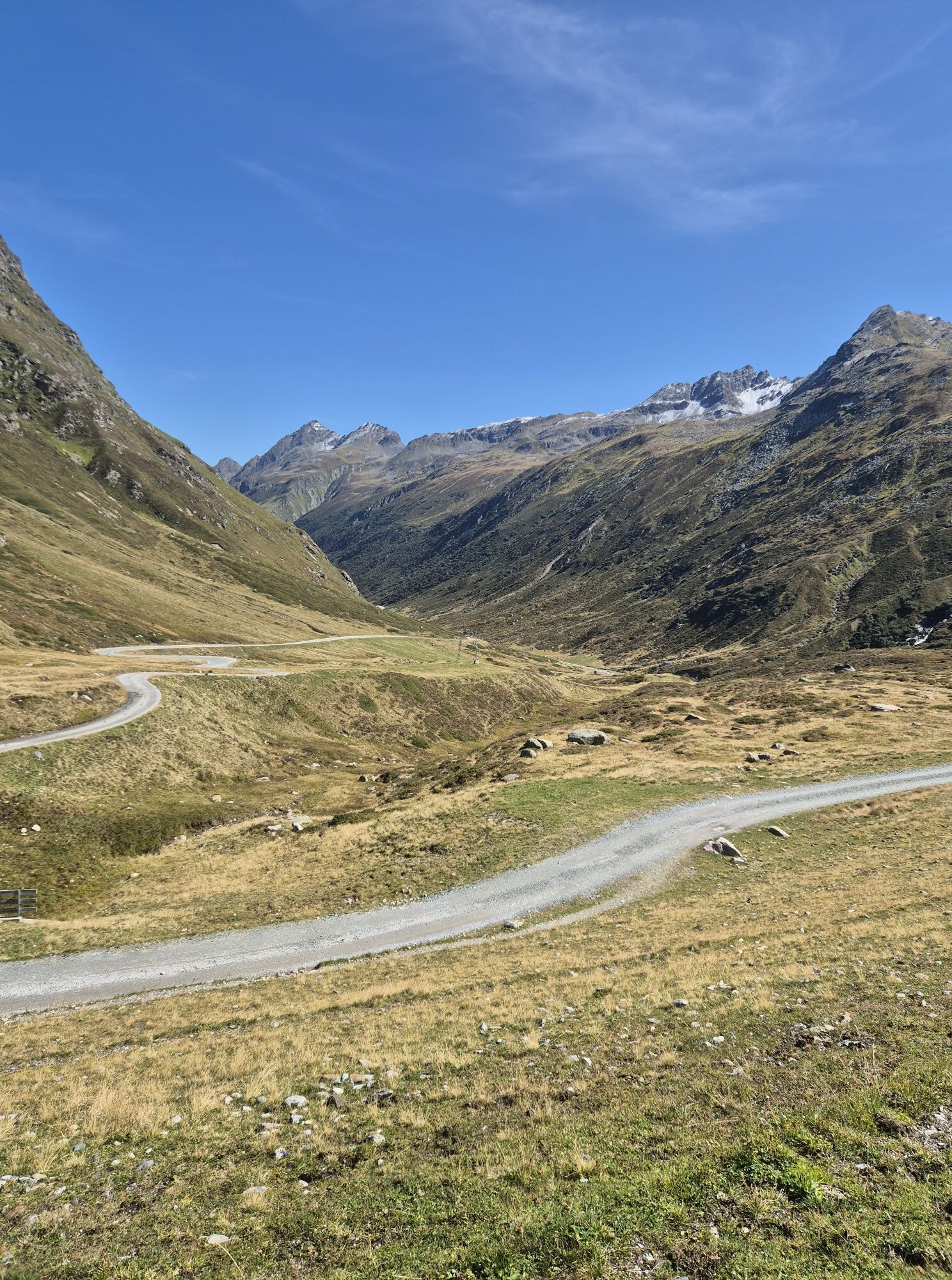


The starting point for this mountain at the end of the Montafon valley is Silvretta-Bielerhöhe (2,032 m). At the chapel, the path leads northeast to the base of the mountain and then steeply uphill to the Maißboden high plateau. At the signpost there, keep right. Via the steep Halberstätterweg, it continues north towards the saddle. A narrow trail with climbing sections of difficulty levels I to II leads between the small and large Vallüla to the summit. Special caution is advised at the gulleys, which often contain old snow. The descent follows the same route.
Ja
Ja
EMERGENCY CALL: 144
European emergency number: 112 (works with any mobile phone/network)
www.vorarlberg.travel/sicherheitstipps
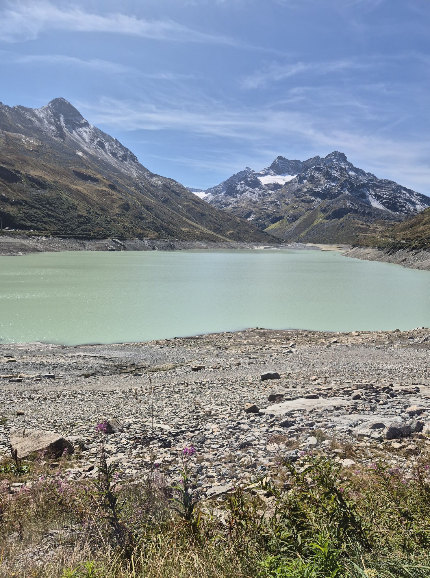
Take the A14 to the Bludenz/Montafon exit and continue on the Montafonerstraße L188 to Partenen at the toll station for the Silvretta High Alpine Road. Via the Silvretta High Alpine Road you will then reach the Vermuntsee and continue to the Silvretta lake. (Toll required)
Just leave your car parked
Regional buses operate throughout Montafon. The main lines run every half hour from Schruns station.
Bus stop at the start/finish of the route: Bielerhöhe Silvrettasee / Line 85
Timetable: www.vmobil.at
Travel by train to Montafon
The Montafon railway runs hourly (partially every half hour) from Bludenz station. There are also direct connections from Lindau (D) and from Bregenz.
Timetable: www.oebb.at
Parking lots are located at the Silvretta lake
We recommend this route only with a state-certified mountain guide - www.montafon.bergfuehrer.at
Populære turer i nabolaget
-
5,0
Großer Piz Buin (3.312m), Normalweg 2019 über Ochsentaler Gletscher
tungHøy tur 24,1 km -
2,8
Bielerhöhe and circular hike around the Silvretta reservoir
middelsVandring 13,1 km -
4,8
Heilbronner lodge
middelsVandring 13,0 km -
4,7
Alpgues circular route
middelsTemaløype 9,36 km -
4,4
Vom Kopssee zur Breitspitze Gemeinde Gaschurn, Vorarlberg/Österreich
middelsVandring 12,5 km -
5,0
Wiegensee-Kopssee
middelsVandring 8,17 km -
4,4
Madrisella summit path
middelsTemaløype 10,8 km -
Rund ums Hohe Rad
tungTemaløype 15,4 km -
1,0
High mountain route to the highest summit of Vorarlberg, the Piz Buin (3,312 m)
tungHøy tur 22,4 km -
5,0
Wiegenseeweg
middelsTemaløype 12,7 km
Vandring og sporing


Ikke gå glipp av tilbud og inspirasjon til din neste ferie
E-postadressen din har blitt lagt til på adresselisten.