


Bilder av brukerne våre
-
 © Stefan TAFERNEROpprettet den 31.08.2025
 -
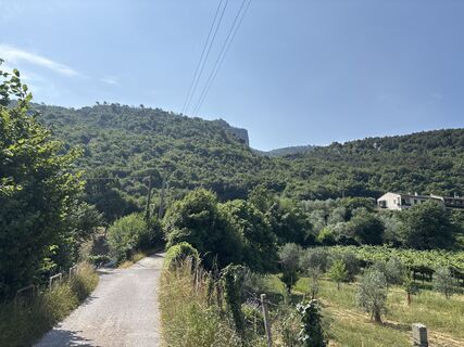
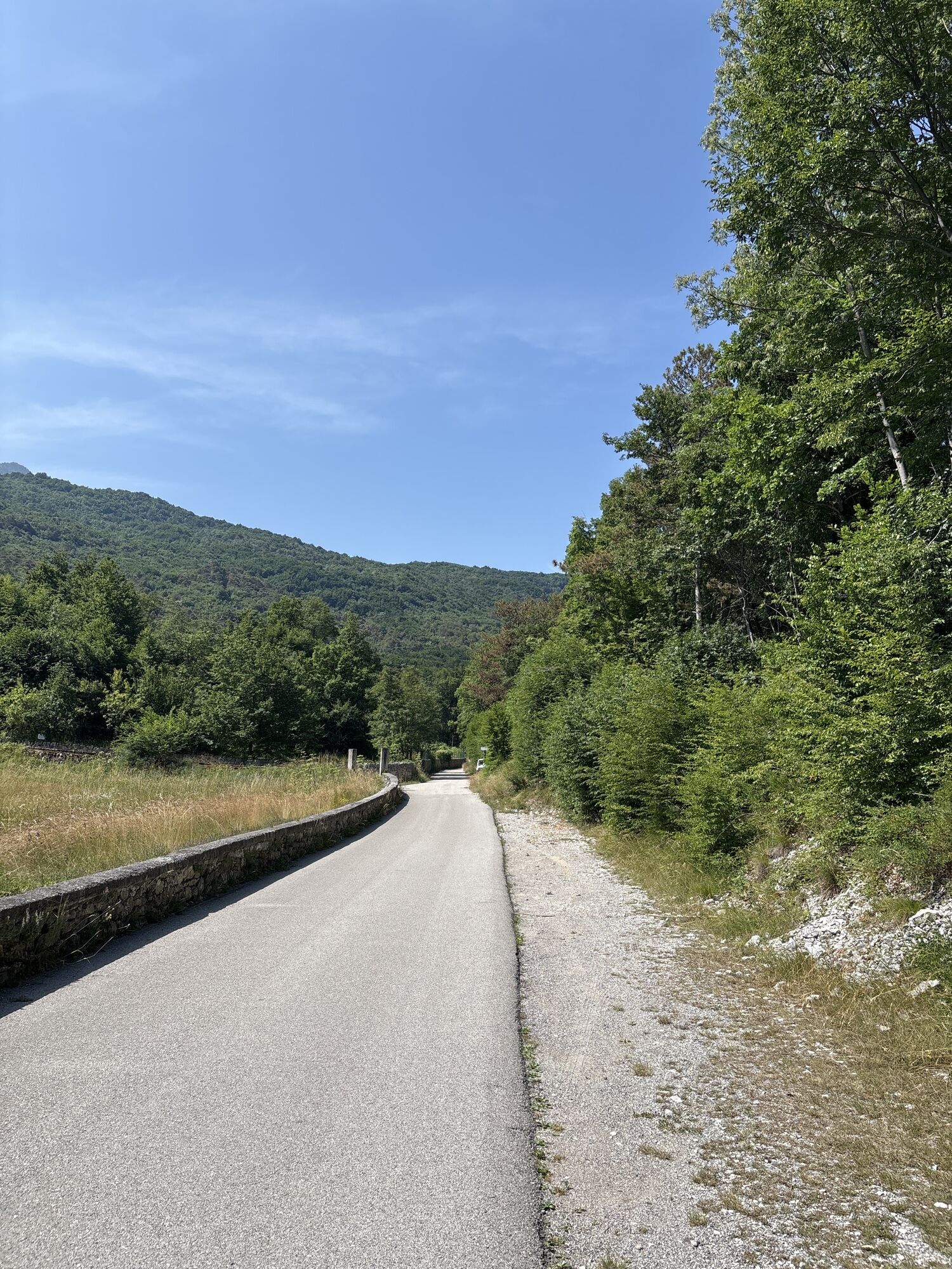
 © Luca NicoliOpprettet den 17.08.2025
 -
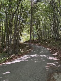
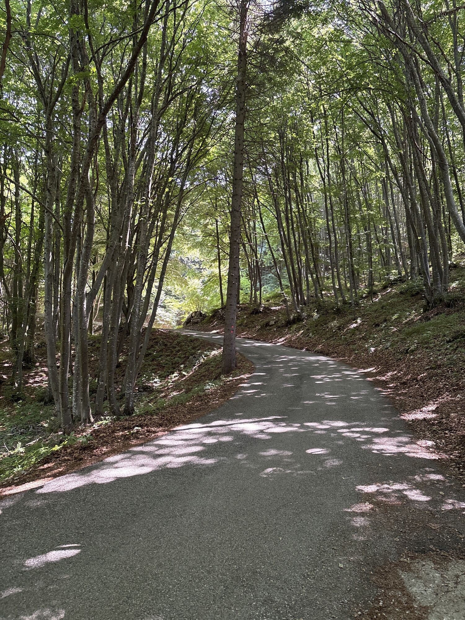
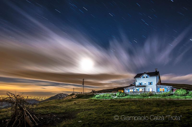
 © Stefan TAFERNEROpprettet den 30.12.2024
 -
 © Raffaella LaghettoOpprettet den 22.10.2024
 -
 © Raffaella LaghettoOpprettet den 22.10.2024
 -

 © Heinz SperlOpprettet den 23.06.2025
 -
 © Heinz SperlOpprettet den 23.06.2025
 -
 © Heinz SperlOpprettet den 23.06.2025
 -
 © Heinz SperlOpprettet den 23.06.2025
 -
 © Heinz SperlOpprettet den 23.06.2025
 -
 © Heinz SperlOpprettet den 23.06.2025
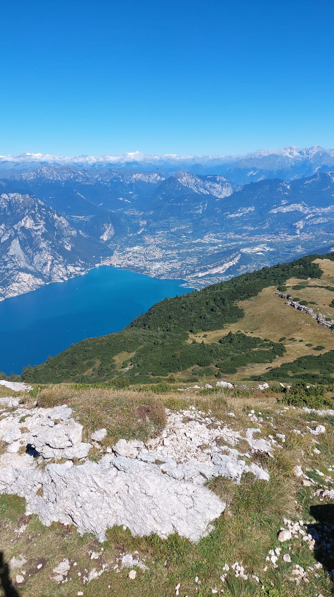


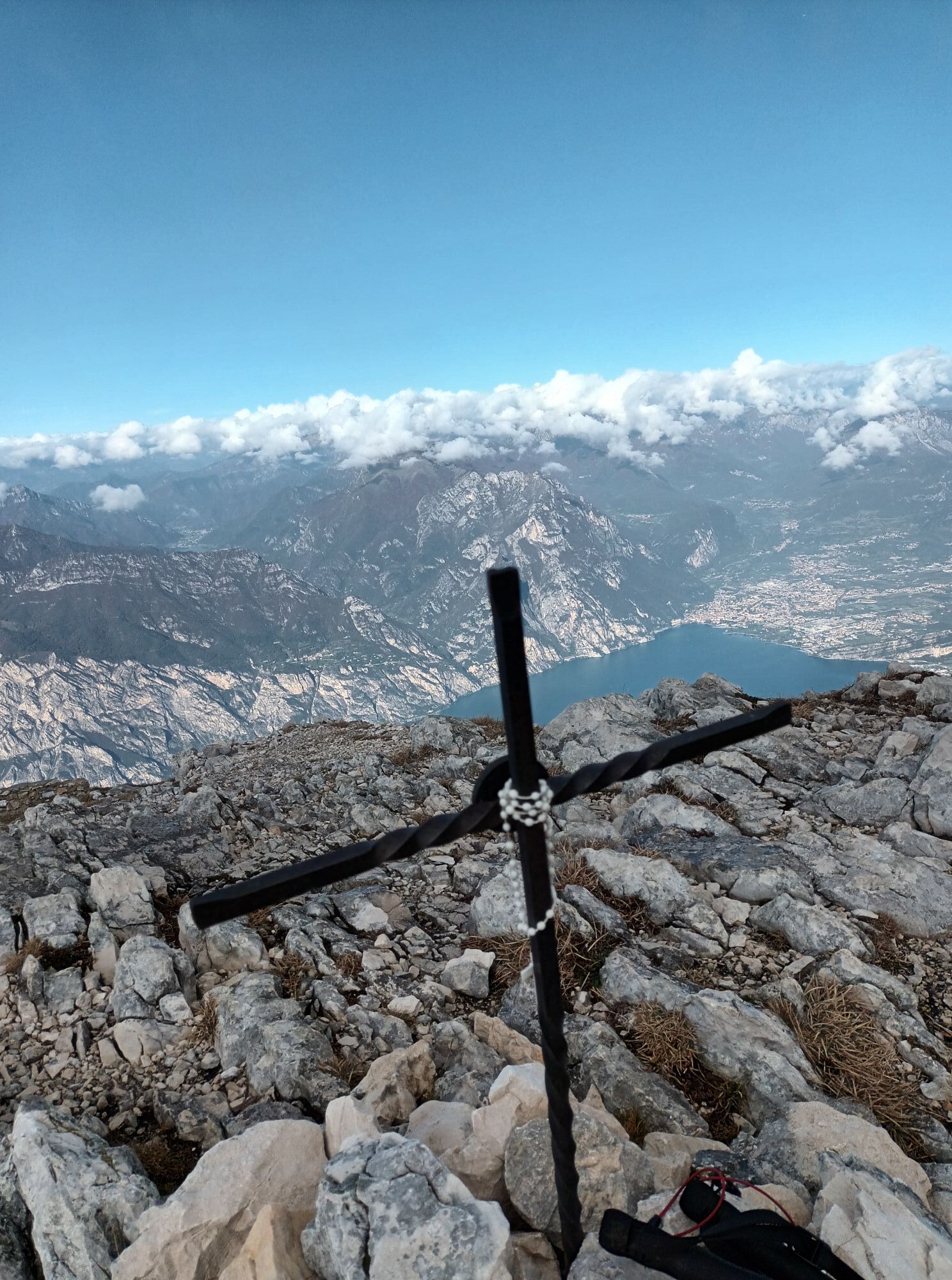

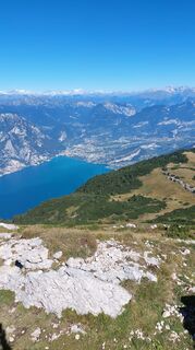
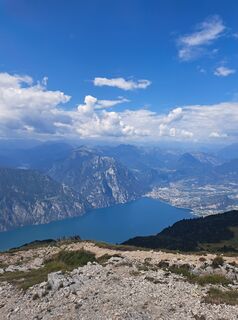
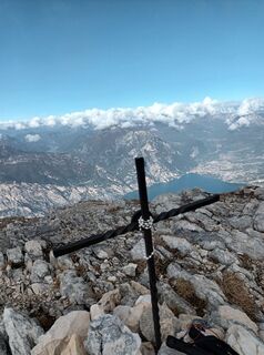
This stage is the final uphill stretch in the Garda Trek circuit. The destination is Monte Altissimo, one of the best loved and most frequented mountains around Lake Garda.
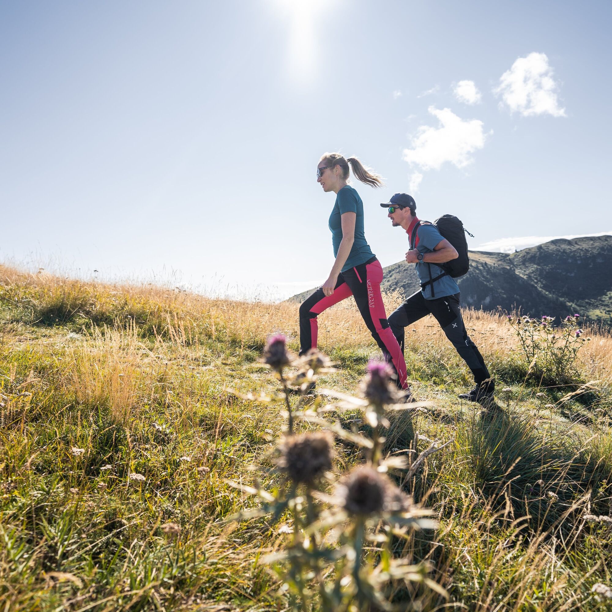
This stage is long and demanding,...
This stage is the final uphill stretch in the Garda Trek circuit. The destination is Monte Altissimo, one of the best loved and most frequented mountains around Lake Garda.
This stage is long and demanding, with more than 1800 elevation gain. There are no stop off fro refreshments along the route, so be sure to take with you enough water and food.
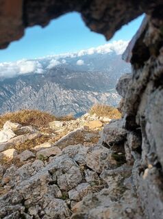
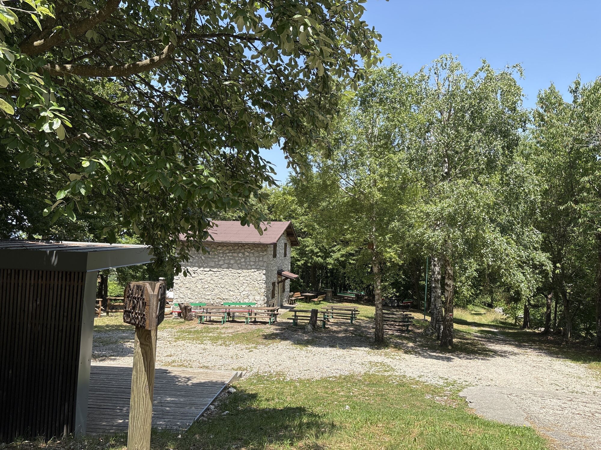
The trail SAT 601, along which much of the trek runs, is part of the Sentiero della Pace (Peace Trail) , a long distance itinerary which links the major points along the Front of the Great War in Trentino. Malga Zures, which we pass along the way, conceals a complex system of 4 kilometres of underground fortifications and was the set of violent fights.
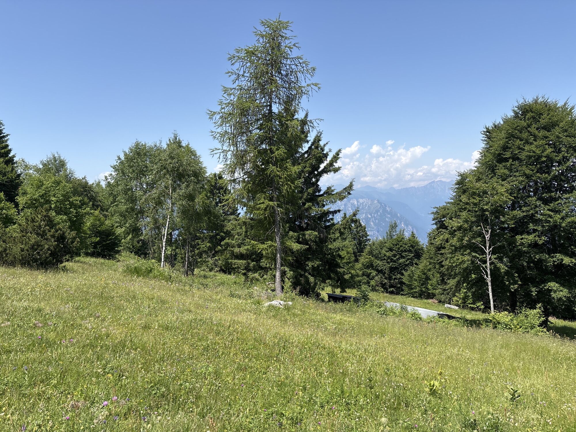
As the trail climbs, it enters the Monte Baldo Local Nature Reserve, a protected area characterised by its exceptional biodiversity. Since the 15th century, Monte Baldo has been famous for its extraordinary variety of plants and flowers and known as the “Garden of Europe”.

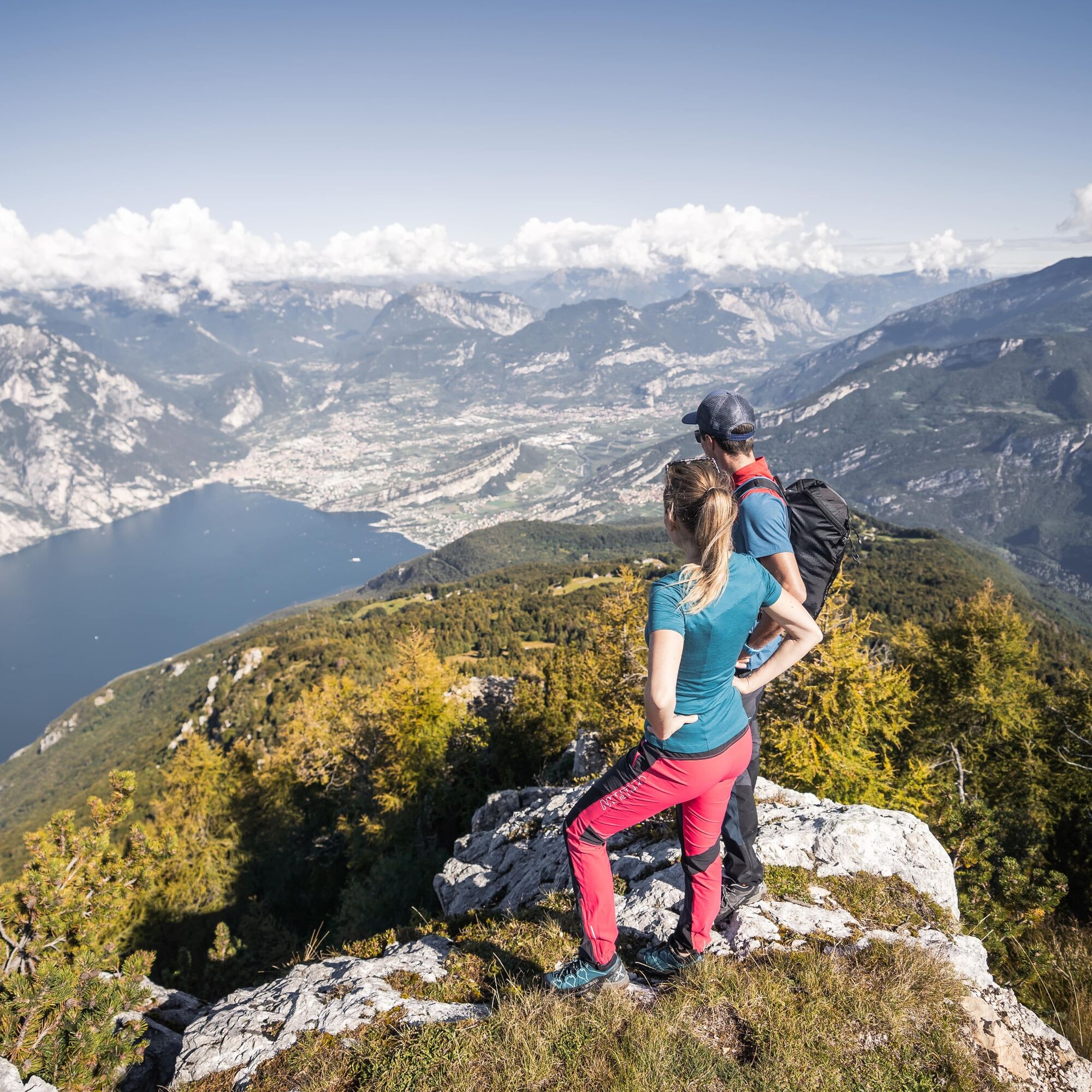

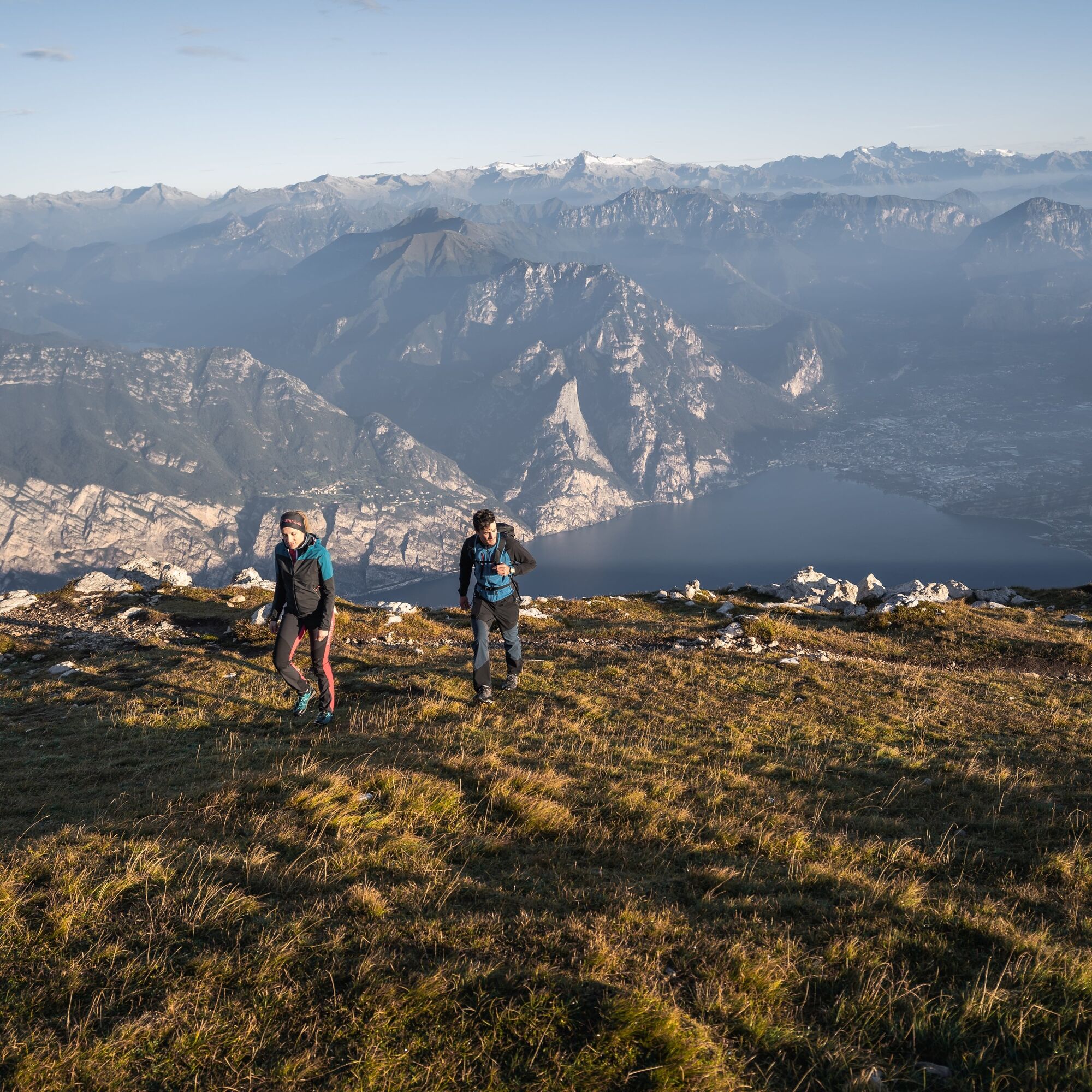
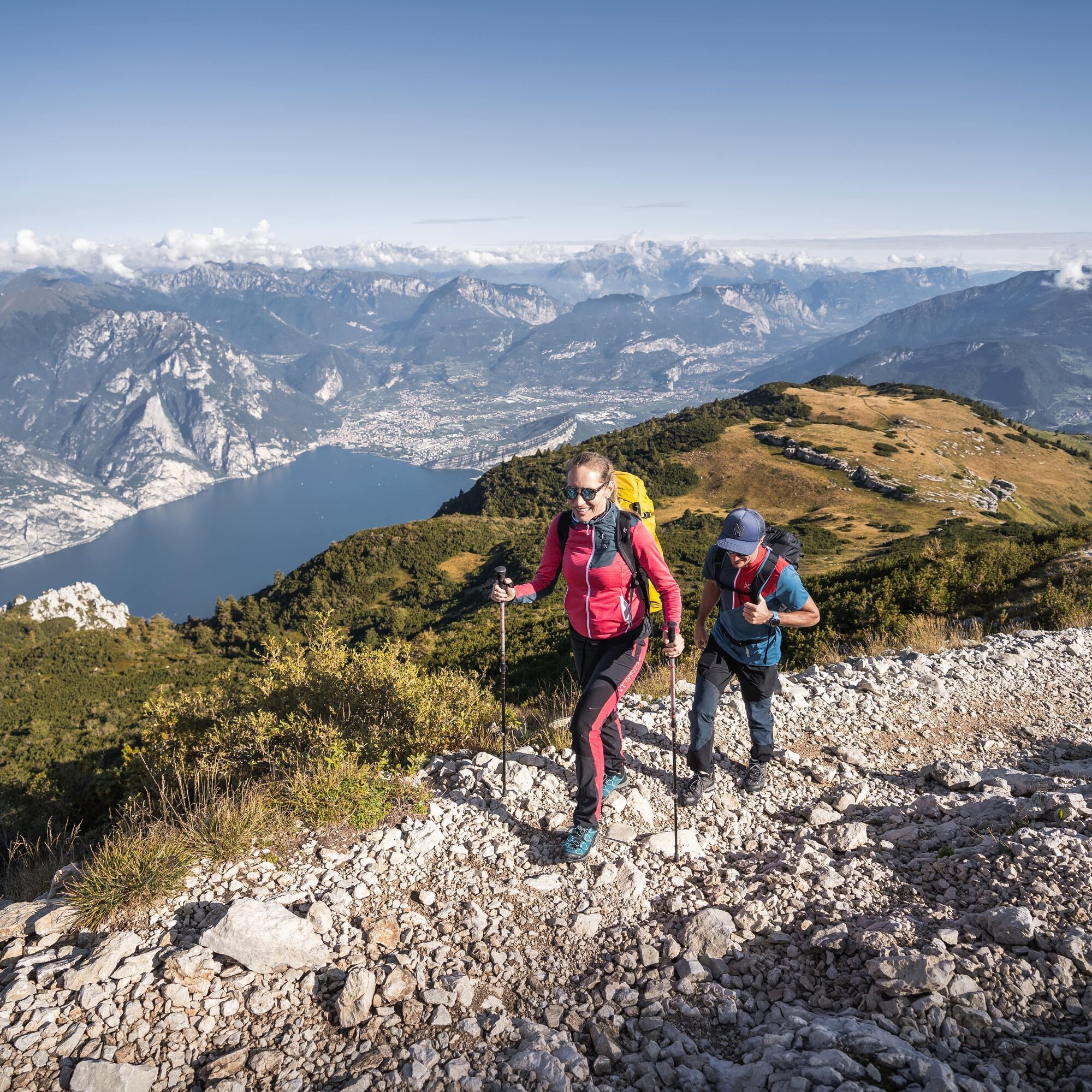
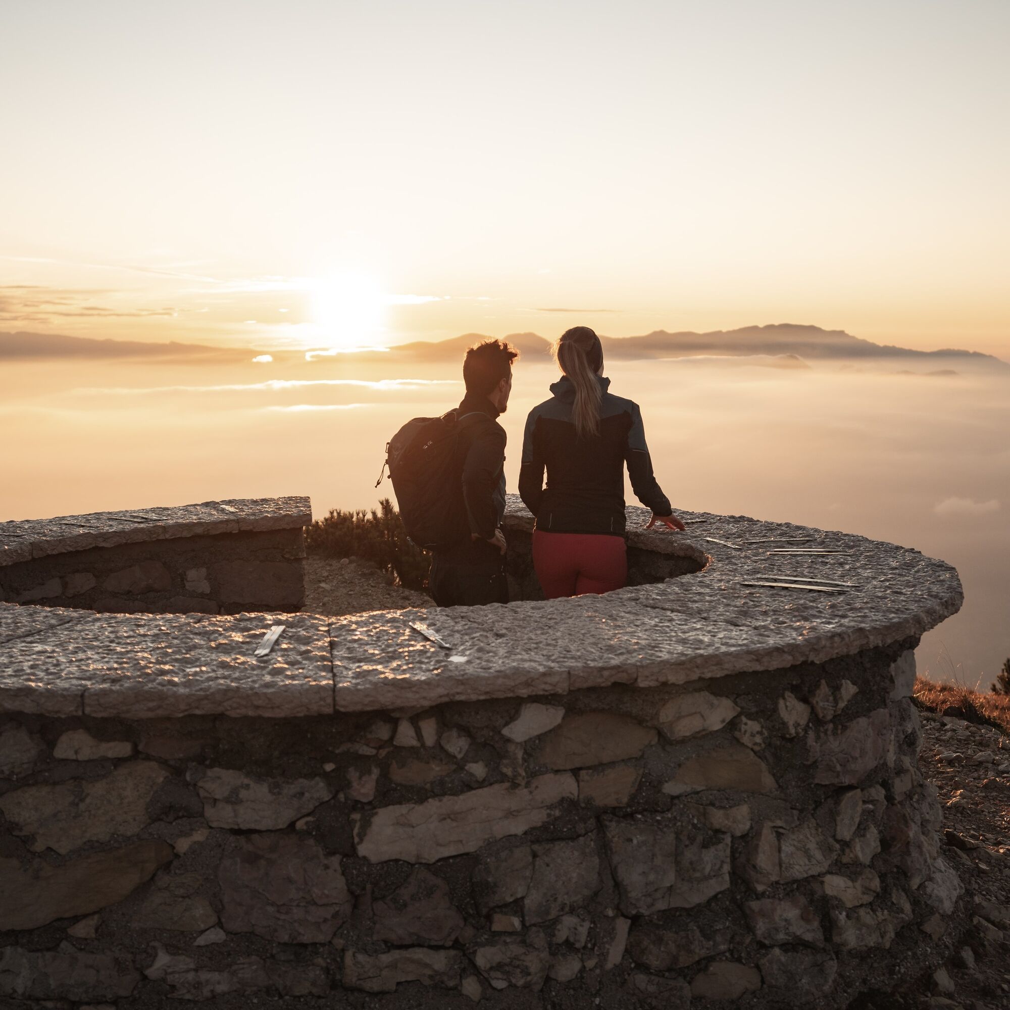
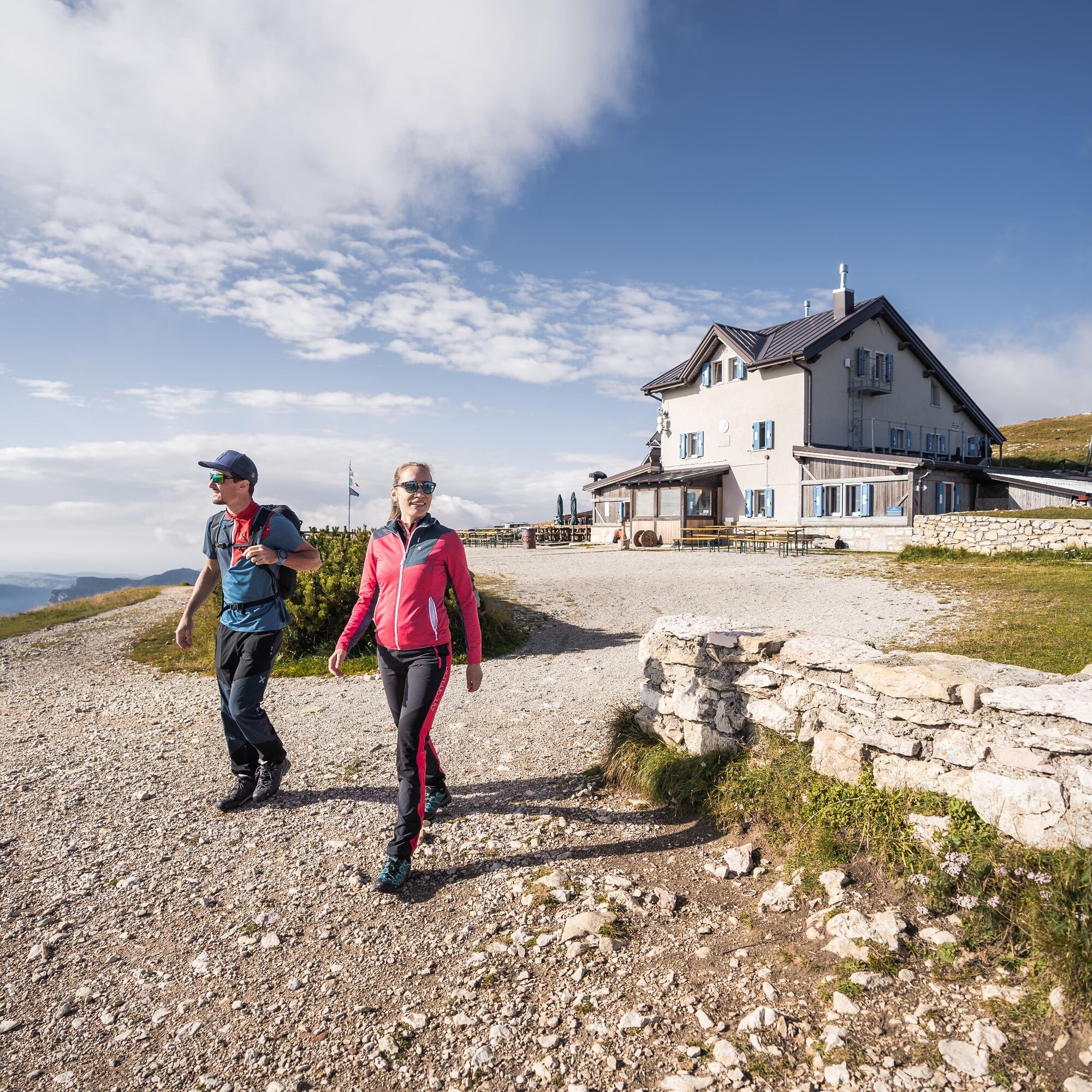
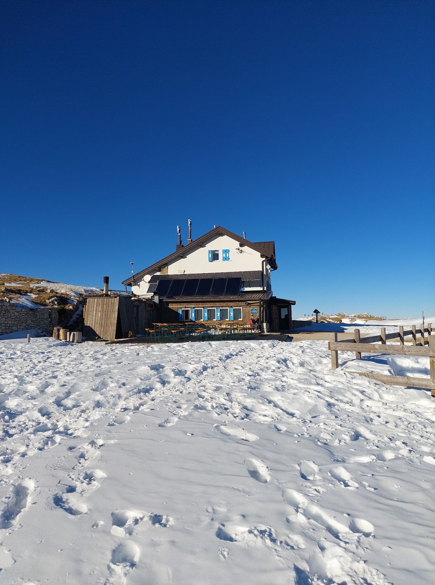
The trek starts at Nago, passing through the town and following directions for Monte Baldo and the trail SAT 601. It climbs uphill until a point where you can take Sat 601 as far as Malga Zures. From here on follow SAT 601 to Monte Varagna. Cross a flat open area and then climb again among the dwarf mountain pines. After a straight stretch head up a slope along a series of bends until you come to the mountain hut Rifugio Altissimo Damiano Chiesa. From the summit behind the hut you have a spectacular view over Garda Trentino and the entire lake.
Ja
You need to wear the right clothing and take the proper gear when you go hiking in the mountains. Even on relatively short easy outings make sure to take all you need so you don't run into trouble if things take an unexpected turn, for example a storm blows up or you have a sudden drop in energy levels.
What should you take when you go on a hike?
Your rucksack (for a day trip a 25/30L capacity should do) should contain:
water canteen (1L) snacks (e.g. mixed dried fruit or chocolate) First aid kit windproof jacket fleece change of t-shirt and socks (in a plastic bag) make sure to wear or at least bring a pair of long trousers hat sun screen sunglasses gloves whistle to attract attention in an emergency
Make sure you're wearing the right footwear for the trail and season. The going can get rough and rocky underfoot and a pair of hiking boots will protect you from sprains. When wet, a grassy slope, rocky slab or steep trail can be dangerous unless you are wearing the proper footwear.
And finally... don't forget to bring your camera! You'll need it to capture the stunning views you come across all over Garda Trentino. And if you like, you can share your memories with us at #GardaTrentino.
Emergency telephone number 112.
Safety Tips
Choose itineraries that suit your physical and technical abilities. Collect information about the area you are visiting and the trail’s conditions and get a detailed trekking map. Wear clothes and take equipment that suit the difficulty and length of your tour. Keep emergency gear in your rucksack, including first aid supplies. Do not go walking alone in the mountains. In any case, tell someone where you are going and report back on returning. Look at the weather forecast before setting off and always keep an eye on the weather. In case of doubt, go back. It is better to give up than risk bad weather or face difficulties beyond your strength, ability and equipment. Do not leave marked paths and do not take shortcuts. All described walks are in a natural environment and therefore their use is at your own risk.
This information is subject to inevitable variations, so none of these indications are absolute. It is not entirely possible to avoid giving inexact or imprecise information, given how quickly environmental and weather conditions can change. For this reason, we decline any responsibility for changes which the user may encounter. In any case, it is advisable to check environment and weather conditions before setting out.
A22 motorway, exit: Rovereto Sud - Lake Garda. Then SS240 until you reach Nago.
Find out how to reach Garda Trentino.
The main towns in Garda Trentino - Riva del Garda, Arco, Torbole sul Garda, Nago – are connected by several urban and intercity bus lines which will take you to the starting point of tours or in the immediate surroundings.
You can also get to Riva del Garda and Torbole sul Garda by the public ferry service.
Parking Al Coel in Nago, with access from the roundabout.
You’ve picked the perfect trail – now make sure you’re ready to enjoy it to the fullest. Local hiking specialists are here to help: guides, shops and experts with the tips and support you need for every step of the way.
it is said that from the top of Monte Altissimo, in clear days, you can spot even the Venetian lagoon!
Populære turer i nabolaget
-
4,8
Bocca Fortini - Tour
tungTerrengsykkel 35,4 km -
4,8
Via Ferrata Rio Sallagoni
middelsVia ferrata 2,75 km -
4,2
Tremalzo Big - Tour
tungTerrengsykkel 45,6 km -
4,6
Walking around Lake Ledro
lysVandring 9,40 km -
4,7
Via Ferrata Fausto Susatti - Cima Capi (from Ledro)
middelsVia ferrata 7,11 km -
4,7
Tremalzo Garda XXL - Tour
tungTerrengsykkel 66,6 km -
4,7
Via Ferrata delle Laste e Gallerie di Cima Rocca
lysVia ferrata 6,38 km -
5,0
Via Ferrata Signora delle Acque - Rio Ruzza
tungVia ferrata 5,32 km -
4,7
Sentiero Busatte Tempesta
lysVandring 7,90 km -
5,0
Bastione and Santa Barbara, the lords of Riva del Garda
middelsVandring 2,94 km

Vandring og sporing


Ikke gå glipp av tilbud og inspirasjon til din neste ferie
E-postadressen din har blitt lagt til på adresselisten.