


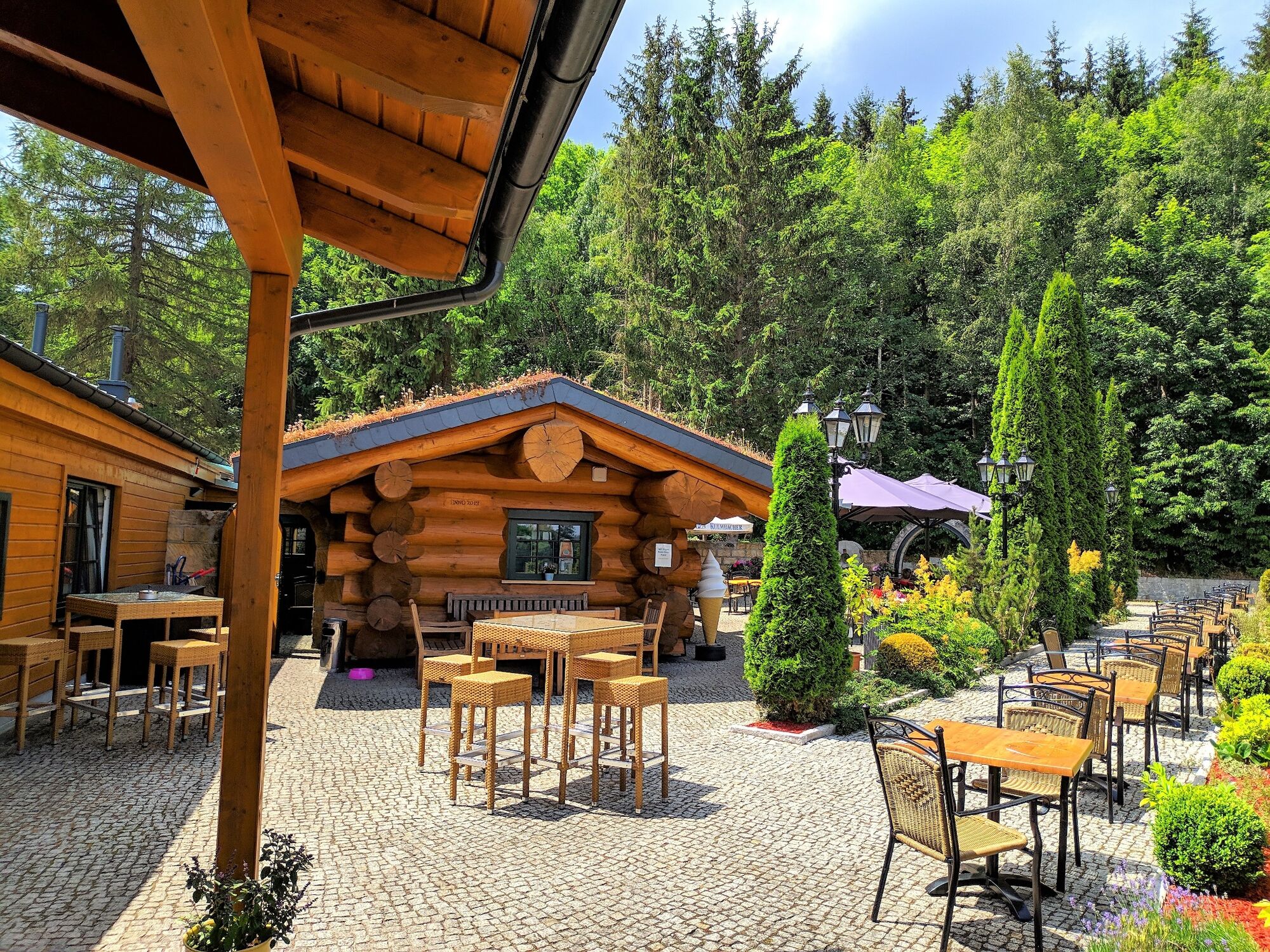
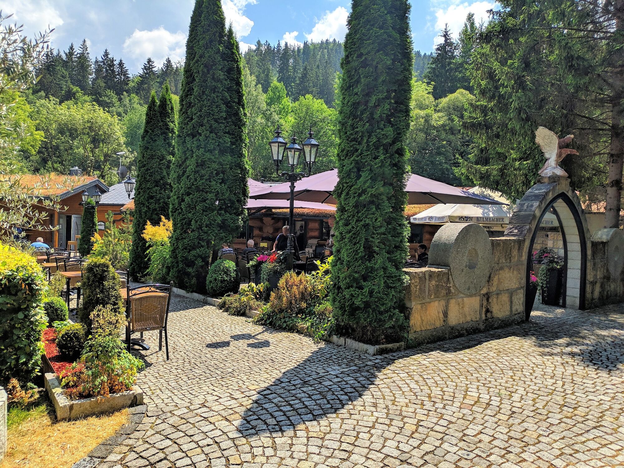
Our path begins below the hospital and leads through the residential area of Stollen, past numerous gardens into the Schortetal valley. The restaurant "Schortemühle" is the first port of call for good...
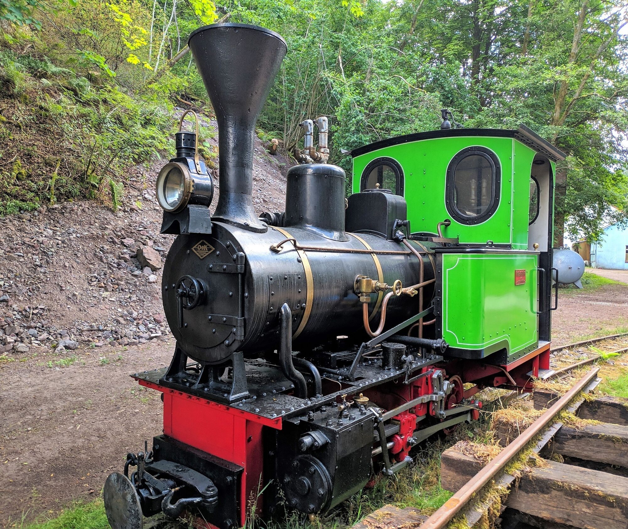
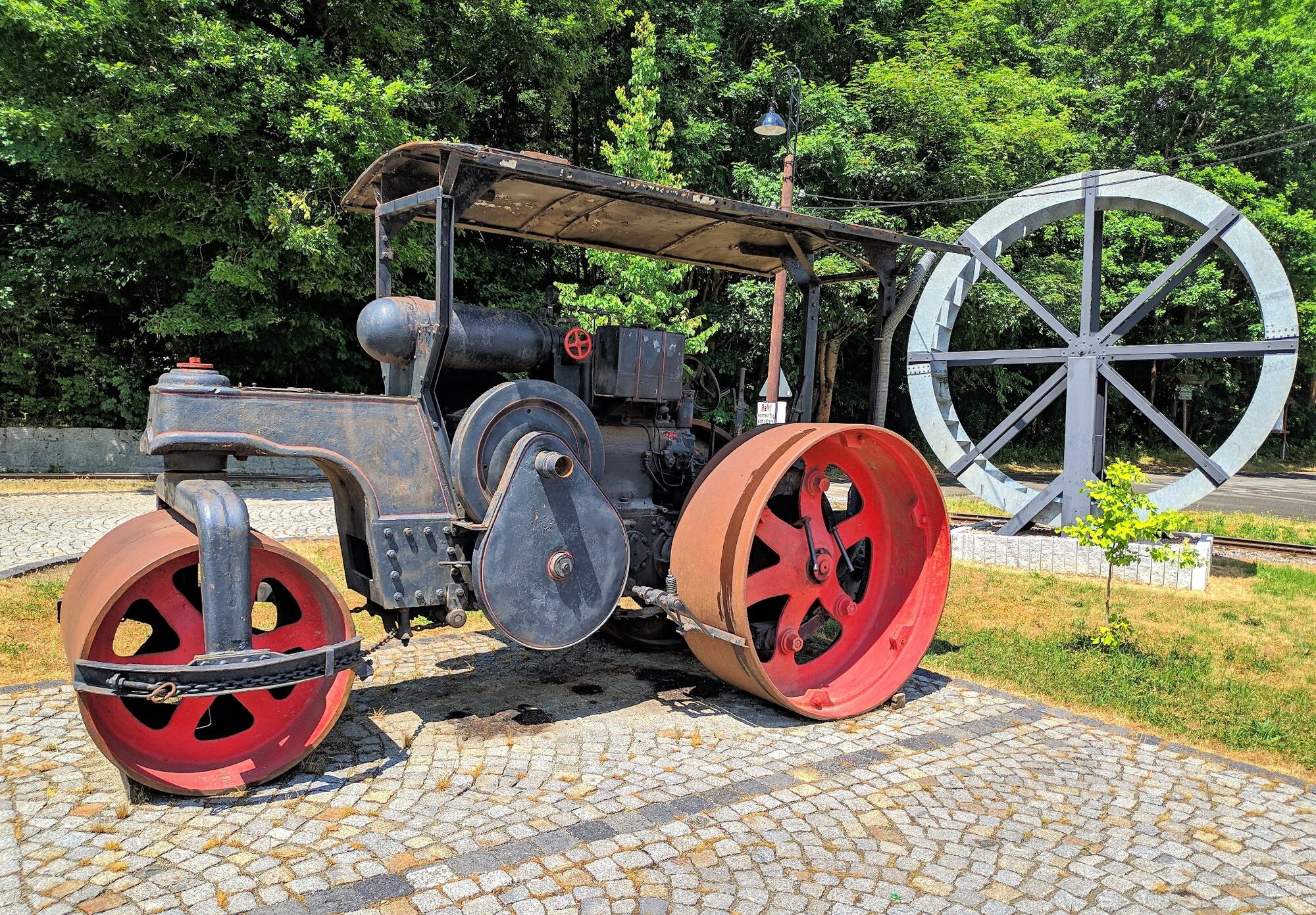
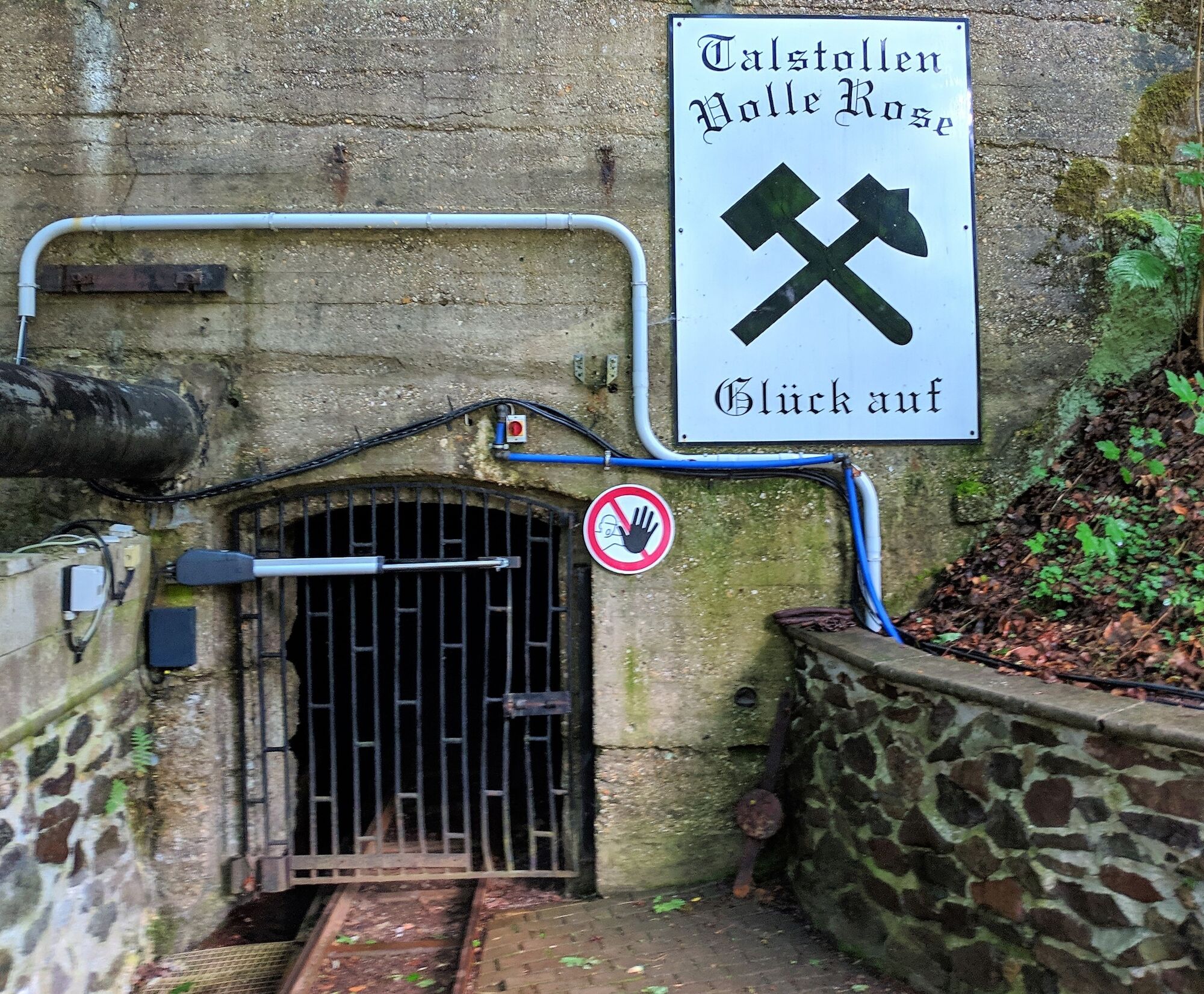
Our path begins below the hospital and leads through the residential area of Stollen, past numerous gardens into the Schortetal valley. The restaurant "Schortemühle" is the first port of call for good gastronomic variety. You can also visit the "Volle Rose" exhibition mine, where you can experience mining in the past century. Machines and equipment from earlier times are on display.
A 600 mm gauge trolley railway is used for tourist purposes on a 3.5 km circuit. The entrance to the tunnel is the highlight.
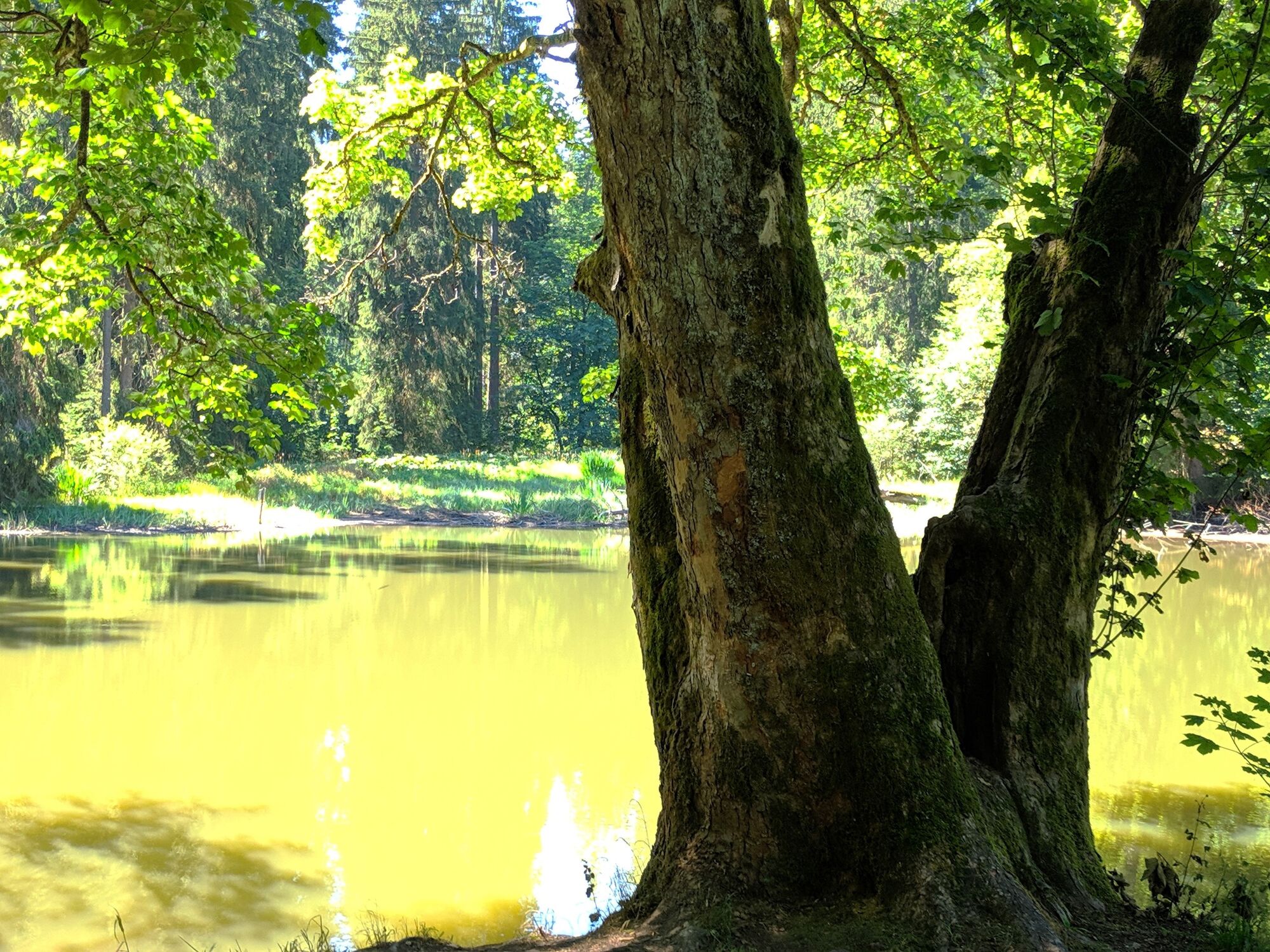
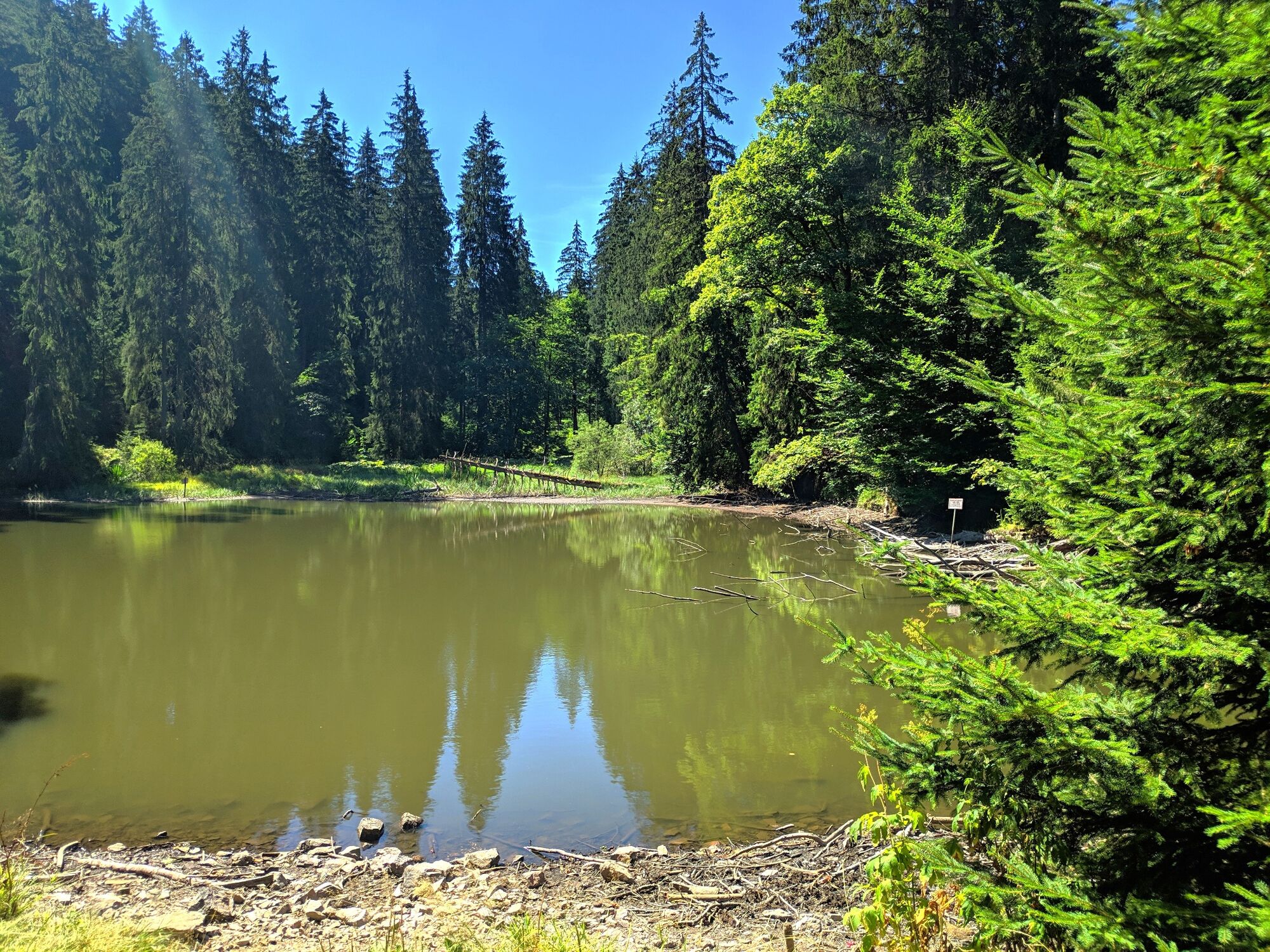
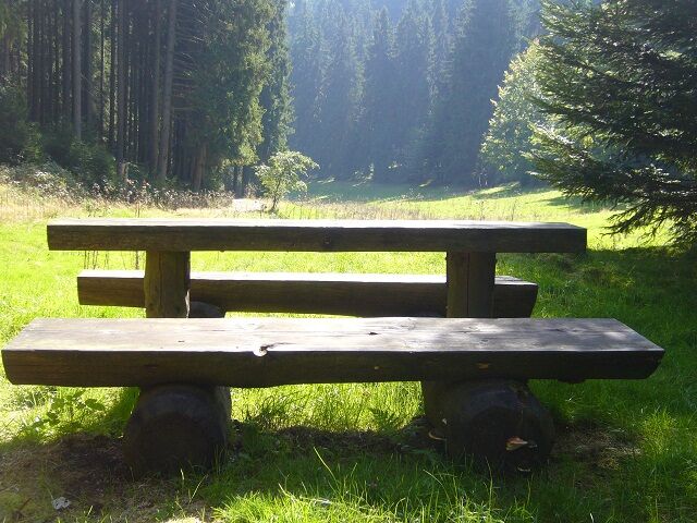
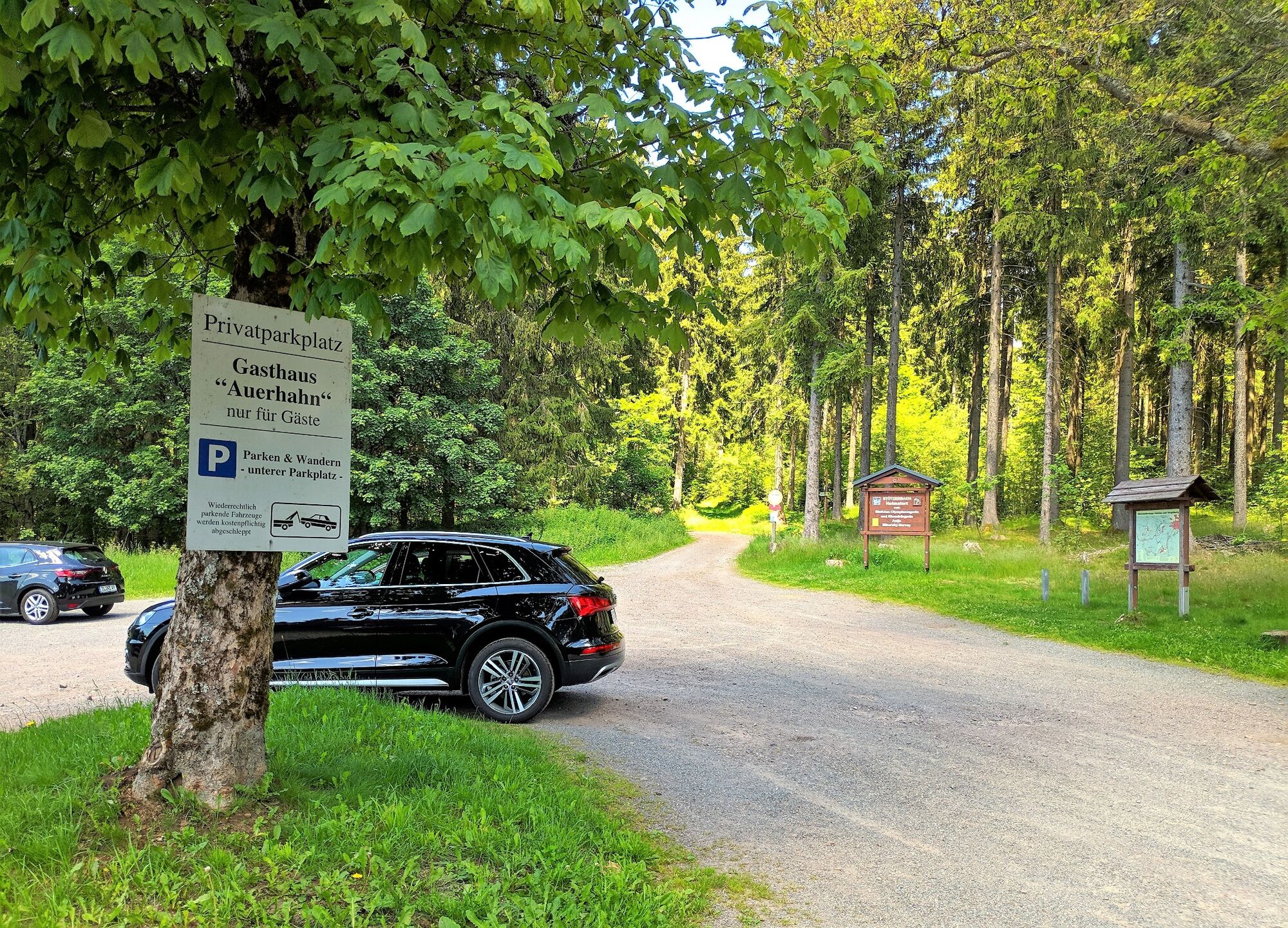
On our hiking trail we go up the Schortetal, parallel to the Schorte, an 8 km long tributary of the Ilm, to the Kn pfelstaler Teich. This was created in the 17th century as a reservoir for the flow of wood. Further on, via the "Ochsenwiese", we reach our destination, the "Auerhahn" forest inn.

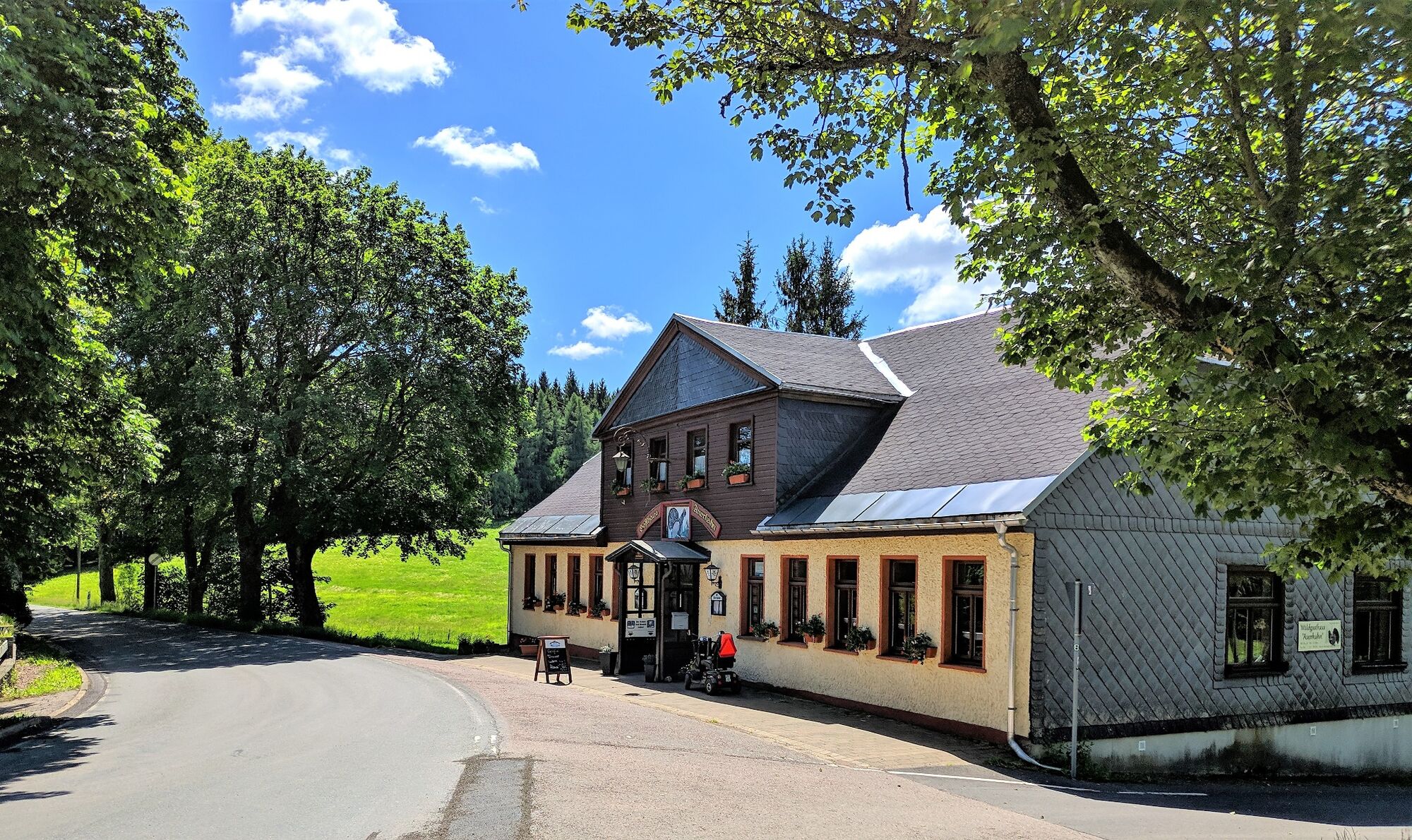
below hospital - PP Stollen - Gutenbergstra;e - Forsthaus - Gartenanlage - Hüttenholz - slightly off to the left of the path Restaurant "Zur Schortemühle" with show mine "Volle Rose" - Voglers Schneidemühle - Knöpfelstaler Teich - Ochsenwiese - Waldgasthaus "Auerhahn".
Ja
Ja
Ja
Sturdy shoes
Rainwear
First aid kit
GPS navigator/smartphone
Gethrift
Possibly trekking pole
In the city area and up to the restaurant "Schortemühle" please pay attention to road traffic!
Coming from the A71, take exit 16 (Ilmenau-West) and continue on the L3004 towards Ilmenau.
You can reach Ilmenau with the trains of the Deutsche Bahn and Erfurt Bahn. On weekends and public holidays, the Rennsteig Shuttle runs from there to Rennsteig station via Manebach and Stzerbach.
For detailed travel information, please use the travel portal of Deutsche Bahn.
.
Use the car park Öhrenstocker Stra;e (Google NAV point)
Ilmenau-Information
Am Markt 1
98693 Ilmenau
Tel.: +49 3677 600-300
E-mail: stadtinfo@ilmenau.de
Webkameraer fra turen
Populære turer i nabolaget
-
4,3
Rundwanderweg - Rund um die Talsperre Heyda - Thüringer Wald
middelsVandring 7,59 km -
3,0
Rundwanderung - "4-Teiche-Wanderung" Neustadt am Rennsteig - Thüringer Wald
middelsVandring 12,6 km -
Long distance hiking trail - Rennsteig - From Hörschel to Blankenstein - Thuringian Forest
tunglangdistanse tursti 169,0 km -
5,0
Hiking - Summit Hiking Trail - Suhl-Goldlauter - Thuringian Forest
tungVandring 32,1 km -
Rundwanderung - Um die Talsperre Schönbrunn - Thüringer Wald
middelsVandring 15,6 km -
4,5
Wanderung über den Rennsteig & den Schneekopf zur Schmücke
tungVandring 20,9 km -
5,0
Circular hiking trail - Lütsche raft ditch - Frankenhain - Thuringian Forest
middelsVandring 13,8 km -
Rundwanderung zum Bärenstein & Pfanntalsteich
middelsVandring 9,10 km -
4,5
Hiking - Rennsteig - Stage 4 - From Grenzadler to Allzunah
tungVandring 20,2 km -
Rundwanderweg - "Zum Ausgebrannten Stein" - Oberhof - Thüringer Wald
lysVandring 11,2 km
Vandring og sporing


Ikke gå glipp av tilbud og inspirasjon til din neste ferie
E-postadressen din har blitt lagt til på adresselisten.