


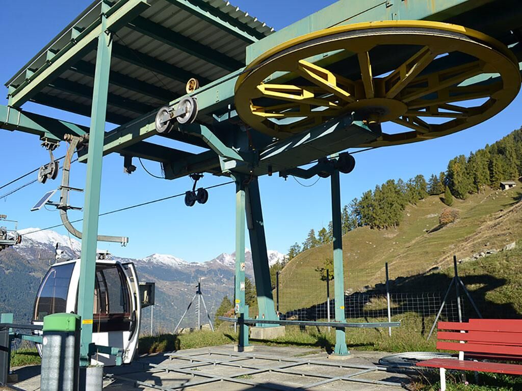
After zigzagging our way from the road to Cascina di Dagro, we too can play hide and seek by plunging into a dense forest that, in little more than an hour, will take us to the high pastures of Prou, at...
After zigzagging our way from the road to Cascina di Dagro, we too can play hide and seek by plunging into a dense forest that, in little more than an hour, will take us to the high pastures of Prou, at 2000 metres above sea level, where the old alpine pasture now used as a refuge.
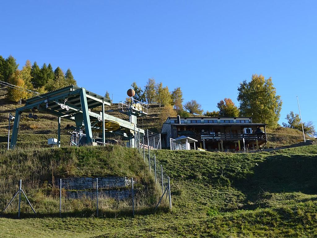
With ease, we continue along the more or less level path, which in three quarters of an hour allows us, maintaining the same altitude, to reach the pleasant Alpe di Cióu alpine pasture, which includes a couple of truly suggestive masonry buildings.
Behind the huts rises the steep southern flank of the Cima di Piancabella, an impervious slope called Madéi. The place name reveals that wild hay was also mown here. From Ciòu, you can return to Dagro on the path that descends towards the forest, which, in the shade of conifers, passes along the Ör della Strega, the 'Witch's Ridge', until you return to Cascina di Dagro and Dagro.
Ja
Hiking boots
Sun cap
Water-bottle
Sunglasses
Sun cream
Hiking map
Camera
Food
Montagnepulite: This project was born to promote an effective management and sustainable use of mountain huts in Ticino, and in particular the litter management. The responsible management of litter in the mountains is a matter of common sense. We can all contribute: www.montagnepulite.ch
Populære turer i nabolaget
-
Cima del Simano (2580 m)
Vandring 9 km -
5,0
Cusié > Capanna Quarei > Laghetto dei Cadabi > Alpe di poxxo > Cusié
middelsVandring 13,0 km -
Capanna Quarnei
lysVandring 10,8 km -
5,0
Cancorì Bike (SvizzerMobile 383)
tungTerrengsykkel 23,8 km -
La Strada Alta della Leventina
langdistanse tursti 48,1 km -
Giro del Castello di Serravalle (SwitzerlandMobility 626)
Vandring 6,17 km -
Giro delle Tre Valli (SwitzerlandMobile 625)
middelsVandring 12,1 km -
Snowshoe route Piera-Dötra
tungSnesko 5,92 km -
Blenio Valley e-bike route
middelsSykling 67,9 km -
The Romanesque church of San Carlo in Negrentino
lysVandring 1,93 km

Vandring og sporing


Ikke gå glipp av tilbud og inspirasjon til din neste ferie
E-postadressen din har blitt lagt til på adresselisten.