Vanskelighetsgrad: T3
Bilder av brukerne våre
The Felbertal leads south to the Felber Tauern, which at 2,481 m is the lowest of the passes over the central and western High Tauern. Earlier, the passes over the mountains were called "Tauern," and later...
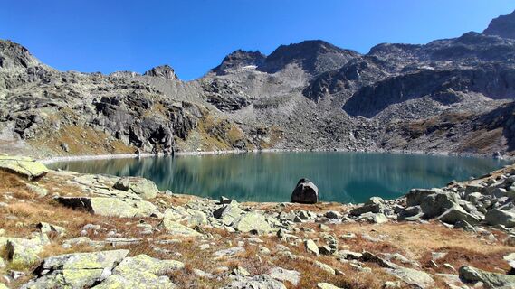
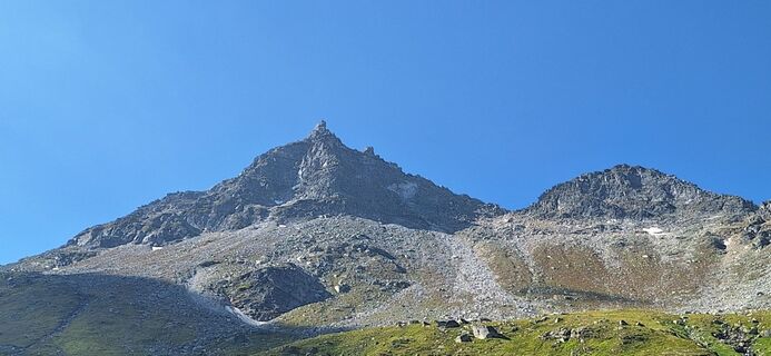
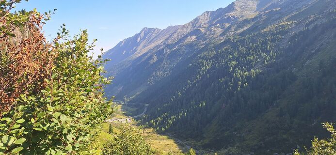
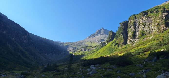
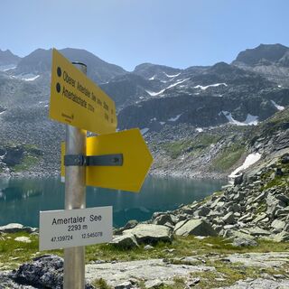
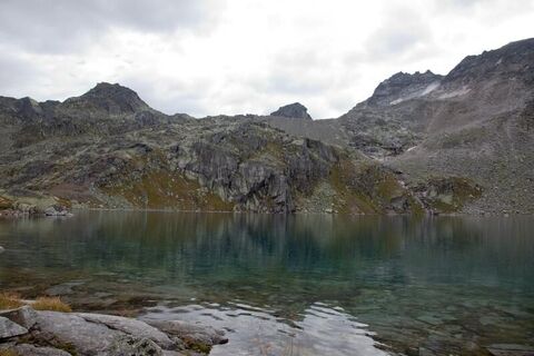
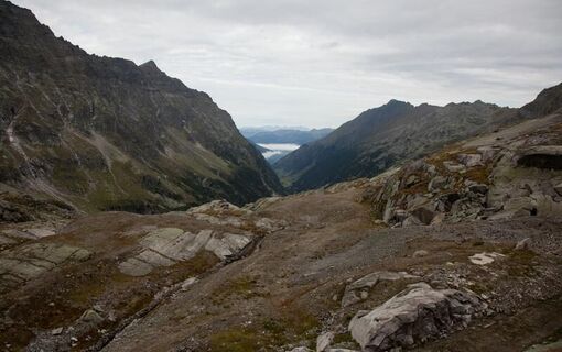
The Felbertal leads south to the Felber Tauern, which at 2,481 m is the lowest of the passes over the central and western High Tauern. Earlier, the passes over the mountains were called "Tauern," and later this name applied to the entire mountain range. The low elevation and continuation via the Pass Thurn in the north and the Tauerntal to the south once made the Felber Tauern an important Alpine main ridge crossing. The Amertal, which branches off from the Felbertal and was once called "Ödtal" (Amertaler Öd) due to its remoteness, is today accessible via the Felbertauern road for modern traffic. It ends in a beautiful trough-shaped valley head sculpted by the ice age glacier; above it lies the semicircle of the cirque around the Amersee (Amertaler See).

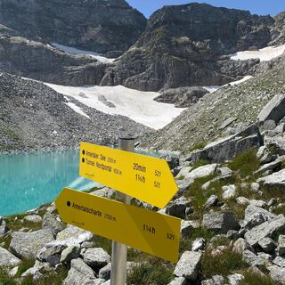
Hike from the Felbertal portal along route no. 521 to the Amertaler See
Ja
Ja
Ankle-high hiking boots, weatherproof clothing, sufficient drinking water, snacks, and hiking map are required.
A basic level of surefootedness and surety with heights is required.
From Mittersill, take the Felbertauern road towards Matrei. Before entering the toll tunnel, park your car on the left side.
The Mittersill-Hollersbach-Stuhlfelden region is very well accessible by the Pinzgau local railway and ÖBB buses.
There are sufficient parking spaces next to the rest area.
T3
Mittersill Plus GmbH, Zeller Straße 2, 5730 Mittersill, Tel. +43(0) 6562 4292
welcome@mittersill.info, www.mittersill.info
If that's not enough, you can continue hiking to the Karsee at 2,419 m (approx. 30 minutes).
Populære turer i nabolaget
Ikke gå glipp av tilbud og inspirasjon til din neste ferie
E-postadressen din har blitt lagt til på adresselisten.


