


Bilder av brukerne våre
-

 © JordyOpprettet den 15.08.2025
 -
 © JordyOpprettet den 15.08.2025
 -
 © Zoran DujakovicOpprettet den 07.09.2024
 -
 © Zoran DujakovicOpprettet den 07.09.2024
 -
 © Zoran DujakovicOpprettet den 07.09.2024
 -
 © Zoran DujakovicOpprettet den 07.09.2024
 -
 © Zoran DujakovicOpprettet den 07.09.2024
 -
 © Zoran DujakovicOpprettet den 07.09.2024
 -
 © Zoran DujakovicOpprettet den 07.09.2024
 -
 © Zoran DujakovicOpprettet den 07.09.2024
 -
 © Zoran DujakovicOpprettet den 07.09.2024
 -
 © Dominique piermayOpprettet den 23.08.2024
 -
 © Dominique piermayOpprettet den 23.08.2024
 -
 © Karin WinterOpprettet den 12.05.2024
 -
 © Karin WinterOpprettet den 12.05.2024
 -
 © Veronika KöppenOpprettet den 24.09.2022
 -
 © Josef KastOpprettet den 25.08.2022
 -
 © Josef KastOpprettet den 25.08.2022
 -
 © Josef KastOpprettet den 25.08.2022
 -
 © Josef KastOpprettet den 25.08.2022
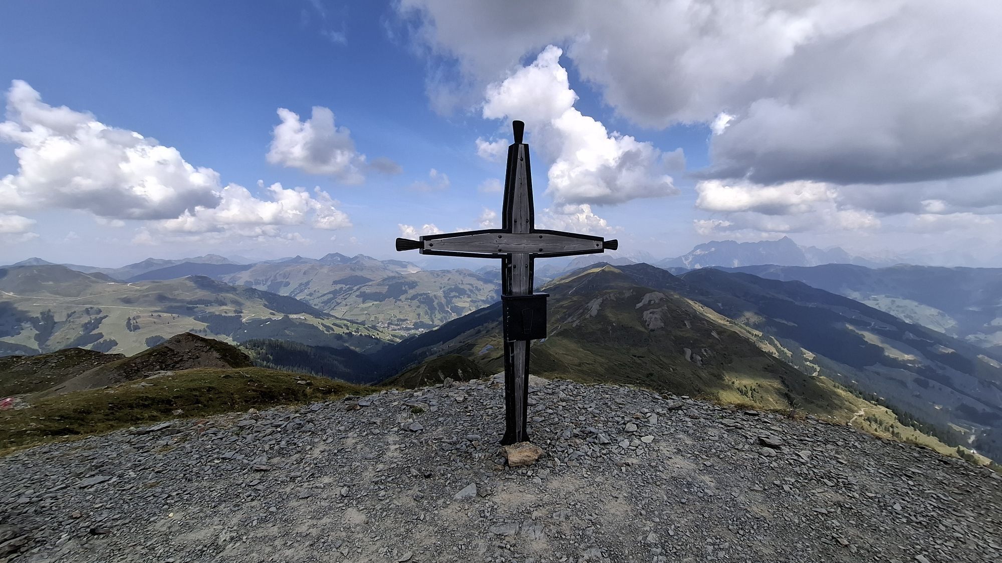

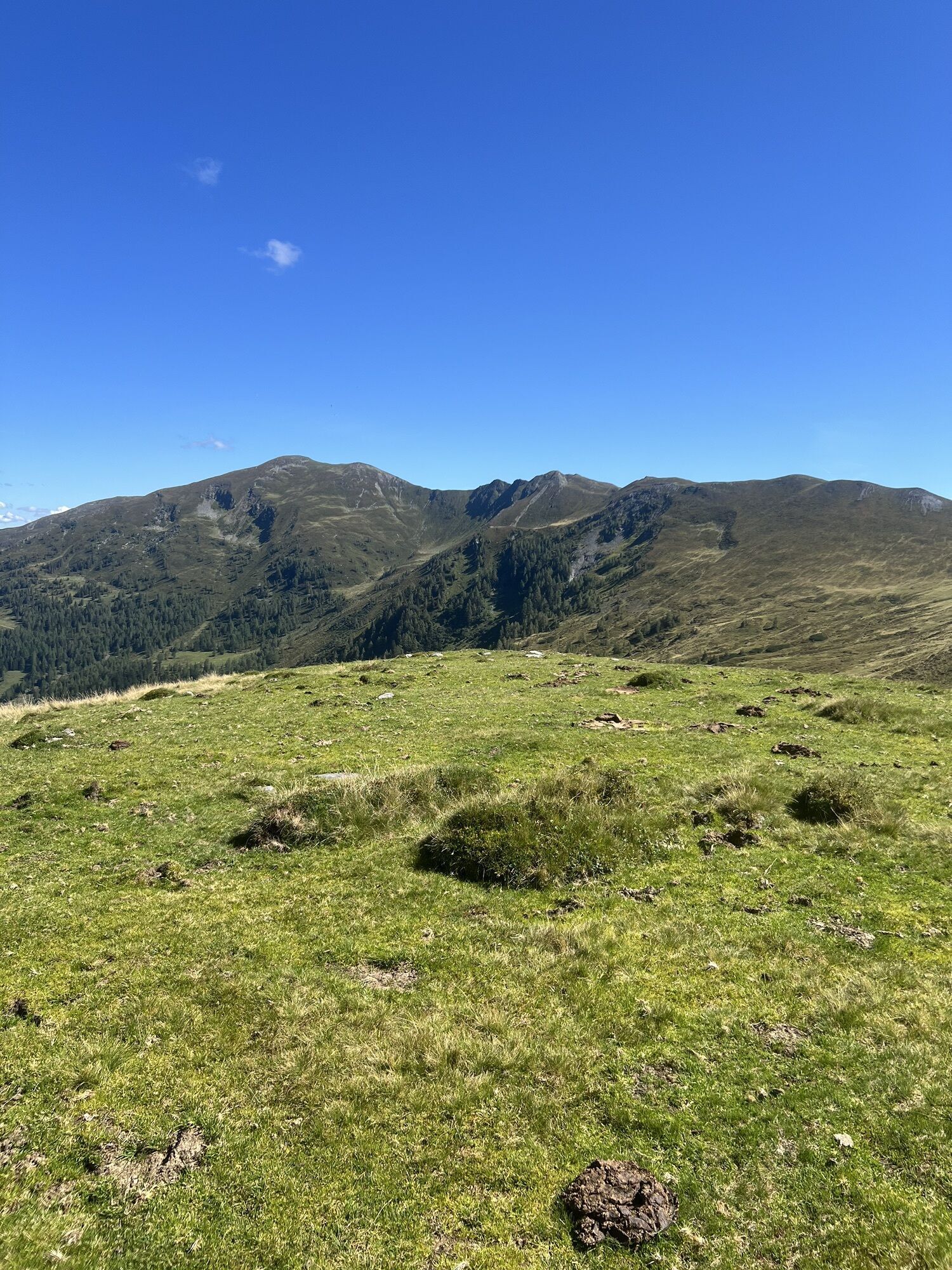


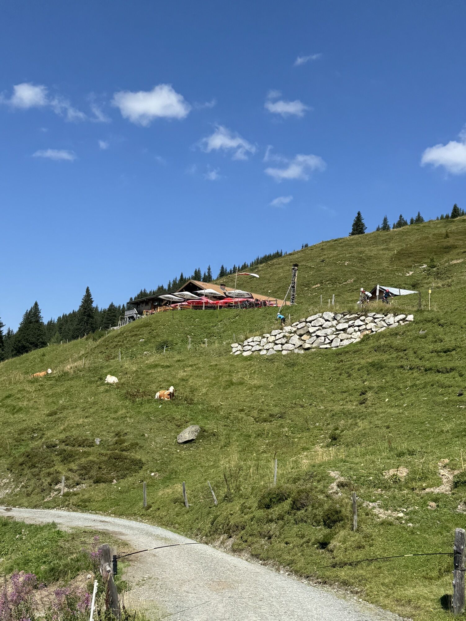


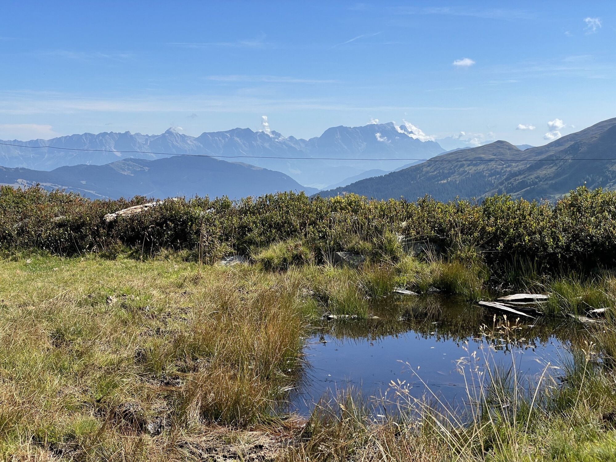
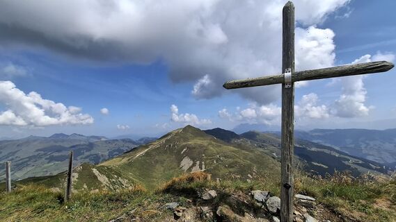
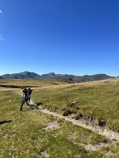
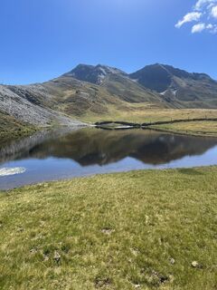
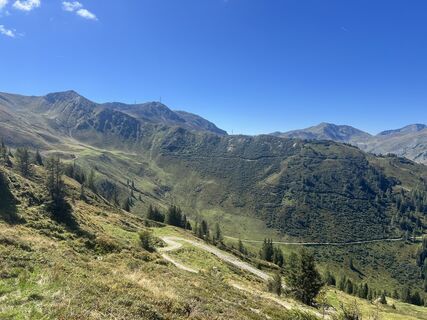
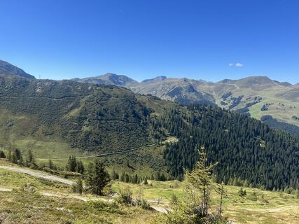
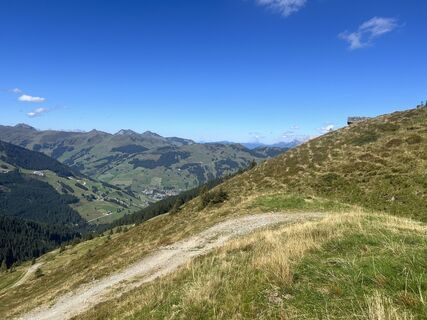
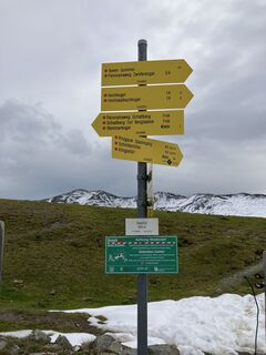
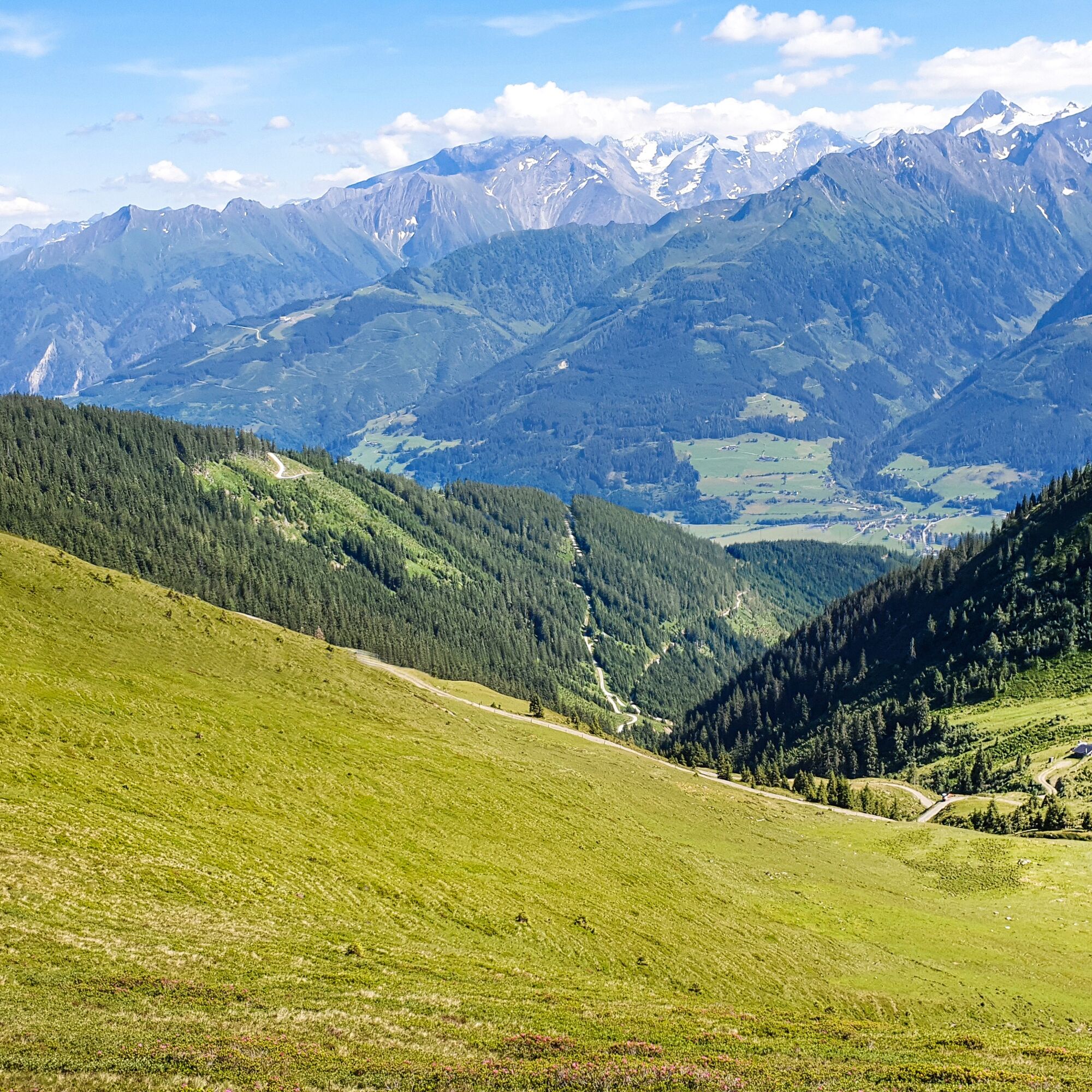
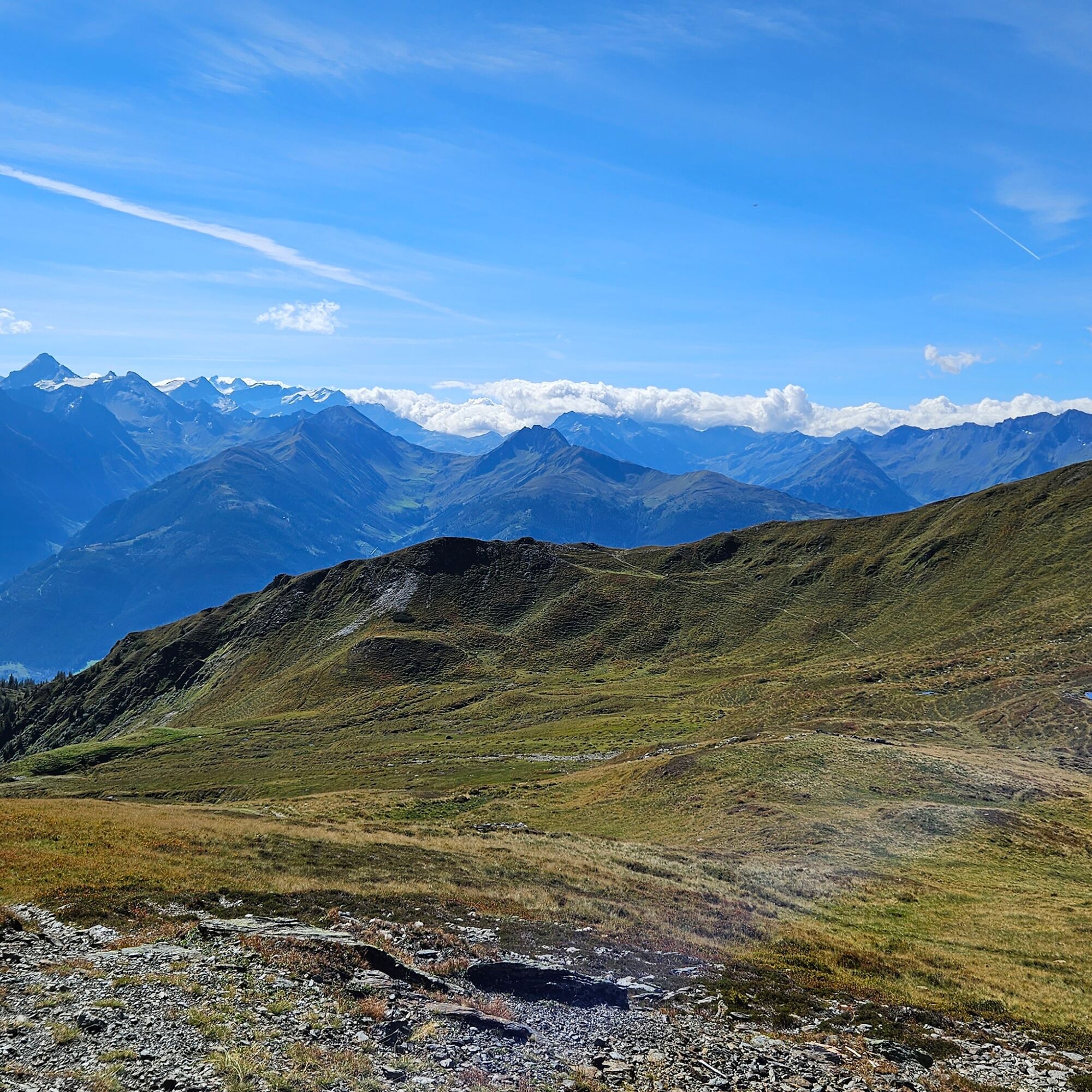
With a challenging 1,300 meters of altitude gain, the Klingler Törl - Hacklbergalm tour winds through the picturesque sunny side of the Kitzbühel Alps, also know as the Pinzgauer Grass Mountains, up to...
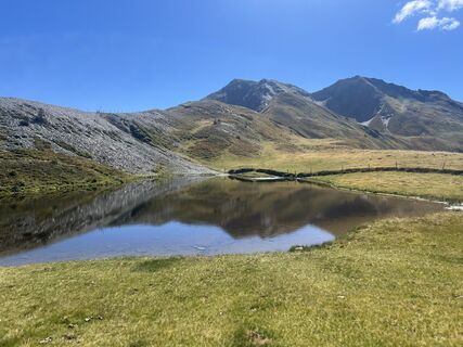
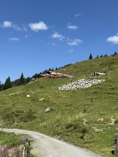
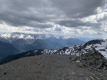
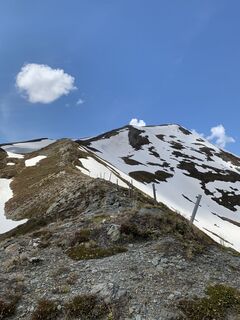
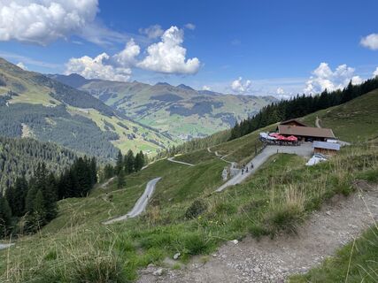
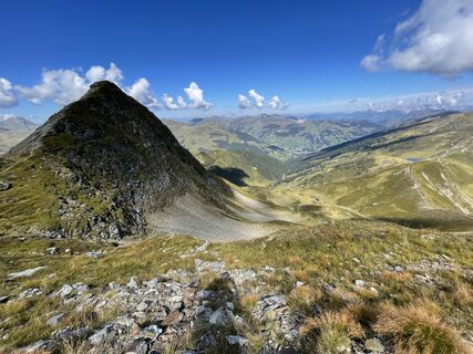
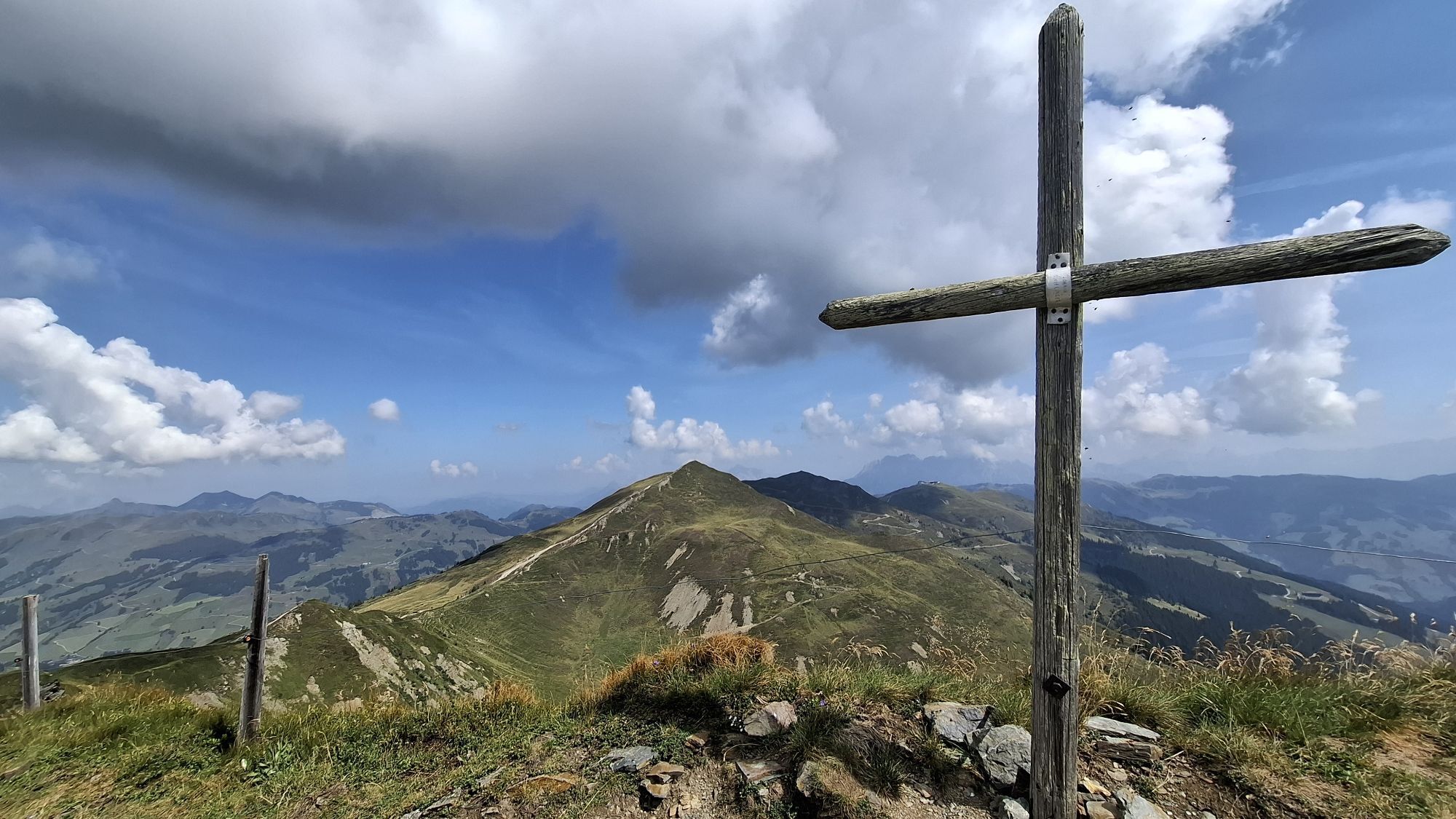
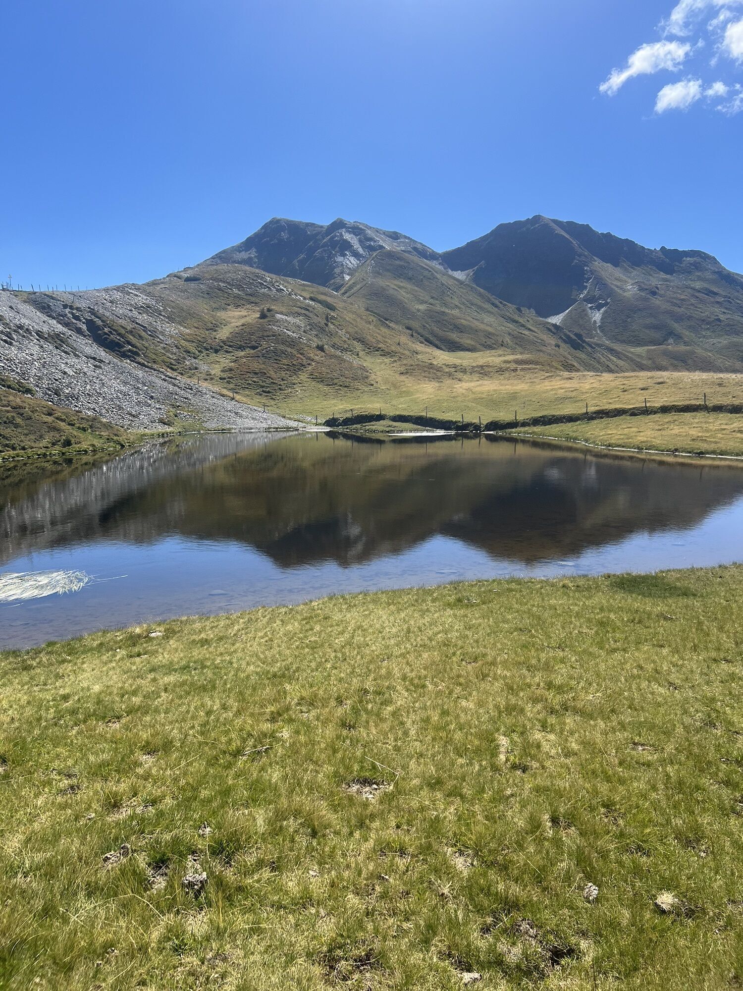
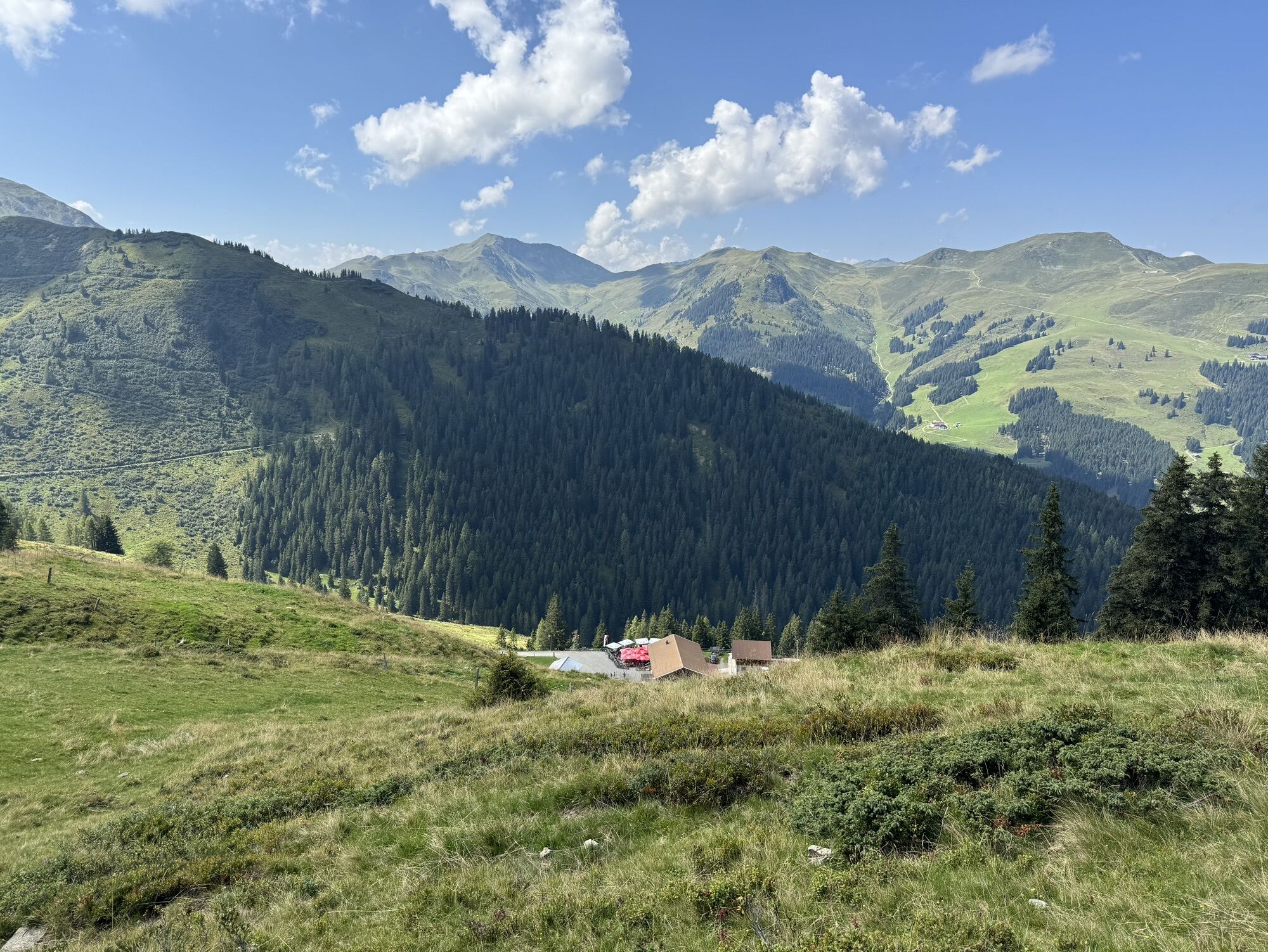
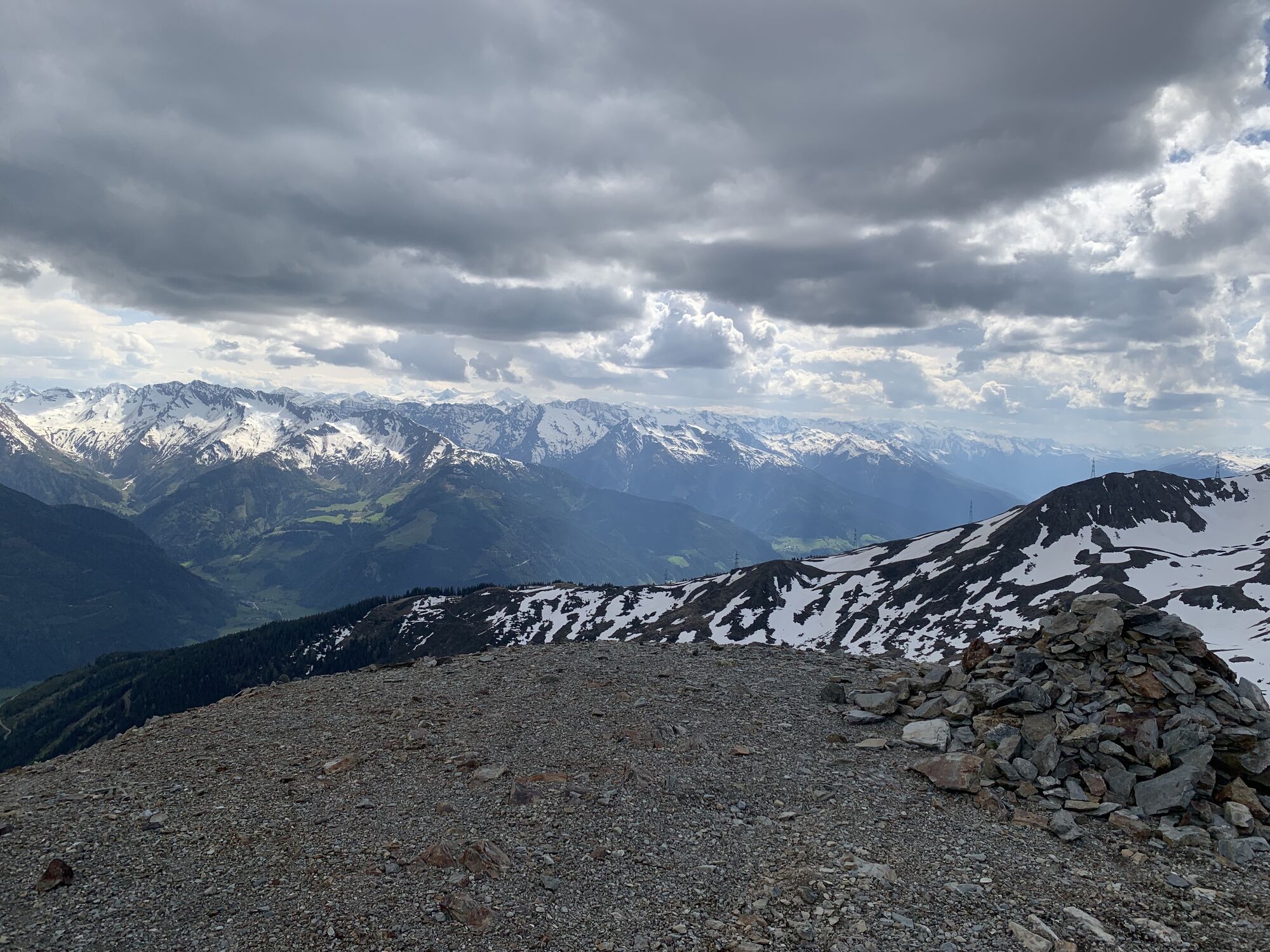
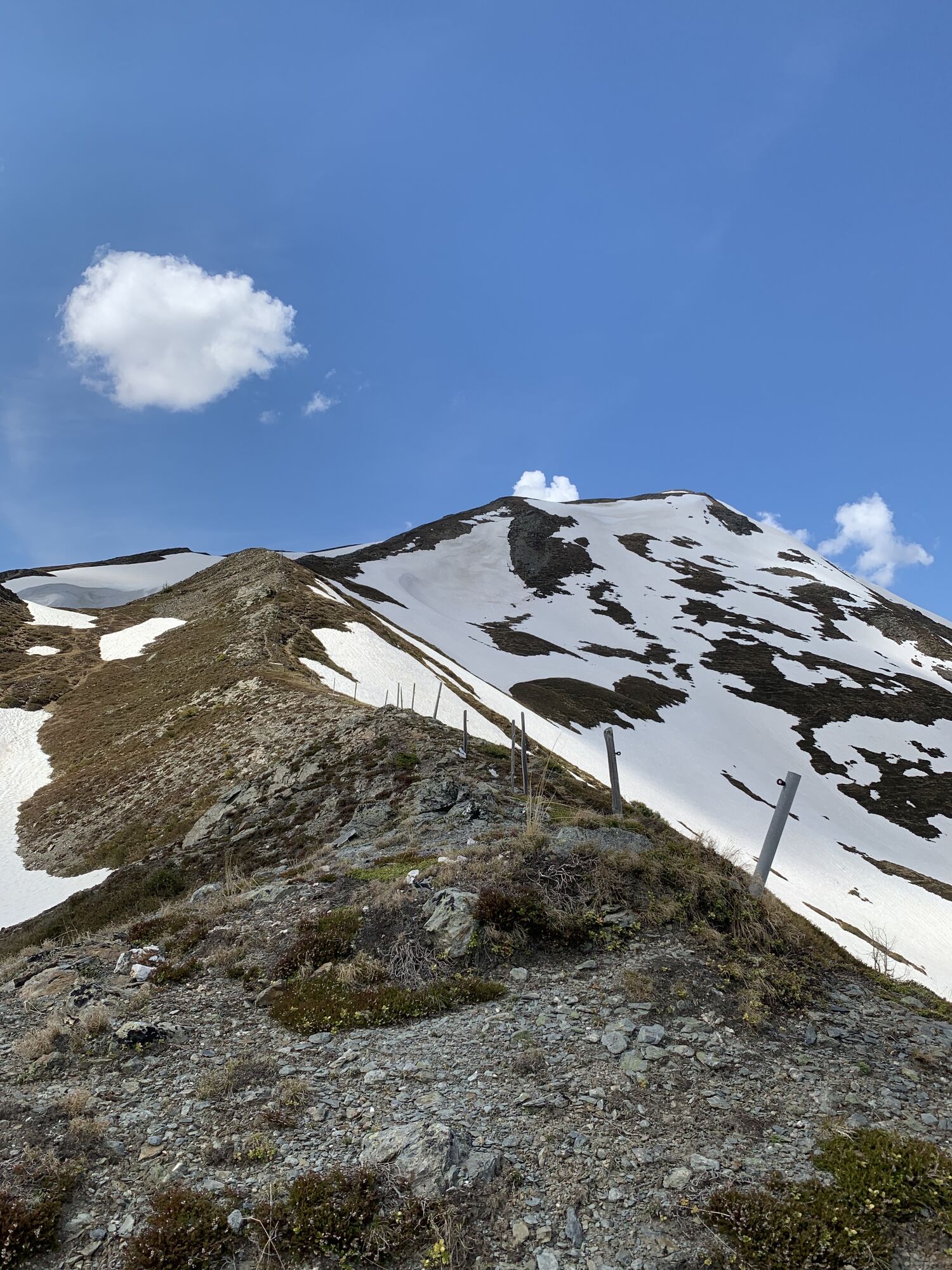
With a challenging 1,300 meters of altitude gain, the Klingler Törl - Hacklbergalm tour winds through the picturesque sunny side of the Kitzbühel Alps, also know as the Pinzgauer Grass Mountains, up to the Hacklbergalm in Hinterglemm. The Klingler Törl at 2,059 meters offers a breathtaking 360° panoramic view from the Hohe Tauern across the Salzach valley to the Wilder Kaiser and the Steinernes Meer. The route meanders through cultivated alpine areas where you may encounter grazing animals and passes by the idyllic Hacklberg lakes. A particular challenge lies in the section from the junction just before the Hochsonnberg Hut (not managed) to the Hacklbergalm.
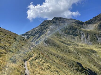
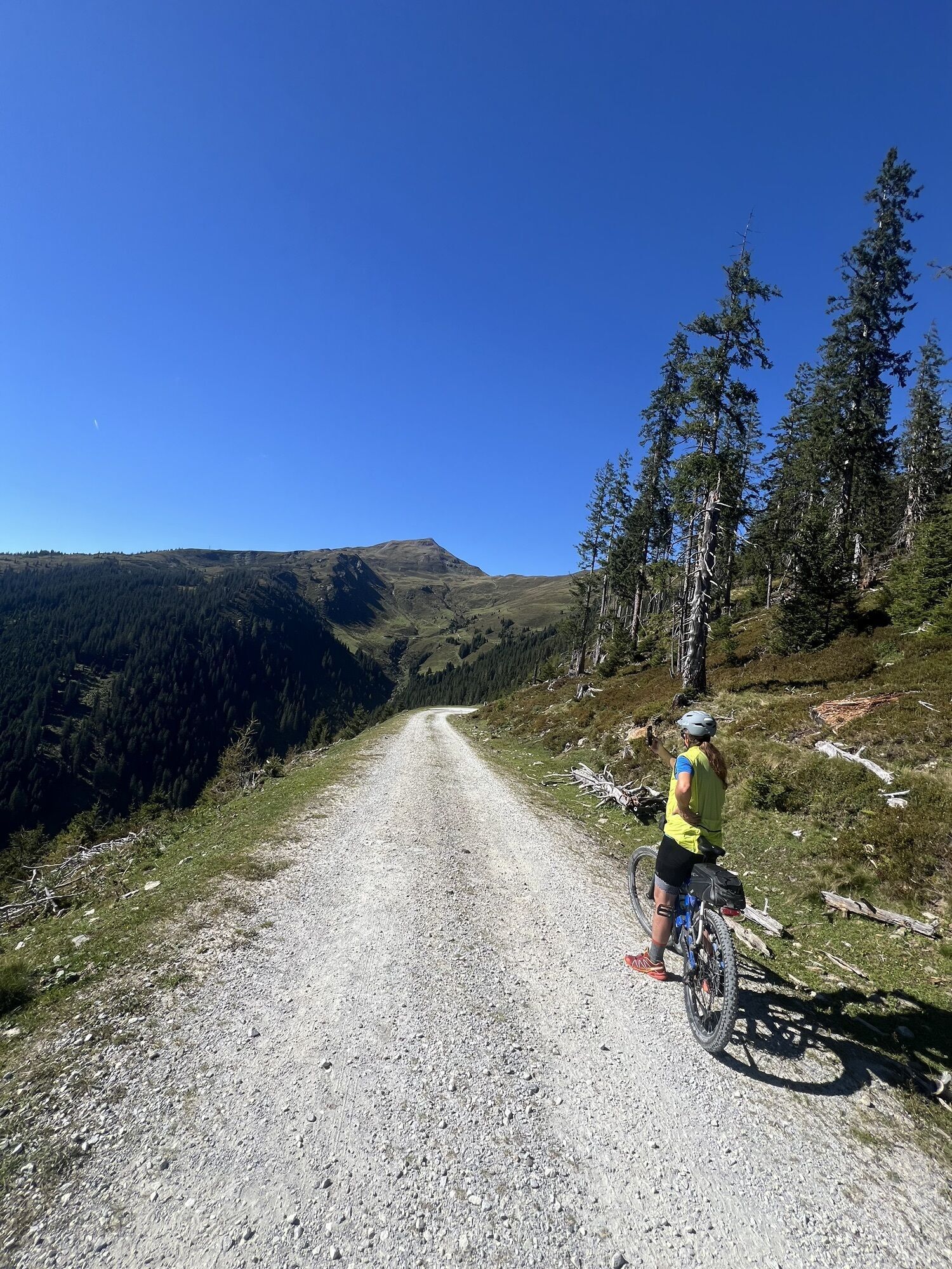
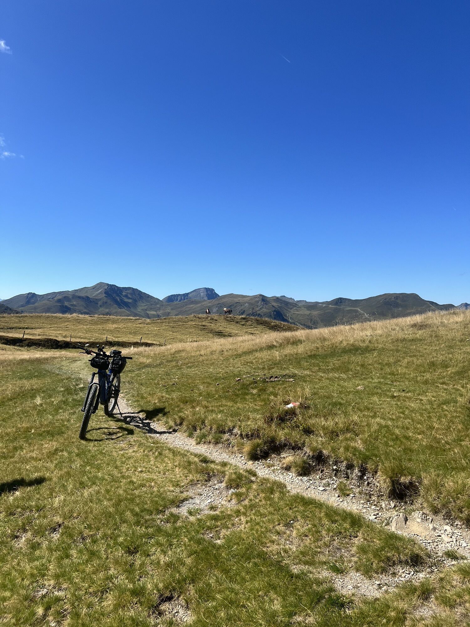
Start in the village center and cycle north towards the roundabout, then continue uphill along Steindorfer Straße, Gaisbichl, until Hochprack. At the first fork after the barrier, take a left and ride along the forest road until just before the Hochsonnberg hut (not managed). From here, the challenging trail passage to Klingler Törl begins. Descent from there to the Hacklberger Lakes - less experienced mountain bikers should consider walking their bikes - and continue to the destination at Hacklbergalm.
For the return journey, there are several options available:
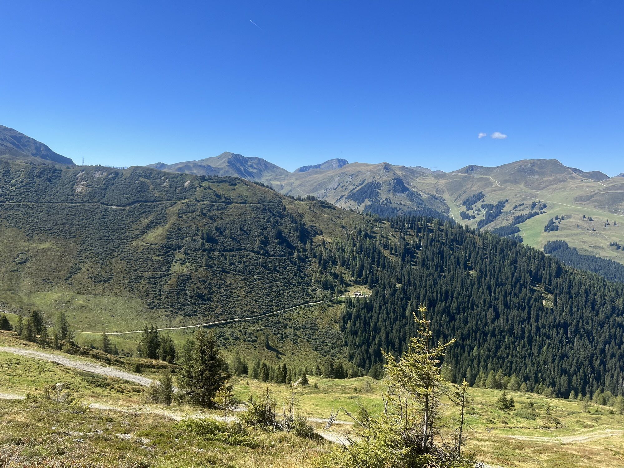
return via the same route. Follow the forest road to Hinterglemm. Take one of the trails to Hinterglemm: SH 35 Hacklberg Trail (flowy, natural, medium difficulty, starts at the hut) | SH 90 Huberalm Trail (rocky and root passages, medium difficulty, not regularly maintained, at your own risk, starts about 100 m below the hut).
From Hinterglemm, follow the Glemmtal and Tauern Cycle Path back to Niedernsill.
The use of the marked and approved routes/trails is permitted from 1st MAY to 15th NOVEMBER and only during the following times:
1st May to 31st Augustfrom 7 am to 7 pm in September from 8 am to 6 pm 1st October to 15th November from 9 am to 5 pm
Stay on the marked routes!
The common rules of conduct ensure that the forest and pasture areas will continue to provide a unique space for recreation, living and work for everyone.
Your behaviour influences public opinion and tolerance.
Niedernsill is easily accessible by mountain bike from the surrounding areas via the Tauern Cycle Path.
The village center of Niedernsill is accessible by public transfer - timetable information
Sufficient parking facilities are available at the village center.
Enjoy the panoramic view at the Klingler Törl at around 2,000 meters to recharge your energy and treat yourself to local delicacies at the Hacklbergalm.
Populære turer i nabolaget
-
4,7
Tristkogel
tungVandring 15,6 km -
4,5
Sigmund Thun Klamm
lysVandring 3,10 km -
4,2
Spielbergalmen
middelsVandring 10 km -
4,8
Sigmund Thun Klamm, Klammsee, Bürgkogel
lysVandring 4,56 km -
5,0
Manlitzkogel
tungVandring 13,4 km -
4,2
Saalachtaler Höhenweg EAST (Asitz - Biberg)
middelsVandring 13,1 km -
4,4
Thumersbach, Runde um den Zeller See
lysVandring 13,3 km -
4,0
Mountain of Senses
lysVandring 4,39 km -
3,3
Hinterglemm: Talschluß-Höhenweg
lysVandring 10,8 km -
4,3
Schattberg Summit Round
middelsVandring 3,17 km
Vandring og sporing


Ikke gå glipp av tilbud og inspirasjon til din neste ferie
E-postadressen din har blitt lagt til på adresselisten.