


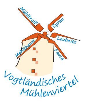
The route crosses the Vogtland Mill District and the naturally romantic Burgstein area with almost 60 kilometers. From just under 340 meters elevation, you climb to 630 meters over about 25 kilometers...
The route crosses the Vogtland Mill District and the naturally romantic Burgstein area with almost 60 kilometers. From just under 340 meters elevation, you climb to 630 meters over about 25 kilometers and then have around 35 kilometers of downhill ride to enjoy the landscape.
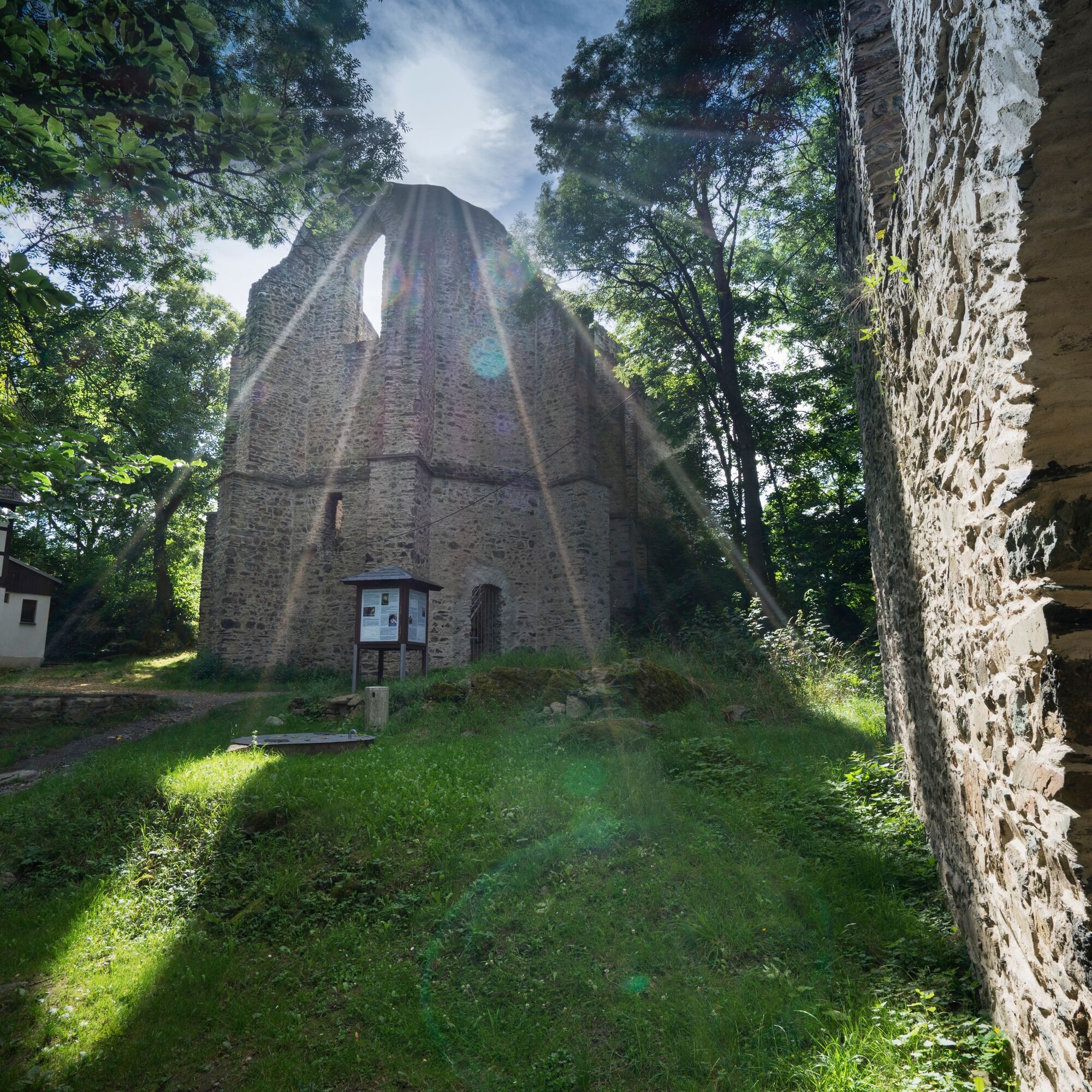
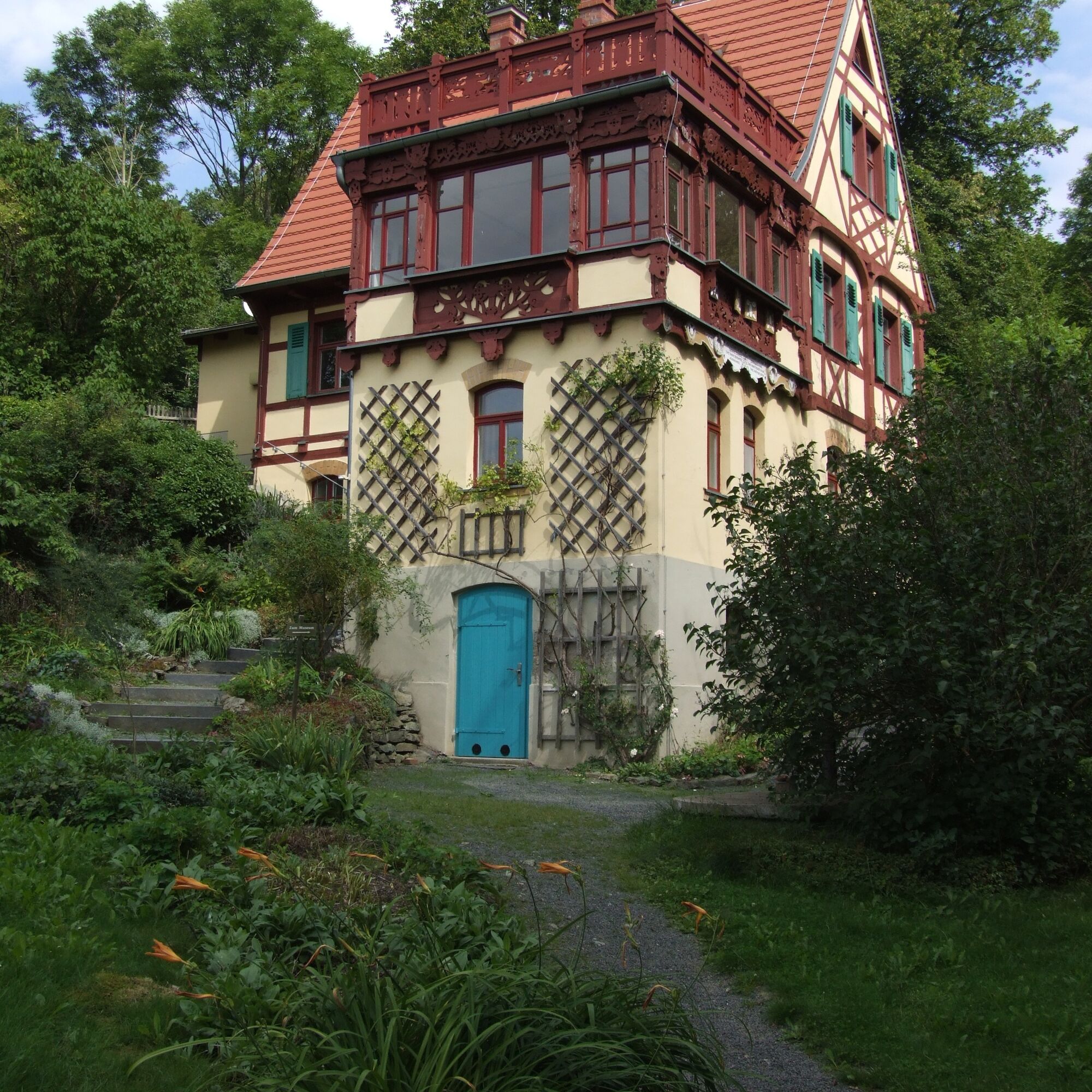
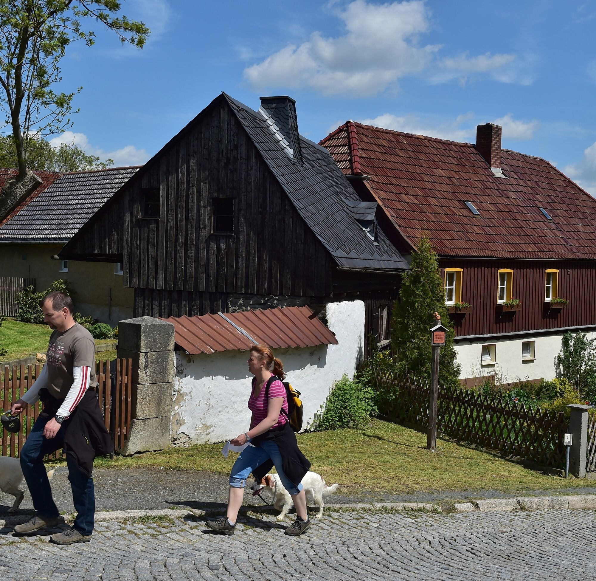
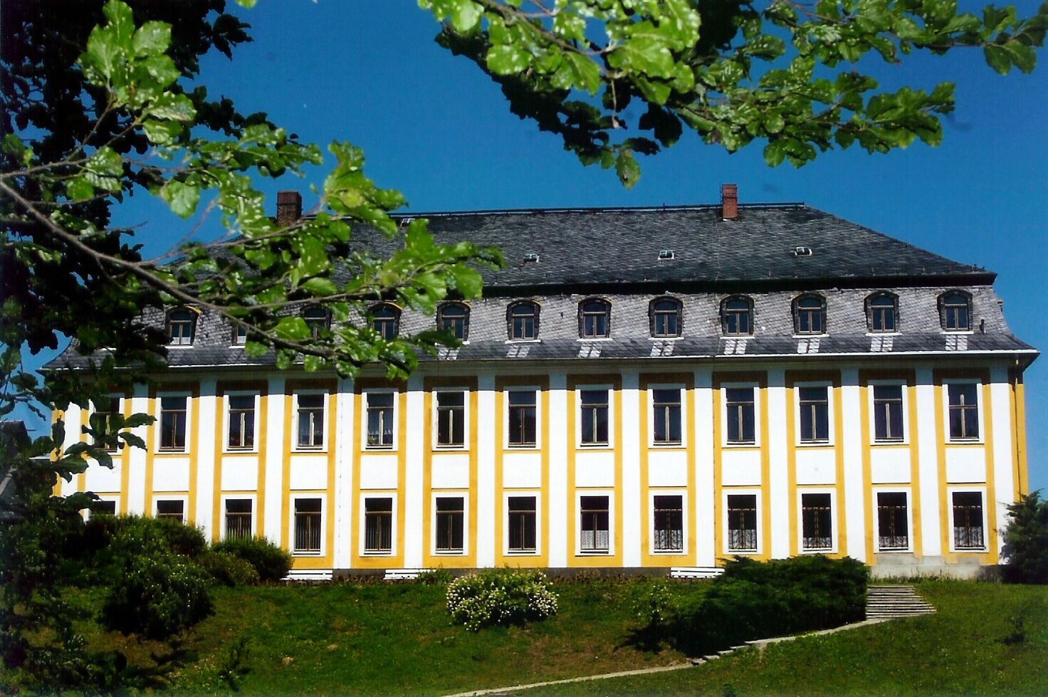

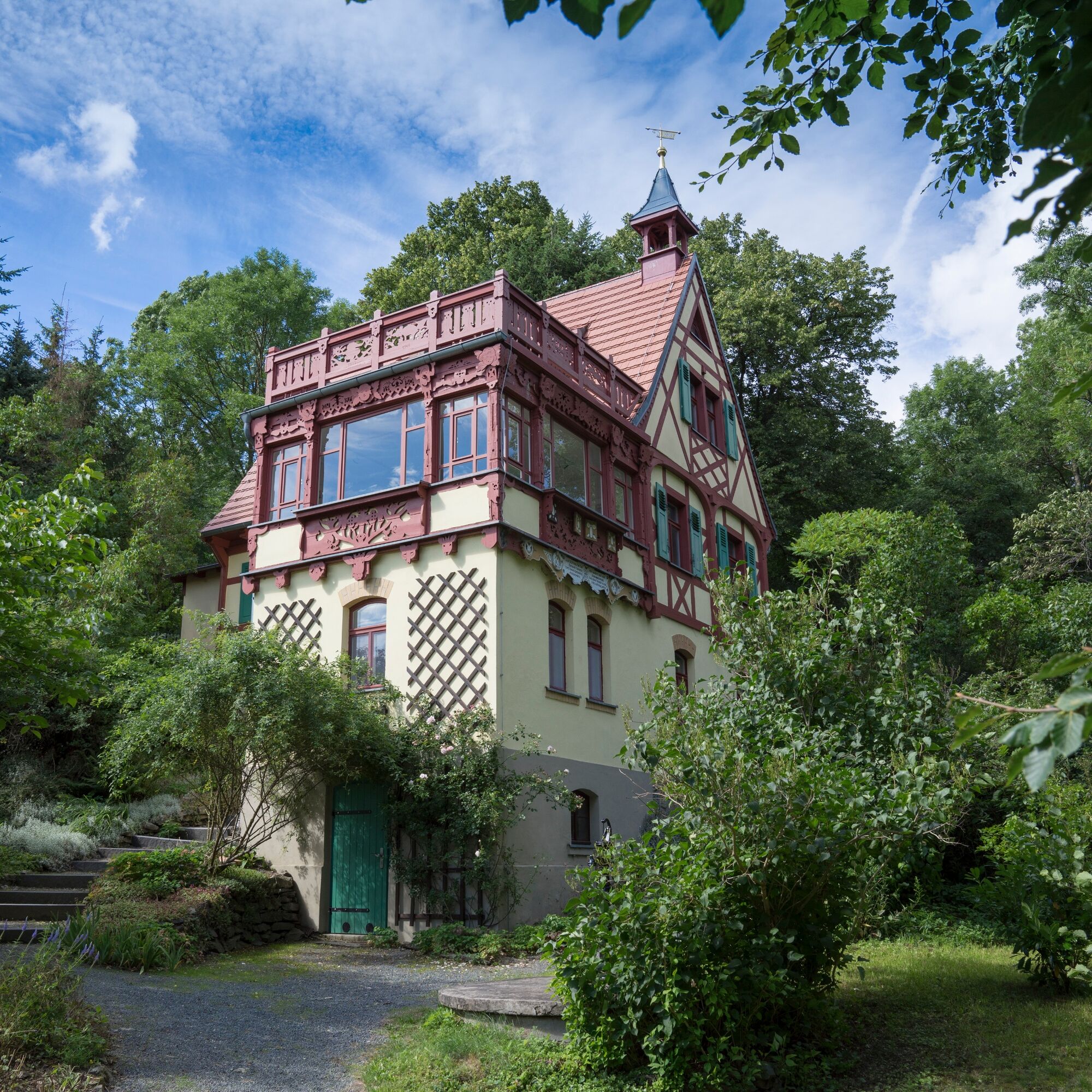
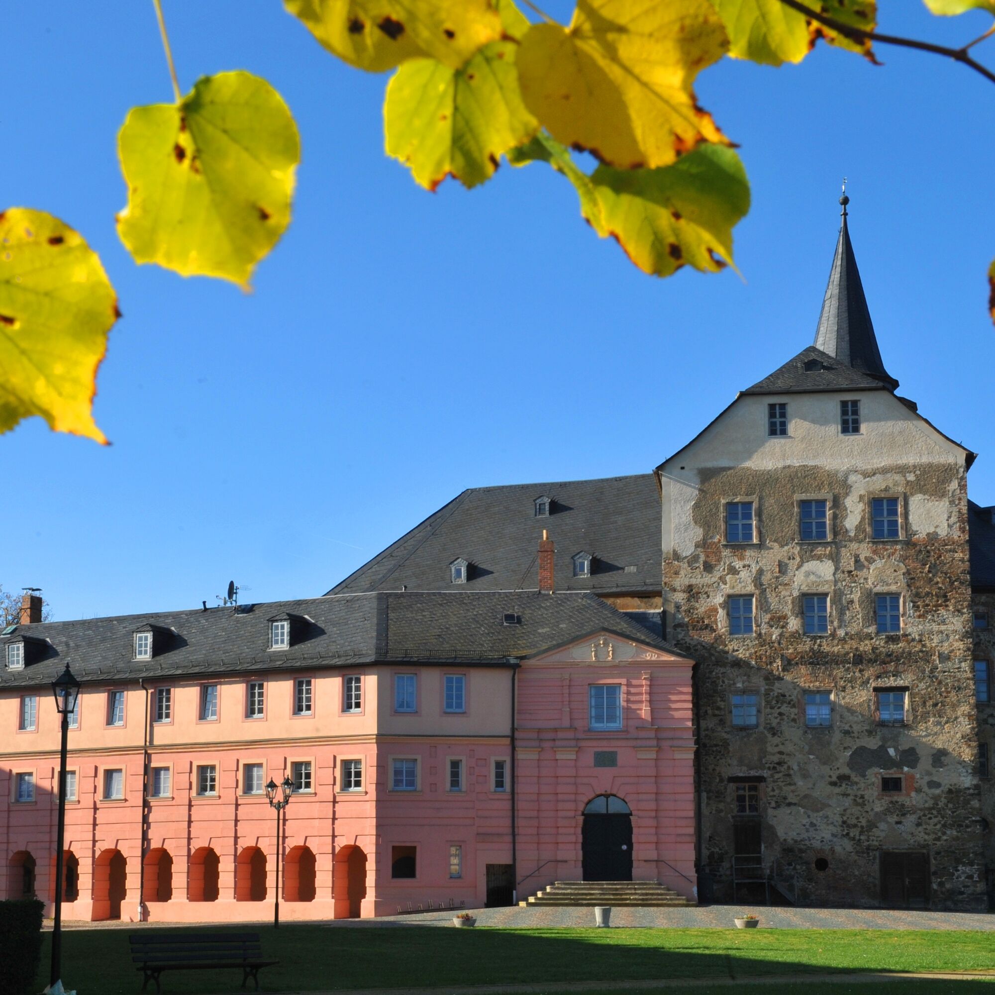
The starting point is Plauen Upper Station. Due to the downhill, the first destination is the corner of Straßberger Straße following the B92, where we turn right towards Straßberg along the White Elster. From Straßberg, we ride along the Rosenbach to Kloschwitz, Rodersdorf, Steins, and Schwand to Krebes. A visit to the Hermann Vogel House and the Burgstein ruin is worthwhile here. The route then continues to Gutenfürst and Grobau to Misslareuth, the corner point of the route. Along the Saxon-Thuringian border, we ride right towards Reuth, Stelzen, Kornbach, and Schönberg. Just before the town (before the railway), it continues towards Leubnitz, Rössitz, Kobitzschwalde, Neuendorf, back through Plauen to the Upper Station.
Ja
Professional equipment highly recommended.
The road cycling route was tested with road cyclists. Nevertheless, personal fitness must be carefully considered and critically assessed by the cyclist.
Please pay attention to your safety, as you are on public roads!
Plauen can be reached via the A72 or the A9 exit Schleiz, then the B282 and the B92.
Please use the information at www.vvvogtland.de or contact 03744/19449.
Plauen Upper Station
Public parking spaces are available at the station in Plauen.
The route was designed as a continuous route. It consists of a steadily ascending 30-kilometer climb to 630 meters elevation and then a 30-kilometer descent to 350 meters elevation.
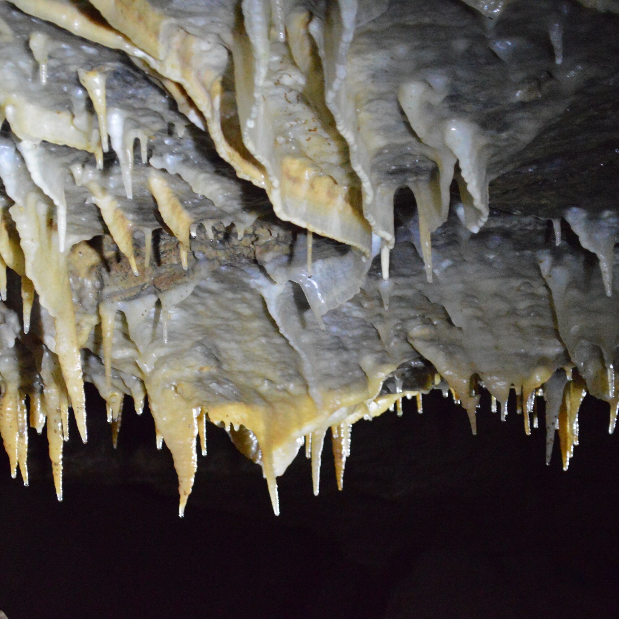
A visit to the Burgstein ruins is worthwhile for nature lovers!
Populære turer i nabolaget
-
5,0
Burgsteinlehrpfad
middelsVandring 9,51 km -
Talsperre Pöhl-Triebtal-Elstertalbrücke
lysVandring 8,76 km -
3,0
Syrau Dragon Circuit
lysVandring 10,3 km -
5,0
ElsterWasserWeg - Elster Hiking Trail
middelsVandring 11,2 km -
Around the earth axis town
Vandring 16,4 km -
Kürbitz Lindworm Trail
middelsVandring 4,80 km -
3,0
Euregio Egrensis cycle route
tungLangdistansesykkelvei 237,8 km -
4 summit route
middelsVandring 25,9 km -
Through the Kemnitzbach valley
tungVandring 20,7 km -
Jakobsweg Via Imperii from Zwickau via Plauen to Hof
tungPilegrimsrute 89,5 km

Vandring og sporing


Ikke gå glipp av tilbud og inspirasjon til din neste ferie
E-postadressen din har blitt lagt til på adresselisten.