


Vanskelighetsgrad: S1


7 plus 1
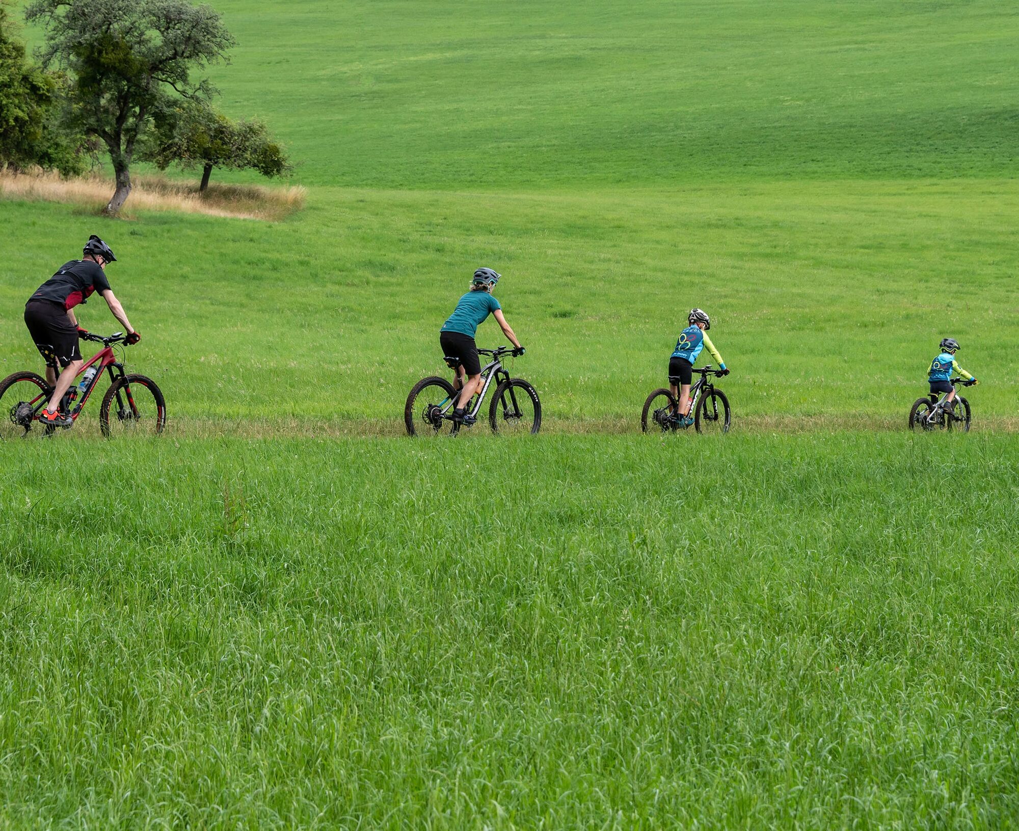
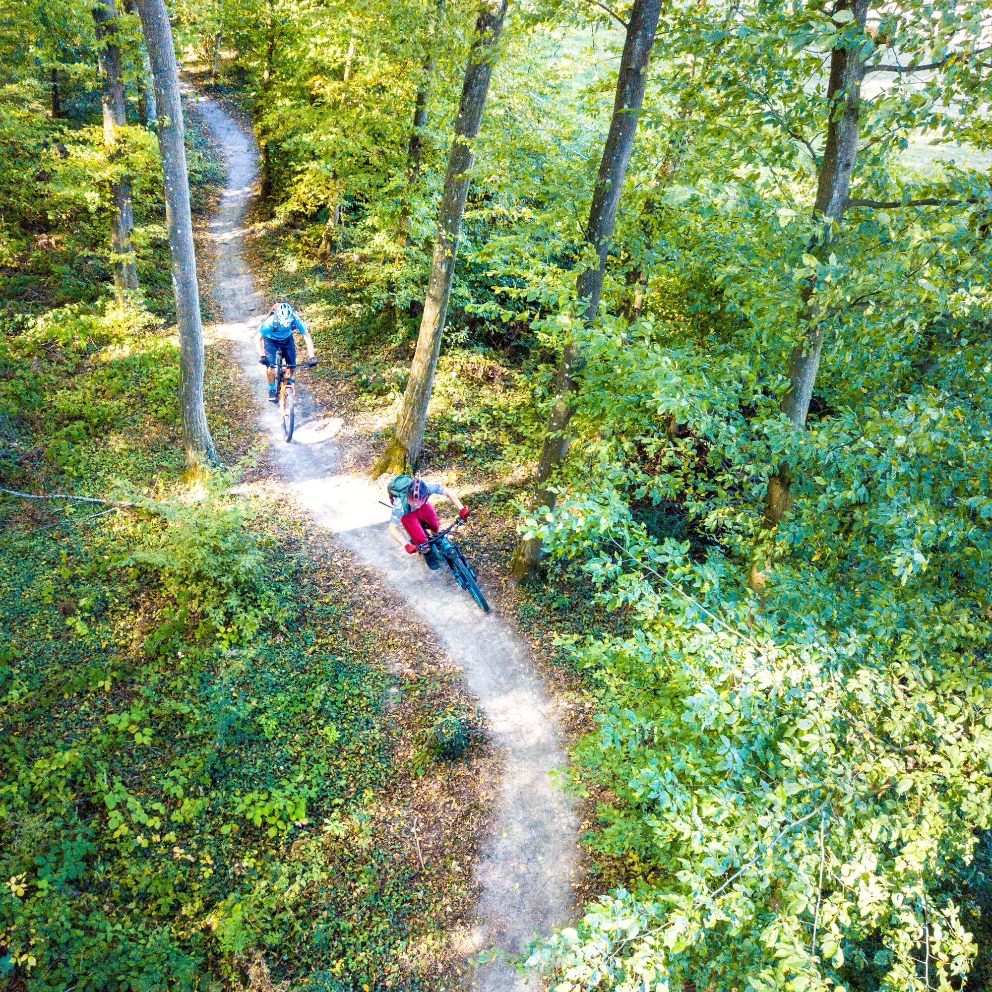
In 7 (MTB) plus 1 (Gravel) different variants, we want to guide you on our signposted PERL BIKE routes through the Dreiländereck and its history. We present our natural and cultural landscape...
7 plus 1
In 7 (MTB) plus 1 (Gravel) different variants, we want to guide you on our signposted PERL BIKE routes through the Dreiländereck and its history. We present our natural and cultural landscape as well as our tourist highlights in a sporty summary. The roadbook includes our local forests, orchards, and vineyards - and of course also historical sites such as the former Höckerlinie, the mosaic in Nennig, the Roman Villa Borg, or the Renaissance Castle Berg.
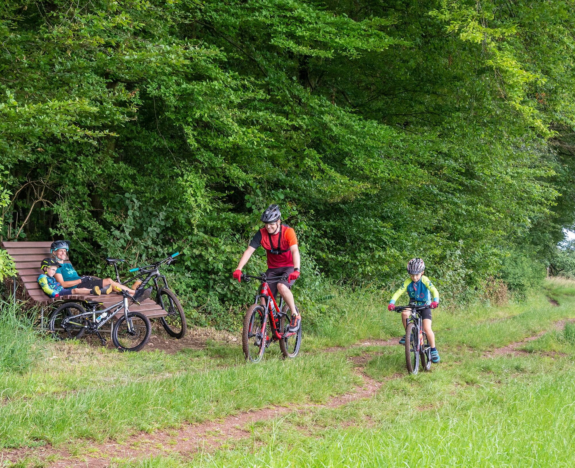
Start in Perl
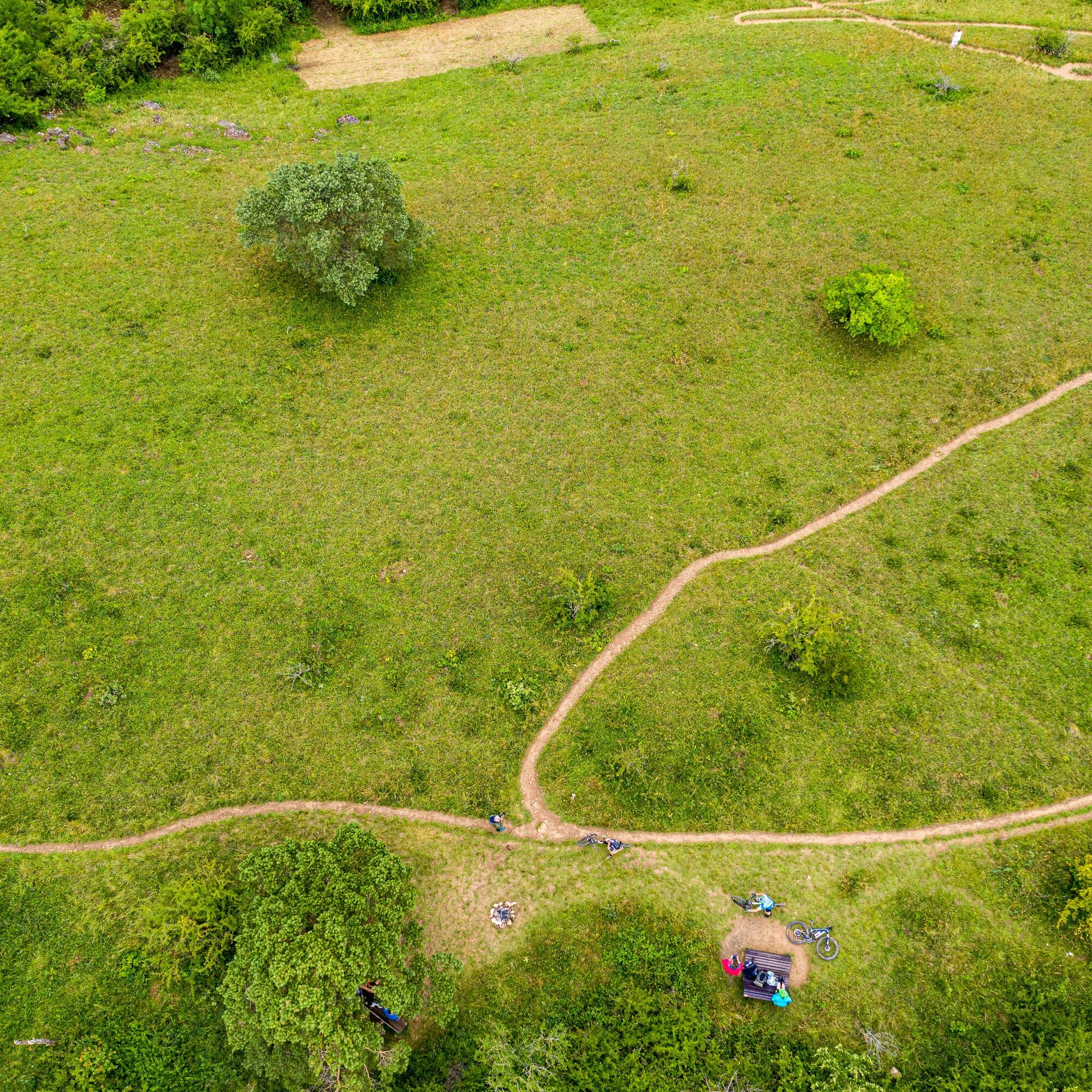
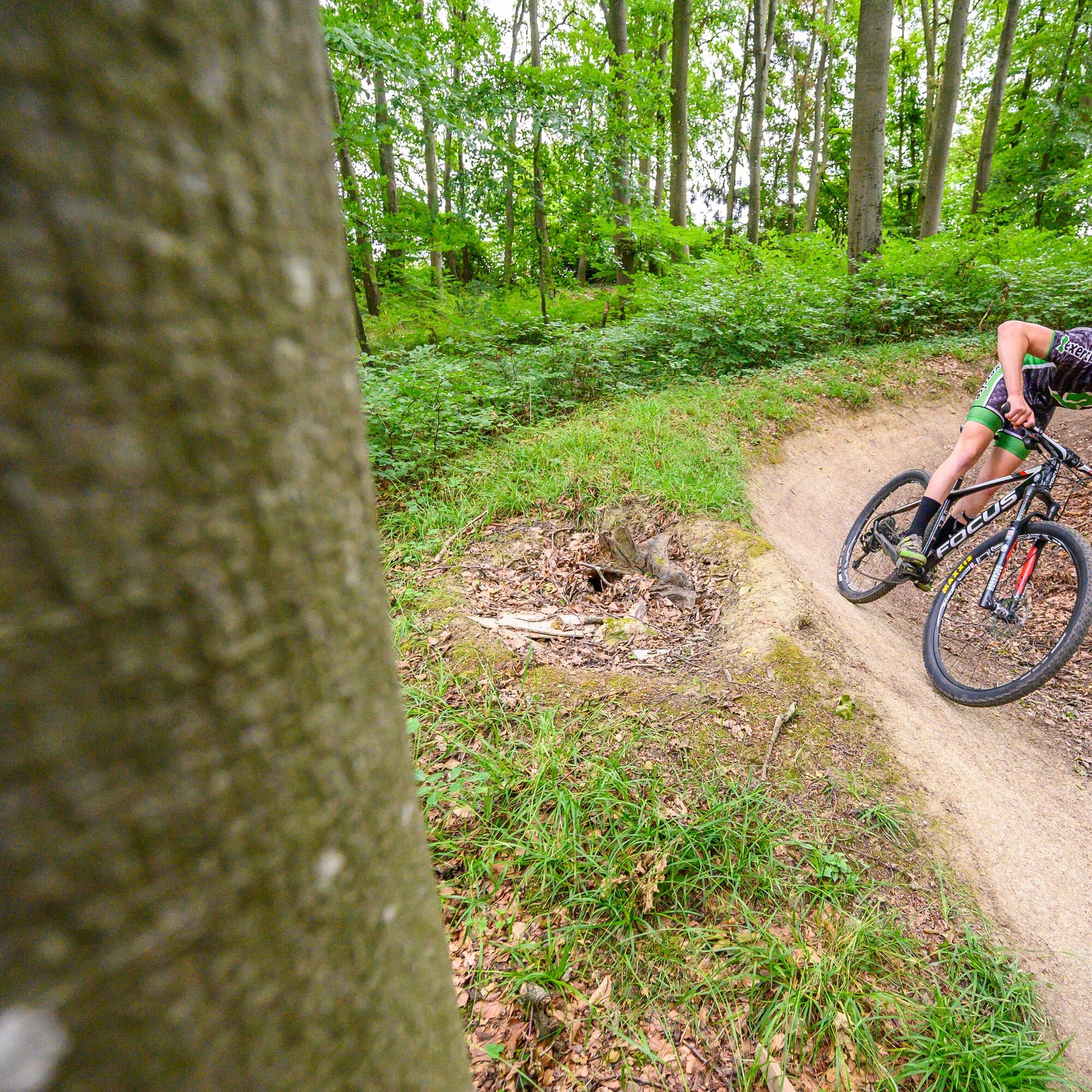
The basis of our routes is the PERL 100 circuit with just over 100 kilometers. All other variants are sections and shortcuts of this route. The approximately 80-kilometer gravel variant omits difficult, steeper, and rocky trails and can therefore generally always be used as an easy variant on a mountain bike as well.
Our 7 MTB routes and our gravel circuit start in Perl at the mountain bike facility. Another starting point for all routes can be found in Borg directly at the parking lot at Kuhampel. All routes are marked with the well-known sign (orange triangle + 2 circles). We still recommend using a GPS device with the respective track. Unfortunately, we are not immune to vandalism, manipulation, and sign theft. If you notice any inconsistencies, please report them to us as soon as possible.
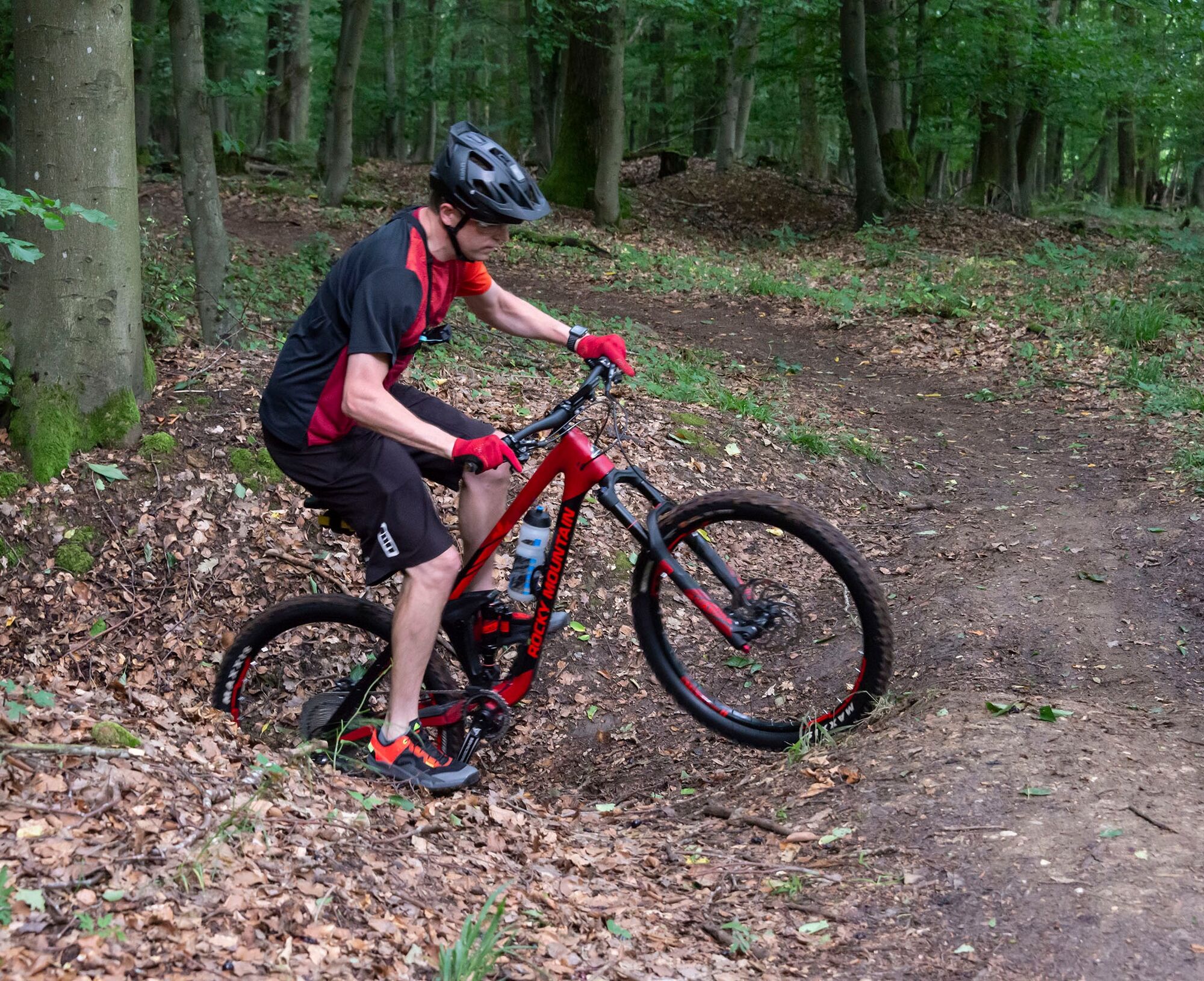
The route number gives an indication of the approximate length of the route. The colors black-red-blue-green indicate the overall demand (fitness, riding technique, etc.) of the route. Since these assessments are always very individual and depend on personal training condition, skill, and also equipment, we refrain from providing more detailed information on the difficulty level.

Ja
S1
Populære turer i nabolaget
-
5,0
Saarschleife Tafeltour
tungVandring 16,5 km -
4,0
Dream loop Panorama Trail Perl
middelsVandring 11,5 km -
5,0
Traumschleife Kastel-Staadt Felsenpfad
tungFjellturer 10,2 km -
Moselsteig Stage 02: Palzem - Nittel
middelslangdistanse tursti 16,4 km -
5,0
Dream Loop Wehinger Viezpfad
tungVandring 14 km -
4,7
Dream Loop Cloefpfad
middelsVandring 8,03 km -
5,0
Saarschleifen Classic Round
middelsSykling 31,6 km -
4,0
Montclair Tafeltour 01.08.2021
lysVandring 9,17 km -
4,0
Saar-Hunsrück-Steig - Stage 01: Perl - Hellendorf
middelslangdistanse tursti 16,9 km -
Moselsteig Stage 01: Perl – Palzem
tunglangdistanse tursti 23,6 km
Vandring og sporing


Ikke gå glipp av tilbud og inspirasjon til din neste ferie
E-postadressen din har blitt lagt til på adresselisten.