


The official starting point is the parking lot at the sports field of the local community of Laudert; alternatively, the cemetery parking lot of the local community of Kisselbach can also be used to start...
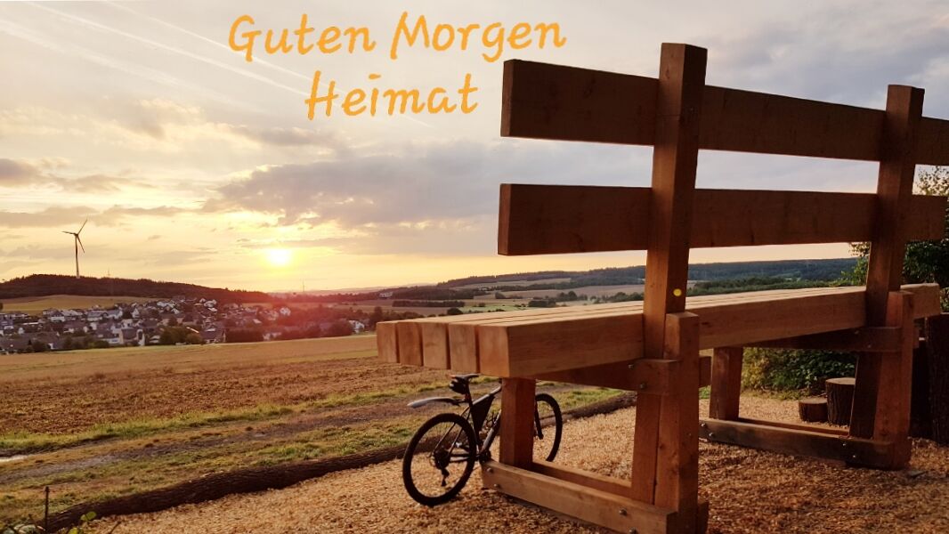
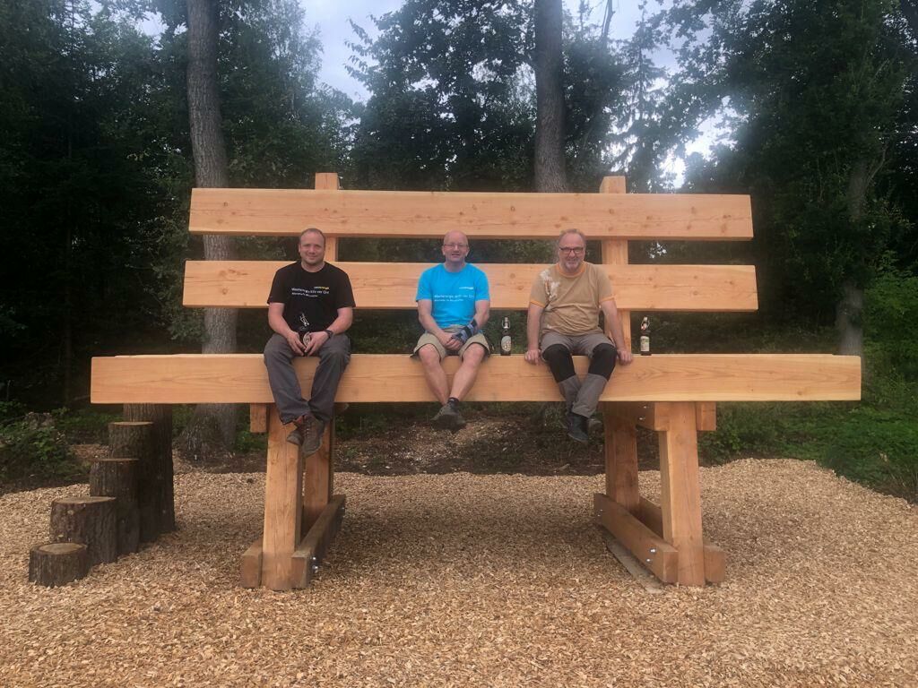
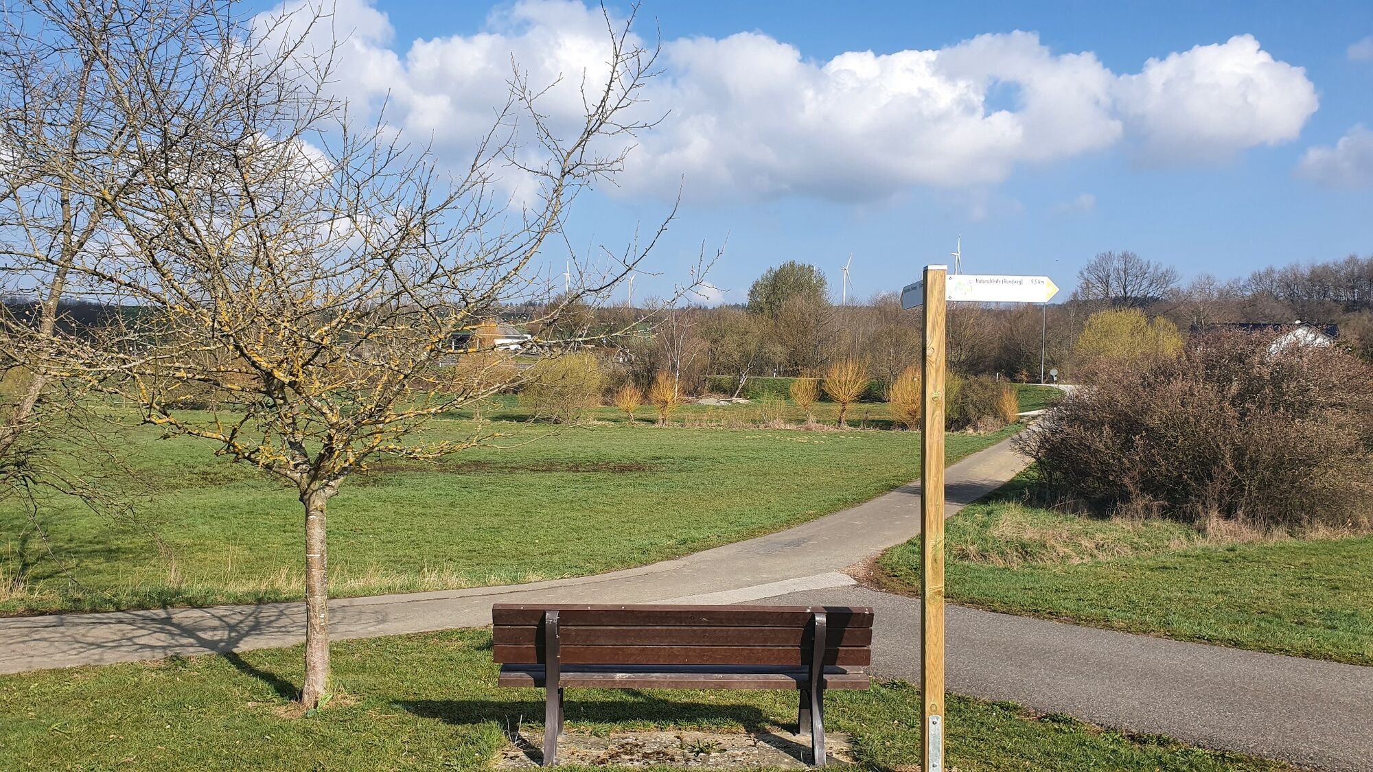
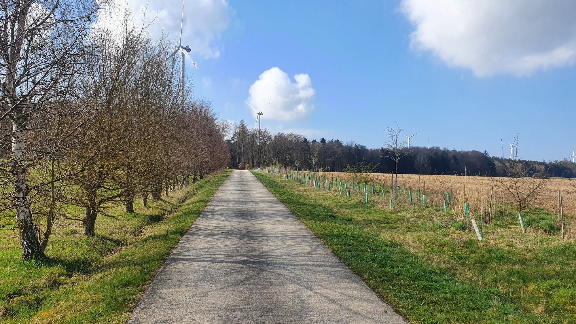
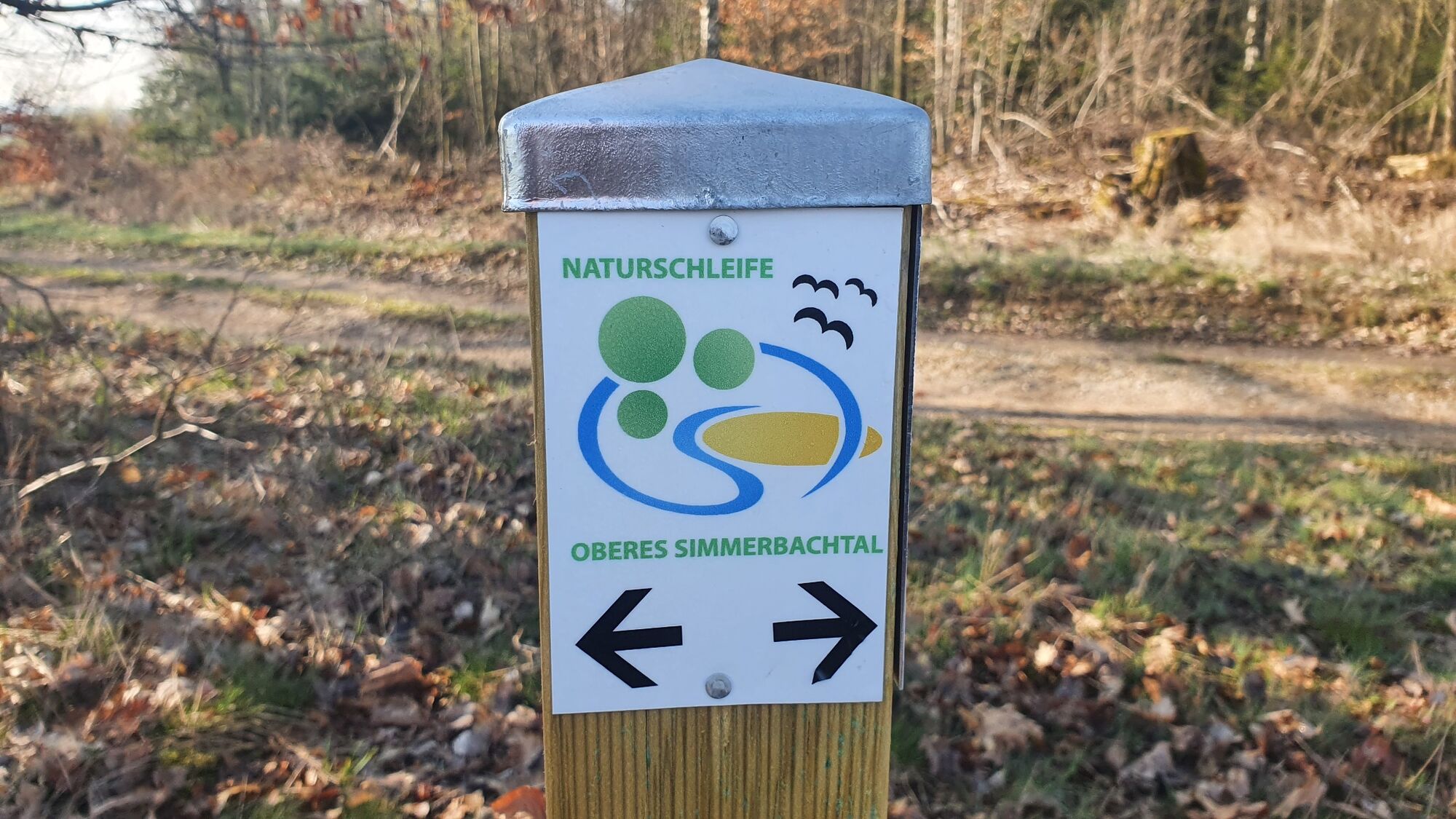
The official starting point is the parking lot at the sports field of the local community of Laudert; alternatively, the cemetery parking lot of the local community of Kisselbach can also be used to start the circular route. The path is signposted in both directions. The trails mostly run on existing forest and utility roads (mostly gravel, partially asphalted) and past an XXL bench, which was built as a highlight by locals.
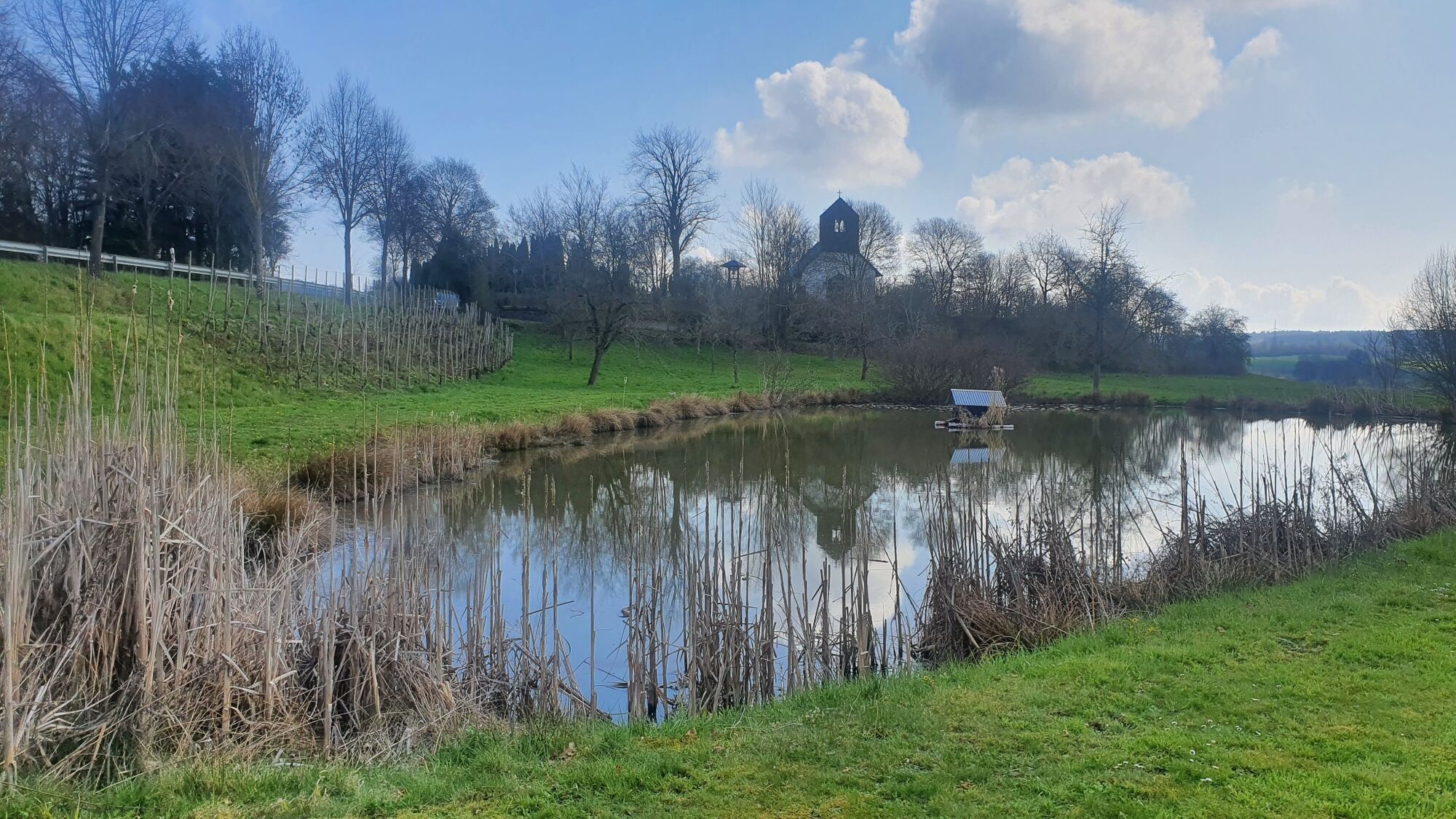
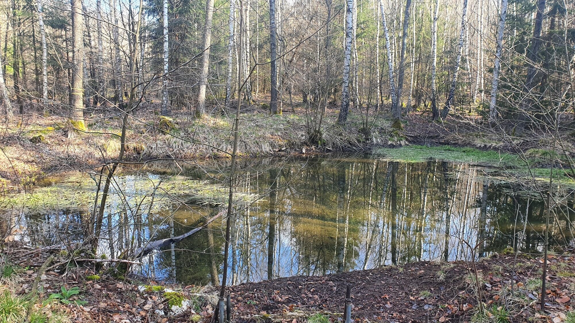
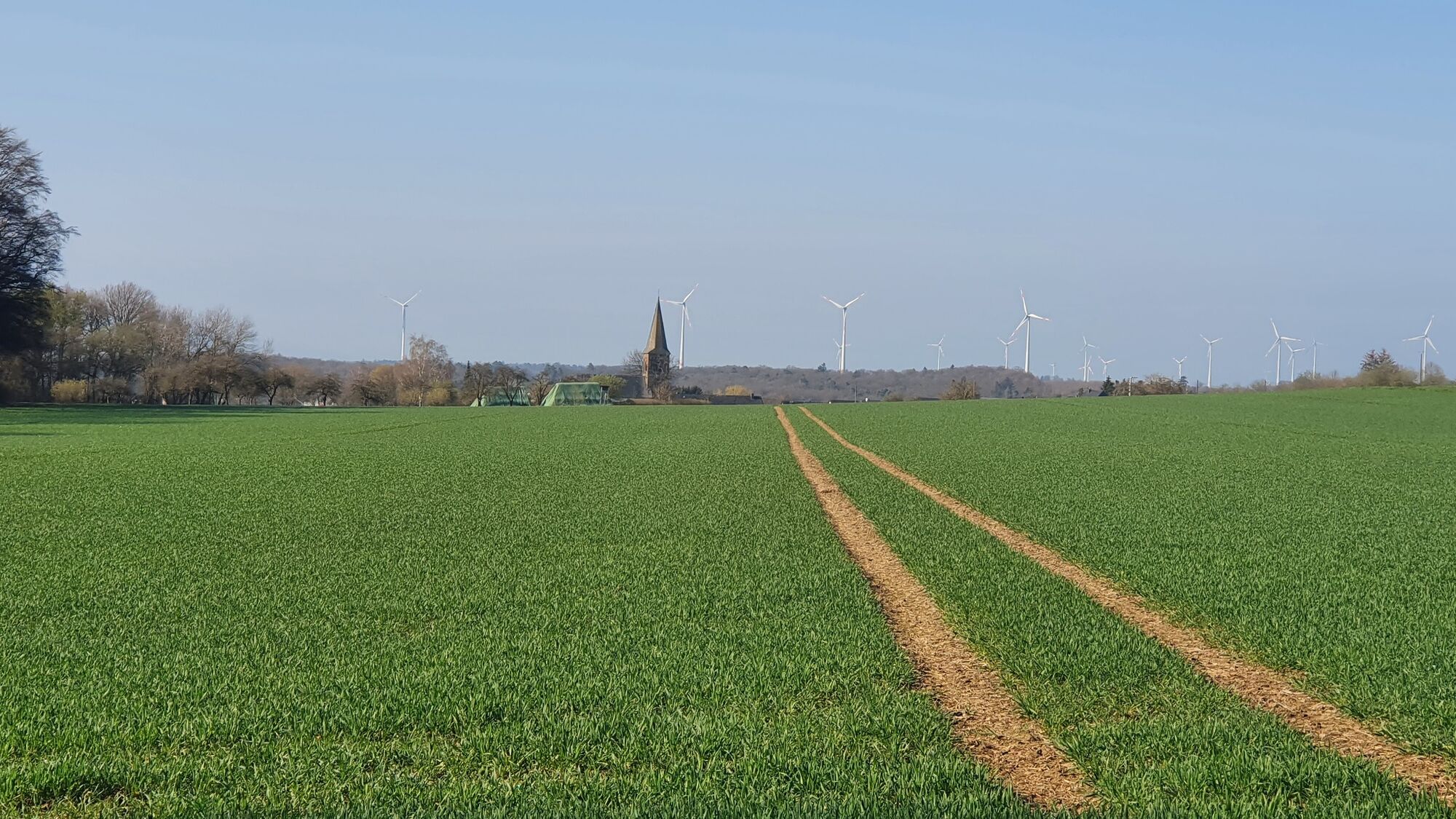
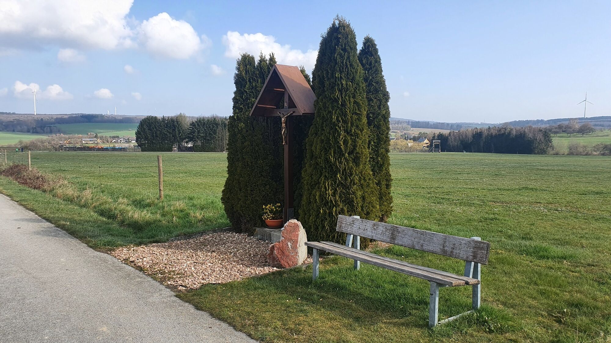
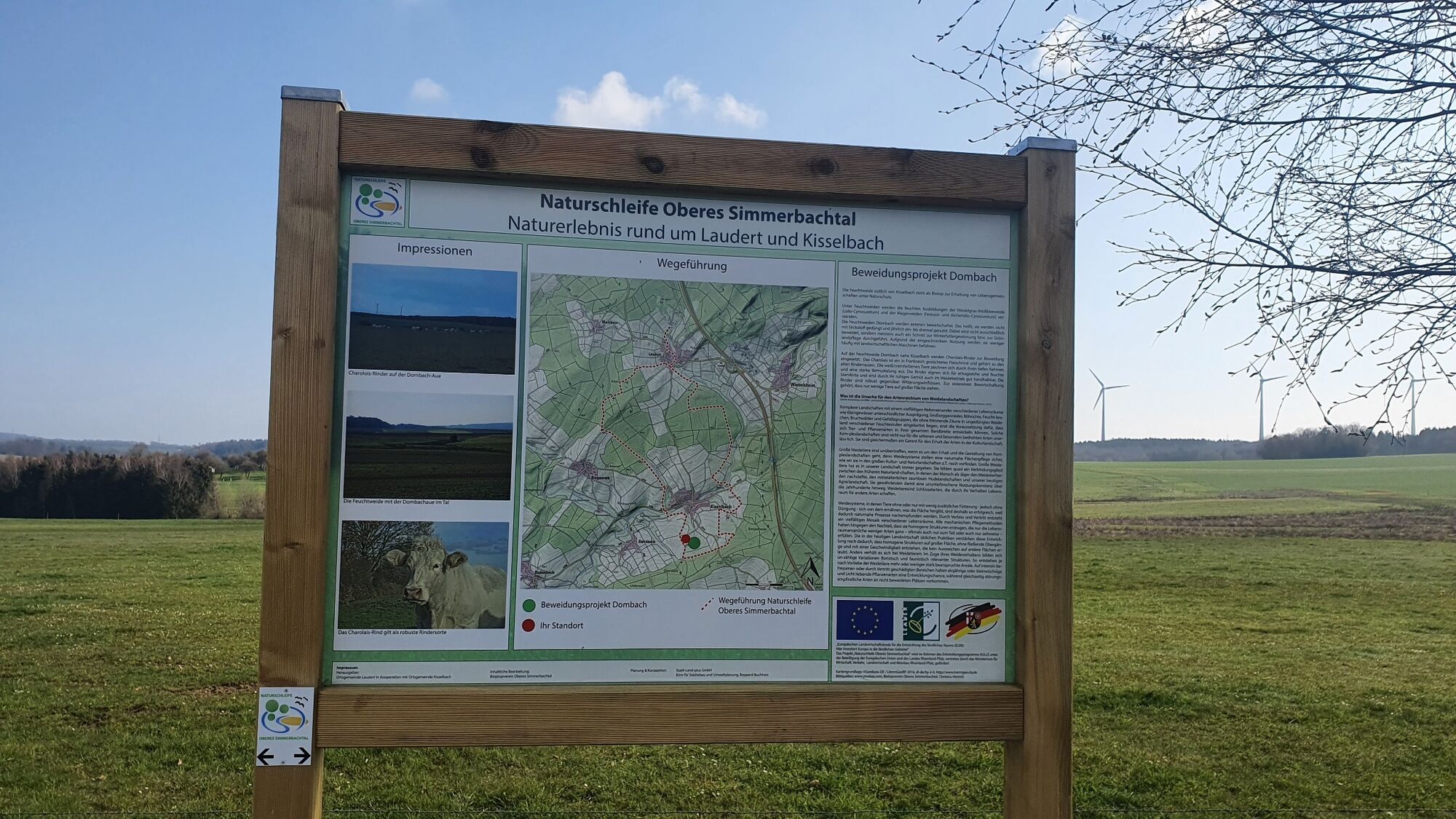
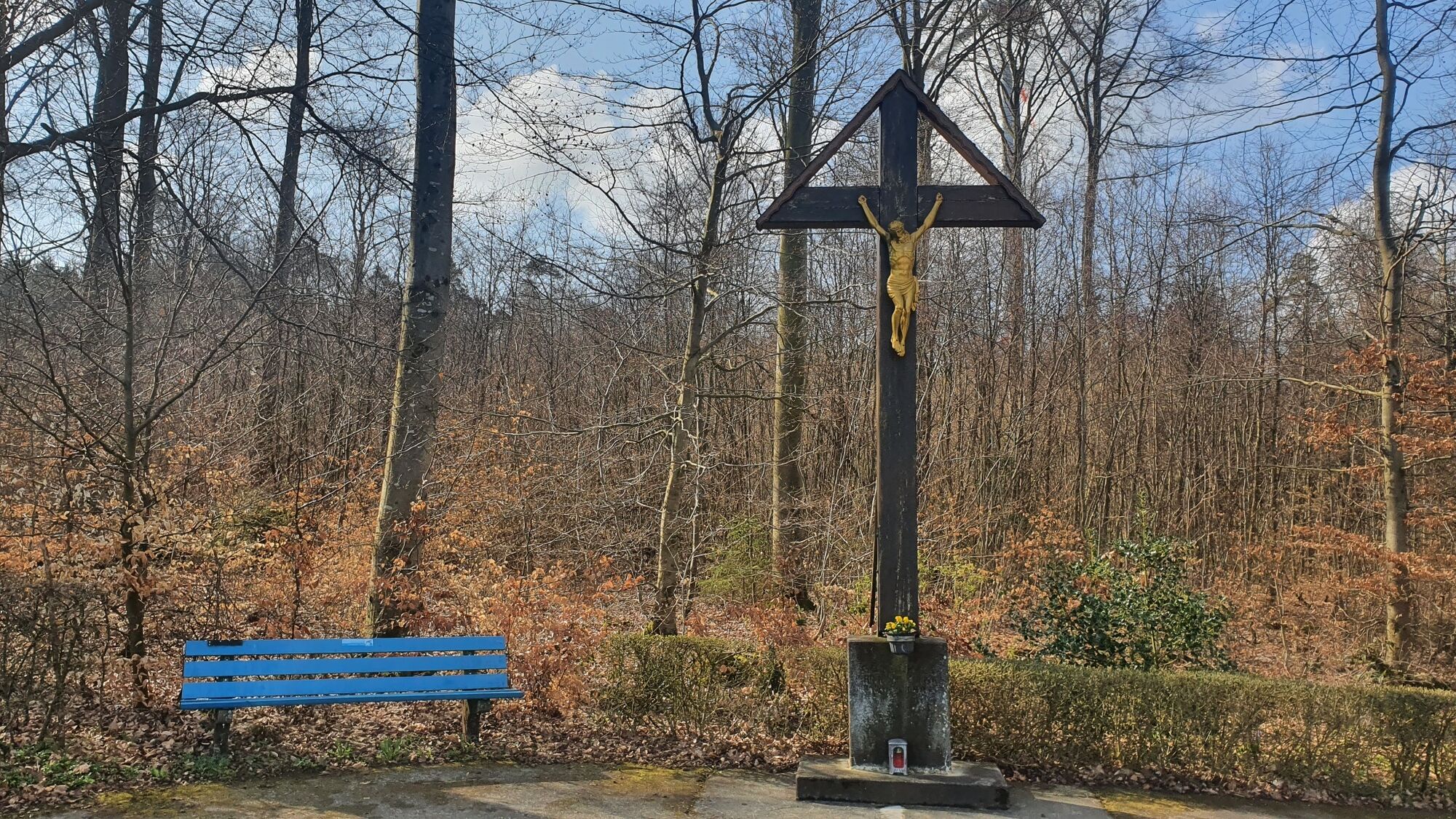
From agriculturally cultivated fields and pastures, the paths lead along untouched biotopes, through mixed forest areas, up to stream meadows. Due to the topography, there are also wide views with interesting village silhouettes to enjoy, but the paths do not have to overcome major inclines. Information panels at the roadside convey much interesting information about the fauna and flora of the region. Numerous rest areas with benches invite you to linger with great views.

Ja
Ja
Extraordinary: The chamber pot museum in Laudert and ... an XXL bench! See "how small the world is"
Populære turer i nabolaget
-
Lingerhahn - Hängeseilbrücke Geierlay
middelsSykling 28,1 km -
5,0
Traumschleife Mittelrhein
tungVandring 14,7 km -
5,0
Dream Loop Upper Baybach Valley
tungVandring 15,6 km -
4,8
Dommershausen - Steffenshof - Schmausemühle - Beltheim
tungVandring 10,4 km -
Stadtmauerrunde BACHARACH
lysVandring 9,20 km -
5,0
Traumschleifchen Baybachquellen
lysVandring 6,22 km -
Traumschleife Mittelrhein
tungVandring 14,7 km -
Dream Loops Quartet in the Baybachtal
tungVandring 21,3 km -
Traumschleife Schwede-Bure
middelsVandring 11,9 km -
5,0
Traumschleifchen Pfalzblick
lysVandring 5,68 km
Vandring og sporing


Ikke gå glipp av tilbud og inspirasjon til din neste ferie
E-postadressen din har blitt lagt til på adresselisten.