


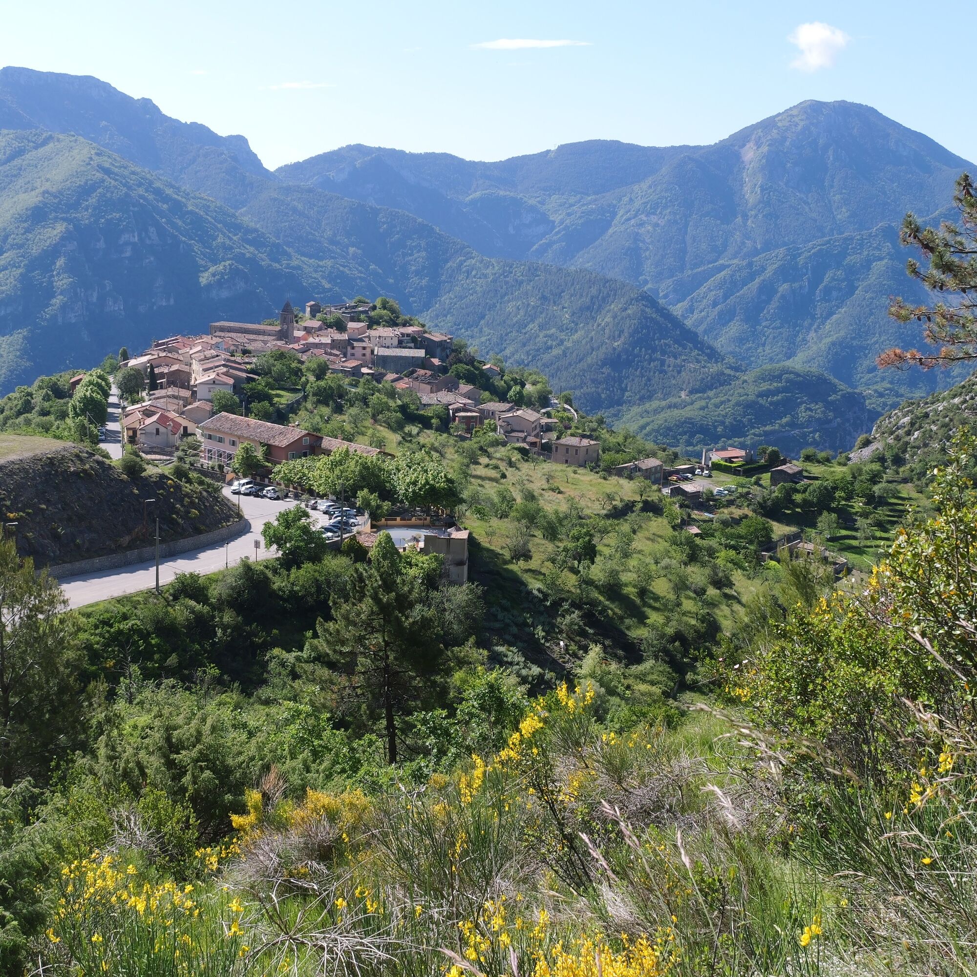
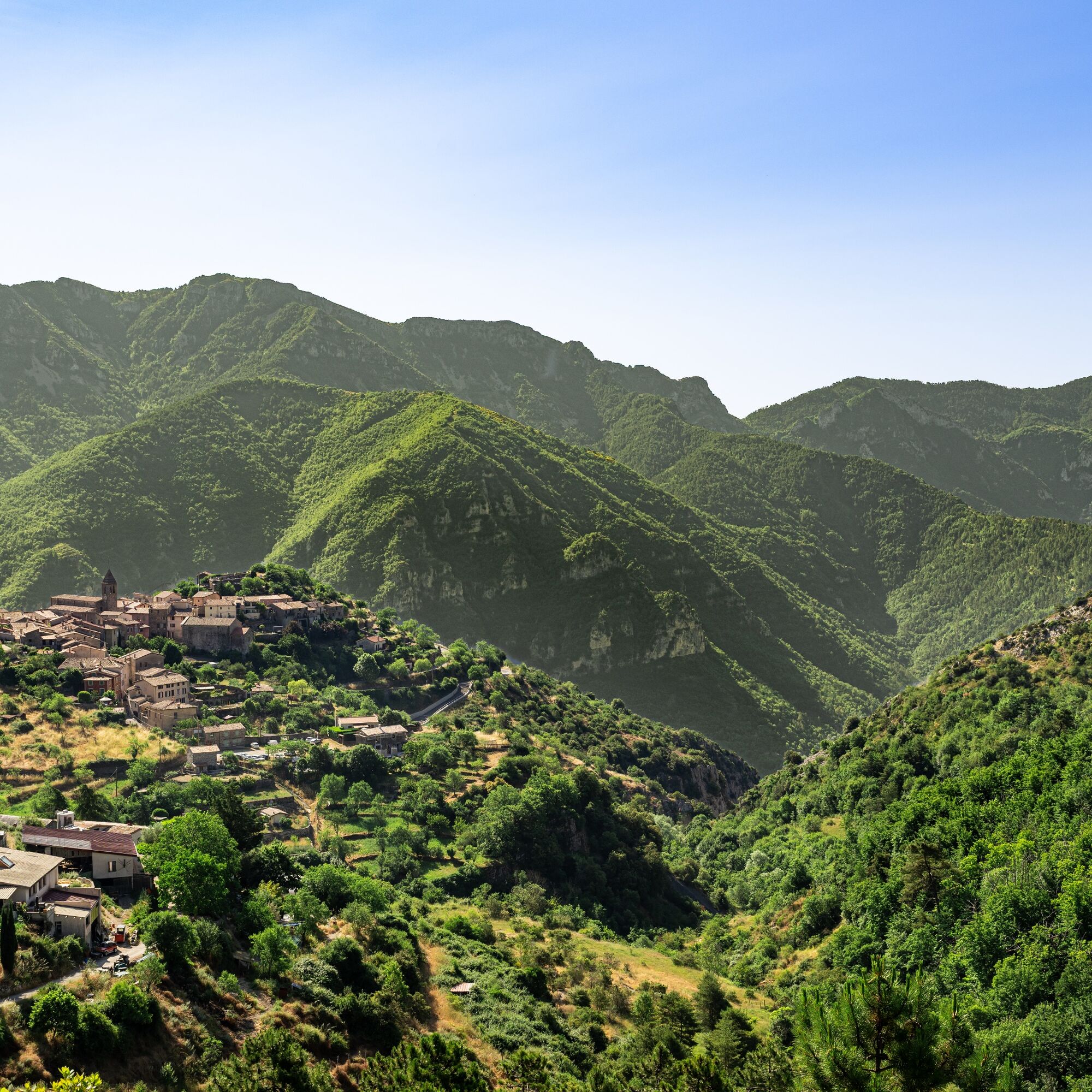
It is here that the Vésubie and the Gordolasque meet. The Gordolasque valley leads to the Pas de Pagari, a pass known to be dangerous. Through this valley, one can also access the Vallée des Merveilles.
In...
It is here that the Vésubie and the Gordolasque meet. The Gordolasque valley leads to the Pas de Pagari, a pass known to be dangerous. Through this valley, one can also access the Vallée des Merveilles.
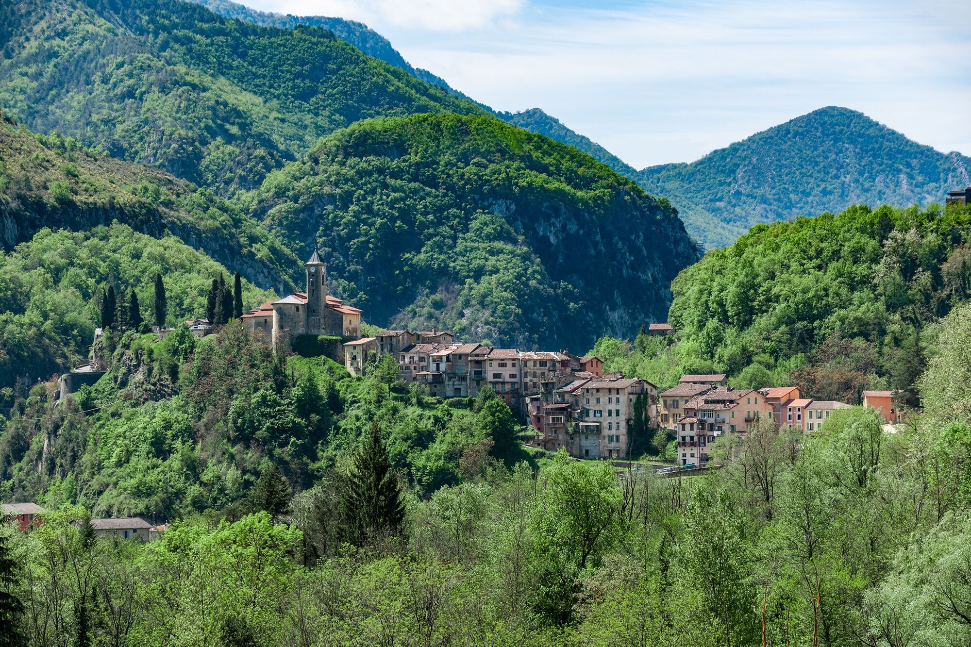
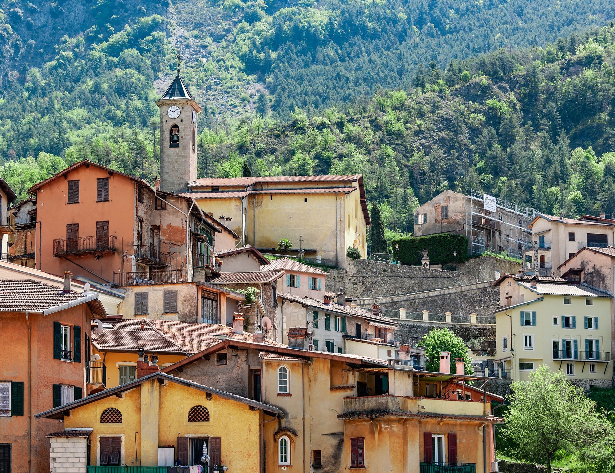
In the Middle Ages, Roquebillière was established on the left bank of the Vésubie. However, the village was a victim of regular landslides. Following a catastrophic landslide in 1926, the village was moved to the other bank.
Not to be missed on this stage:
Chapelle Saint-Blaise Lantosque Roquebillière le vieux Vallée de la Gordolasque (Accès à la vallée des merveilles) Pas de Pagari Saint Clare's Chapel (An alternative route from Nice à Lucéram débouchait ici) Spéléomante de strinati (Natura 2000 site) Traditional carnival (in February, it's carnival in Vésubie, this medieval tradition is still very strong in the valley. In Belvedere, on Mardi Gras day, it's polenta! Young people spend the night in the streets waving pikes decorated with goat bells. In Saint-Martin-Vésubie, the carnival is the object of an important codification with characters and moments inherited from ancient times: the tour of the biffou, the abbats, the herald, the ambiguts, the cremation of the king...)

Follow the signs on the posts with the pink "Route du sel" logo.
Ja
Suitable walking shoes are highly recommended
Please bring water, a cap, provisions, waterproof and warm clothing
A flashlight or headlamp in case of a tunnel or to avoid being caught out by nightfall
A first-aid kit.
Before you go:
Find out about the local weather before you go
Inform someone close to you of your walking goal and departure time
Verify that the length, level of the route and time of travel match their level of experience before you commit and don't overestimate your abilities
During your hike :
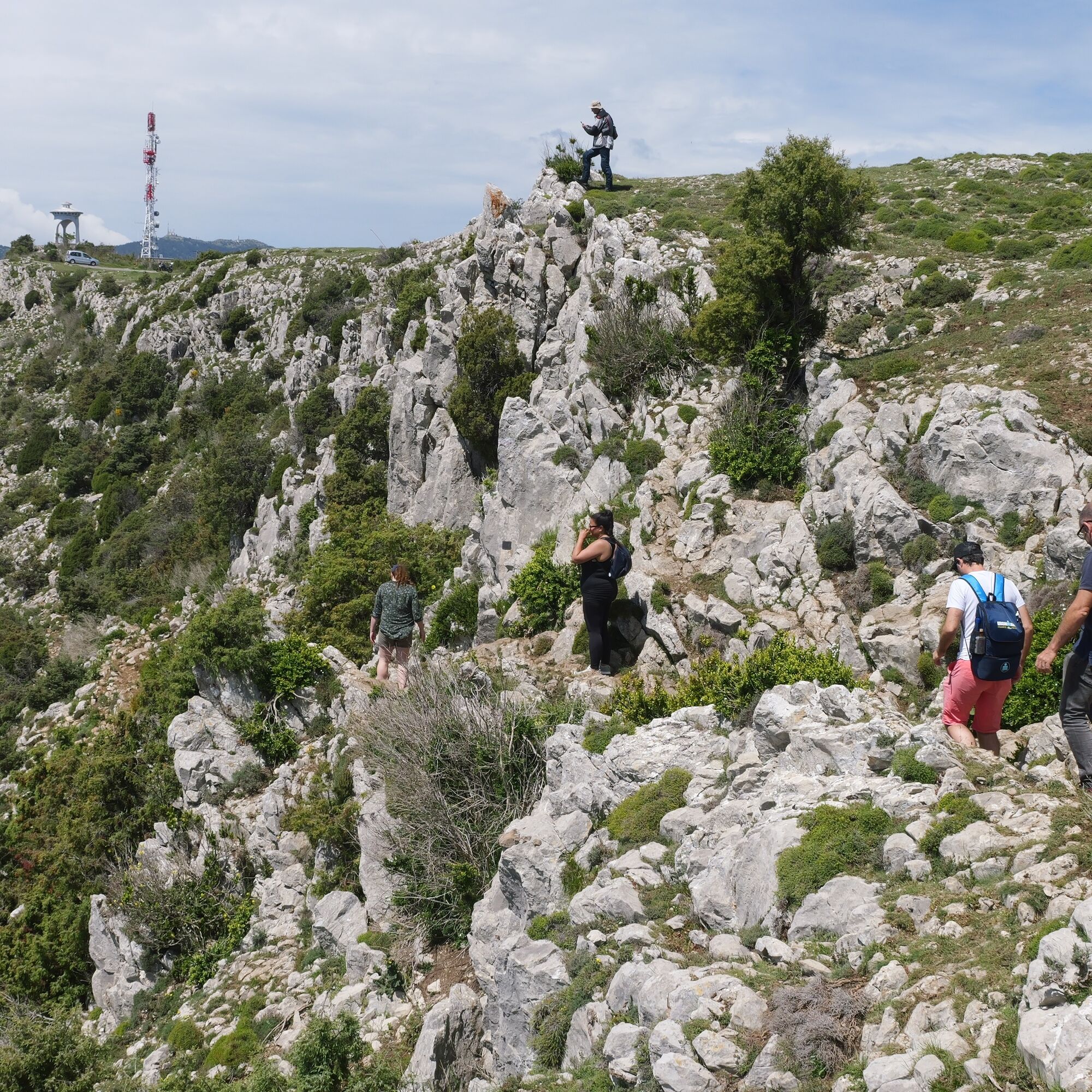
Take the marked paths and respect the direction of the routes
Trails are shared: bikers, horse riders and hunters may use your route
You may encounter flocks of sheep at the pâturage. Protection dogs are used to protect them from any aggression. The golden rule: stop and keep your distance from the flock. Take the time to go around it calmly.
Be extra careful during the hunting season and find out about ongoing hunts.
Have an eco-citizen behaviour: carry your waste, be discreet not to scare wild animals and do not pick wildflowers or plants, a photo is a sufficient souvenir
Respect private property, cultivated areas and natural spaces and close fences after you have passed
On hot days, vegetation is very sensitive to the risk of fire, do not light fires, you are endangering your safety and that of others
To alert emergency services, dial 112
Accessible by car
Accessible by cab
Think about carpooling
Public transport within the Nice Côte d’Azur Métropole is provided by the lignes d’azur network, to consult the site click here : www.lignesdazur.com.
Volume 1, by Nice à Cuneo follows the footsteps of our fictional hero, Artémio, on the old Pagarin Road. Have fun discovering the heritage linked to the salt routes in Nice by downloading the "Explor Games" app and choose the "Intrigue" puzzle game.
Find out more about the accommodation here: https://www.explorenicecotedazur.com/preparer/hebergements/
On the Roquebillière stage: Hôtel Le Saint Sébastien / Village Vacances - Les Portes du Mercantour / Camping Les Templiers
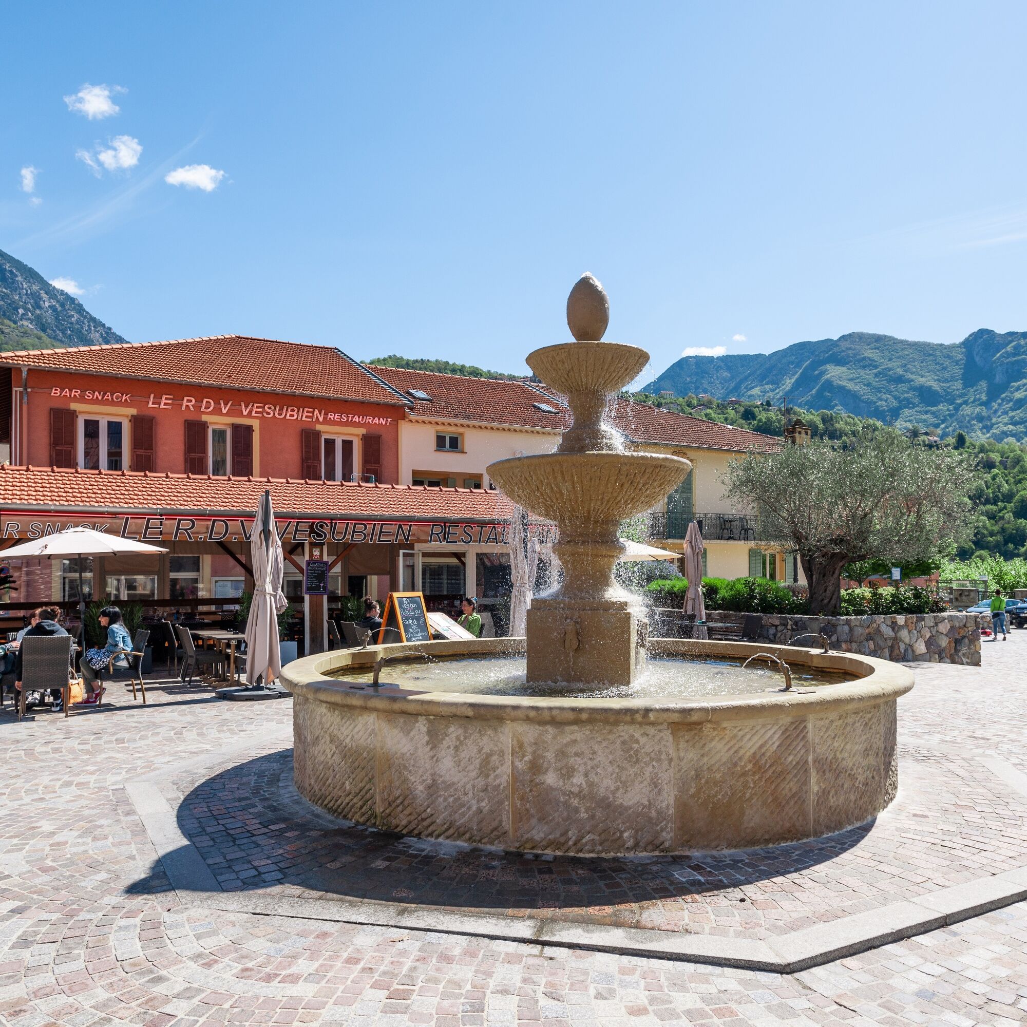
Recommended restaurants in Roquebillière: Snack l'Embegu
All the outdoor activities in the Nice Côte d'Azur region can be found at outdoor.nicecotedazur.org.
Populære turer i nabolaget
-
FFC MTB circuit no. 4b: Le Turini
middelsTerrengsykkel 32,0 km -
The Salt Routes: The Pagarine Route
middelslangdistanse tursti 159,7 km -
FFC MTB track no. 2: La vacherie de Férisson
tungTerrengsykkel 28,0 km -
Circuit Valdebore - Col de la Medleine - St. Dalmas - Valdebore, Provence-Alpes-Côte d'Azur/Frankreich
middelsVandring 12,2 km -
Circuit VTT FFC n°4d : Le Turini
tungTerrengsykkel 45,5 km -
Circuit VTT FFC n°6 : Le collet des Sausses
middelsTerrengsykkel 7,39 km -
5,0
FFC cycling route no. 32: La boucle des 2 vallées depuis St.Sauveur/Tinée
tungRennrad 117,8 km -
Circuit VTT FFC n°21a : Les granges de la Brasque
tungTerrengsykkel 41,2 km -
Itinerary n°1 - 2 days - Stage 2 Isola Village - Nice
tungRennrad 139,4 km -
5,0
Goldtoni - Alpenbogen A080 Saint Sauveur Sur Tinée-Utelle
middelslangdistanse tursti 40,7 km
Vandring og sporing


Ikke gå glipp av tilbud og inspirasjon til din neste ferie
E-postadressen din har blitt lagt til på adresselisten.