


Vanskelighetsgrad: T2


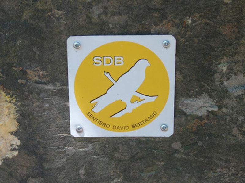
The path, adopted by the AIB (Forest Fire Prevention) teams, WWF, and the CAI (Italian Alpine Club), is dedicated to David Bertrand, a young AIB born in Roletto who died in the Provincial Park "Monte San...
The path, adopted by the AIB (Forest Fire Prevention) teams, WWF, and the CAI (Italian Alpine Club), is dedicated to David Bertrand, a young AIB born in Roletto who died in the Provincial Park "Monte San Giorgio" during the Piossasco fire in 1999.

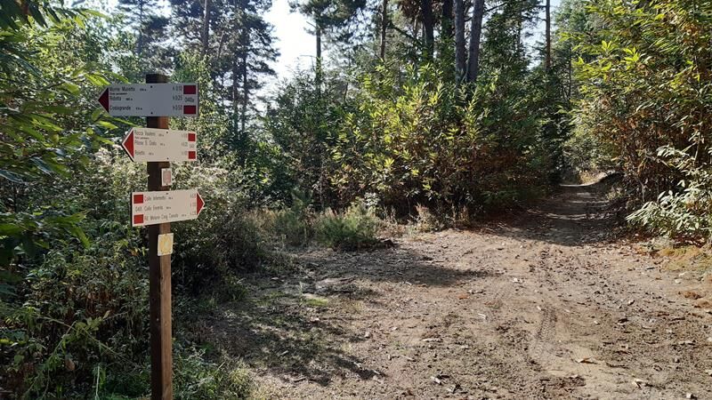
Walk along via Costa for 400 m, then take via Ribetti, ascending for a long stretch up to house number 31. Now leave the paved road and climb the meadow on the right, staying at the edge, reaching the boundary wall of the house above; follow it uphill on the right until you intersect a flat dirt road. Turn right and, upon reaching a gate, start climbing again on the left and soon reach a paved road. Proceed along via Verdi to reach the Vasca Rocca Muretto (aqueduct), beyond which you follow a boundary wall to find the path that climbs to the left of another fence.
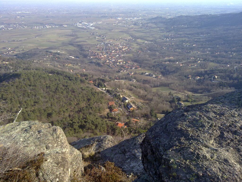
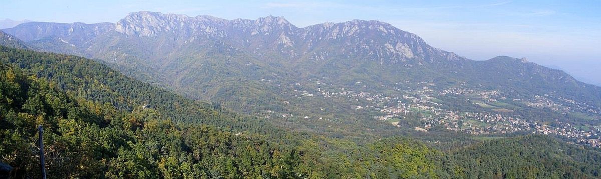
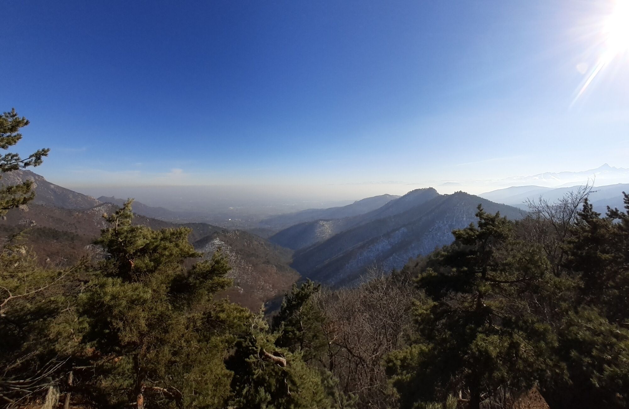
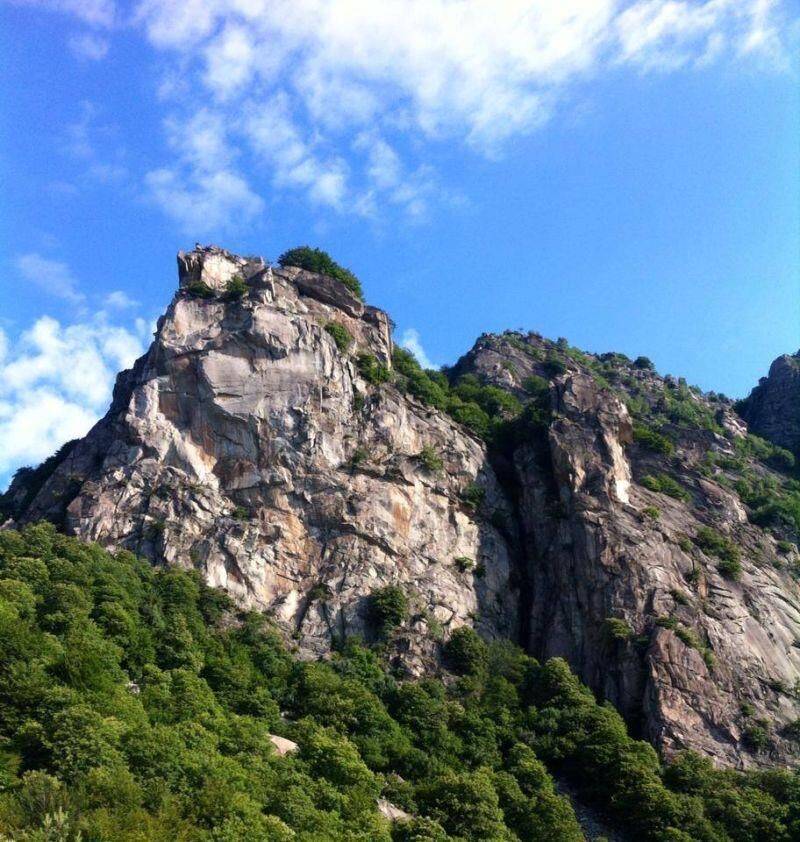
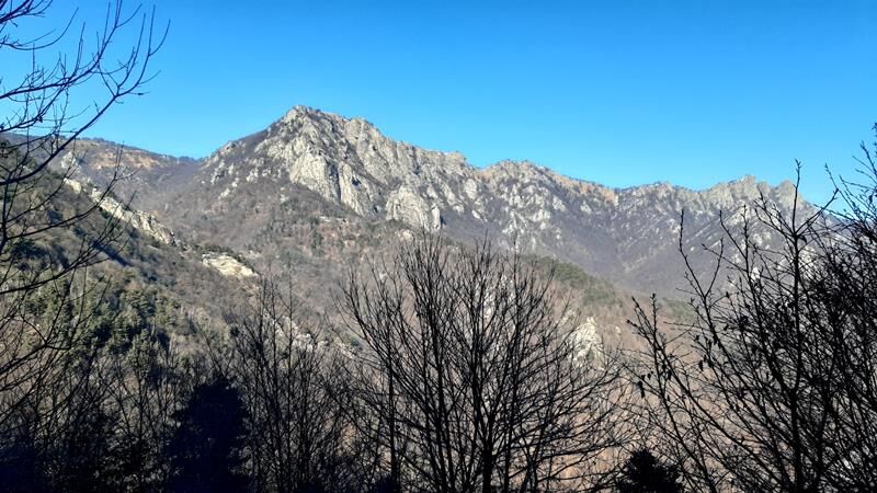
Once at Rocca Vautero, leave it on the right. The path initially climbs quite steeply, then on flat ground passes under the Montagnetta, a take-off point for paragliding enthusiasts. The clear trace, which sometimes resembles a forest road, leads to the Infernetto Pass; here a dirt road on the left descends to the Talucco hamlet, while our route turns right and, with moderate ups and downs, reaches the Hermit's Pass.
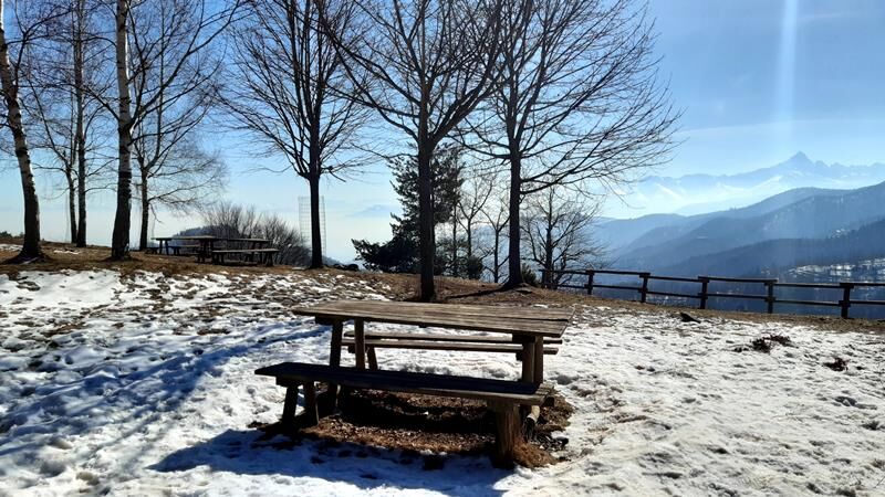
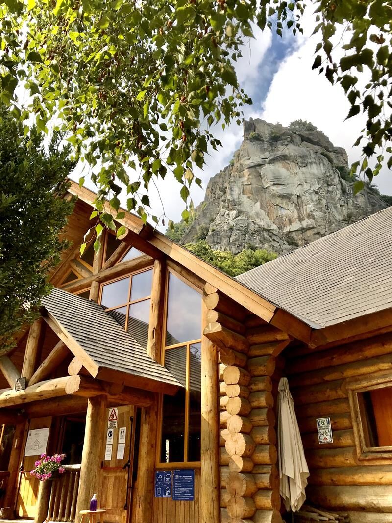
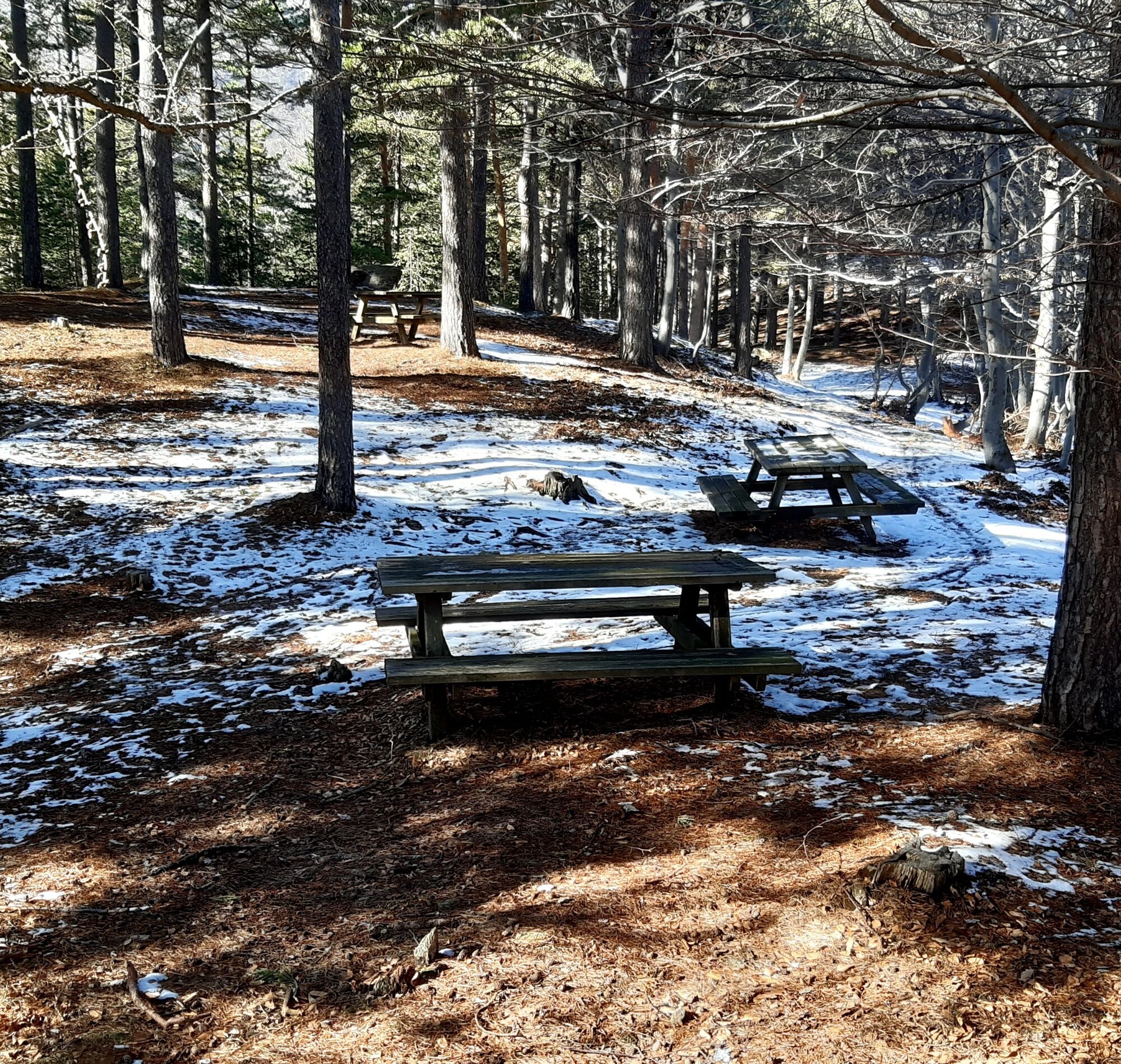
Now the path turns right and begins to climb steadily, bordering a low wall in its initial stretch. The long ascent ends just below the wide and wooded ridge; after a flat stretch, an equipped area and the underlying Ciardonet Pass are reached. Here the route is temporarily abandoned by descending right along the dirt road which in 20 minutes leads to the Melano/Casa Canada refuge, a stopping point.
Ja
Appropriate clothing and equipment are recommended.
Upon arriving at Pinerolo following the A55 for those coming from Turin, continue on State Road 589 heading towards Roletto until you reach the town center.
There are several free public parking lots in the town center
T2
Before undertaking any hike, it is recommended to check the weather reports or ask for information at local Tourist Offices.
It is good practice not to hike alone and always inform someone about your destination.
Do not litter but carry your waste with you, also collecting any left by others.
The indicated travel times are approximate and may vary based on weather conditions and personal ability.
It is possible to continue the route reaching Monte San Giorgio Park (the place where the young man died), up to the Casa Martignona locality in the Municipality of Piossasco.
Populære turer i nabolaget
-
PRAROSTINO From Piani to Sonagliette and back - SLOWLY TOGETHER
lysVandring 6,60 km -
Easy route - Monte Cuneo (Moncuni) Loop route from Reano
lysVandring 7,97 km -
PERRERO The lakes of Conca Cialancia
tungTerrengsykkel 21,6 km -
PINASCA Ring of Grandubbione
middelsSykling 28,8 km -
PRAROSTINO Faro della Libertà Walk
lysVandring 3,60 km -
ROLETTO Upslowtour - Ring 15 Pedemontano
tungSykling 29,8 km -
BRICHERASIO Upslowtour - Loop 13 of the Ridges
middelsSykling 38,2 km -
SAN GERMANO CHISONE Lazzarà Hill Ring
tungTerrengsykkel 29,6 km -
The Strade dei Forti - stage 5 from San Germano Chisone to Perosa Argentina
tungPilegrimsrute 15,8 km -
PINEROLO towards Canada
middelsVandring 15,2 km

Vandring og sporing


Ikke gå glipp av tilbud og inspirasjon til din neste ferie
E-postadressen din har blitt lagt til på adresselisten.