


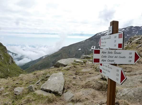
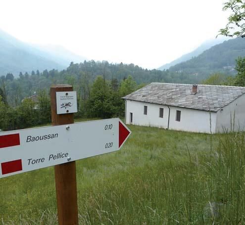
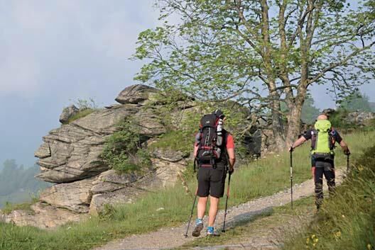
A loop that runs through the entire Angrogna valley in 3 stages, with departure and arrival at Torre Pellice, passing through Rognousa, and the refuges of Jumarre, Sap and Barfè. The vertical signposts...
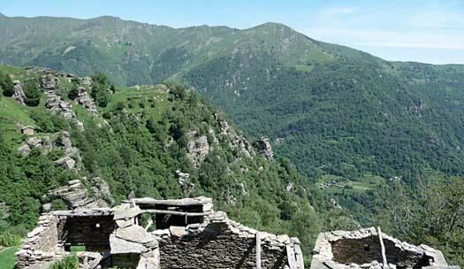
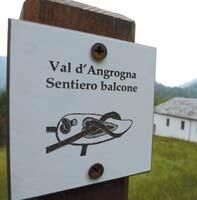
A loop that runs through the entire Angrogna valley in 3 stages, with departure and arrival at Torre Pellice, passing through Rognousa, and the refuges of Jumarre, Sap and Barfè. The vertical signposts along the entire itinerary are distinguished by a logo reproducing a “tacoula”, a small agricultural tool typical of Angrogna valley, and by the words “Sentiero balcone” (Balcony Path). 1ST STAGE: Torre Pellice (544 m) - Cresta di Rougnousa (1310 m) (crest) - Colle della Vaccera (1465 m) (pass) Departure from the "Appiotti" small square, near the bridge over the Angrogna stream. Take the municipal road towards Angrogna until you reach Baussan. Then, following the signs, go uphill, partly on the road or on a dirt track, reaching and passing in succession the hamlets of Rocciamaneud, Vernet and Isoardi. Then continue on the dirt track that brings you close to the crest of Angrogna – Chiamogna – Chisone valley watershed, until you reach the panoramic point of Castelletto. From here it is...
Appropriate clothing and equipment recommended.
Direction of travel: Counterclockwise - Cyclability:
Populære turer i nabolaget
-
5,0
BOBBIO PELLICE Upslowtour - Ring 2 of the refuges
tungSykling 37,6 km -
The Fort Roads - stage 11 from Massello to Prali
tungPilegrimsrute 13,7 km -
PRALI Rocca Bianca Loop
tungTerrengsykkel 17,9 km -
PRAROSTINO From Piani to Sonagliette and back - SLOWLY TOGETHER
lysVandring 6,60 km -
PERRERO The lakes of Conca Cialancia
tungTerrengsykkel 21,6 km -
VILLAR PELLICE Inverso path
lysVandring 5,62 km -
LUSERNA S.G. Upslowtour - Luserna Stone Loop 9
middelsSykling 38,1 km -
PINASCA Ring of Grandubbione
middelsSykling 28,8 km -
PRALI Thirteen Lakes - Giulian Hill - Villanova
middelsTerrengsykkel 19,0 km -
TORRE PELLICE Hike to Bars d'la tajola (and Monte Castlus)
middelsVandring 4,40 km

Vandring og sporing


Ikke gå glipp av tilbud og inspirasjon til din neste ferie
E-postadressen din har blitt lagt til på adresselisten.