


The route starts in Chiapili di Sopra where a barrier blocks car access. The ascent mainly follows the road path: this allows a climb with never too steep slopes, although in some sections the overhanging...
The route starts in Chiapili di Sopra where a barrier blocks car access. The ascent mainly follows the road path: this allows a climb with never too steep slopes, although in some sections the overhanging slopes are steep. On the way up, on your left you leave the wide and suggestive lateral valley of Carro. It is not uncommon to spot some wildlife species such as chamois, ibex, and foxes.
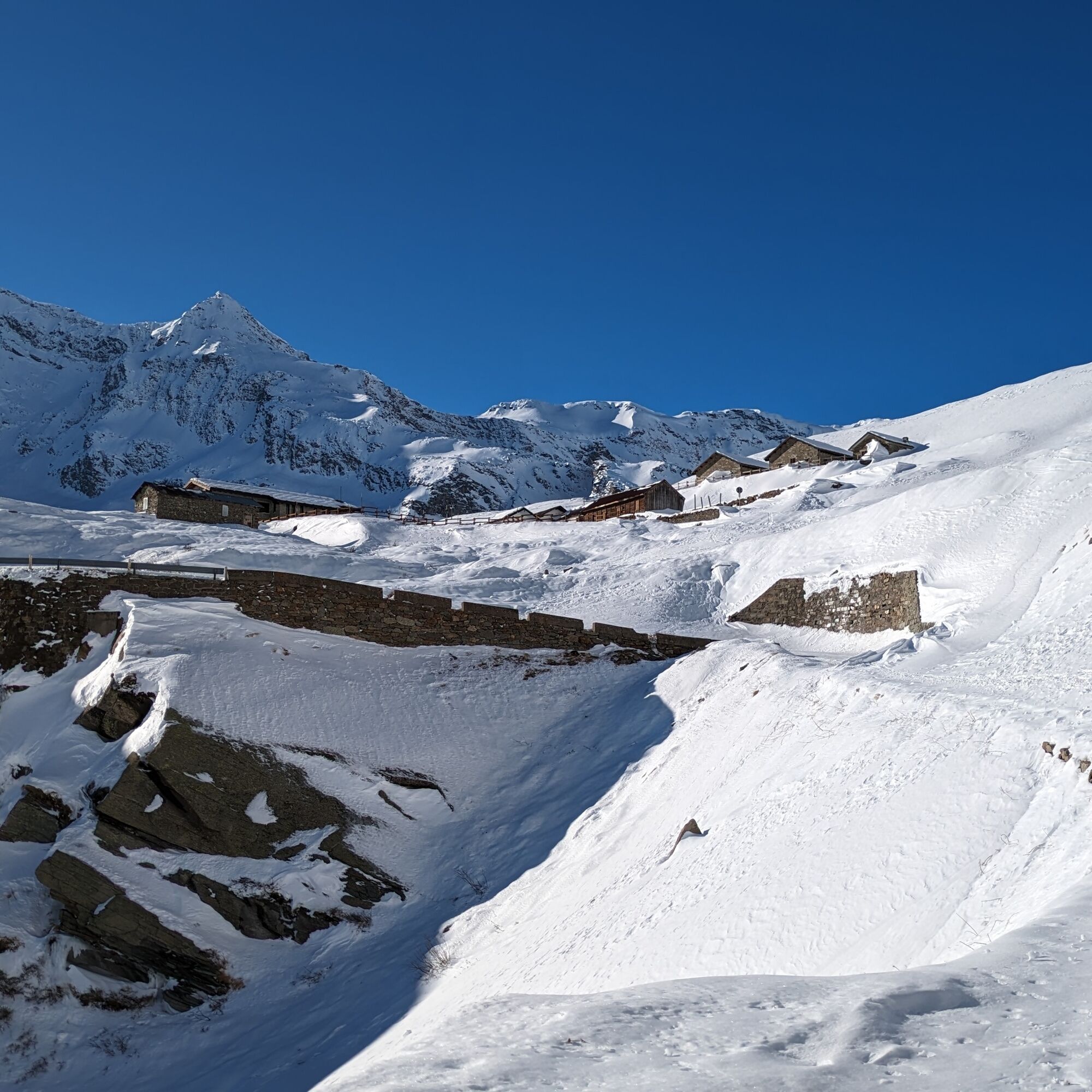
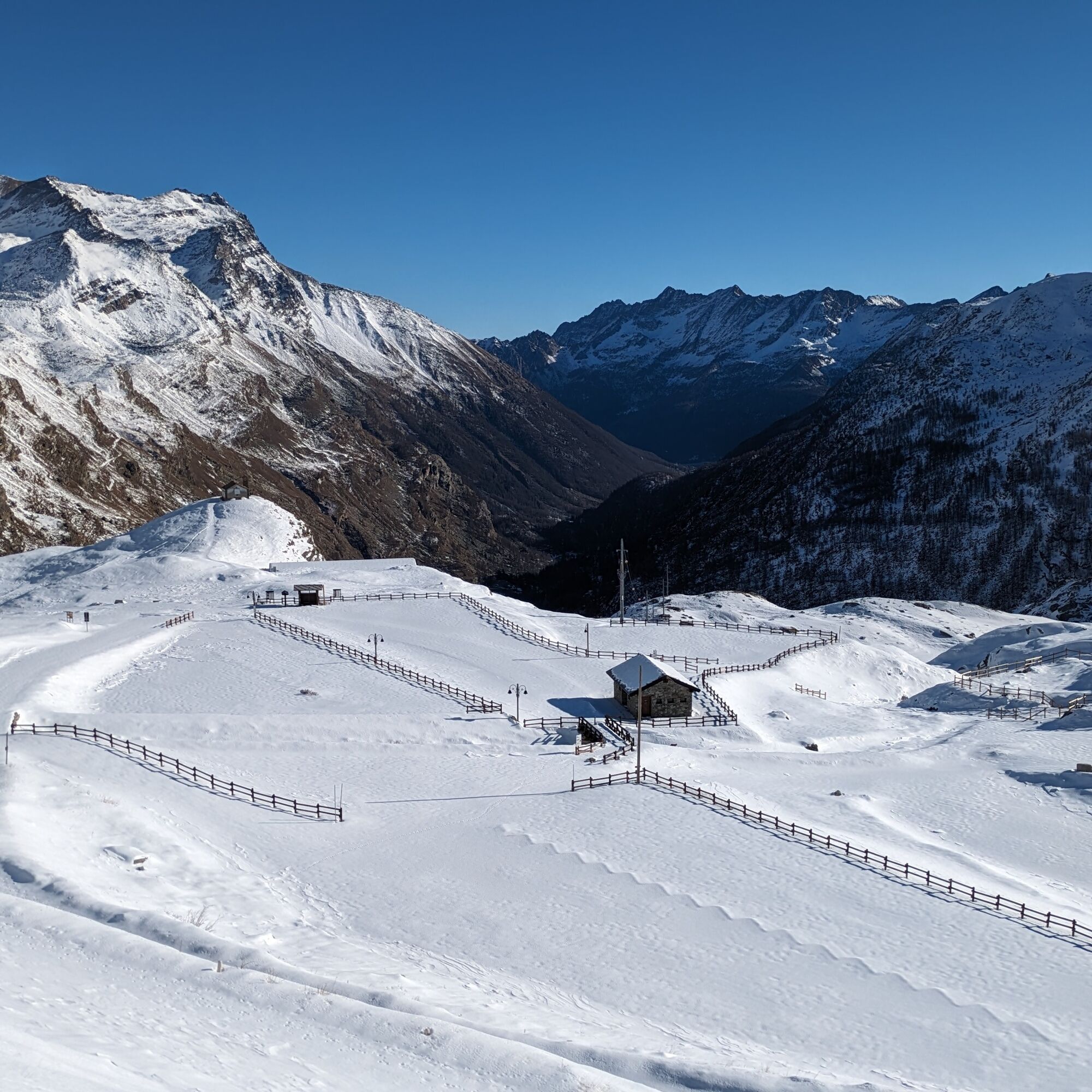
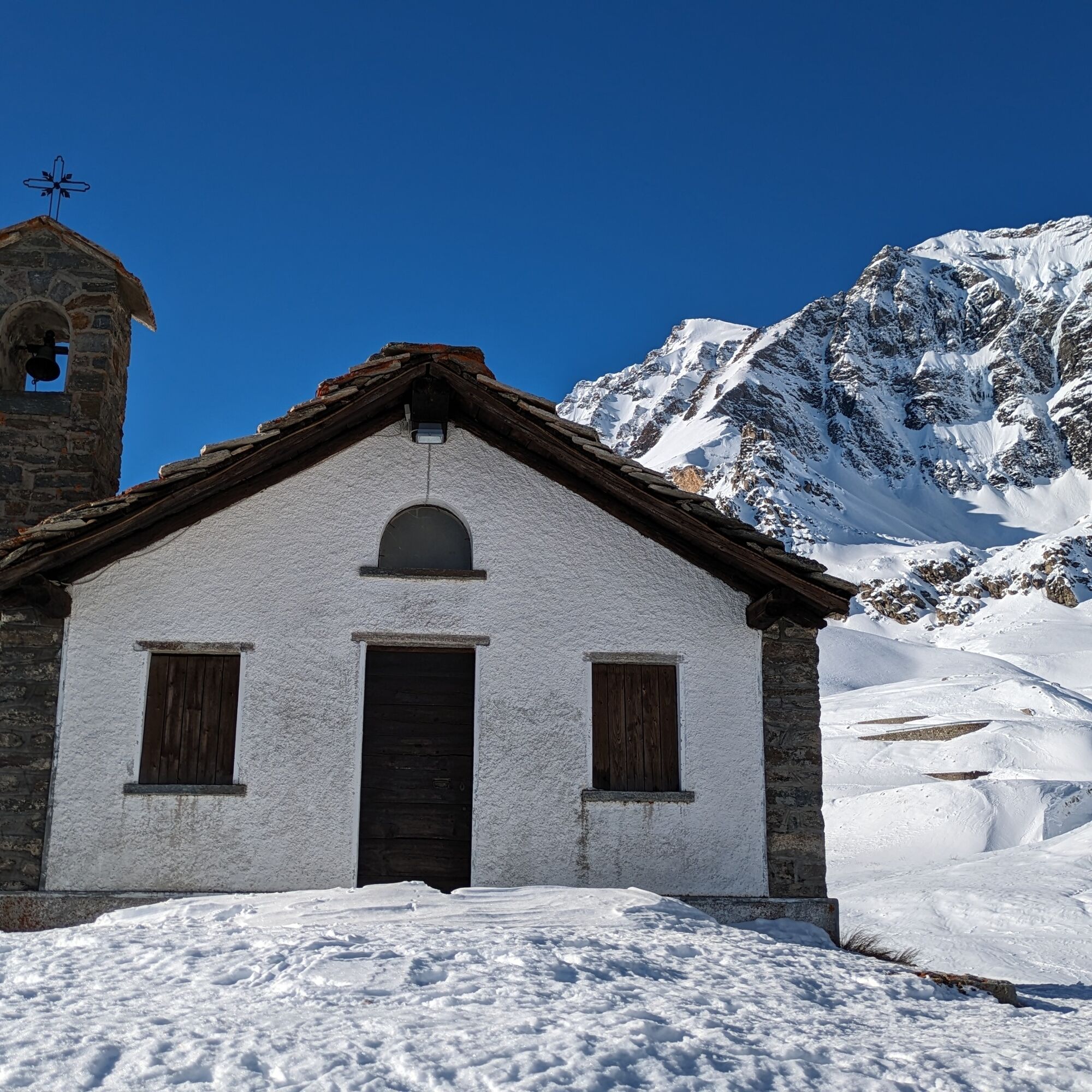
Near the Serrù lake there is the chapel of Madonna della Neve placed in a panoramic position.
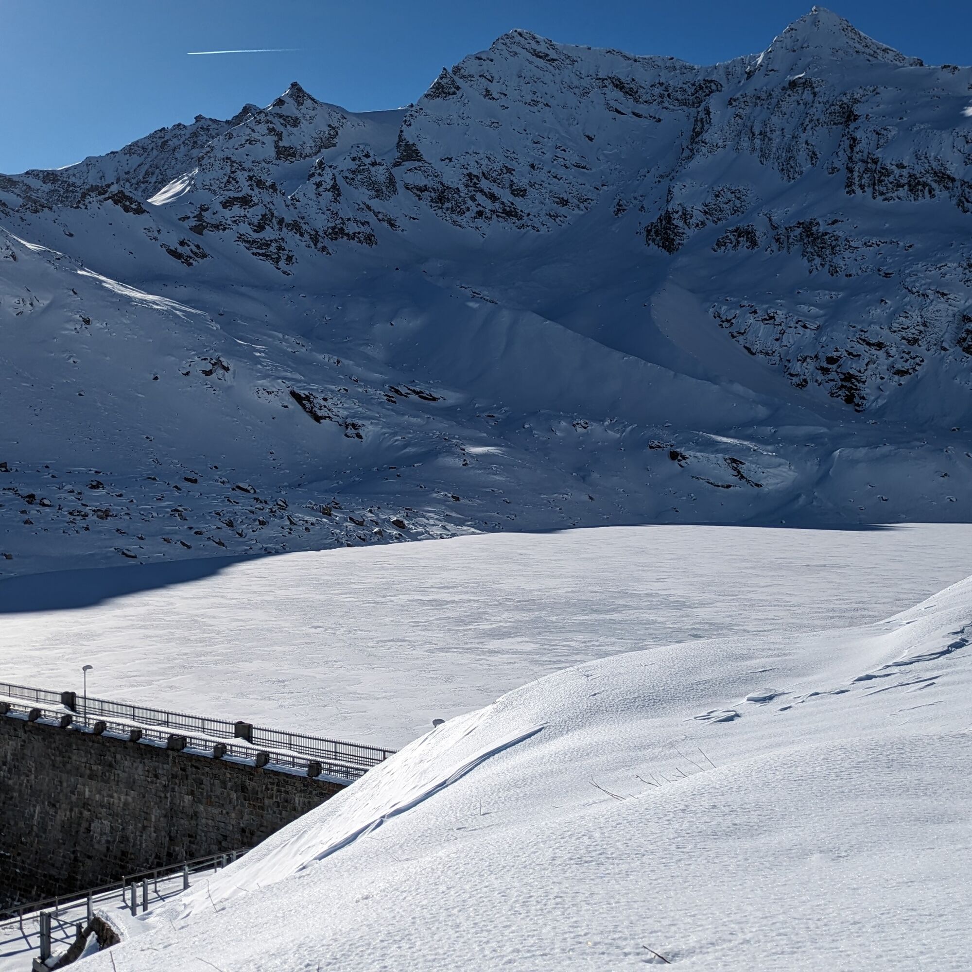
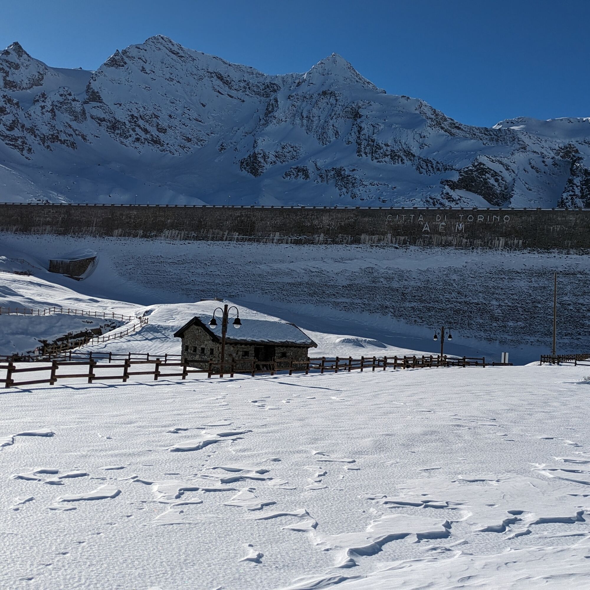
To observe the (frozen) lake beyond the dam, go up some hairpin bends to the junction for the glaciological path (walking on the dam is not allowed).
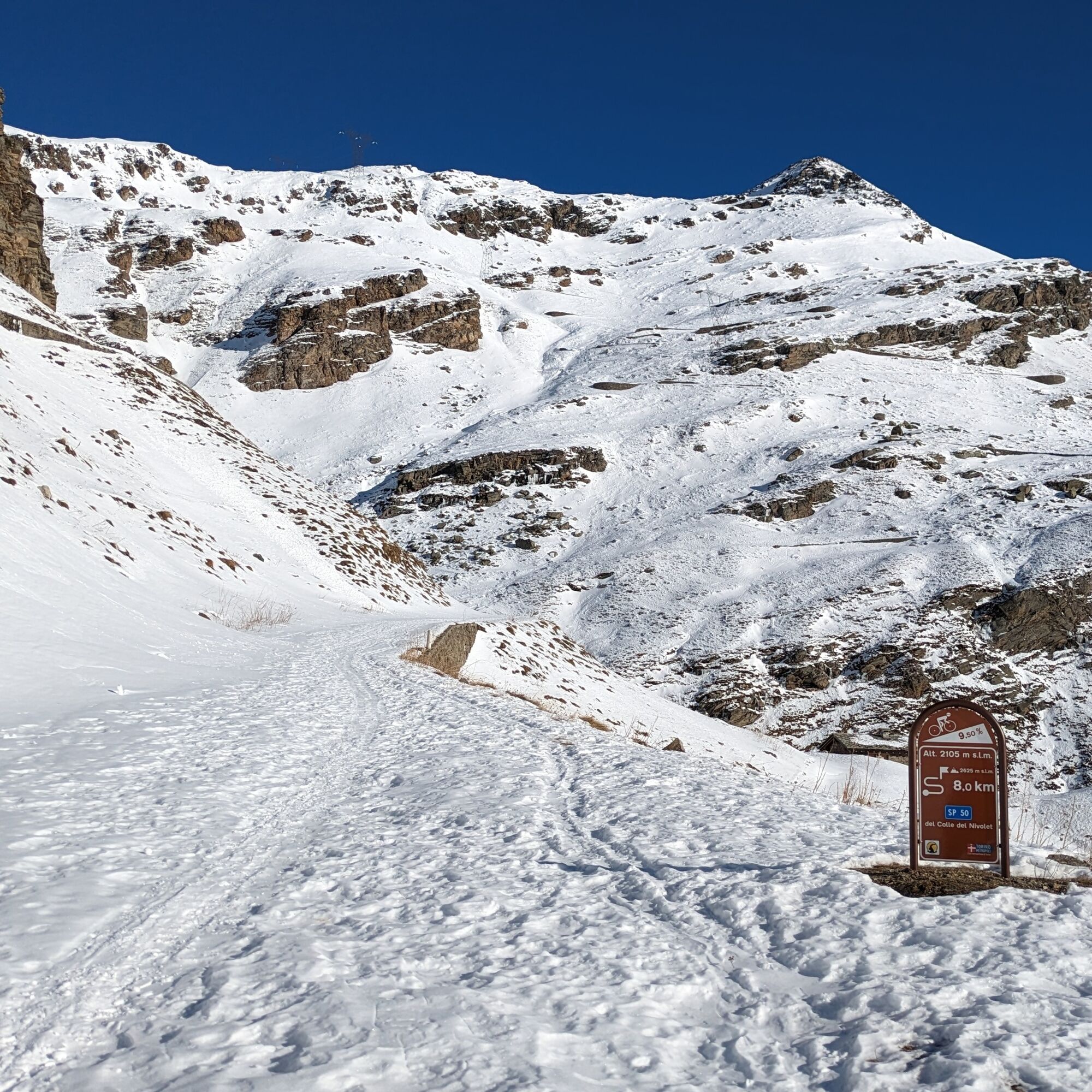
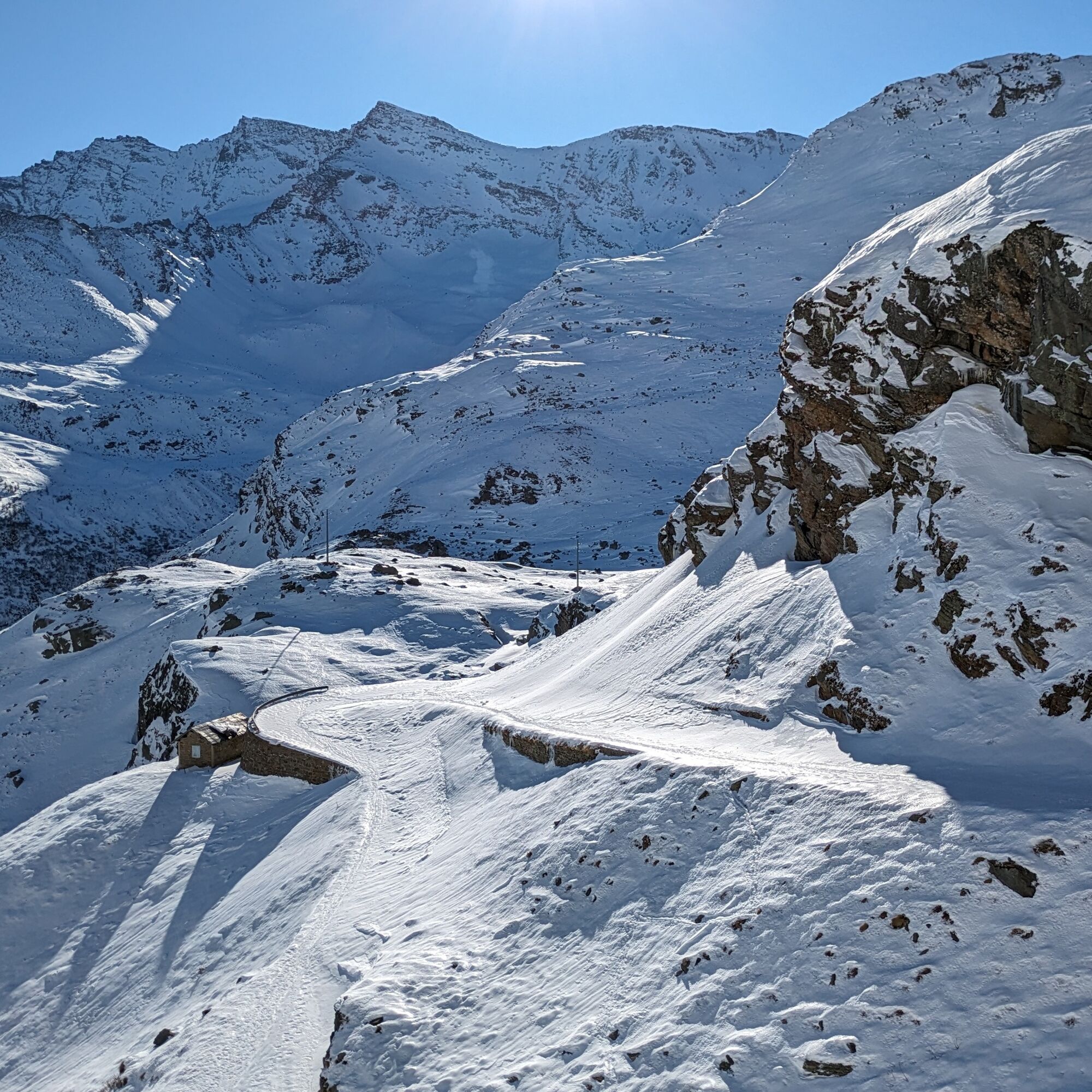
After passing the barrier on the road, follow the road that in summer reaches the dams.
Ja
Snowshoes, telescopic poles with larger baskets, avalanche kit (ARTVA, shovel and probe), comfortable, sturdy, and waterproof winter boots, gaiters if necessary, warm outdoor layered clothing, waterproof jacket and pants, hat / headband, gloves, sunglasses, snacks and drinking water, thermos flask with a hot drink, first aid kit, flashlight, sun cream.
Before undertaking any hike it is recommended to:
- get information from the Tourism Offices, the Gran Paradiso Natural Park or the Alpine Guides
- check the weather and avalanche bulletins from AINEVA
Excursion to be undertaken only with safe snow since there are gullies that can release avalanches onto the route.
From Cuorgnè reach Ceresole Reale via state road 460. Pass through the town of Ceresole Reale and continue on the provincial road up to the hamlet of Chiapili di sopra
Near the village some roadside parking spots are indicated
Populære turer i nabolaget
-
CERESOLE REALE Bellagarda ponds
middelsVandring 7,60 km -
3,3
Pont Le Breuil - Rifugio Vittorio Emanuele
middelsVandring 10,5 km -
Gran Paradiso
Skitour 11,8 km -
PIALPETTA Val Grande Balcony Trail loop
middelsVandring 13,1 km -
NOASCA Loop to the Noaschetta refuge
middelsVandring 7,44 km -
Lake Dres - Ceresole Reale
middelsVandring 7,24 km -
Goldtoni - Alpenbogen A120 Pialpette-Ceresole Reale
middelslangdistanse tursti 18,2 km -
Goldtoni - Alpenbogen A121 Ceresole Reale-Maisonasse
middelslangdistanse tursti 32,8 km -
GROSCAVALLO Gran Lago di Unghiasse and Lago della Fertà
tungVandring 14,0 km -
Tresenta
Skitour 15,1 km

Vandring og sporing


Ikke gå glipp av tilbud og inspirasjon til din neste ferie
E-postadressen din har blitt lagt til på adresselisten.