


Vanskelighetsgrad: S1


From Perosa Argentina you cross the Chisone stream and climb to the hamlets on the reverse side, then cross the historic center of Pomaretto, where the famous Ramìe wine is produced. You then take the...
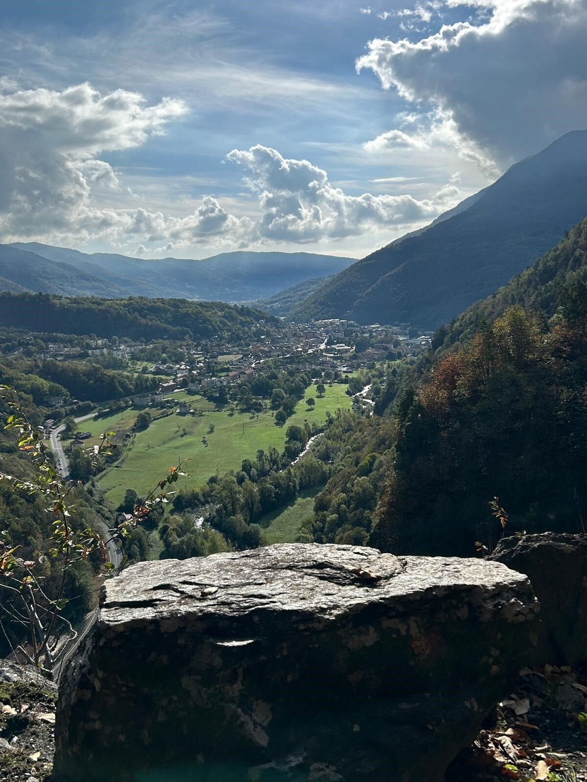
From Perosa Argentina you cross the Chisone stream and climb to the hamlets on the reverse side, then cross the historic center of Pomaretto, where the famous Ramìe wine is produced. You then take the path that, among ups and downs and panoramic terraces, reaches the hamlet of Meano.
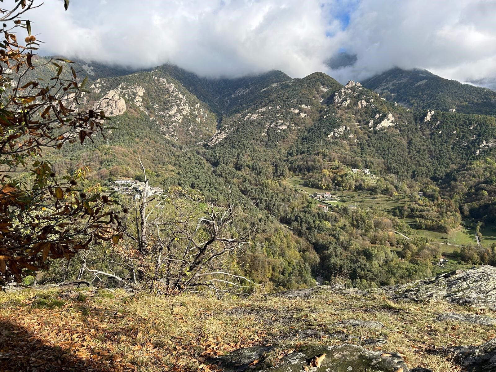
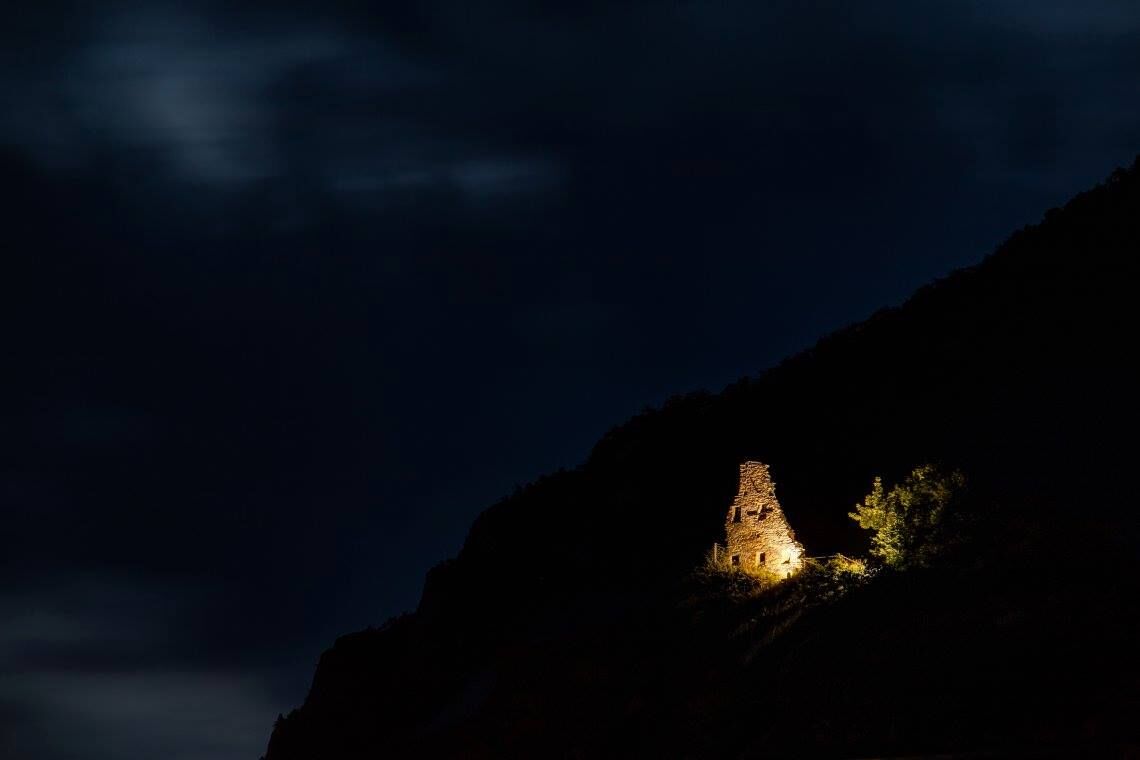
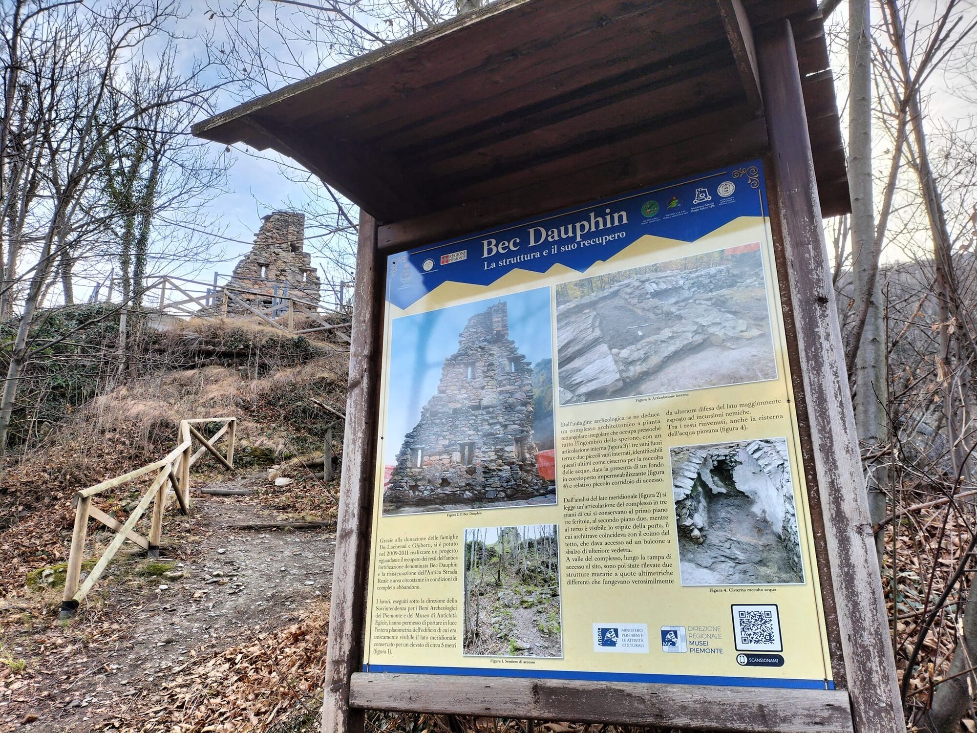
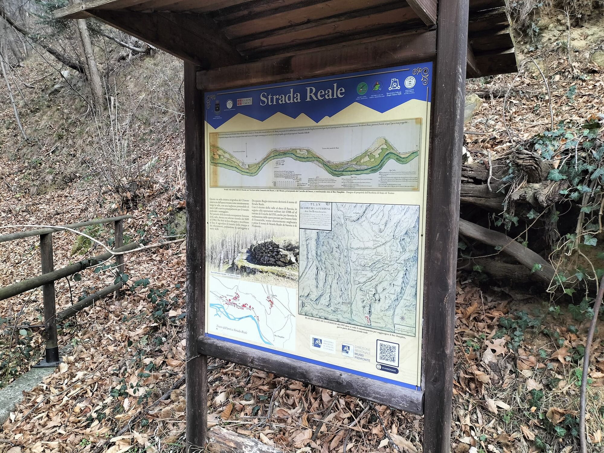
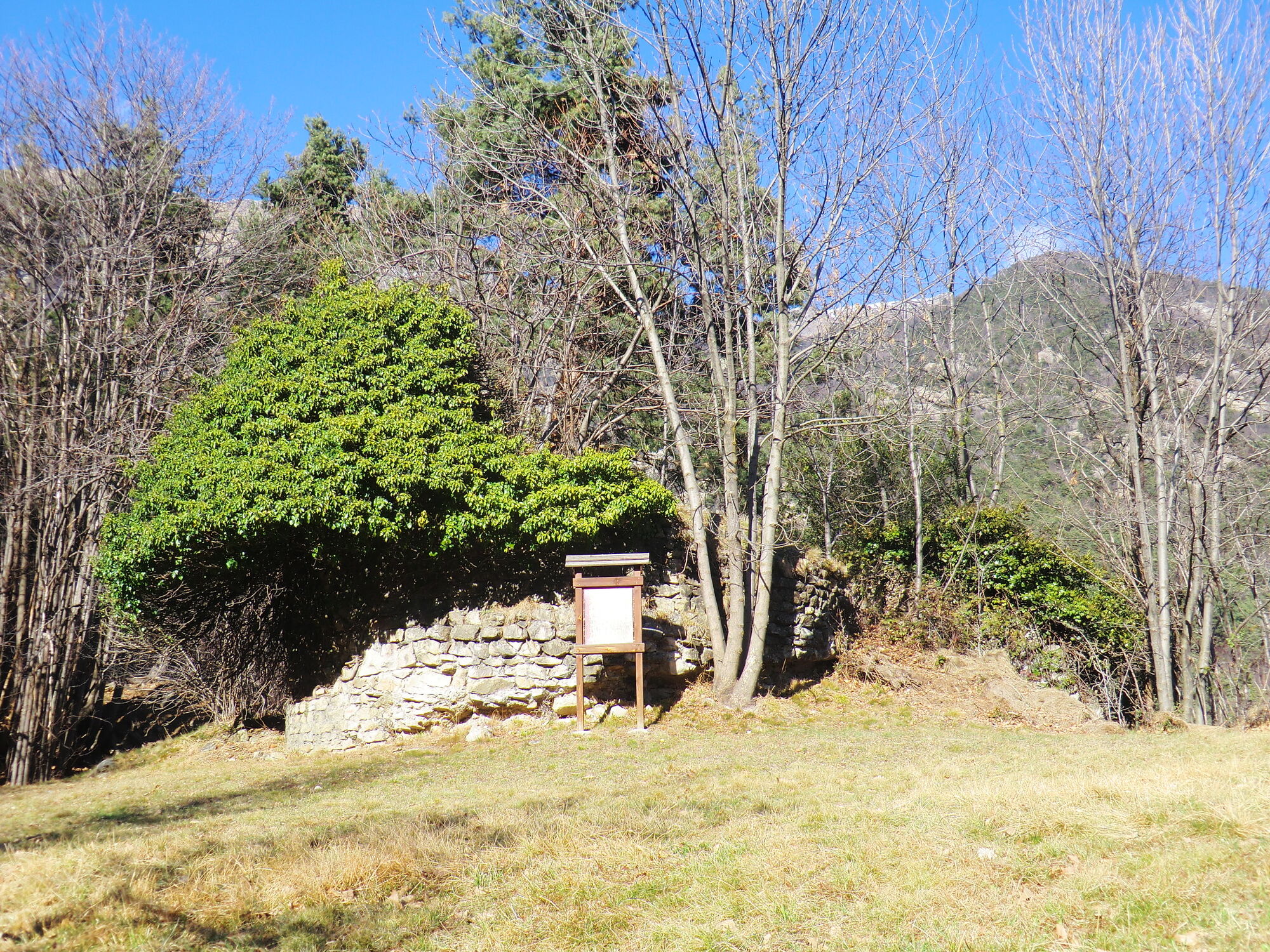
Skirting the stream, you go up the valley to the hamlet of Roreto (Roure): from here, if you wish, it is possible to interrupt the ascent and return in the direction of Perosa Argentina, following the ancient "Strada Reale" on the side of the indritto(short variant). Perhaps with a few stops to observe the remains of ancient fortifications (Bec Dauphin, Ciapella) or the striking Pissa waterfall on the Rio Agrevo.
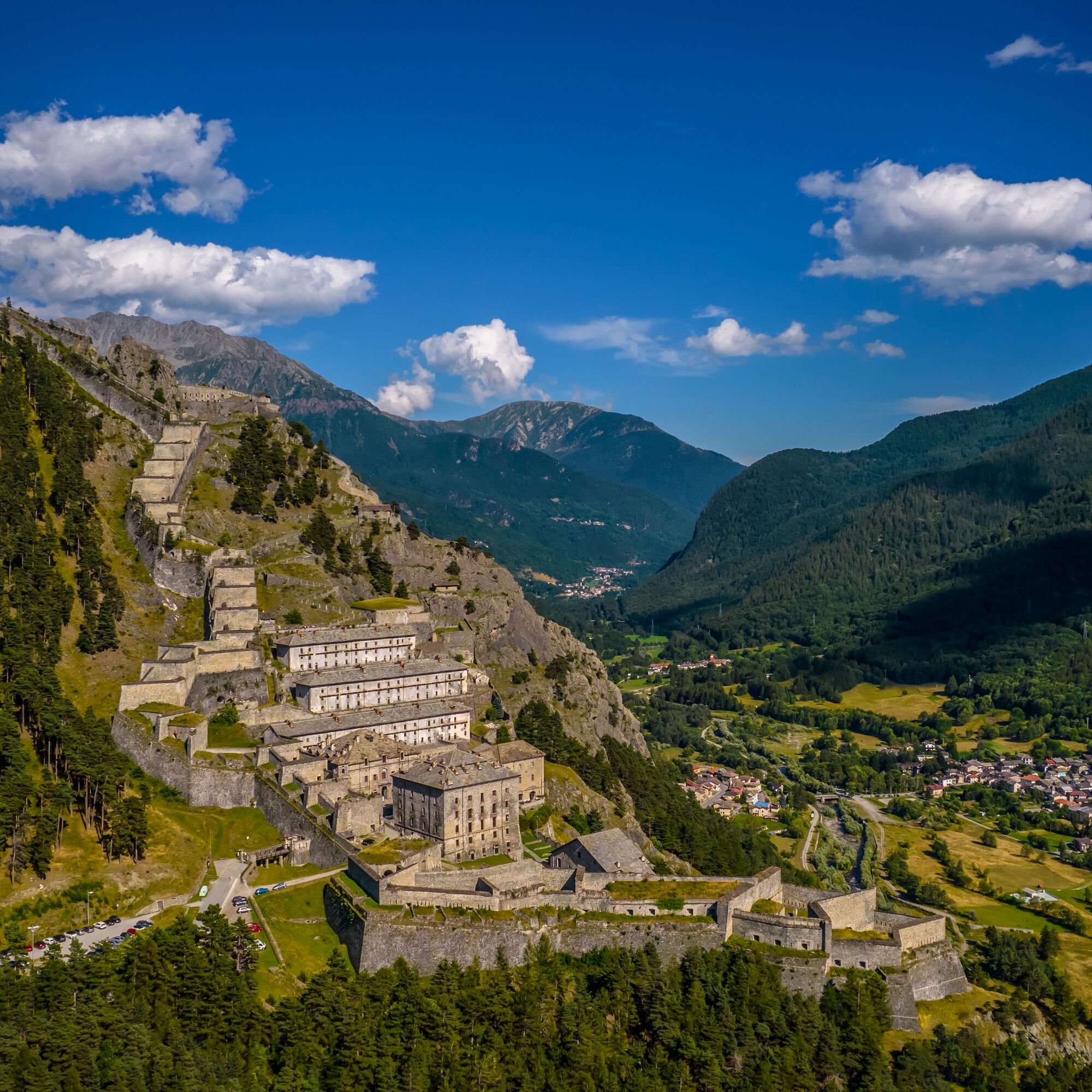
Those who want to continue instead will reach Villaretto, skirt its reservoir and continue on a dirt road to the hamlet of Mentoulles. From here you will shortly reach the village of Fenestrelle, passing at the foot of the imposing fortress that dominates the valley.


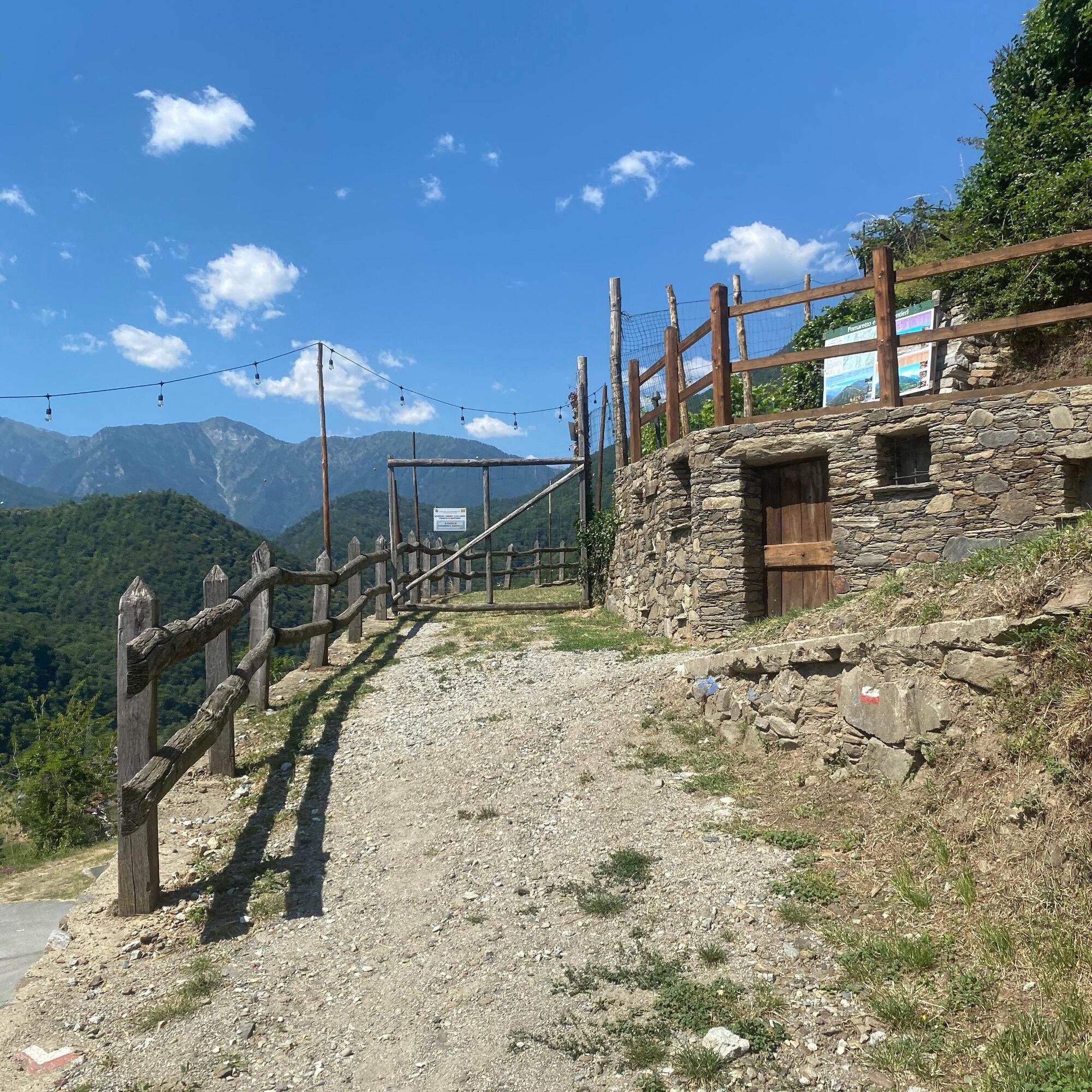
From Piazza Terzo Alpini, go down Via Roma and turn right onto Via Gutermann. At the intersection with Via Chiampo turn right to reach the bridge over the Chisone Torrent. Cross the bridge and proceed in the direction of the group of buildings and take the dirt path that goes up the slope on the orographic right of the Chisone Torrent to the Borgata Enfous center (TOS300C). From the Enfous center take the TOS300 path that, moving on a contour line, reaches Borgata Clot di Boulard passing the Rio di Enfous. Leave the built-up area of Borgata Clot behind by taking the paved carriageway that descends in the direction of Borgata Gilli. At the third hairpin bend leave the road to take the path that descends in the direction of Borgata Masselli. Just above the Borgata cross the asphalt road and take the path again to the building of the aforementioned Borgata. When you reach Strada dei Masselli, near the bridge, on SP166, turn left to reach Borgata Masselli. Go past the Borgata Masselli built-up area and continue in the direction of the bridge. Cross the bridge and take the opposite side of Via Carlo Alberto to continue upstream of the built-up center of Pomaretto on the orographic left of the Germanasca Stream. Cross the bridge and continue along via long, at the first fork follow the left branch keeping to the right. Before crossing again via Carlo Alberto leave the road for path TOS235 on the left following the existing vertical signs. The dirt path climbs until it crosses the carriage road called Podio road. At the intersection continue downhill in the direction of the center of Pomaretto. When you cross the first building go down the small stairs to the right of the road and follow the path among the old vineyards that goes down to via Balziglia (TOS340). When you reach via Balziglia turn left and continue straight ahead to the crossroads. Turn left into via Riccardo Balmas going up on asphalt road to Borgata Pons. Go past the Borgata and take the route TOS311 on a dirt road that goes up the Chisone valley on the orographic right of the stream of the same name, climbing up to Borgata Gataudia and then descending to reach the Meano Reservoir in the municipality of Perosa Argentina.
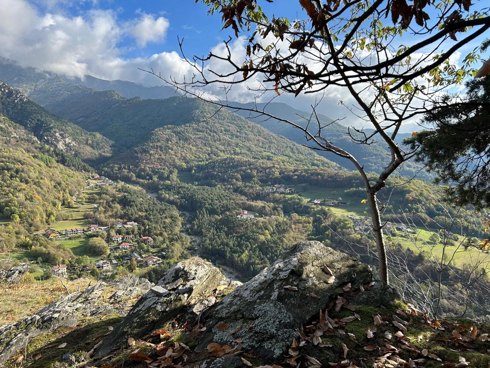
Follow the road that skirts the Meano Artificial Basin and go up until you cross the paved road that connects Borgata Selvaggio to the bridge over the Chisone (TOS370A). Cross the road and continue on the dirt path TOS370A to reach the bridge over the Chisone at Castel del Bosco in the municipality of Roure. Continue straight ahead taking dirt path TOS363 to the bridge over the Chisone in the hamlet of Roreto. Go along the bridge in the direction of the built-up area until you reach Via Nazionale. Cross over and take the paved road that goes upstream of the hamlet of Roreto on the slope to the orographic left of the Chisone River. Once past the built-up area, cross the carriage road that connects the hamlet of Roreto to the hamlet of Balma near the Balma Stream (TOS301).
Once past the center of Balma, keep to path TOS301 until the junction with TOS303 near Piccolo Faetto. Proceed along dirt road on TOS303 to the center of Villaretto. When you reach Via Nazionale, cross over to get to the orographic right of the Chisone Stream descending towards the Villaretto Reservoir. At the bridge over the Chisone stream, before the basin, turn right and take the dirt carriage road. Follow the road to the hamlet of Mentoulles in the municipality of Fenestrelle. When you arrive along the Via Nazionale, walk up a short stretch of it and turn left into Via Metoulles, near the building that houses the Orsiera Rocciavrè Nature Park, following signs for Granges. Continuing along the carriage road, you will encounter long stretches of dirt road and cross the hamlets of Granges and Chambons until you reach the center of Fenestrelle (via Roma).
For the return trip, follow the same road as the outward journey to Roreto. From here, go up the path in the direction of Borgata Vignal, then pass Castel del Bosco and then the hamlet of Serre. Still on the trail reach the center of the Lageard hamlet, then at the junction with the municipal road of Borgata Briera take the mule track that passes upstream of the Jartousiere hamlet and bypasses the built-up area of Borgata Ciapella. Then take the paved road that passes by the Rio Agrevo and Chialme hamlets, then take Via Savoia to quickly return to the starting point.
Appropriate clothing and equipment are recommended.
Before embarking on any excursion, it is advisable to consult weather reports or ask for information at local Tourism Offices.
It is good practice not to embark on a hike alone, always notify your destination.
Do not throw garbage into the environment but take it with you picking up any garbage left by others.
The travel times given are approximate and may vary depending on weather conditions, your own abilities and the type of bike you use
Coming from Turin, take the highway to Pinerolo, then continue in the direction of Val Chisone. Follow the SR23 Sestriere road to the village of Perosa Argentina.
ARRIVA bus service https://arriva.it/
Piazza Terzo Alpini in Perosa
S1
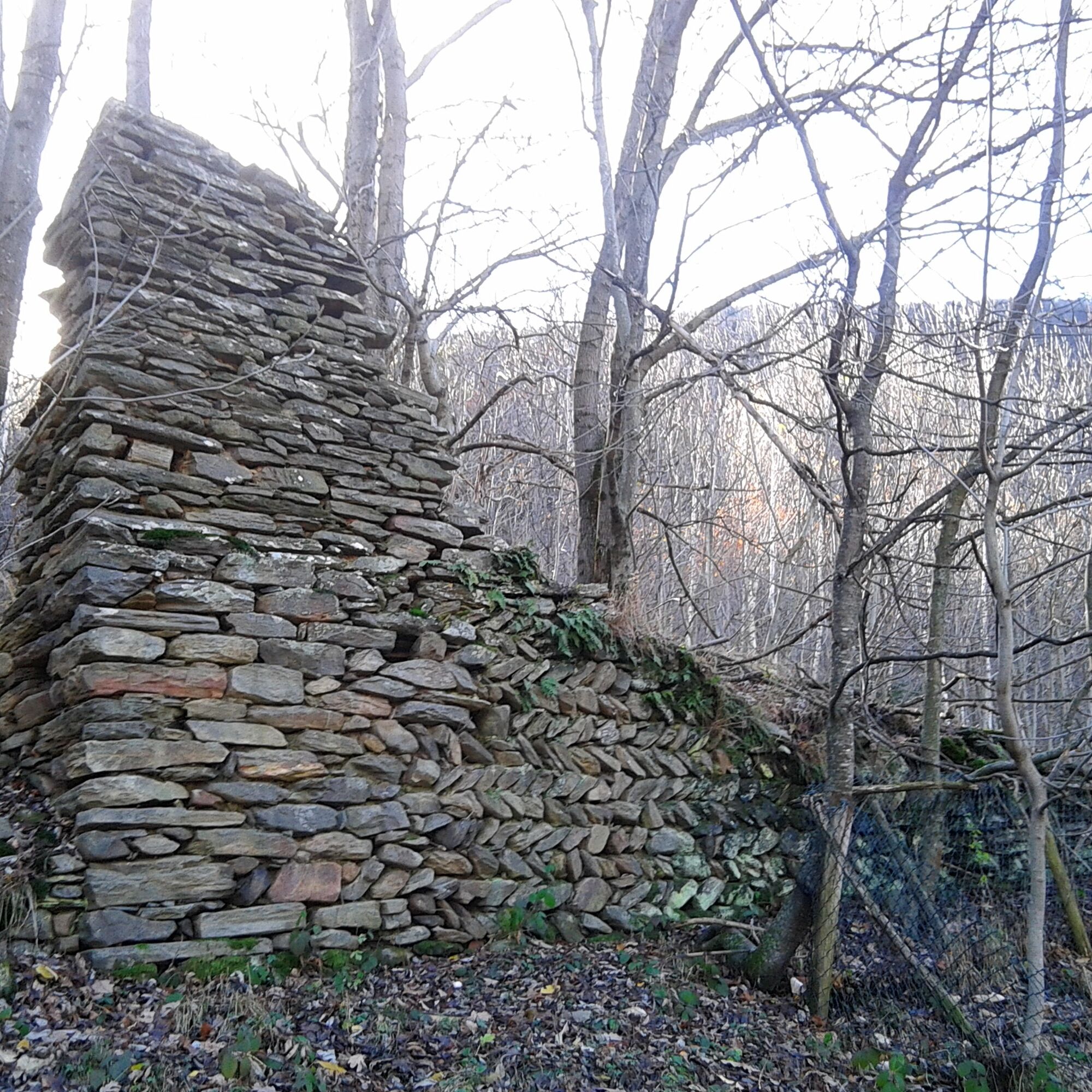
Along the route it is possible to see the remains of numerous fortifications from different periods; for more information visit theAtlas of Fortified Works website.
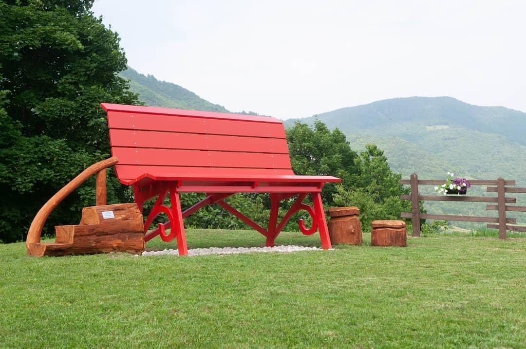
There are information points, picnic areas and ebike charging points along the trail.
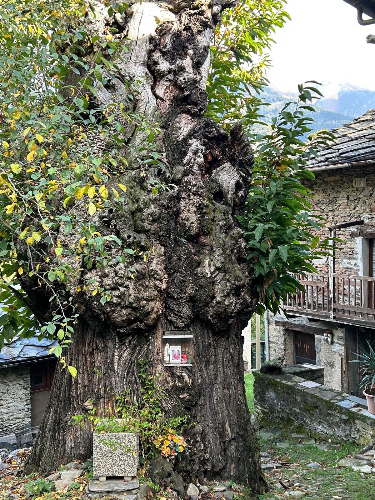
In Pomaretto you can visit the Ferrero Collection Museum "The Ancient Trades," a small world in miniature where the activities of the inhabitants of the Germanasca Valley at the beginning of the last century are represented through more than 150 models carved from boxwood. For info turismotorino.org/it/visita/cosa-fare...
Populære turer i nabolaget
-
TOUR OF THE THREE REFUGEES -Amprimo - Toesca - Val Gravio
tungVandring 17 km -
PERRERO The lakes of Conca Cialancia
tungTerrengsykkel 21,6 km -
PRALI Ring of Rocca Bianca
tungTerrengsykkel 17,9 km -
The Roads of the Forts
tungPilegrimsrute 226,8 km -
Praly4All Trail
lysVandring 2,30 km -
SAN GERMANO CHISONE Lazzarà Hill Ring
tungTerrengsykkel 29,6 km -
PINASCA Ring of Grandubbione
middelsSykling 28,8 km -
ROLETTO Upslowtour - Foothills Loop 15
tungSykling 30,0 km -
VILLAR PEROSA Ring of Monte Rocciacotello
middelsSykling 20,3 km -
Goldtoni - Alpenbogen A116 Lago di Laux-Susa
lyslangdistanse tursti 23,9 km
Vandring og sporing


Ikke gå glipp av tilbud og inspirasjon til din neste ferie
E-postadressen din har blitt lagt til på adresselisten.