


Bilder av brukerne våre
-

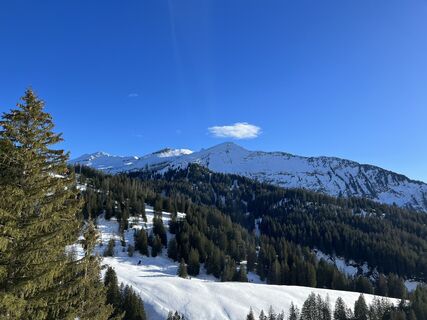
 © Ursula ReumerOpprettet den 06.04.2025
 -
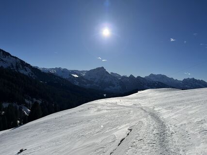
 © Silvia HollensteinOpprettet den 03.01.2024
 -
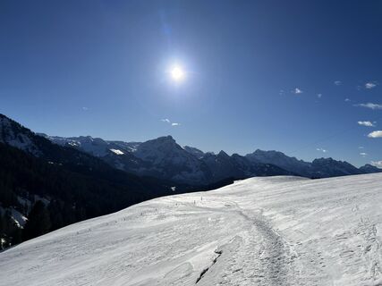
 © Silvia HollensteinOpprettet den 03.01.2024
 -
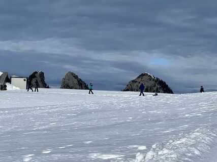
 © Silvia HollensteinOpprettet den 03.01.2024
 -
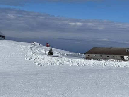
 © Silvia HollensteinOpprettet den 31.12.2023
 -
 © Silvia HollensteinOpprettet den 31.12.2023
 -
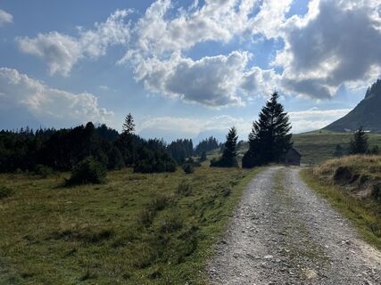 © Silvia HollensteinOpprettet den 08.09.2023
 -
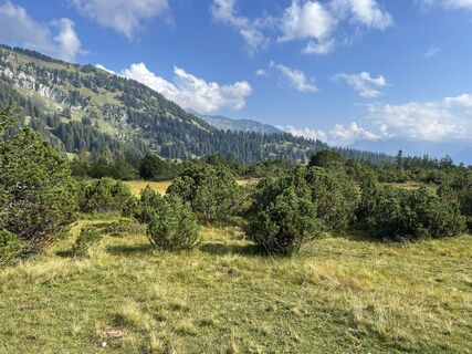 © Silvia HollensteinOpprettet den 08.09.2023
 -
 © Silvia HollensteinOpprettet den 08.09.2023
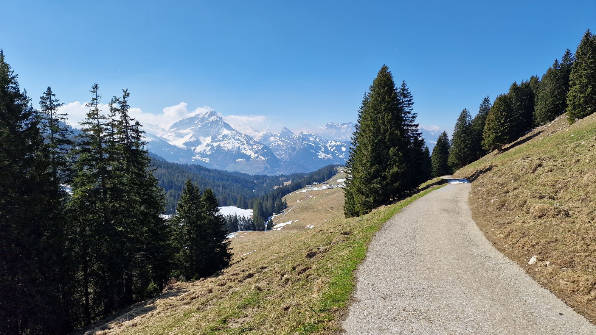
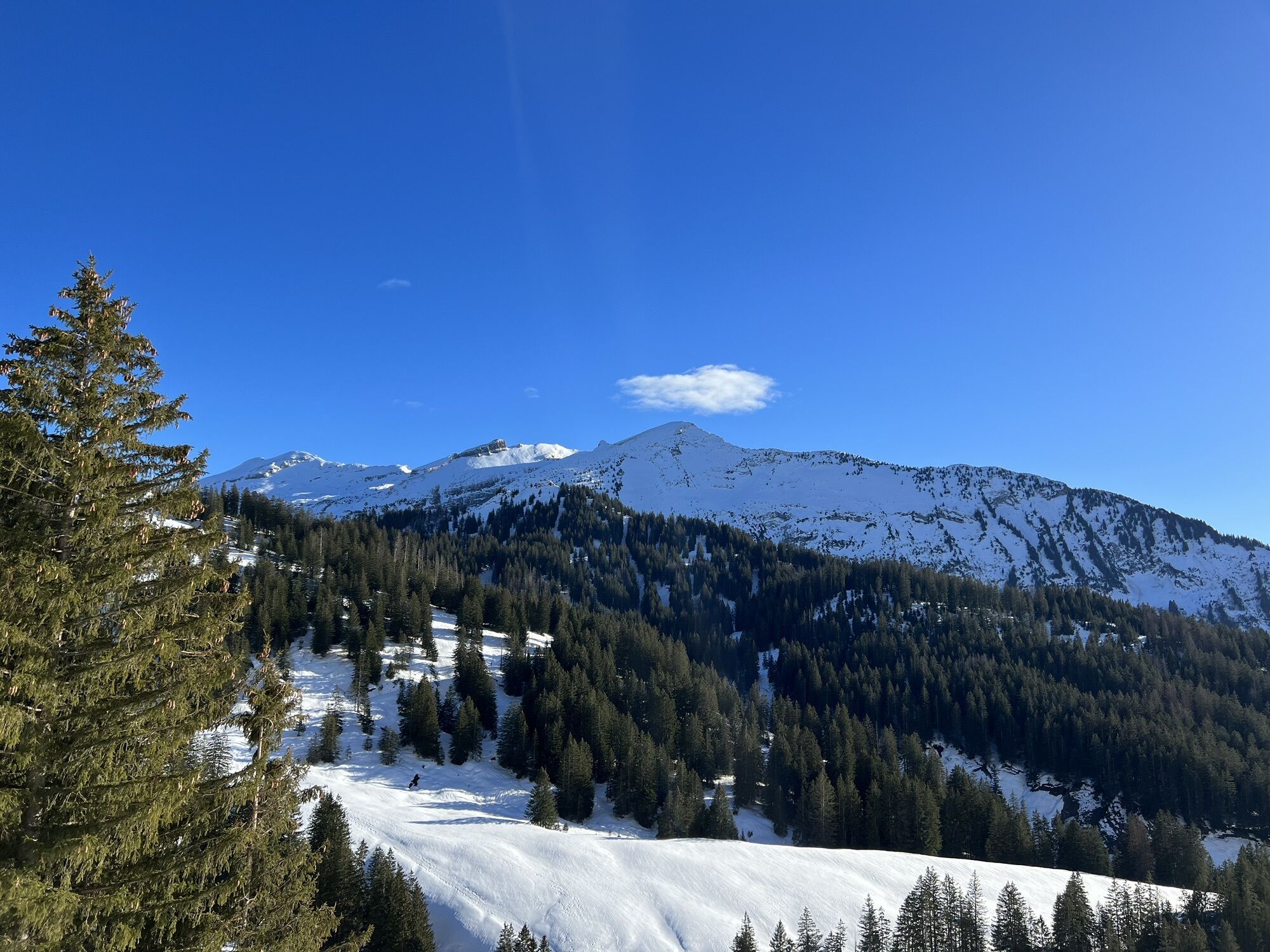


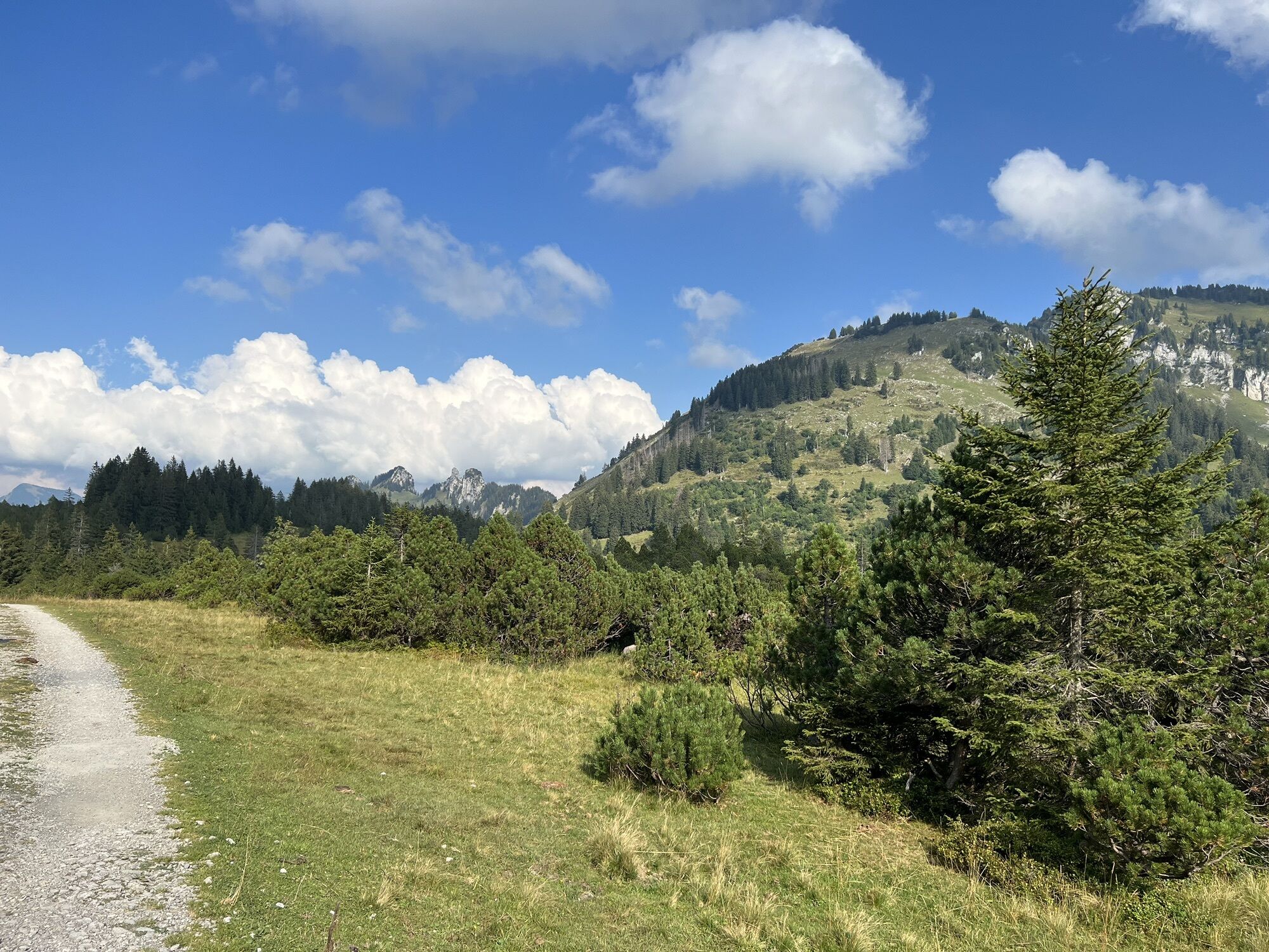
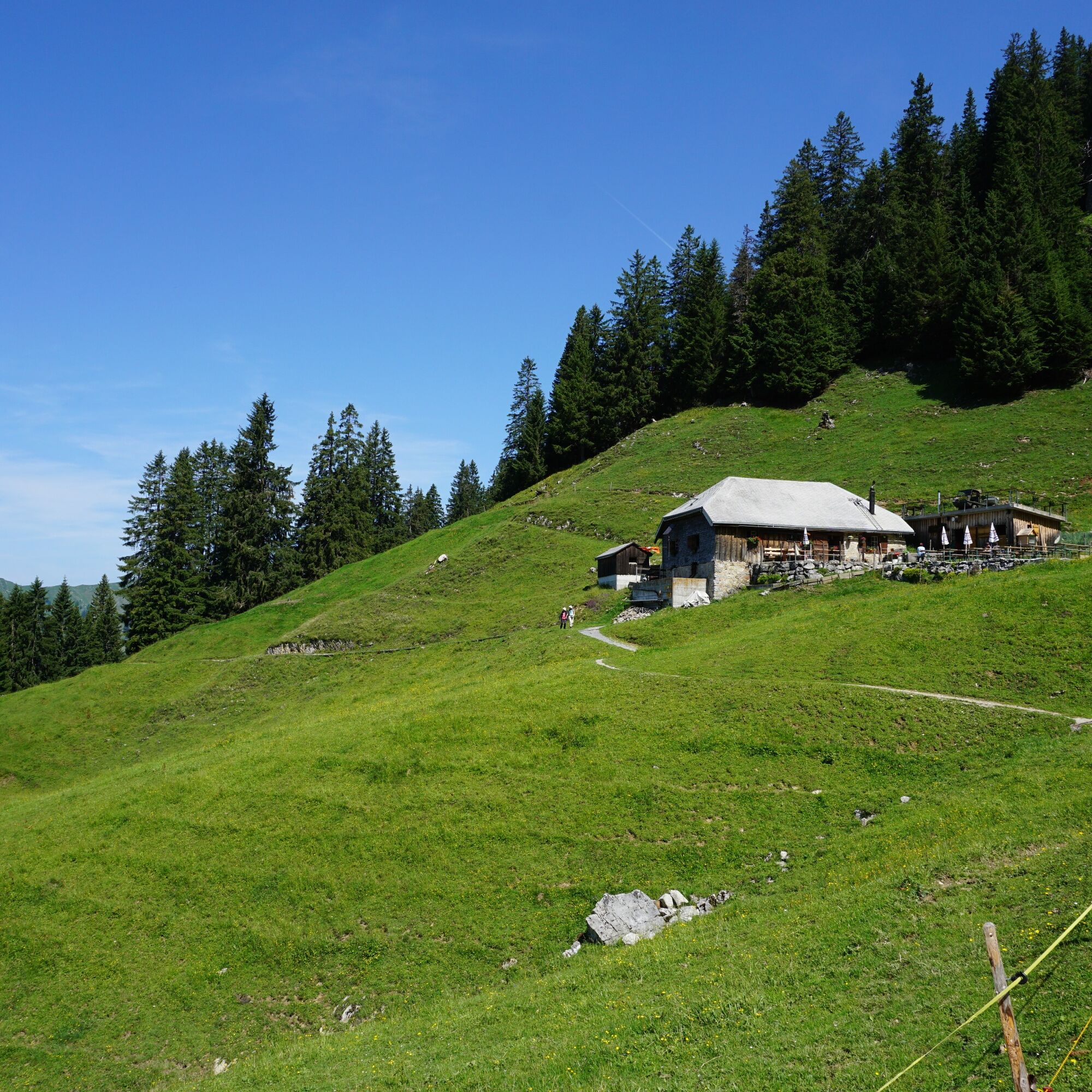
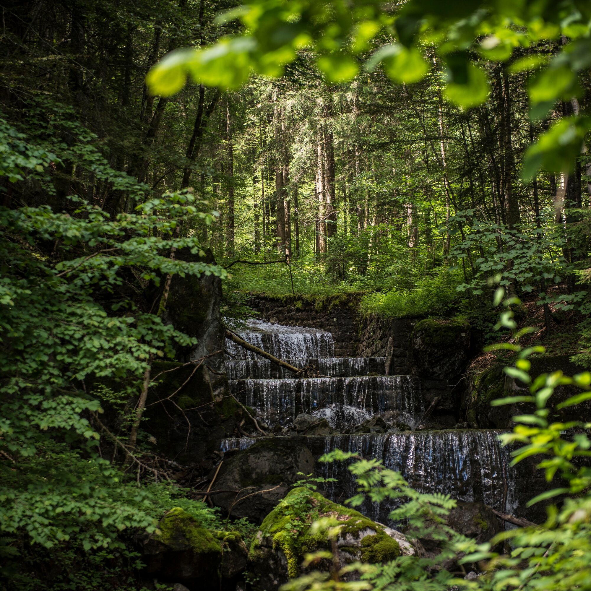
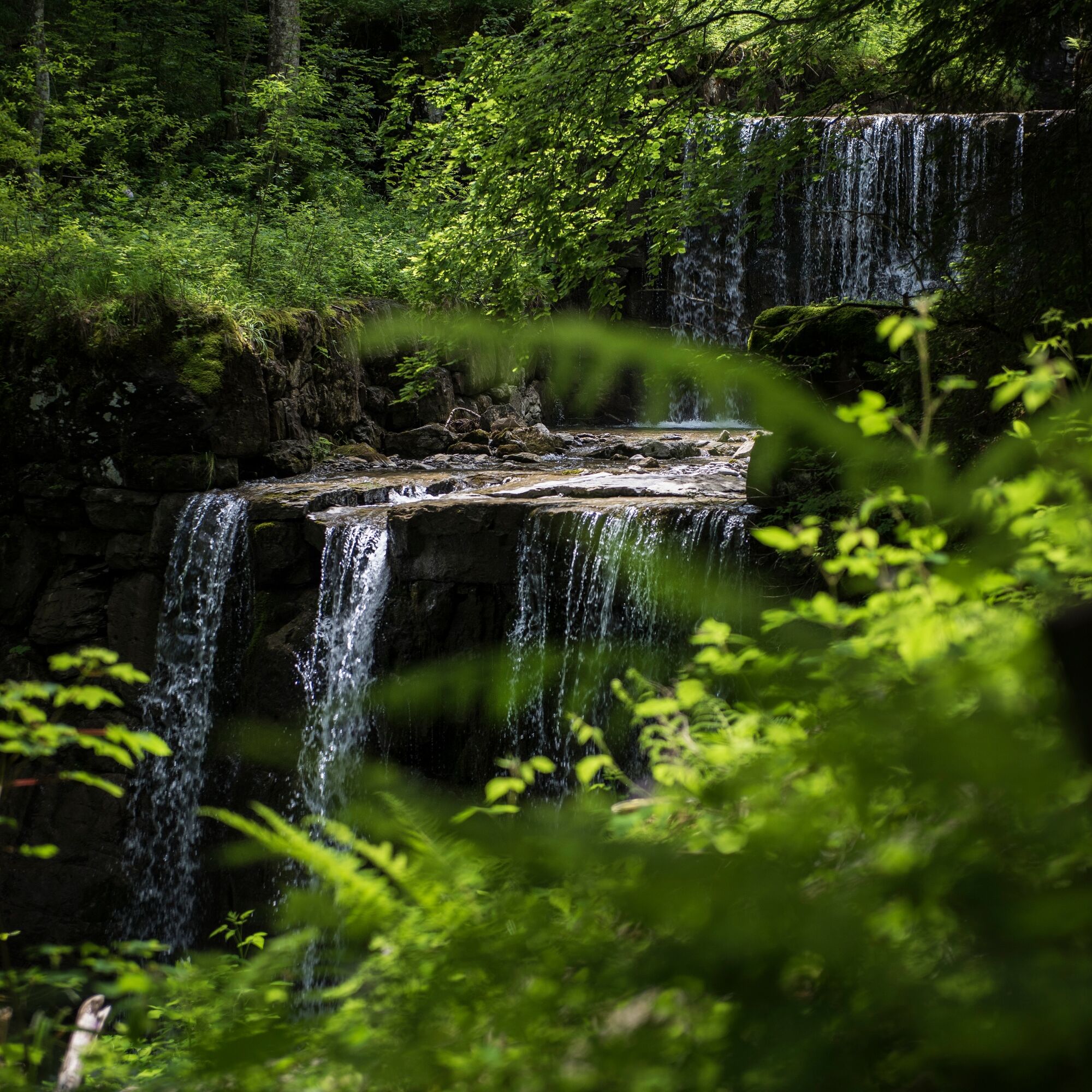
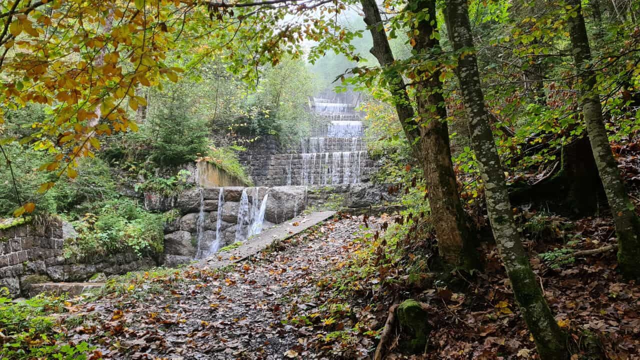
The route starts in the center of the village of Stein SG. The path initially leads gently southwest, later steeper along the Dürrenbach stream. It passes through the forest and you are accompanied by...
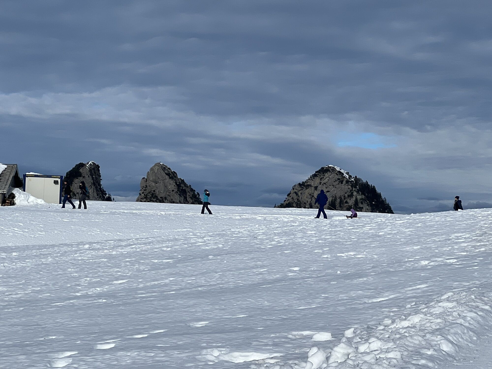
The route starts in the center of the village of Stein SG. The path initially leads gently southwest, later steeper along the Dürrenbach stream. It passes through the forest and you are accompanied by the babbling of the brook. At the end of the ascent, Vorder Höhi awaits with a wonderful view. Then the route goes around the Gulmen passing the Alp Furgglen to Hinder Höhi. From there follows the descent through the forest to Nesslauer Laad and back to the starting point Stein SG.


Stein SG - Vorder Höhi - Hinder Höhi - Nesslauer Laad - Stein SG.
Day hiking backpack (approx. 20 liters) with rain cover, sturdy and comfortable footwear, weather-appropriate and durable clothing in layers, if necessary telescopic poles, sun and rain protection, provisions and drinking water, first-aid kit, pocket knife, mobile phone, if necessary headlamp, map material
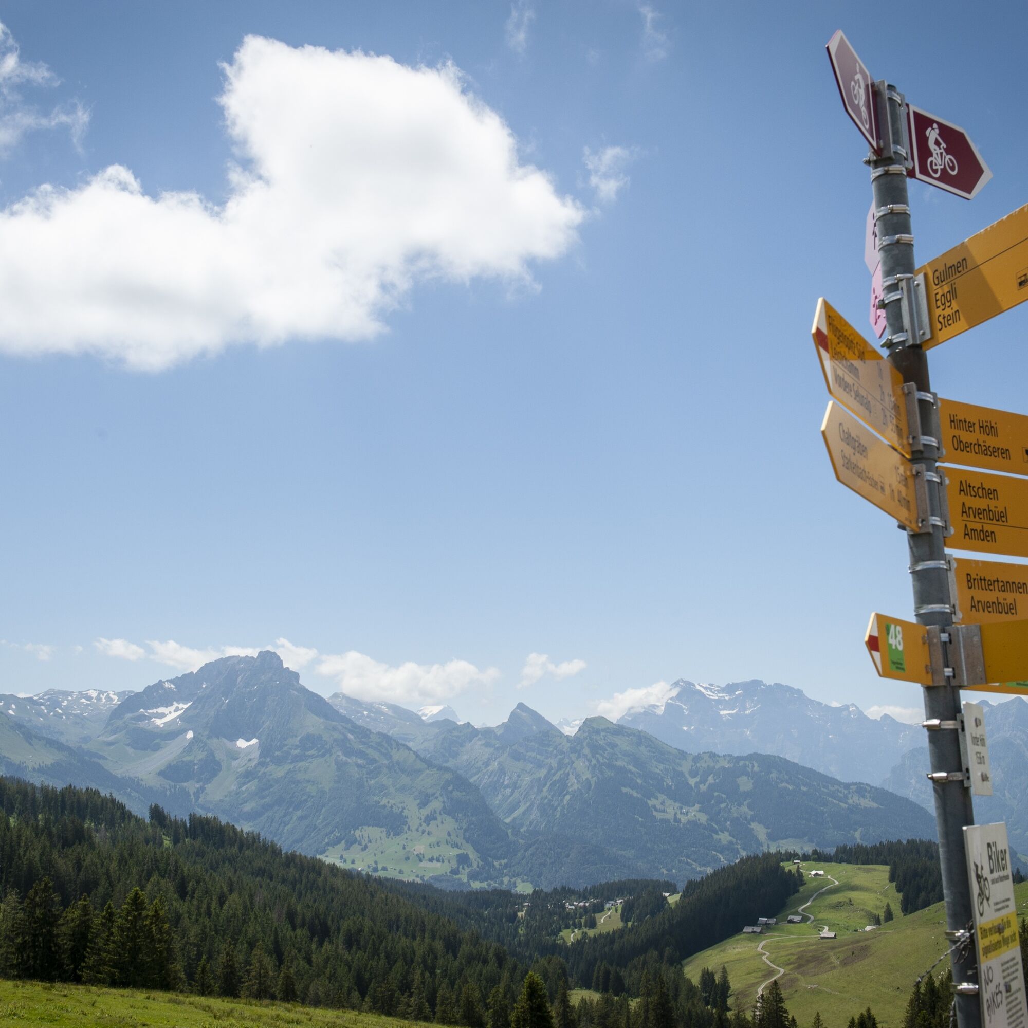
The path is not specially signposted. Please follow the general hiking trail signs.
- From the Zurich metropolitan area and Central Switzerland:
Take the A3 at Reichenburg towards Rapperswil, then via the Ricken Pass to Stein SG.
- From Eastern Switzerland:
Drive from St. Gallen on the A1 to Wil, take the Toggenburg exit. Follow the main road to Stein SG.
- From southern Germany:
Via Bregenz and St. Margrethen on the A13 to Haag and take the exit towards Toggenburg/Wildhaus. Or via Konstanz to Wil, then take the Toggenburg exit and follow the main road to Stein SG.
By train to Nesslau SG station. From there continue by postbus to the Stein Dorf stop.
More information can be found at www.sbb.ch.
Parking is available throughout the village of Stein SG.
Toggenburg Tourism
Hauptstrasse 104
CH-9658 Wildhaus
Tel: +41 (0)71 999 99 11
info@toggenburg.swiss
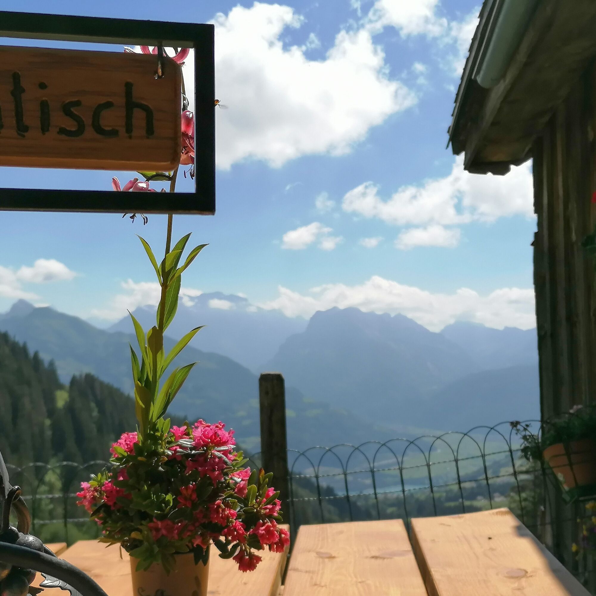
Enjoy a tea made from herbs directly from the garden or a homemade ice cream in the charming Buurebeizli Dergeten and admire the idyllic view of the mountain panorama.
Webkameraer fra turen
Populære turer i nabolaget
-
4,7
Riviera Walensee Walenstadt - Quinten
middelsVandring 10,4 km -
4,6
Riviera Lake Walen Weesen – Quinten
middelsVandring 10,2 km -
4,5
Weesen - Quinten - Walenstadt
tungVandring 20,6 km -
5,0
Schrina Alp and Cultural Trail
middelsTemaløype 11,5 km -
4,6
Säntis
middelsFjellturer 17,5 km -
4,6
4-Summit-Route Flumserberg
middelsVandring 8,65 km -
4,5
Amden - Speer (Rundkurs)
lysVandring 17,6 km -
3,3
Seerenbach waterfalls
lysVandring 4,38 km -
5,0
Fronalpstock GL
middelsVandring 7,84 km -
5,0
Mountain route over Rotsteinpass to Säntis
tungVandring 8,53 km

Vandring og sporing


Ikke gå glipp av tilbud og inspirasjon til din neste ferie
E-postadressen din har blitt lagt til på adresselisten.