


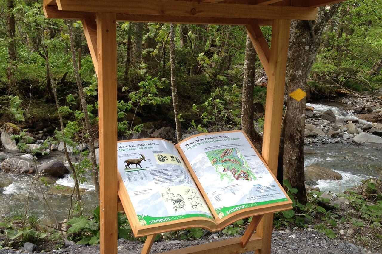
This easy hike starts in Weisstannen, Oberdorf. It takes us along the Seez to Schwendi and back to Weisstannen on the Kurweg. Four information boards tell us lots of interesting facts about the ibex population,...
This easy hike starts in Weisstannen, Oberdorf. It takes us along the Seez to Schwendi and back to Weisstannen on the Kurweg. Four information boards tell us lots of interesting facts about the ibex population, the Walser people and the valley. Two legends provide a deeper insight into the local world of legends.

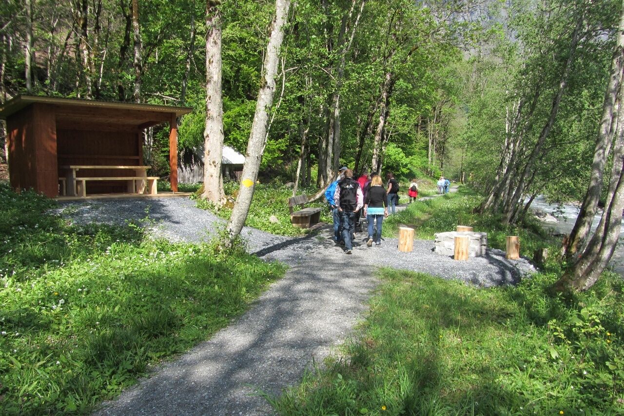

The hike starts in Weisstannen. We follow the road in the direction of Schwendi. At the junction, we turn right onto the "Infoweg". The path runs along the Seez to Schwendi. Once in Schwendi, the path leads us up into the forest in front of the bus stop. We then walk back to Weisstannen on the other side of the stream.
Ja
Ja
Day hiking backpack (approx. 20 liters) with rain cover, sturdy and comfortable shoes, weather-appropriate and hard-wearing clothing in multiple layers, telescopic poles if necessary, sun and rain protection, provisions and drinking water, first aid kit, pocket knife, cell phone, headlamp if necessary, maps
Take the highway exit Sargans/Mels, then follow the signs to Mels/Weisstannen.
Take the train to Sargans, continue by bus from Sargans station to the Pizolpark stop and then change to bus 432 to Weisstannen.
Public parking spaces available in Weisstannen (subject to charge)
The "Post ab" museum in Weisstannen is well worth a visit. Here we can find out more about the ibex release and other exciting stories about the Weisstannen valley.
Populære turer i nabolaget
-
4,6
7-Peak-Tour Flumserberg
tungVandring 15,0 km -
4,6
5-Seen Wanderung am Pizol
lysVandring 10,1 km -
4,6
Mountain hut Alvier
middelsVandring 3,33 km -
4,6
Pizol - Batöni - Weisstannen
tungVandring 11,7 km -
4,6
4 Summit Tour Flumserberg
middelsVandring 8,65 km -
4,3
Tamina Gorge round tour
middelsVandring 14,0 km -
5,0
Circular Hike Bettlerweg & 2-Lakes-Hike Pizol
middelsVandring 11,4 km -
Murgsee Runde
middelsVandring 16,2 km -
Round trip Palfries - Sennis
lysVandring 15,1 km -
3,2
Route of amazement Flumserberg
lysVandring 8,03 km
Vandring og sporing


Ikke gå glipp av tilbud og inspirasjon til din neste ferie
E-postadressen din har blitt lagt til på adresselisten.