


Vanskelighetsgrad: 3


Bilder av brukerne våre
-
 © Ulrike SeebacherOpprettet den 17.07.2025
 -

 © Wolfgang ZiemerOpprettet den 07.10.2022
 -
 © Andi FelixOpprettet den 12.10.2025
 -
 © Claudia FürlingOpprettet den 29.07.2025
 -
 © Edit SzoboszlayOpprettet den 02.05.2025
 -
 © Hermann E.Opprettet den 29.08.2024
 -
 © Hermann E.Opprettet den 29.08.2024
 -
 © Hermann E.Opprettet den 29.08.2024


Cycle through the rural Klettgau, through endless vineyards, past breathtaking viewpoints, through lush meadows and rustling forests. Let yourself be enchanted by the charm of the wine-growing villages...
Cycle through the rural Klettgau, through endless vineyards, past breathtaking viewpoints, through lush meadows and rustling forests. Let yourself be enchanted by the charm of the wine-growing villages and treat yourself to a good drop in one of the numerous cozy wine cellars.
The Chläggi-Route offers you a varied experience with culinary, cultural and scenic highlights. Discover a part of the Regional Nature Park Schaffhausen on two wheels.
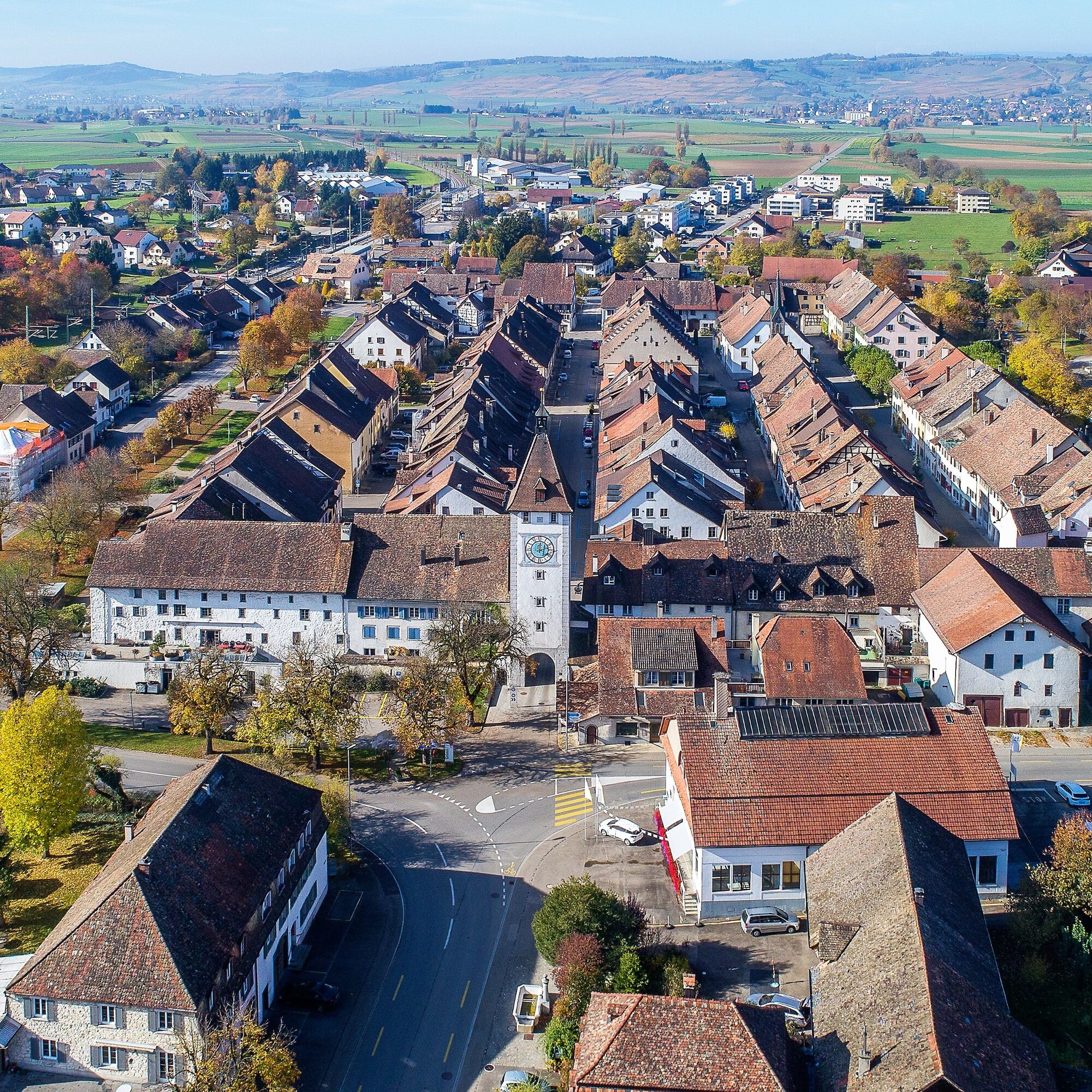


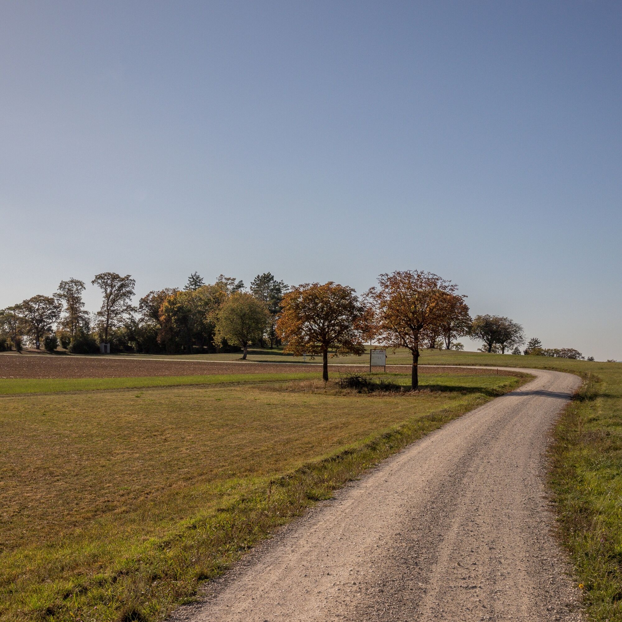
You start in Schaffhausen at the train station and follow the signs along the cycle path towards Beringen. In the middle of the village of Beringen, take a right turn to the natural swimming pool «Gwaagge Badi» – perfect for a short cooling off in summer. Then continue to the next village, Löhningen. Before entering the village, take the left turn to the Schmerlat airfield. From there, you proceed to the small town of Neunkirch. Distinctive and well-preserved buildings, a picturesque old town with charming alleys and romantic backyards give the town an incomparable charm.
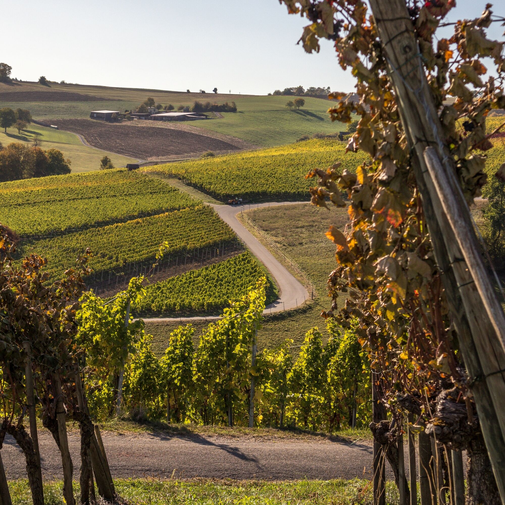
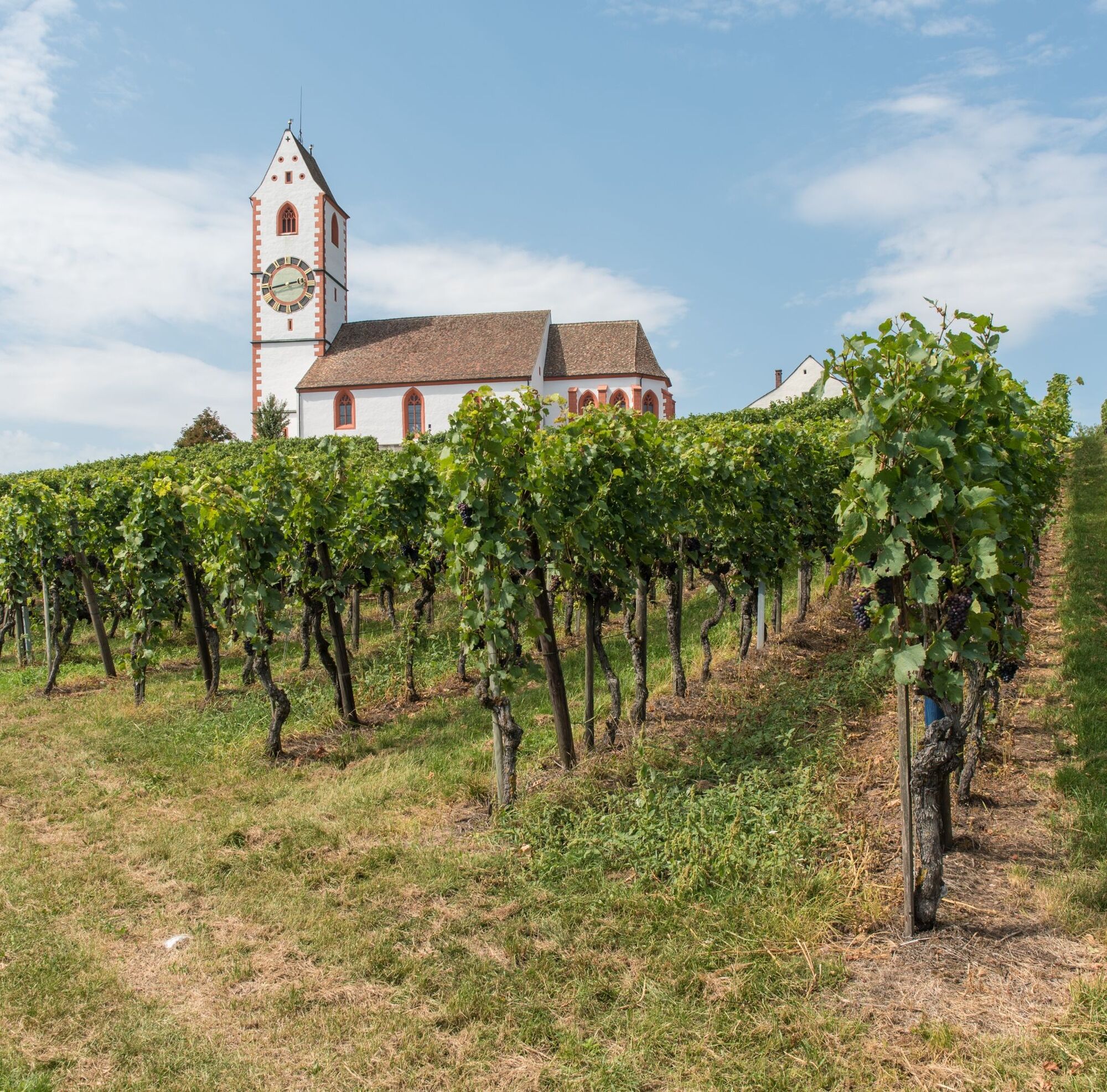
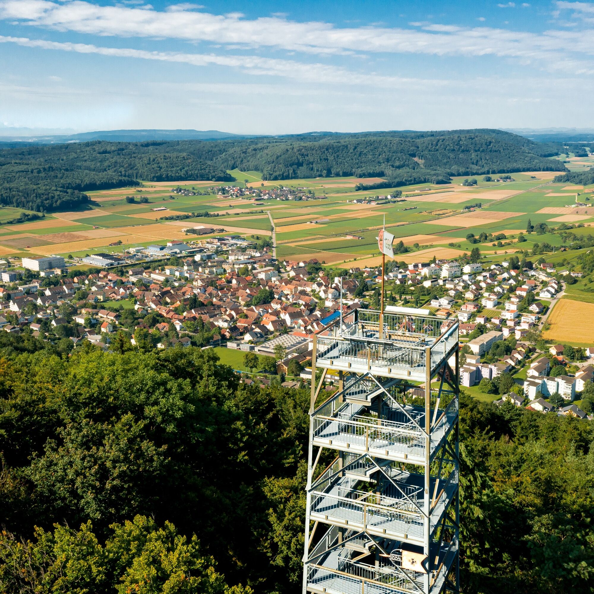
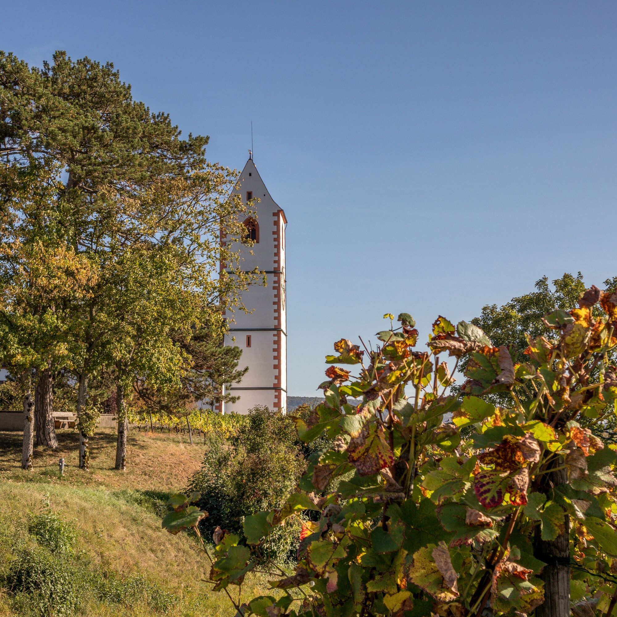
The cycle path continues to Hallau, the largest wine-growing village in the Klettgau. Now the route goes uphill, but the climb is worth it. On the way up Hallauerberg, you pass the romantically situated mountain church St. Moritz, the landmark of Hallau, and numerous vineyards. Once at the top, you can enjoy a wonderful view over the Klettgau and on clear days all the way to the majestic Alps.
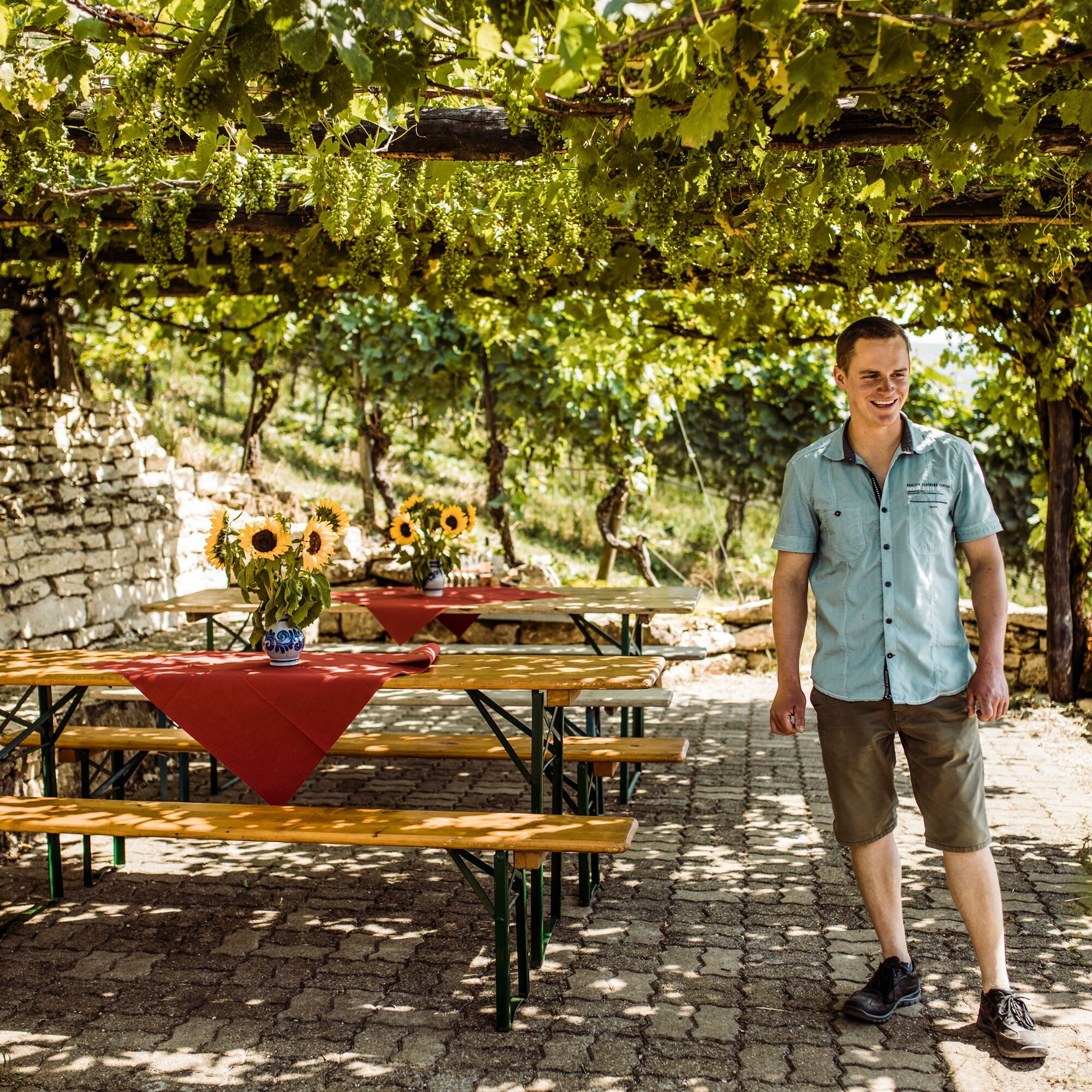
Follow the signs to Trasadingen and then to Wilchingen. Explore the picturesque small villages before continuing in the direction of Osterfingen. The wine-growing village Osterfingen lies between the Wannenberg and the Rossberg. Its history is shaped by the long tradition of viticulture. A prominent witness to this is the well-known Bergtrotte, which perches above the village in the vineyard. The venue invites you to a cosy celebration and enjoyment. Here you will discover regional delicacies and the abundance of Schaffhausen wines.
Now you cycle over the Rossberg towards Jestetten (DE). On the south slope of the Rossberg, not directly on the route but worth a detour, stands the Radegg castle ruins on a rugged promontory. When you stand on the ruins, you can see as far as Säntis and the Churfirsten. And with some luck, you may encounter the «Kätterli vo Radegg» or find his blue rose bush. The view is certainly fabulous.
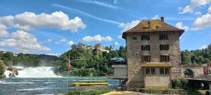
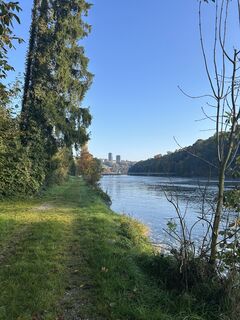
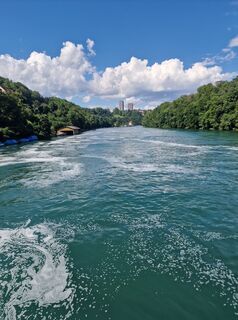
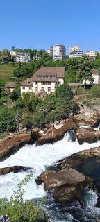
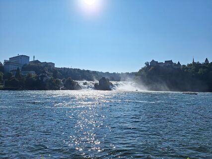
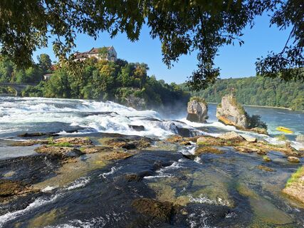
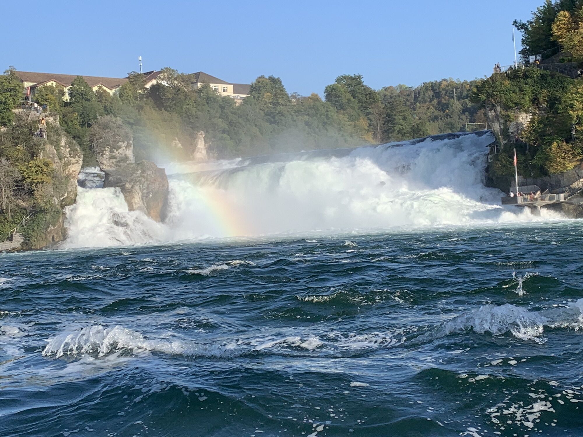
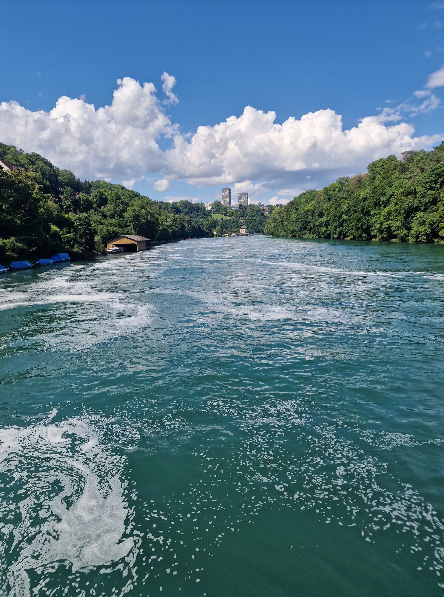
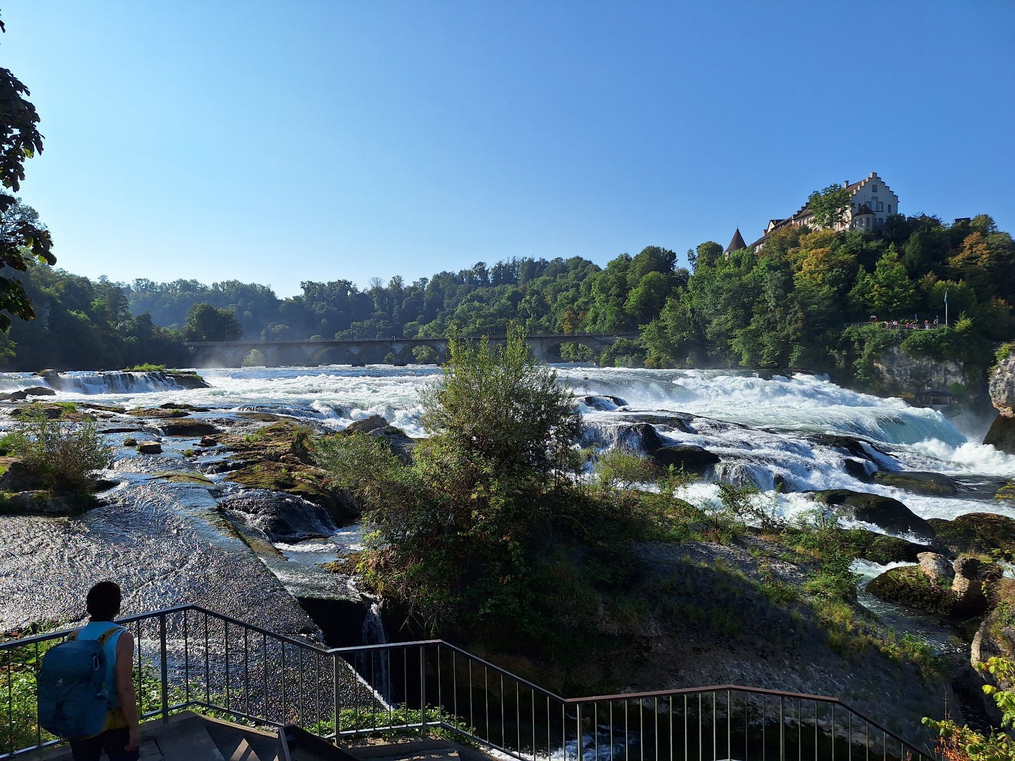
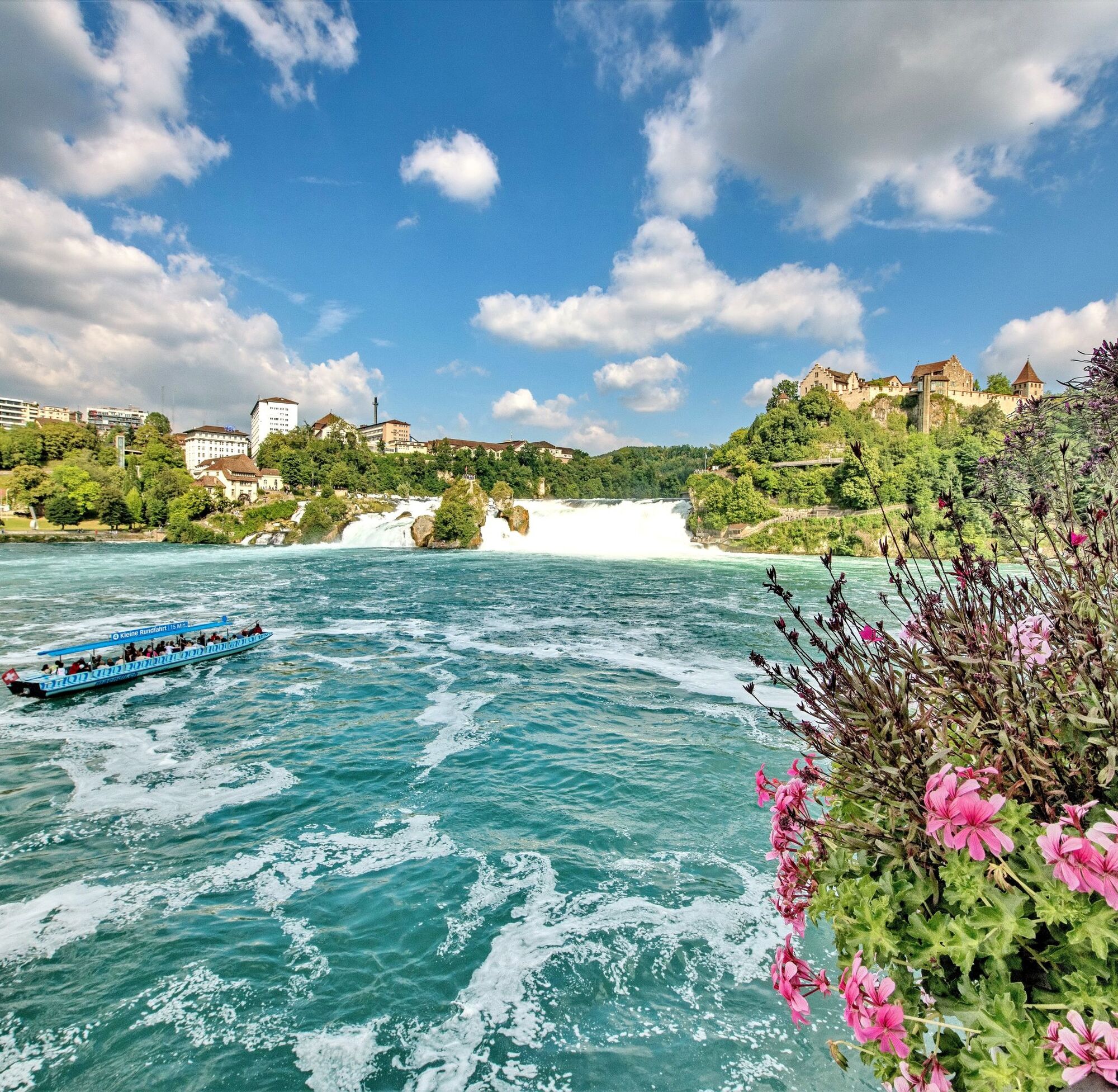
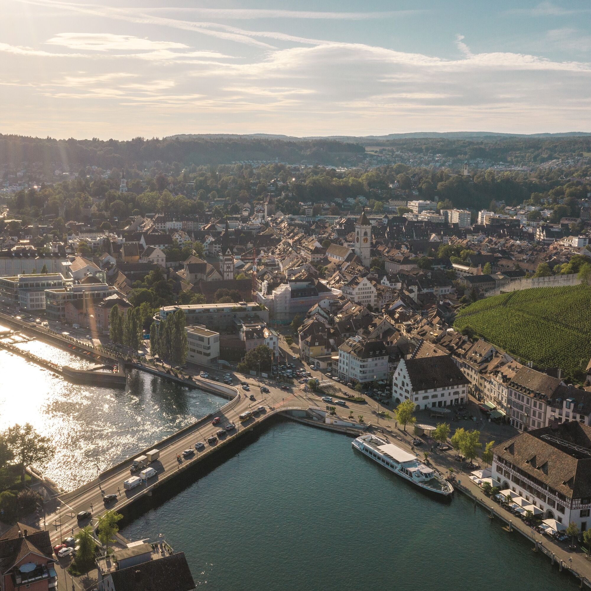
On the way from Jestetten to Neuhausen am Rheinfall, you cycle past the Celtic rampart in Altenburg from the 2nd century BC. It testifies to the Celtic history of the area. In Neuhausen you pass by the Rhine Falls – you might even feel the spray on your skin. Then continue along the Rhine back to Schaffhausen. Enjoy the northernmost city of Switzerland with its 171 bay windows and if you like, climb the impressive Munot.
Ja
Roadworthy bicycle, bike helmet, drinks and snacks for in between.
You ride on cycle paths, gravel roads and streets – a bike helmet is therefore recommended.
Starting point: Schaffhausen train station
Route planner
Near Schaffhausen train station there are several parking garages.
3
Order the route map or download it directly at: https://www.natourpark.ch/tour/chlaeggi-route/
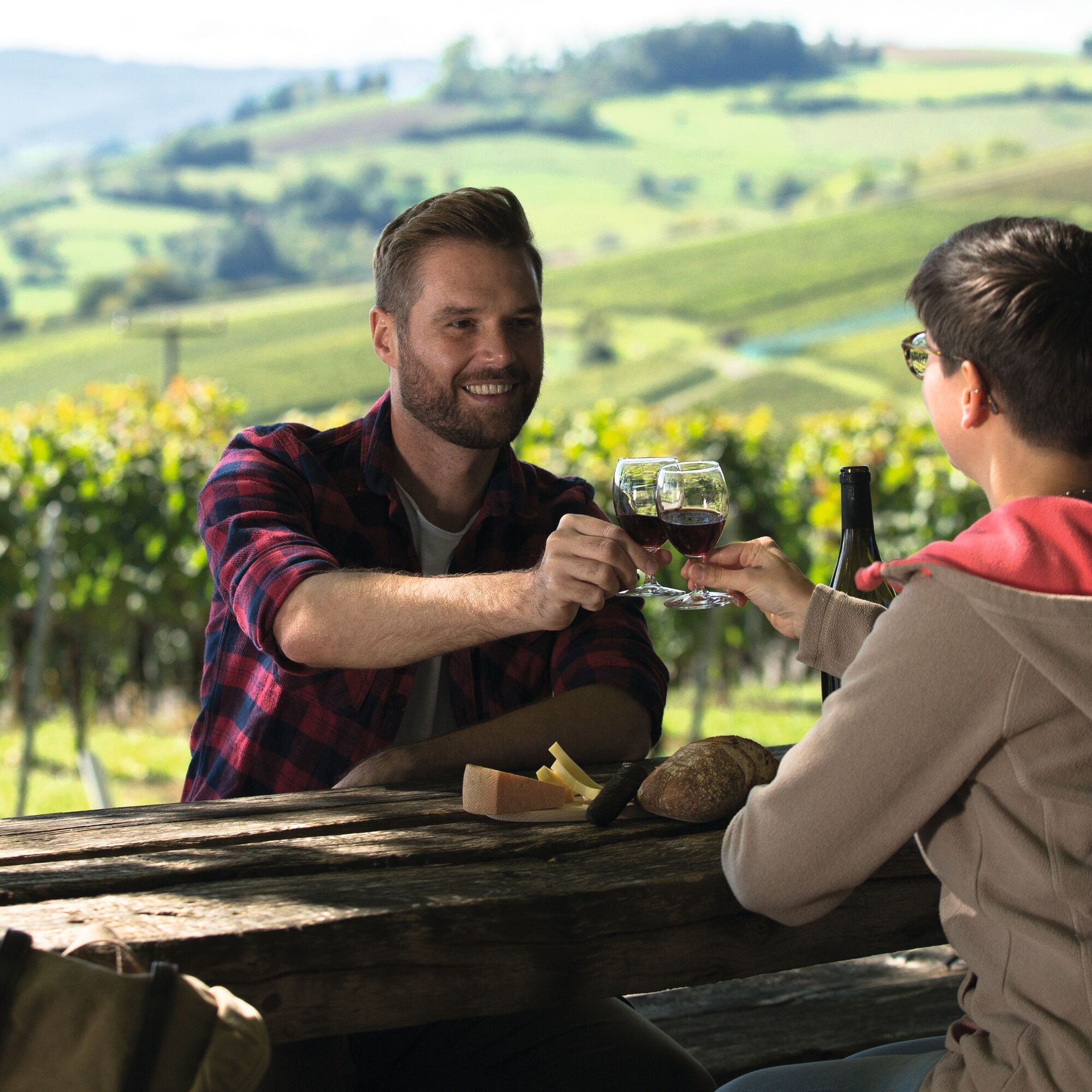
Taste the wines from the Schaffhauser Blauburgunderland.
Download route map at: https://www.natourpark.ch/tour/chlaeggi-route/
Populære turer i nabolaget
-
4,6
Small Rheinfall Circular Route
lysVandring 3,48 km -
4,8
Rundwanderweg Rheinau
lysVandring 6,85 km -
Hike to the highest point of Schaffhausen
middelsVandring 10,1 km -
Kleie Rheinfallrunde
lysVandring 3,82 km -
Eglisau - Buchberg - Eglisau
lysVandring 5,99 km -
4,5
SchweizMobil 593: Nordspitze Panoramaweg
middelsVandring 13,7 km -
Stone Age Trail Route Kesslerloch-Schweizersbild
middelsTemaløype 11,2 km -
4,5
Nature trail Merishausen: Brown route
middelsTemaløype 11,4 km -
SwitzerlandMobility 899: Blauburgunderland Panorama Trail
middelsVandring 14,2 km -
SchweizMobil 901: Randen Weg
middelsVandring 16,2 km

Vandring og sporing


Ikke gå glipp av tilbud og inspirasjon til din neste ferie
E-postadressen din har blitt lagt til på adresselisten.