


Vanskelighetsgrad: 1


Bilder av brukerne våre
-

 © Andrea Opitz-JandrisitsOpprettet den 08.09.2025
 -
 © Andrea Opitz-JandrisitsOpprettet den 08.09.2025
 -
 © Andrea Opitz-JandrisitsOpprettet den 08.09.2025
 -
 © Andrea Opitz-JandrisitsOpprettet den 08.09.2025
 -
 © Andrea Opitz-JandrisitsOpprettet den 08.09.2025
 -
 © Michael GschwandtnerOpprettet den 17.09.2023

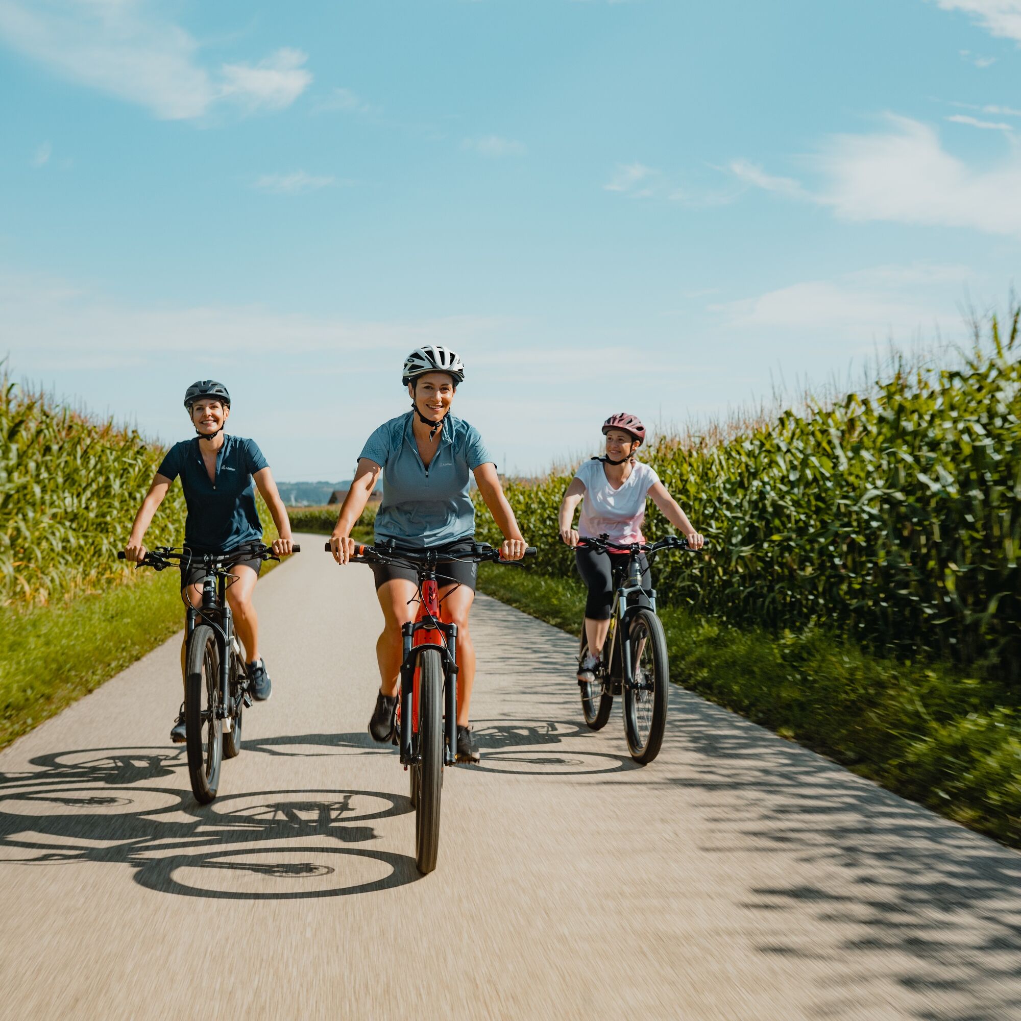
The Eferding Basin is a place of myth: mentioned in the Nibelungenlied, death place of Saint Wolfgang, with a view of the largest castle in Upper Austria… This cycling route meanders through the fertile...
The Eferding Basin is a place of myth: mentioned in the Nibelungenlied, death place of Saint Wolfgang, with a view of the largest castle in Upper Austria… This cycling route meanders through the fertile plain: river cycling along the Danube stream, cultural cycling through vegetable fields with magnificent four-sided farmsteads. Amid hidden cultural treasures!
Highlights:
Feldkirchen bathing lakes Danube jewel Aschach on the Danube (artful townhouses, parish church with Danube cross…) Monastery church Pupping (death place of St. Wolfgang) City of Eferding (third oldest city in Austria, magnificent city square, Eferding "cathedral"…) Historic Danube cable ferry Ottensheim (in operation since 1871)

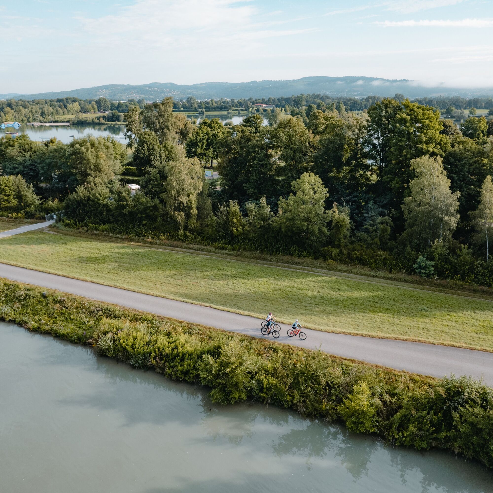
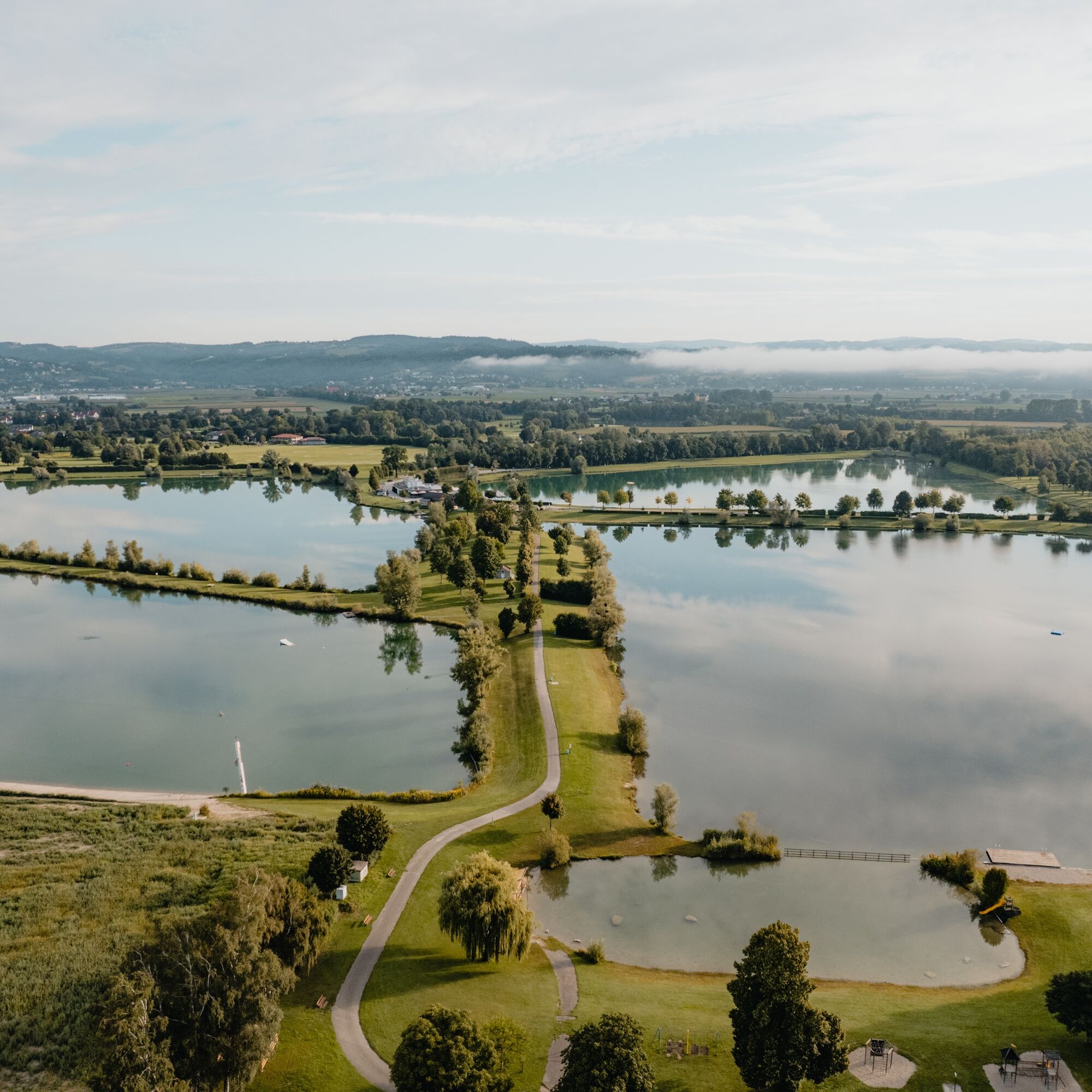
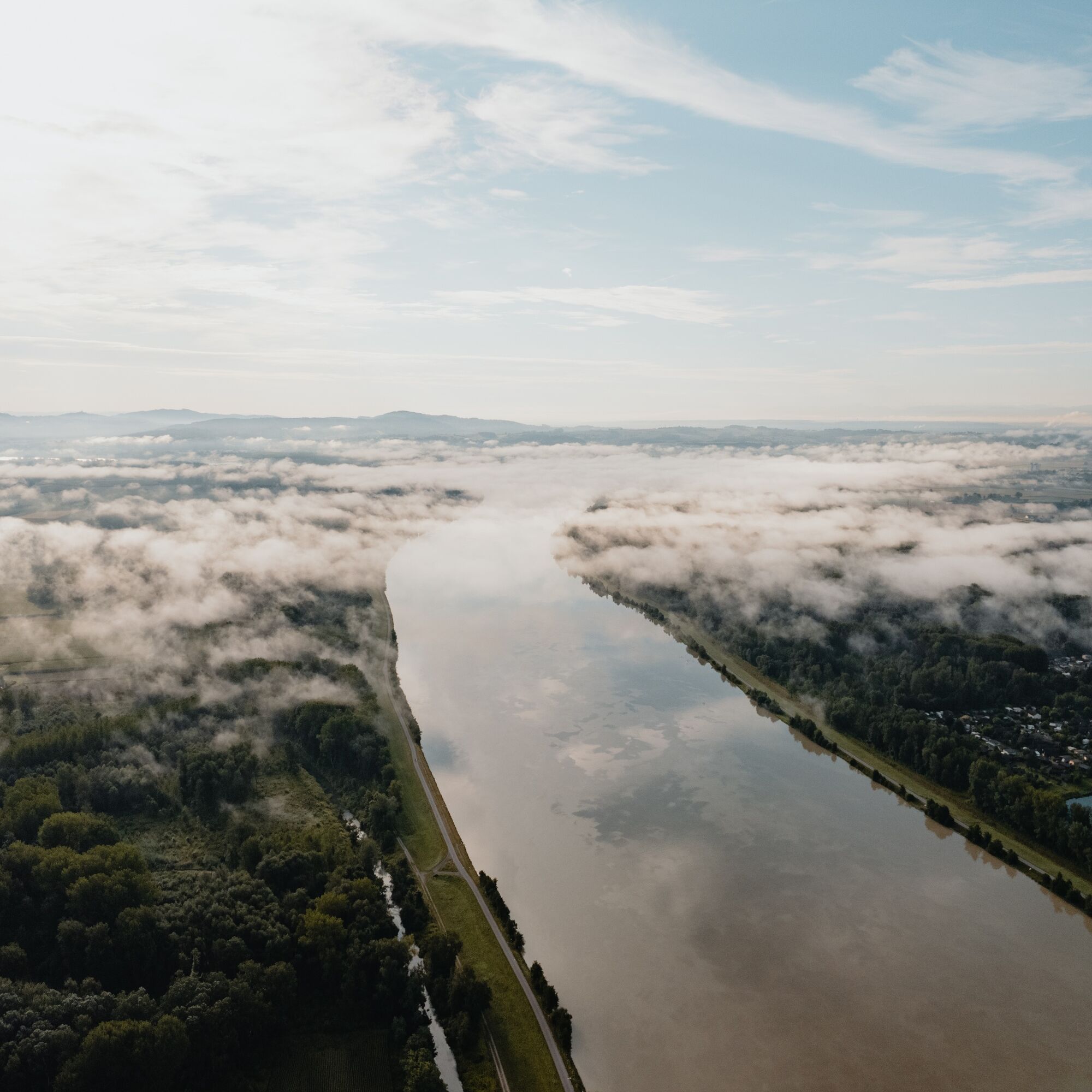
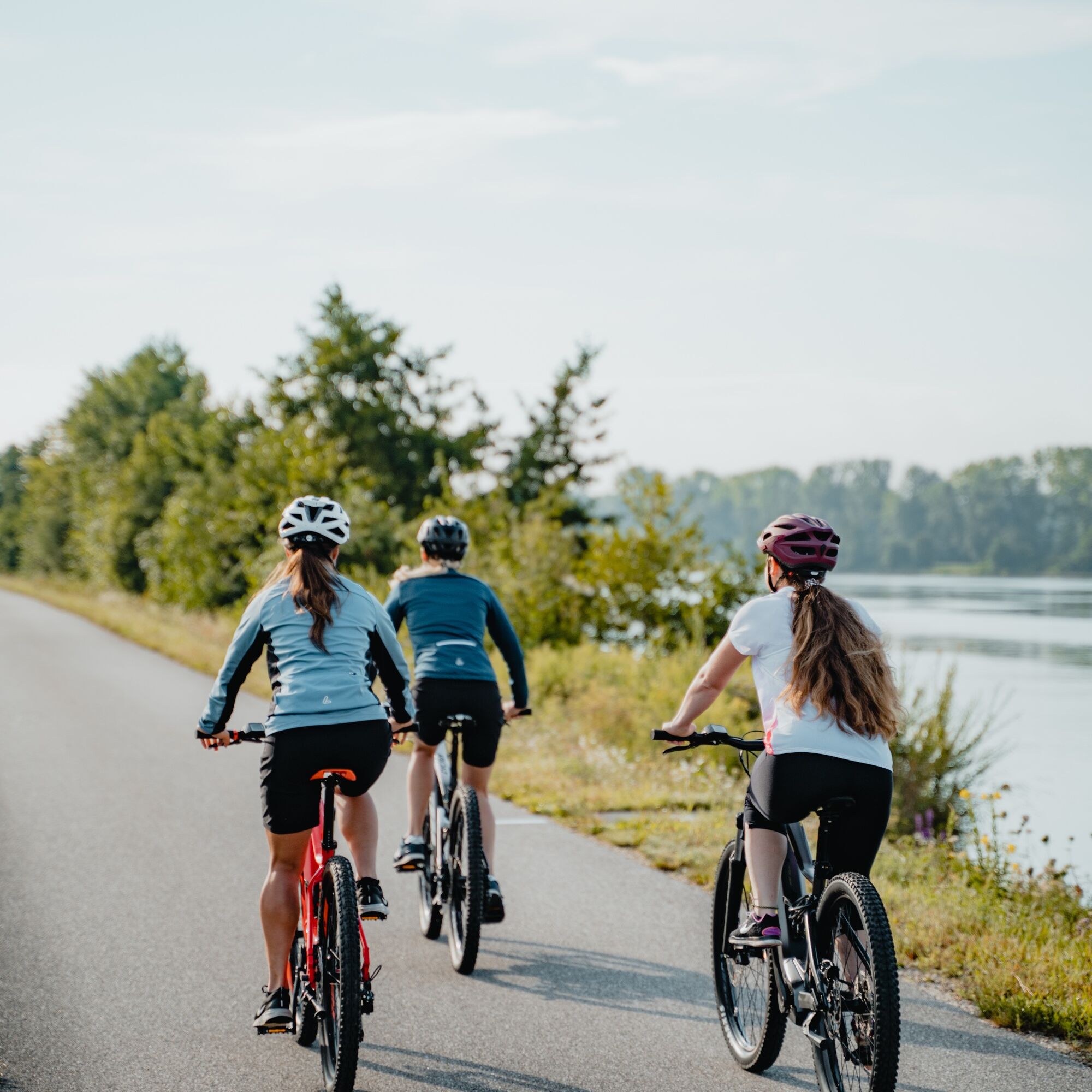
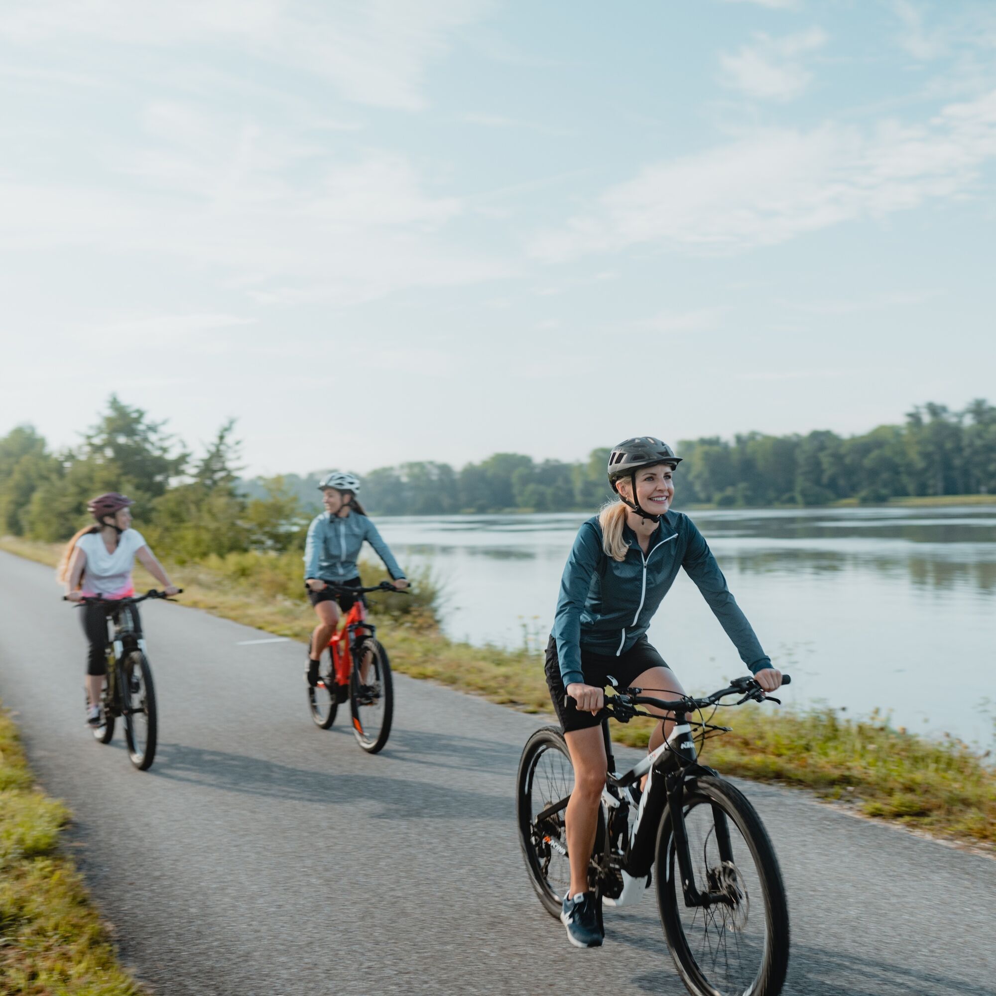
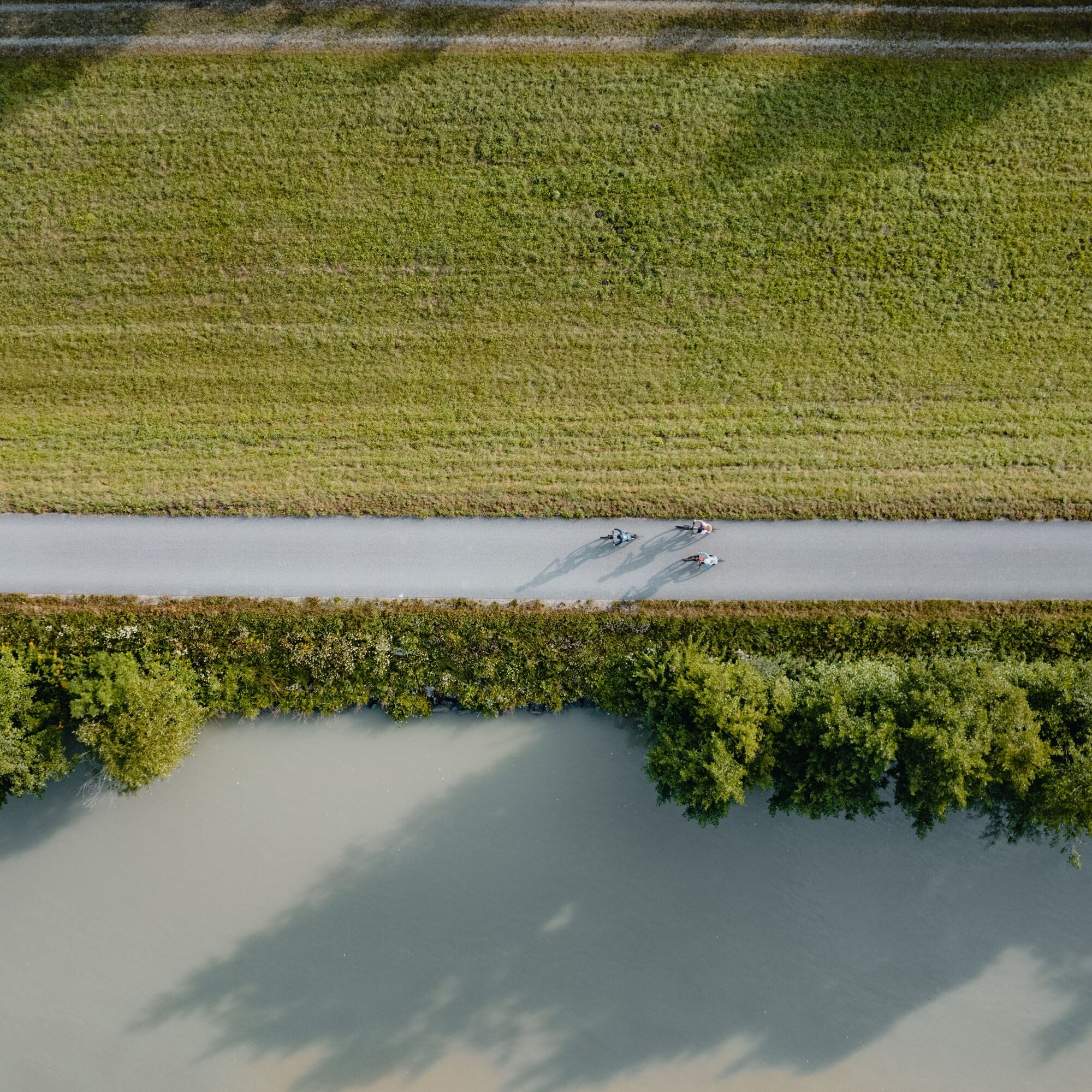
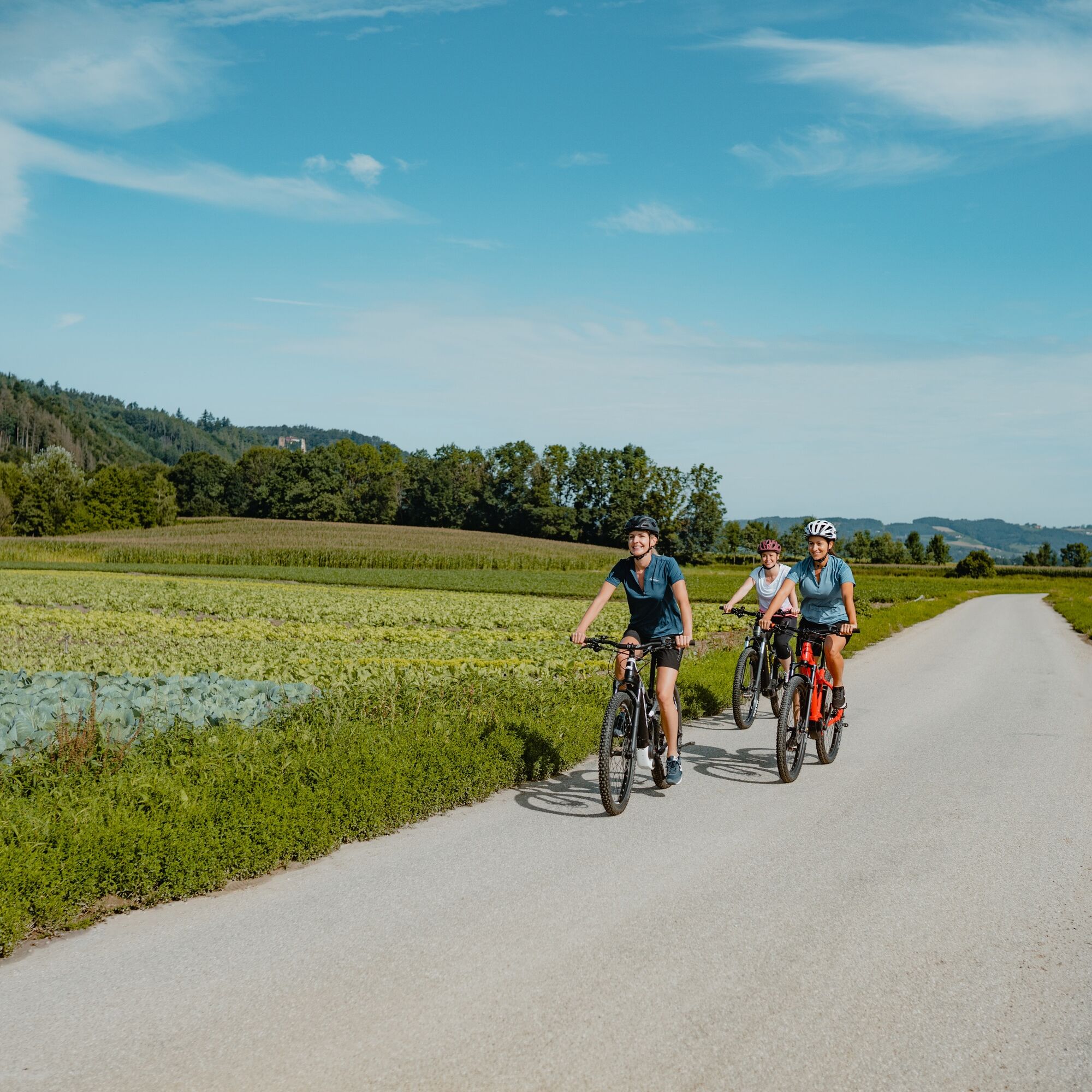
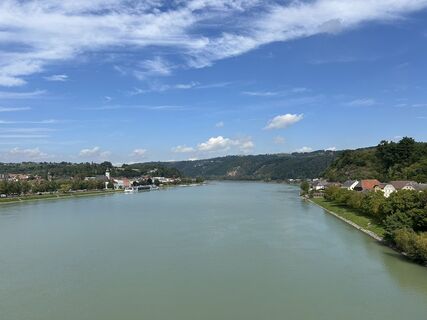
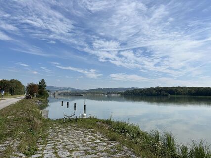
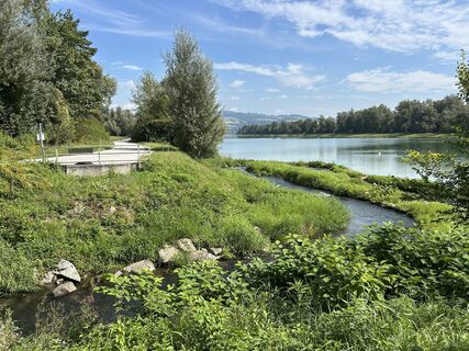
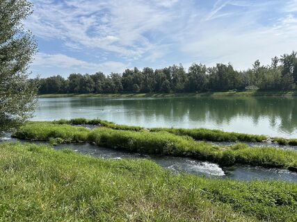
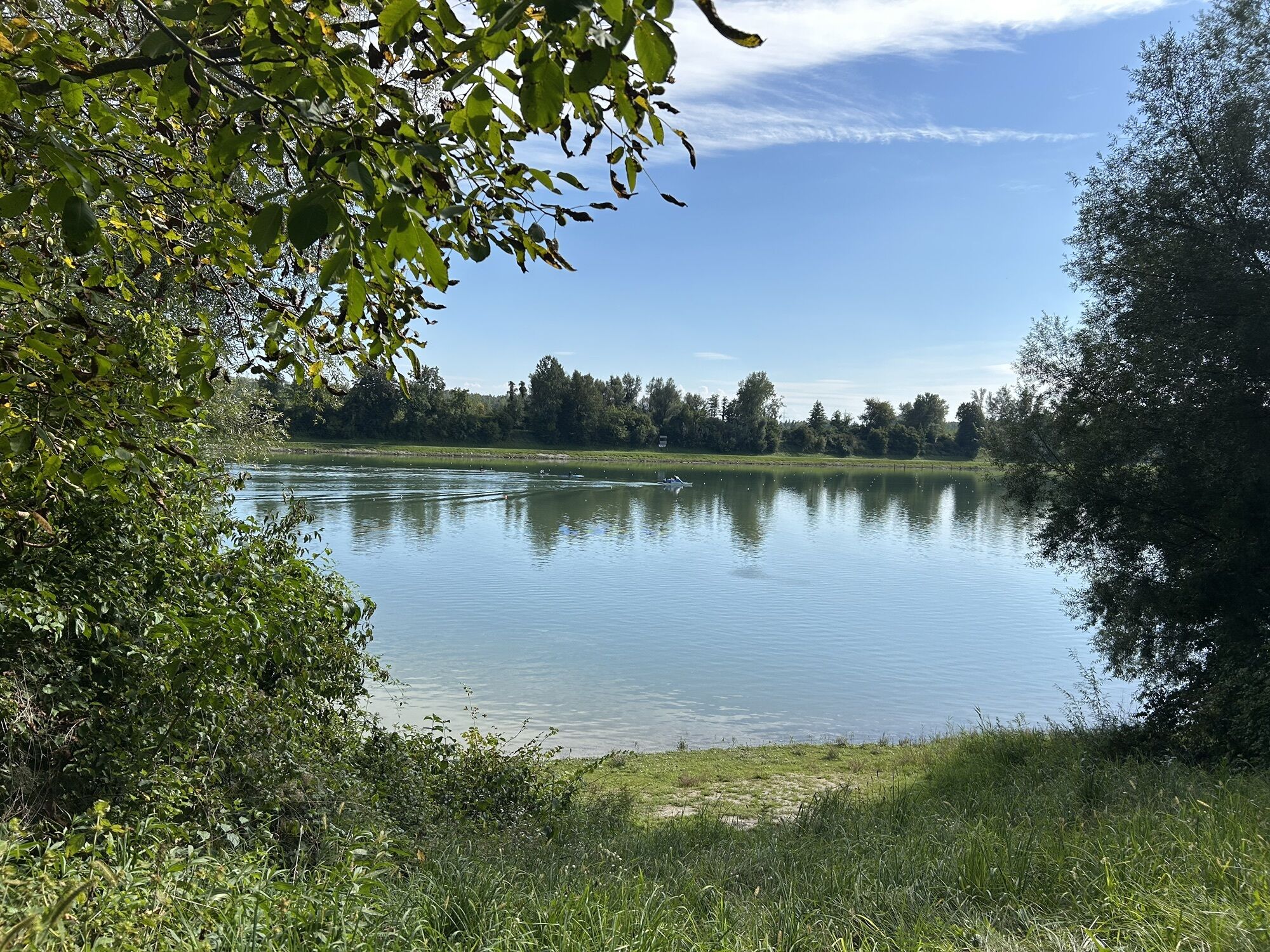
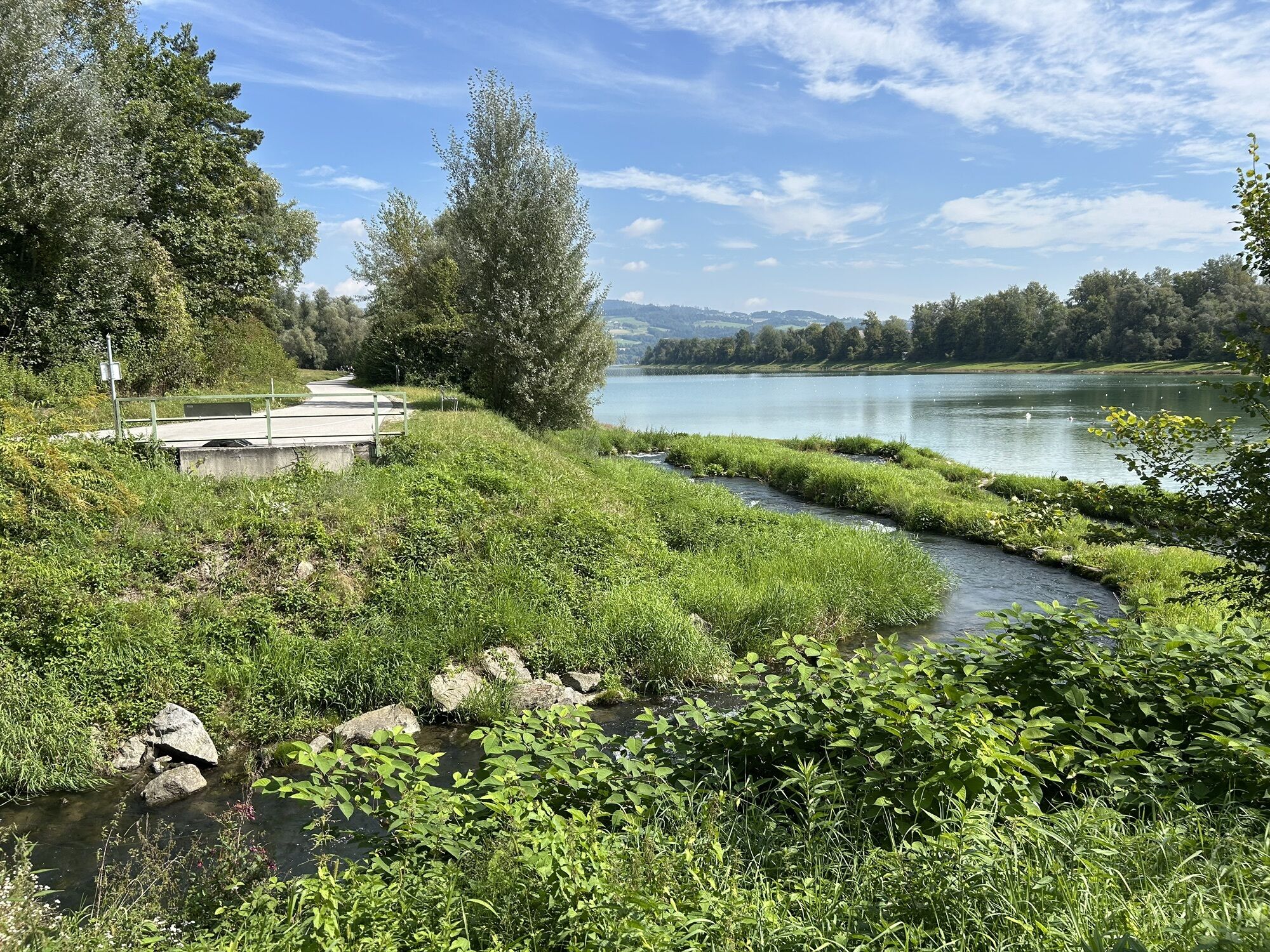
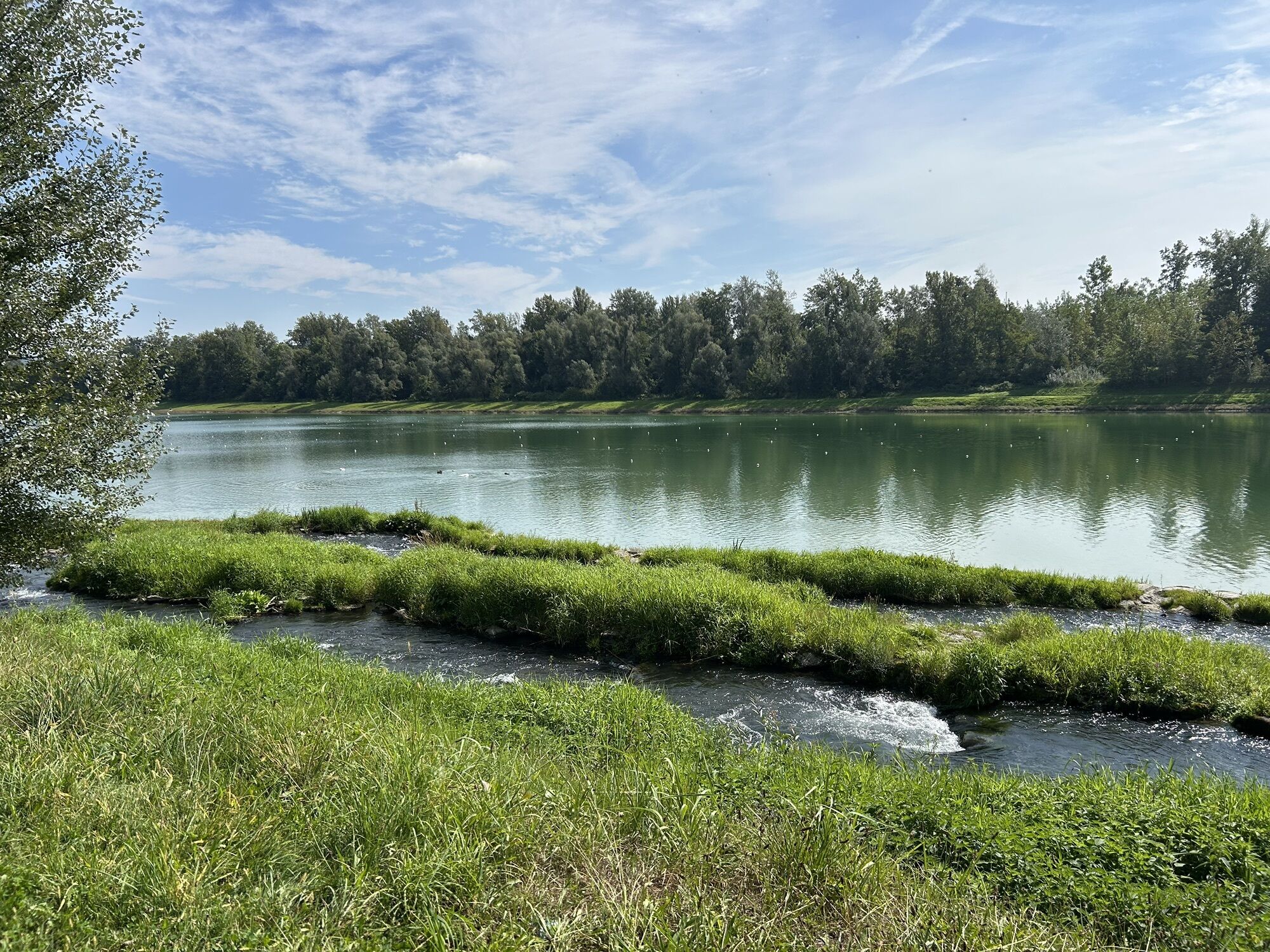
The Eferding Basin - once dominated by floodplain landscape crisscrossed by the meanders of numerous Danube arms, this large landscape basin was dangerous and arduous to cross. Today, a contrasting natural and cultural landscape delights with relaxed pleasure cycling at its best. A perfect start is the historic Danube market in Ottensheim. Located at the end of the Eferding Basin, this place has long been an important ferry crossing. The picturesque market square tells of a long tradition as a trading hub. A Danube highlight! From the ferry dock, you first cycle along charming riverside houses upstream and arrive in a loop at a forest-surrounded old Danube arm. This was deliberately preserved after the construction of the Ottensheim-Wilhering power plant and has since served as an international rowing regatta course. An idyllic bike path runs along the old Danube. Shortly after, you reach the (new) mighty Danube stream again. On the left is the impressive Ottensheim-Wilhering power plant. On the right, you ride proudly on the Danube embankment along the legendary Danube cycle path Treppelweg upstream.
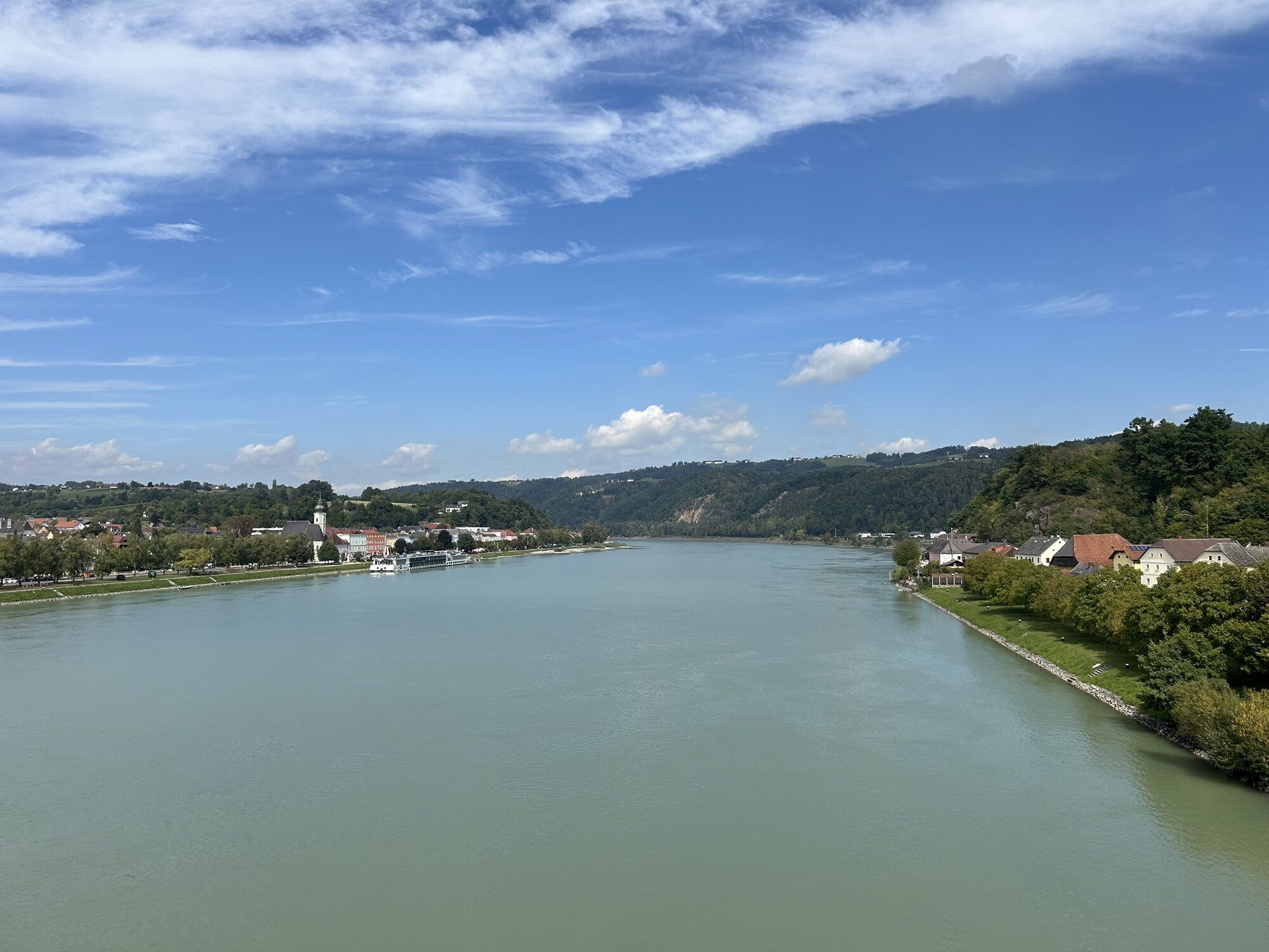
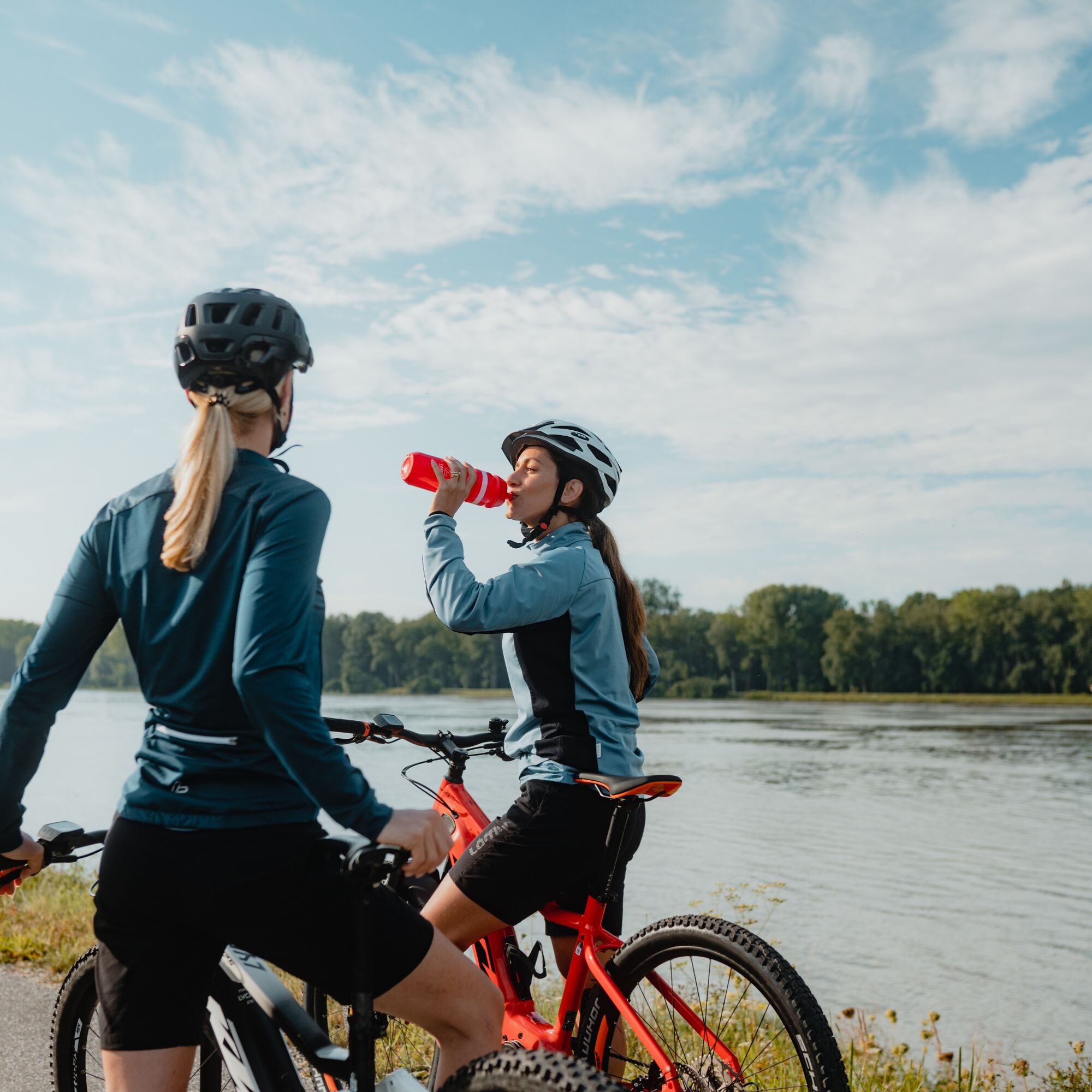
The bike runs smoothly, a breeze refreshes, the tires hum... pure river cycling! Rustic riverside floodplain forests turn your gaze inward. They remind you of a time when even boatmen had difficulty passing through the extensive floodplain landscape. By the Feldkirchen bathing lakes, the riverside forests thin out. Soon after, you leave the mythical river. Now you pedal enjoyably on farm roads in a wide arc through a mosaic of fertile fields - past large four-sided farmsteads, artistic wayside shrines, and the charming market town of Feldkirchen - to the Danube bridge in Aschach. On clear days, the ride over the tall bridge surprises with an incredible view of the Alps. With the historic Danube market Aschach, you have reached the start of the Eferding Basin. Congratulations! Here, too, a ferry crossing has long been important. The picturesque town center impresses with its market square open towards the Danube (!) and richly decorated townhouses. Both tell of prosperity as a trade hub on the Danube bank. A true Danube gem!
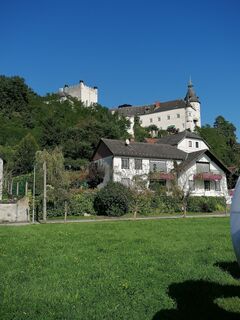
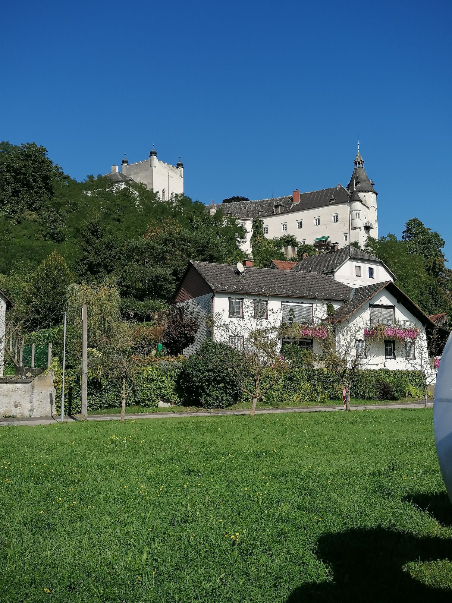
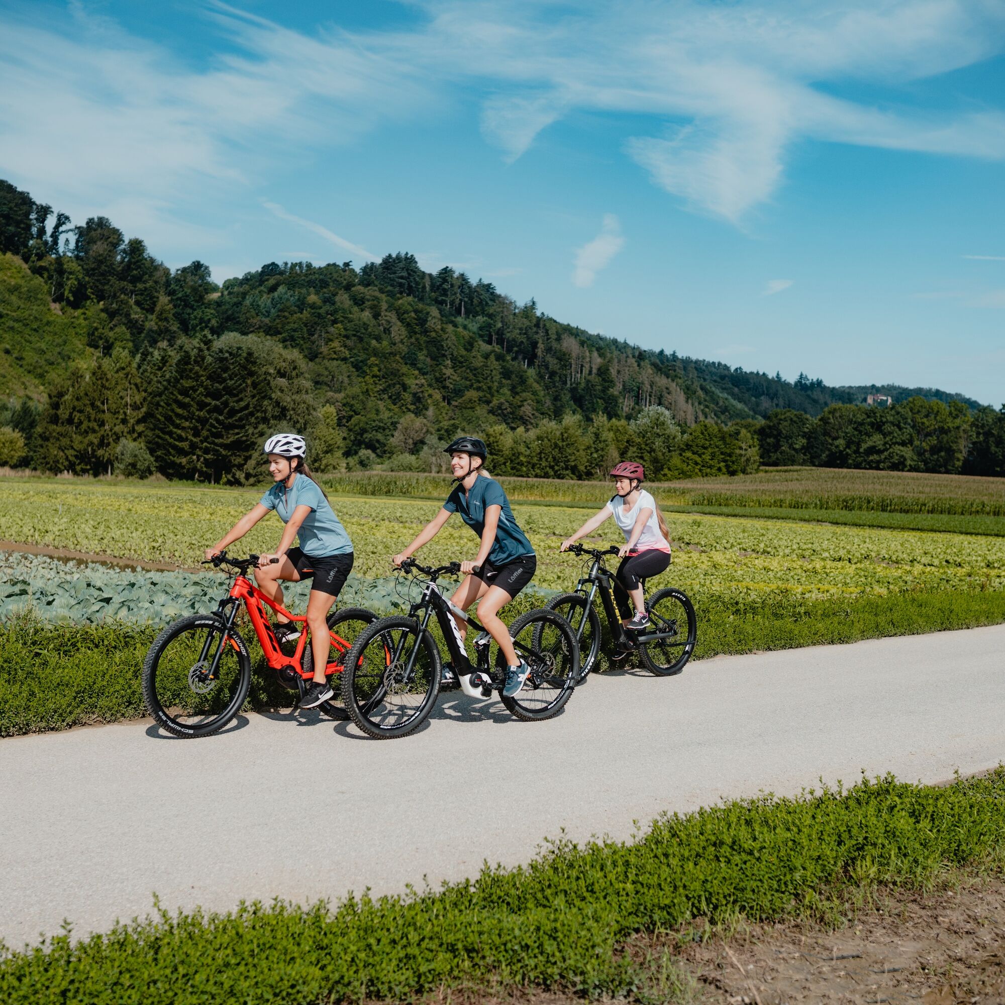
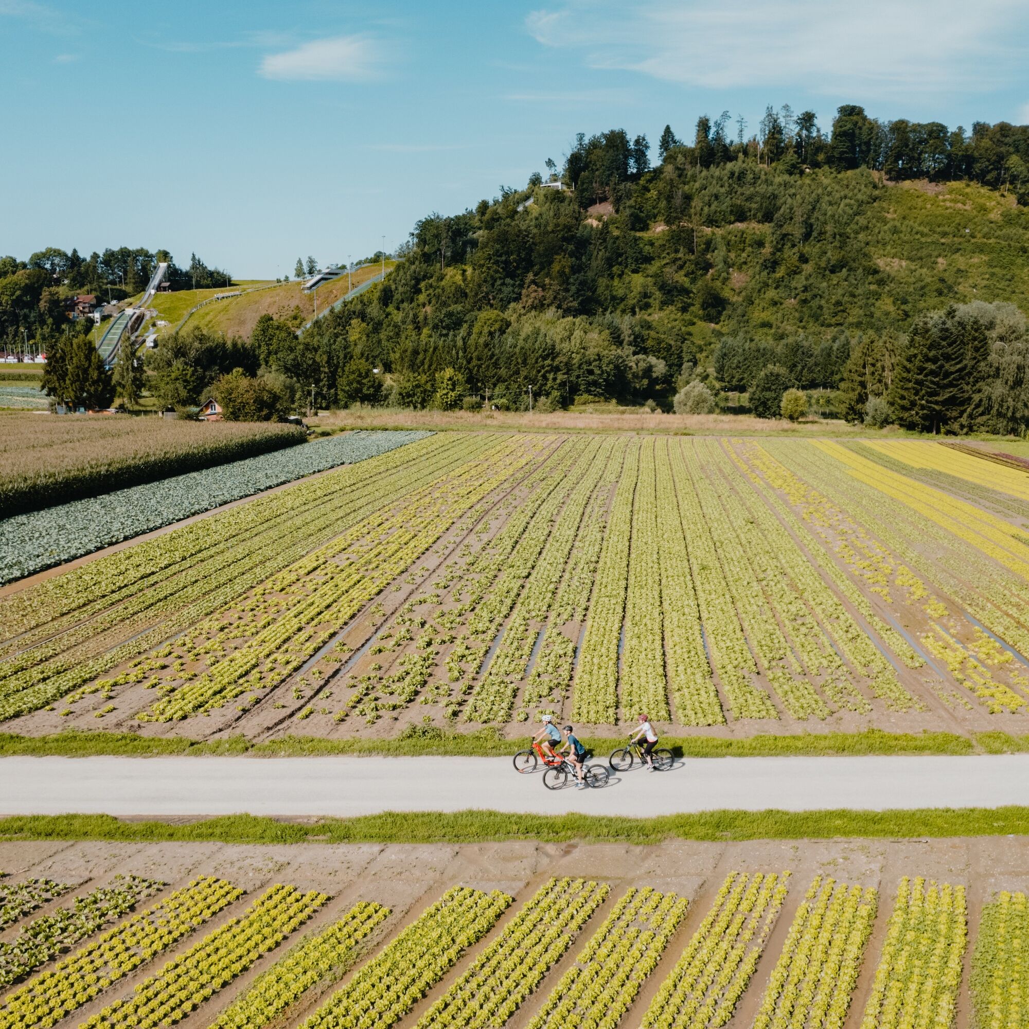
After the diverse impressions, the easy ride downstream on the Treppelweg offers a relaxing break - feeling the flow and wandering thoughts. In Brandstatt, you leave the Danube channel and cycle on farm roads through lush vegetable fields into the plain. On the ridge above the plain watches the Schaunberg castle ruins, Upper Austria's largest castle complex! And in the rural village of Pupping, the small monastery complex reveals itself as the death place of St. Wolfgang! After Seebach, bike paths accompany a main road into the center of the Eferding Basin, the city of Eferding. It is the third oldest city in Austria and enchants with a magnificent city center: the magnificent city square with Starhemberg castle, the Eferding "cathedral"... A Danube highlight! Incidentally, the city is part of the famous medieval Nibelungenlied.
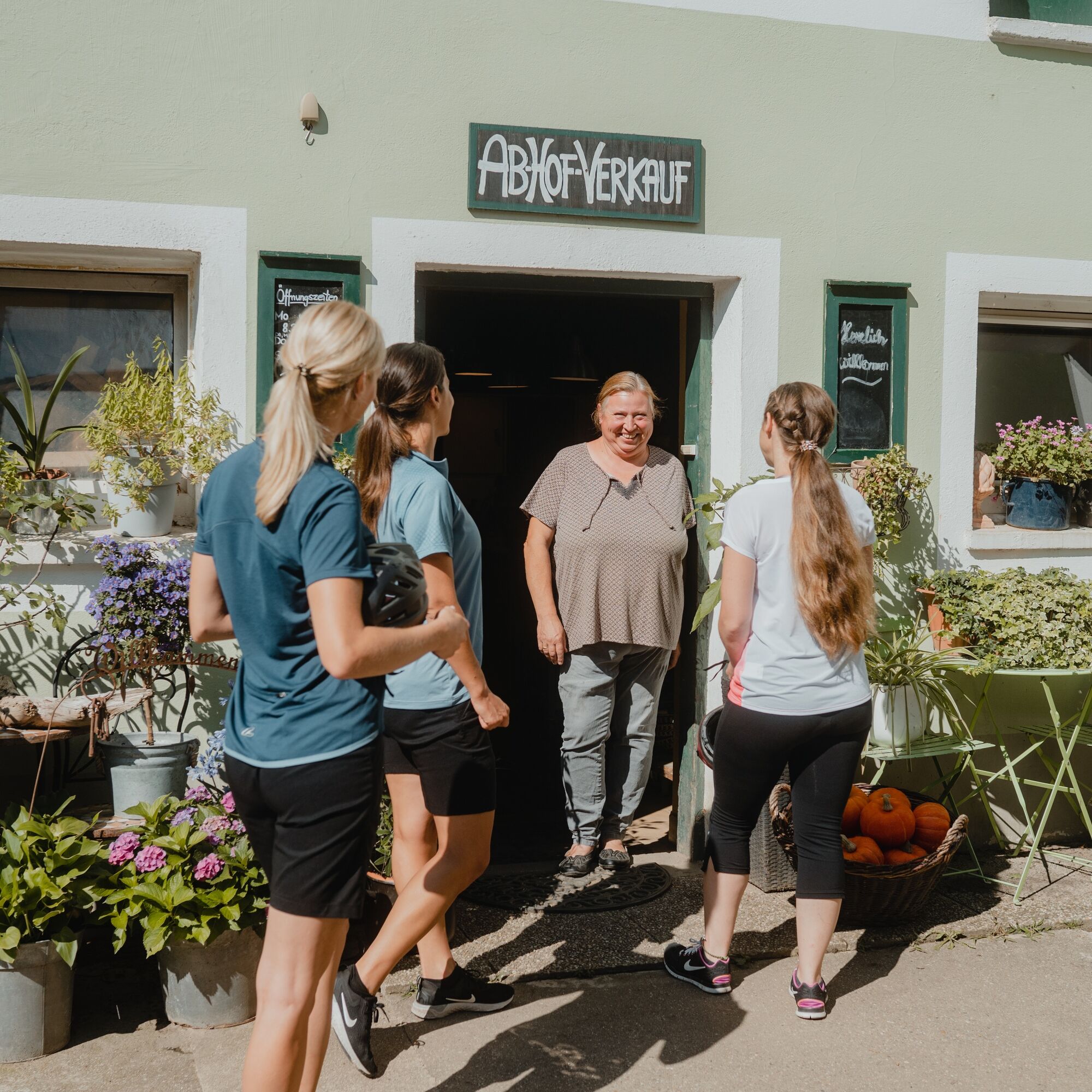
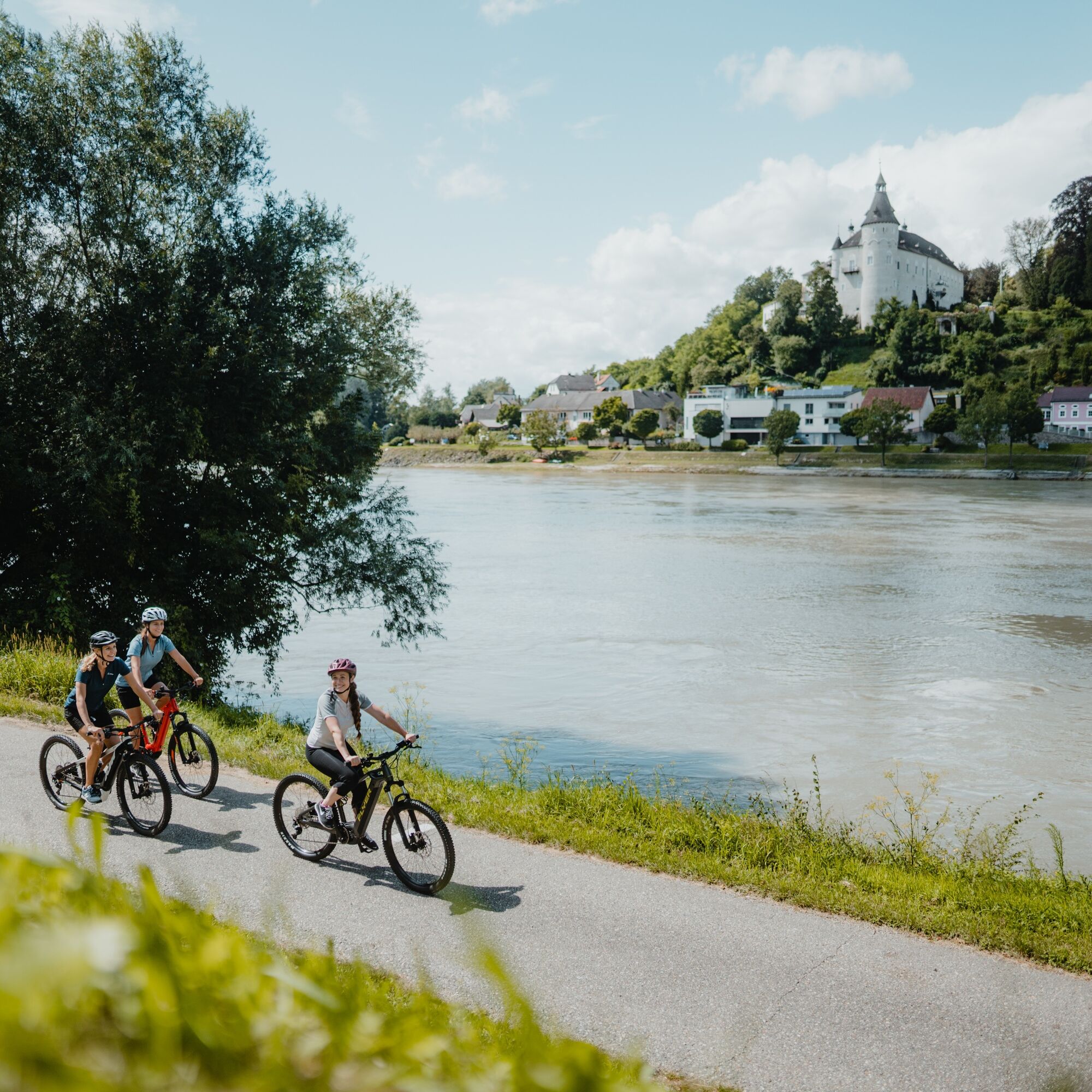
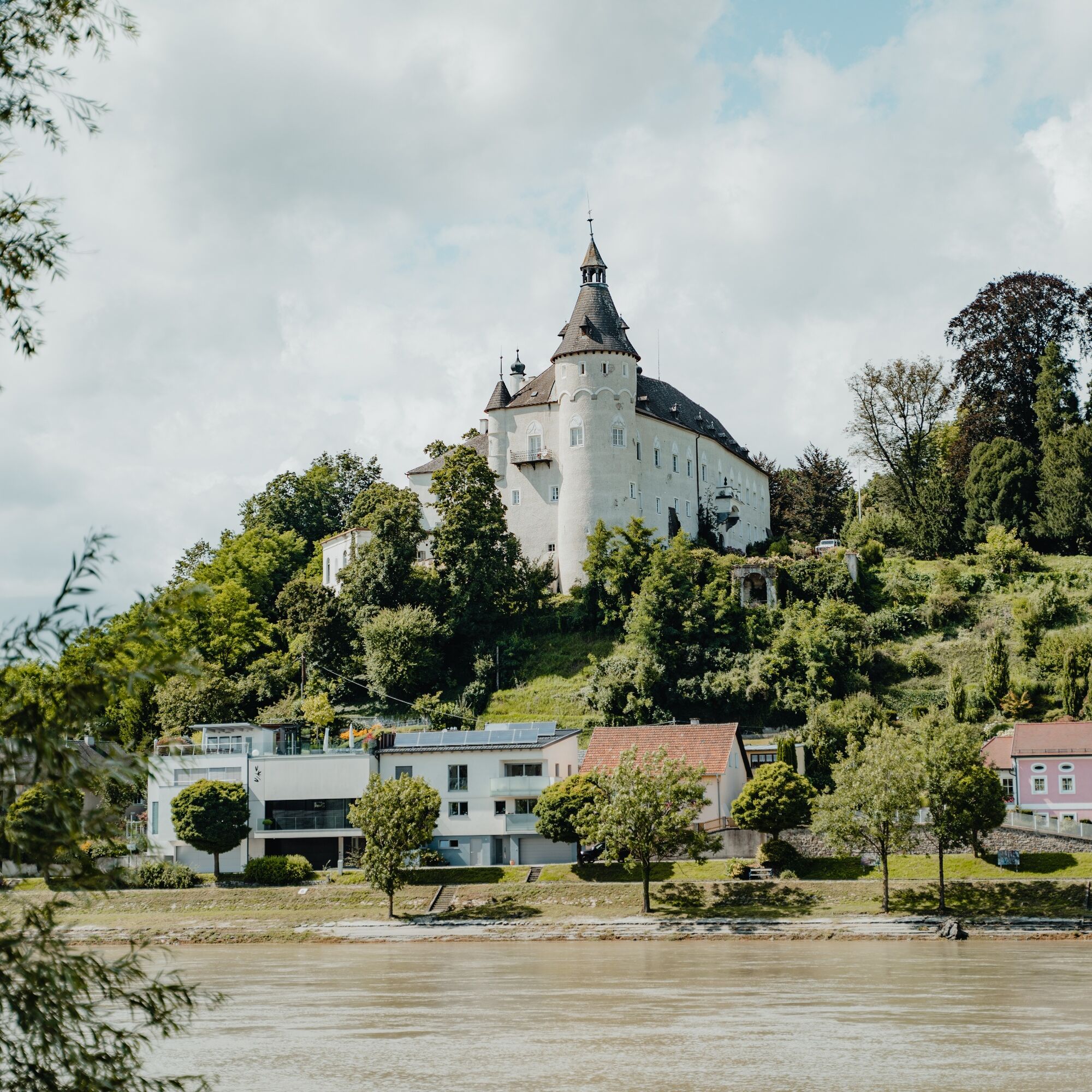
Afterwards, you meander on quiet farm roads enjoyably through rural cultural landscape: fertile fields, vegetable cultivation, large farms, direct sales, wayside shrines,... – pure Eferding Basin idyll! Shortly before Wilhering, you plunge one last time into a rustic riverside floodplain forest. Then, at the Wilhering ferry dock, you get a splendid view of Ottensheim castle along with its market. The crossing with the cable ferry, the first went into operation here in 1871, is the final highlight even for technically less interested countryside folk.
Ja
This pleasure cycling round trip leads entirely over quiet, paved (side) roads and bike paths.
Please observe the operating times of the Ottensheim cable bridge for the final crossing to Ottensheim. If it is not in operation, you can cross the Danube bank 2.2 km before the Wilhering ferry landing via the Ottensheim-Wilhering power plant and complete the loop.
Signage:
To make orientation easier for you, the Danube cycle rounds were marked with their own bike guidance system. This round follows the signage "R1.09 Eferding Land-Round".
How to arrive in the Danube Region of Upper Austria?
The fastest way to your destination – by train, bus, car, ship, or plane.
1
Discovery journeys with a delightful stop! This route leads directly past the following culinary partners:Hotel Restaurant Fautschlöss'lThalhammersWirtshaus Wögerer
Populære turer i nabolaget
-
4,7
Prinzensteig Rundweg
lysVandring 13,7 km -
4,3
Pesenbachtal - Kerzenstein
lysVandring 7,45 km -
3,8
Donausteig stage 3_S05 Wilhering - Linz: “Over the Prinzensteig through the Linz Gate”
middelslangdistanse tursti 13,2 km -
4,2
Linz: City Hiking Trail Pöstlingberg
middelsVandring 7,71 km -
4,2
Kirschblütenwanderung
lysTemaløype 9,04 km -
4,3
Kurze Herbstwanderung am Kürnberg
lysVandring 4,07 km -
4,9
Kreuzweg auf den Pöstlingberg Linz, Österreich
lysVandring 1,30 km -
5,0
Wilson Holz Pesenbach Round Trail
lysVandring 7,53 km -
4,8
Kerzenstein - Pesenbachtal
lysVandring 7,62 km -
4,4
Bleicherbachrunde
lysVandring 9,06 km

Vandring og sporing


Ikke gå glipp av tilbud og inspirasjon til din neste ferie
E-postadressen din har blitt lagt til på adresselisten.