


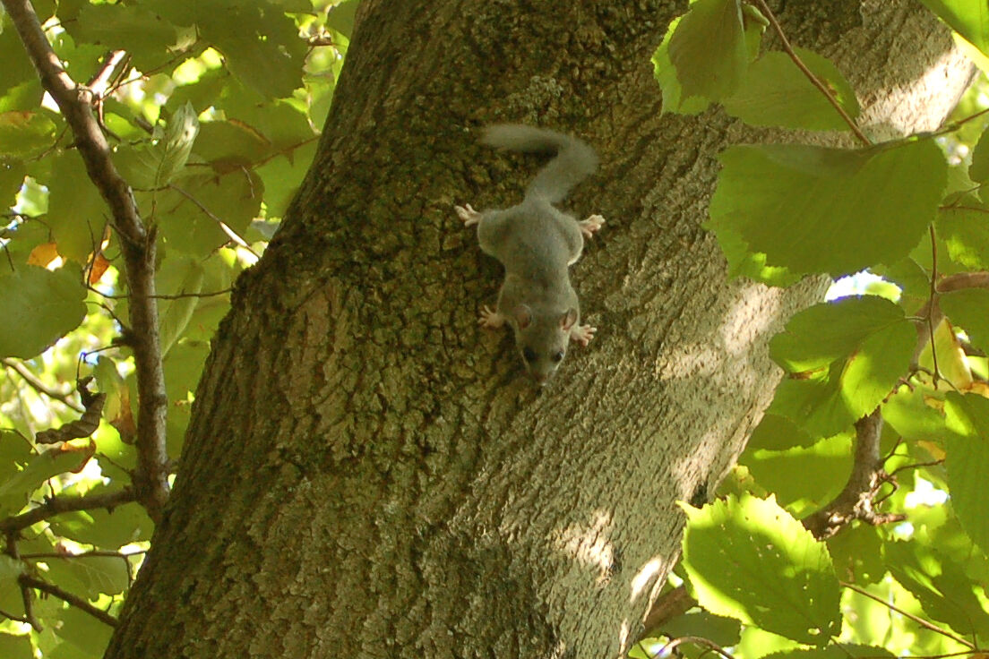
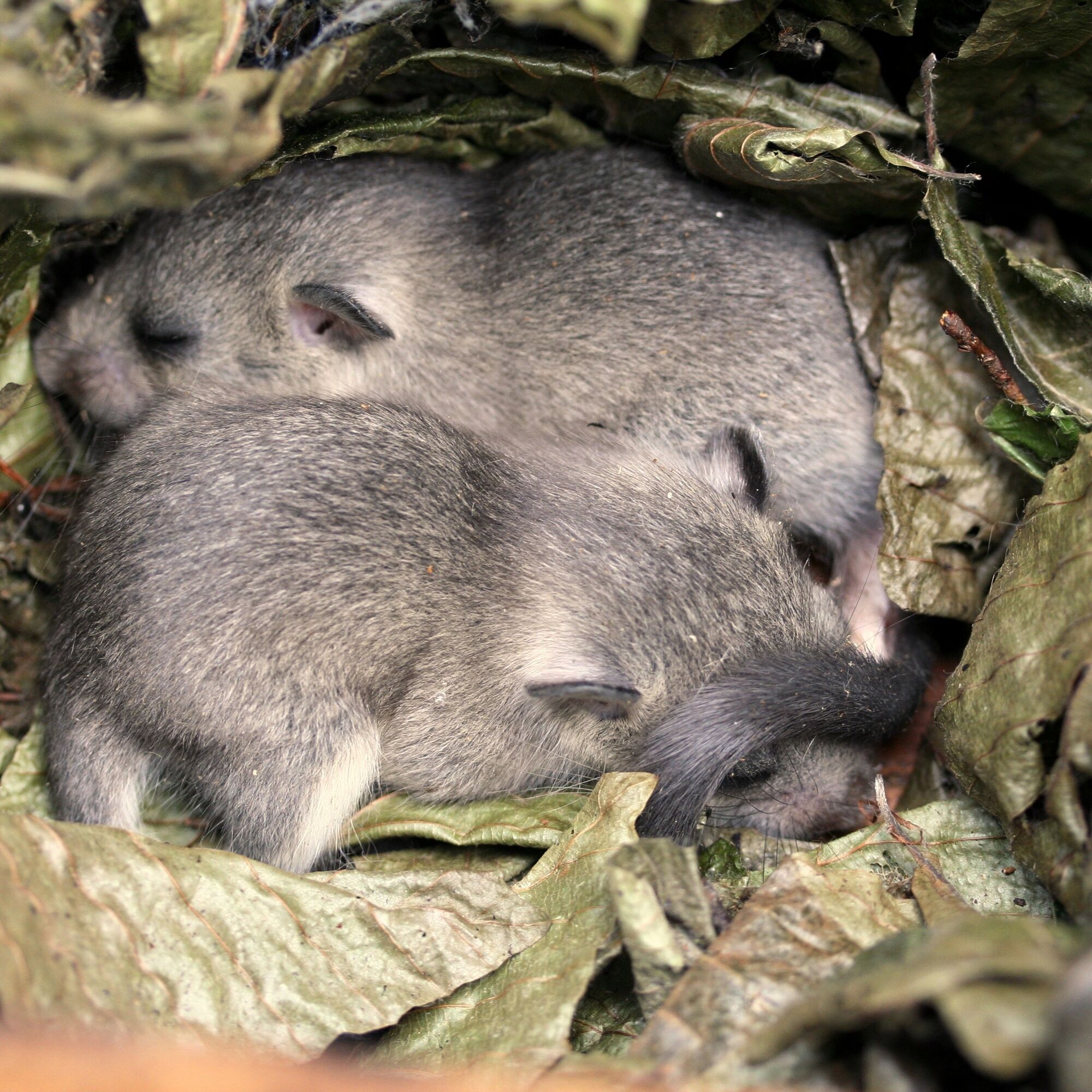
Tip/Fun-Fact: Orchard meadows are an important cultural component and habitat for many animal species in the BPWW. For the tenth anniversary, each of the 51 Lower Austrian municipalities in the BPWW, as...
Tip/Fun-Fact: Orchard meadows are an important cultural component and habitat for many animal species in the BPWW. For the tenth anniversary, each of the 51 Lower Austrian municipalities in the BPWW, as well as the seven Vienna districts, was gifted a fruit tree.

We start our hike at Eichgraben/Altlengbach station and follow Karl-Föderl-Straße to Gartensteig. Straight downhill, we reach the main street via Huttenstraße, which we follow to the left. On the way to the roundabout, we pass the Wienerwald Museum. At the roundabout, we walk along Friedhofstraße (yellow-green) to Gärtnerstraße. Here we turn left and follow hiking trail 5 until we turn left onto hiking trail 4 (yellow-green). We follow it to the fork in the path, where we turn right onto hiking trail 3 (yellow-green). Arriving at the meadow, we follow the signposts left towards the Roman hiking trail into the forest until we reach a signpost towards the Höhenwanderweg. We follow the left path (yellow-green, blue) to the T-junction. Here we walk downhill back to the meadow and follow the sign towards the Eichgraben local loop (blue) to Rittsteigstraße. From there we go downhill to the main road and from there turn left to Rekawinkel station.
Ja
Sturdy footwear, water, rain protection
Despite the most careful research, there may be unforeseen short-, medium- or even long-term closures on the routes (e.g. due to forestry closures by landowners). Parking options recommended by us may be private or subject to charges – please pay attention to the signage on site. Some paths may pass in sections or entirely through chargeable businesses/areas (e.g. nature parks or gorges). This is usually explicitly pointed out in the description. All information is provided without guarantee and the use of the paths is at your own risk. Any path closures as well as notices from hunters and landowners must be observed.
Starting point: By train or bus to the stop "Bahnhof Eichgraben/Altlengbach"
End point: By train or bus to the stop "Bahnhof Rekawinkel"
P+R Bhf. Eichgraben/Altlengbach
P+R Bhf. Rekawinkel
Wienerwald Tourismus GmbH
Hautplatz 11, 3002 Purkersdorf
Tel.: 02231/62176
E-Mail: office@wienerwald.info
Website: www.wienerwald.info
Refreshment options along the route
Gasthaus Mayer
Populære turer i nabolaget
-
4,7
Schöpfl
lysVandring 9,52 km -
3,9
Schöpfl von Sankt Corona
middelsVandring 10,1 km -
4,5
von Purkersdorf zur Rudolfshöhe
lysVandring 4,72 km -
4,8
Rundwanderung Gablitz Gemeindeamt - Troppberg - Rabenstein - Gablitz Gemeindeamt
lysVandring 12 km -
4,2
Von St. Corona auf den Schöpfl - Angelos Touren
lysVandring 6,68 km -
4,1
INNERMANZING Schoderleh Falkensteiner Htt. Hasenriegel Forsthof Edhof ret. 20230114
lysVandring 13,1 km -
4,7
Schöpfl von Kammhöhe aus
lysVandring 13,2 km -
4,3
Rund um den Georgenberg Purkersdorf, Niederösterreich
middelsVandring 7,10 km -
3,7
Rundweg von Purkersdorf auf die Rudolfshöhe
middelsVandring 10,8 km -
4,0
RIEDERBERG Klosterruine Schliefgraben Sandling Heinratsberg Troppberg Rabenstein 20210518
middelsVandring 14,2 km

Vandring og sporing


Ikke gå glipp av tilbud og inspirasjon til din neste ferie
E-postadressen din har blitt lagt til på adresselisten.