


Bilder av brukerne våre
-

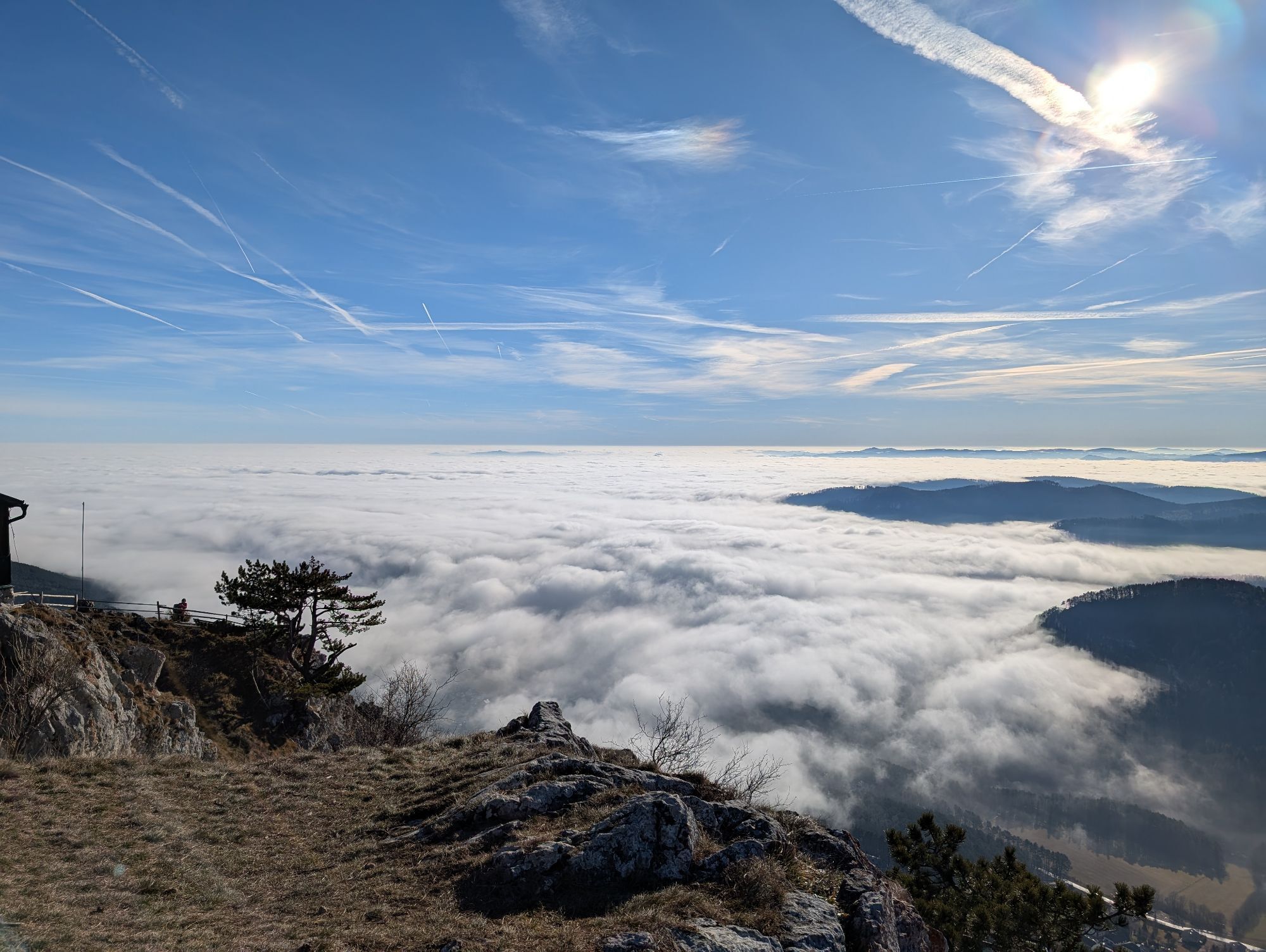
 © Patrick82Opprettet den 23.11.2025
 -
 © Patrick82Opprettet den 23.11.2025
 -
 © Patrick82Opprettet den 23.11.2025
 -
 © Patrick82Opprettet den 23.11.2025
 -
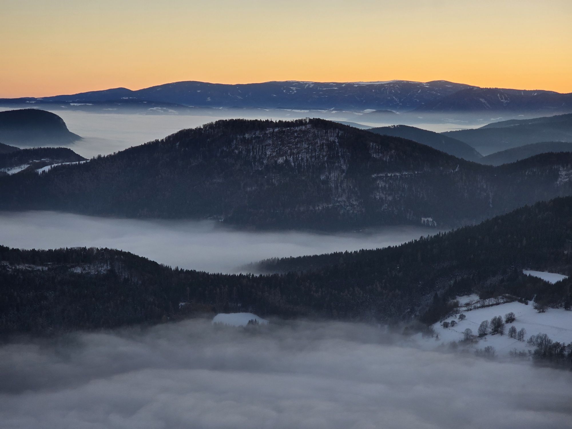
 © Regina FleischmannOpprettet den 16.11.2025
 -
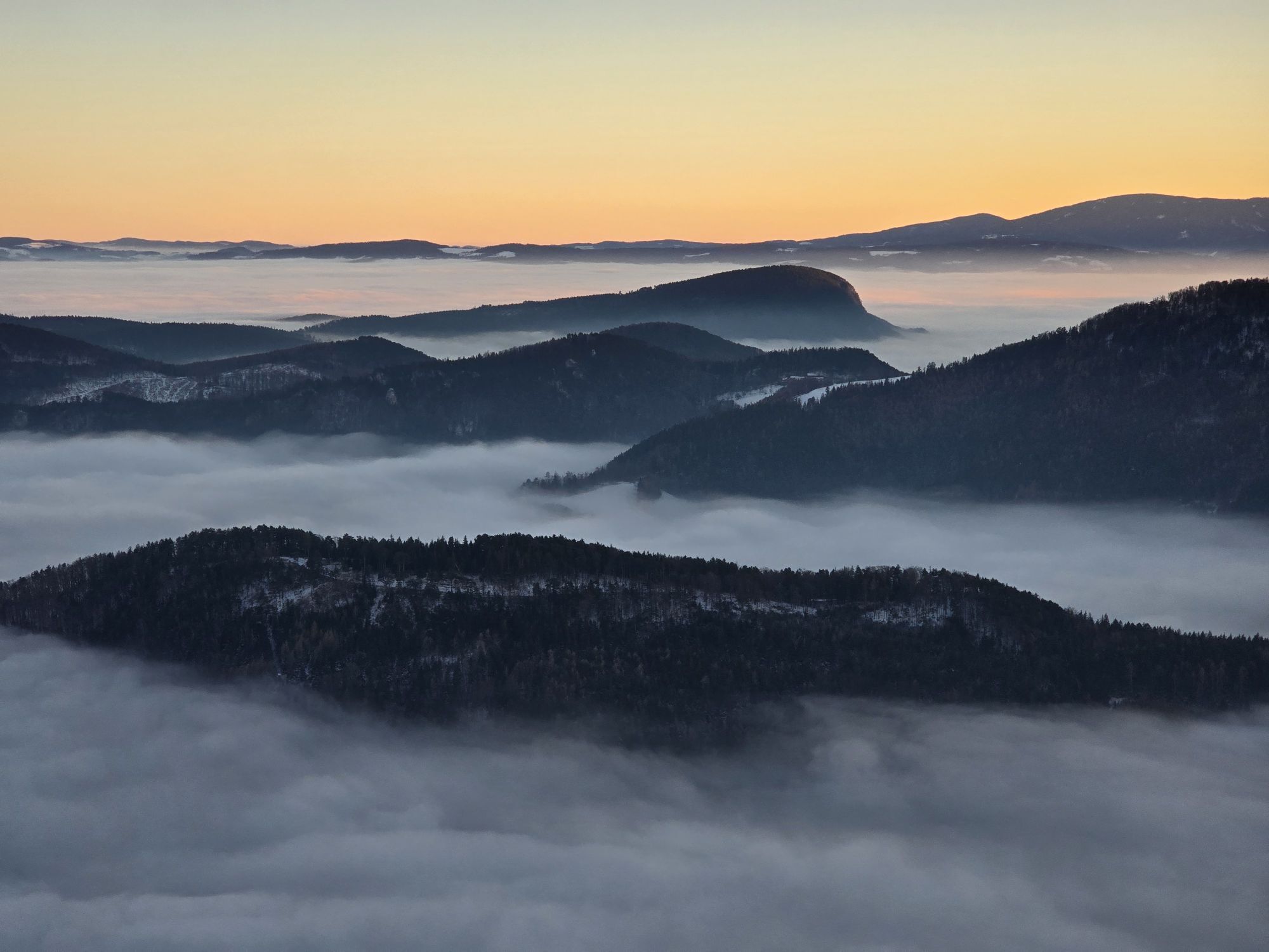
 © Regina FleischmannOpprettet den 16.11.2025
 -
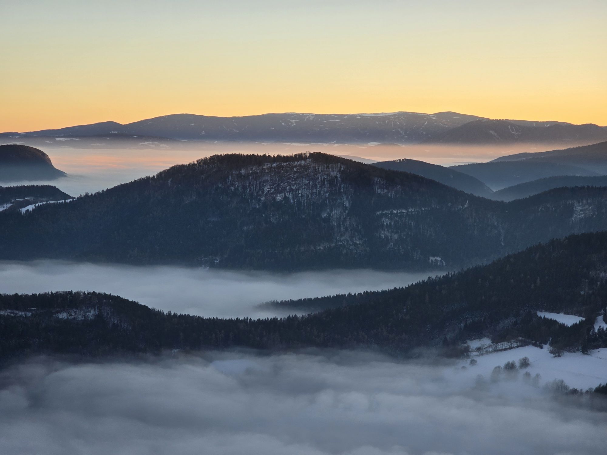
 © Regina FleischmannOpprettet den 16.11.2025
 -
 © Regina FleischmannOpprettet den 16.11.2025
 -
 © Regina FleischmannOpprettet den 16.11.2025
 -
 © Regina FleischmannOpprettet den 16.11.2025
 -
 © Regina FleischmannOpprettet den 16.11.2025
 -
 © Regina FleischmannOpprettet den 16.11.2025
 -
 © Regina FleischmannOpprettet den 16.11.2025
 -
 © Regina FleischmannOpprettet den 16.11.2025
 -
 © Regina FleischmannOpprettet den 16.11.2025
 -
 © Regina FleischmannOpprettet den 16.11.2025
 -
 © Regina FleischmannOpprettet den 16.11.2025
 -
 © Regina FleischmannOpprettet den 16.11.2025
 -
 © BergpiratOpprettet den 30.07.2025
 -

 © Verena OberleitnerOpprettet den 22.02.2025
 -
 © Verena OberleitnerOpprettet den 22.02.2025
 -
 © BergpiratOpprettet den 22.02.2025
 -
 © Regina FleischmannOpprettet den 03.02.2025
 -
 © Regina FleischmannOpprettet den 03.02.2025
 -
 © Regina FleischmannOpprettet den 03.02.2025
 -
 © Regina FleischmannOpprettet den 03.02.2025
 -
 © Regina FleischmannOpprettet den 03.02.2025
 -
 © Regina FleischmannOpprettet den 03.02.2025
 -
 © Regina FleischmannOpprettet den 03.02.2025
 -
 © Regina FleischmannOpprettet den 03.02.2025
 -
 © Regina FleischmannOpprettet den 03.02.2025
 -
 © Regina FleischmannOpprettet den 03.02.2025
 -
 © Regina FleischmannOpprettet den 03.02.2025
 -

 © Leopold SchlögelhoferOpprettet den 25.01.2025
 -
 © TwilightTeaOpprettet den 19.01.2025
 -
 © TwilightTeaOpprettet den 19.01.2025
 -
 © TwilightTeaOpprettet den 19.01.2025
 -
 © TwilightTeaOpprettet den 19.01.2025
 -
 © TwilightTeaOpprettet den 19.01.2025
 -
 © TwilightTeaOpprettet den 19.01.2025
 -
 © ElfriedeLOpprettet den 02.01.2025
 -
 © BergpiratOpprettet den 25.11.2024
 -
 © BergpiratOpprettet den 25.11.2024
 -
 © BergpiratOpprettet den 25.11.2024
 -
 © BergpiratOpprettet den 25.11.2024
 -
 © BergpiratOpprettet den 25.11.2024
 -
 © BergpiratOpprettet den 25.11.2024
 -
 © BergpiratOpprettet den 25.11.2024
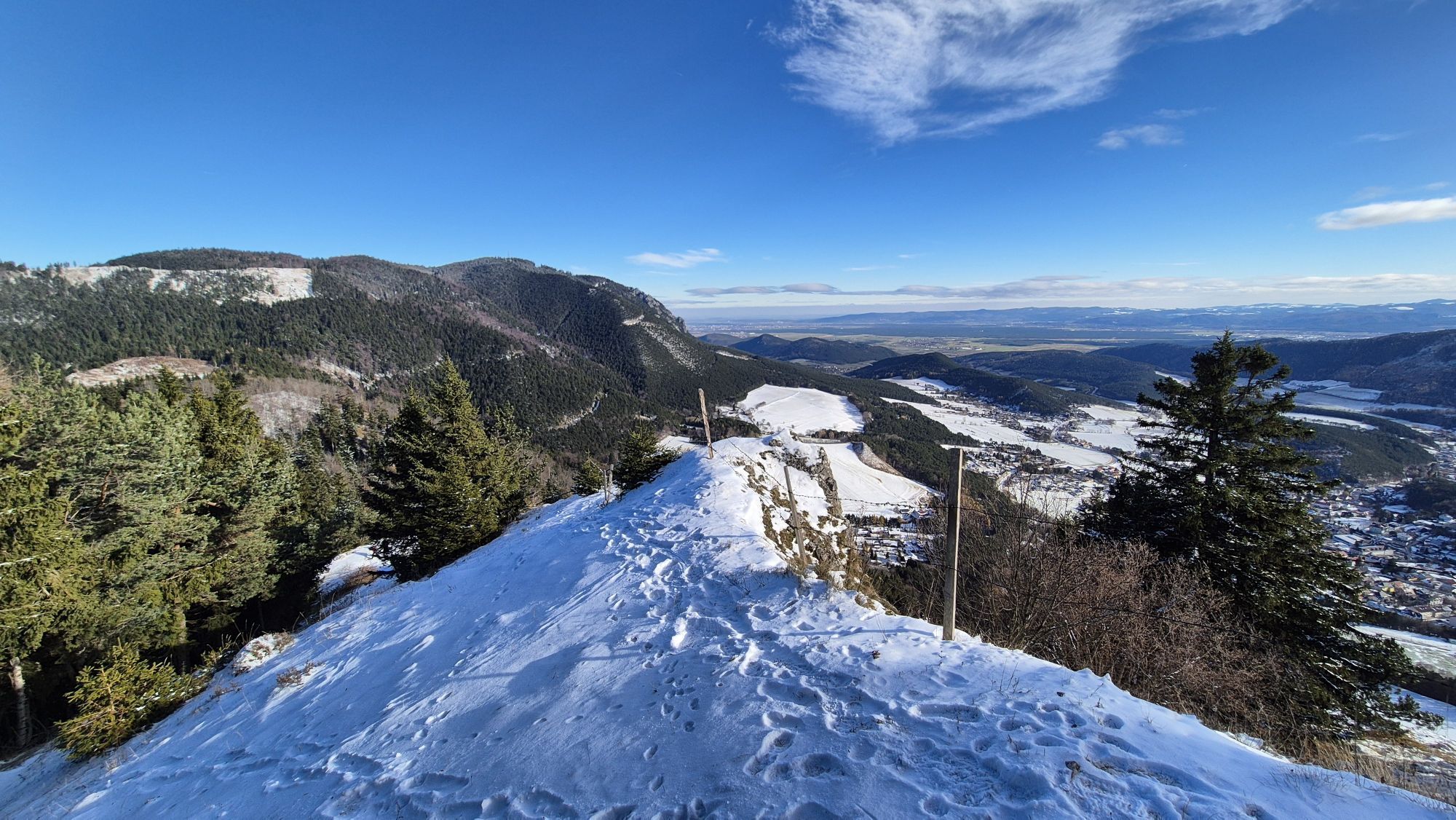
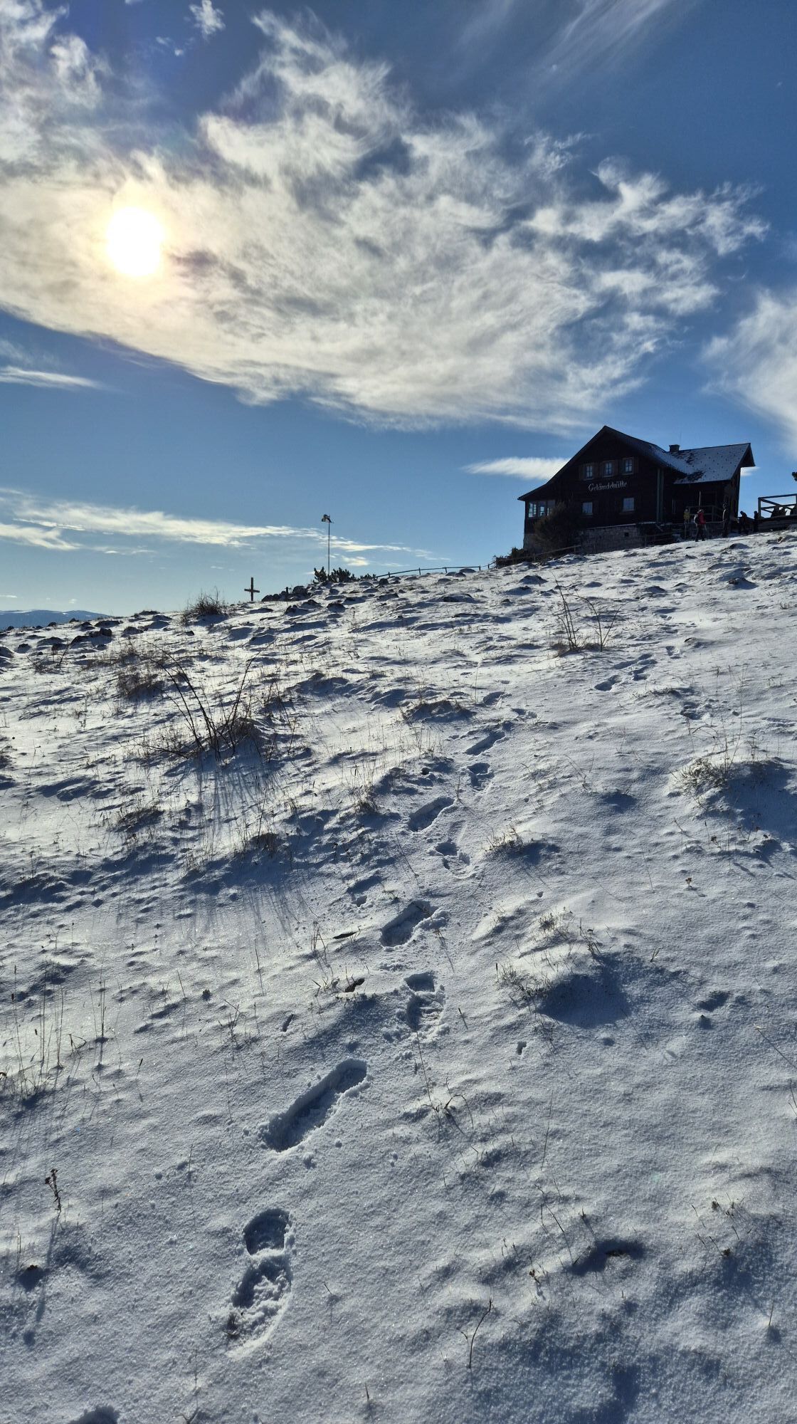
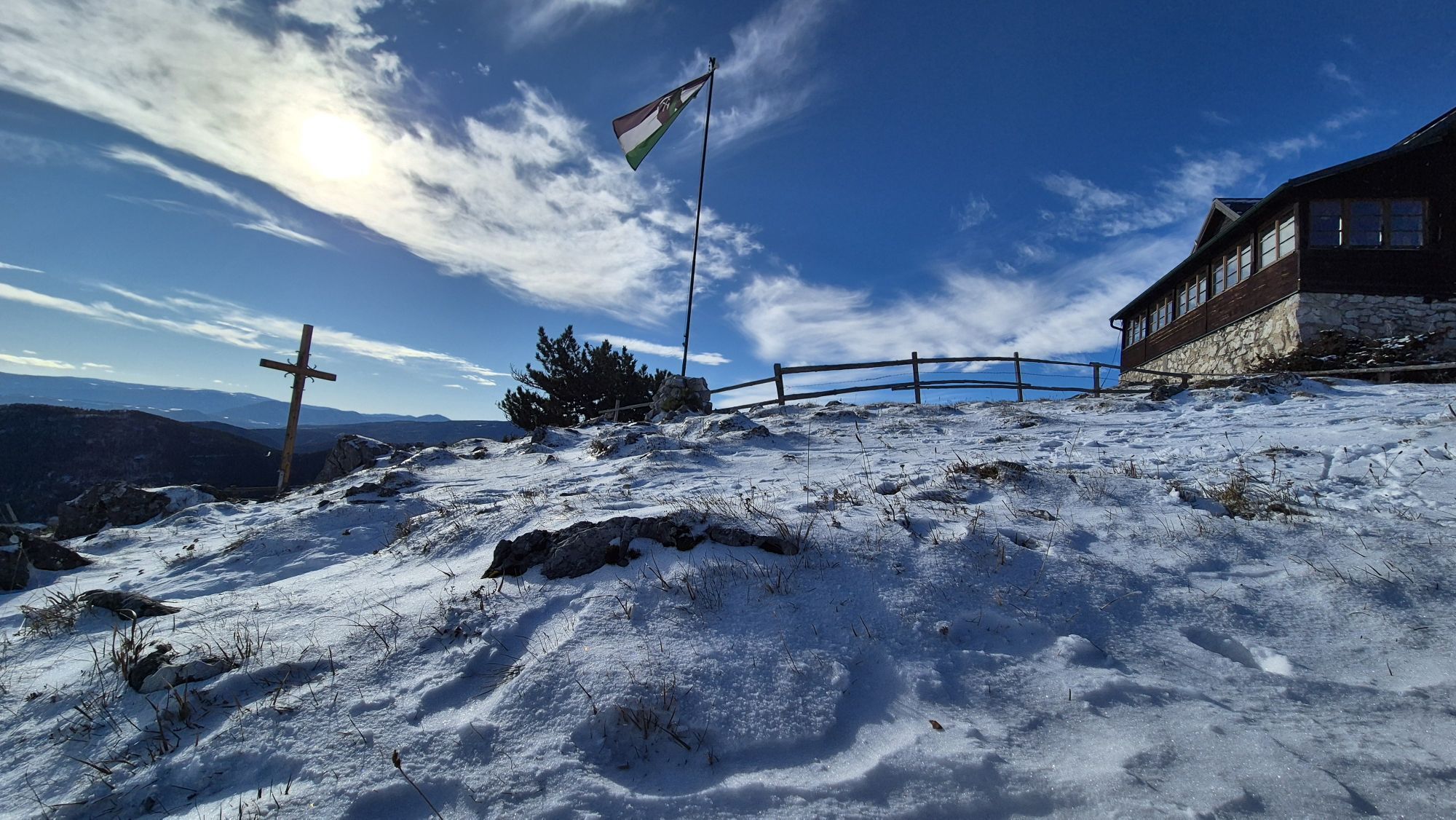


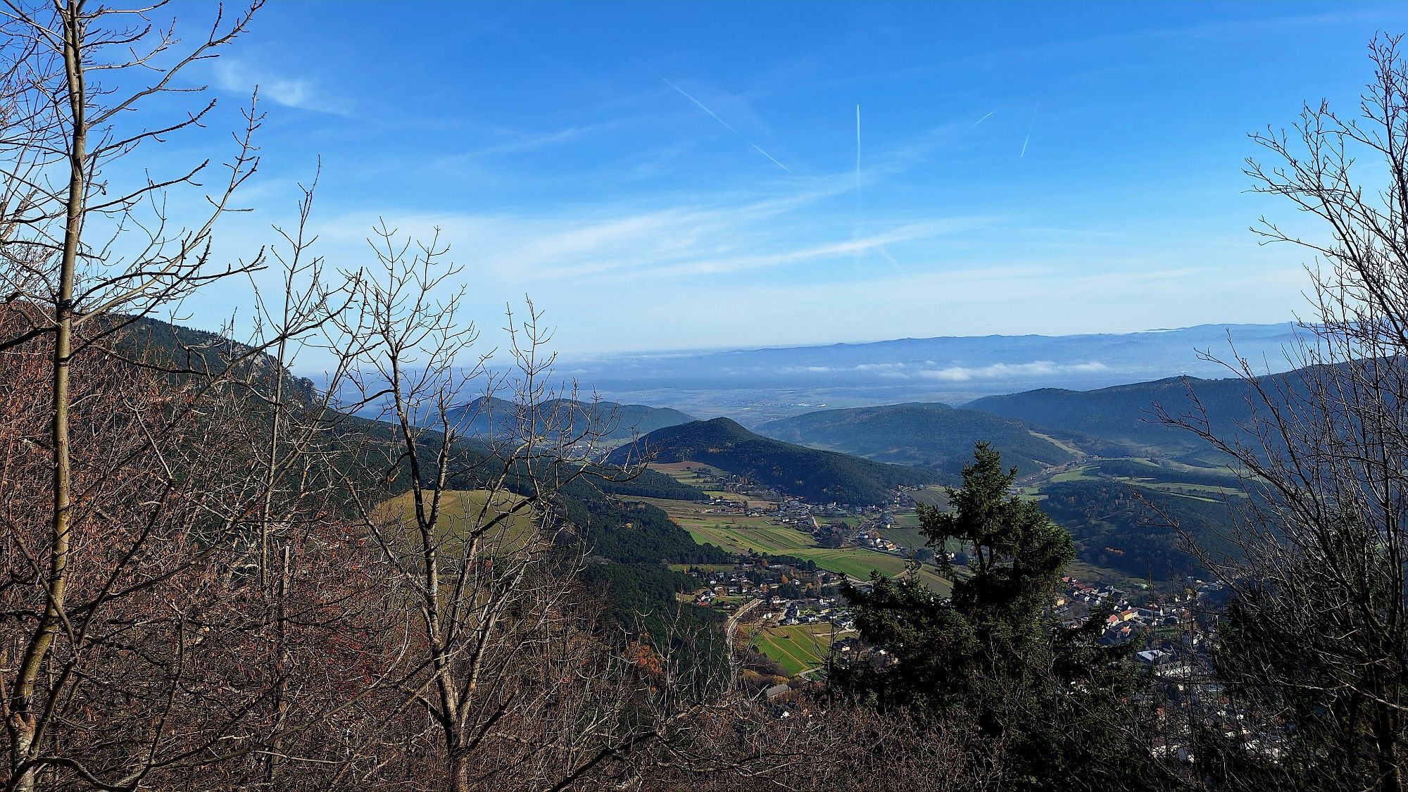
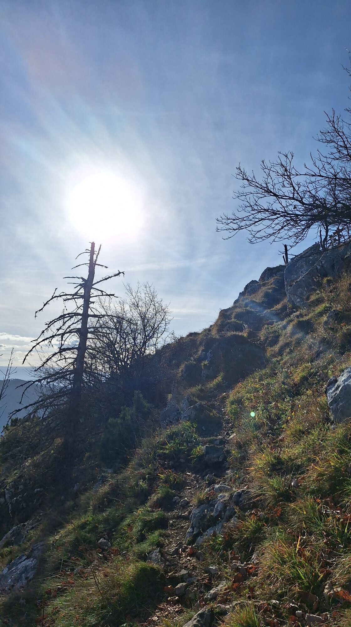
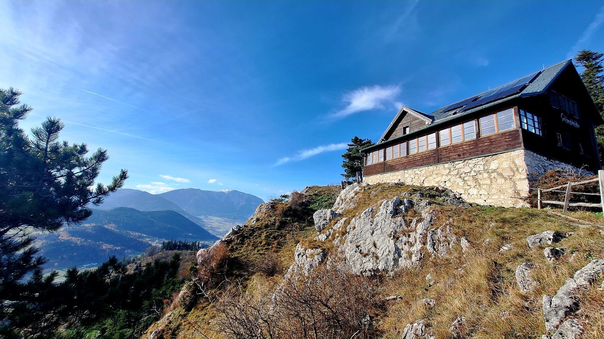


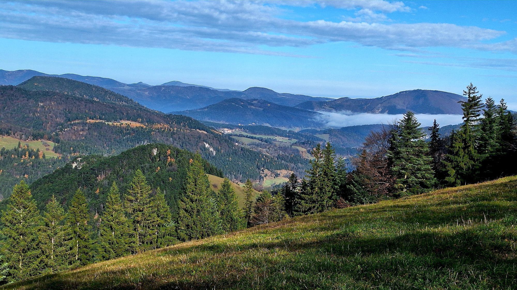


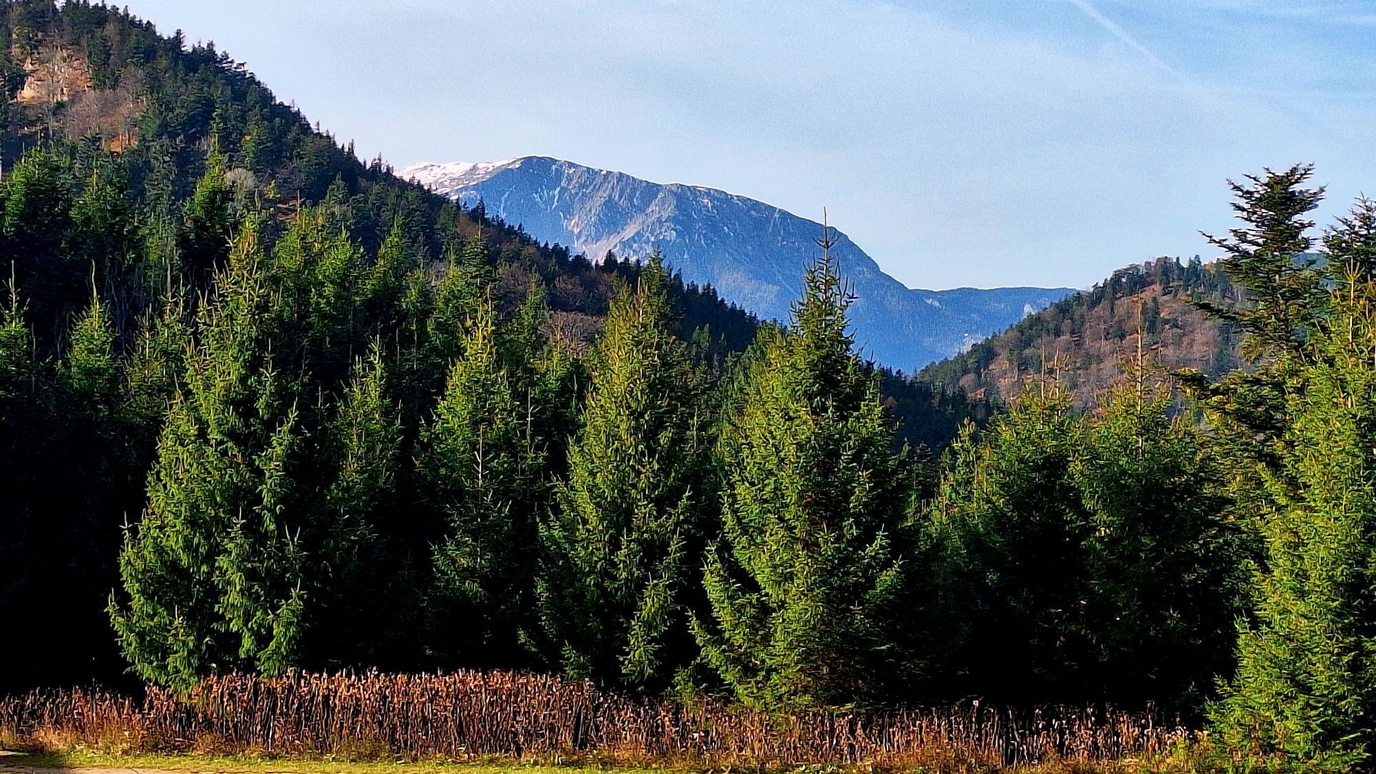


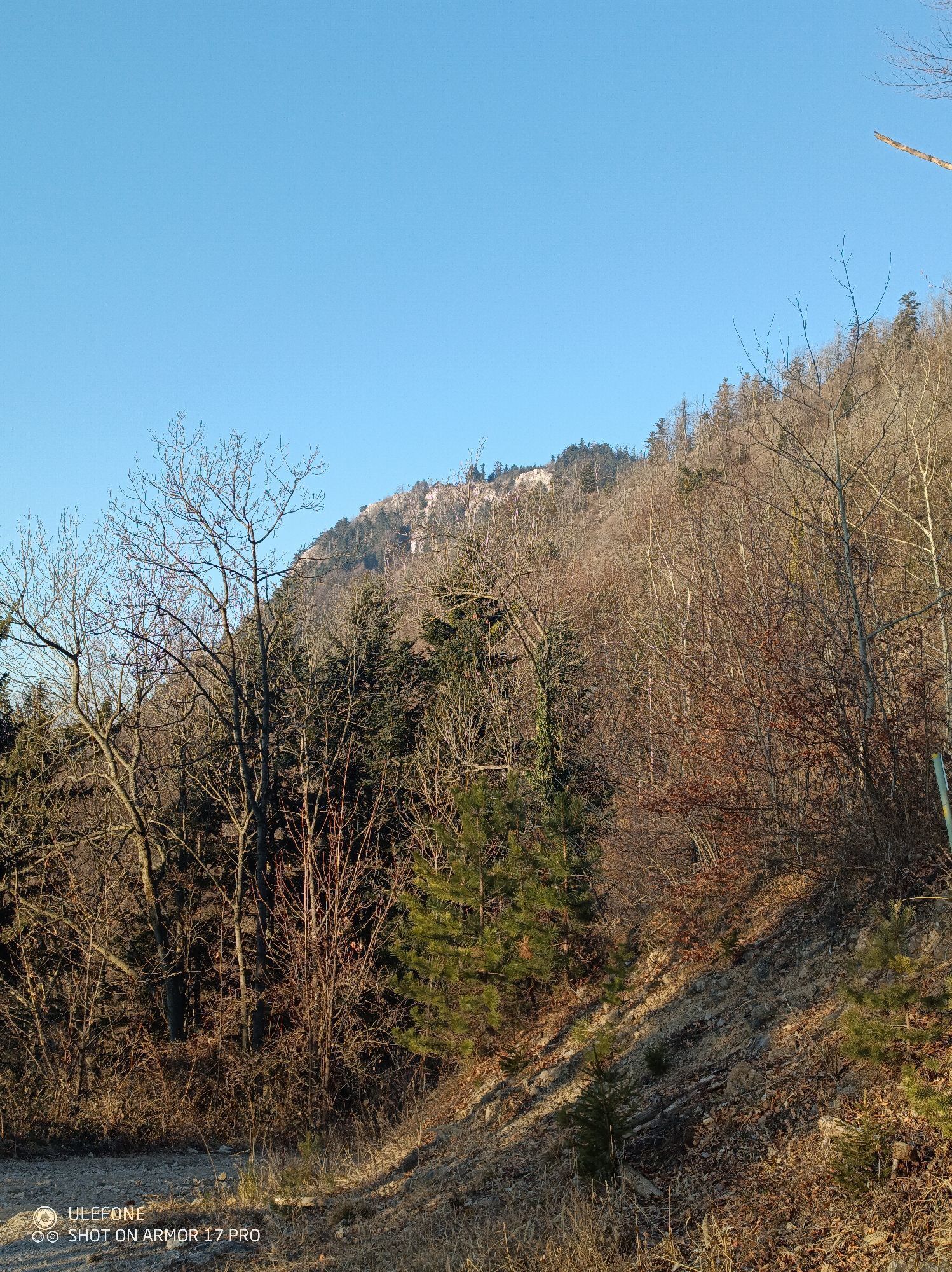


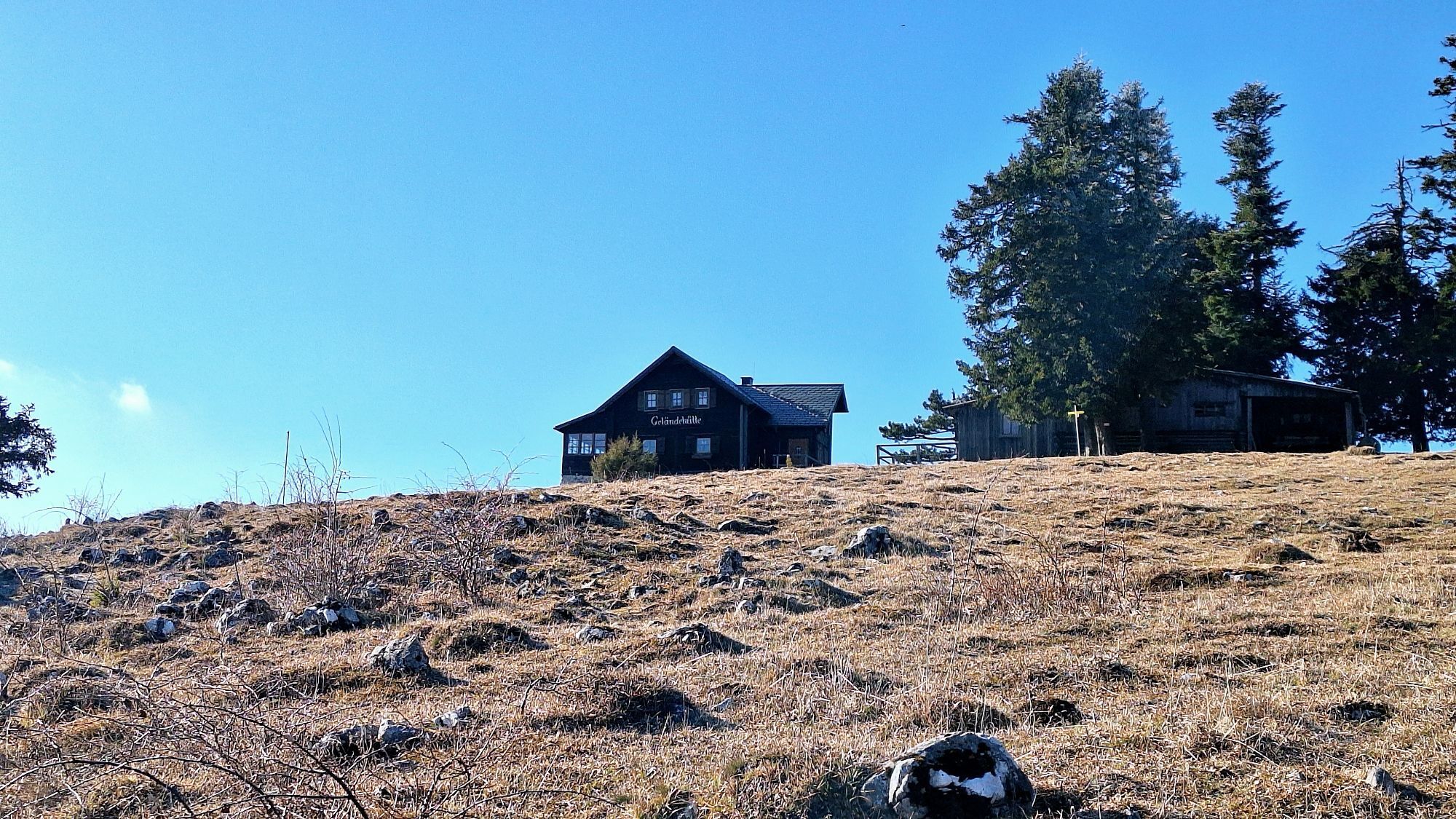
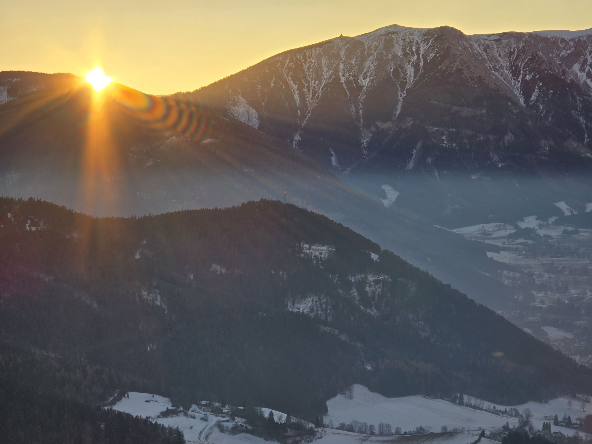
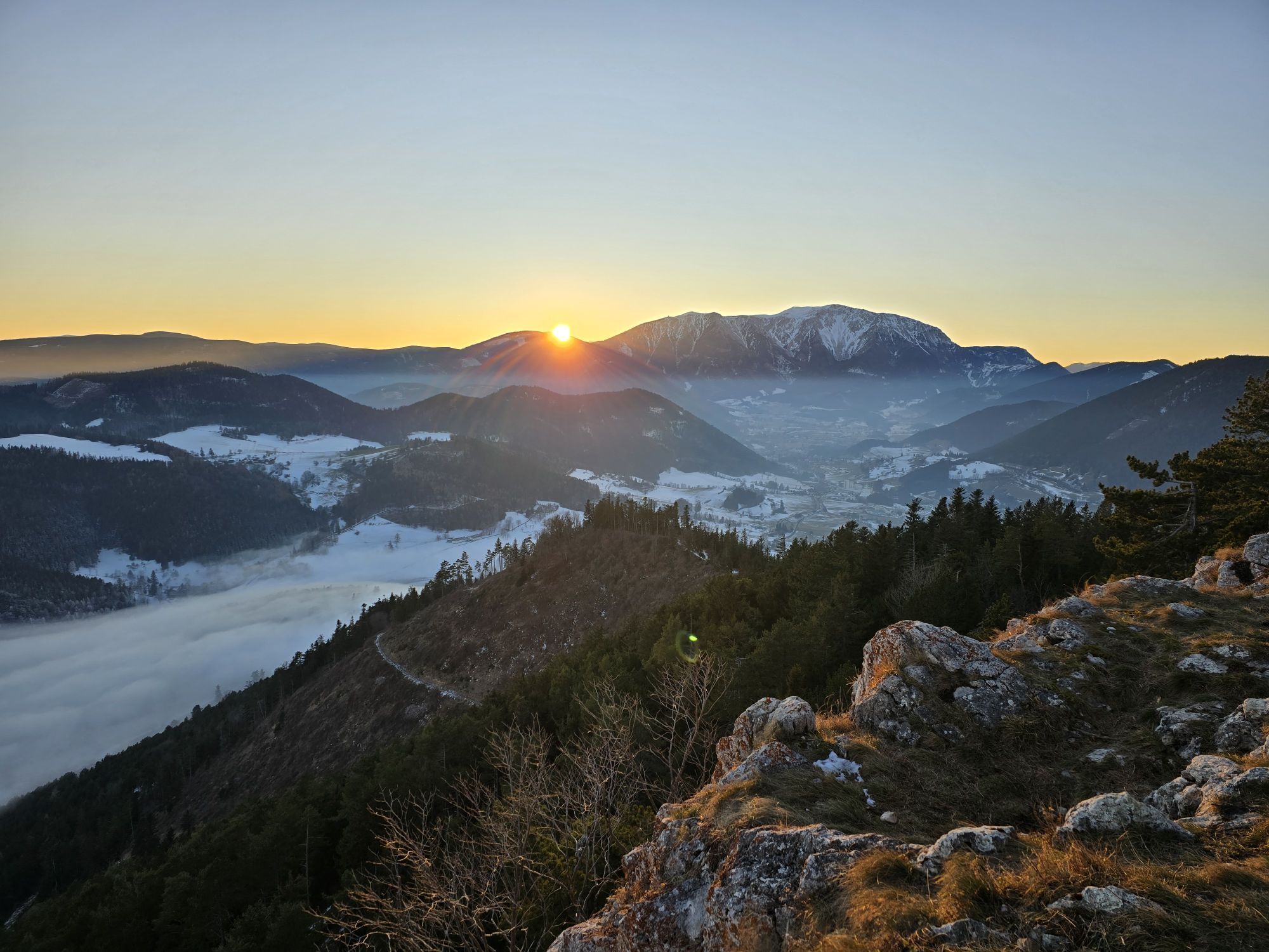


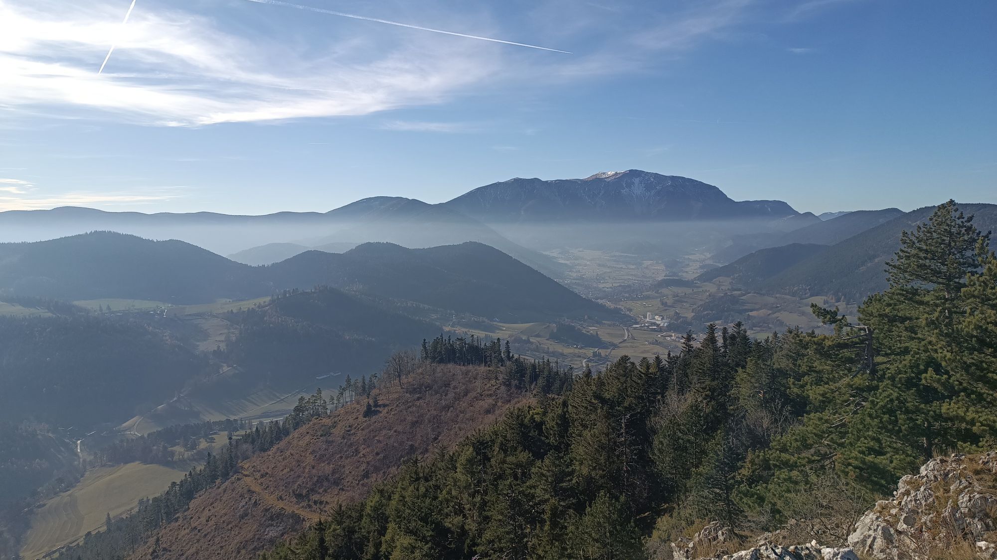
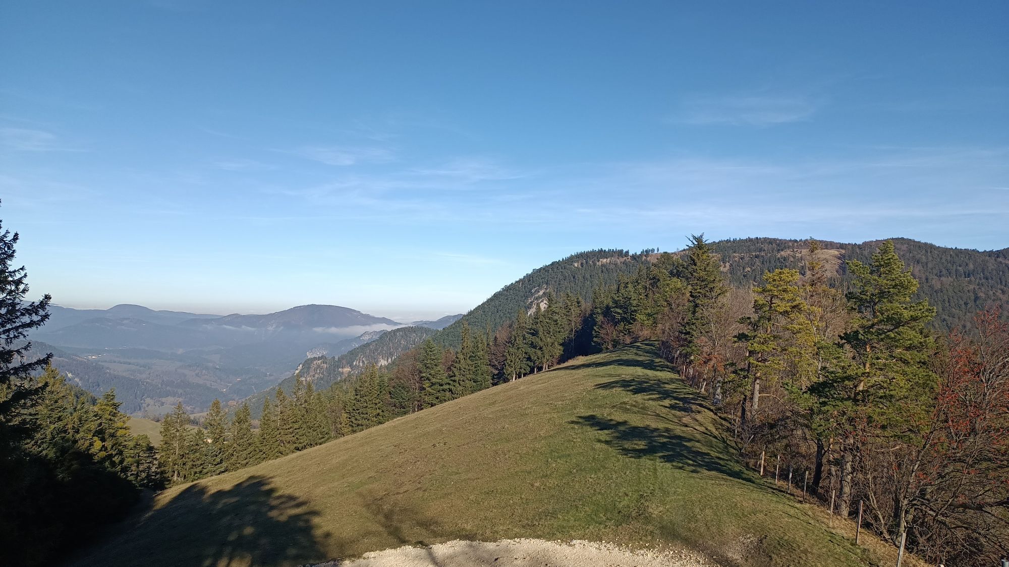
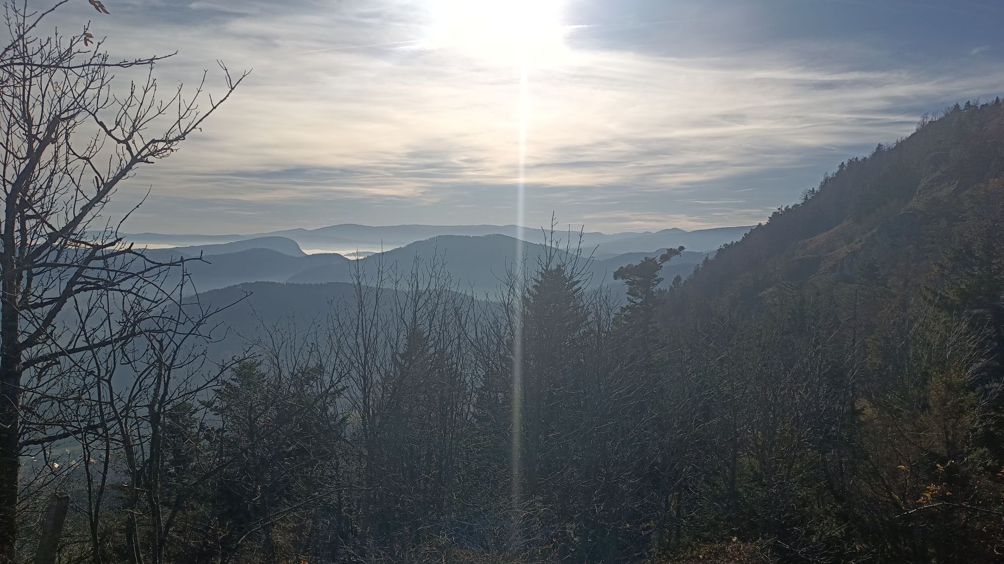
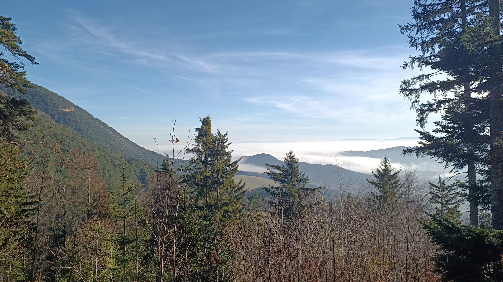
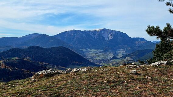
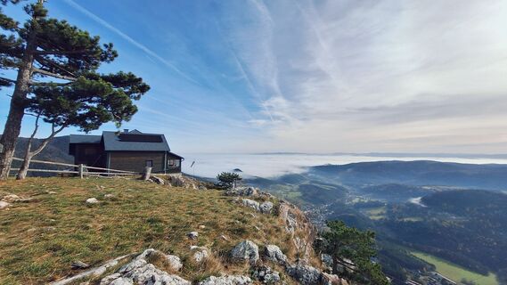
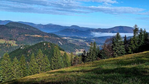
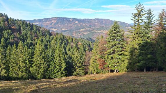
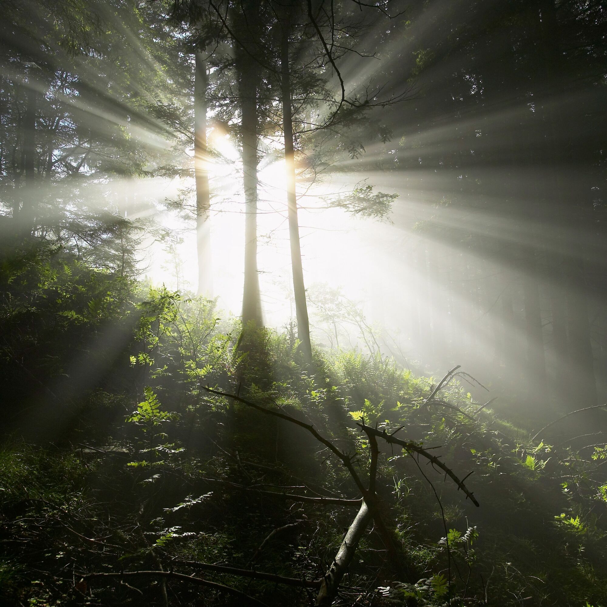
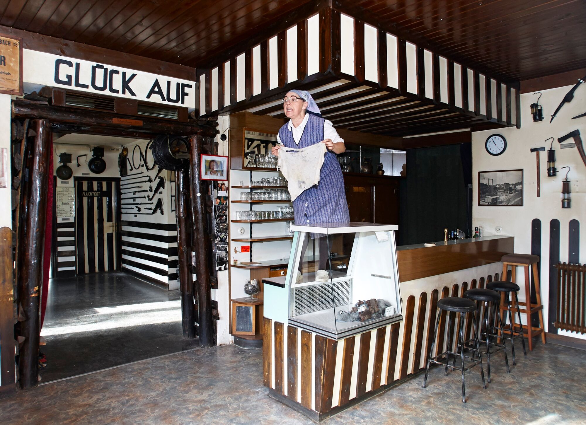
The Gelände is a western spur of the Hohe Wand. The municipality of Grünbach am Schneeberg lies at the foot of the Gelände and is thus an ideal starting point for hikes up the mountain. You can also visit...
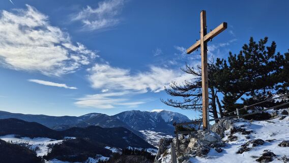
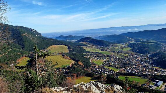
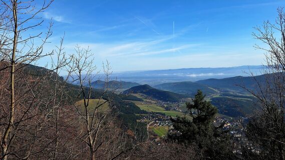
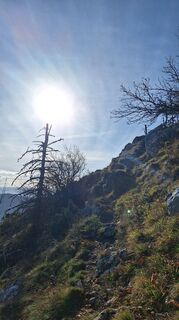
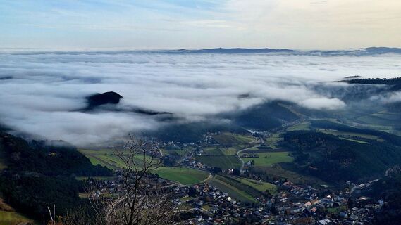
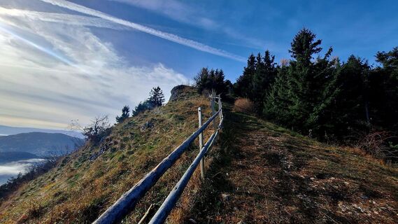
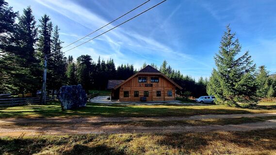
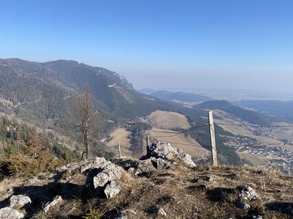
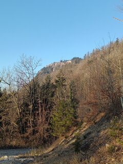
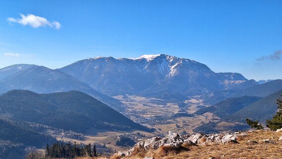
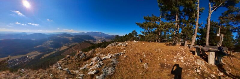
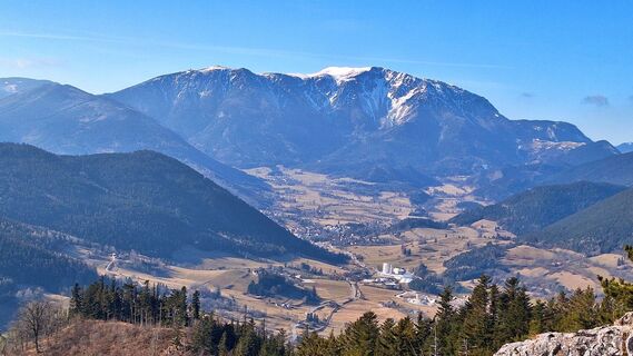
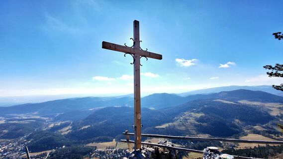
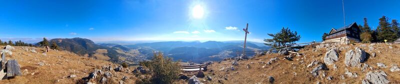
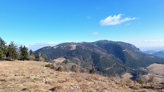
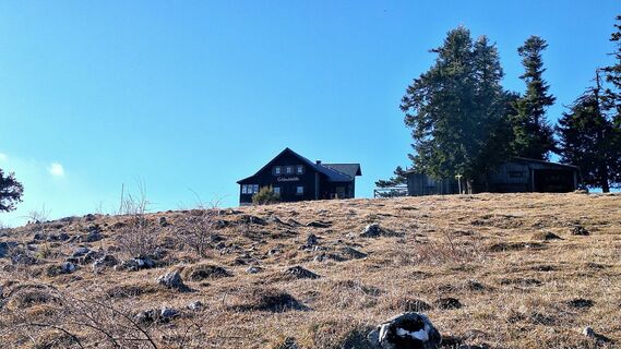
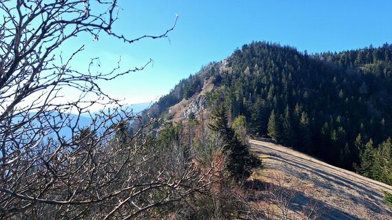
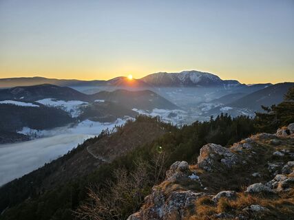
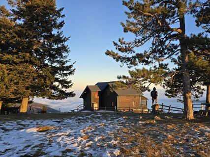
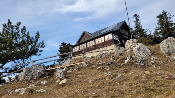
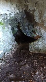
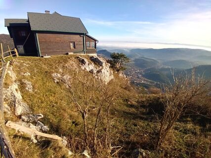
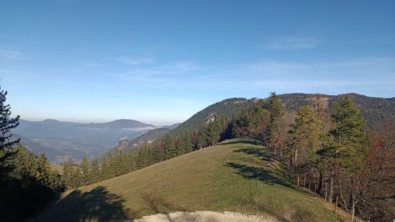
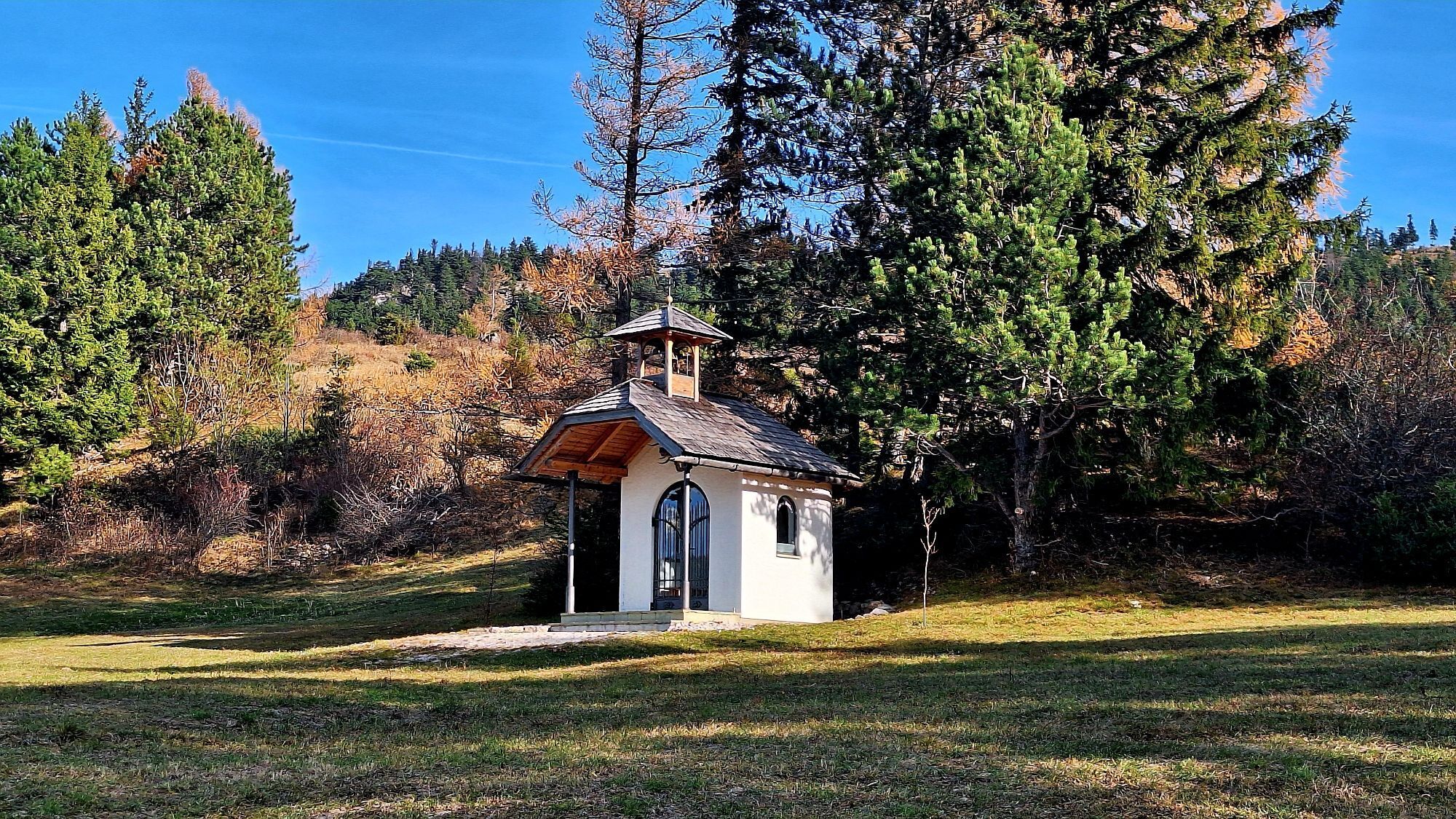
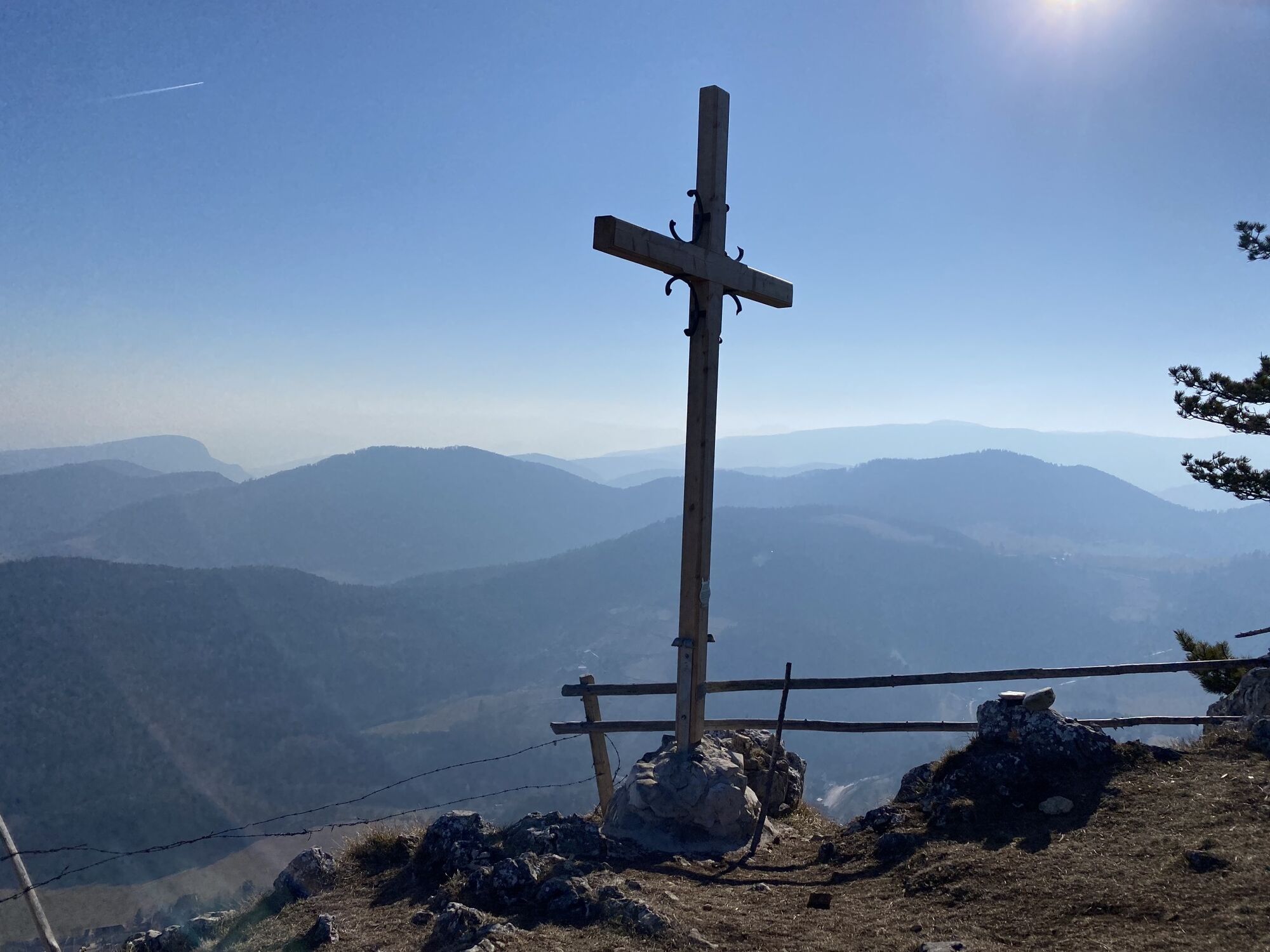
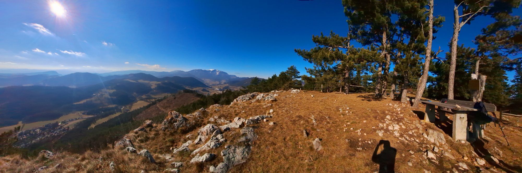
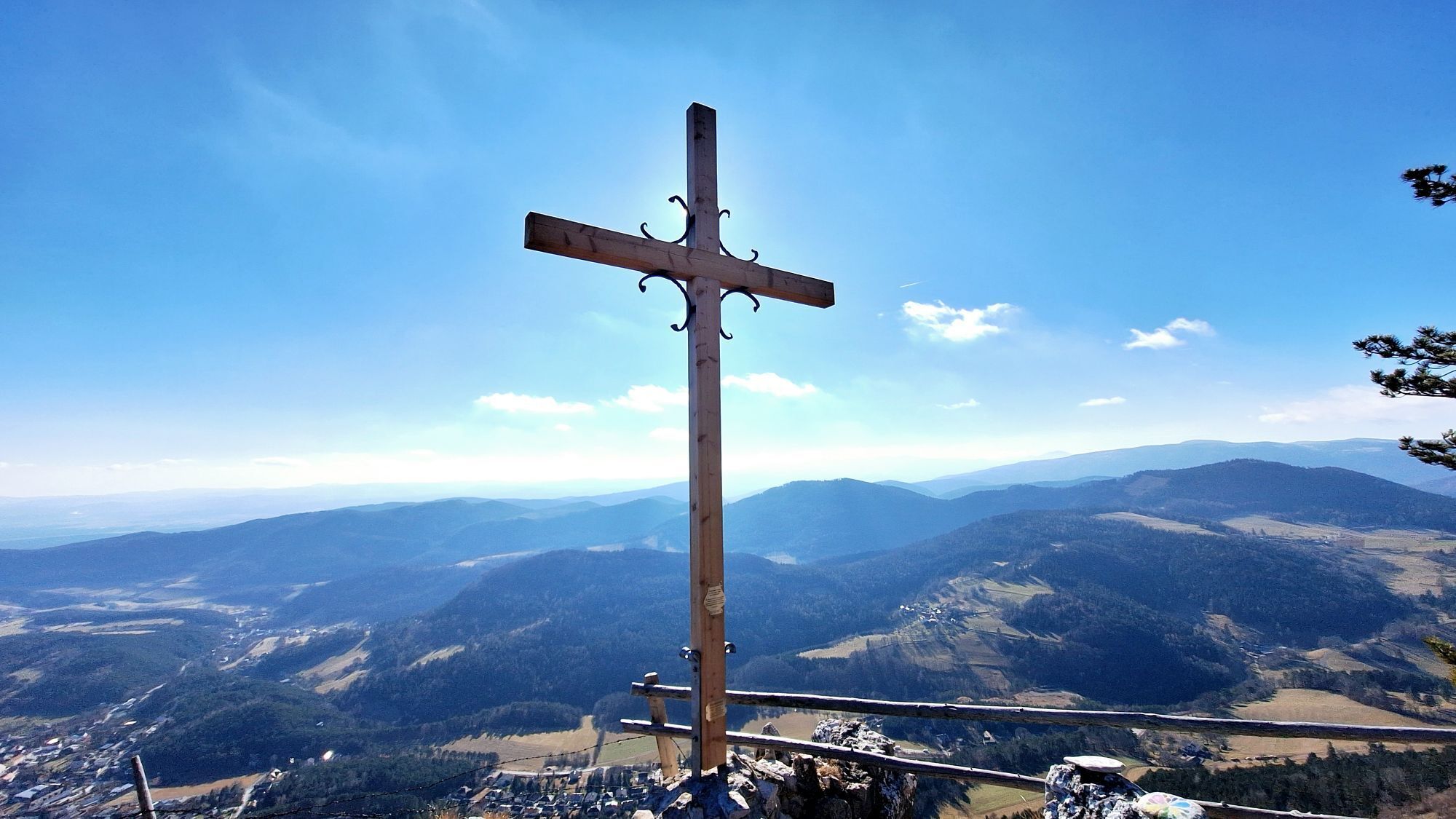
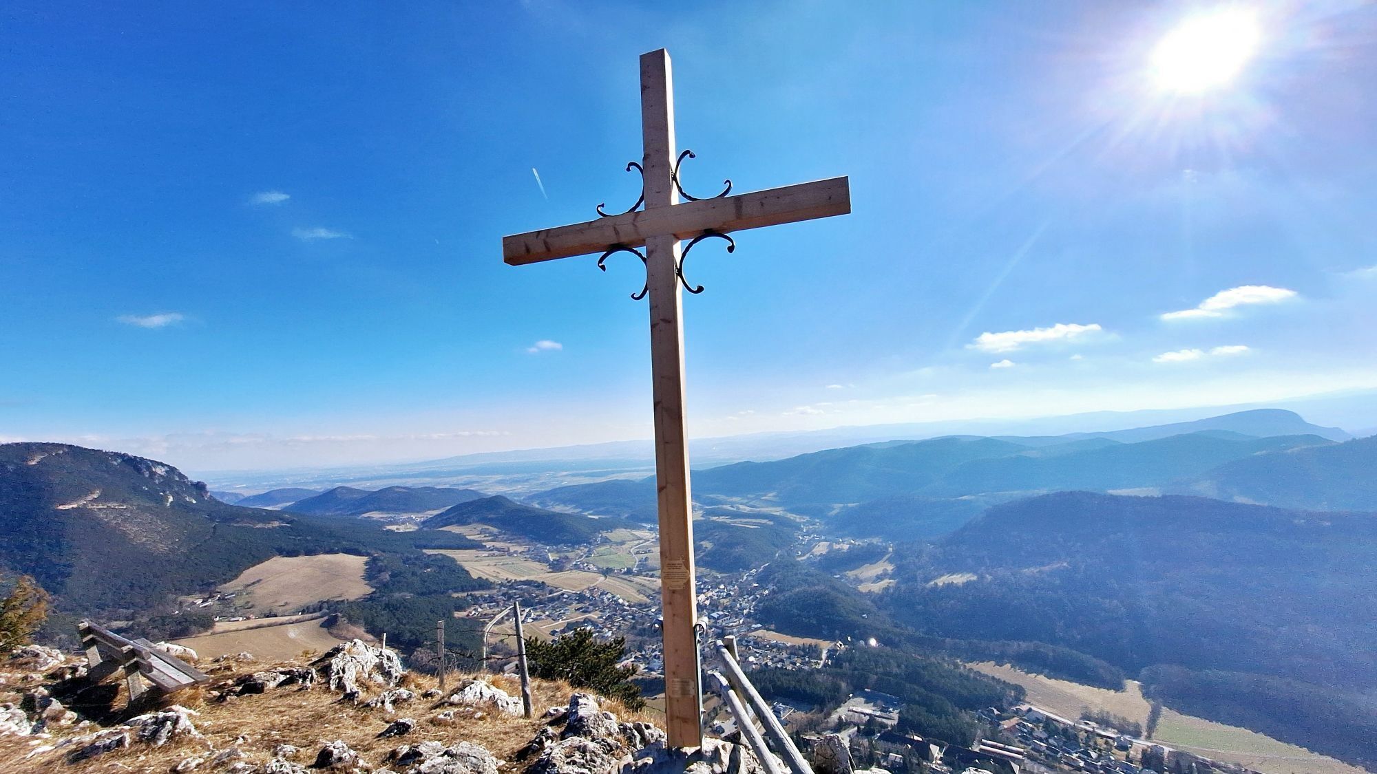
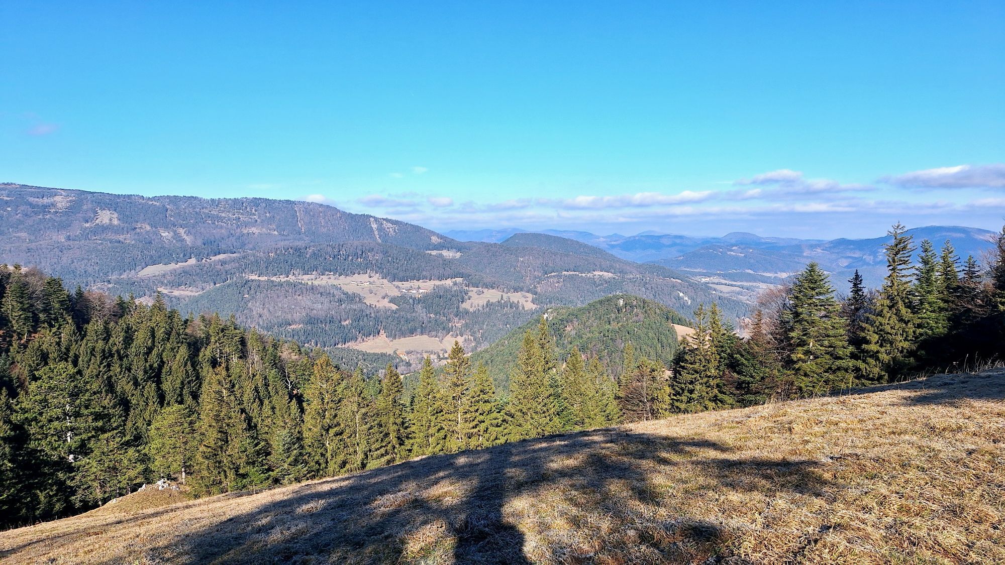
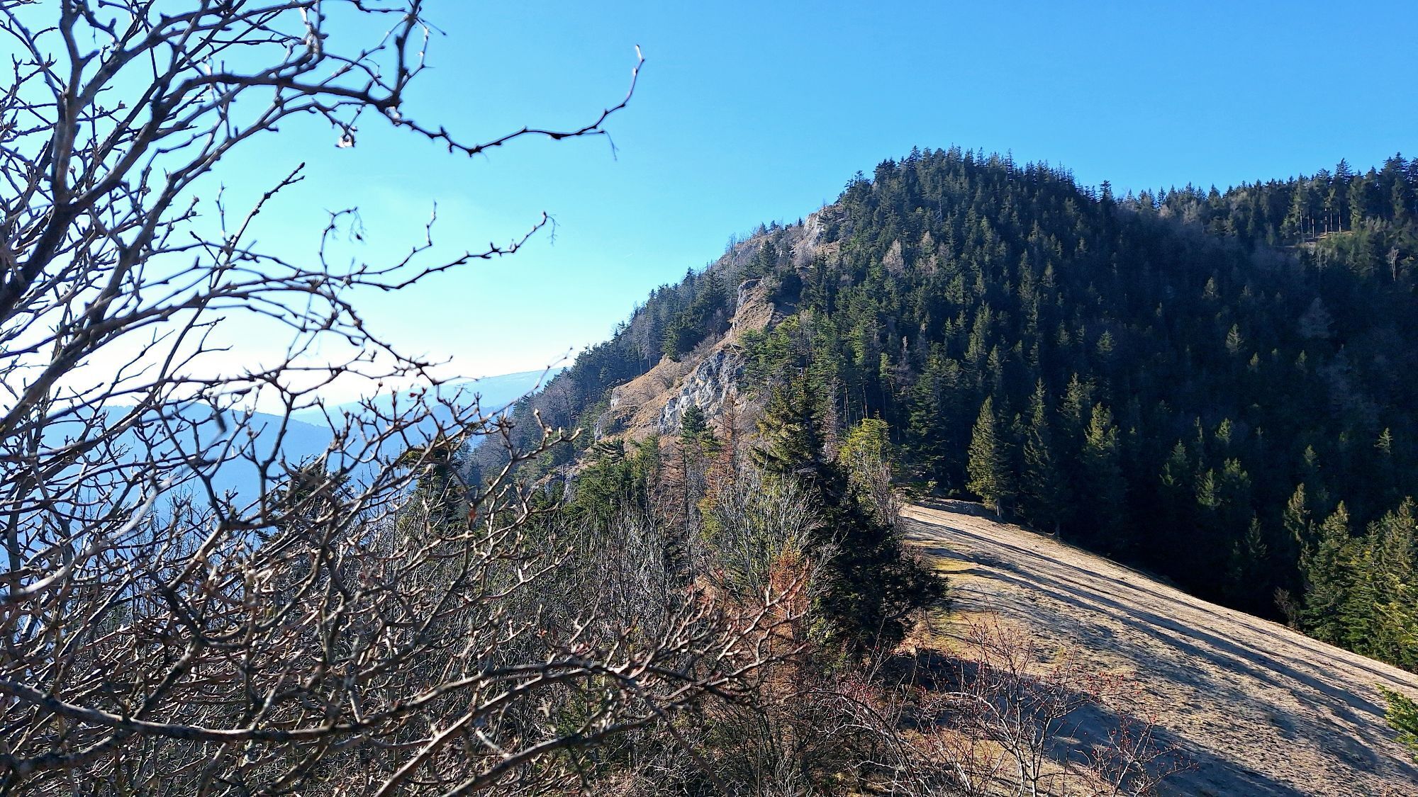
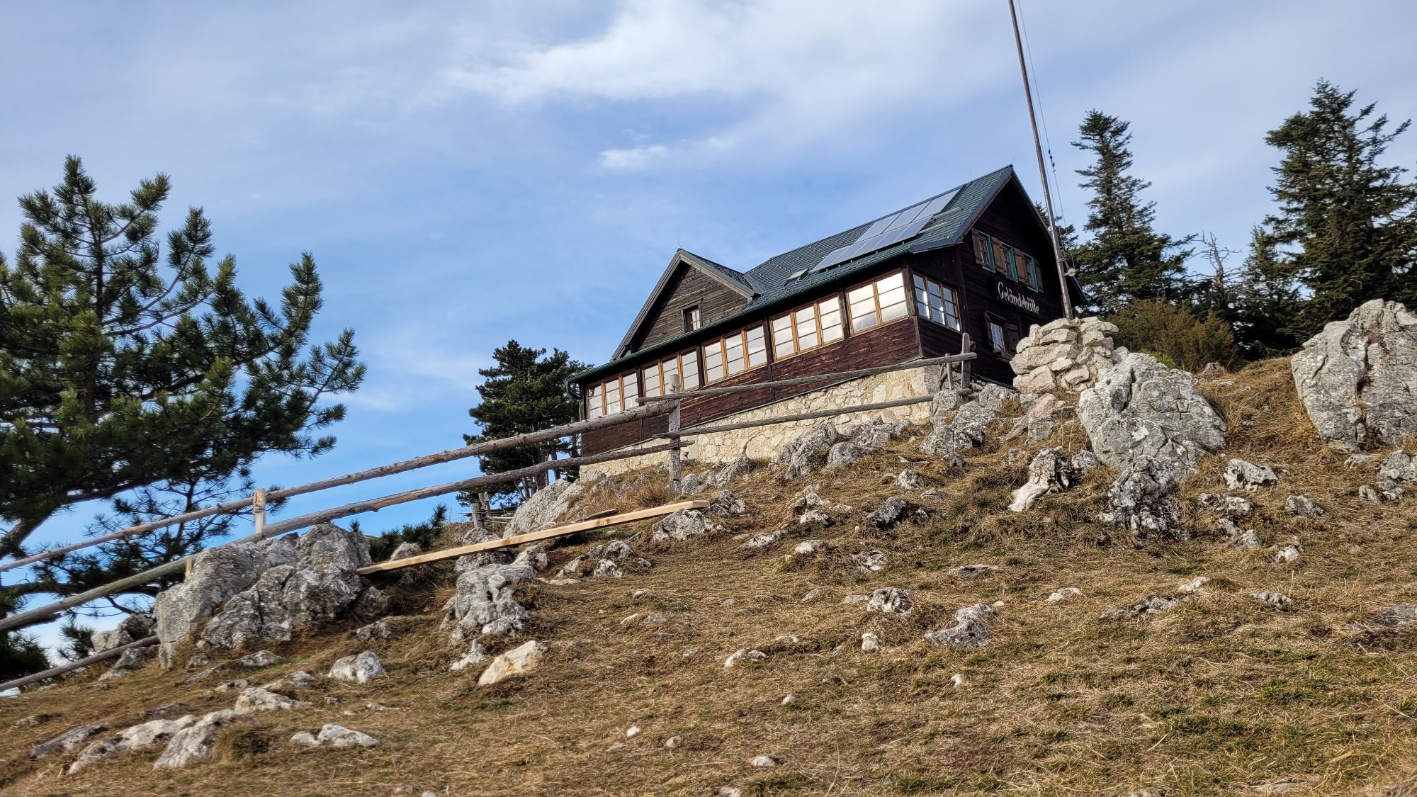
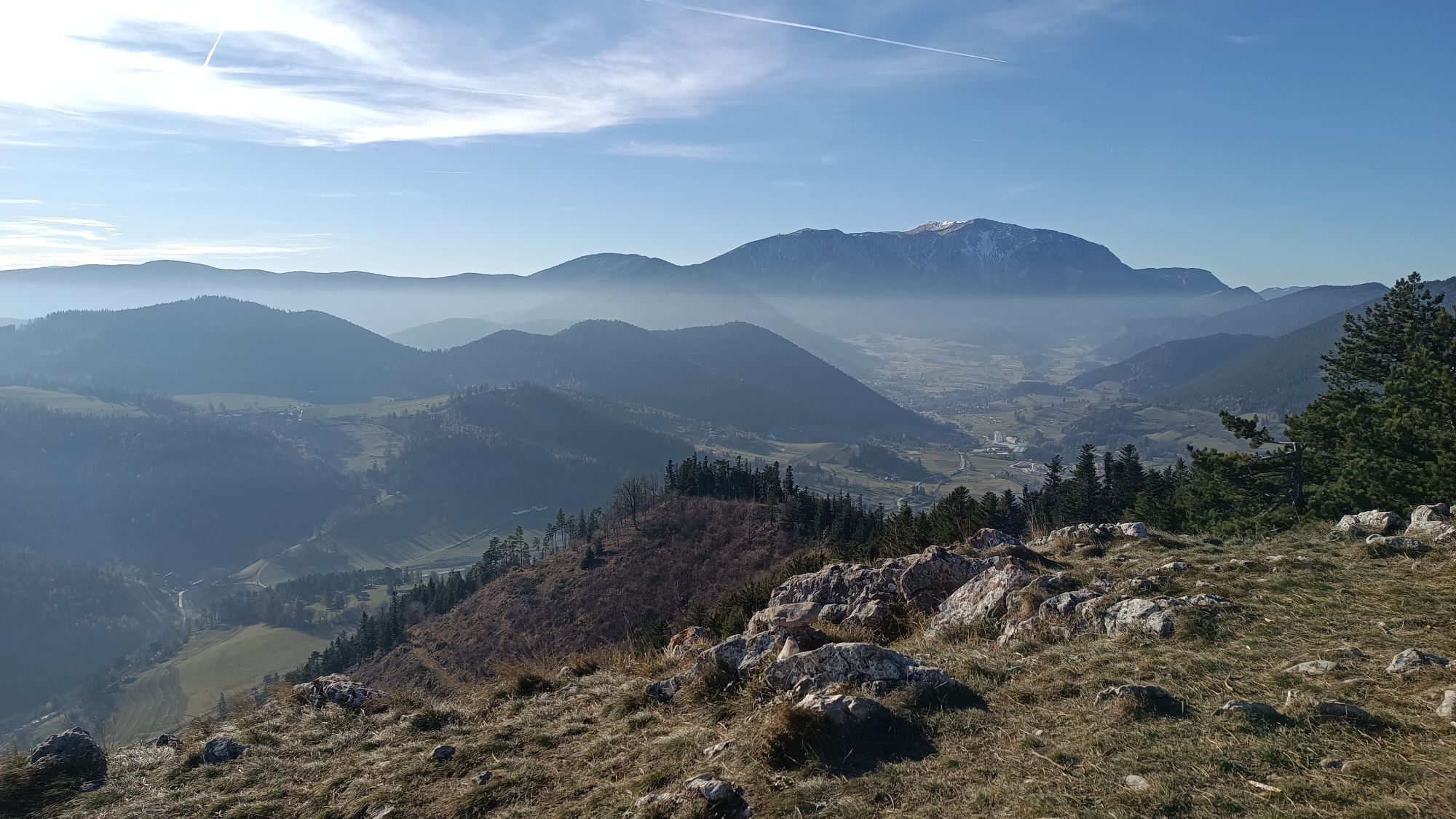
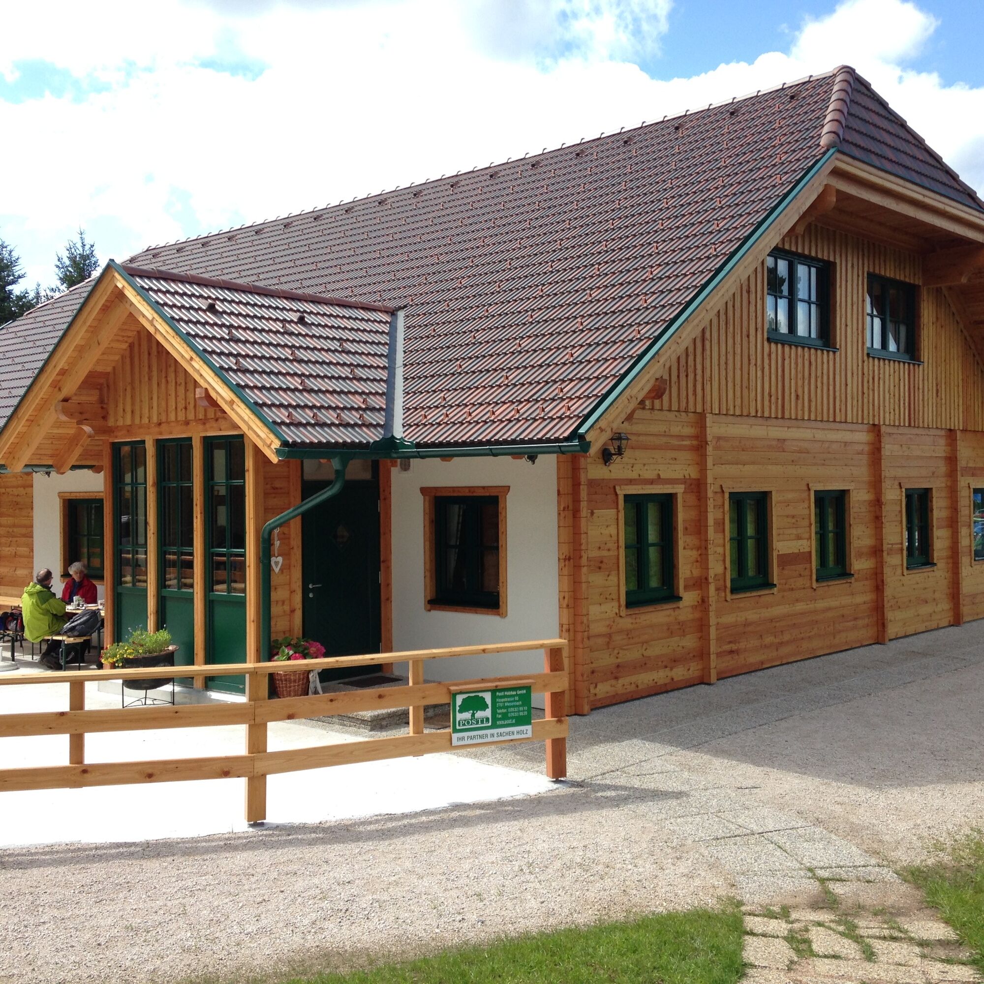
The Gelände is a western spur of the Hohe Wand. The municipality of Grünbach am Schneeberg lies at the foot of the Gelände and is thus an ideal starting point for hikes up the mountain. You can also visit the mining museum here. You reach a parking lot via Wandstraße from which various hiking trails lead away. From here, for example, you can also go via a forest path to the Pension Seiser Toni. Our hike leads us up the forest road to our first stop, the Scheimhitt'n. At the Rastkreuzsattel at 876 meters elevation, the hut invites you not only to rest but also to celebrations and overnight stays. Hungry hikers strengthen themselves with game specialties from the house's own enclosure. To the east, you can hike up the Hohe Wand from here. In the opposite direction, it continues onto the Gelände. Either comfortably over the forest road or, as shown on the map, over a rocky path, you finally reach the Geländehütte at 1023 meters. A three-meter tall bear statue points here to the nearby bear cave. At the Geländehütte, diligent hikers can refresh themselves at weekends from Easter to December and enjoy the 360-degree panoramic view over the Schneeberg and the southern Vienna Basin to the Pannonian Plain.
The Gelände can also be approached from the north from Miesenbach or from the Hohe Wand via a variant of the North Alpine Trail.
From the starting point, we follow the wide forest road that takes us over several curves up to the Scheim Hut. A little before the hut, we turn right onto the path through the forest. We keep to the right and continue along the path. The path leads us back to the forest road; straight ahead goes over a somewhat rocky path to the hut, to the right you reach the Geländehütte comfortably via the road.
Always take suitable maps with you. Wear sturdy shoes adapted to the route, bring sun and rain protection as well as water and a snack. Take your mobile phone and save the mountain rescue emergency number: 140
Your hikes in the Vienna Alps should be a completely beautiful and safe experience. Therefore, please note the following:
Preparation
Make sure when choosing the route that it corresponds to your experience and fitness. Check the weather report in advance. Weather in the mountains can change surprisingly quickly. Therefore, always start out properly equipped (e.g. rain protection).
Check whether the huts and snack stations you want to visit are open. Inform someone about your choice of route and your planned return before you set off.
More safety tips for your hike can be found here.
Take the A2 South Motorway exit Wiener Neustadt West. Use one of the 2 left lanes to turn left onto Puchberger Str./B26 (signs to Puchberg/Weikersdorf). Continue on B26 always towards Puchberg until you reach Grünbach. After the Raiffeisen Bank, turn slightly right onto Wandstraße. Follow the road to the gravel parking lot.
From Graz: Take the A2 South Motorway exit Seebenstein. Drive on the B54 towards Seebenstein. At the fork, keep left, follow signs towards Schwarzau/Wiener Neustadt. Turn left onto Wiener Neustädter Str./B54. Continue on B54. After Schwarzau am Steinfeld, turn left onto L4110. In the roundabout take the second exit (Bahnstraße). In Neusiedl am Steinfeld, turn right onto Lindenpl./Steinfeldstraße. Continue on Steinfeldstraße. Turn left onto Puchberger Str./Wr. Neustädter Straße/B26 and continue towards Puchberg until you reach Grünbach. After the Raiffeisen Bank, turn slightly right onto Wandstraße. Follow the road to the gravel parking lot.
Take the regional train from Wiener Neustadt main station (direction Puchberg am Schneeberg) to the Grünbach Schule stop. 30-minute walk to the starting point.
More information at www.oebb.at or www.vor.at
There is a parking lot at the starting point.
Vienna Alps in Lower Austria, www.wieneralpen.at, +43 / 2622 / 78960
Geländehütte, www.gelaende.at
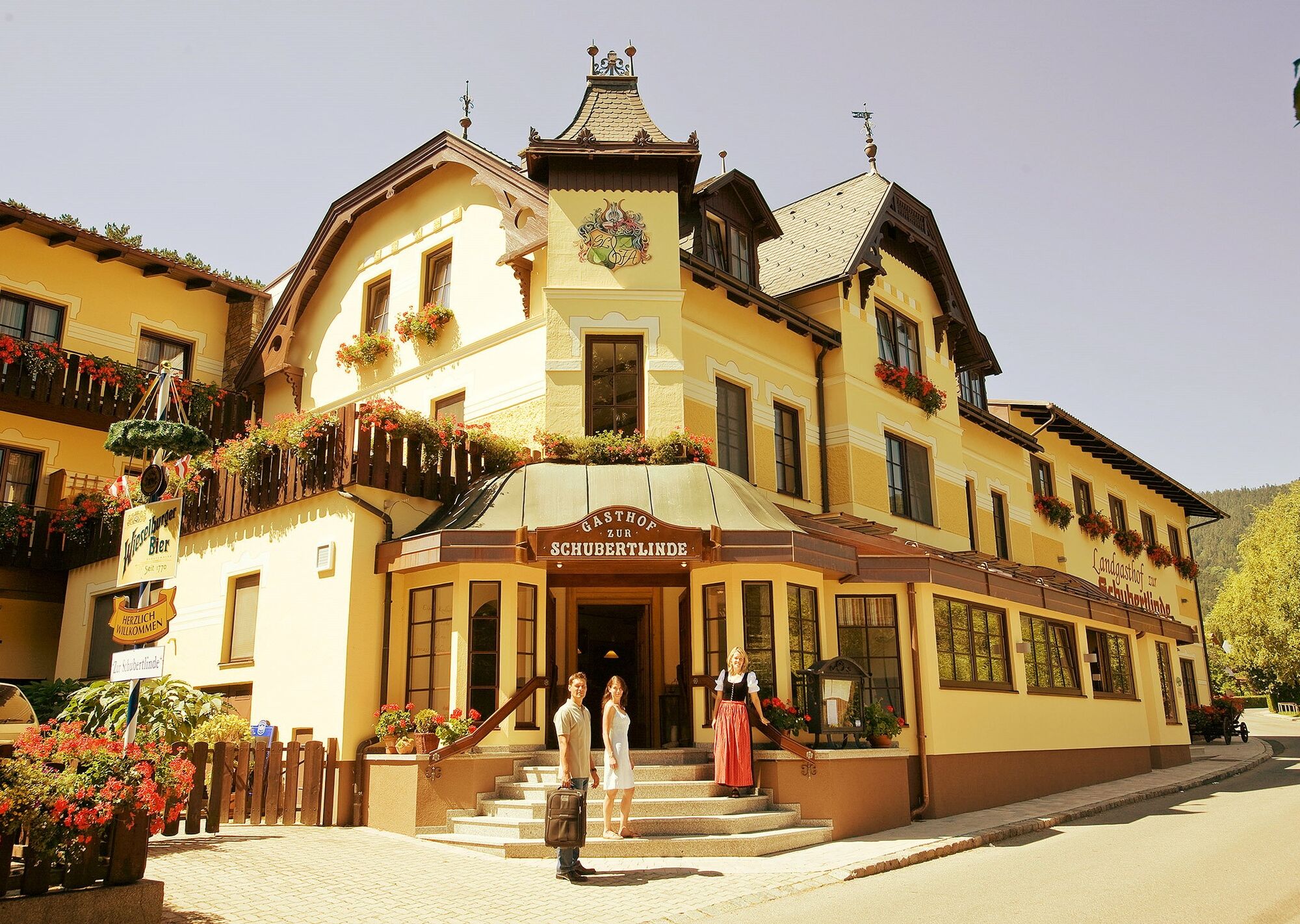
Combine your hike with a stay in Grünbach, for example at the Alpen-Aktiv Country Inn "Zur Schubertlinde"!
Populære turer i nabolaget
-
4,8
Circular hike in Payerbach via anniversary viewpoint and Sched chapel
middelsVandring 8,84 km -
4,7
Krummbachstein Dez 20
middelsVandring 15,7 km -
4,6
Krummbachstein Rundwanderung, NÖ
middelsVandring 15,2 km -
4,5
Hohe Wand: Frauenlucke und Völlerin
middelsVandring 1,90 km -
4,4
Johannesbachklamm - Würflach
middelsVandring 11,3 km -
4,5
"Waxriegel 1888m" - Schneebergdörfl - Niederösterreich / Österreich
lysVandring 14,2 km -
4,4
Hochschneeberg/Klosterwappen plateau hike
middelsVandring 7,27 km -
4,6
Losenheim: Edelweißhütte - Fadensteig - Fischerhütte
middelsVandring 11,5 km -
4,7
Hohe Wand: Dreistetten - Herrgottschnitzerhaus
lysVandring 6,51 km -
4,3
Gebirgsvereinssteig C/D
tungVia ferrata 4,38 km

Vandring og sporing


Ikke gå glipp av tilbud og inspirasjon til din neste ferie
E-postadressen din har blitt lagt til på adresselisten.