


Bilder av brukerne våre
-

 © Susann HerfurthOpprettet den 27.08.2025
 -
 © Susann HerfurthOpprettet den 26.08.2025
 -
 © Susann HerfurthOpprettet den 26.08.2025
 -
 © Susann HerfurthOpprettet den 26.08.2025
 -

 © Klaus GrambichlerOpprettet den 01.05.2025
 -
 © Klaus GrambichlerOpprettet den 01.05.2025
 -
 © AdriaanOpprettet den 14.01.2025
 -
 © AdriaanOpprettet den 14.01.2025

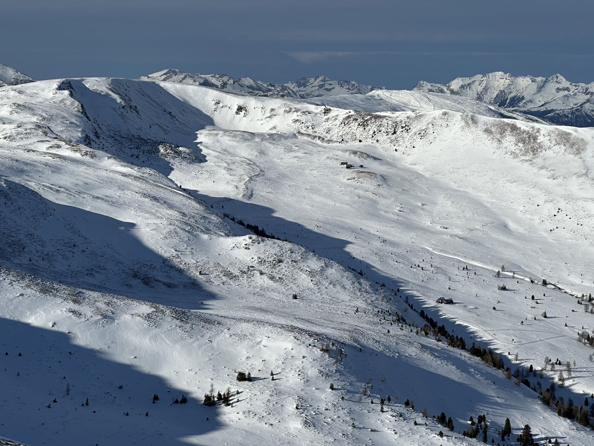
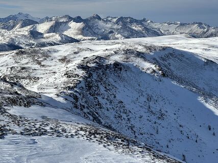
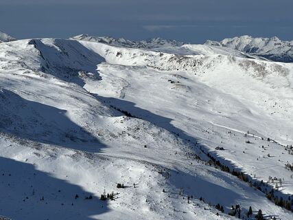
The "Blutige Alm" does not do justice to its name in winter because it is named after the red cabbagemallow (also "Blutströpferl"), which blooms here in full splendor and in great quantities during the...
The "Blutige Alm" does not do justice to its name in winter because it is named after the red cabbagemallow (also "Blutströpferl"), which blooms here in full splendor and in great quantities during the summer and makes the alpine pasture glow red. However, there is also a legend that wild tribes once fought a merciless, bloody battle here...
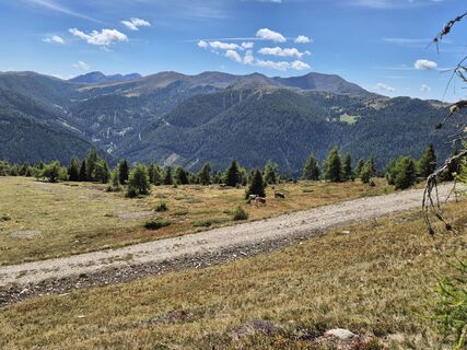
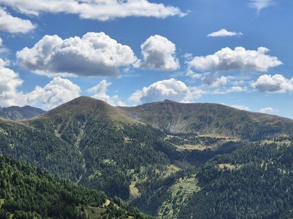
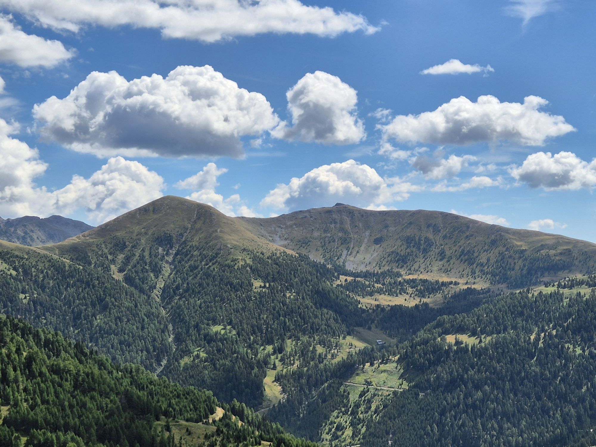
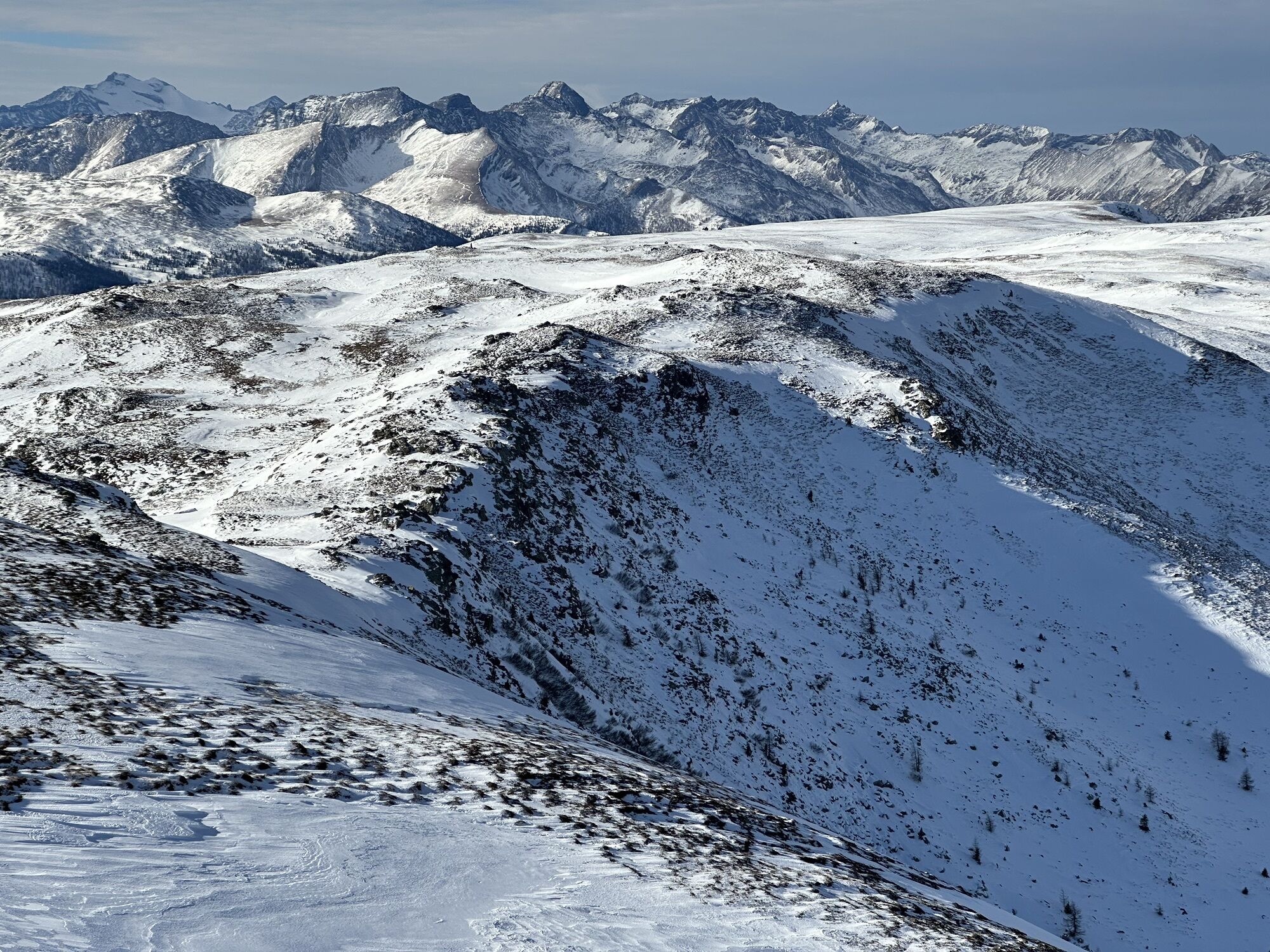
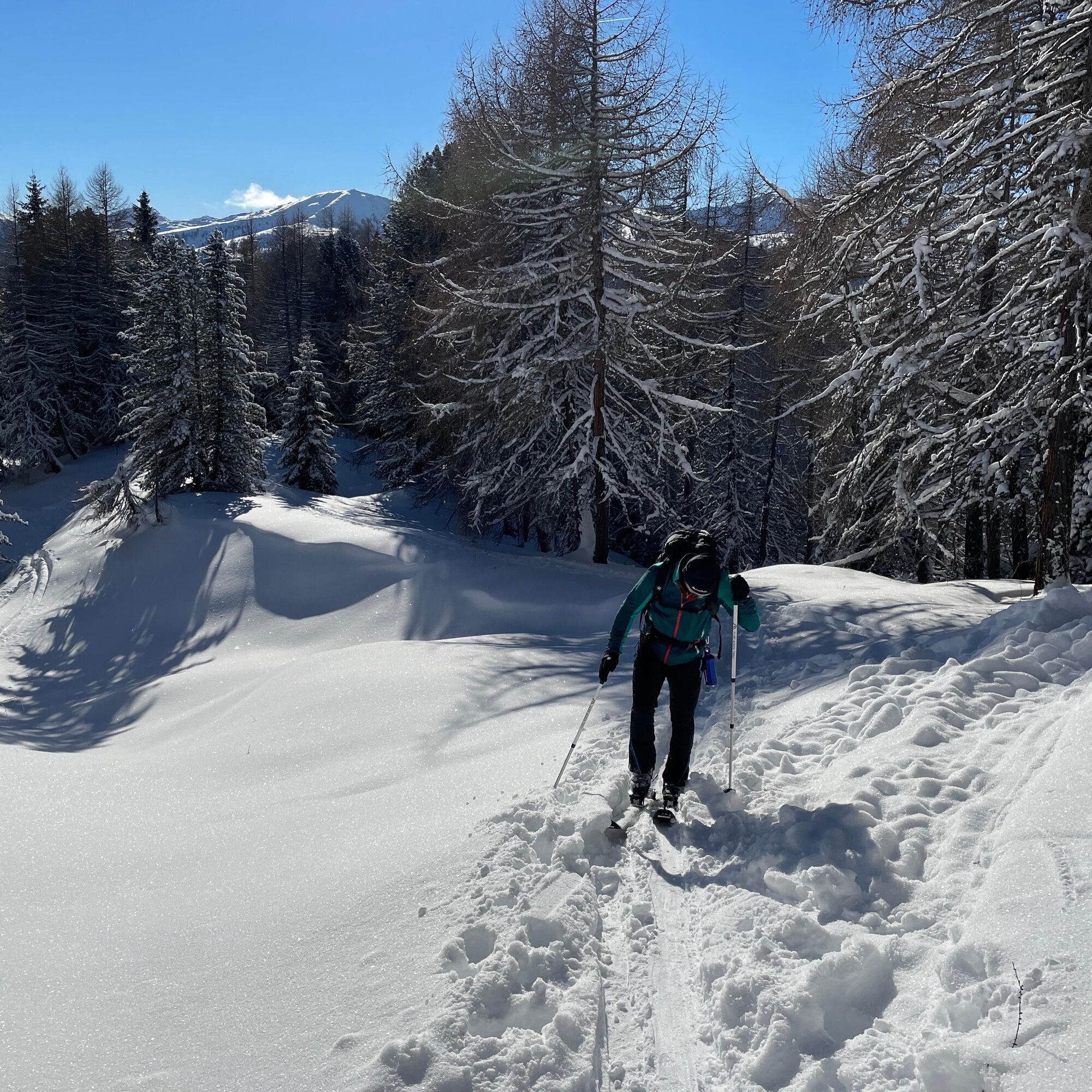
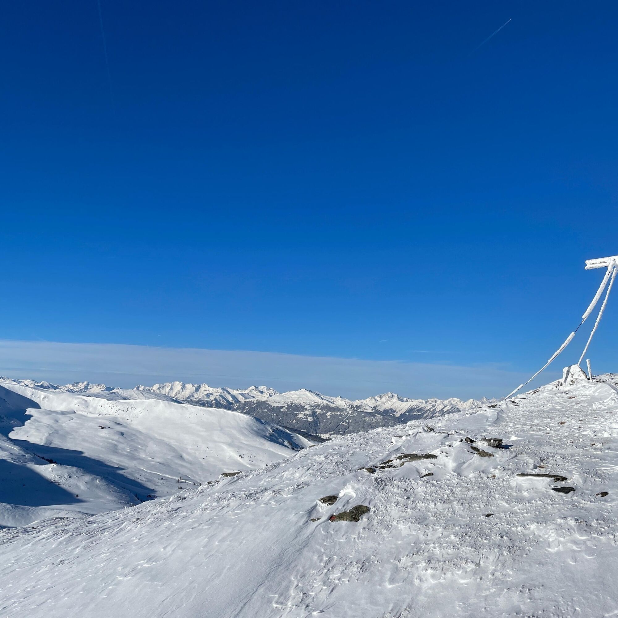
In any case, it is a typical Nockberge ski tour with moderate ascents in gentle terrain. The snow in the summit area can, as everywhere in the Nockberge, be blown away by the wind quite quickly, but nevertheless the Gaipahöhe is an absolutely worthwhile destination with wonderful views of such impressive mountains as the Hochalmspitze (3,360 meters), also called the Tauern queen, the Hafner (3,076 m), the Radstädter Tauern, or the Dolomites.
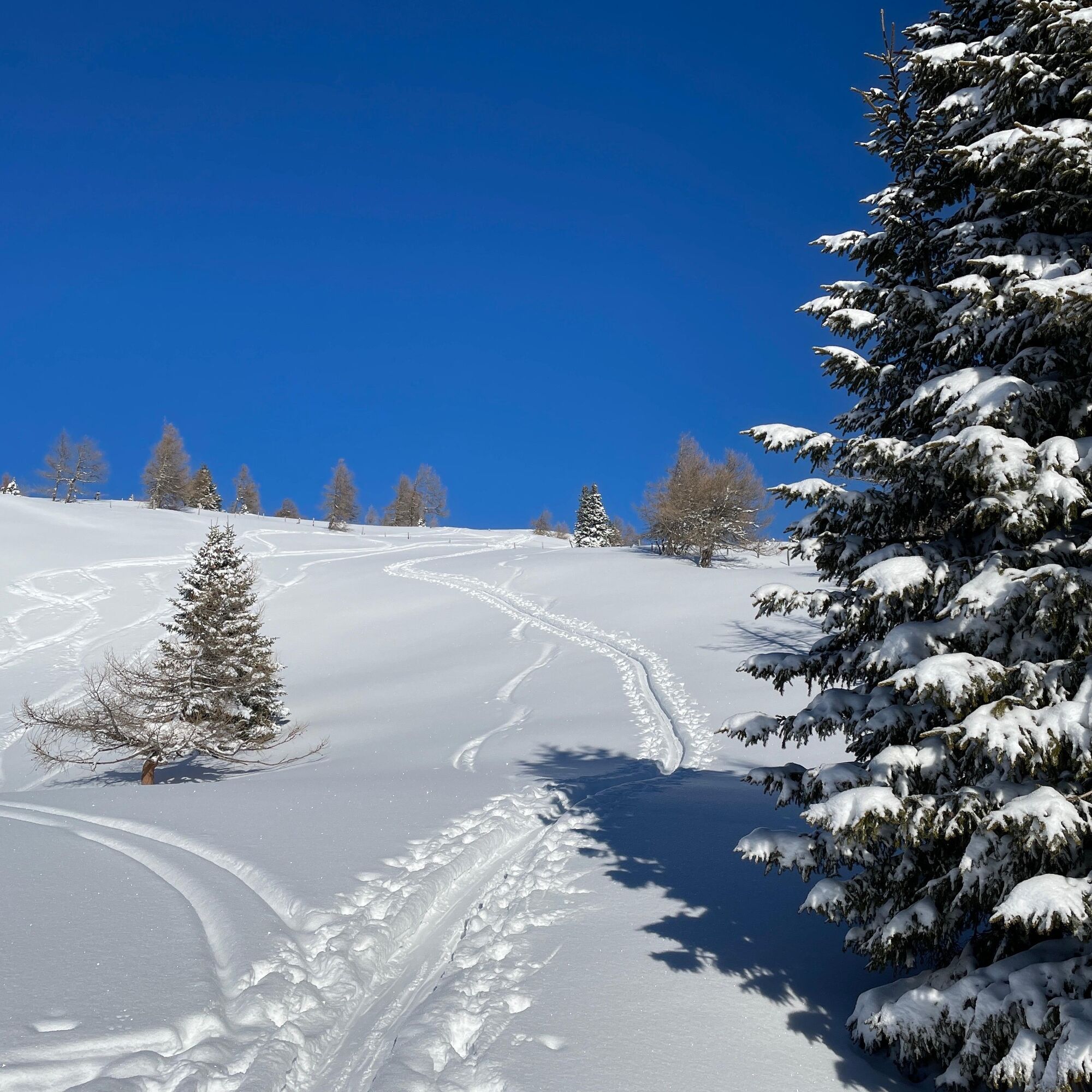
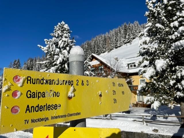
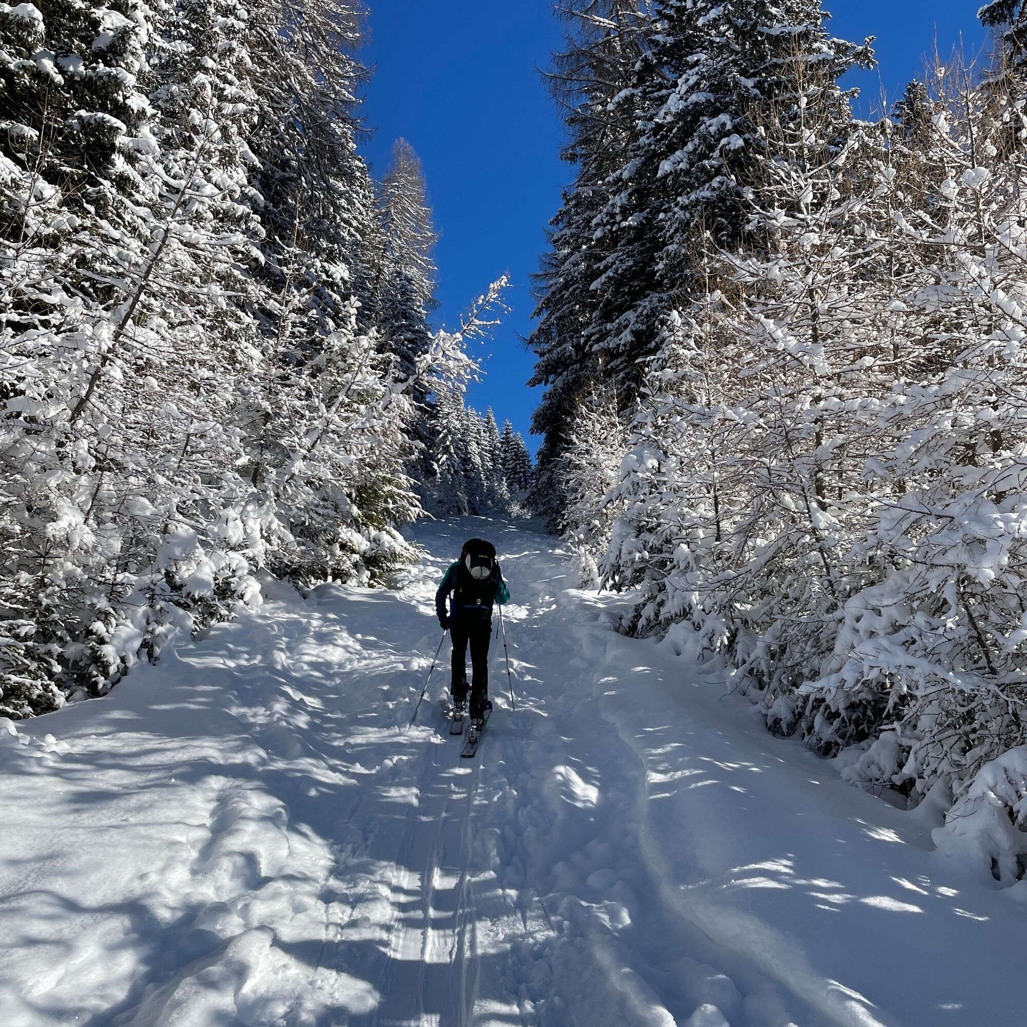
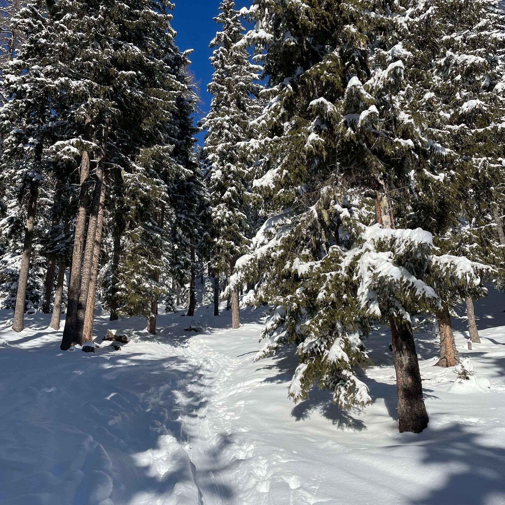

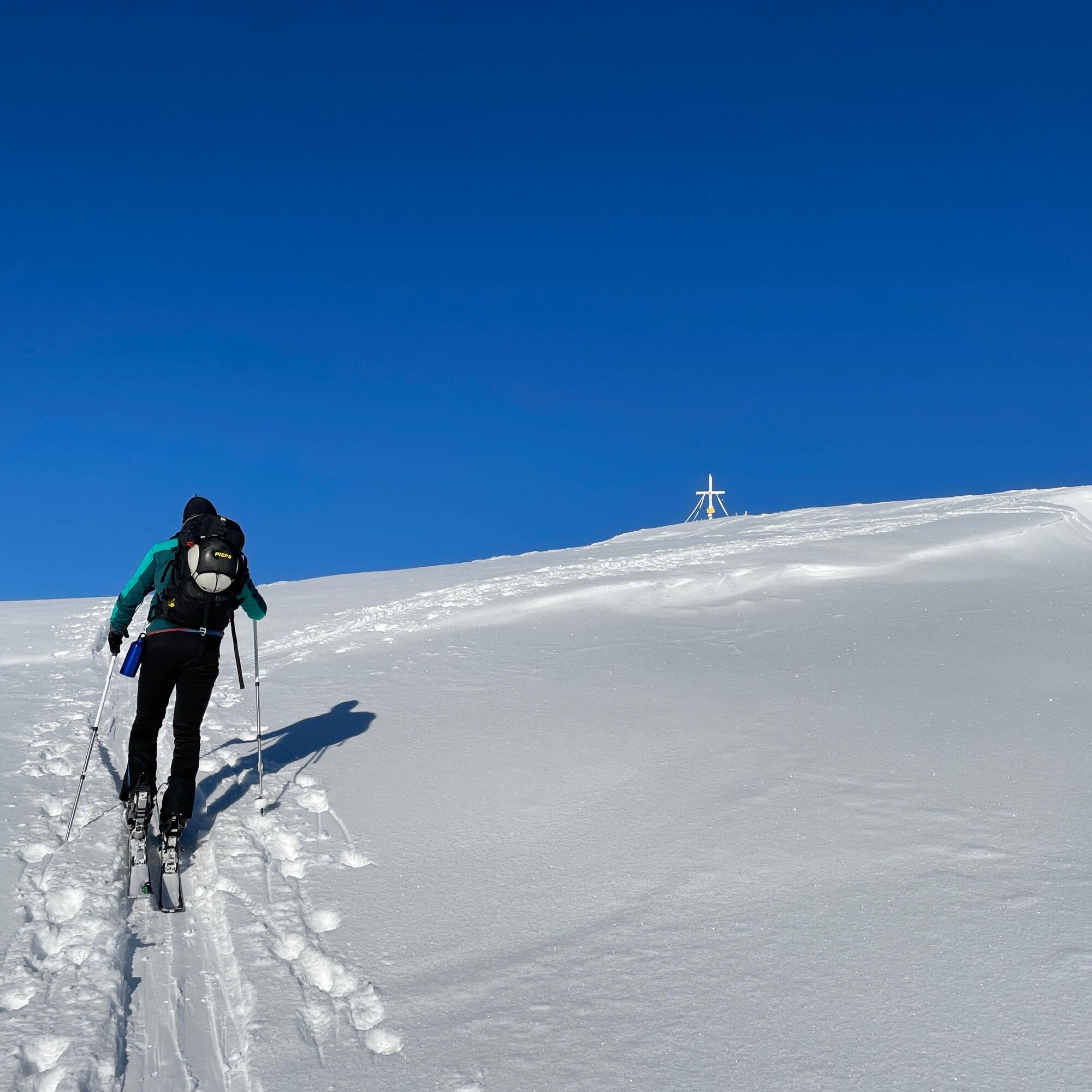
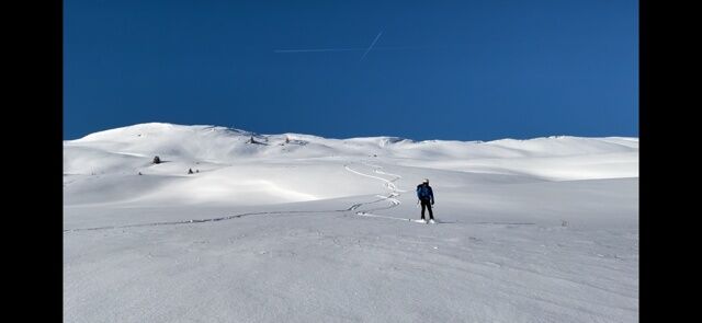
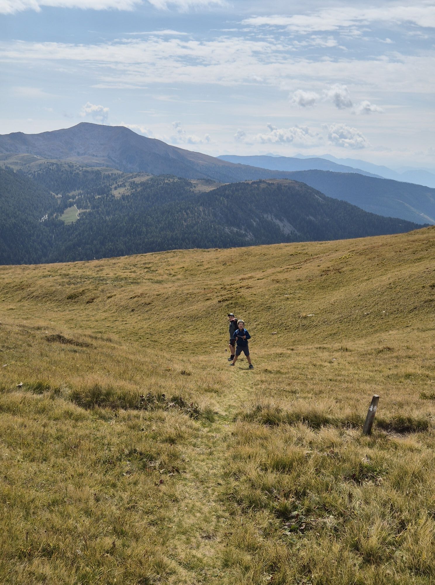
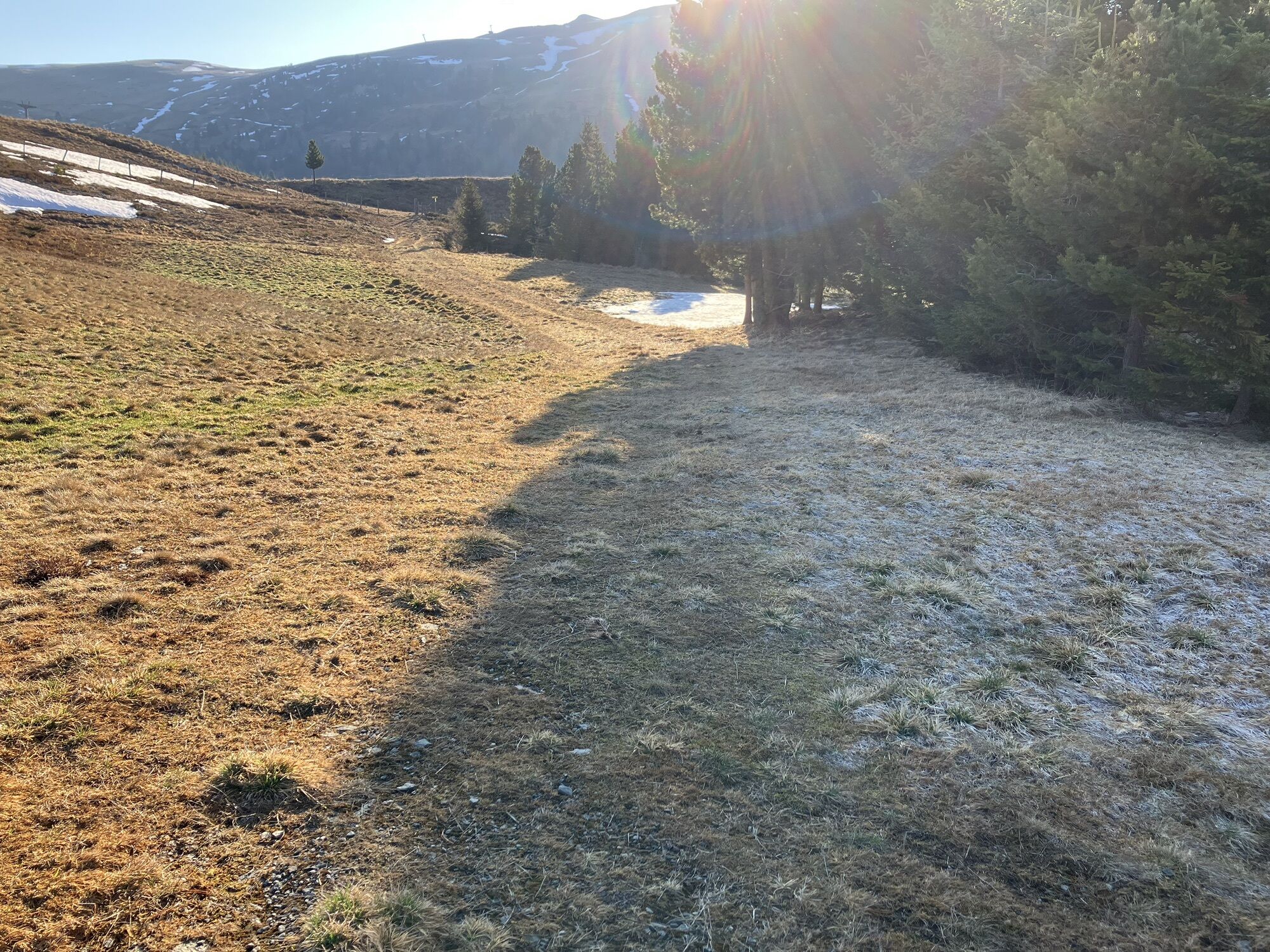
The route starts directly at the bridge over the Kremsbach, at the junction to the Nockalmstraße. At the beginning, you follow the marked summer hiking trail (113) through the forest. After about 400 meters of elevation gain, you leave the forest behind at Spittal Alm and continue without major detours across the alpine pasture to the summit of the 2,192 m high Gaipahöhe.
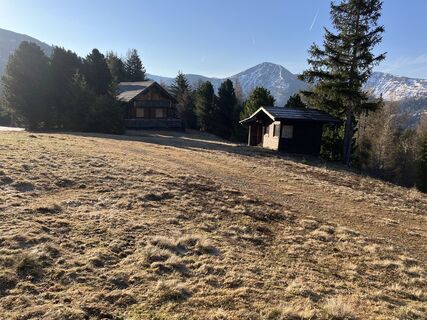
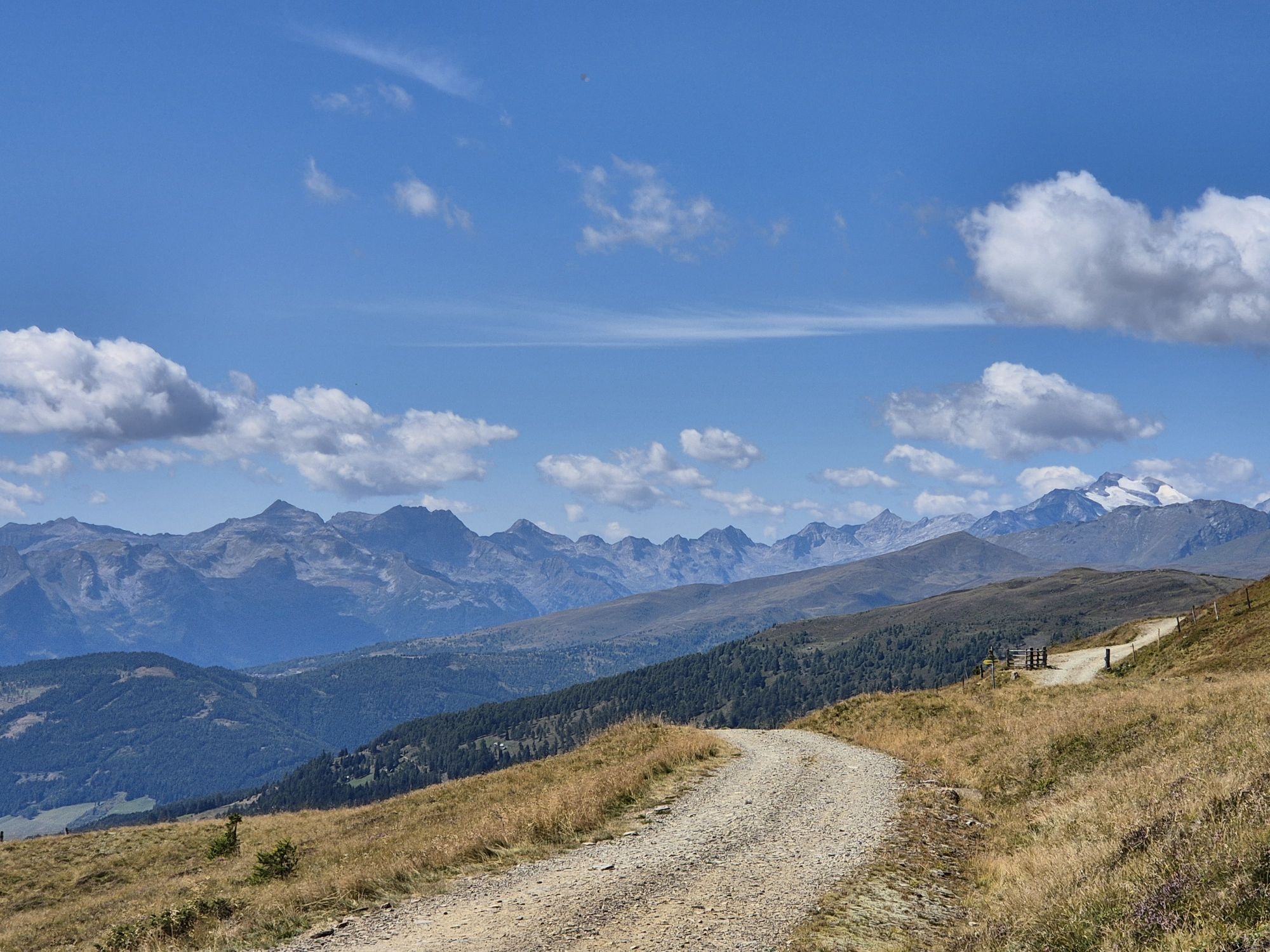
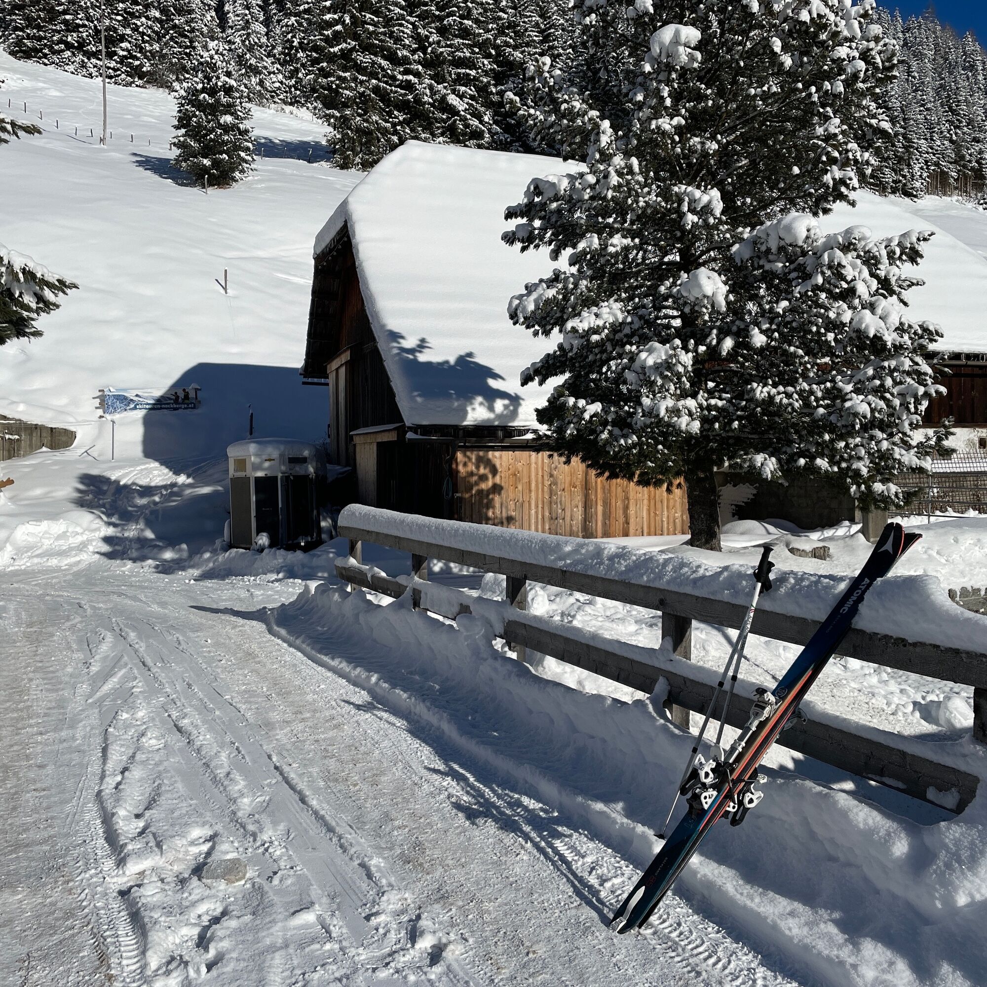
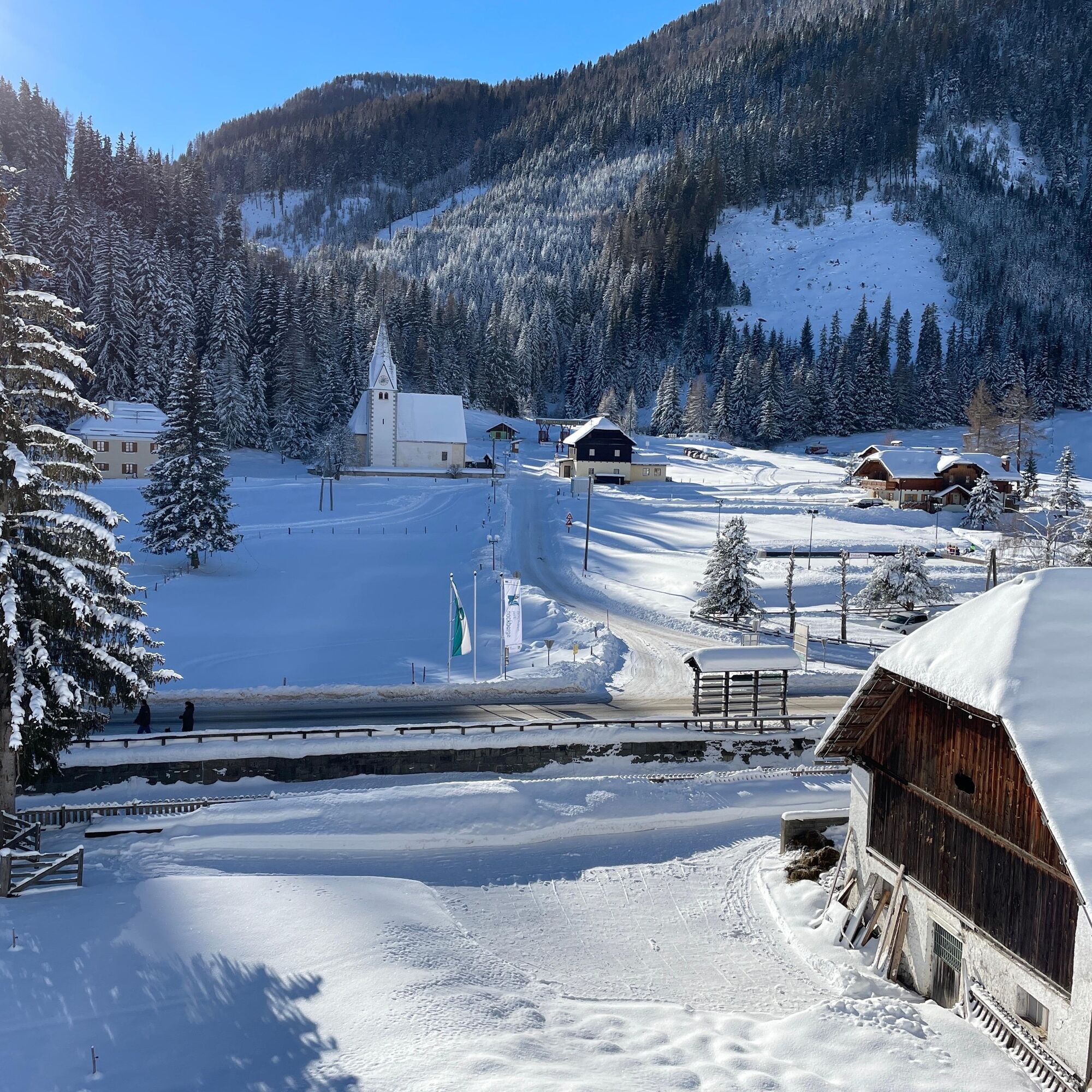
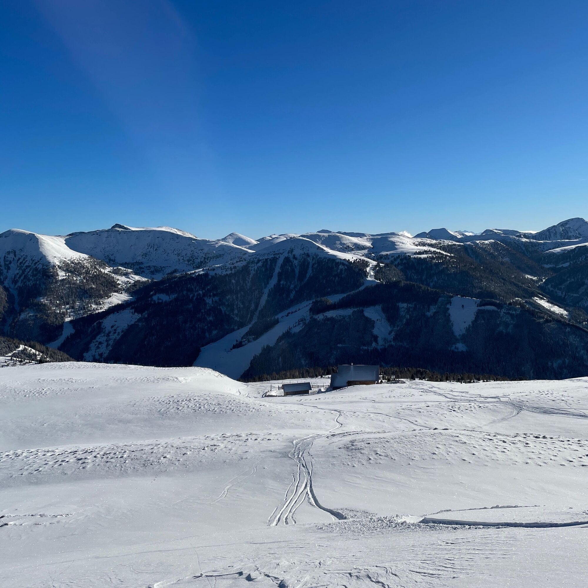
The descent follows the same route back under good snow conditions. However, as in this variant, you can also head east from the Gaipahöhe toward the Blutige Alm. Shortly before the mountain station of the Blutige Alm chairlift, a wonderfully wide, rather gentle slope leads down to Willi's hut. From there, you ski down the piste to the valley station of the Innerkremser mountain lifts. Then you must cover about 1.5 km back to the starting point, preferably along the road on the sidewalk.
Ja
Ja
Standard ski touring equipment including avalanche transceiver, shovel, probe
Safe Ski Touring - 10 Recommendations from the Austrian Alpine Club
Coming from the south via the A10 Tauern motorway to the Gmünd exit then: Eisentratten - Kremsbrücke - Innerkrems.
Coming from the north via the A10 Tauern motorway to the Rennweg exit then: Kremsbrücke - Innerkrems.
https://www.kaernten.at/service/anreise
There are usually several ski buses per day running from Gmünd to Innerkrems: https://kaernten-bus.at/fahrplaene/winterbusse.html
At the ski touring parking lot opposite the church in Innerkrems
Bring provisions for a summit snack, as the huts in the Blutige Alm ski area are no longer open. Culinary catering is only possible again in the valley village.
Populære turer i nabolaget
-
4,5
Rundweg über den Falkert
middelsVandring 6,26 km -
4,6
19, 97 Herzerl trail to the Gamskogelhütte
lysTemaløype 3,83 km -
4,9
Nockbergrundwanderweg
middelsVandring 6,62 km -
4,7
Brunnachalm Biosphärenrunde
lysVandring 8,39 km -
4,4
Rödresnock und retour
middelsVandring 5,80 km -
4,6
Falkertsee - Sonntagstal - Falkert
middelsVandring 4,84 km -
4,4
Falkertsee - Murmelsteig mit Abstieg über Falkertscharte
middelsVia ferrata 4,04 km -
3,8
Ski tour educational trail Grünleitennock
lysSkitour 10,6 km -
4,7
Falkert, Murmelsteig B/C mit Direktem Abstieg
middelsVia ferrata 3,61 km -
4,7
Gr. Königsstuhl, Nockalm, Kärnten
middelsFjellturer 7,15 km
Vandring og sporing


Ikke gå glipp av tilbud og inspirasjon til din neste ferie
E-postadressen din har blitt lagt til på adresselisten.