


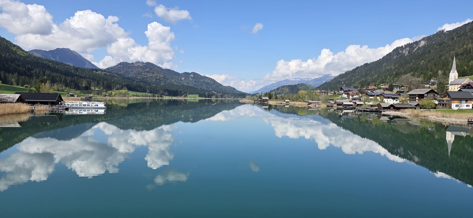
From the bridge along the lake towards the west. First about 800 meters on asphalt, then on gravel. After 2 kilometers straight on into a meadow path - follow this until the next forest road. Turn sharp...
From the bridge along the lake towards the west. First about 800 meters on asphalt, then on gravel. After 2 kilometers straight on into a meadow path - follow this until the next forest road. Turn sharp left here and follow the gravel road to the Kreuzbergstraße B87. Turn left and follow the main road to the Kreuzberg pass. Immediately after that, keep slightly left and follow the rough gravel road, which becomes a cart track after 1.5 km, downhill. After a further kilometre, this path joins the main road again and leads to the centre of Weißbriach. To return, take the B87 pass road to the highest point. From here, take the same route back to Weissensee. The tour can also be done by E-MTB.

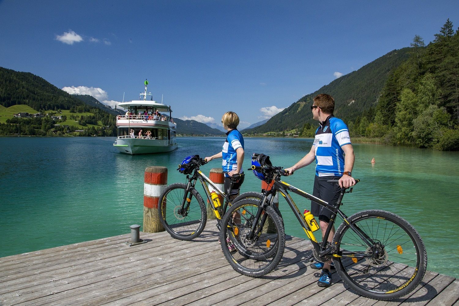
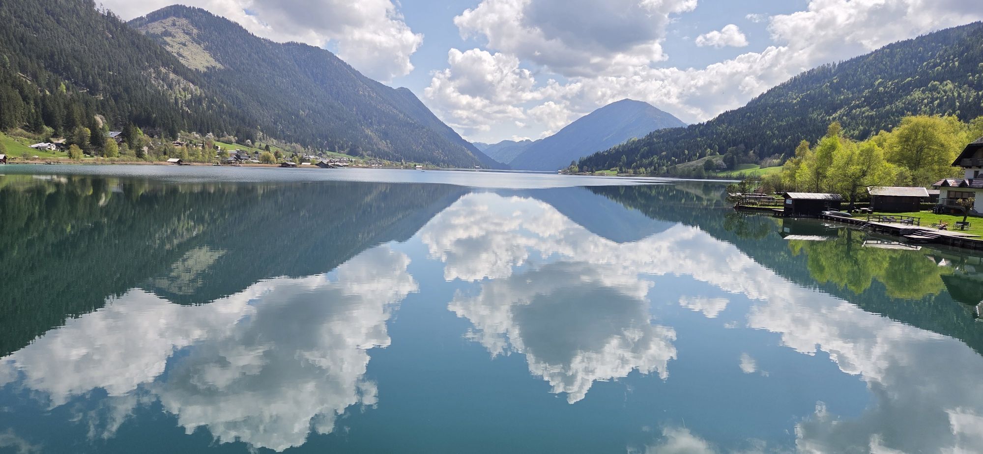
KM 0 Follow the Süduferweg in a westerly direction
KM 0.8 The subsoil changes to gravel
KM 2 Bear left - follow the Wiesenweg
KM 2.4 The meadow path leads into a gravel road - uphill to the left
KM 3 Keep slightly to the left
KM 3.6 Turn right as far as the main road - then follow this road to the left as far as the top of the pass
KM 4.3 Kreuzberg - turn left onto a gravel road
KM 4.5 Keep right
KM 5.2 straight ahead
KM 5.7 Keep right
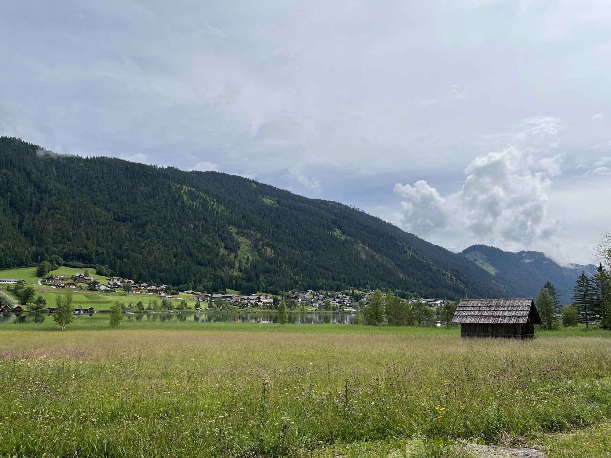
KM 5.9 Bauer Moosmüller - bear left and follow the rough gravel road further downhill
KM 6.7 At the junction with the B87 main road - follow this road into the centre of Weißbriach
KM 7.6 Weissbriach town centre - now turn back, follow the main road to the top of the pass and then take the same route back to your starting point
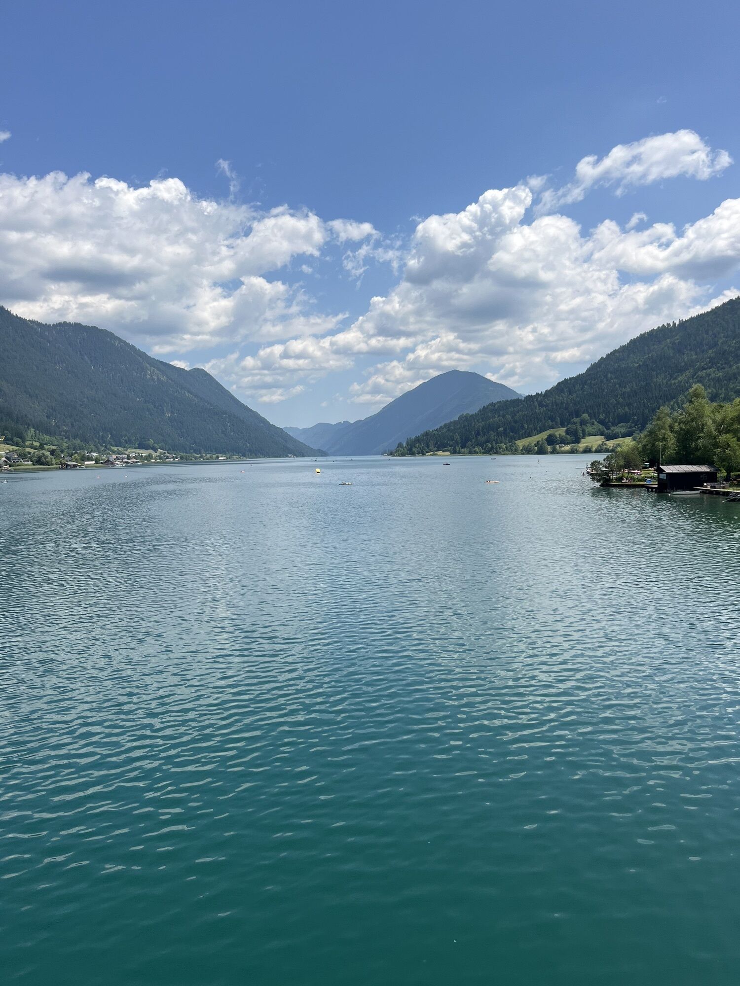
KM 12.3 Turn right - back to your starting point at Weissensee
Helmet duty!!!!!!
Right clothing: Do not only adapt your clothing to the current weather conditions. Also pack warm clothing, a spare jersey and rain protection in summer, especially in the early and late seasons.
Emergency equipment: bandages, repair kit (spare hose, pump, tools), map, mobile phone and possibly GPS
ATTENTION: In the mountains reception is not guaranteed everywhere!
Take enough to drink with you and plan a stopover in good time
When the line is closed - absolute driving ban!
Always drive on half sight.
Always adjust your speed so that you can stop in time before obstacles or avoid oncoming traffic
Watch out for pedestrians and hikers and drive slowly past
Driving on the track with motorcycles will be reported without exception.The use of the bicycle routes is at your own risk.
In the forest, especially camping, camping in the dark, making fires, disturbing game or entering forest cultures under 3 m tree height are prohibited by law.
Check your sports equipment regularly and wear a helmet
Only the use of the approved, marked routes is permitted.
Never leave the marked path
We ask for consideration for the environment. Avoid noise and pollution. Restrict driving in the twilight to protect wild animals.
Observe the road traffic regulations and provide first aid if necessary.
Please always close gates and gates. Caution during forestry work!
Correct self-assessment
Start in time and plan for reserves
Leave higher altitudes in bad weather
Make sure that you can get through safely if there are impassable stretches of road. If you do not feel safe, turn back soon enough
For a safe cooperation please follow the Fair Play rules (Link) Emergency call: (+43 4282)112
Approach via the B87 Weißensee Bundesstraße.
Arrival to Weißensee possible with public transport.
www.nassfeld.at/mobilitaet
Public parking spaces are available directly at the starting point.
Populære turer i nabolaget
-
4,9
Weissensee Ost- nach Westufer
lysVandring 10,2 km -
4,8
Slow Trail Weissensee
middelsVandring 6,69 km -
5,0
RW_N9 Weißenbachklamm
tungVandring 8,16 km -
4,0
Emberger Alm - Hochtristen
middelsVandring 9,50 km -
4,6
W5 - Naggler Alm Round Weissensee
middelsTerrengsykkel 15,8 km -
4,5
Bergstation Weißensee bis Golz
middelsVandring 14,8 km -
4,8
Drau Cycle Path R1
lysSykling 75,9 km -
5,0
Weissensee Steinwandpfad
middelsVandring 9,10 km -
5,0
Möselalm - Weißbriach/Gitschtal
lysVandring 5,12 km -
4,7
Two Lakes – Hochtristen
middelsVandring 9,80 km

Vandring og sporing


Ikke gå glipp av tilbud og inspirasjon til din neste ferie
E-postadressen din har blitt lagt til på adresselisten.