


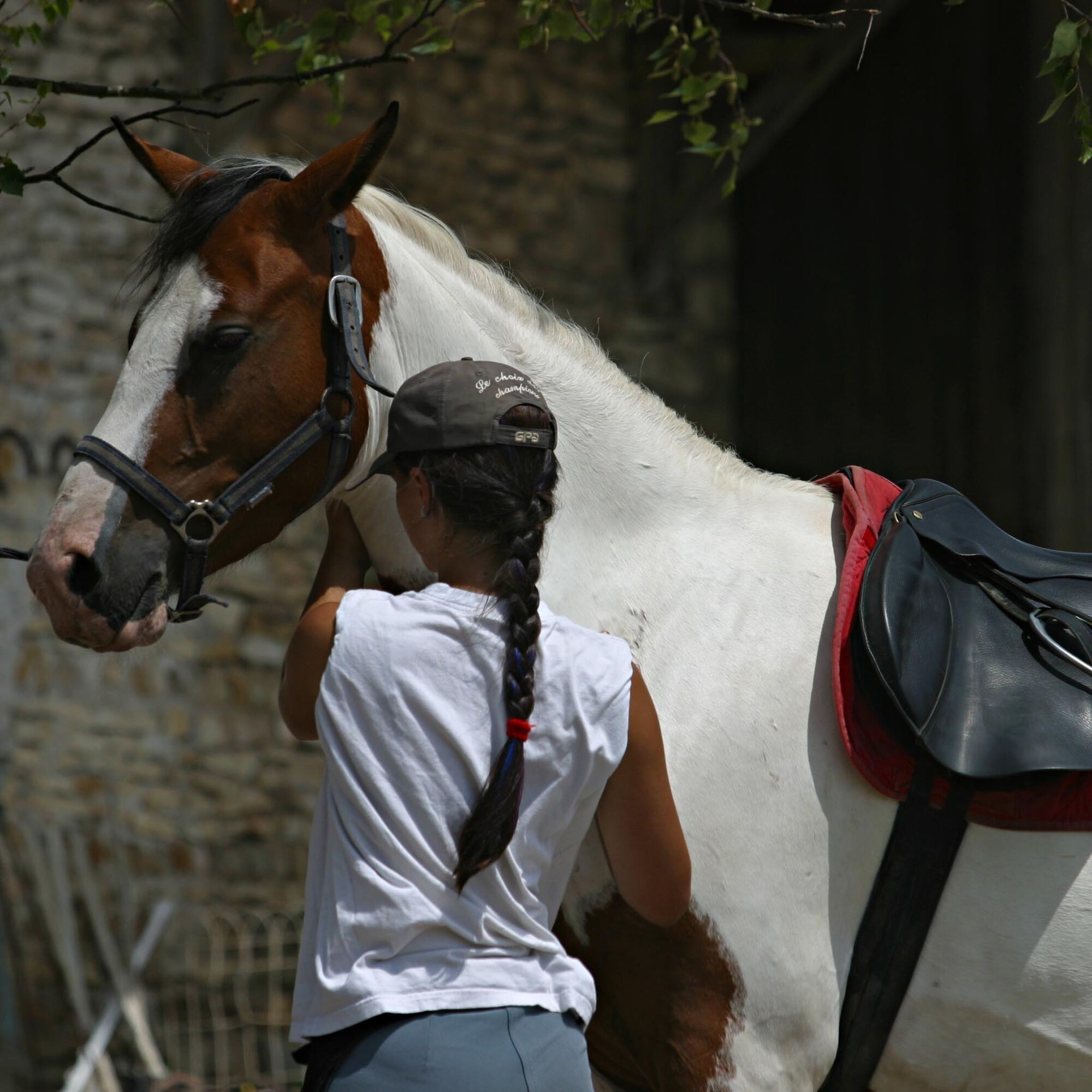
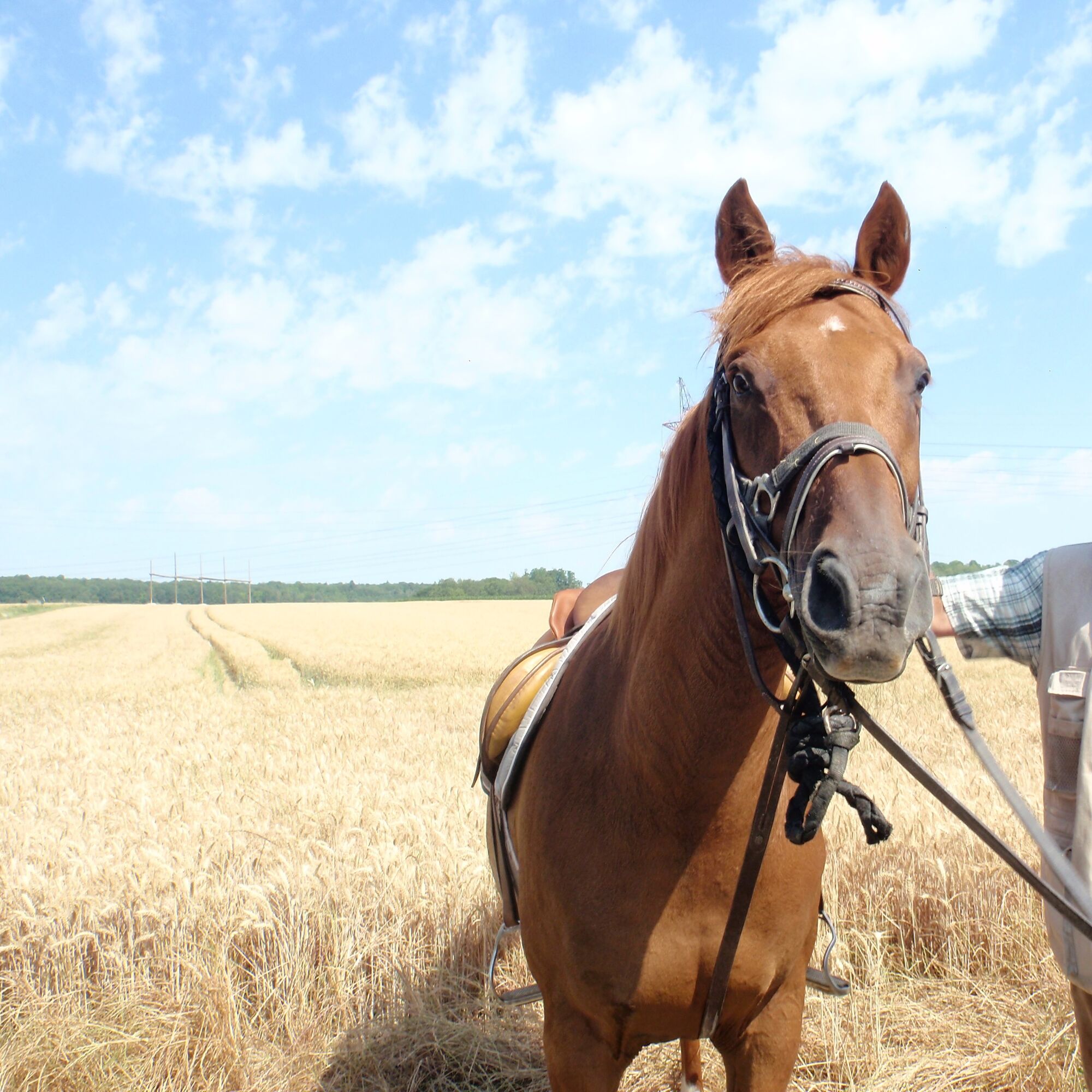
Starting from Boisemont, this circuit adapted for horseback riding offers the possibility to discover the impressive natural heritage of the Vexin area.
Some places not to miss on the route:
Boisemont:
-...
Starting from Boisemont, this circuit adapted for horseback riding offers the possibility to discover the impressive natural heritage of the Vexin area.
Some places not to miss on the route:
Boisemont:
- Walk through the Hautil forest, a natural border between the Seine valley and that of the Oise.
Gouzangrez:
- Find the Chaussée Jules César, a Roman road that once connected Paris, Rouen, and Lillebonne in Seine-Maritime.
Théméricourt:
- Headquarters of the French Vexin Regional Natural Park, you will find the Château de Théméricourt housing the Park House as well as the French Vexin Museum. On the gastronomy side, the town is renowned for its repeatedly award-winning beer production.
Condécourt:
- An ancient town following the Aubette valley, it is home to the sumptuous Château de Villette, classified along with its park.
This circuit is available on Val d'Oise MyBalade and offered by the Departmental Committee of Horsemanship


For the night, we recommend the Gîte du Centaure located in Vigny.
For the night, we recommend the Gîte du Centaure located in Vigny.
Populære turer i nabolaget
-
In the footsteps of Van Gogh
middelsRidning 21,0 km -
Circuit vélo : autour de la ville nouvelle de Cergy-Pontoise
lysSykling 31,5 km -
Théméricourt Loop
lysSykling 30,9 km -
The Impressionists along the Viosne and the Oise
lysVandring 9,05 km -
Loop: The banks of the Oise
lysSykling 24,3 km -
Upper Woods Route: Vallangoujard
middelsTerrengsykkel 20,2 km -
Circuit vélo : sur les traces de Van Gogh et Pissarro
lysRennrad 45,4 km -
Circuit vélo autour de la croix pattée
lysRennrad 23,4 km -
Circuit vélo : la boucle d'Auvers-sur-Oise
middelsSykling 33,3 km -
De la Viosne aux Buttes de Rosne
tungRennrad 39,0 km
Vandring og sporing


Ikke gå glipp av tilbud og inspirasjon til din neste ferie
E-postadressen din har blitt lagt til på adresselisten.