


From the church in the town of Griesheim-Près-Molsheim, follow the direction to Rosheim and take the marked route no. 60.
Arrived at the Tourist Office in the heart of Rosheim, turn right into Braun street. Pass under the Lion Tower. Then join the greenway “Portes Bonheur, the quarry path” and go to the old Boersch station.
Arrived in Boersch, head towards Obernai.
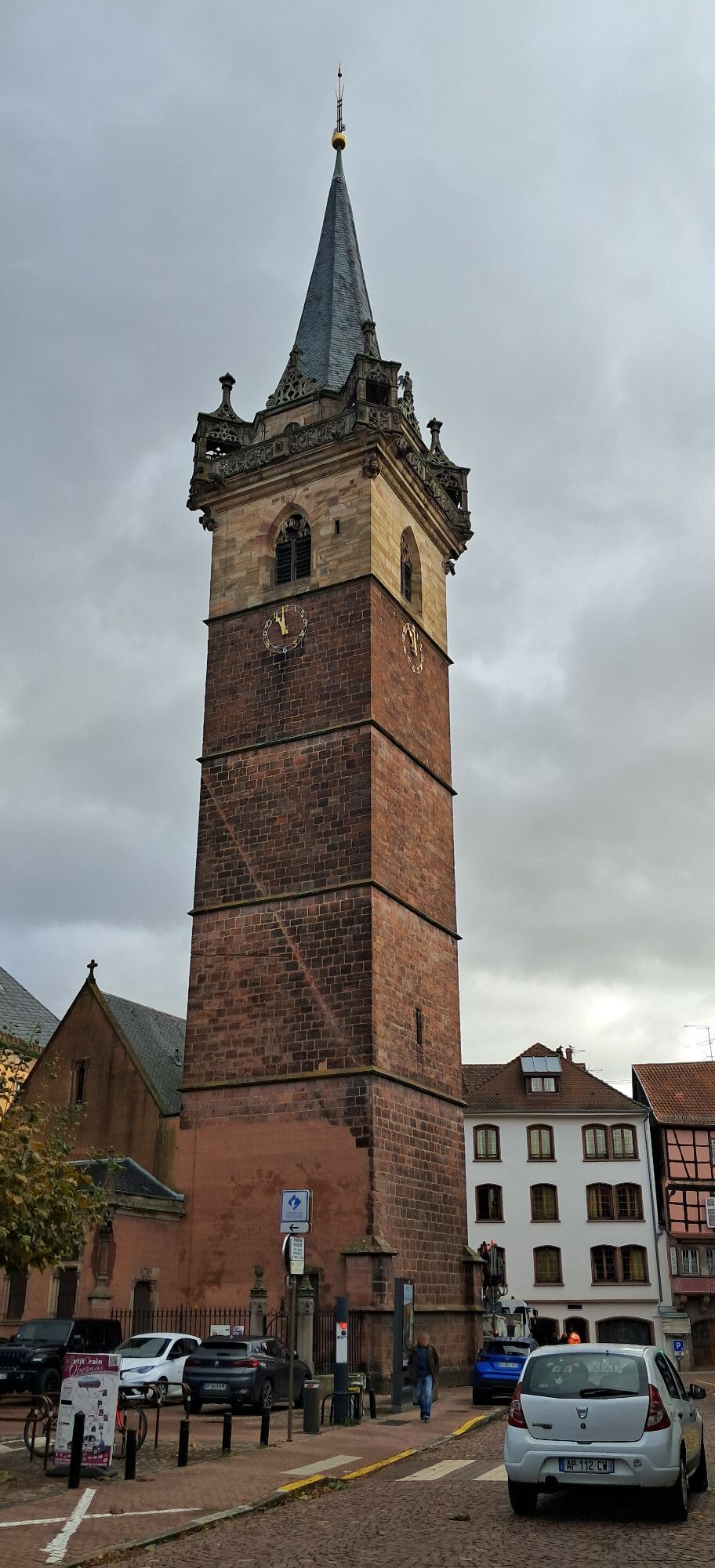
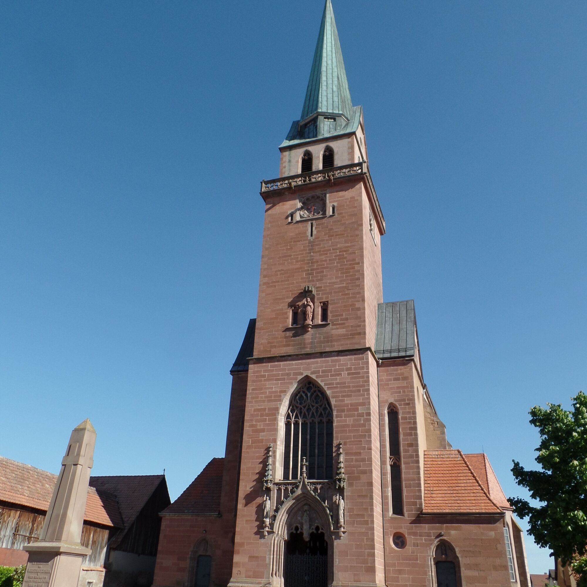
Arrived in Obernai, take the Boersch road towards the town center. Arrived in front of the Sts-Pierre-et-Paul church, turn left at the roundabout towards the town center. Take rue du Général Gouraud passing in front of place de l'Etoile, then take rue Ste Odile, Dietrich then Baegert. Turn left onto rue de Sélestat. Arrived at place Neher, go through the Swaahl gate to reach the Remparts parking. Follow the Ehn river by taking the bike path towards Niedernai.
Arrived in Niedernai, cross the D142 and take rue des Pierres (a little to the right). At the roundabout take rue Loewert, then immediately left into rue des Oiseaux. Continuing on the street, take the bike path towards Meistratzheim.
Arrived in Meistratzheim, take the main street towards the town center then take rue de Strasbourg towards Krautergersheim. Take the bike path to Krautergersheim.
Arrived in Krautergersheim, take the Meistratzheim road then at the roundabout turn right. Then turn left onto rue de Paris to find the bike path to Innenheim.
Arrived in Innenheim, take rue de la liberté on the right, then rue Ste-Odile which leads to rue du Général de Gaulle. Turn left. After the Moschler farm, take the roundabout towards Griesheim-Près-Molsheim. Take the bike path which will lead you there.
Ja
Before setting off :
- Make sure the bike is in perfect mechanical condition, including tires and brakes
- Make sure the bike is properly adjusted to your body shape
- Wearing a helmet is highly recommended
- Take a repair kit
- Remember that the Highway Code applies to cyclists in all circumstances
- Never ride more than two abreast and move into a single file when traffic conditions require it
- Respect other users as you would like them to respect you
- Choose a route adapted to your physical abilities
- Inform those around you of your itinerary
- Check the weather conditions
- A first aid kit is not essential, but can be very useful
- Find out and keep emergency numbers.
- Respect the environment by not throwing your food wrappers on the roadside
- If you have to return at nightfall, make sure you can see and be seen
Wearing a helmet is not mandatory in France, but strongly recommended for your safety.
The proposed routes have been designed to be as safe as possible. It is the cyclists' responsibility to obey traffic signs and the Highway Code.
For departure from Rosheim: take the Rosheim exit (D35) from the D500
For departure from Obernai: take exit 11 (from Strasbourg) or exit 12 (from Colmar) on the A35 motorway.
The route is accessible by train :
- Rosheim station (100 m from the route)
- Obernai station (200 m)
Rosheim: Free parking at the old station, avenue Clémenceau.
Obernai: Free parking at the Remparts, rue de l'Abbé Oesterlé.
Populære turer i nabolaget
-
Randonnée du Mont Saint Odile
lysVandring 15,2 km -
Bicycle Circuit "Rosheim - Obernai via the Portes Bonheur"
middelsSykling 20,6 km -
Bike Route "Parks and Gardens"
lysSykling 40,6 km -
Partez à l'assaut des châteaux
tunglangdistanse tursti 57,6 km -
5,0
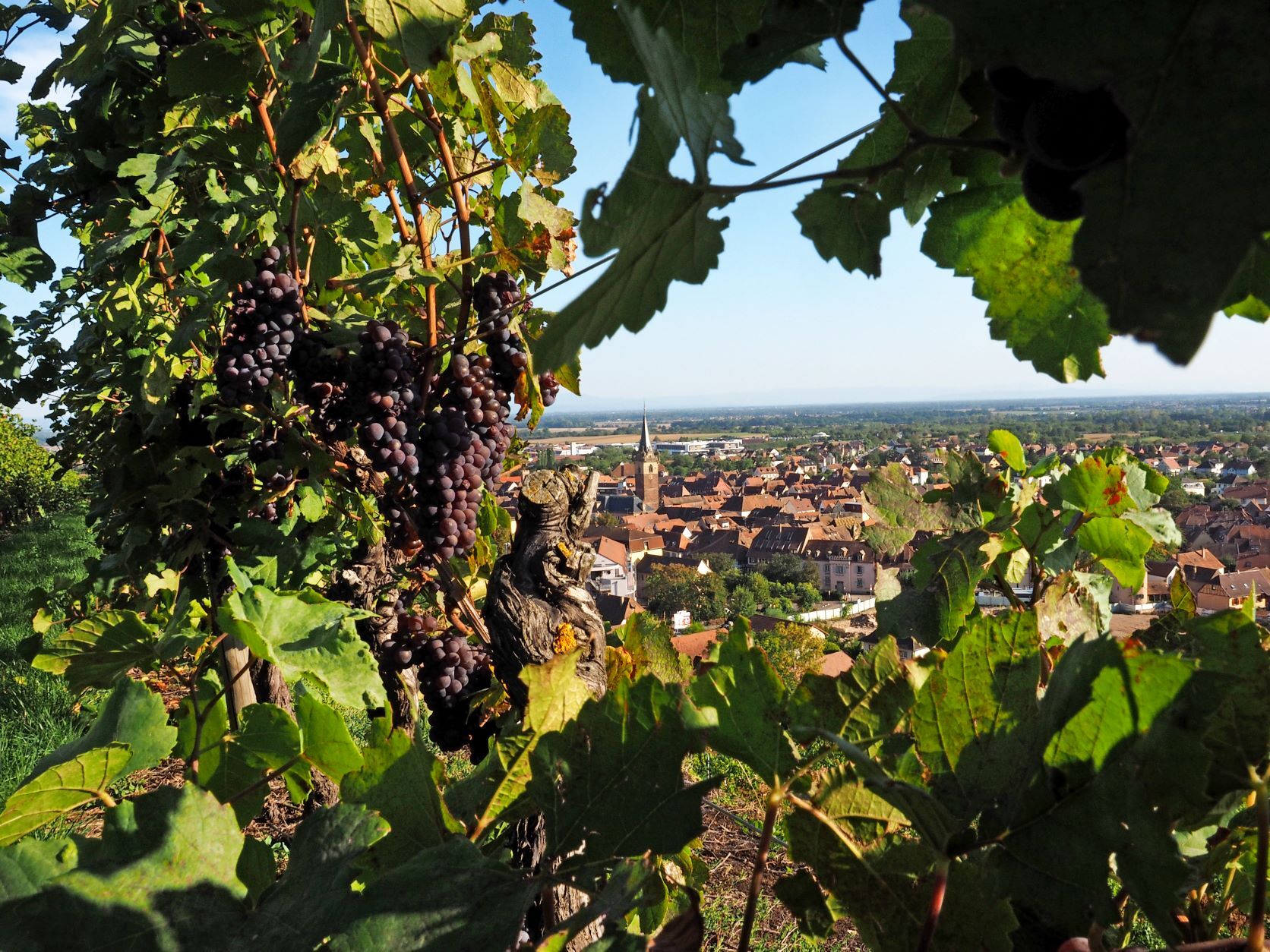
"Grands Crus" Bike Route
lysSykling 29,8 km -
Bike loop "Mont Sainte-Odile from Obernai"
tungSykling 27,7 km -
Strasbourg - Barr bike loop
middelsSykling 86,5 km -
Bike loop "Le Mont Sainte-Odile from Rosheim"
tungSykling 33,6 km -
Local Alsace à Vélo loop BL214 "Klevener and gingerbread"
lysSykling 30,2 km -
"Vineyard and Mountain" cycling loop
tungSykling 50,0 km
Vandring og sporing


Ikke gå glipp av tilbud og inspirasjon til din neste ferie
E-postadressen din har blitt lagt til på adresselisten.