


Vanskelighetsgrad: 1


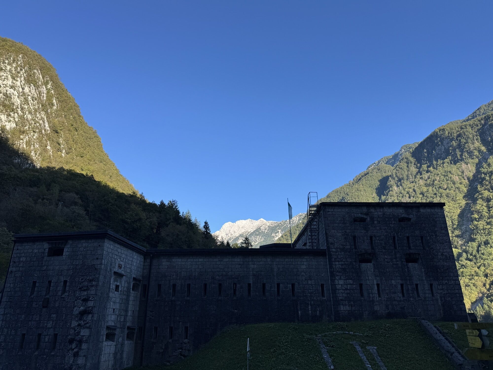
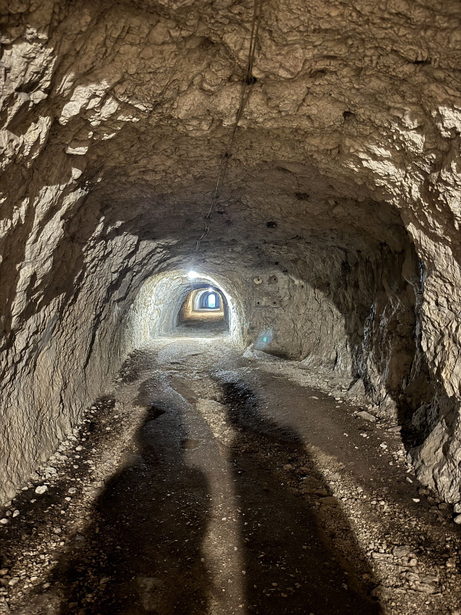
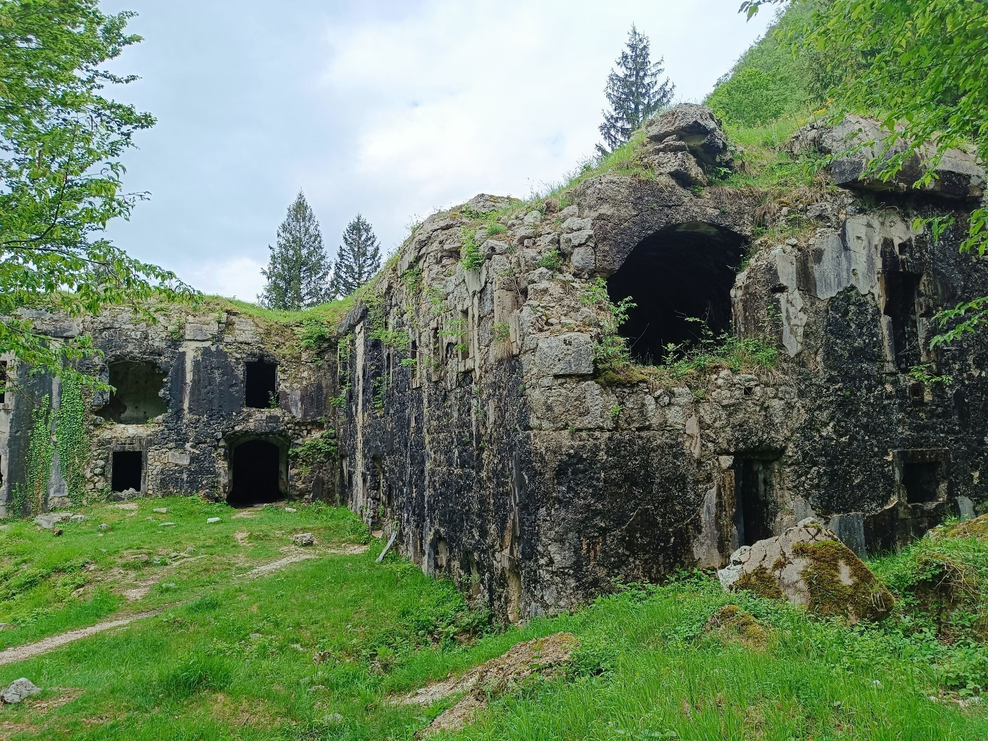
In the village, descend along the right bank of Predelica to Koritnica. Riding alongside its cool flow is pure pleasure in the summer heat. Kluže fortress is a place where imagination itself finds a path...
In the village, descend along the right bank of Predelica to Koritnica. Riding alongside its cool flow is pure pleasure in the summer heat. Kluže fortress is a place where imagination itself finds a path to the past, when these mighty buildings were built and inhabited. Above Kluže, Hermann's fortification is also worth a visit, accessible by a bike path. From Kluže, descend to the point where the hiking trail Julian Trail crosses. Turn right from the road onto a beautiful forest road and continue over meadows where you can enjoy views of the Trenta valley, Svinjak, and south towards Stol, leading to Bovec.

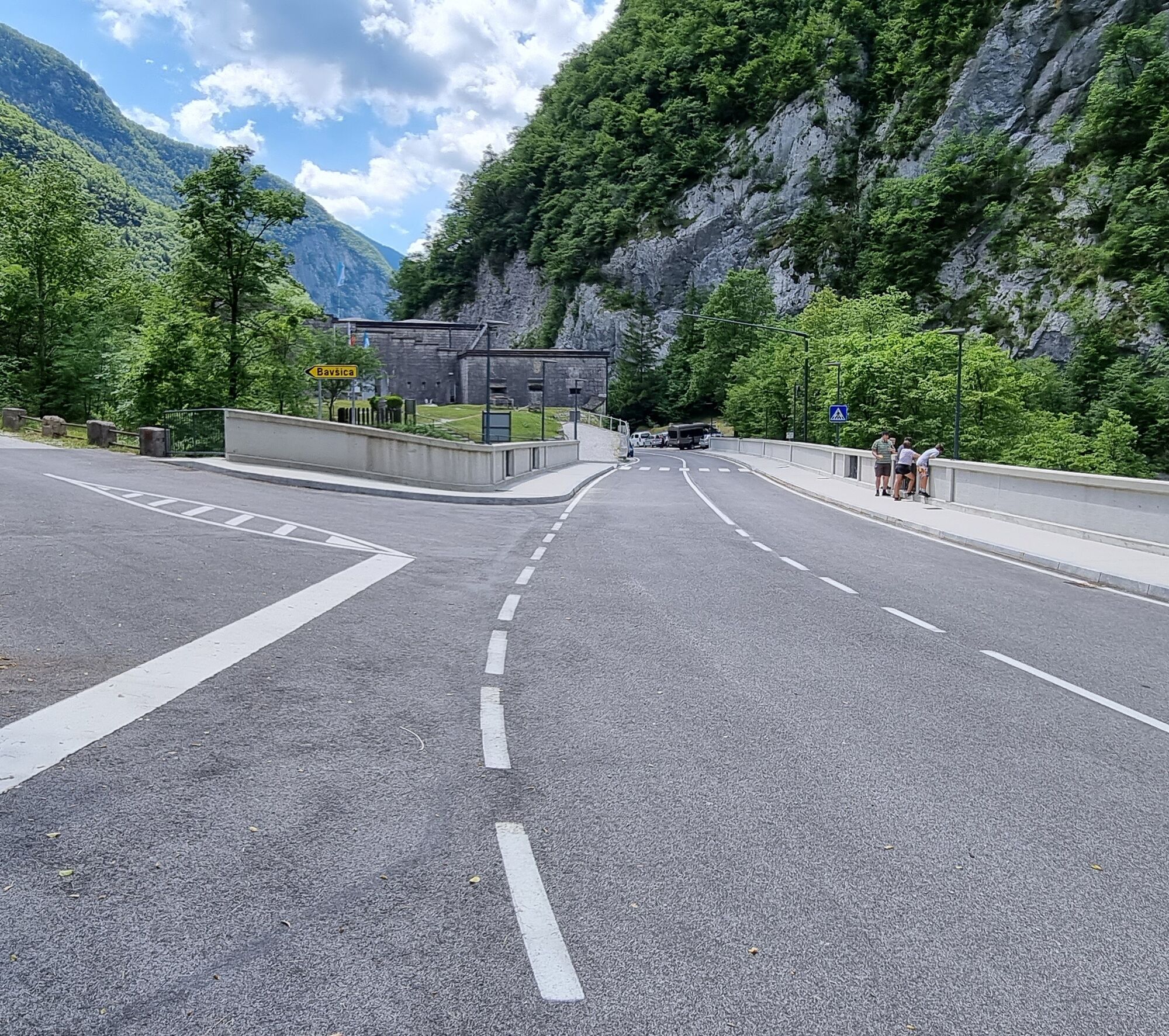
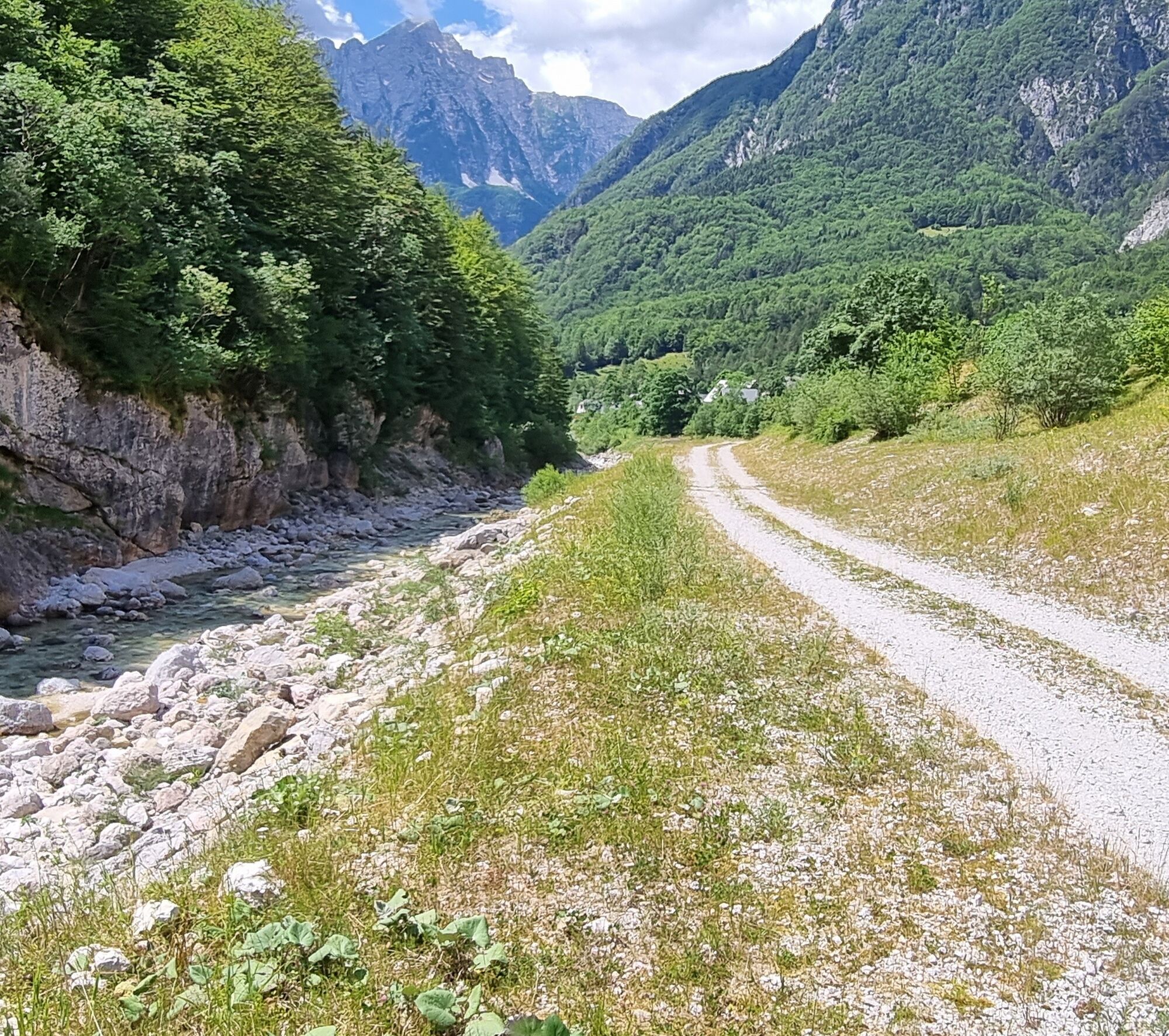
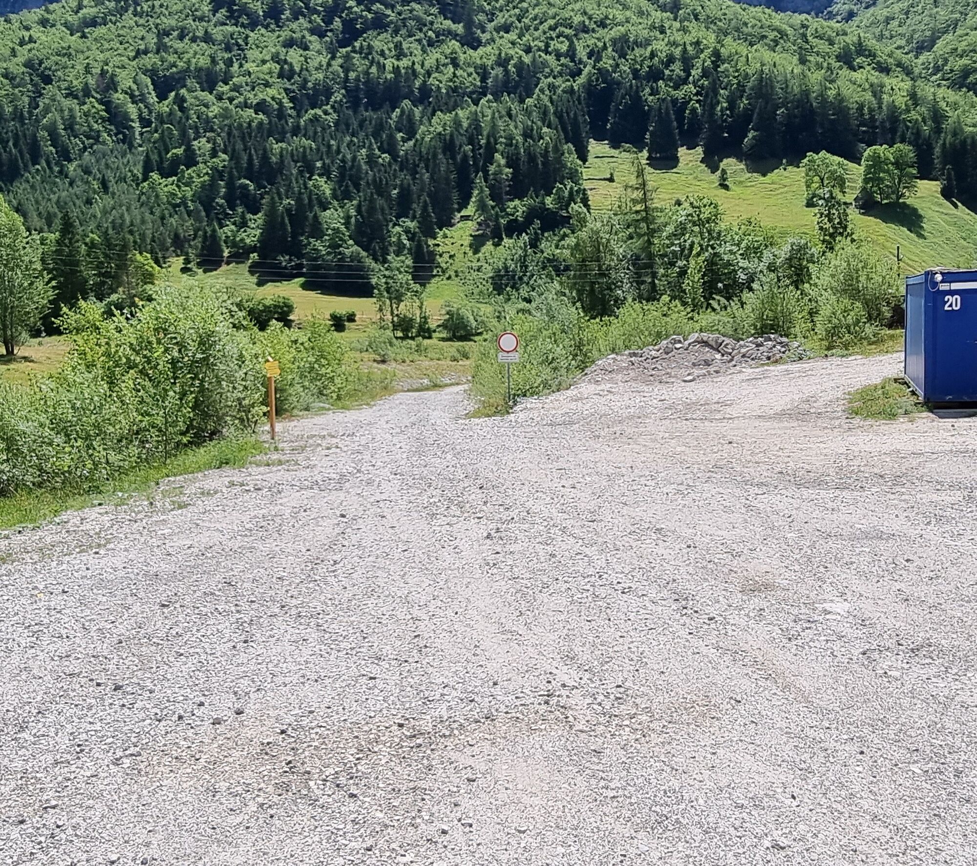
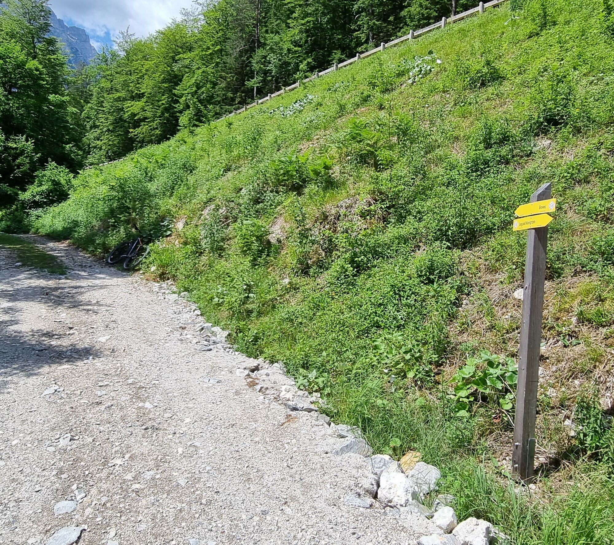
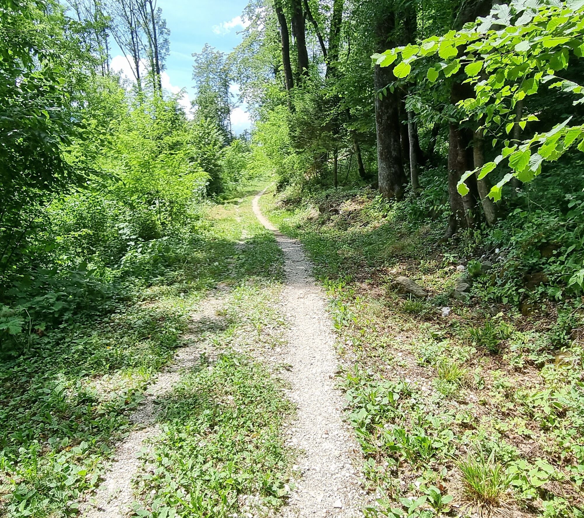
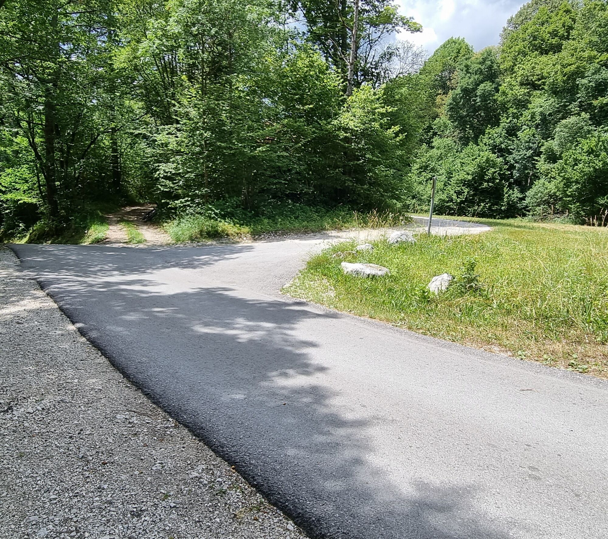
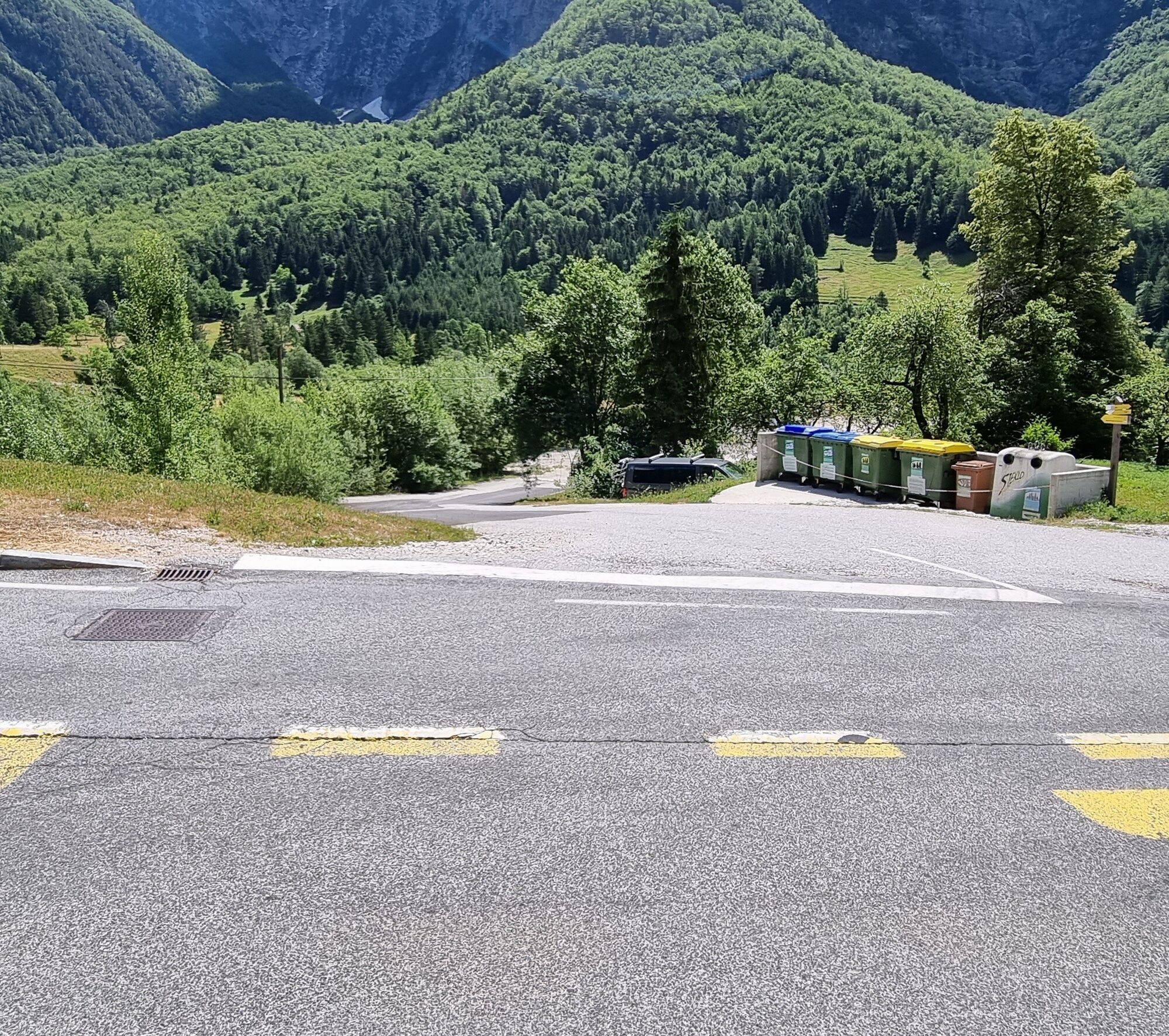
The route starts in Log pod Mangartom on the lower side of the bridge over Predelica. Descend left down the gravel road that runs along the right bank of Predelica to the confluence with Koritnica and continue along Koritnica downwards. Follow the beautiful gravel road to a parking lot where our path joins the Log - Bovec road. Slightly lower on our right is the turnoff to Možnica valley. Continue descending on the road past Kluže fortress. After about two kilometers, watch for the yellow Julian Trail direction sign on the right side of the road. At this point, Julian Trail crosses the road and continues on a forest road to the right of the road towards Bovec. Turn onto the forest road and continue straight. Follow the Julian Trail direction signs all the way to the center of Bovec and end the route at the TIC.
Technically flawless bike (road, gravel, XC or all-mountain)
Helmet, gloves, sunglasses
Food and drinks from the backpack
Spare inner tube, pump, multitool, first aid kit
Personal ID, health insurance card, mobile phone and/or navigation device, map of the area.
1
Webkameraer fra turen
Populære turer i nabolaget
-
4,4
Zacchi Wanderung Rundweg
lysVandring 8,85 km -
4,9
Monte Lussari über den alten Pilgerweg
middelsVandring 6,43 km -
4,2
Kozjak Wasserfall und Soča
lysVandring 5,18 km -
4,9
Fusine Lakes
lysVandring 5,43 km -
4,2
Monte Lussari über den Büßerweg
middelsVandring 5,66 km -
4,0
Boka Wasserfall
middelsVandring 1,94 km -
4,0
Monte Santo di Lussari, Skitour, Pilgerweg
middelsSkitour 9,35 km -
4,5
Monte Lussari
lysSkitour 5,35 km -
4,7
Weißenfelser Seen: Fusine in Valromana - Ai Sette Nani - Seealm
middelsVandring 10,3 km -
4,5
Terra Rossa
lysVandring 9,29 km

Vandring og sporing


Ikke gå glipp av tilbud og inspirasjon til din neste ferie
E-postadressen din har blitt lagt til på adresselisten.