


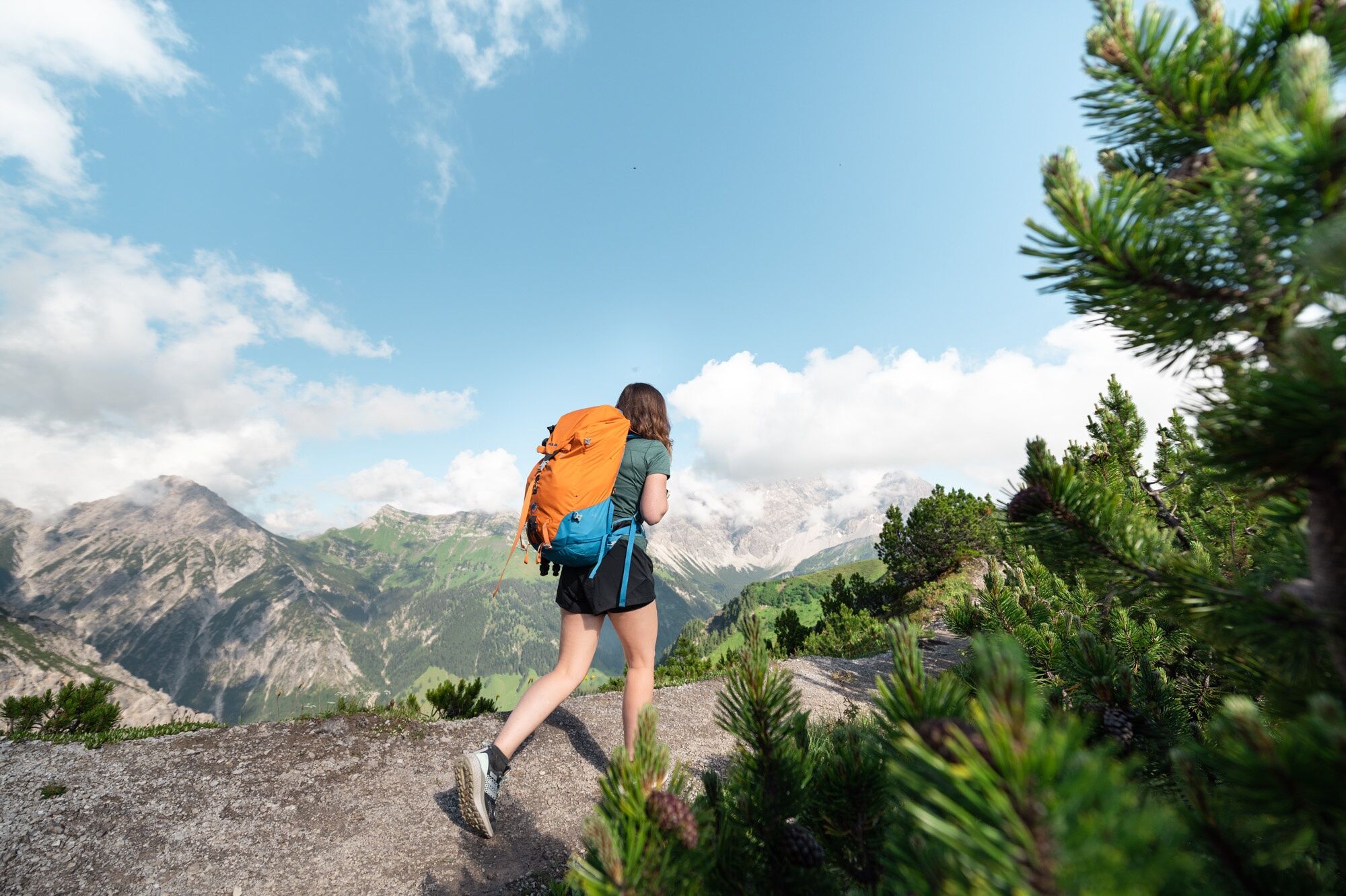
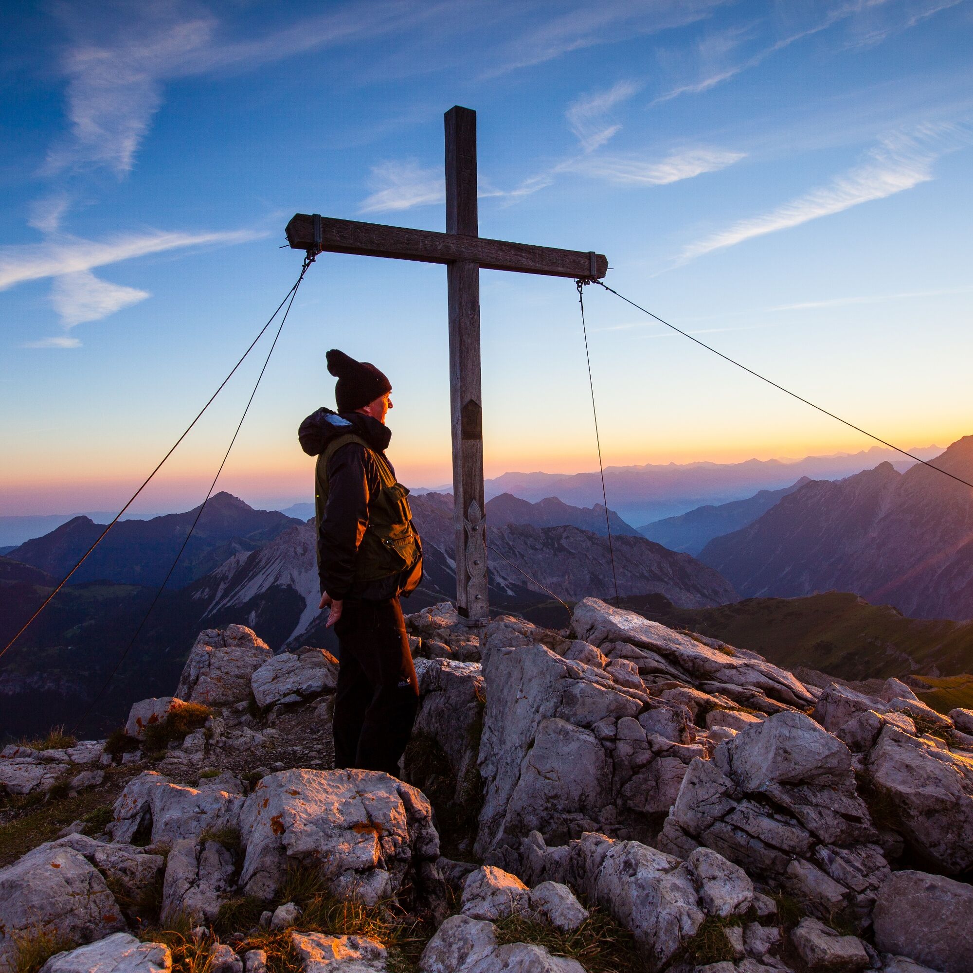
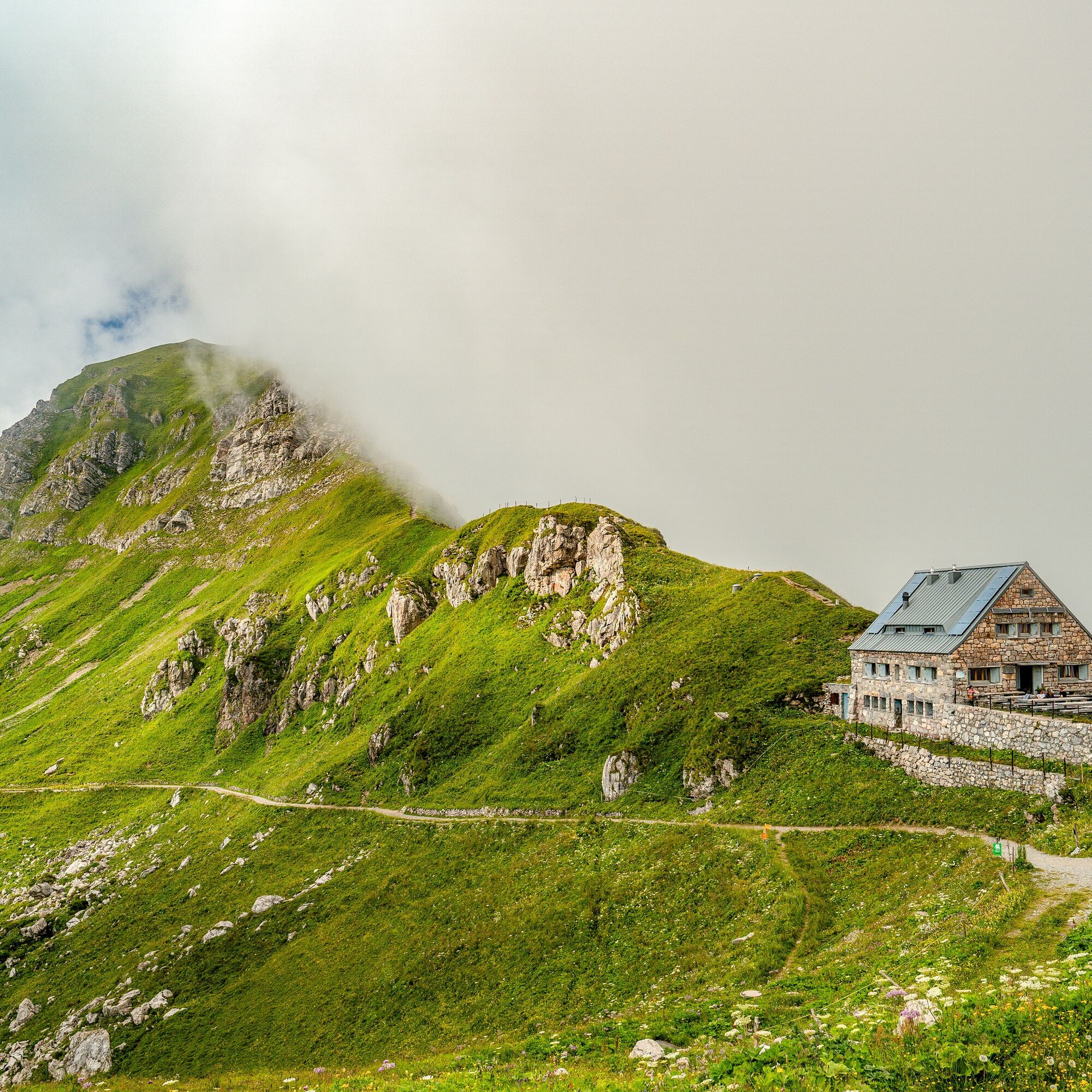
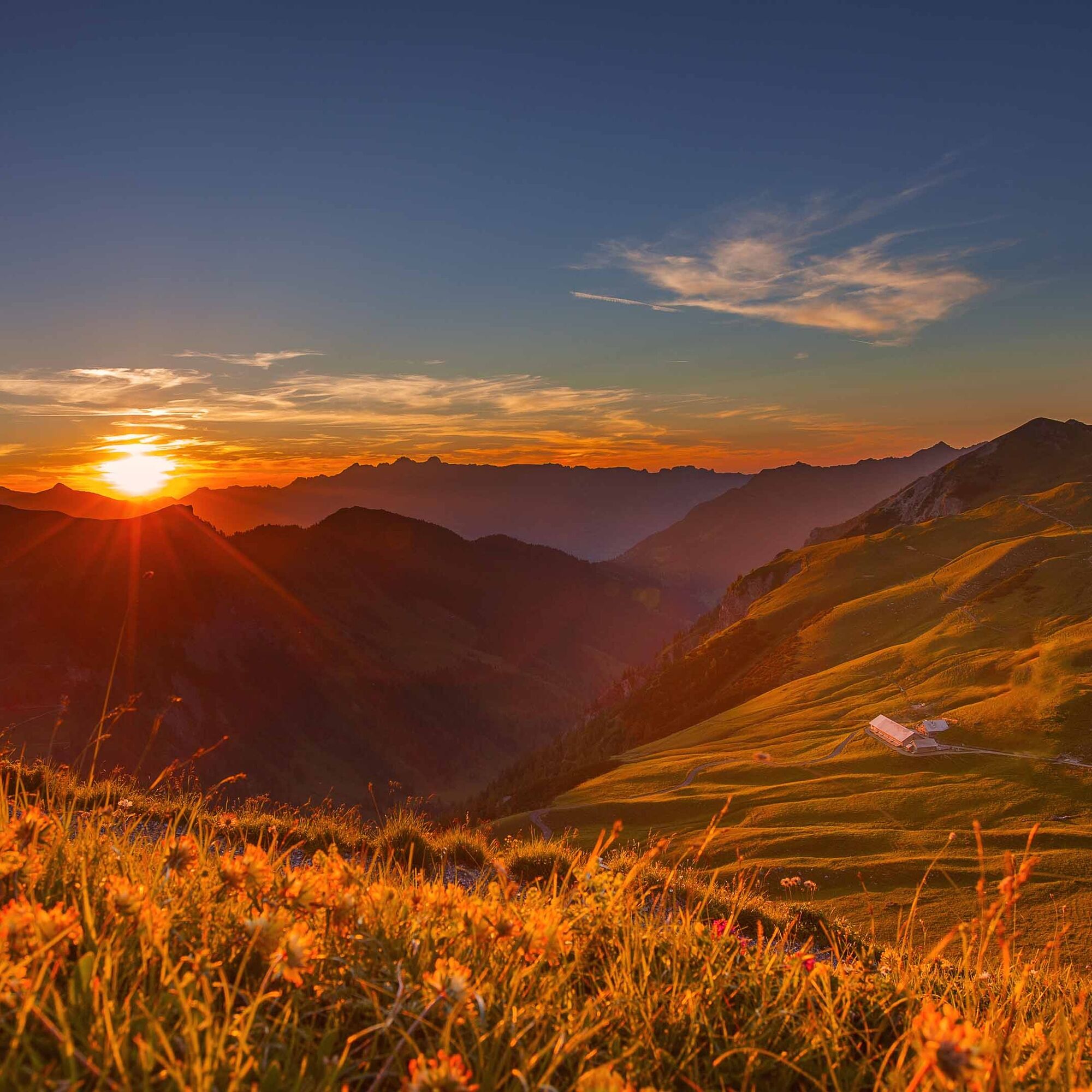
Bilder av brukerne våre
-
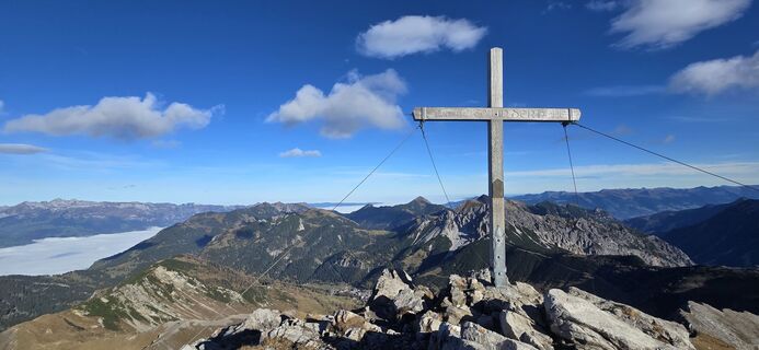
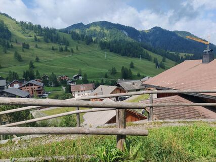
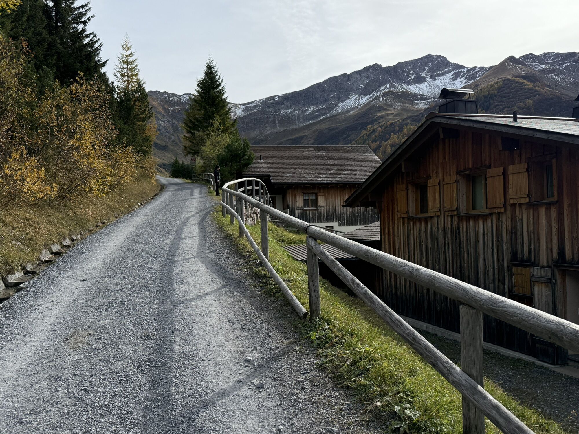
 © Daniel HerzOpprettet den 19.10.2025
 -
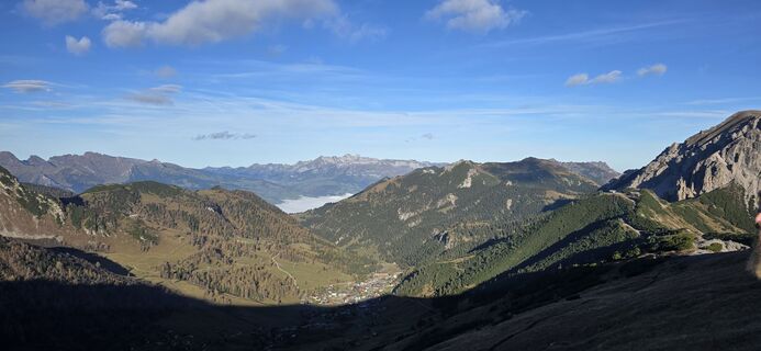
 © Daniel HerzOpprettet den 19.10.2025
 -
 © Daniel HerzOpprettet den 19.10.2025
 -
 © Daniel HerzOpprettet den 19.10.2025
 -
 © Daniel HerzOpprettet den 19.10.2025
 -
 © Daniel HerzOpprettet den 19.10.2025
 -
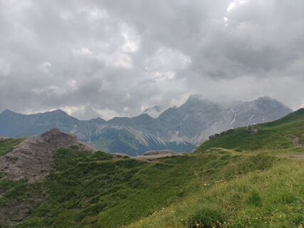
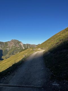
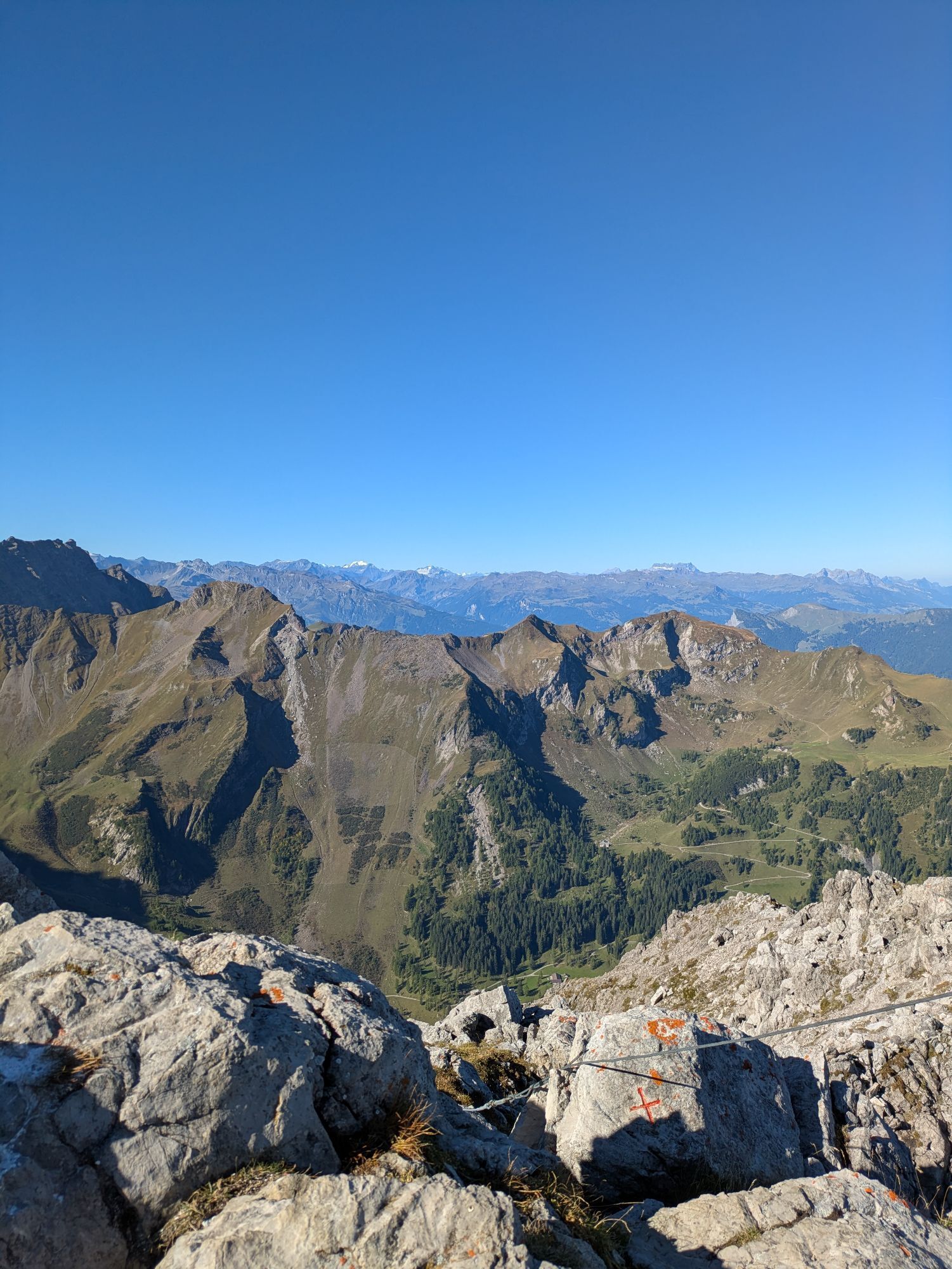
 © Pascal PeterOpprettet den 19.09.2025
 -
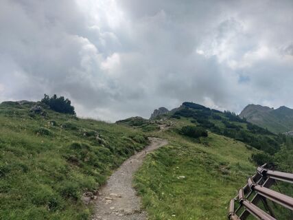
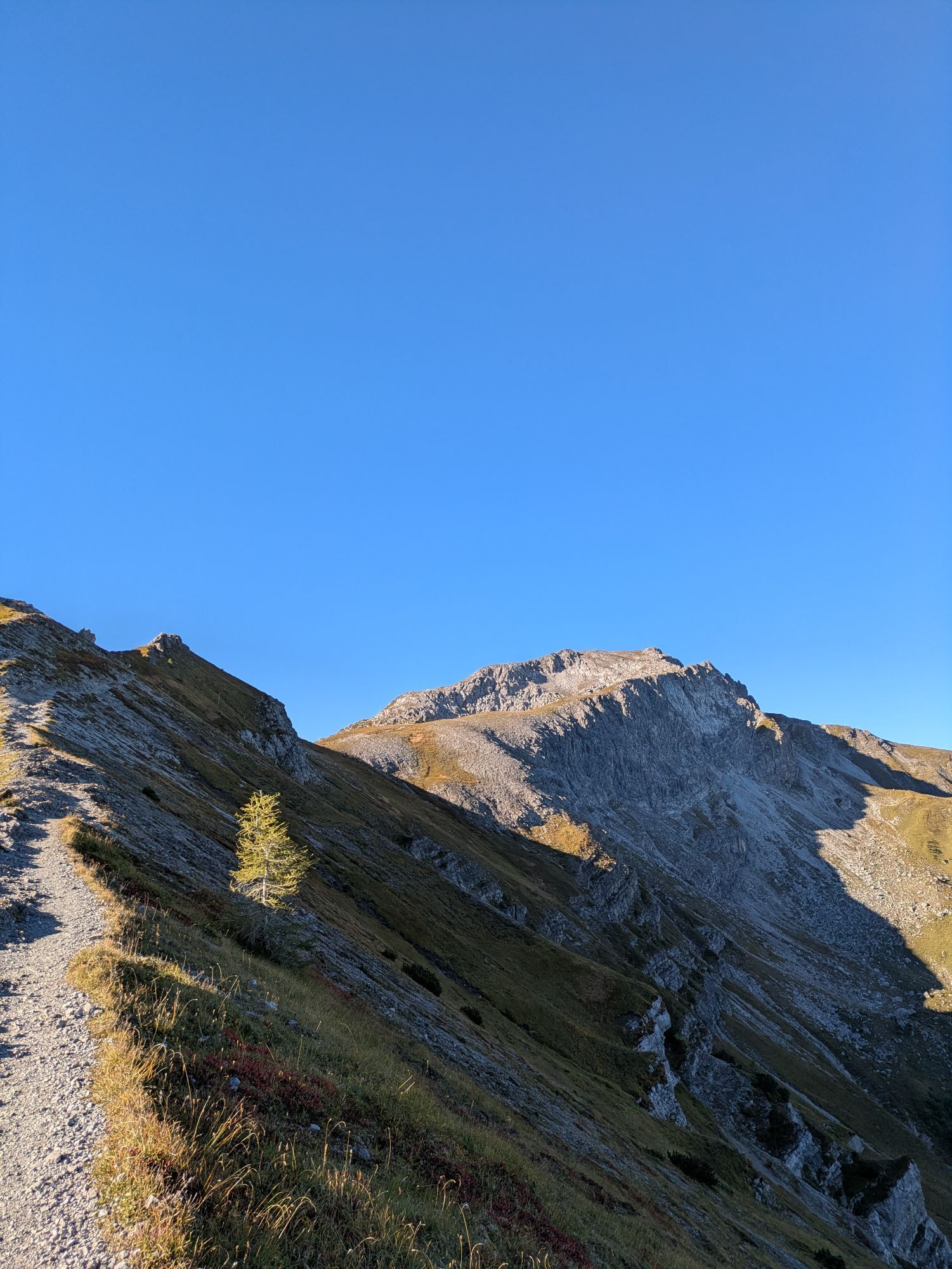
 © Pascal PeterOpprettet den 19.09.2025
 -
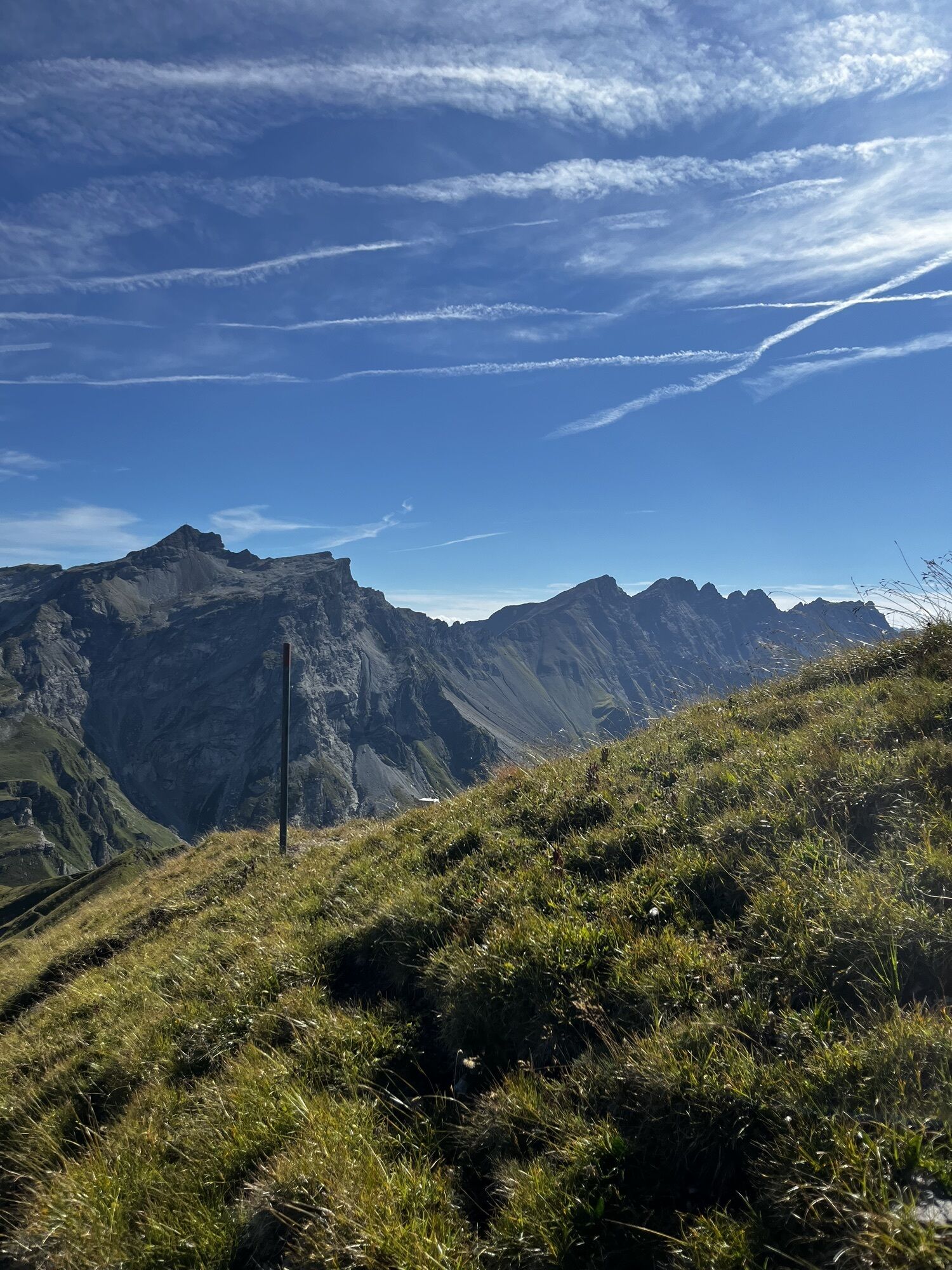
 © Pascal PeterOpprettet den 19.09.2025
 -

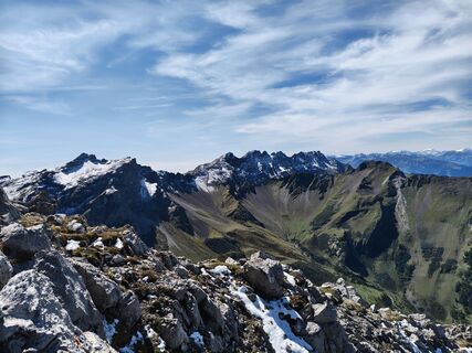
 © Niilo WilkensOpprettet den 25.08.2025
 -
 © Niilo WilkensOpprettet den 25.08.2025
 -
 © Niilo WilkensOpprettet den 25.08.2025
 -
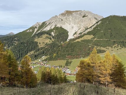
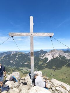
 © yves akeretOpprettet den 26.10.2024
 -
 © yves akeretOpprettet den 26.10.2024
 -
 © yves akeretOpprettet den 26.10.2024
 -
 © yves akeretOpprettet den 26.10.2024
 -
 © yves akeretOpprettet den 26.10.2024
 -

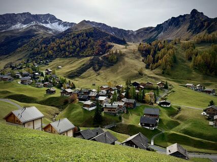
 © Xenia LangeOpprettet den 03.08.2024
 -
 © Xenia LangeOpprettet den 03.08.2024
 -
 © Xenia LangeOpprettet den 03.08.2024
 -
 © Xenia LangeOpprettet den 03.08.2024
 -
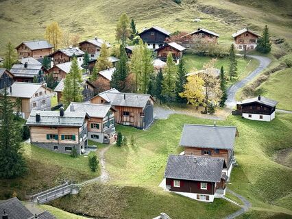
 © Niilo WilkensOpprettet den 26.08.2025
 -
 © Niilo WilkensOpprettet den 26.08.2025
 -
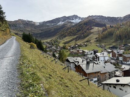
 © Hauke BönigOpprettet den 06.09.2025
 -
 © Hauke BönigOpprettet den 06.09.2025
 -
 © Hauke BönigOpprettet den 06.09.2025


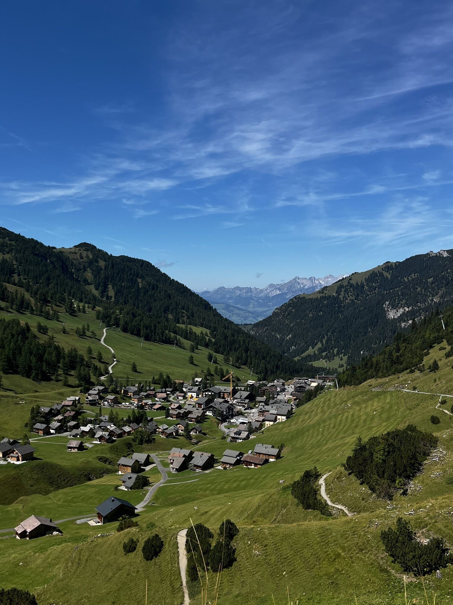


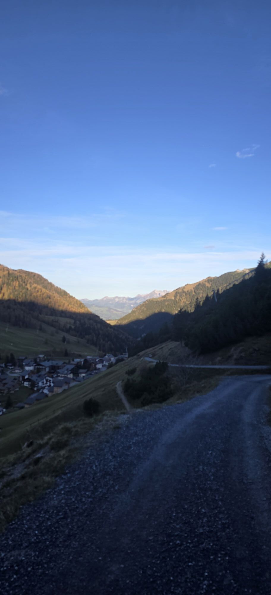
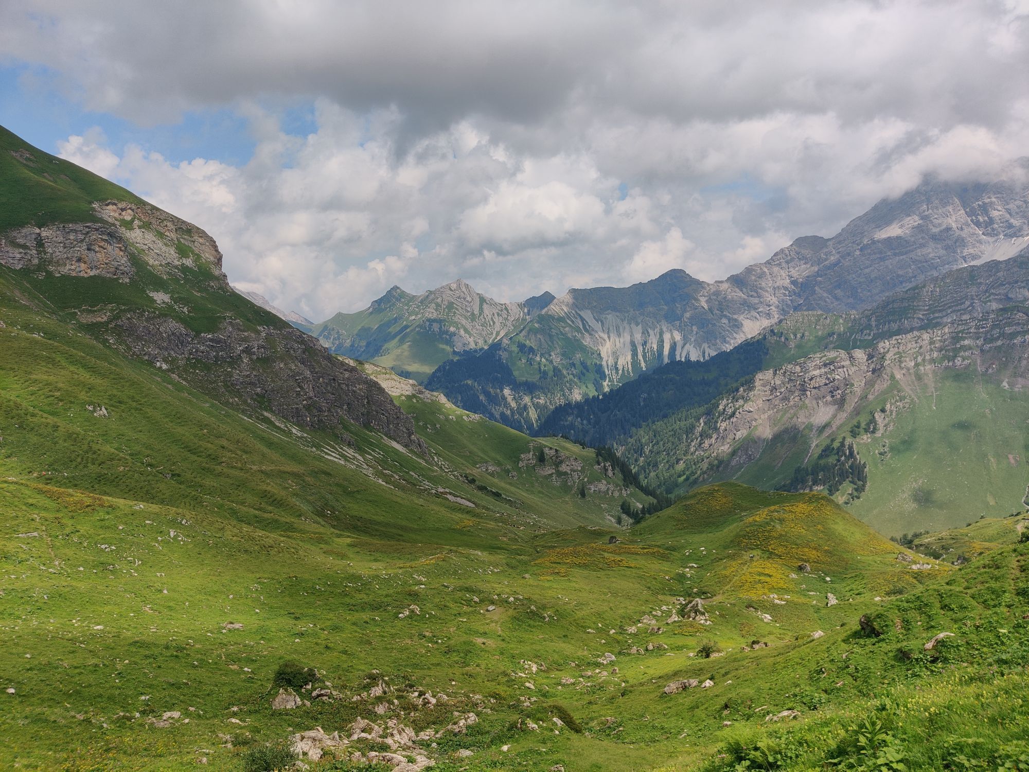
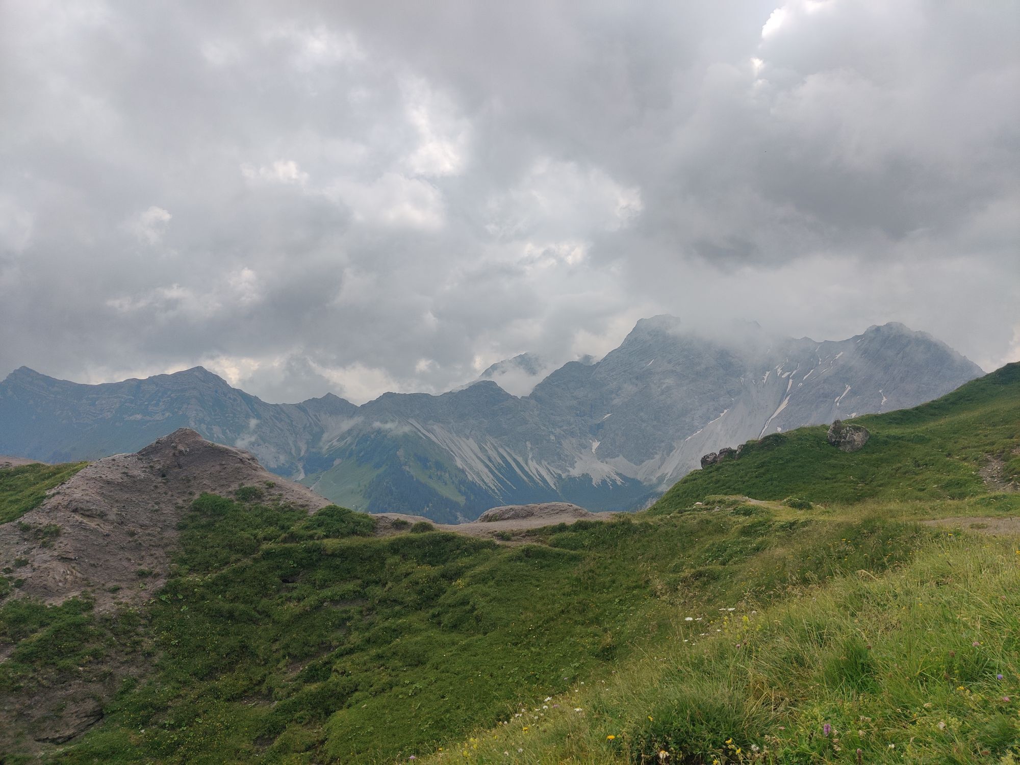
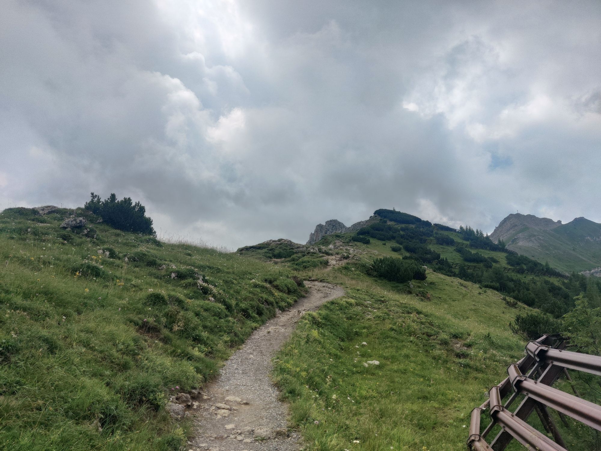


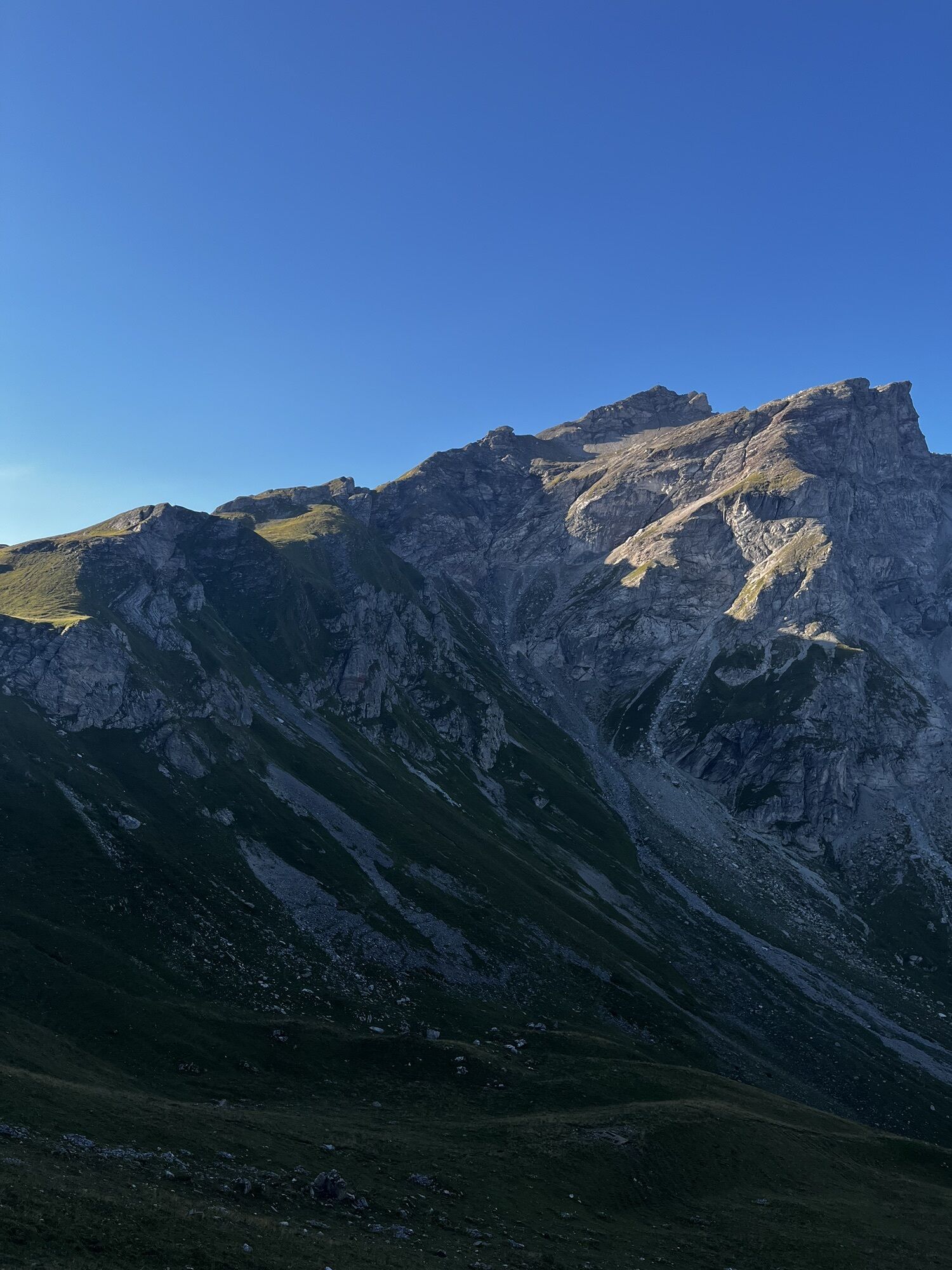
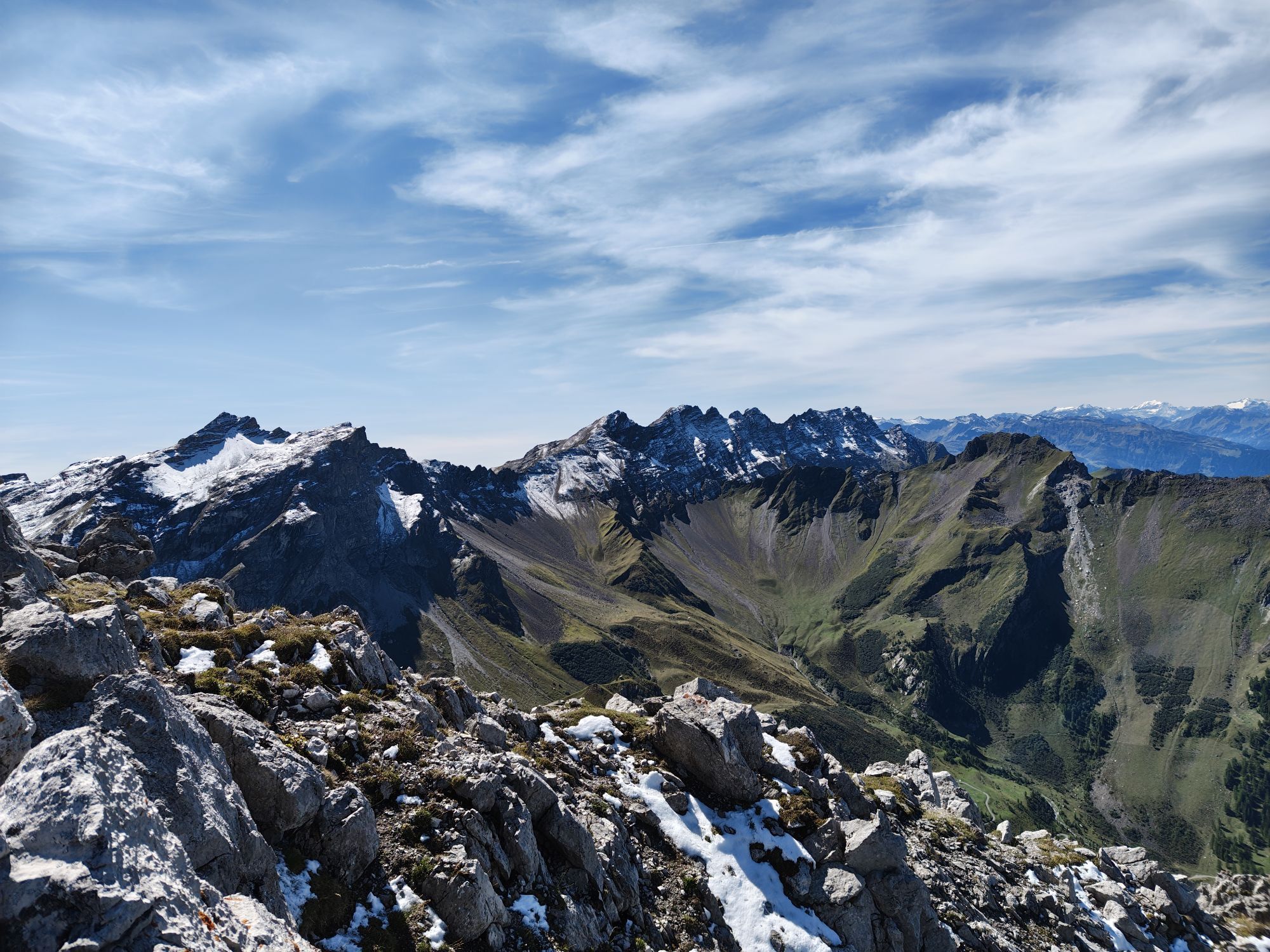


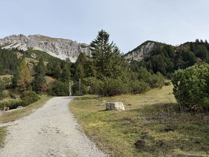
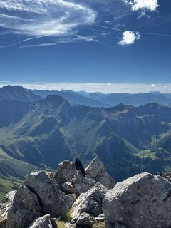
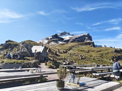
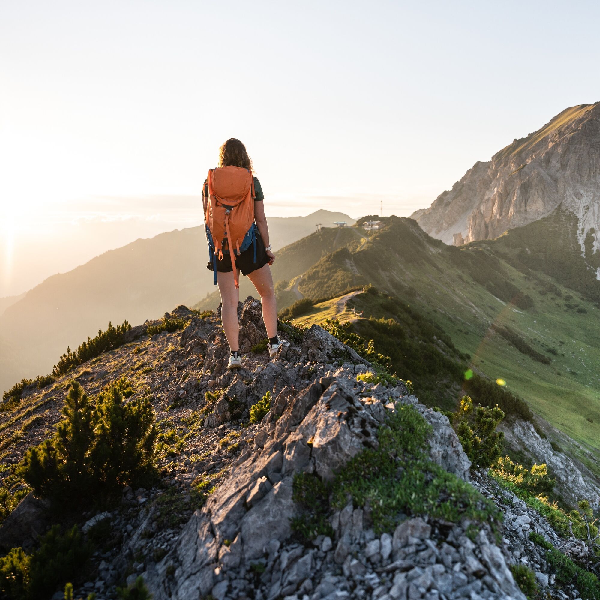
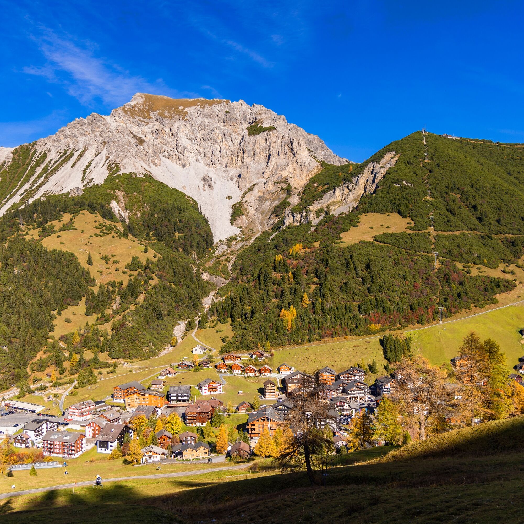
Magnificent circular hike on the Fürstin-Gina-Weg to the Augstenberg and along the flower-covered ridge on a secured mountain path down to the Pfälzerhütte of the Liechtenstein Alpine Club (2108 m) at...
Magnificent circular hike on the Fürstin-Gina-Weg to the Augstenberg and along the flower-covered ridge on a secured mountain path down to the Pfälzerhütte of the Liechtenstein Alpine Club (2108 m) at the foot of the Naafkopf. Return via the wide pasture edges of Alp Gritsch to Tälehöhe and descent via the Vaduzer-Täli to Malbun.
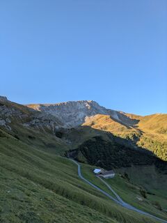
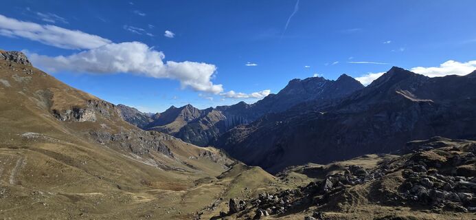
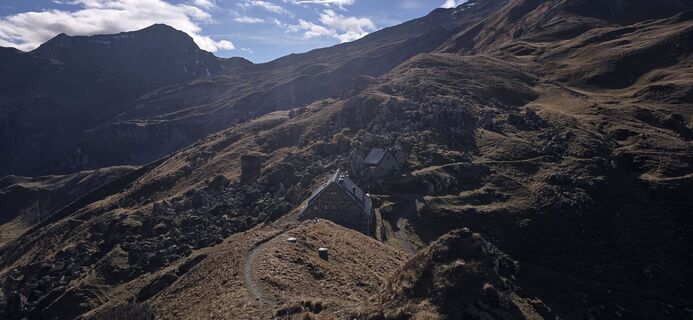
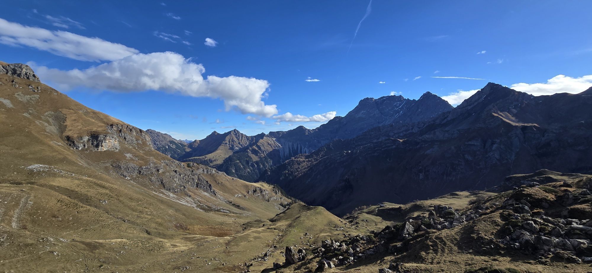
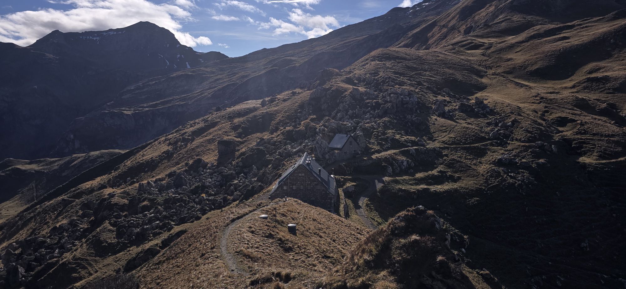
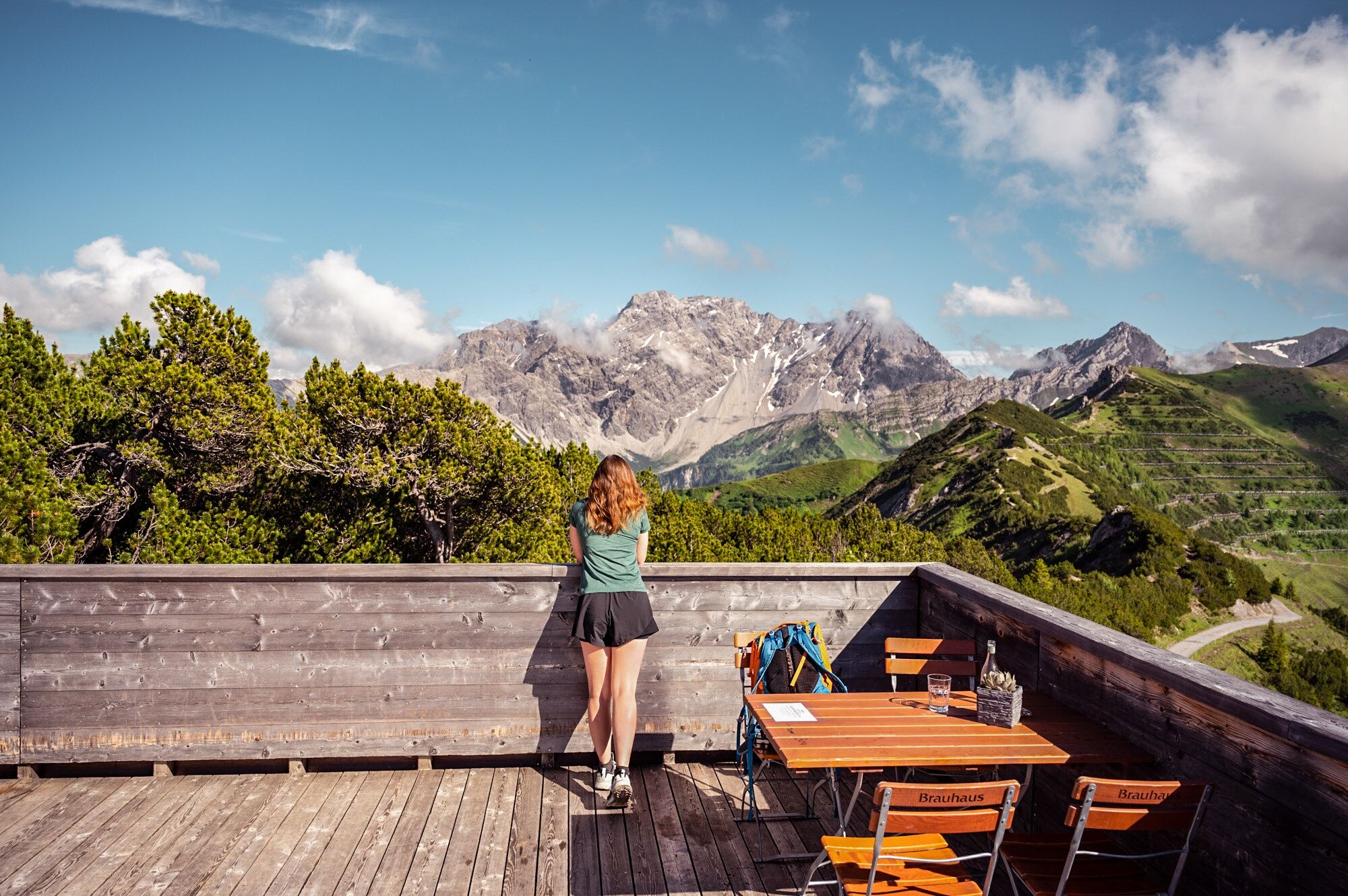
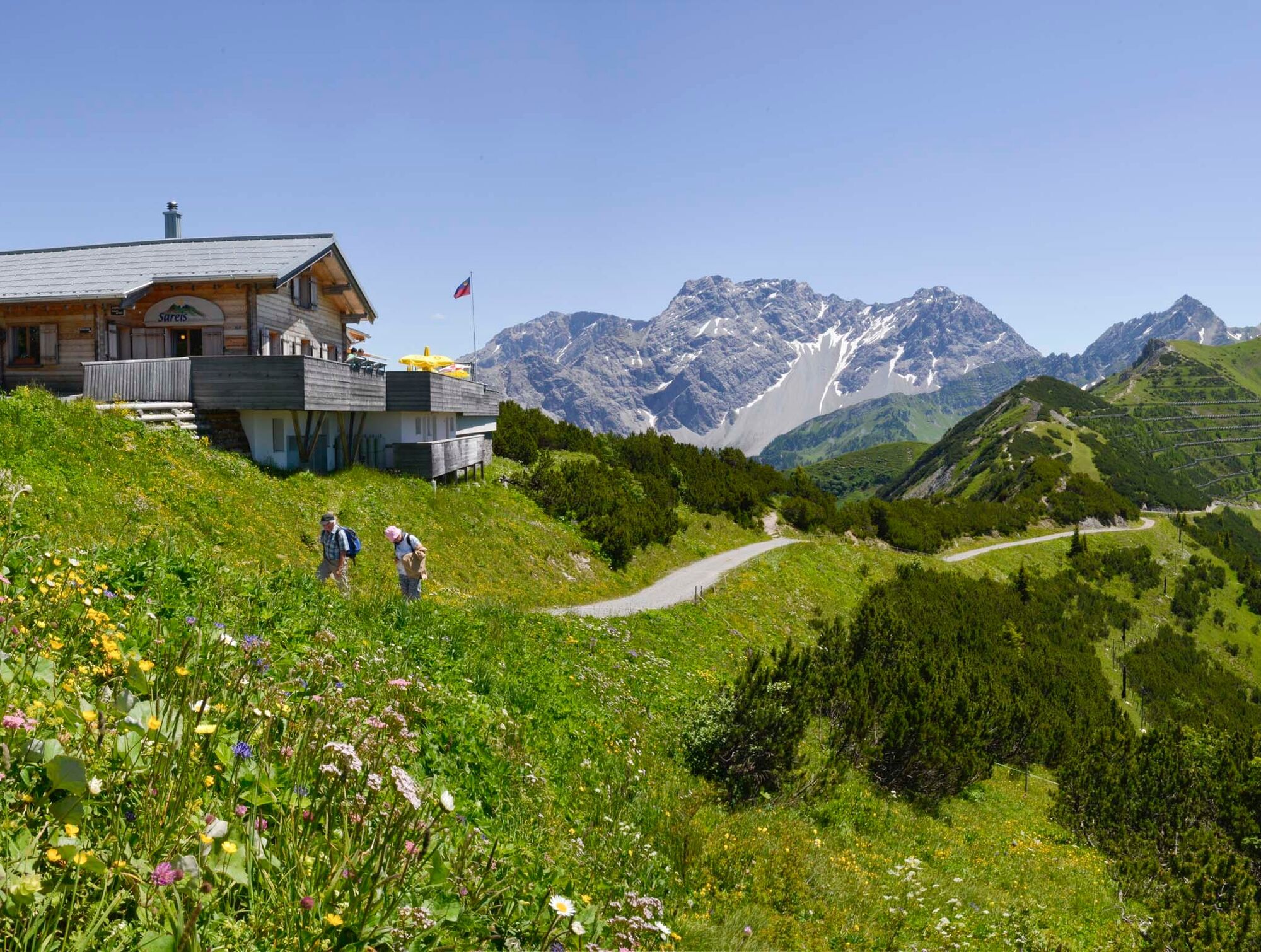
The Pfälzerhütte at the Austrian border is the starting point for hiking the Liechtenstein Trail to the Schesaplana.
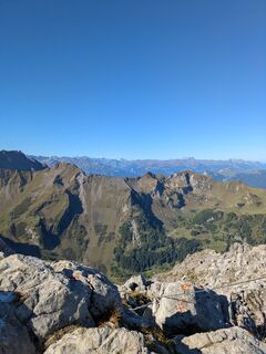
Tip: Worthwhile ascent on the marked mountain path to the Naafkopf (2570 m). Descents from the Pfälzerhütte on marked mountain paths through the Naaf valley or from Gritsch via the Rettaweg to Steg. Marked mountain paths to the Nenzinger Himmel, to the Malanser Älplibahn, or to the Schesaplana hut.
Variants:
A: By chairlift to Sareis and further to the Sareiserjoch (altitude difference: -376 m / duration: -45 min.)
B: From the Pfälzerhütte to the Naafkopf (length: 2 km / altitude difference: 462 m)

Malbun - Sareiserjoch - Fürstin-Gina-Weg - Augstenberg - Pfälzerhütte - Gritsch - Täle Höhe - Malbun
Ja
Ja
To embark on a route, careful planning is required. We recommend consulting local information points in advance about the trails and weather conditions. Depending on the season and weather, this route may be closed or interrupted.
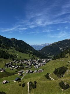
Parking is available at the entrance to the village of Malbun.
Family tip: Overnight stay at the Pfälzerhütte; great sunrise in early summer
Populære turer i nabolaget
-
5,0
Douglasshütte, Lünersee, Gafalljoch Brand bei Bludenz, Vorarlberg
lysVandring 9,16 km -
4,6
To the Alpspitz summit cross
lysVandring 6,27 km -
4,6
Fürstensteig / Drei Schwestern
middelsVandring 12,2 km -
4,8
From Malbun to the Schönberg
middelsVandring 12,4 km -
4,8
Pizalun circular route
lysVandring 7,18 km -
5,0
Durch die Mengschlucht ab Nenzing
lysVandring 7,19 km -
4,6
Wanderung Malbun - Sass-Seeli - Sassförkle - Drei Kapuziner - Schönberg - und Talstation Täli wieder zurück nach Malbun
middelsVandring 10,8 km -
5,0
Schesaplana (15.07.2018)
tungVandring 8,68 km -
3,7
Sassweg - von Malbun zum Sass-Seelein
Vandring 4,14 km -
4,8
BLUDENZ | Lünersee
lysVandring 6,20 km
Vandring og sporing


Ikke gå glipp av tilbud og inspirasjon til din neste ferie
E-postadressen din har blitt lagt til på adresselisten.