


Bilder av brukerne våre
-
 © Daniel HerzOpprettet den 19.10.2025
 -
 © Daniel HerzOpprettet den 19.10.2025
 -
 © Daniel HerzOpprettet den 19.10.2025
 -
 © Daniel HerzOpprettet den 19.10.2025
 -
 © Daniel HerzOpprettet den 19.10.2025
 -
 © Pascal PeterOpprettet den 19.09.2025
 -

 © yves akeretOpprettet den 26.10.2024
 -
 © Stefan FintorOpprettet den 20.07.2025
 -
 © Stefan FintorOpprettet den 20.07.2025


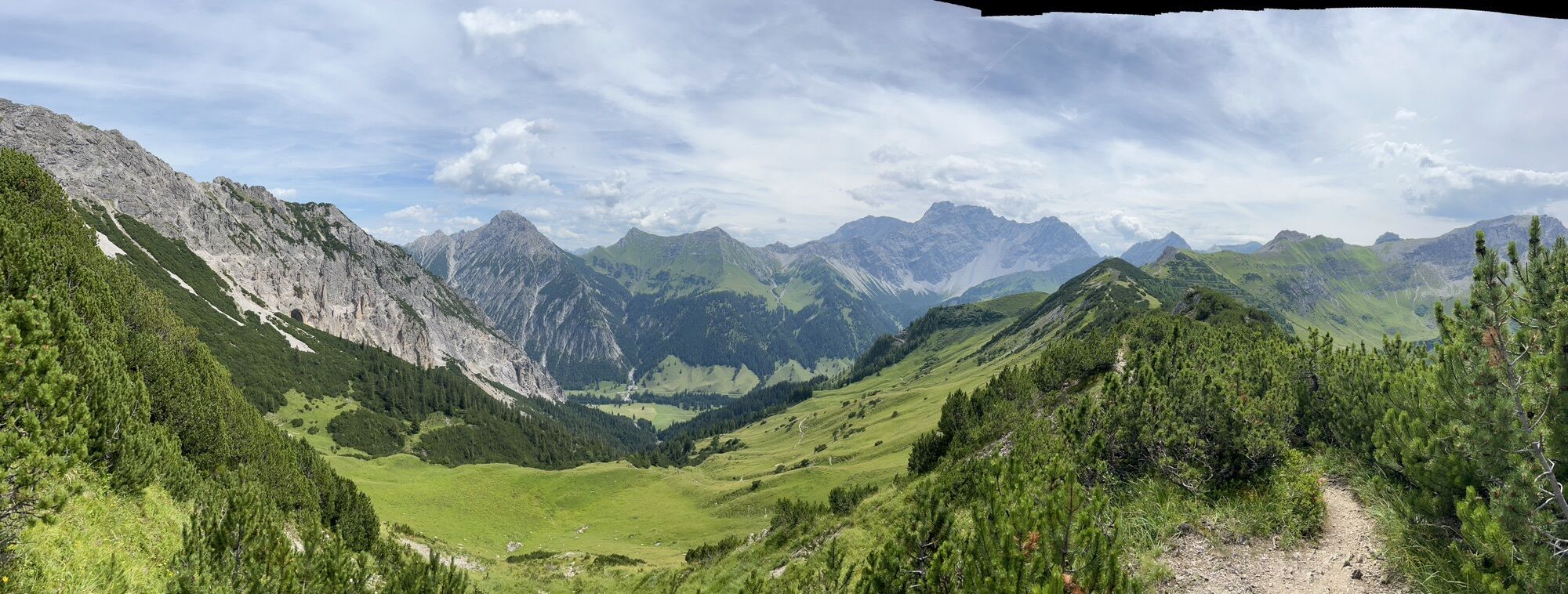
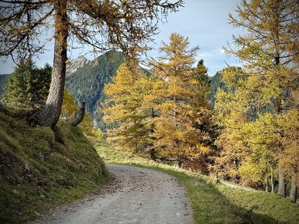
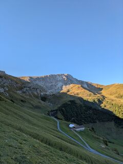
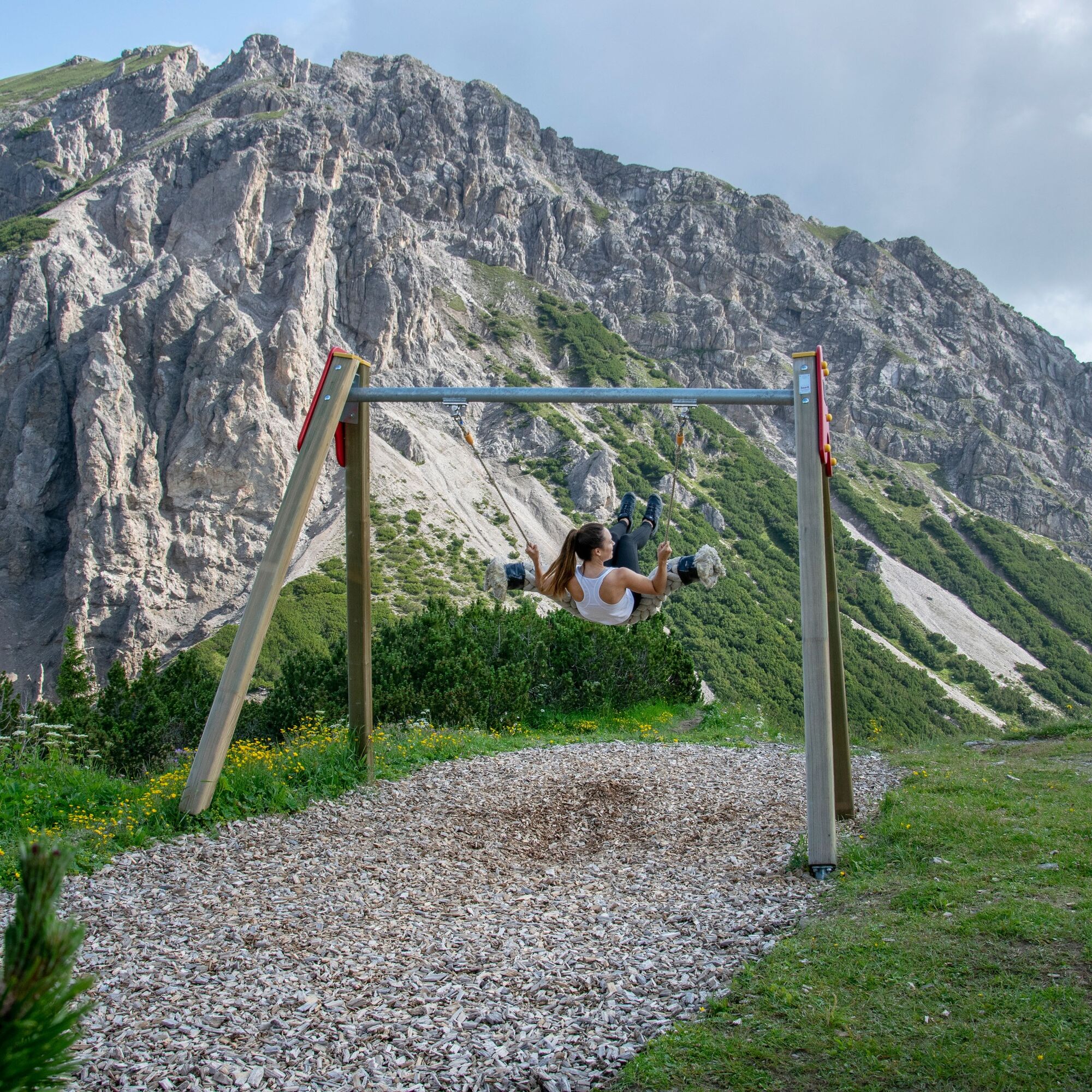
The Sareis chairlift takes you to the starting point at the Sareis mountain station at 2000 meters above sea level. Just above the mountain station, the swing trail begins, as the first of the larger swings...
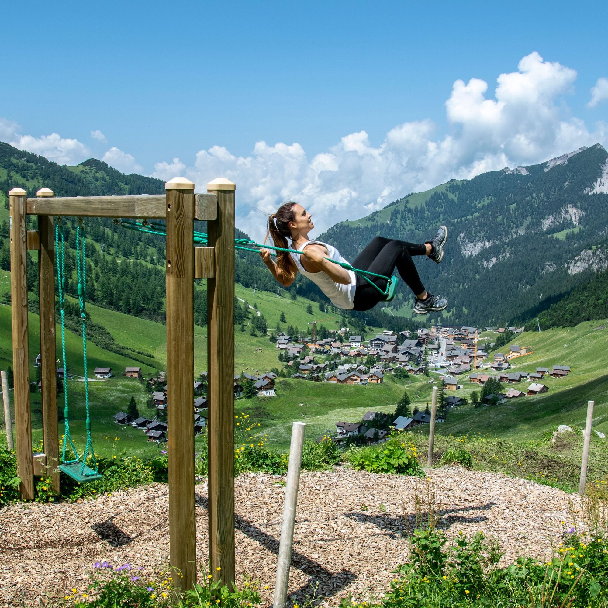
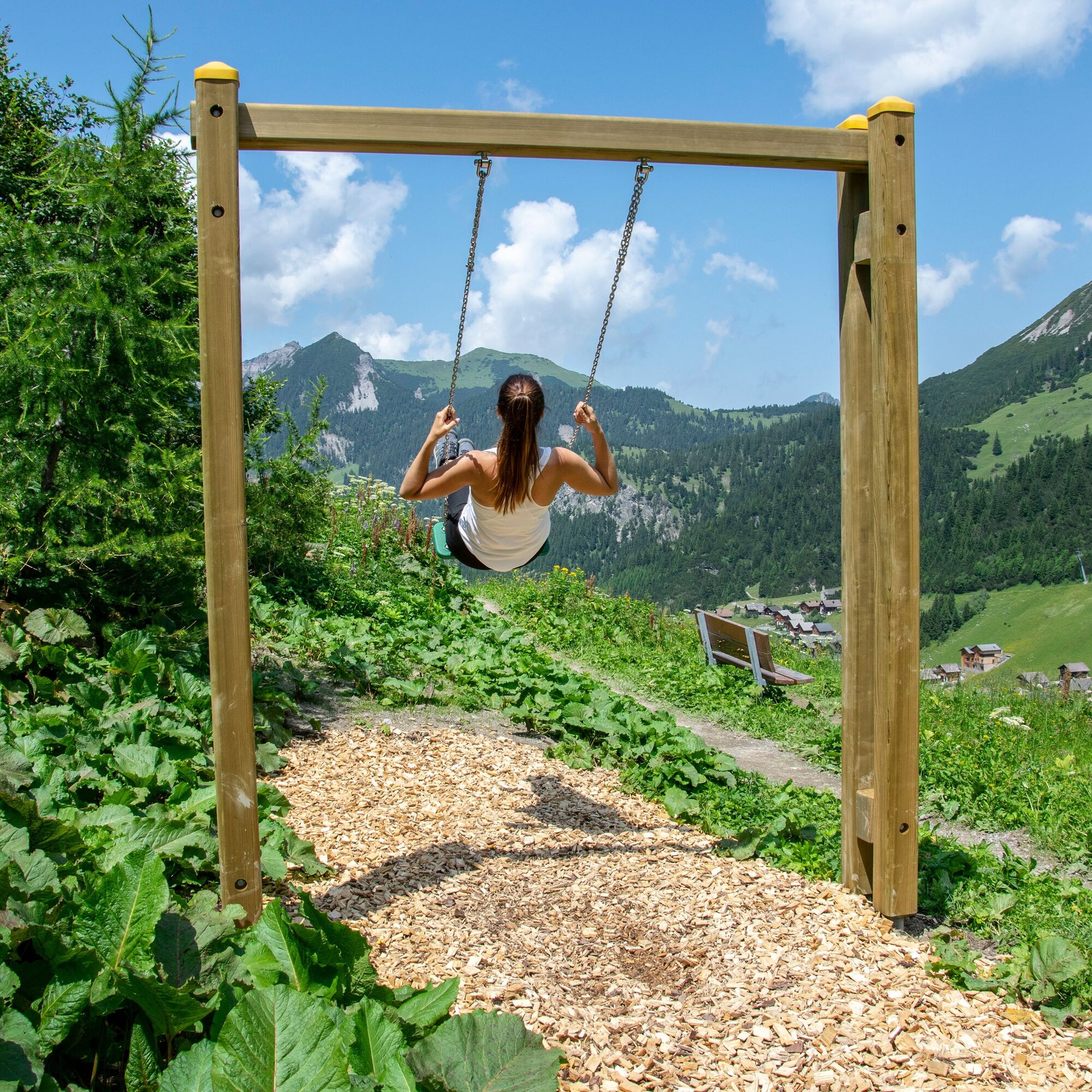
The Sareis chairlift takes you to the starting point at the Sareis mountain station at 2000 meters above sea level. Just above the mountain station, the swing trail begins, as the first of the larger swings is right there. From the Sareis mountain inn, the path leads to the next swing via the natural road to Alpe Turna. In the midst of the Malbun landscape, characterized by its lush green alpine meadows with dreamy mountain flora and the mountain range of the Malbun valley, it first goes down to Turna. Even before reaching the alpine pasture, the next swing awaits, on which you can swing energetically into the air and back again. This is fun not only for children. Adults also enjoy these swings, as it immediately takes you back to childhood.
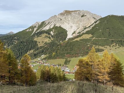
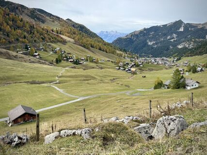
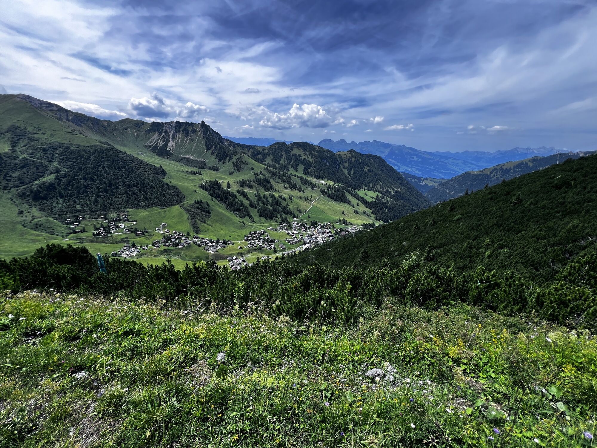
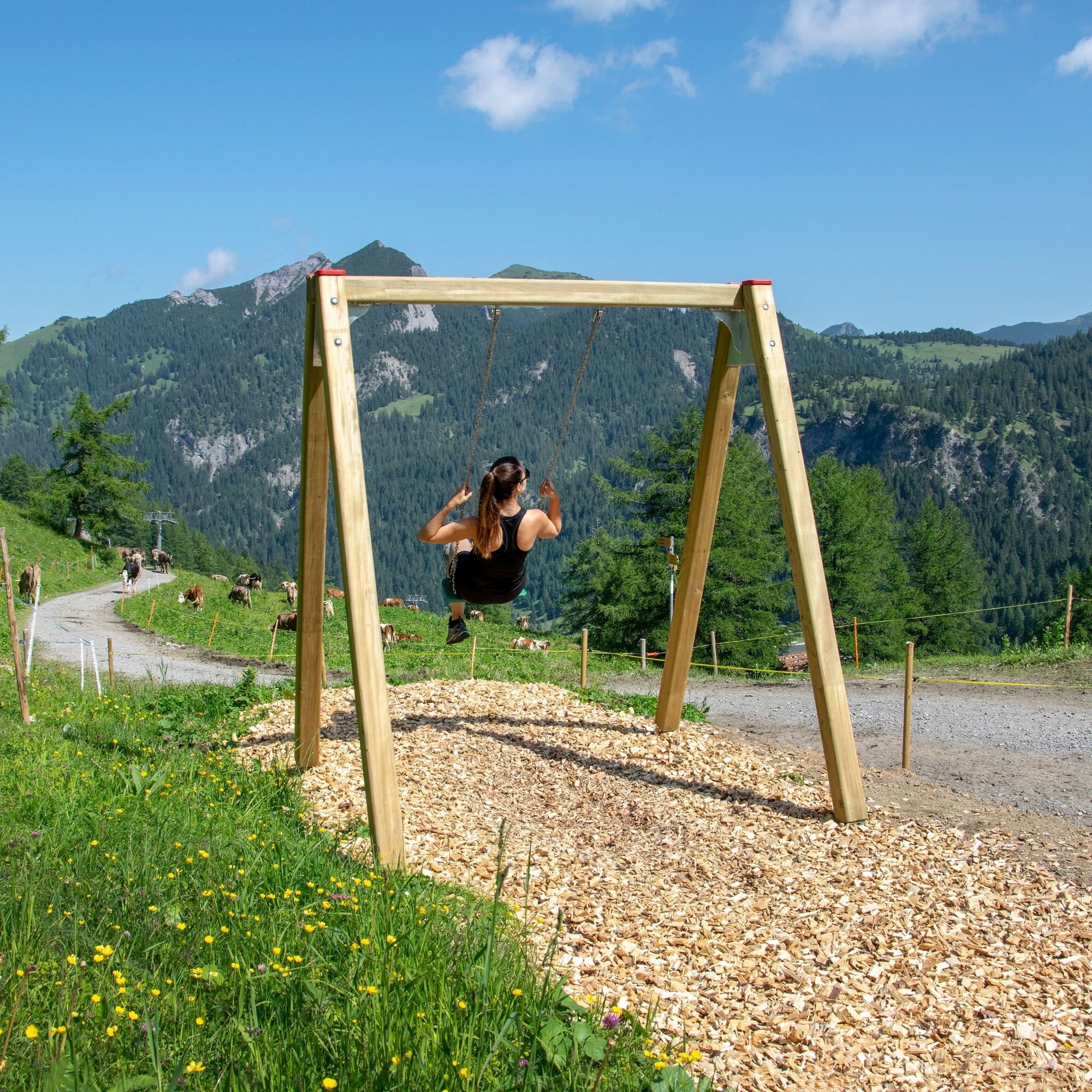
The path comfortably continues through easy terrain downhill, past grazing cows and cattle, then continues over the little bridge over the Malbunbach stream and rises again on the other side of the valley, the territory of the municipality of Vaduz. In leisurely and steadily ascending bends, it goes up to Alp Pradamee. Before reaching Pradamee, a large swing awaits, on which actually three people can swing together, guaranteed to provide fun and a few laughs. From here, the path leads downhill again and brings the hikers back to Malbun, where you can refresh yourself in one of the restaurants. The swing trail combines a leisurely walk with youthful fun and thrills on the swings with different difficulty levels.
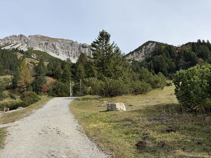
The swing trail follows the route of the Malbun loop of the Liechtenstein path. Therefore, it is recommended to follow the signs to the Liechtenstein path.


Ja
Ja
To undertake a route, careful planning is required. We recommend that you consult local information points beforehand about the trails and weather conditions. Depending on the season and weather conditions, this route may be closed or interrupted.
Exit A13 Vaduz, then towards Triesenberg to Malbun.
Bus line 21 (Triesenberg - Malbun center) runs from Vaduz Post to Malbun center
Parking is available at the entrance to Malbun.
Recommended from June - October
Freely accessible
To comfortably reach the mountain restaurant Sareis, it is recommended to take the Sareis chairlift. The mountain restaurant Sareis can also be reached on foot in about an hour from Malbun, with 400 meters of elevation to overcome.
Populære turer i nabolaget
-
4,9
Bürs, Bürserschlucht Bürs, Vorarlberg
middelsVandring 5,31 km -
5,0
Douglasshütte, Lünersee, Gafalljoch Brand bei Bludenz, Vorarlberg
lysVandring 9,16 km -
4,6
To the Alpspitz summit cross
lysVandring 6,27 km -
4,6
Fürstensteig / Drei Schwestern
middelsVandring 12,2 km -
4,5
Fürstin-Gina-Weg
middelsVandring 12,0 km -
4,8
From Malbun to the Schönberg
middelsVandring 12,4 km -
5,0
Durch die Mengschlucht ab Nenzing
lysVandring 7,19 km -
4,6
Wanderung Malbun - Sass-Seeli - Sassförkle - Drei Kapuziner - Schönberg - und Talstation Täli wieder zurück nach Malbun
middelsVandring 10,8 km -
3,7
Sassweg - von Malbun zum Sass-Seelein
Vandring 4,14 km -
5,0
Schesaplana (15.07.2018)
tungVandring 8,68 km
Vandring og sporing


Ikke gå glipp av tilbud og inspirasjon til din neste ferie
E-postadressen din har blitt lagt til på adresselisten.