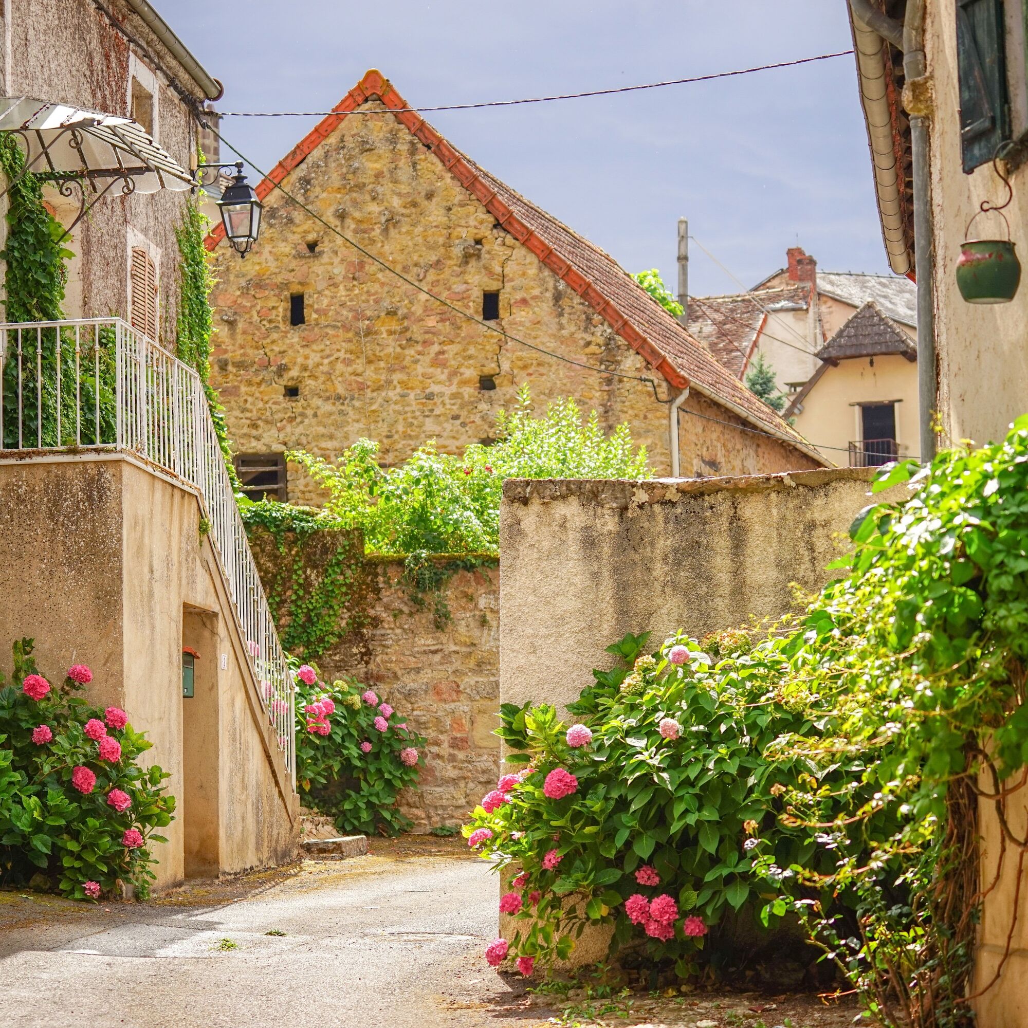
Les Hameaux
middels
Navigere
Navigere
Få denne turen på mobiltelefonen din
Les Hameaux
middels
Vandring
17,44
km
Skann QR-koden og start navigasjonen i bergfex -appen

Vandring og sporing


Avstand
17,44
km
Varighet
04:37
h
Oppstigning
361
hm
Havnivå
250 -
450
m
Nedlasting av spor
Les Hameaux
middels
Vandring
17,44
km


- Turn left for 300 m onto the D978 (towards Chalon). Turn left (la Creuse). After 10 m, turn right up the steps and follow the path along the stream.- At the tarmac road turn left, then straight on as...
Beskrivelse av
- Turn left for 300 m onto the D978 (towards Chalon). Turn left (la Creuse). After 10 m, turn right up the steps and follow the path along the stream.
- At the tarmac road turn left, then straight on as far as La Creuse and turn left to join the road.
- After 500 m, turn right at the crossroads (Chalencey).
- After 300 m, turn right and join the D978 at the Croix Rouge. Take the left-hand path for 1.2 km, then turn right to cross the D978 and take the C7 "Les Hayards" road opposite.
- Follow the road for 250m, then turn right and follow the track for 900m. When you reach a road, turn left and follow it for 450m to the stream.
- Follow the path for 100 m and turn left. Follow the track for 1 km and turn right after the well.
- When you reach the road, turn right for 10 m and take the left-hand path.
- After 100 m, where you will have a view of the Château de Couches, turn left (Eguilly 1.7 km).
- After 500 m, reach "Chalencey", follow the track to the right and when you arrive opposite the wash-house turn right and then immediately left.
- Follow the main road for 700 m to "Origny". At the washhouse, turn right and follow the road to "Eguilly". At the stop sign, turn left and drive 200 m along the D1, then take the right-hand track for 1 km. When you reach the road, turn right and then left after 100 m.
- Go through "Combereau" and at the end of the tarmac track turn right (Montorge 700 m).
- When you reach the road, turn left onto "Montorge" and follow it for 750 m, then take the left-hand track for 500 m, then turn right at the junction.
- When you reach the road turn left, continue for 100 m and take the road on the right for 1 km (HT bend line) then take the track on the left.
- After 1 km, join the D978, cross it and take the track opposite. After the bridge, turn right, follow the main road for 500 m and at the road turn left then right. Drive 300 m downhill towards the bridge and turn left into rue Goujon. At the end of the road, turn immediately right. Take the steep path up towards the church and turn left at the D978.
- Return to the start.
Rute
Couches
(323 m)
Landsby
0,0 km
Sur les Moulins
(289 m)
Oppgjør
0,8 km
Les Battées
(268 m)
Oppgjør
3,9 km
Origny
(387 m)
Oppgjør
8,4 km
Courtaillards
(393 m)
Oppgjør
10,9 km
Église Saint-Martin
(331 m)
Sted for tilbedelse
17,2 km
Couches
(323 m)
Landsby
17,4 km
Rute
Les Hameaux
middels
Vandring
17,44
km
A l'heure des Saveurs
(323 m)
Restaurant
0,0 km
Couches
(323 m)
Landsby
0,0 km
Restaurant de la Tour Bajole
(324 m)
Restaurant
0,0 km
Hôtel-Restaurant des Trois Maures
(324 m)
Restaurant
0,1 km
Sur les Moulins
(289 m)
Oppgjør
0,8 km
La Creuse
(252 m)
Oppgjør
1,8 km
La Croix Rouge
(305 m)
Oppgjør
2,5 km
Les Battées
(268 m)
Oppgjør
3,9 km
Les Hayards
(263 m)
Oppgjør
4,2 km
Chalencey
(359 m)
Oppgjør
7,7 km
Origny
(387 m)
Oppgjør
8,4 km
Éguilly
(412 m)
Oppgjør
8,8 km
Combereau
(372 m)
Oppgjør
10,6 km
Courtaillards
(393 m)
Oppgjør
10,9 km
Montorge
(436 m)
Oppgjør
11,7 km
Varenne
(357 m)
Oppgjør
15,2 km
Les Gobillots
(356 m)
Oppgjør
16,1 km
Pont de Vigny
(340 m)
Oppgjør
16,7 km
Église Saint-Martin
(331 m)
Sted for tilbedelse
17,2 km
Restaurant de la Tour Bajole
(324 m)
Restaurant
17,4 km
A l'heure des Saveurs
(323 m)
Restaurant
17,4 km
Couches
(323 m)
Landsby
17,4 km
Forfatter
Turen Les Hameaux leveres av outdooractive.com.
Sikkerhetsinstruksjoner
En cas d'urgence, composez le 112
Informasjon om ankomst
Ankomst
Pensez au covoiturage
Parkering
Parking à proximité du point de départ
Ytterligere informasjon og tips
Ytterligere informasjon
AUTUN │ OT du Grand Autunois Morvan | Cat.II http://www.autun-tourisme.com
Ingen anmeldelser ennå
Populære turer i nabolaget
-
CycloRoute71 - Etape 6 de Chagny à Autun
middelsSykling 56,2 km -
La boucle des parcs
middelsVandring 11,8 km -
Espace naturel du Pont du Roi
lysVandring 0,82 km -
Au coeur de la Guye
middelsRidning 13,6 km -
Santenay to Beaurepaire
middelsVandring 4,63 km -
Jambles : d'un versant à l'autre
middelsVandring 12,7 km -
5,0
Rully le Mont Palais
middelsVandring 8,07 km -
Autour du Montabon
middelsVandring 9,72 km -
La Voie Verte, du Morvan aux vignobles
lysSykling 72,9 km -
La boucle des parcs
middelsVandring 11,8 km
Vandring og sporing

Over 550.000 turforslag, detaljerte kart og en intuitiv ruteplanlegger gjør appen til et must for alle naturentusiaster.

Ikke gå glipp av tilbud og inspirasjon til din neste ferie
Abonner på nyhetsbrevet
Feil
Det har oppstått en feil. Vennligst prøv på nytt.
Takk for din registrering
E-postadressen din har blitt lagt til på adresselisten.
Turer i hele Europa
Østerrike
Sveits
Tyskland
Italia
Slovenië
Frankreich
Nederland
Belgium
Polen
Liechtenstein
Tsjekkia
Slovakia
Spania
Kroatia
Bosnia-Hercegovina
Luxembourg
Andorra
Portugal
Island
Storbritannia
Irland
Hellas
Albania
Nord-Makedonia
Malta
Norge
Montenegro
Moldova
Kosovo
Ungarn
San Marino
Romania
Estland
Latvia
Hviterussland
Kypros
Litauen
Serbia
Bulgaria
Monaco
Danmark
Sverige
Finland