


Vanskelighetsgrad: 2


Bilder av brukerne våre
-
 © TurbinioOpprettet den 15.07.2025
 -
 © TurbinioOpprettet den 15.07.2025
 -
 © TurbinioOpprettet den 15.07.2025
 -
 © TurbinioOpprettet den 15.07.2025
 -
 © TurbinioOpprettet den 15.07.2025
 -
 © TurbinioOpprettet den 15.07.2025
 -
 © TurbinioOpprettet den 15.07.2025
 -

 © Lars KleinOpprettet den 26.04.2025
 -
 © Lars KleinOpprettet den 26.04.2025
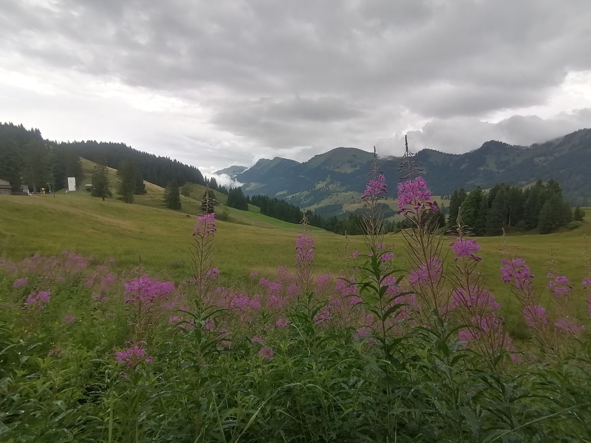


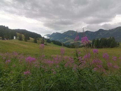
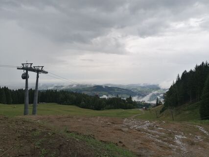
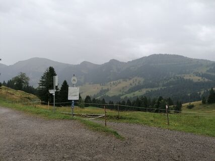
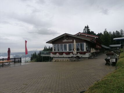
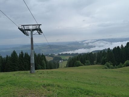
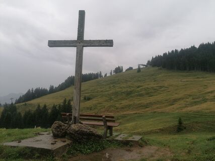
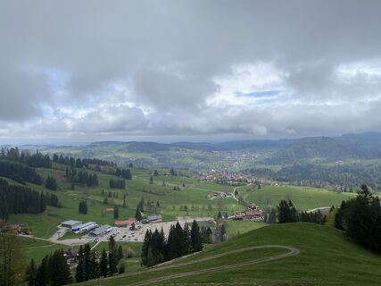
It starts at the valley station of the Imbergbahn. Initially on a paved road to the center of Steibis and further towards Schindelberg. From the Birkenhof Hotel, we take the hiking trail on the left side...
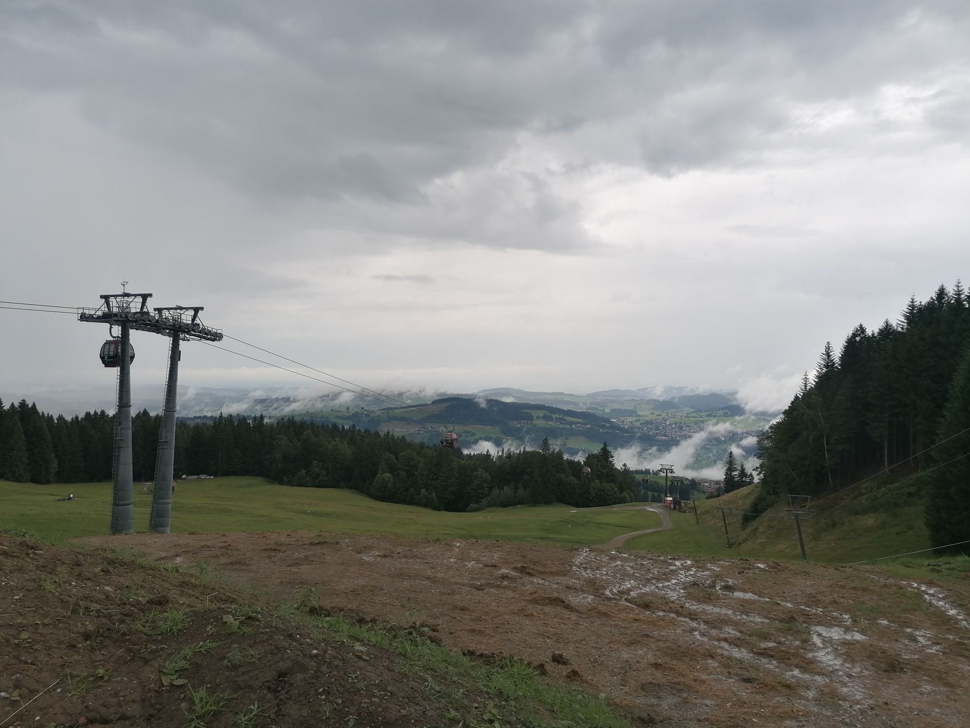
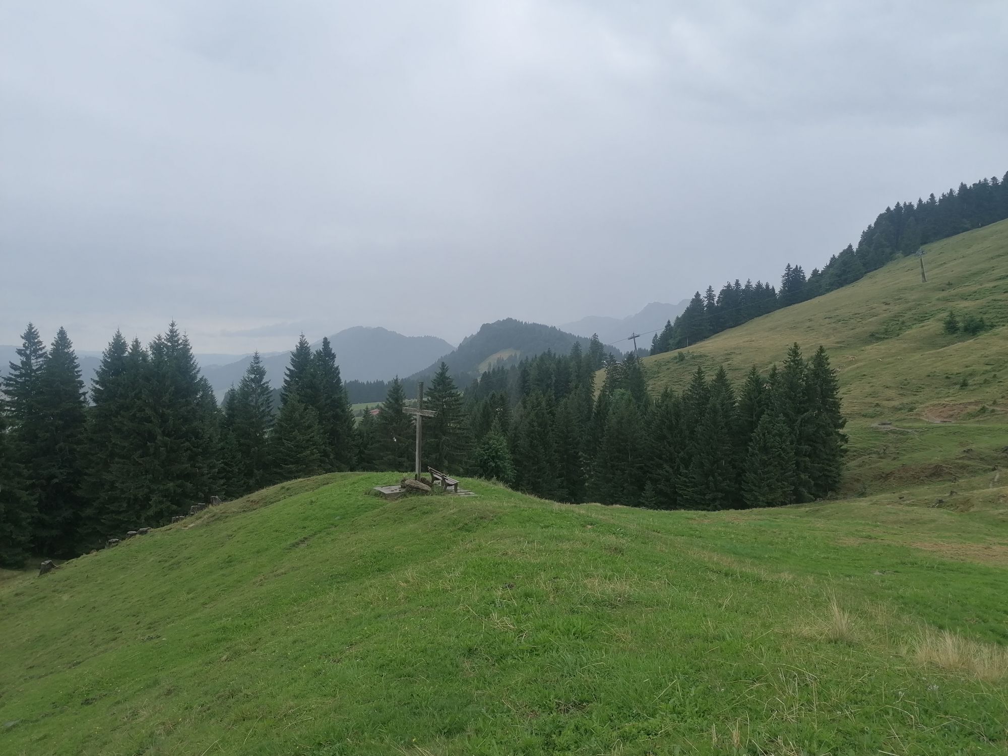
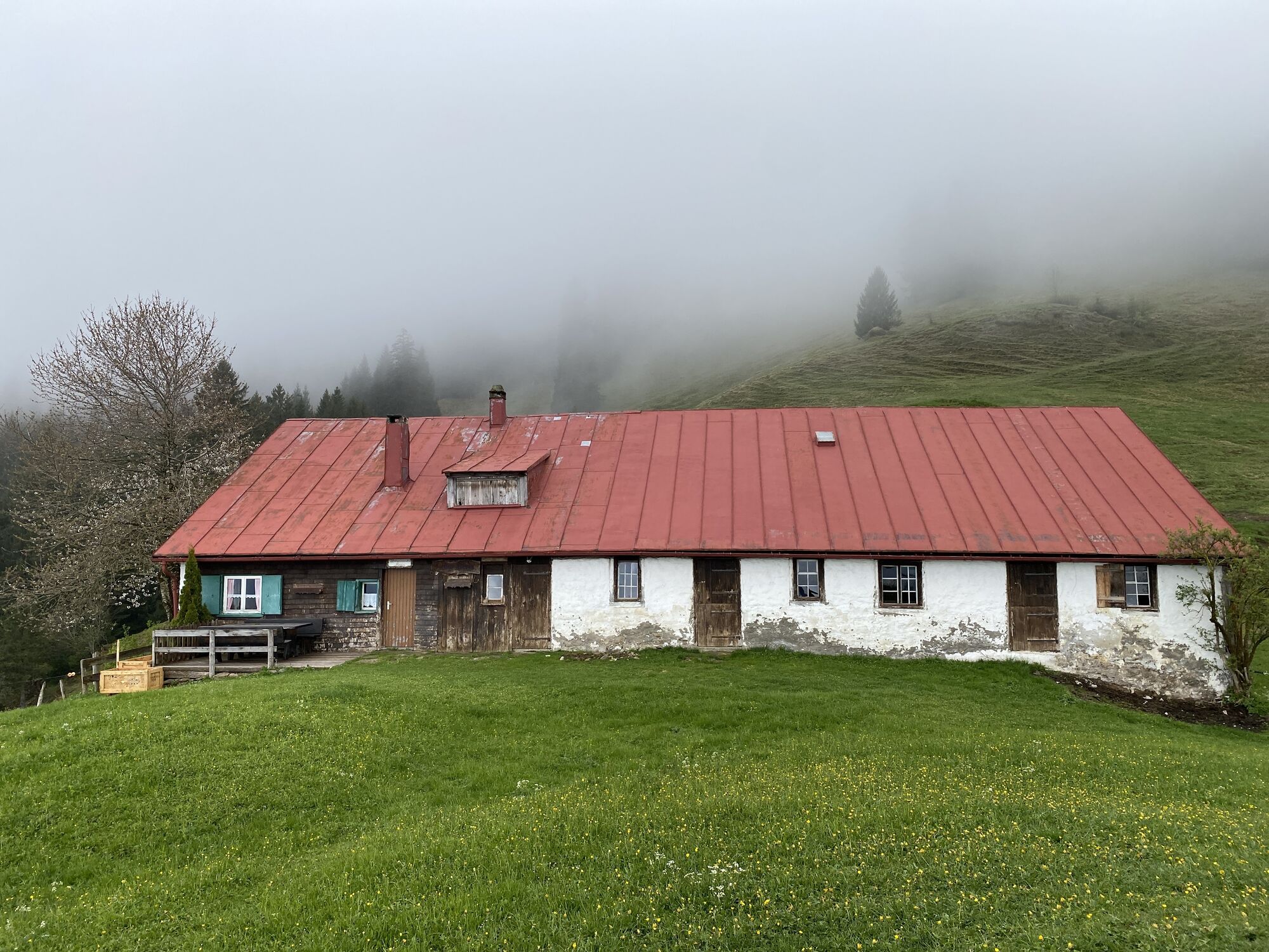
It starts at the valley station of the Imbergbahn. Initially on a paved road to the center of Steibis and further towards Schindelberg. From the Birkenhof Hotel, we take the hiking trail on the left side of the road to there. Follow the road uphill for a while, then turn onto the gravel path leading towards Bärenloch Alp. At a crossroads, the Imbergrunde separates from the Schindelbergrunde. Our path turns right across meadows to the road towards Hagspiel. From here, it goes over meadow paths, partly steeply uphill to the Vordere Fluh mountain inn. Then it continues along a traverse to the mountain station of the Imbergbahn. Those who wish can take it down to the valley. Everyone else takes the path below the railway back to the valley station.

Imbergbahn valley station - Steibis village - Schindelberg - Bärenloch Alp - Hagspiel - Vordere Fluh mountain inn - Imbergbahn mountain station - Imbergbahn valley station
From Oberstaufen to Steibis and onward to the Imbergbahn valley station.
Parking spaces at the Imbergbahn
2
Populære turer i nabolaget
-
4,5
Rindalphorn und Hochgrat
middelsVandring 15,6 km -
4,5
Hittisau | Wasserwanderweg
lysTemaløype 7 km -
4,9
Hittisau | Über Brücken und durch die Schlucht
lysVandring 7,12 km -
4,0
Hochgrat
tungVandring 12,2 km -
5,0
Hochgrat round via the Brunnenau
tungVandring 12,2 km -
5,0
Winterstaude
middelsVandring 9,30 km -
4,0
Nagelfluh-Überschreitung
tungVandring 22,7 km -
4,7
Hittisau Wasserwanderweg (die richtige Reihenfolge)
lysVandring 7,06 km -
4,6
Steibis - Buchenegger Waterfalls
middelsVandring 6,47 km -
Hochgrat
middelsVandring 15,0 km

Vandring og sporing


Ikke gå glipp av tilbud og inspirasjon til din neste ferie
E-postadressen din har blitt lagt til på adresselisten.