


Bilder av brukerne våre
-
 © Tim eckhardtOpprettet den 12.05.2024
 -
 © Tim eckhardtOpprettet den 12.05.2024
 -
 © Tim eckhardtOpprettet den 12.05.2024
 -
 © Tim eckhardtOpprettet den 12.05.2024
 -
 © Tim eckhardtOpprettet den 12.05.2024
 -
 © Tim eckhardtOpprettet den 12.05.2024
 -
 © Tim eckhardtOpprettet den 12.05.2024
 -
 © Gunnar LuebckeOpprettet den 28.05.2023
 -
 © Gunnar LuebckeOpprettet den 28.05.2023
 -
 © Gunnar LuebckeOpprettet den 28.05.2023
 -
 © Gunnar LuebckeOpprettet den 28.05.2023
 -
 © Gunnar LuebckeOpprettet den 28.05.2023
 -
 © Gunnar LuebckeOpprettet den 28.05.2023
 -
 © Gunnar LuebckeOpprettet den 28.05.2023
 -
 © Gunnar LuebckeOpprettet den 28.05.2023
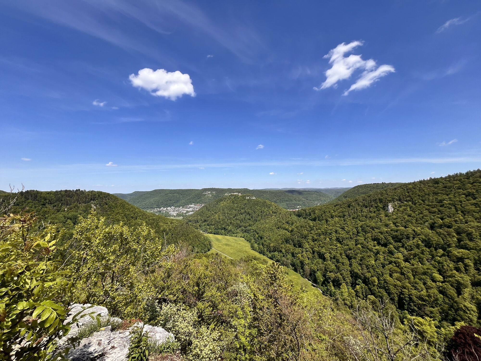


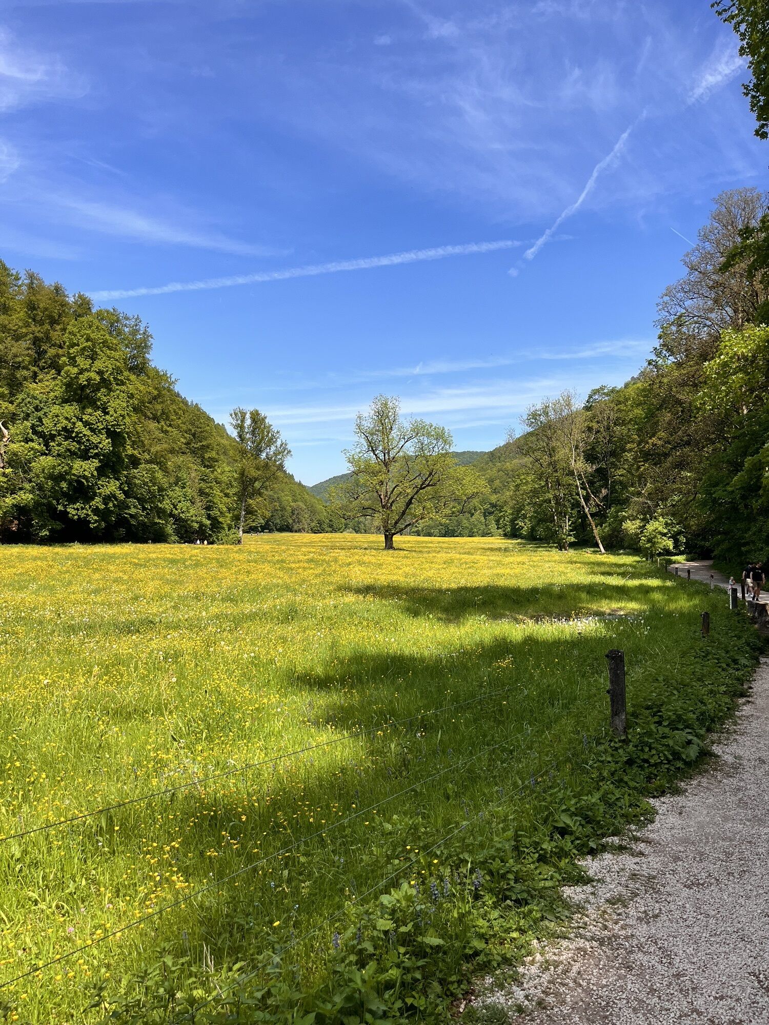

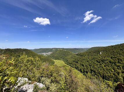
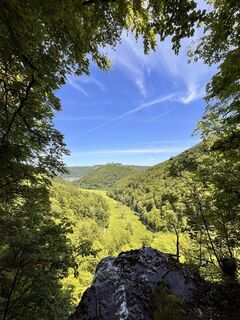
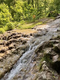
The Wasserfallsteig was voted Germany's most beautiful hiking trail in 2016 by the annual Wandermagazin election. What makes the Wasserfallsteig so special are the contrasts between valley and plateau,...
The Wasserfallsteig was voted Germany's most beautiful hiking trail in 2016 by the annual Wandermagazin election. What makes the Wasserfallsteig so special are the contrasts between valley and plateau, shadow and light, forest and meadows, proximity and distance, narrowness and spaciousness, calm and exertion, flat and hilly, and between water and earth!
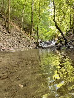
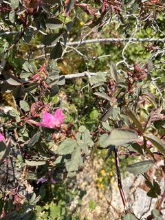
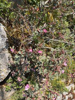
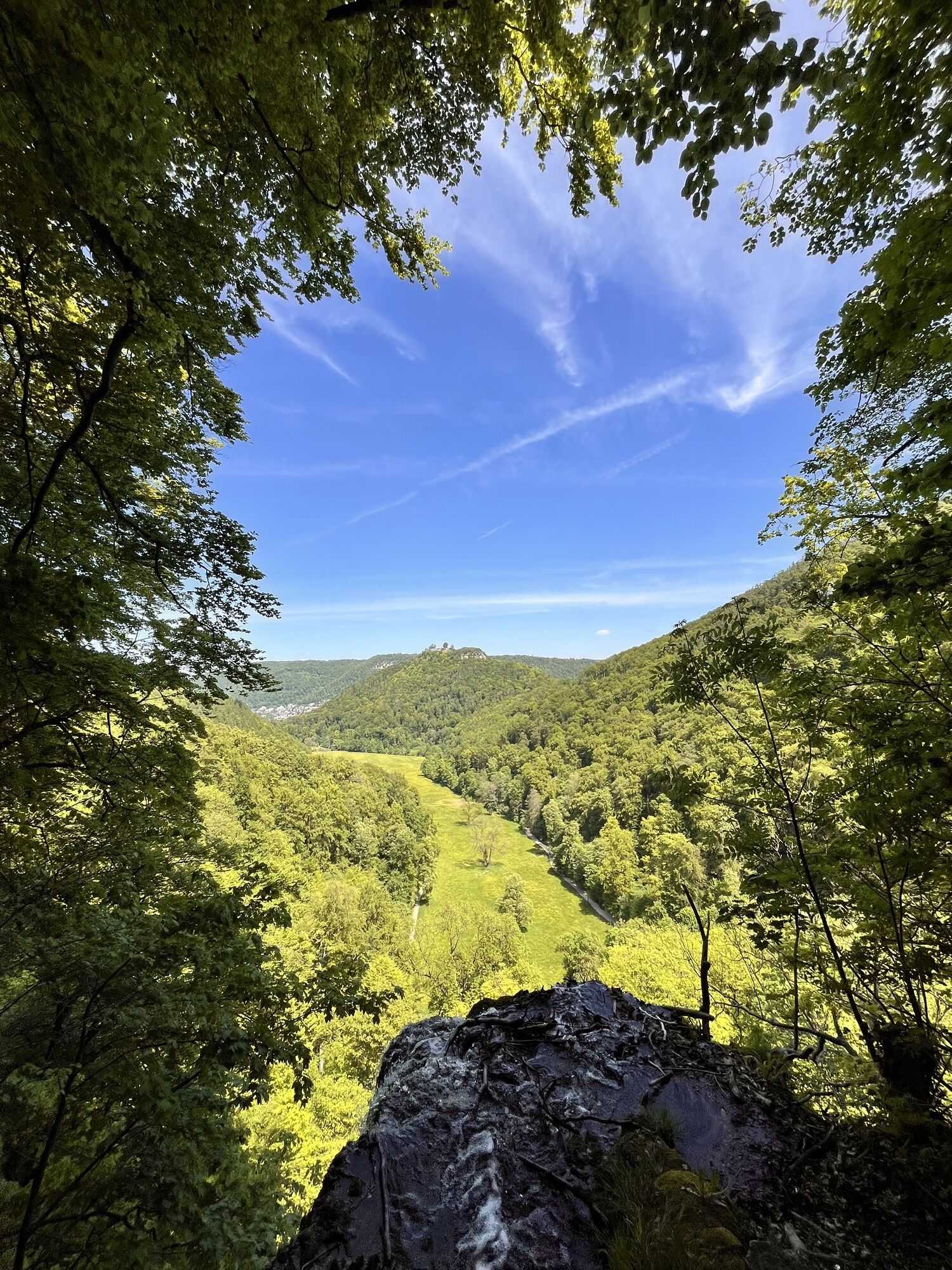
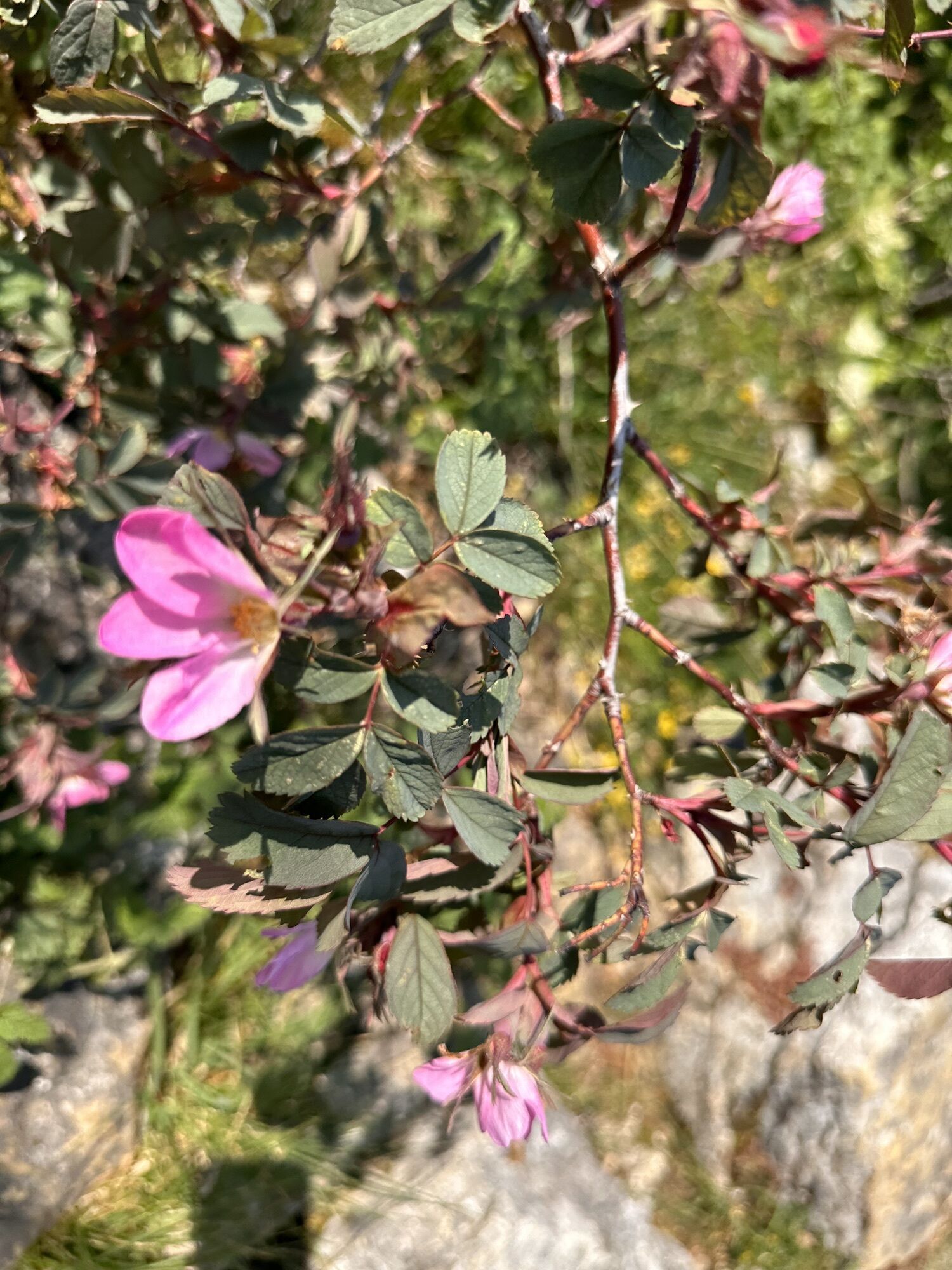
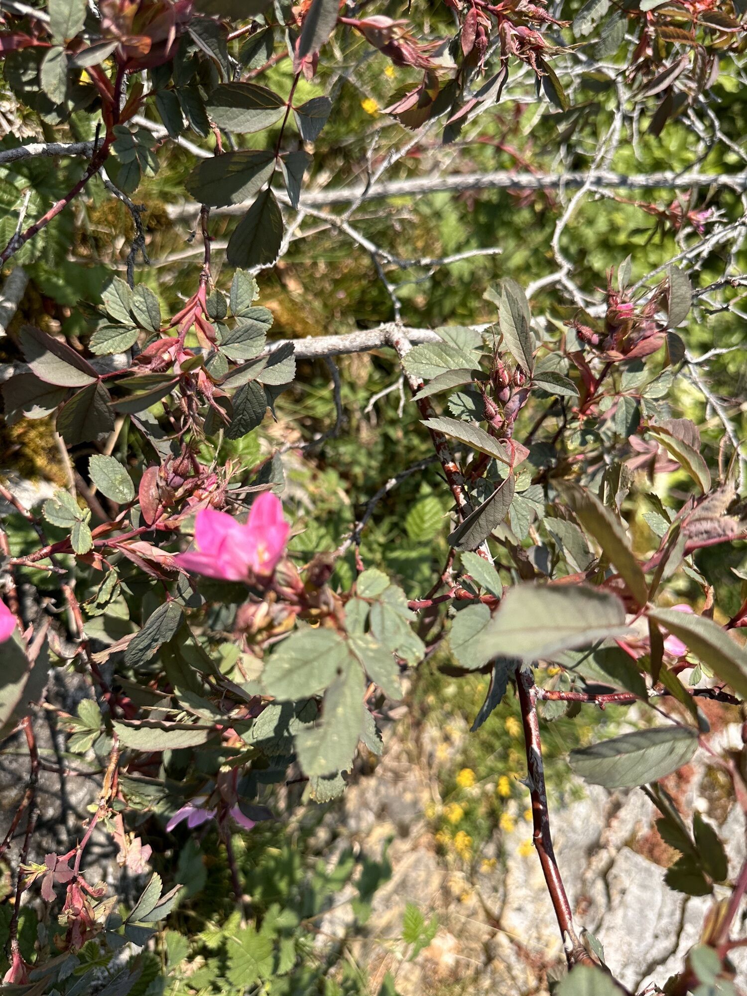
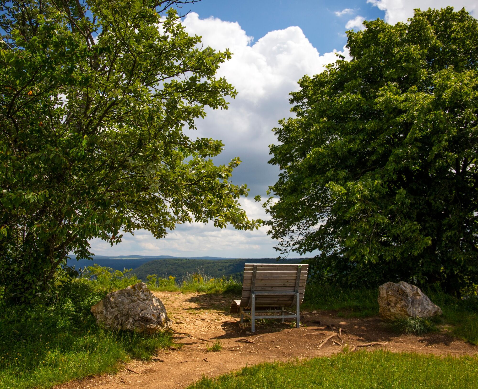
This circular hike takes us on varied paths through the stunning landscape of the UNESCO Biosphere Reserve Swabian Alb to two impressive waterfalls. It transports us into a kind of primeval forest that shows us the small wonders of nature. The steep path leads us up the Alb plateau and along the Alb edge where we feel a sense of freedom and are rewarded with endless expanse and breathtaking views over the Urach Alb and the castle ruins of Hohenurach.
The Wasserfallsteig further takes us into the realm of wildlife, where we can catch exciting glimpses of the life of the foals at the Fohlenhof outpost of the main and state stud farm Marbach.


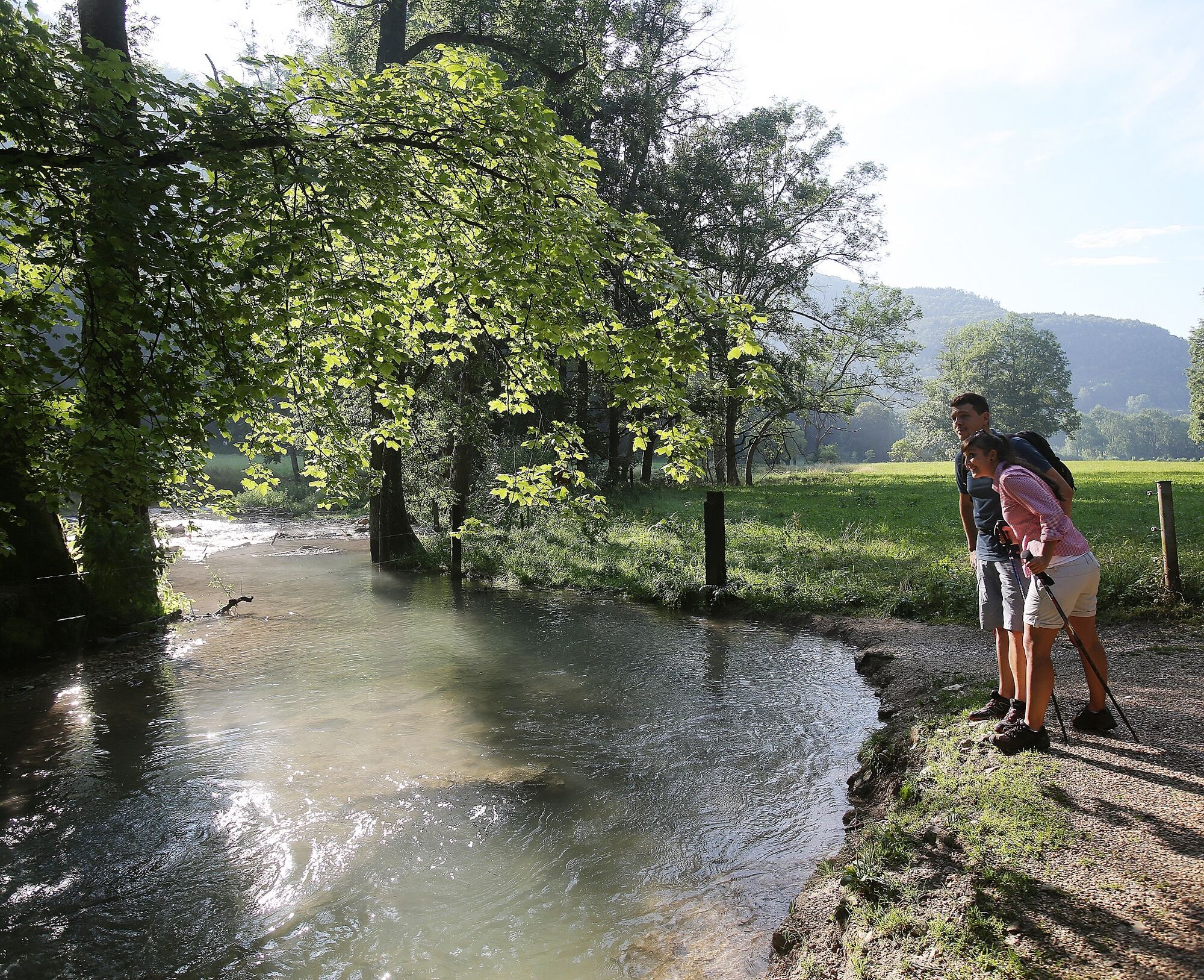
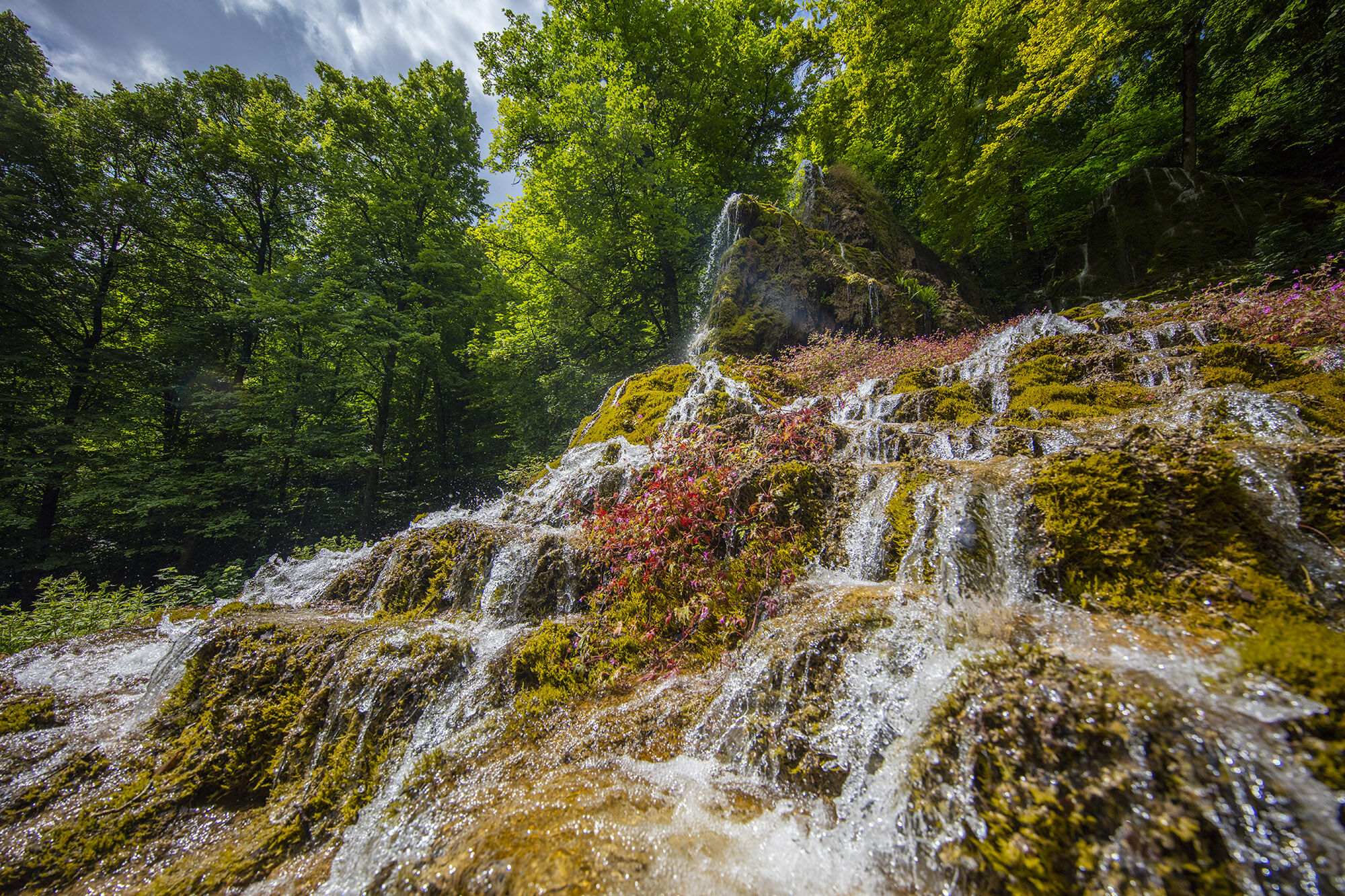

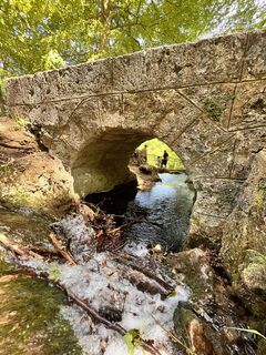
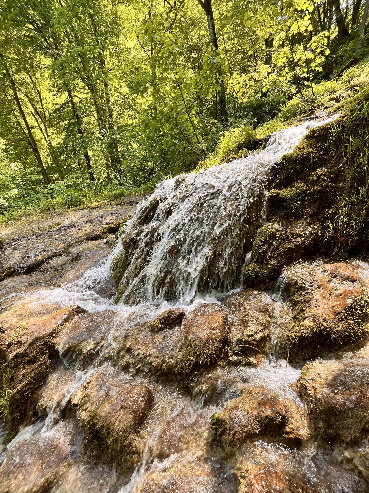
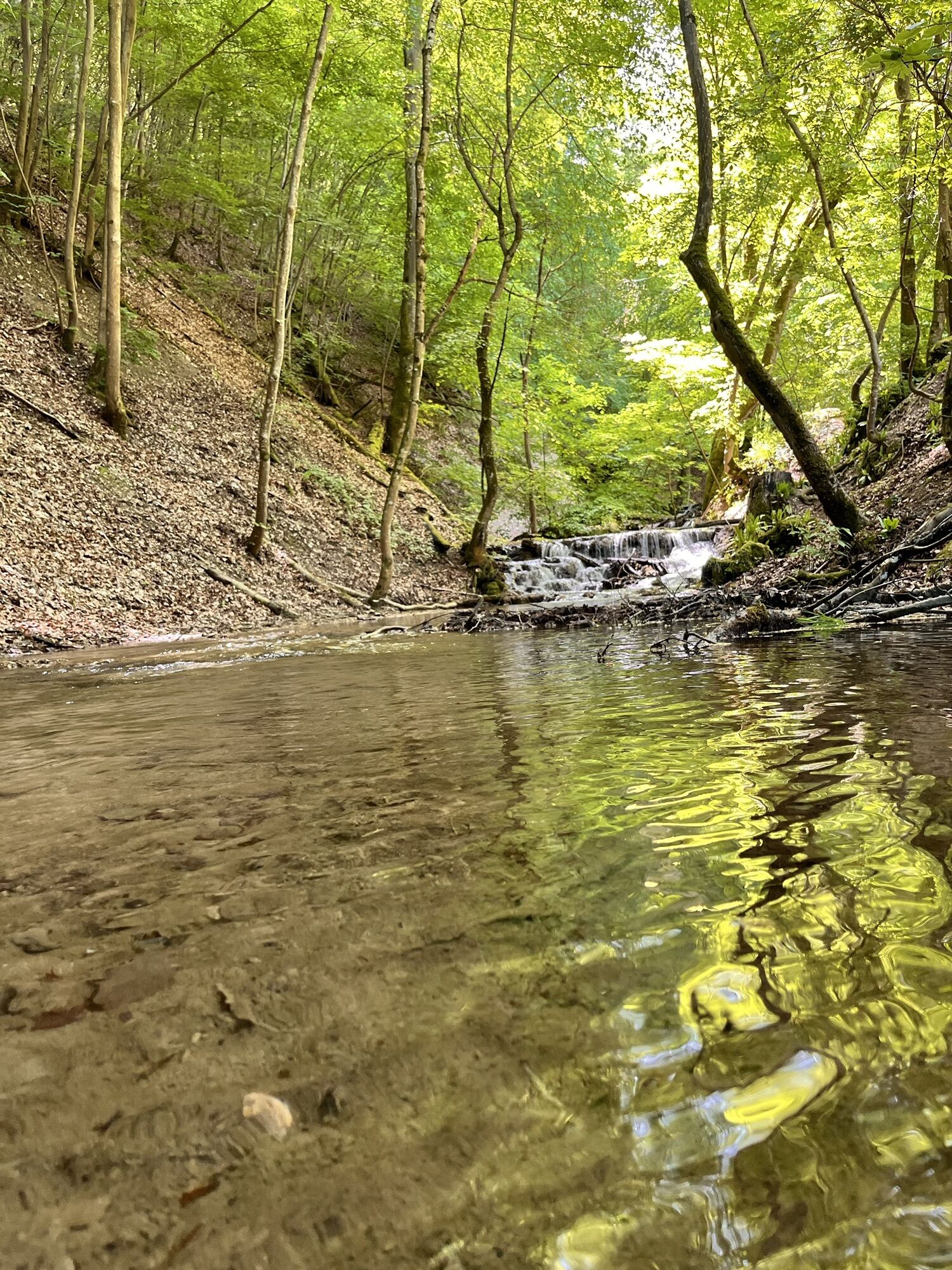
The starting point is the Maisental hiking car park P23 at the foot of Schlossberg. From there we walk along the winding Brühlbach into the valley of the same name. On the way along the meadows, we enjoy the wild romantic landscape and the lush green of the trees until we can already hear the roar of the Urach Waterfall from afar. At the end of the valley, we climb up a developed natural path with stairs along the largest waterfall of the Swabian Alb in switchbacks. We reach the high meadow via wide serpentine paths. At the resting place there, with a managed waterfall hut, we can take a relaxed break.
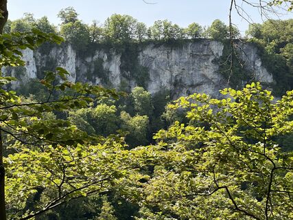
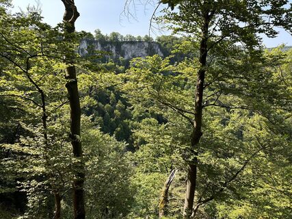
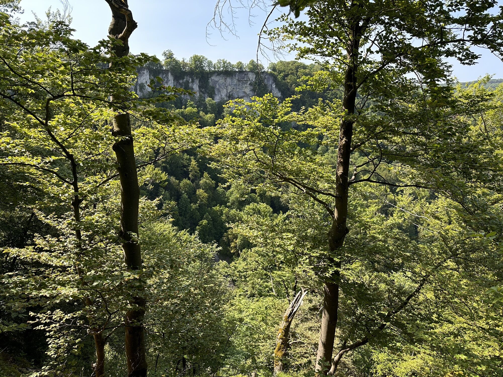
Freshly strengthened, we climb the steep Ameisenbühl on a natural path and admire the opposite Rutschenfelsen rocks. Our further route also leads there, running parallel to the slope along the limestone cliffs and granting us fantastic views into Maisental and over the surrounding hills. We continue along the path over the high plateau, pass the Rohrauer hut, and at the next large intersection turn right into the forest, following the forest road until we reach the Fohlenhof outlying farm of the Marbach stud farm. Right in front of it, we can rest at a barbecue area before crossing the stud farm by an official path.
A natural stone path winds in switchbacks through the forest down to the former Güterstein Charterhouse, past the Güterstein Waterfall, to the foot of the slope. Here we first turn right, then immediately left, and walk on a path towards Bad Urach through the orchard meadows of Maisental. Finally, we turn onto a farm road that then leads us back to our starting point, the Maisental hiking car park (P23).
Ja
Solid footwear, hiking sticks, and surefootedness are recommended for this route.
The Grafensteige are not stroll paths but hiking routes. Solid footwear, hiking sticks, and surefootedness are recommended for all routes. Especially after and during rainfall as well as in winter months, the limestone rock and the ground, especially on the slope section, can be very slippery. We ask you to exercise appropriate caution.
In case of emergency, always dial 112. If applicable, please mention that the injured persons are in an inaccessible area so that the Bad Urach mountain rescue service is informed, preventing unnecessary delays in rescue.
On the posts of the directional signs, you will find a plaque with the exact location number. This is known to the control center, ensuring quick help in an emergency.
Please note the information about the current closures.
From the west toward Reutlingen on B28 to Bad Urach. From the north/east on the A8 to Kirchheim unter Teck and then on the B465 and B28 to Bad Urach. Continue on B28 to Bad Urach Waterfall station, then turn into the Vorderes Maisental and park at the Maisental hiking car park (P23).
Take the Ermstalbahn (line RB 22977) to the Bad Urach Waterfall stop. From there it is about 500m to our starting point, the Maisental hiking car park (P23). Timetable information at www.naldo.de.
Maisental hiking car park (P23).
Free alternative parking (Mon - Fri) is available at the spa center (P1), about 1 km from the starting point of the hike.
A big request:
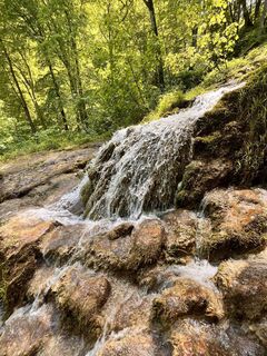
The Urach Waterfall lies entirely within a nature reserve and is protected as a geotope and forest biotope. A special phenomenon can be observed here: in the area of the waterfalls, the limestone-rich water loses part of the lime, which adheres to the existing moss cushions and covers them with a layer of lime. New layers form continuously and, over millennia, meter-thick deposits can develop. You can literally watch the porous rock, lime tuff (spring tuff), grow. The lime tuff and mosses are a valuable habitat, among others, for insects that in turn provide food for other creatures such as the fire salamander. Help protect this valuable habitat, this natural wonder of the Swabian Alb: please avoid entering the waterfall area. The delicate structures are very fragile and are destroyed when walked on.
UNESCO Biosphere Reserve Swabian AlbUNESCO Geopark Swabian AlbAfter the hike, you can relax perfectly in the fresh mineral thermal water of the AlbThermen.
Populære turer i nabolaget
-
4,0
Bad Urach Wasserfälle Rundwanderung
middelsVandring 11,4 km -
4,8
Hohenurachsteig Bad Urach
middelsVandring 7,65 km -
4,8
Hohenwittlingensteig Bad Urach
middelsVandring 6,48 km -
4,0
Bad Urach Wasserfall, Runde von Buchhalde
middelsVandring 12,1 km -
5,0
Lenningen: Weiße Lauter, Wasserfels, Guttenberger-,Gußmannshöhle, Schopflocher Moor, Hohgreutfels, Ruine Wielandstein
middelsVandring 15,7 km -
4,0
Seeburgsteig Bad Urach
middelsVandring 8,19 km -
5,0
Breitensteinrunde
lysVandring 10,3 km -
Rundweg Uracher Wasserfall Bad Urach, Deutschland
lysVandring 5,26 km -
5,0
Randecker Maar-Wielandstein
lysVandring 18,3 km -
5,0
Schopflocher Moor Runde
middelsVandring 13,8 km
Vandring og sporing


Ikke gå glipp av tilbud og inspirasjon til din neste ferie
E-postadressen din har blitt lagt til på adresselisten.