Around the Untersee
middels
Sykling
Navigere
Navigere
Få denne turen på mobiltelefonen din
Kart
Around the Untersee
middels
Sykling
71,18 km
Skann QR-koden og start navigasjonen i bergfex -appen
QR Code
Vandring og sporing
Vandring og sporing

Around the Untersee

Avstand
71,18 km
Varighet
05:00 h
Oppstigning
198 hm
Havnivå
393 - 439 m

Vanskelighetsgrad: 2

Nedlasting av spor
Kart
Around the Untersee
middels
Sykling
71,18 km

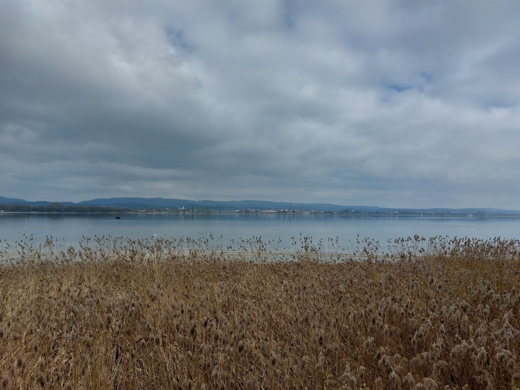
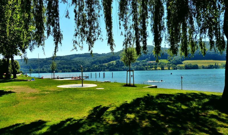
The Untersee round at the western Lake Constance is perfect as a day route for active, adventurous people. The bike paths are always close to the lake shore and lead past bathing spots, viewpoints and places to eat.


Rute
Radolfzell am Bodensee
(404 m)
By
0,7 km
St. Nikolaus
(403 m)
Sted for tilbedelse
9,6 km
Constance
(405 m)
By
20,8 km
Arenenberg
(459 m)
Oppgjør
29,4 km
Reformierte Kirche
(398 m)
Sted for tilbedelse
33,0 km
St. Blasius
(404 m)
Sted for tilbedelse
51,9 km
Kapelle St. Mauritius
(428 m)
Sted for tilbedelse
58,9 km
Rute
Kart
Around the Untersee
middels
Sykling
71,18 km
Radolfzell (Bodensee)
(398 m)
Landingsplass for ferger
0,0 km
Radolfzell am Bodensee
(404 m)
By
0,7 km
Markelfingen
(405 m)
Landsby
3,3 km
Das untere Kapplerfeld
(406 m)
Korridor/terreng
7,3 km
St. Nikolaus
(403 m)
Sted for tilbedelse
9,6 km
Allensbach
(421 m)
Landsby
9,6 km
Seegarten
(399 m)
Lekeplass
10,1 km
Hegne
(421 m)
Landsby
12,5 km
Obere Vogelhardt
(408 m)
Korridor/terreng
13,0 km
Lindenbühl
(411 m)
Nabolag
15,7 km
Eichbühl
(406 m)
Nabolag
16,1 km
Kreuzlingen
(397 m)
By
20,7 km
Constance
(405 m)
By
20,8 km
Tägermoos
(398 m)
Oppgjør
21,7 km
Gottlieben
(400 m)
Landsby
22,7 km
Tägerwilen
(415 m)
Landsby
22,9 km
Triboltingen
(415 m)
Landsby
25,0 km
Stad
(398 m)
Landsby
27,3 km
Ermatingen
(410 m)
Landsby
28,0 km
Breitenstein
(425 m)
Nabolag
28,1 km
Lilienberg
(430 m)
Nabolag
28,2 km
Lankenberg
(427 m)
Nabolag
28,5 km
Westerfeld
(397 m)
Oppgjør
28,8 km
Salenstein
(495 m)
Landsby
29,4 km
Arenenberg
(459 m)
Oppgjør
29,4 km
Mannenbach-Salenstein
(412 m)
Landsby
30,0 km
Pizzeria Lago Mio
(400 m)
Restaurant
30,1 km
Mannenbach-Salenstein
(400 m)
Jernbanestasjonen
30,1 km
Chnebel
(408 m)
Nabolag
30,1 km
Oberdorf
(404 m)
Nabolag
30,2 km
Seehotel Schiff
(399 m)
Restaurant
30,3 km
Unterdorf
(399 m)
Nabolag
30,4 km
Luisebärg
(421 m)
Oppgjør
30,6 km
Almänd
(397 m)
Korridor/terreng
30,6 km
Seestern
(398 m)
Restaurant
31,8 km
Schiff
(397 m)
Restaurant
32,9 km
Hirschen
(397 m)
Restaurant
32,9 km
Berlingen
(399 m)
Landsby
32,9 km
Reformierte Kirche
(398 m)
Sted for tilbedelse
33,0 km
Jochental
(443 m)
Oppgjør
34,2 km
Steckborn
(402 m)
Landsby
36,2 km
Lido
(401 m)
Restaurant
37,4 km
Glarisegg
(406 m)
Oppgjør
38,0 km
Spannacker
(400 m)
Oppgjør
39,2 km
Rollirain
(456 m)
Oppgjør
39,6 km
Seewiesen
(408 m)
Korridor/terreng
39,8 km
Freienstein
(438 m)
Oppgjør
40,6 km
Friedberg
(444 m)
Oppgjør
40,8 km
Katholische Kirche St. Blasius
(407 m)
Sted for tilbedelse
41,8 km
Mammern
(406 m)
Landsby
41,9 km
Mammern
(412 m)
Jernbanestasjonen
42,3 km
Im Fennenbach
(401 m)
Oppgjør
44,1 km
Eschenz
(417 m)
Jernbanestasjonen
45,4 km
Bahnhof
(418 m)
Restaurant
45,4 km
Eschenz
(411 m)
Landsby
45,5 km
Stein am Rhein
(413 m)
Jernbanestasjonen
47,5 km
Wagenhausen
(411 m)
Landsby
47,5 km
Stein am Rhein
(413 m)
Landsby
48,2 km
Stiegen
(402 m)
Oppgjør
50,1 km
St. Blasius
(404 m)
Sted for tilbedelse
51,9 km
Kattenhorn
(407 m)
Landsby
52,0 km
Gasthof Auer
(408 m)
Restaurant
53,0 km
Wangen
(413 m)
Landsby
53,6 km
Marbach
(451 m)
Oppgjør
55,7 km
Landgasthof Kellhof
(410 m)
Restaurant
57,0 km
Hemmenhofen
(401 m)
Landsby
57,1 km
Zur alten Post
(409 m)
Restaurant
57,4 km
Pestkapelle
(409 m)
Sted for tilbedelse
57,5 km
Zum Fährmann
(413 m)
Restaurant
58,6 km
Gaienhofen
(418 m)
Landsby
58,7 km
Kapelle St. Mauritius
(428 m)
Sted for tilbedelse
58,9 km
Horn
(446 m)
Landsby
60,5 km
Gundholzen
(424 m)
Landsby
62,4 km
Iznang
(400 m)
Landsby
65,1 km
Gasthaus Seehof
(401 m)
Restaurant
65,1 km
Alte Wirtsstube
(399 m)
Restaurant
65,2 km
Tassone
(399 m)
Restaurant
67,4 km
Moos (Bodensee)
(401 m)
Landsby
67,4 km
Altes Feuerwehrhaus
(400 m)
Korridor/terreng
67,4 km
Gasthaus Schiff
(399 m)
Restaurant
67,5 km
Radolfzell am Bodensee
(404 m)
By
71,1 km
Radolfzell (Bodensee)
(398 m)
Landingsplass for ferger
71,1 km
Beskrivelse av

From Radolfzell on Lake Constance, take about 5 hours to circle the Untersee, with wide views of the lake and mountains and many bathing opportunities.

Teknologi
2 / 6
Tilstand
4 / 6
Landskap
5 / 6
Erfaring
5 / 6
Beste tid på året
Jan
Feb
Mar
Apr
Mai
Jun
Jul
Aug
Sep
Okt
Nov
Des
Forfatter
Logo
Del tur
Kart
Around the Untersee
middels
Sykling
71,18 km
Feil
Det har oppstått en feil. Vennligst prøv på nytt.
Informasjon om ruten
Rute

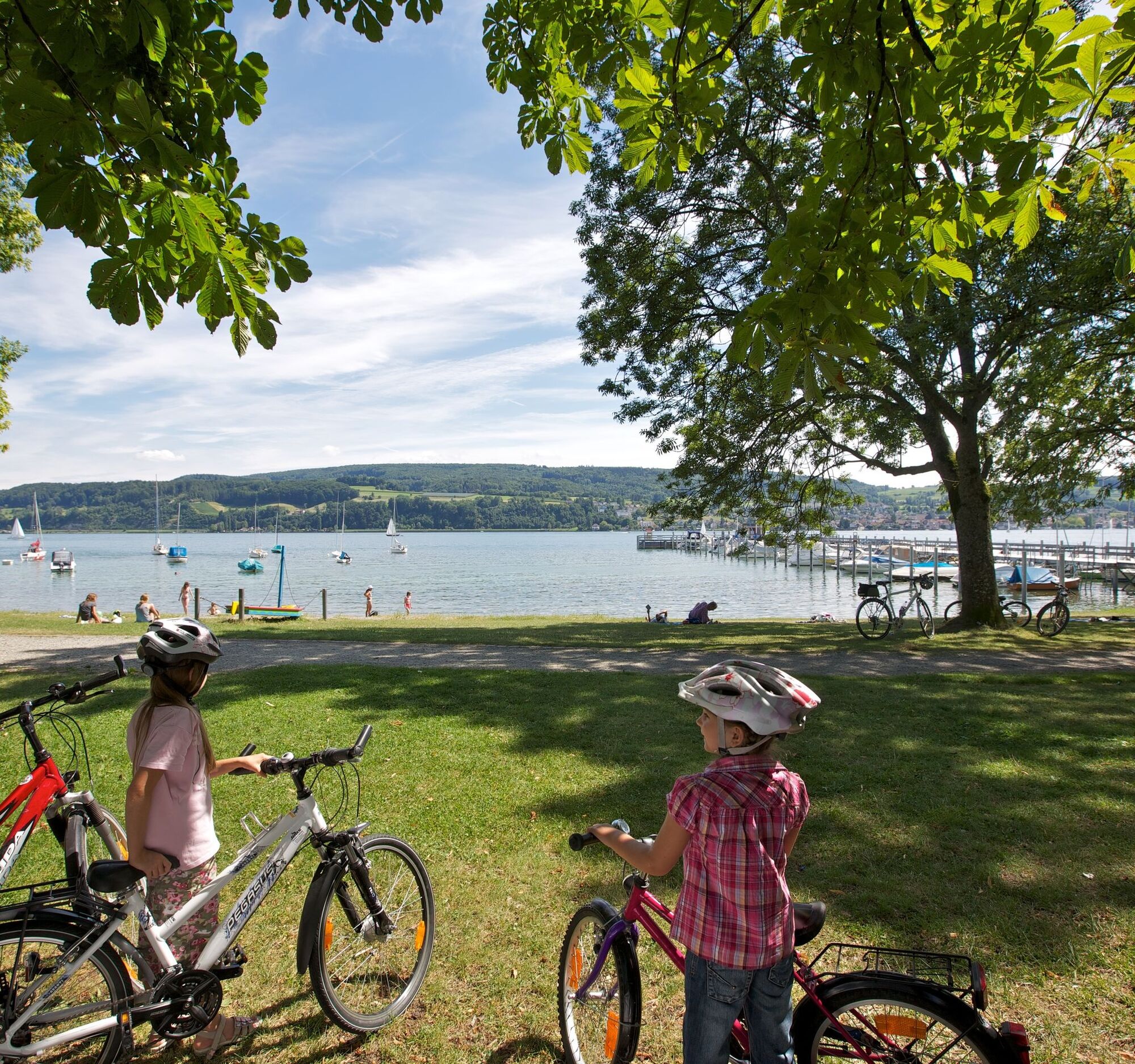
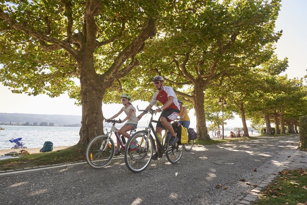
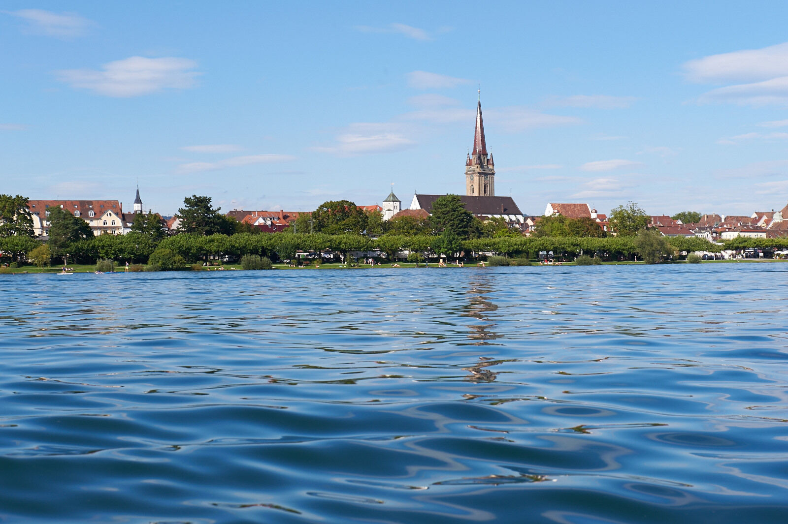
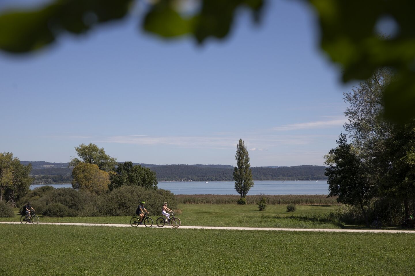
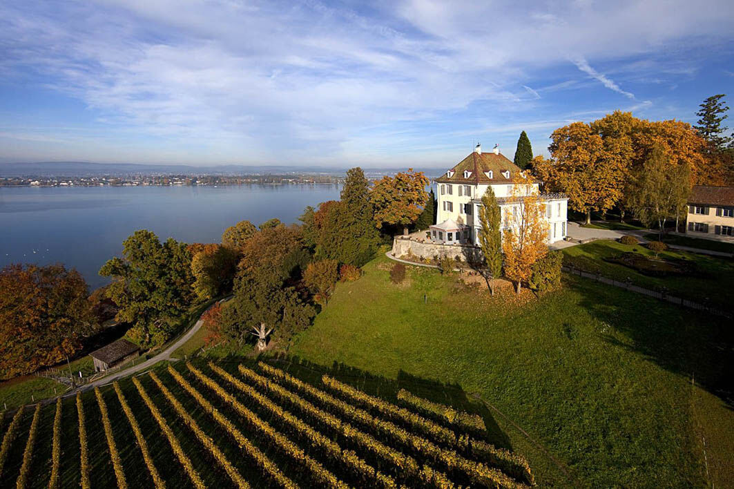
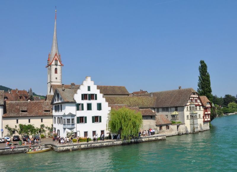
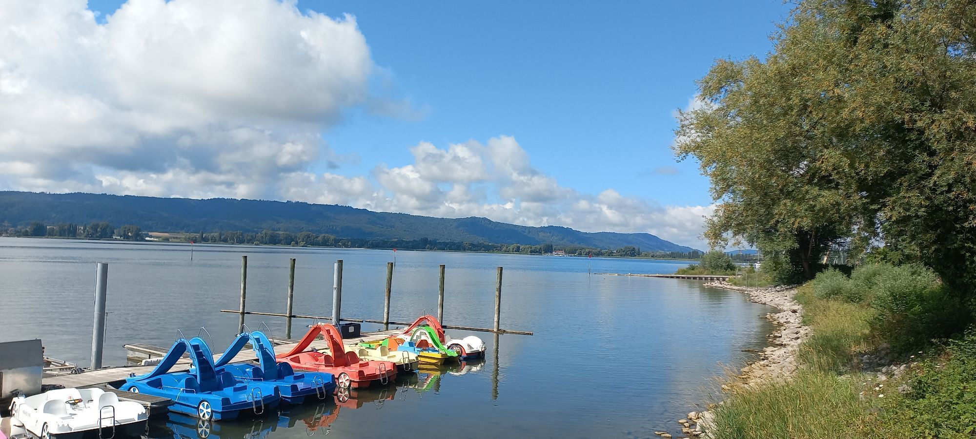
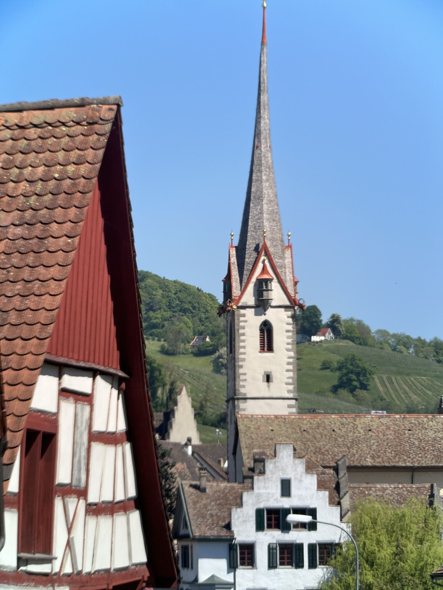
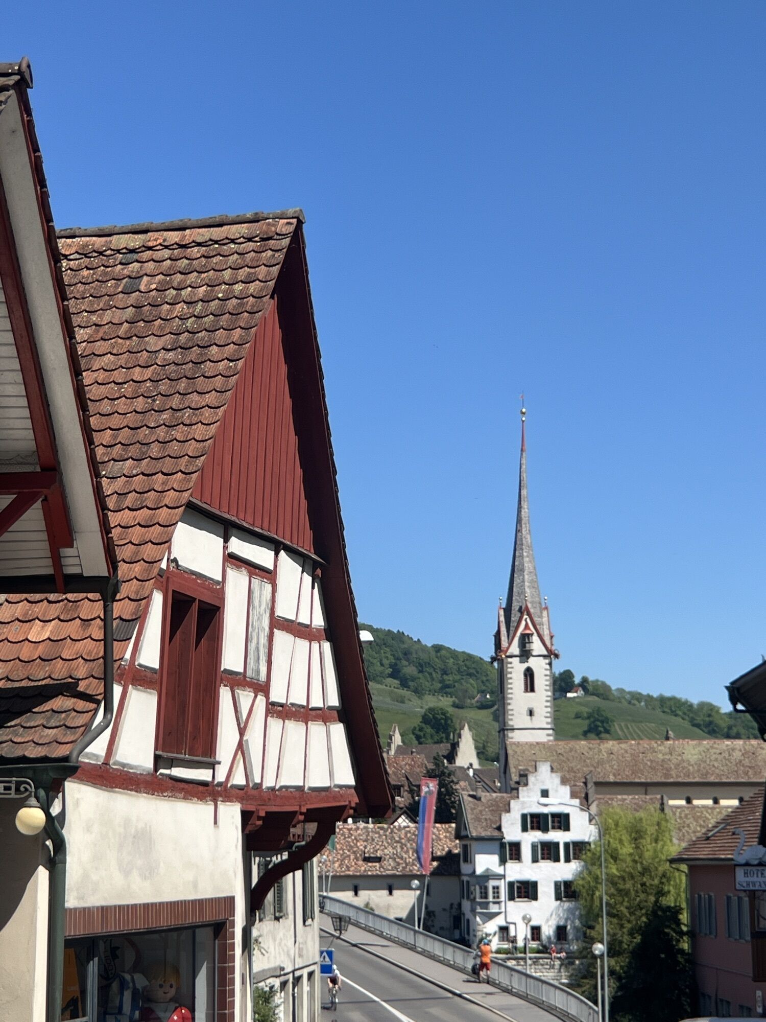
This route starts at the train station in Radolfzell on Lake Constance and runs on the bike path parallel to the B 33 towards Konstanz. On the way, you cycle through Markelfingen and Allensbach. Instead of big climbs, you can expect relaxed views of the Untersee. Shortly after Allensbach, you pass by Hegne Castle. Finally, arriving in Konstanz, you cross the new Rhine bridge to the border crossing Gottlieben (CH). Shortly after customs, a beautiful lakeside path leads to Ermatingen. Modernly constructed bike paths take you over Berlingen and Steckborn to Stein am Rhein. For the return trip, two options are available. Either via the Höri peninsula (Wangen – Gaienhofen – Moos) or towards Singen around the Schienerberg (Ramsen – Wiesholz – Bohlingen – Moos), back to Radolfzell.

Geologiske høydepunkter

Ja

Utstyr

Don't forget appropriate clothing! Sun and rain protection and especially a bicycle helmet should always be with you. It is recommended to carry enough drinks and some provisions.

Sikkerhetsinstruksjoner

One section of this route runs along the Swiss Untersee shore. We therefore strongly recommend carrying a valid ID.

Informasjon om ankomst
Ankomst

From Stuttgart via the A81 motorway, new B33. From Ulm or via Ravensburg on federal roads B31 and B34.
From Nuremberg and Munich via the A96 motorway Memmingen, Kempten, Lindau, then continue on federal roads B31 and B34.
From Frauenfeld via the A7 to Kreuzlingen - Konstanz, then continue on federal road B33. From Stein am Rhein via country road L192. From Schaffhausen via E41/E54 to Thayngen, then continue on the B34, then on the A81 towards Stuttgart and further on the B33 to Radolfzell exit.

Follow the train station signs in Radolfzell.

Offentlig transport

Direct routes to Radolfzell from Basel, Karlsruhe and Friedrichshafen (IRE or RE). From Stuttgart, Ulm, Zurich and Düsseldorf (ICE, IC, IRE or RE), 1-2 transfers necessary. Timetables at www.bahn.de.

Parkering

Train station parking garage with parking ticket and free parking at Messeplatz.

Ytterligere informasjon og tips
Vanskelighetsgrad

2

Ytterligere informasjon

During the shipping season, the route can also be shortened across the water at will! The timetables can be viewed online here: http://bsb.de/fahrplan-online.html

Tips

On the Swiss lakeside, a detour to Arenenberg Castle and Park is worth it! From the lakeside path near Salenstein, over the tracks and main road, the Arenenbergstraße leads up to the castle.

Ingen anmeldelser ennå
Skriv en anmeldelse

Anmeldelser hjelper andre brukere med å velge sitt neste eventyr. Vennligst gi kun vurdering av turen, ikke været eller snacksen din.

Velg en av stjernene for å rangere turen
Dårlig tur
Svak tur
Middelmådig tur
God tur
Utmerket tur
Vandring og sporing

Vandring og sporing

Vandring og sporing
Over 550.000 turforslag, detaljerte kart og en intuitiv ruteplanlegger gjør appen til et must for alle naturentusiaster.
Vandring og sporing