


Vanskelighetsgrad: 2


Bilder av brukerne våre
-
 © Vo SpOpprettet den 26.07.2025
 -
 © Vo SpOpprettet den 26.07.2025
 -
 © Vo SpOpprettet den 26.07.2025
 -
 © Vo SpOpprettet den 26.07.2025
 -
 © simone ravasiOpprettet den 03.10.2025
 -
 © simone ravasiOpprettet den 03.10.2025
 -
 © simone ravasiOpprettet den 03.10.2025
 -
 © simone ravasiOpprettet den 03.10.2025
 -
 © simone ravasiOpprettet den 03.10.2025
 -
 © simone ravasiOpprettet den 03.10.2025
 -
 © simone ravasiOpprettet den 03.10.2025
 -
 © simone ravasiOpprettet den 03.10.2025

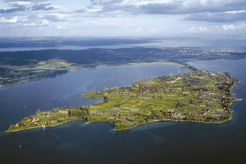
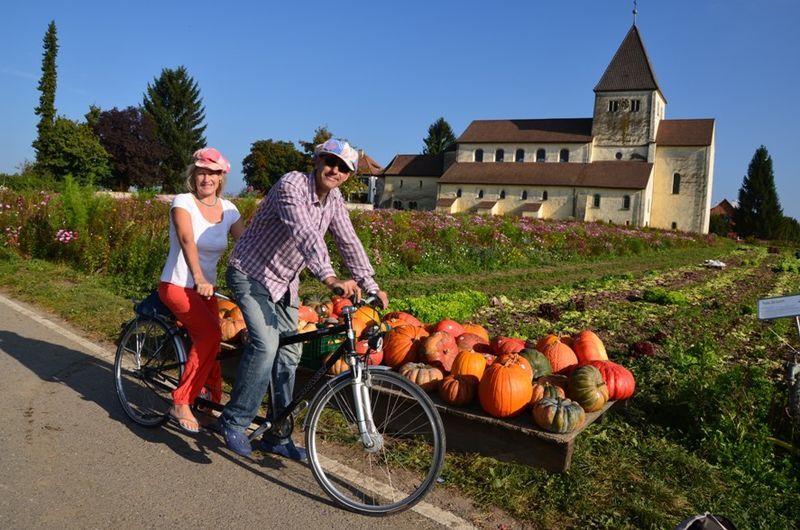
The World Heritage island of Reichenau is the largest island in Lake Constance. Here you can buy directly from the gardener. Small fruit or vegetable stands with a cash box relying on the honesty of buyers...
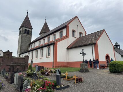
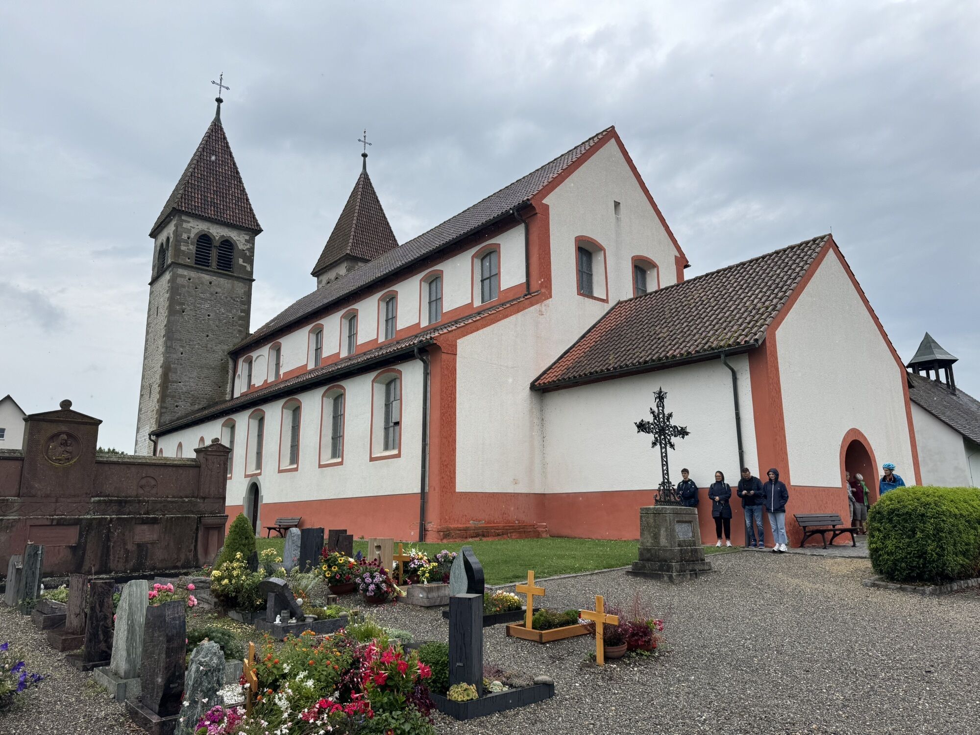
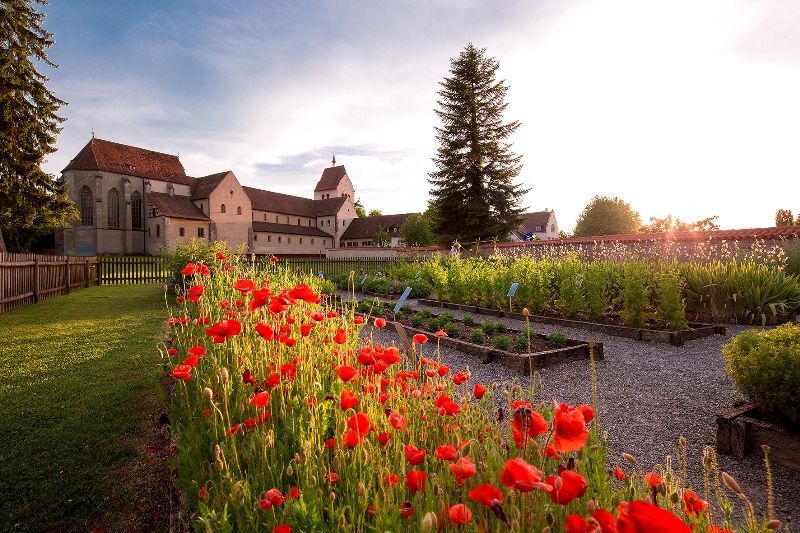
The World Heritage island of Reichenau is the largest island in Lake Constance. Here you can buy directly from the gardener. Small fruit or vegetable stands with a cash box relying on the honesty of buyers stand by the roadside. Besides the vegetable fields, it is the churches that made Reichenau famous. As early as 840, the close connection between religion and vegetables on the island became clear when Abbot Walahfried Strabo wrote the didactic poem “Hortulus” about horticulture. A visit is worthwhile to the minster in Mittelzell and the church of St. Georg. It houses the most important murals on the island and in the whole region in its interior.
Crisp salads and fresh fish are always offered to us along the way. The gardens along this route are covered with flowers. A tip is the Böhler garden in Niederzell.
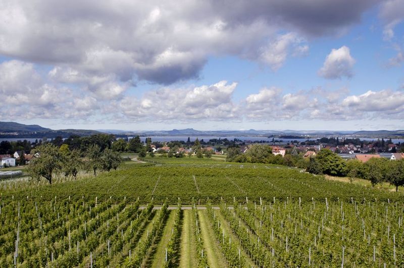
At Hochwart, the highest point on the island, you not only have a great panoramic view of Untersee, the Hegau volcanoes, and the Swiss lake shore. On some days, the craftswoman serves coffee and cake on the green meadow under cherry trees here. Pure idyll.

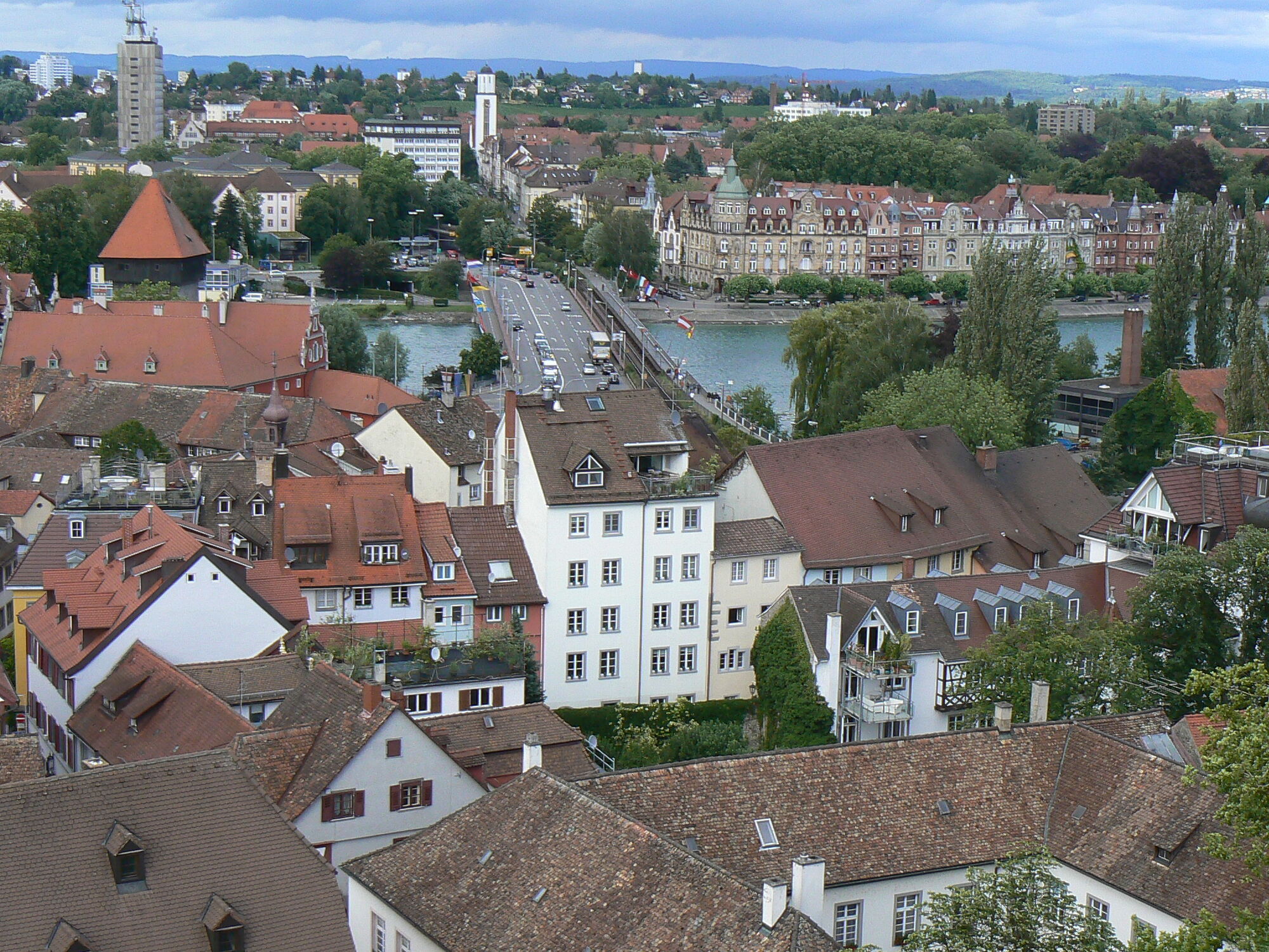
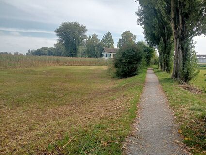
We start our route at the bicycle bridge in Konstanz. From here, we head west along the new Seerhein waterfront through Herosepark to the new Rhine bridge, which we pass under to once again follow the shore of the Seerhein in Stromeyersdorf. To reach the Reichenau dam, we have to cycle up from Fritz-Arnoldstraße to Wollmatinger train station. Now we follow the cycle path along the railway line to Reichenau station, where we change sides of the street and cycle south (left) over the Reichenau dam to the island.
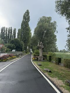
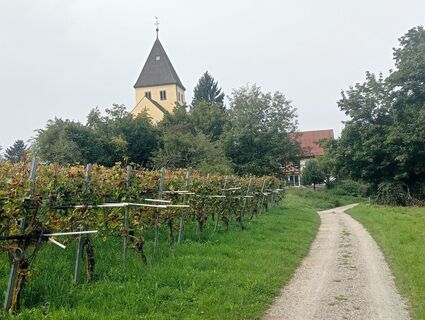
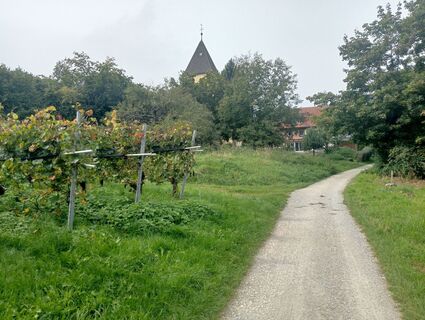
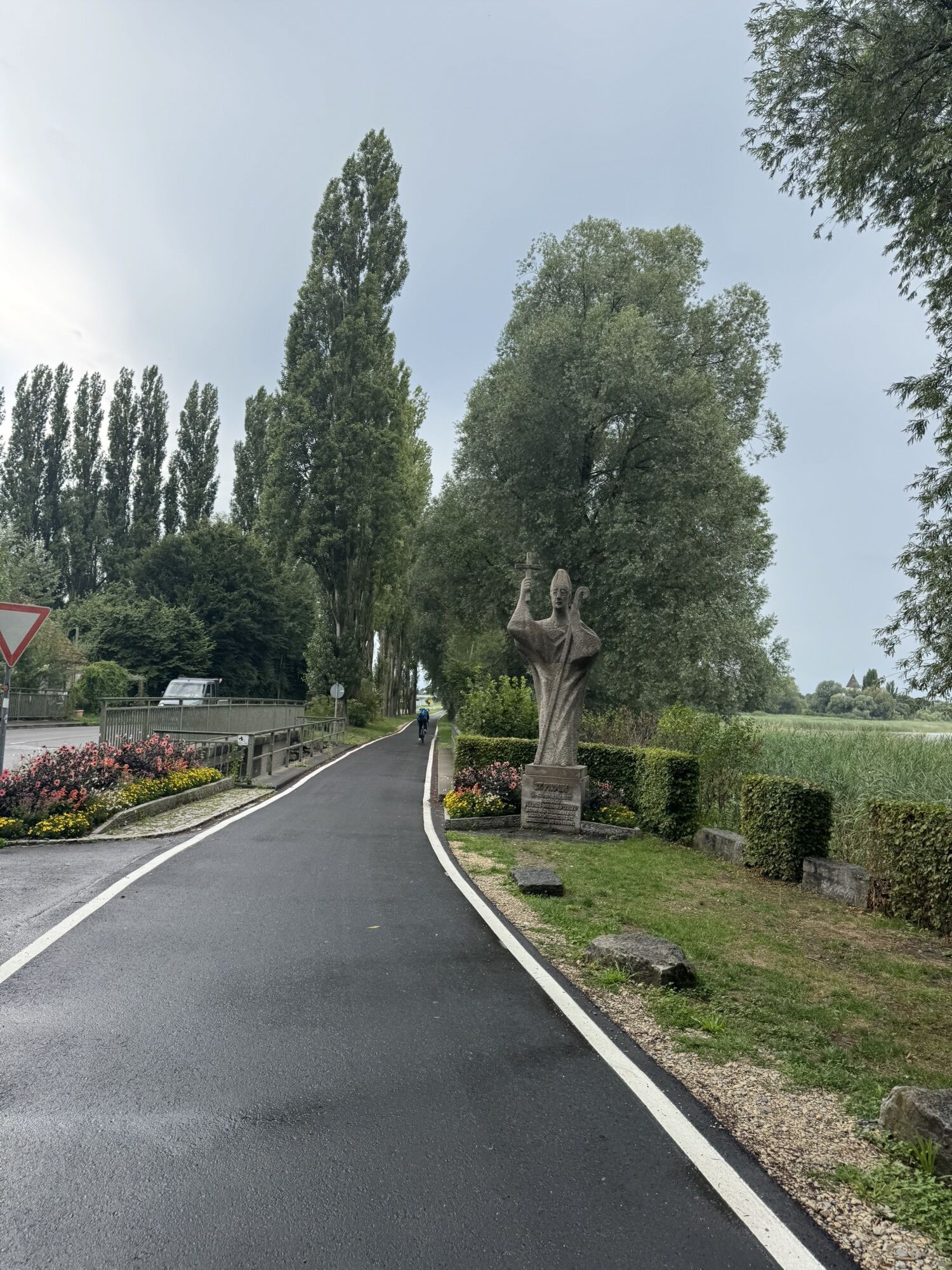
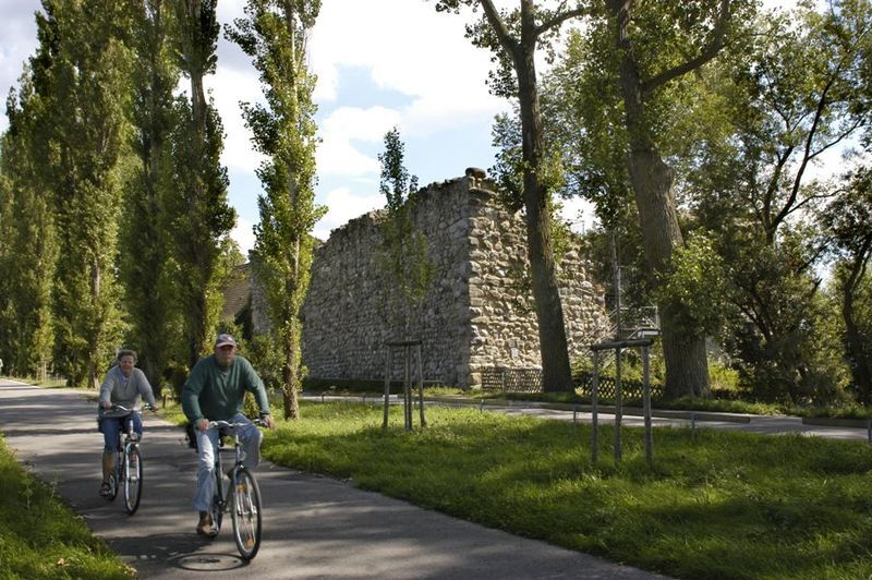
A beautiful avenue leads over the island dam onto the island of Reichenau.
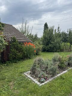
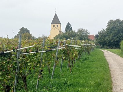
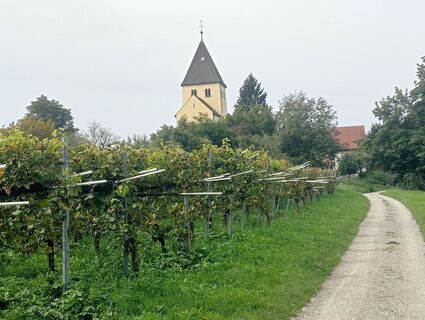
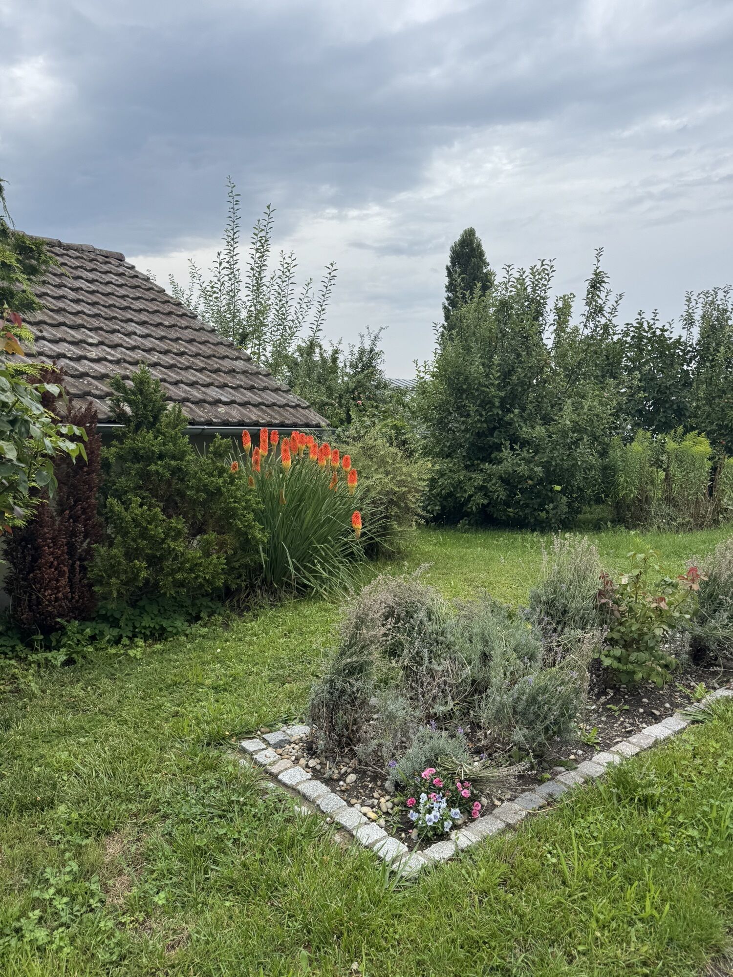
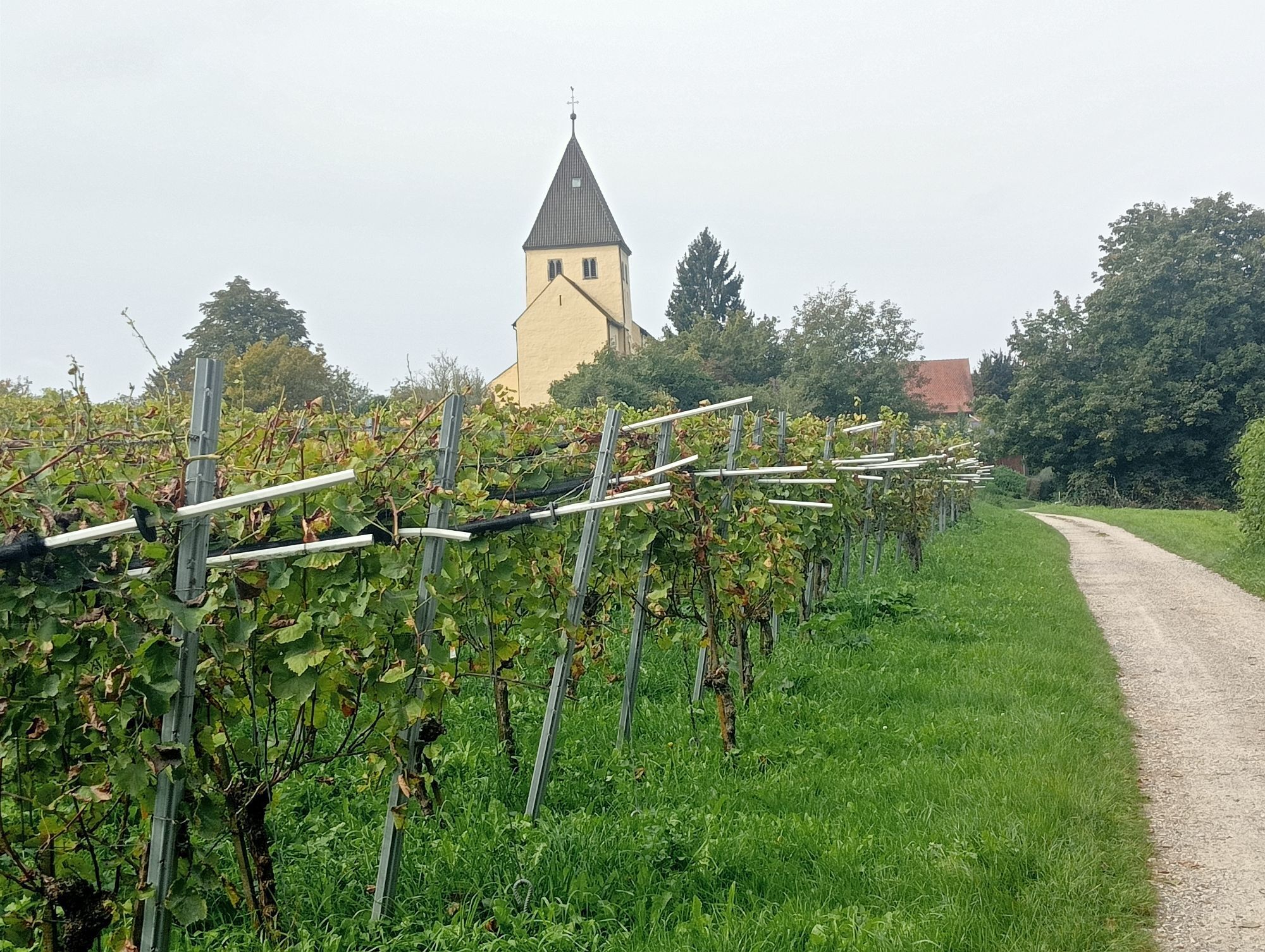
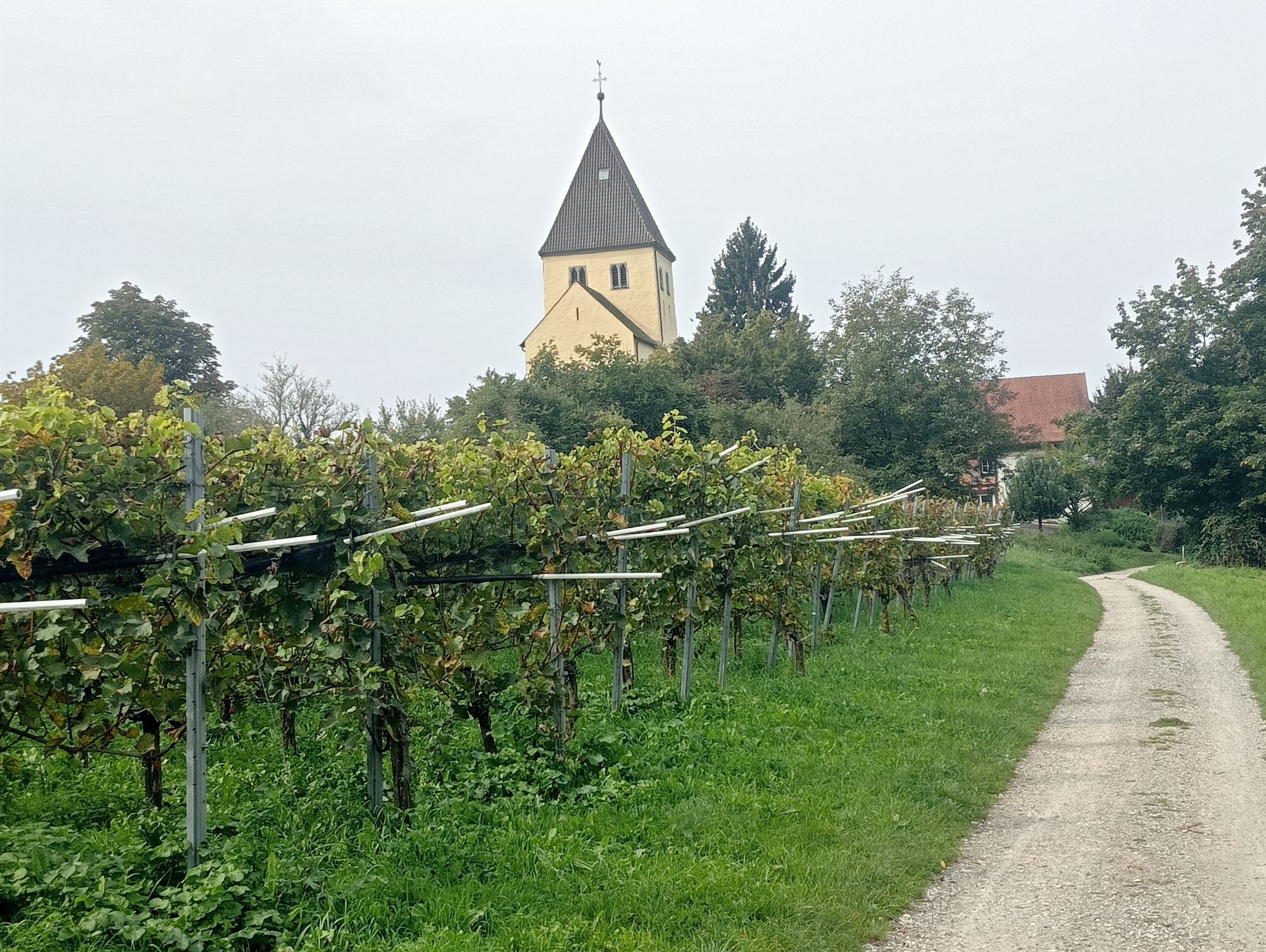
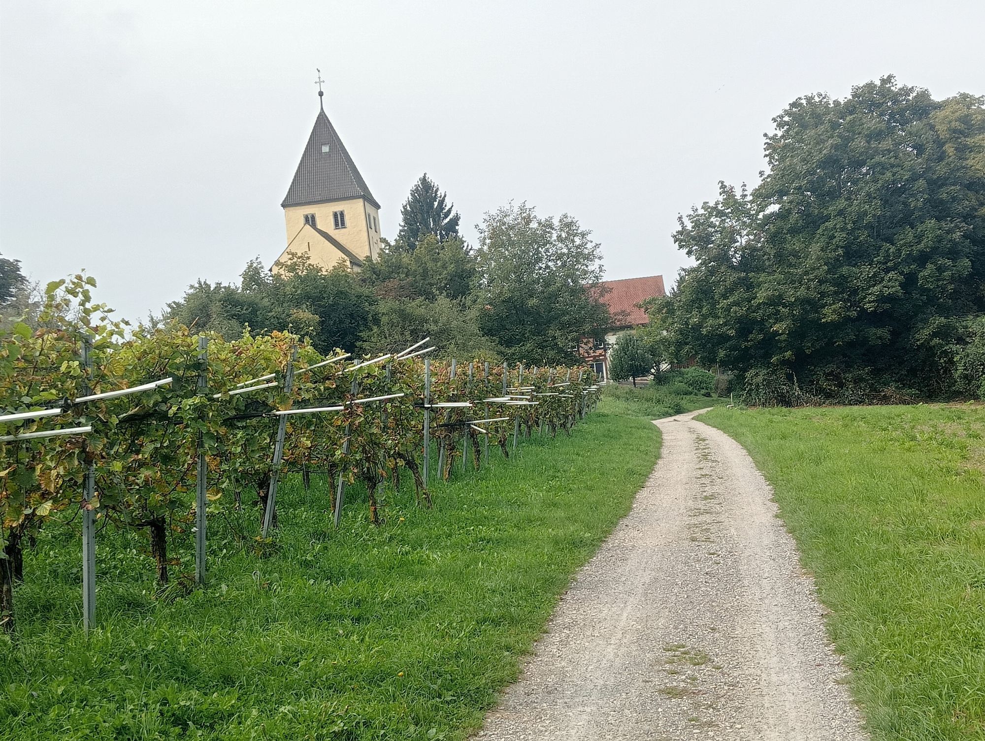
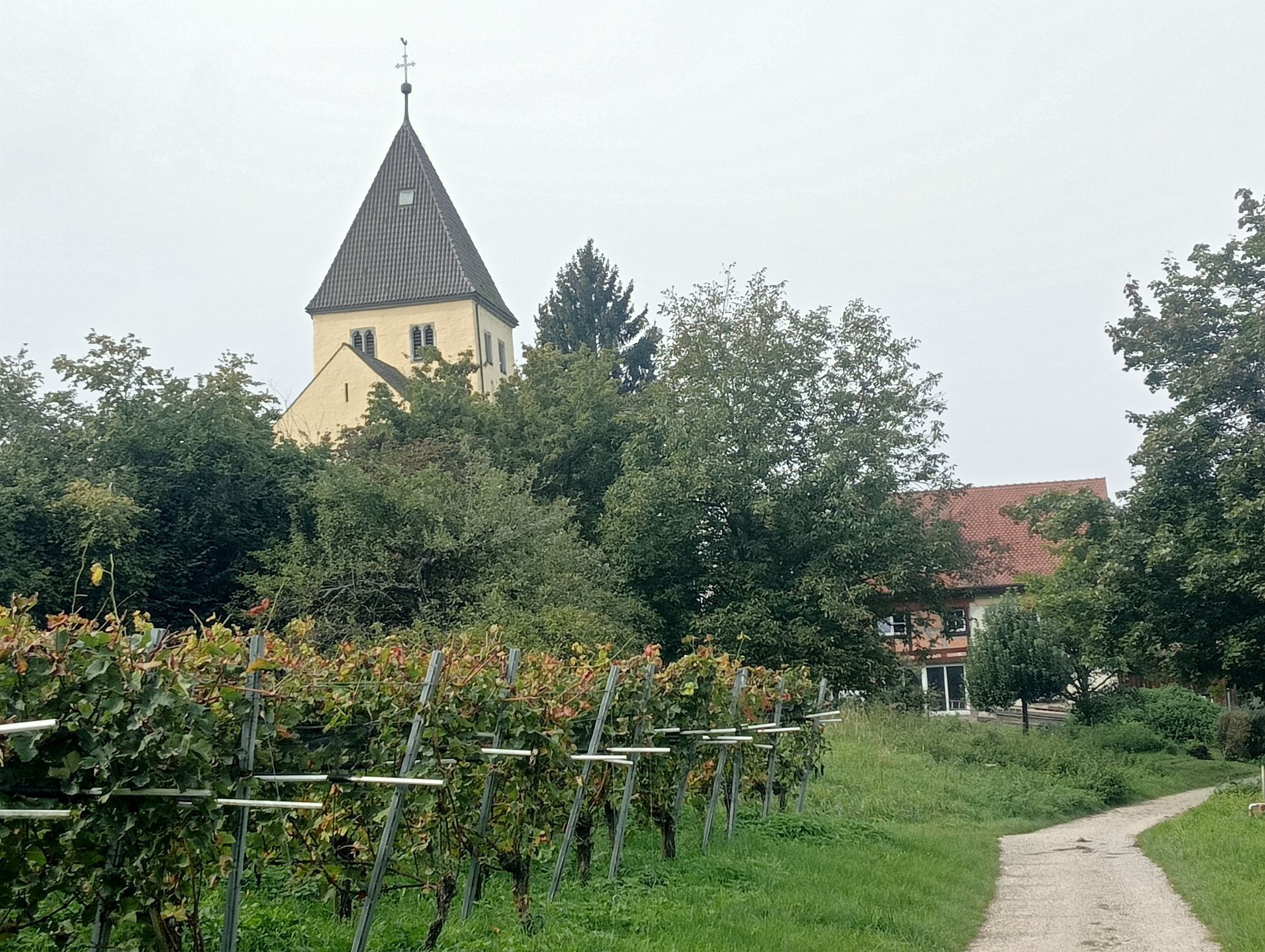
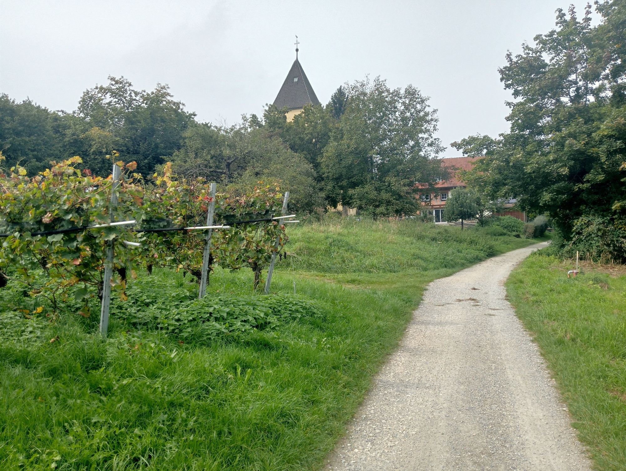
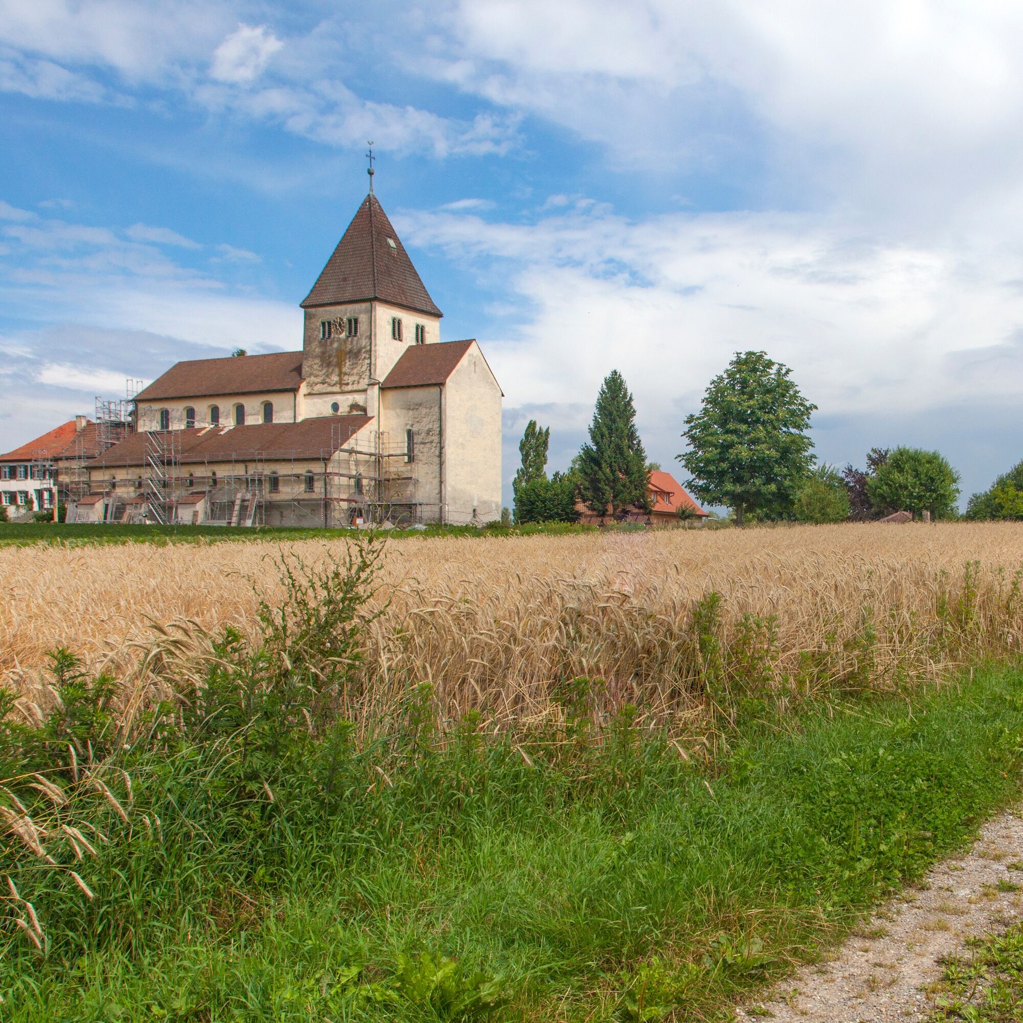
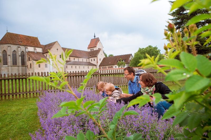
From the cycle path, we can already see the church of St. Georg. On the right, a path branches off that leads us below the church of St. Georg to Seestraße. The Georg church, which is a UNESCO World Heritage Site, is worth a visit, but from May to September is only accessible with a public guided tour (12:30 and 16:00). The small museum unit in the parking lot opposite the church is open daily and free of charge. There is a toilet facility there. Seestraße leads us very close to the shore. Tip: fish sandwiches at Fischer Riebel! Striking are the many flower-covered colorful gardens of the very well-maintained houses – the commitment of the people of Reichenau to their island is always noticeable.
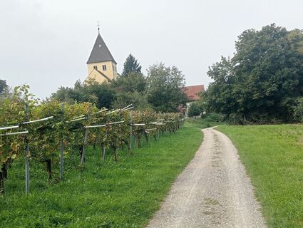
After a while, we turn right into Hermannus-Contractus-Straße. A wall passage leads to the monastery garden and the minster. From the minster, we cycle down Brugstraße, turn left into Schulstraße, and at its end, turn right then left again (it is still Schulstraße). Past the Burenhorn inn and the sports field, the path now leads to Niederzell, following the road at an angle until a path to the shore leads off on the right. On the right-hand side is the private garden Böhler, which is a member of the Limitless Garden Rendezvous and may be visited. Donations welcome.
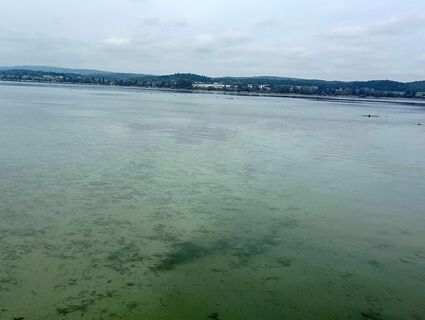
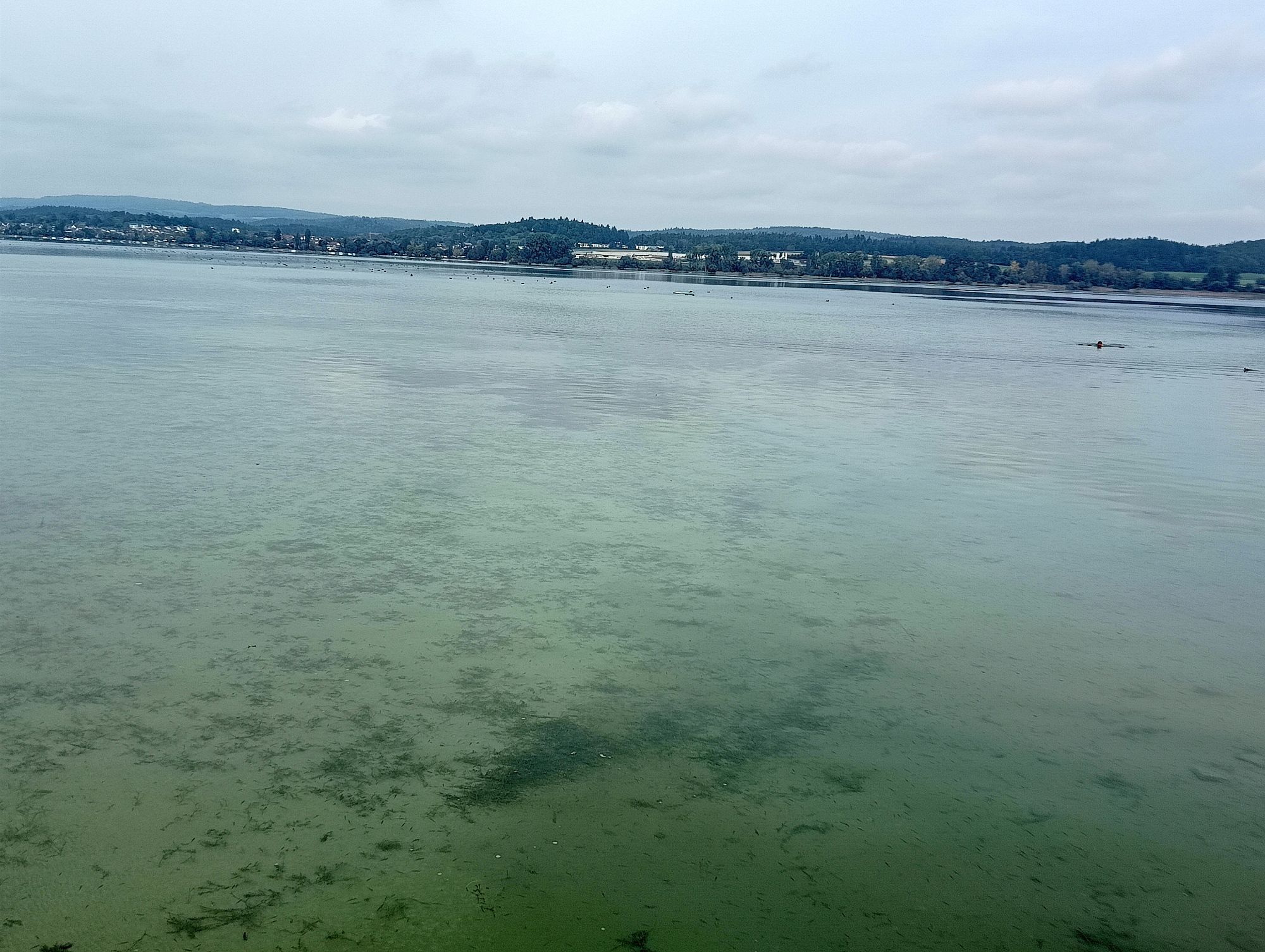
We follow the shore path until the street turns left to the church of St. Peter and Paul in Niederzell (straight ahead is prohibited for cyclists). This church is also worth a visit. Public toilets are located on Niederzeller Straße below the cemetery. From the boat landing, there is a view of Lake Gnadensee with Allensbach and past Bürgle to the Mettnau peninsula and the most famous island in the Lake Constance, the Liebesinsel (the final scene of the film The Fisherwoman of Lake Constance was filmed there).
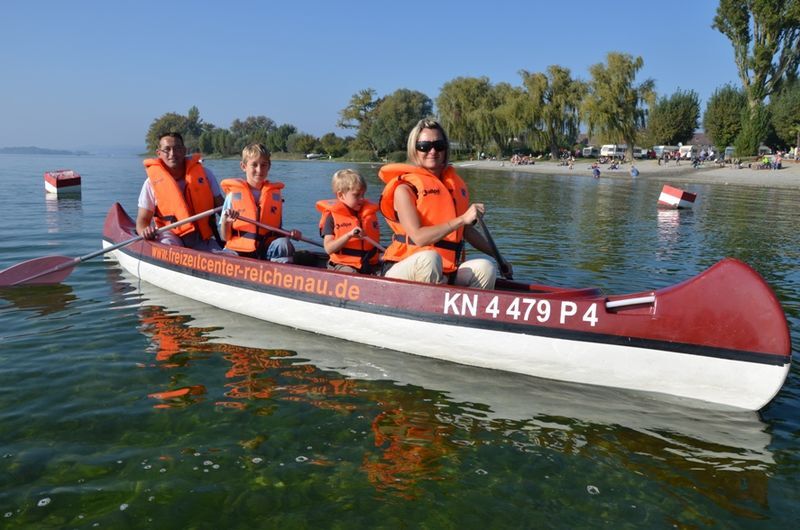
Then we cycle back on Niederzeller Straße, keeping straight for a long time, ignoring all side streets until we can follow a sign to the campsite on the right (there Niederzeller Straße is called "Zum Sandseele"). Here we shouldn't miss going for a swim in Lake Constance. In the evening, at sunset, the view of Hegau and Untersee is fantastic.
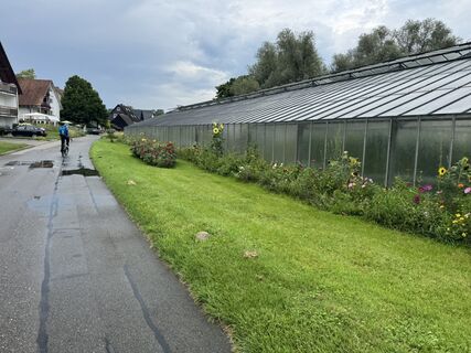
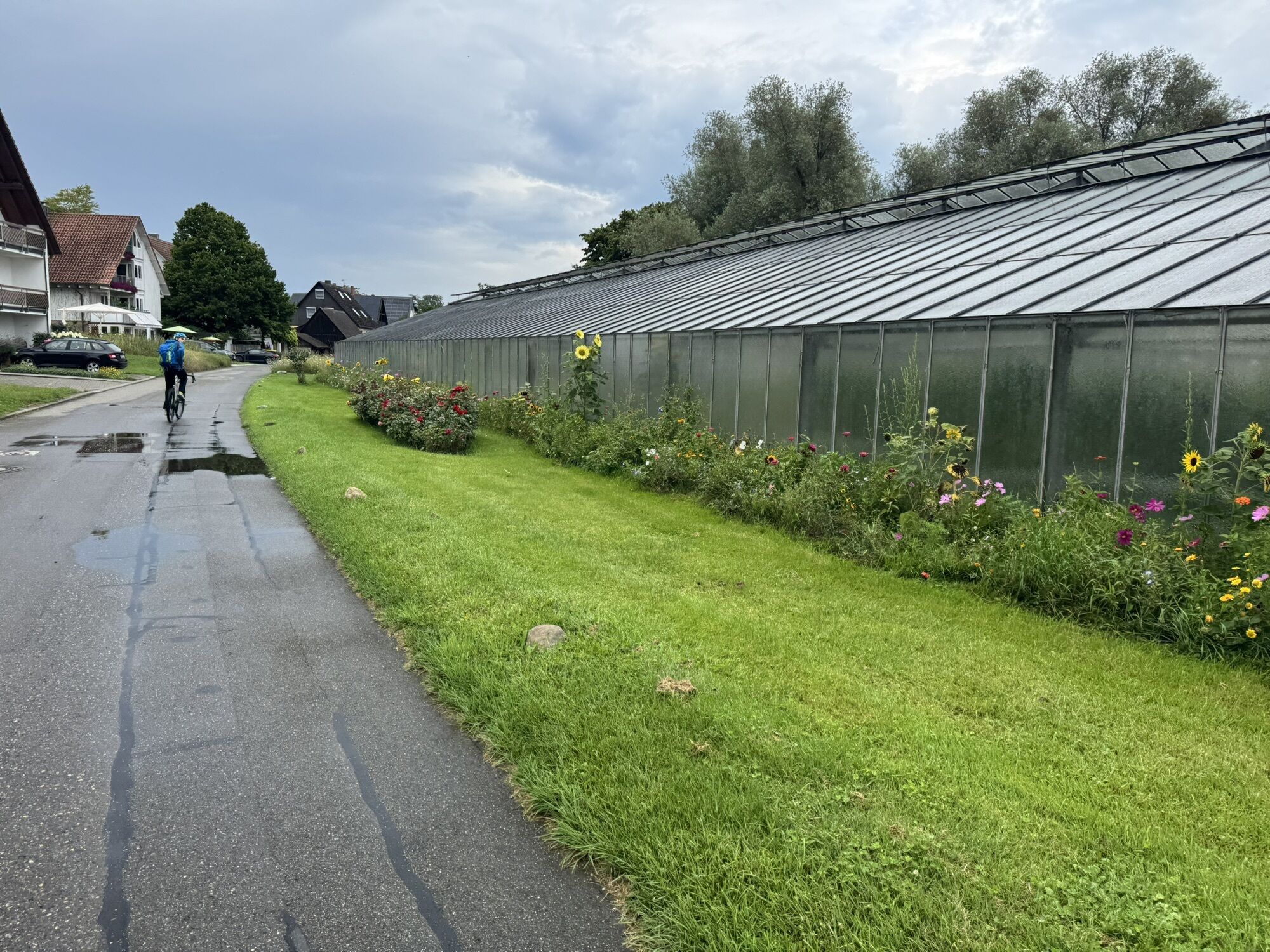
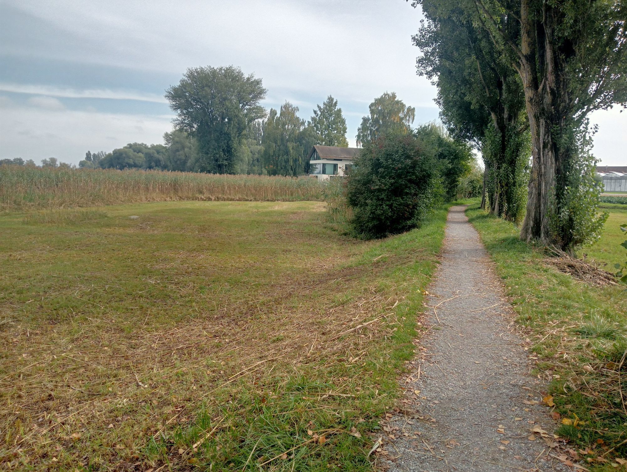
Since the shore path is closed to cyclists, we follow Bradlengasse, turn right into Untere Rheinstraße until Melcherleshorn turns off to the left. The shore path is closed to cyclists, so we cycle through vegetable fields and between greenhouses. The cycle path is now marked on the ground. We go down Stedigasse to the boat landing; those who want can take the ferry from here back to Konstanz.
We continue through Thurgauer Weg into Schlossstraße, then into Lilli-Braumann-Honsell-Weg (by the way, her book Kleine Welt - Große Welt is a recommended read for travelers to Lake Constance) and then up Markusstraße to Obere Rheinstraße. We cross this and diagonally opposite turn into Hochwartstraße. The second right leads through vineyards to the highest point on the island. In the former tea house, a craftswoman now works. On sunny warm days, she offers cake and drinks on the meadow in front of her studio.
Past Hochwart, we keep right, turn left into Obere Rheinstraße. In the right-hand curve, we can still follow the island shore straight ahead (In der Abtswiese and Im Streichen) until we reach the cycle path over the island dam to the mainland again.
We cycle back to the mainland and continue straight ahead on Kindlebildstraße, before the railroad crossing turn right onto the cycle path to Konstanz along the railway to Petershausen station. At the railroad crossing, follow the bicycle street to the bicycle bridge.
Alternatively, past Reichenau station and straight ahead up Lindenallee. On the left are the buildings of the psychiatric clinic Reichenau. We go down Feuersteinstraße, cross Kindlebildstraße, follow the cycle path over the bridge. Now turn right, through a small forest to Eichbühlstraße. Turn right into Mühlenweg, follow the narrow path straight ahead and then turn left until Brandenburgstraße. Right and the next left again, this is all Brandenburgstraße, which after the intersection becomes Breslauer Straße. Now it goes more or less straight through the Fürstenberg residential area to the former Cherisy barracks, which we also pass through. At the traffic lights, straight ahead into Bücklestraße, continue into Steinstraße to the bicycle street in Petershausen (right into Jahnstraße, after the railroad crossing it is called Petershauser Straße). Right leads to the starting point bicycle bridge, straight ahead to the ice cream café Pamparin.
Ja
Don't forget sun protection, swimwear, and a backpack or panniers for the vegetable or fruit shopping!
B98 to Kreuz Hegau exit, then continue on the country road to Konstanz
By train to Konstanz
There are signposted parking spaces in Konstanz
2
Tourist information Reichenau, www.reichenau.de
If we have enough time, we should stay at the bathing spot near the Sandseele campsite until sunset, which creates a very romantic atmosphere.
Webkameraer fra turen
-
Allensbach - Gnadensee / Bodensee
-
Konstanz - Sport Gruner
-
Konstanz Fährehafen
-
Gaienhofen-Horn, Kirchgasse
-
Staad, Segler-Verein Staad
-
Webcam vom LAGO Shopping-Center in Konstanz am Bodensee
-
Steigenberger Inselhotel
-
Steigenberger Inselhotel
-
Steigenberger Inselhotel
-
Steigenberger Inselhotel
-
Allensbach am Bodensee
-
Steigenberger Inselhotel
-
Staad, Segler-Verein Staad
Populære turer i nabolaget
-
4,0
Vom Bahnhof Konstanz entlang des Bodenseeufers zur Insel Mainau
middelsVandring 10,4 km -
4,0
Around the island of Reichenau
lysVandring 10,9 km -
3,7
Mindelsee-Runde
lysVandring 7,83 km -
4,0
Bodanrück-Runde
tungVandring 8,36 km -
5,0
Mühlsberg-Runde
middelsVandring 8,67 km -
3,7
Firstweg Langenmos
middelsVandring 5,76 km -
Nature enjoyment on the circular hiking route with a view of Freudental Castle
lysVandring 5,67 km -
Hike on the panorama route of the Höri Peninsula
middelsVandring 8,11 km -
Hegne circular route
lysVandring 4,26 km -
5,0
Natur & Kultur - Rundtour entlang des Überlinger Sees
lysSykling 32,7 km
Vandring og sporing


Ikke gå glipp av tilbud og inspirasjon til din neste ferie
E-postadressen din har blitt lagt til på adresselisten.