


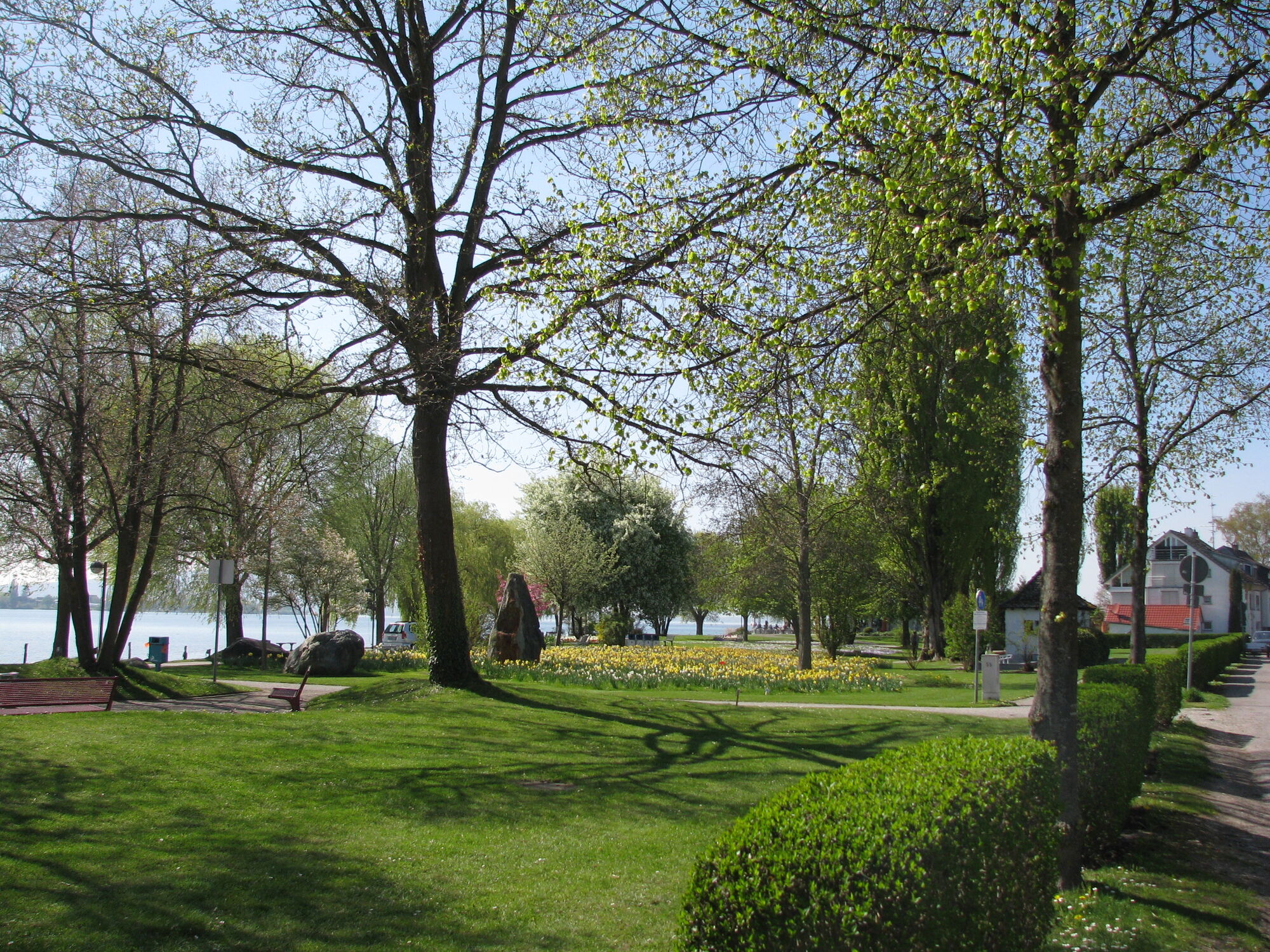
The Lower Lake circular route on the western Lake Constance is perfect as a day trip for active and adventurous people. The cycle paths are always close to the lake shore and pass by bathing places, viewpoints,...
The Lower Lake circular route on the western Lake Constance is perfect as a day trip for active and adventurous people. The cycle paths are always close to the lake shore and pass by bathing places, viewpoints, and refreshment options.

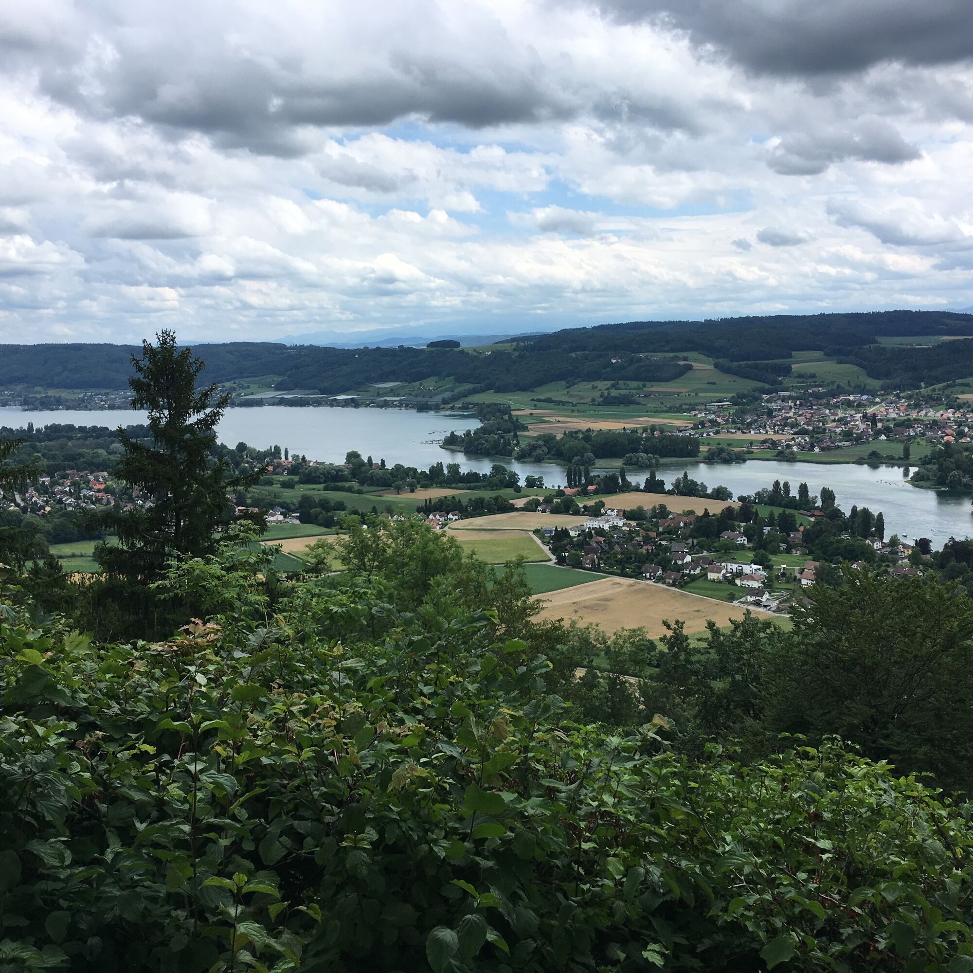
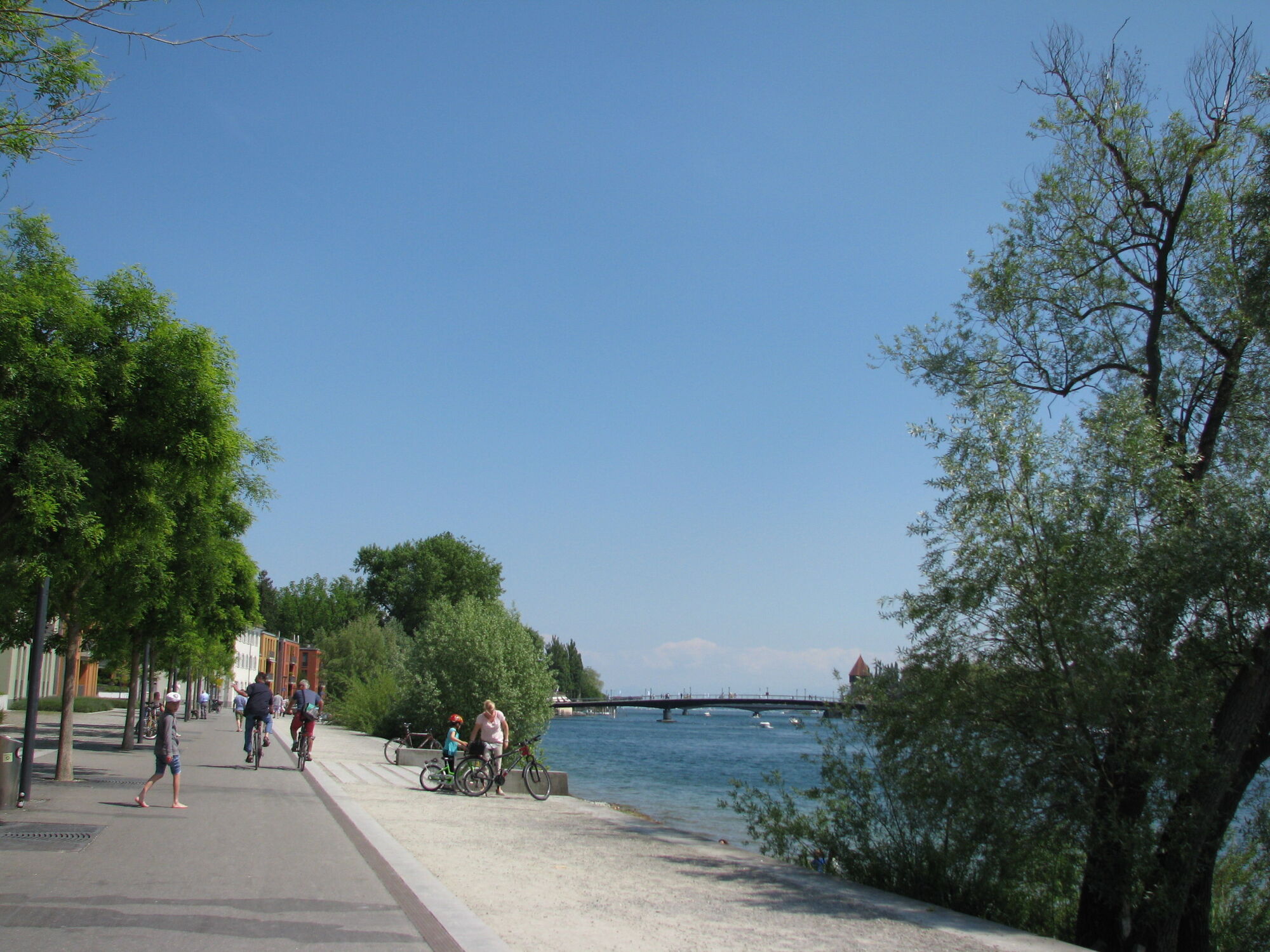
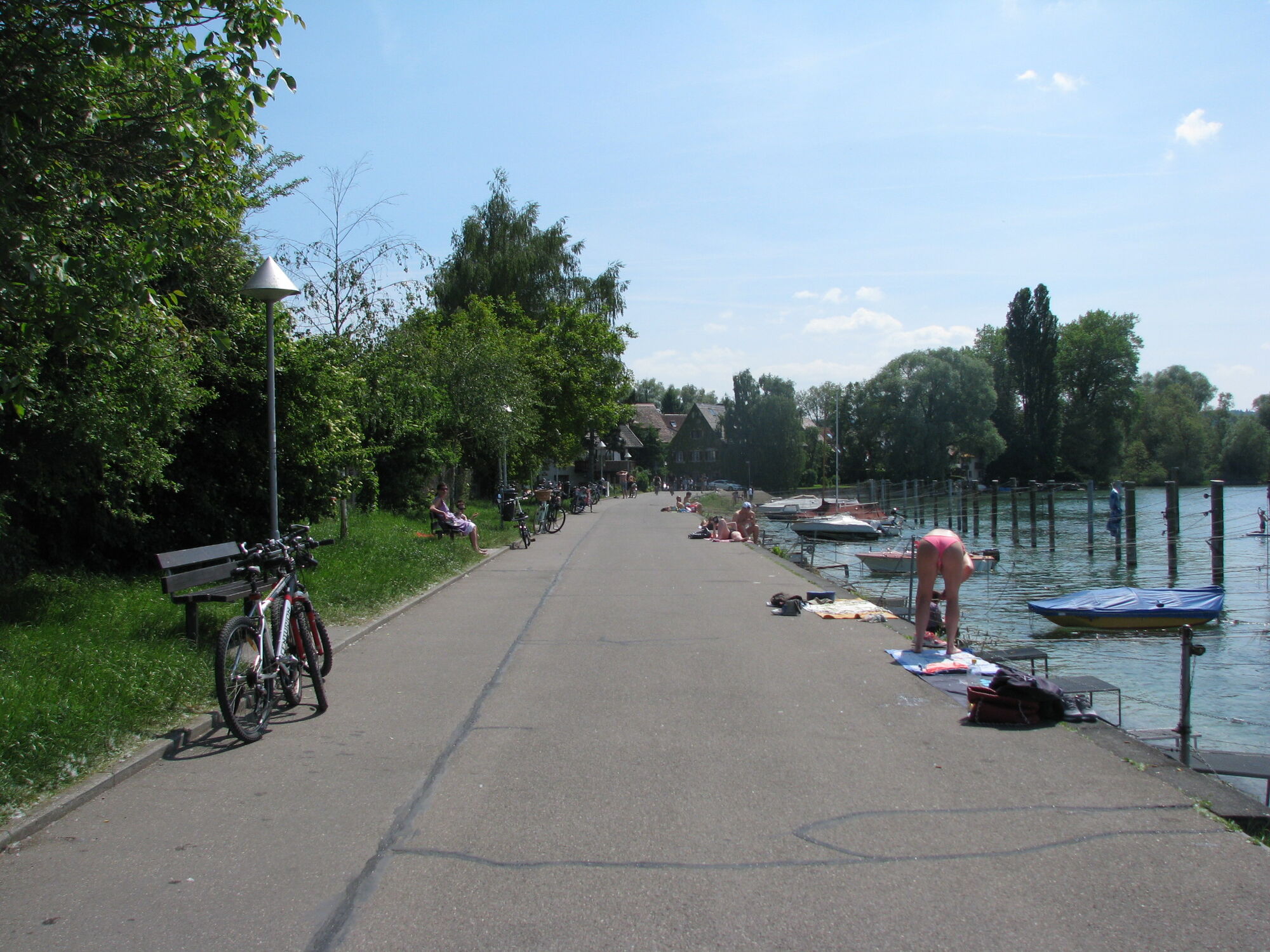
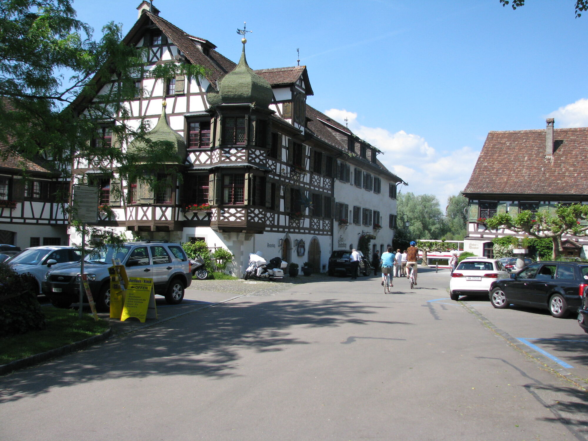
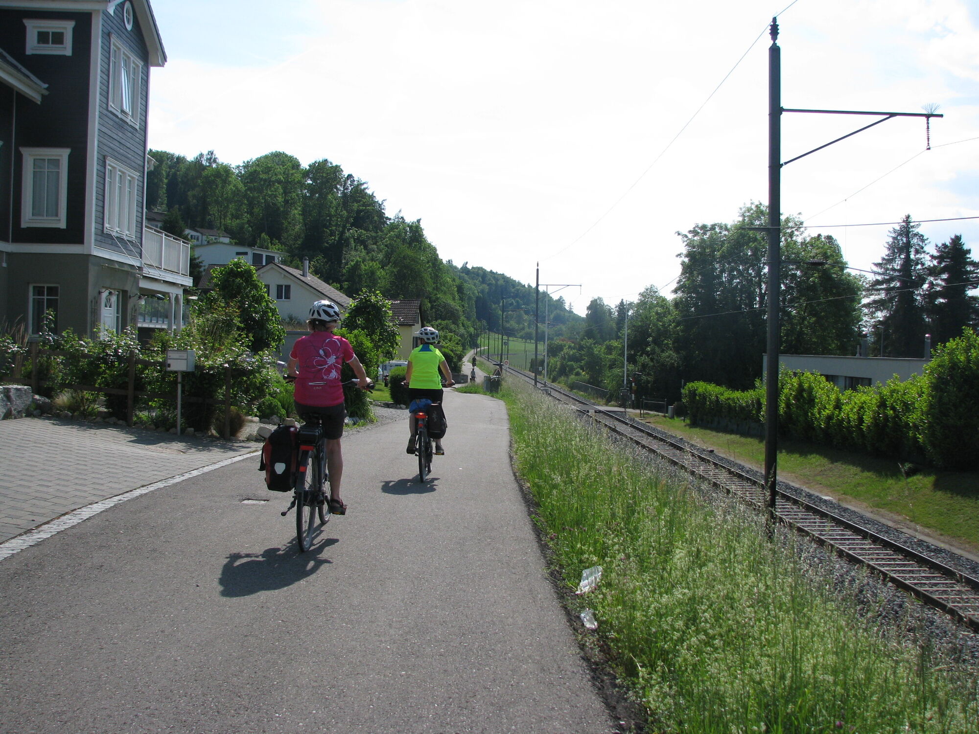
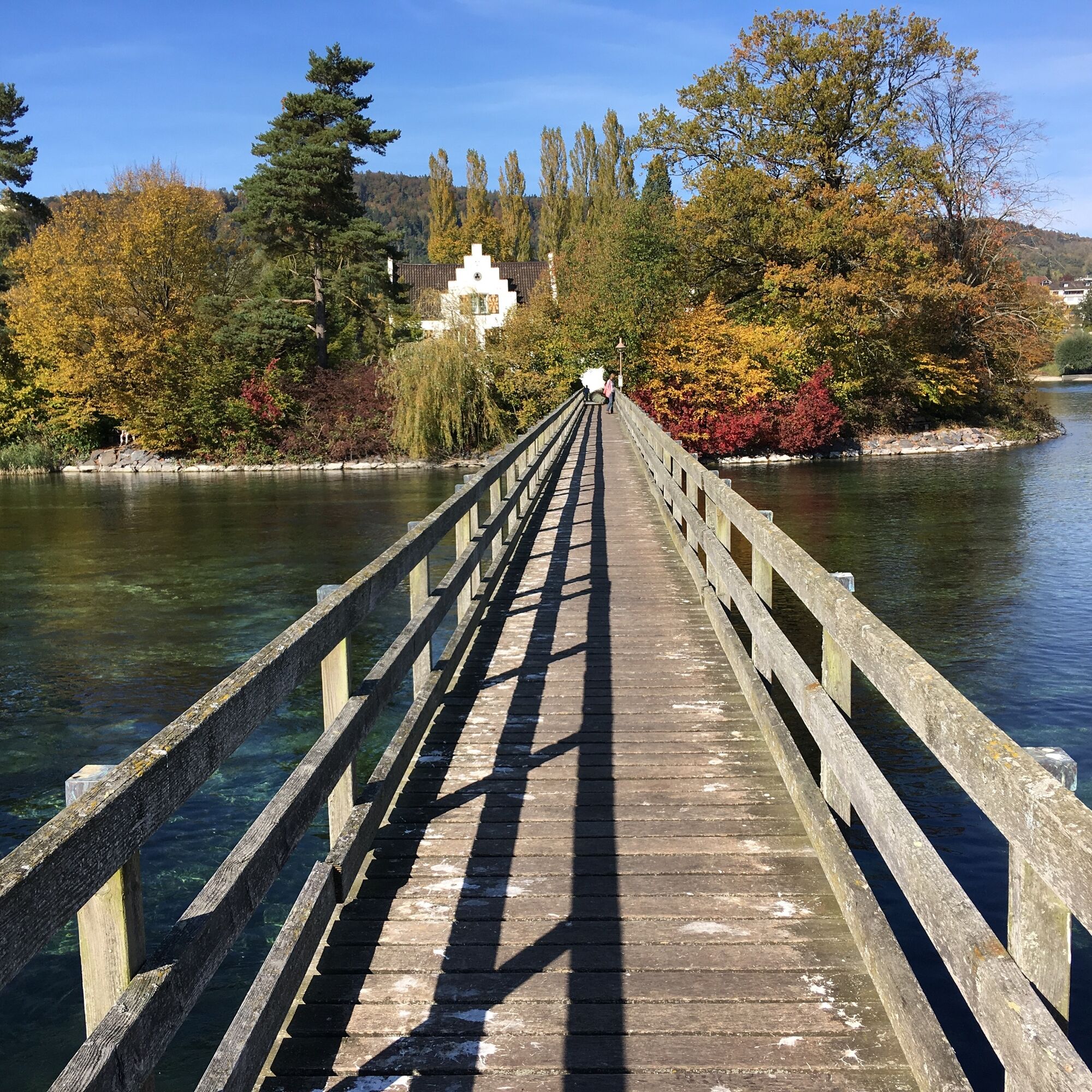
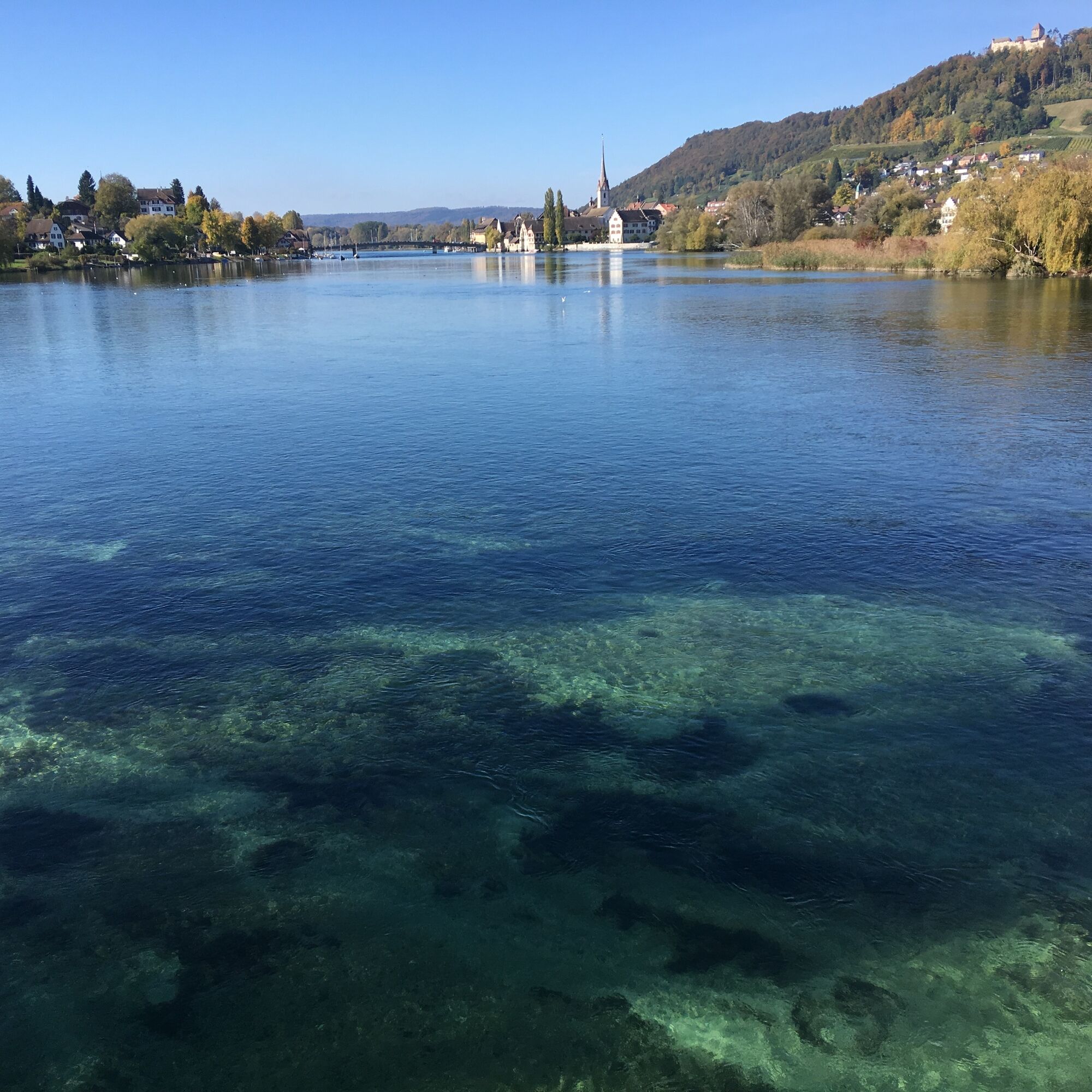
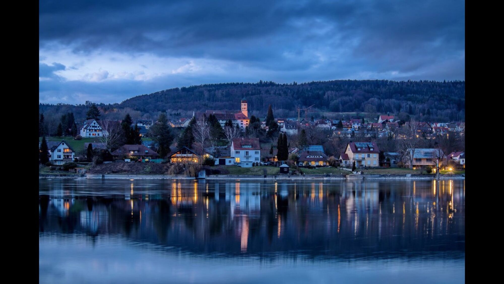
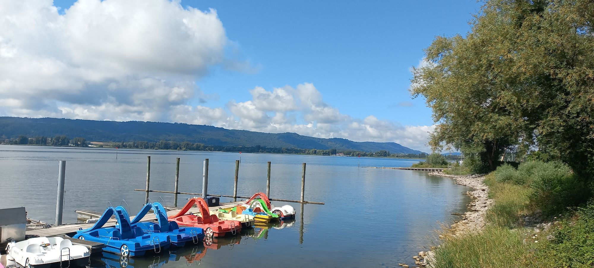
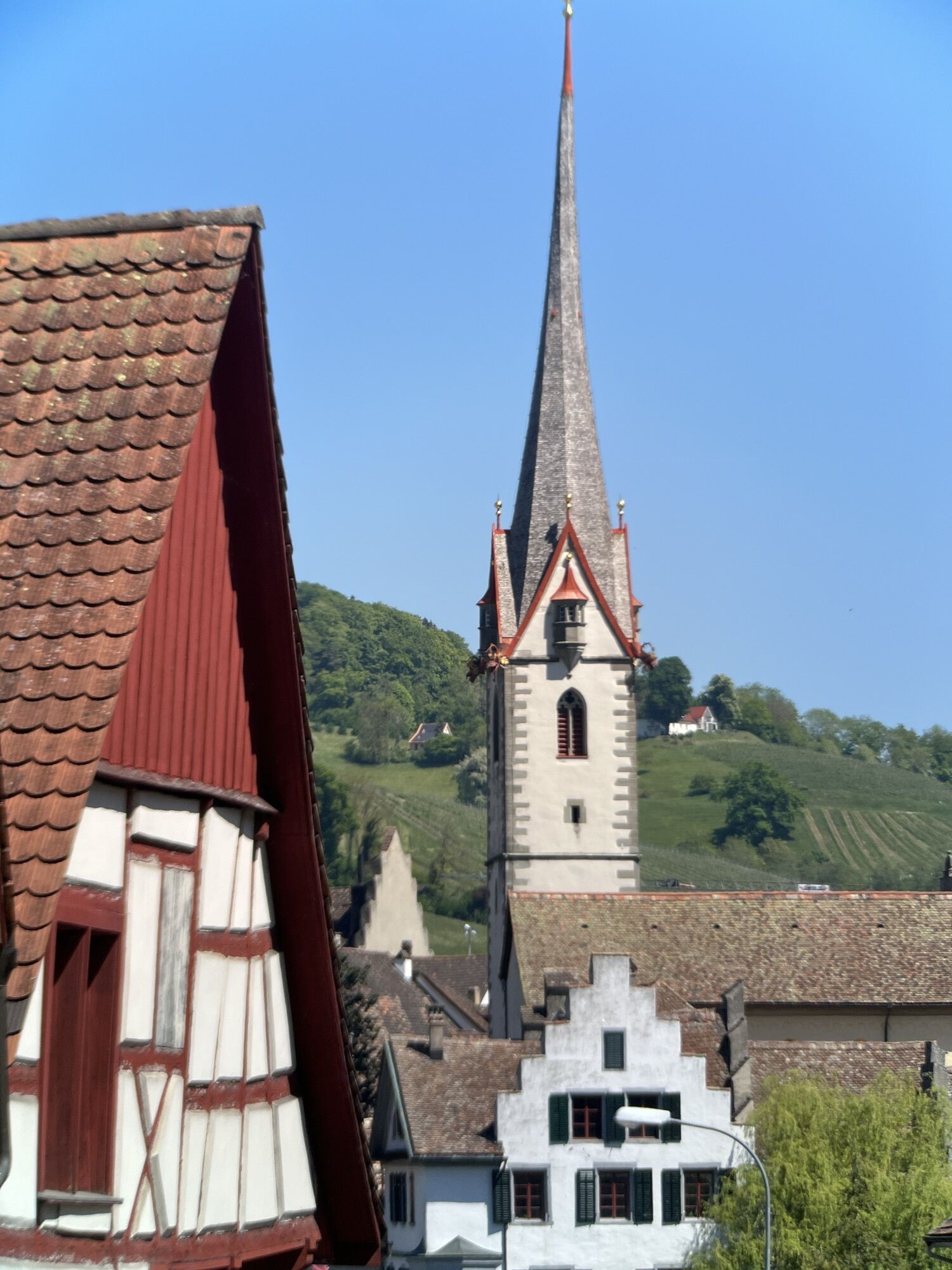
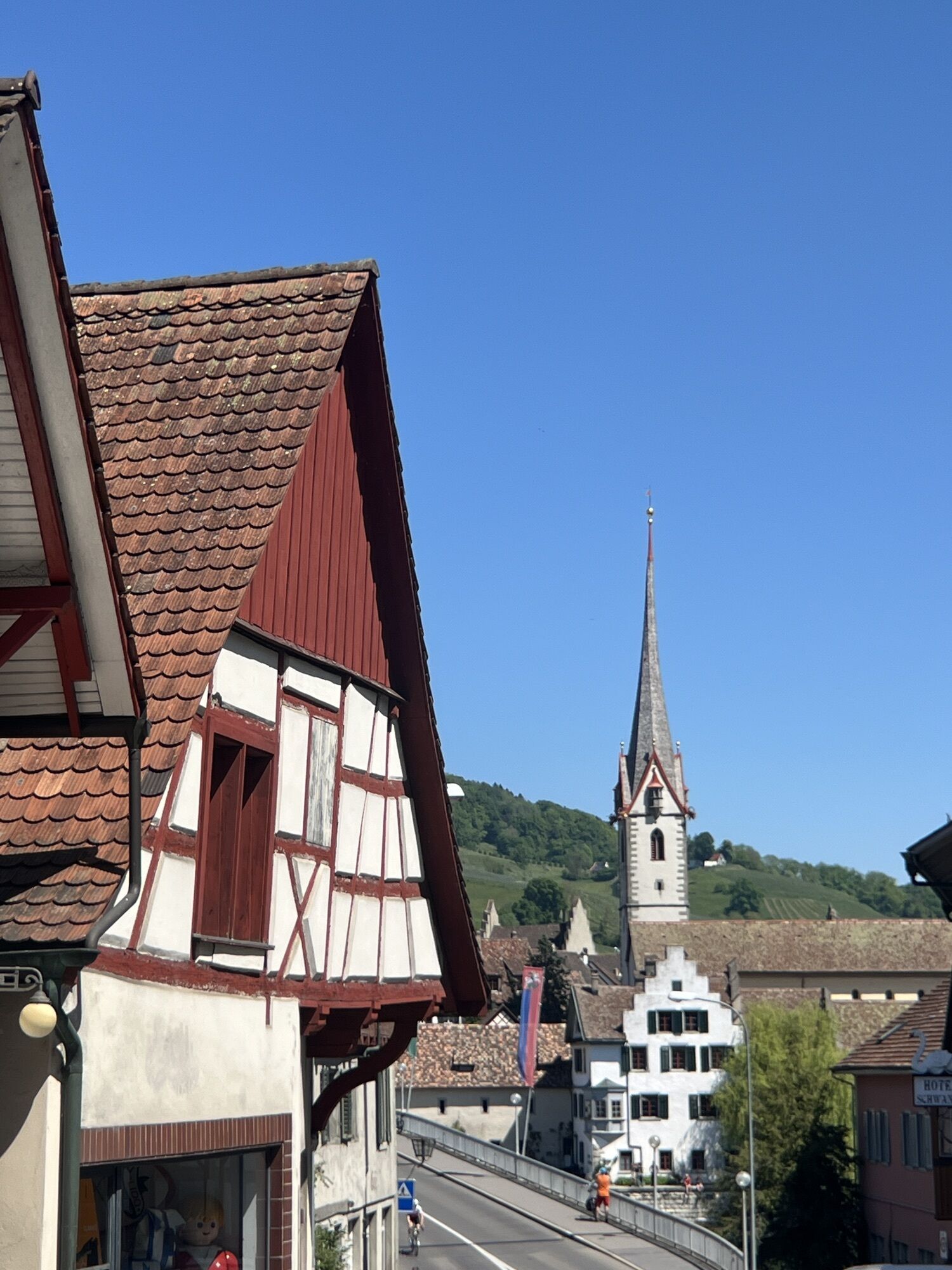
Start at the ship landing stage Öhningen directly on the Lake Constance cycle route but also possible from any other Höri town. The route leads through the towns of Höri, via Radolfzell, Markelfingen, Allensbach, and Wollmatingen to Konstanz. In Konstanz, the cycle path crosses via the bicycle bridge to the left Rhine side towards the Swiss border. After crossing the border, you can leave the cycle path and reach Gottlieben on an idyllic path directly by the Seerhein. From Gottlieben continue on the Lake Constance cycle route to Stein am Rhein. Between Mammern and Eschenz, a path leads along the shore to Werd Island and further to the bridge to Stein am Rhein. After crossing the bridge in Stein am Rhein, the cycle path leads directly back to the starting point. This route passes many ship landing stages, so it can also be made variable with a shortcut by ship.
Ja
Ja
Roadworthy bicycle, helmet, and ID
Arrival by ship from Konstanz, Reichenau, Stein am Rhein, Schaffhausen, etc. possible, www.urh.ch. Unfortunately, the Höri buses of Südbadenbus GmbH do not carry bicycles.
Directly at the ship landing stage
This route passes all ship landing stages, so it can also be made variable and shortened by ship.
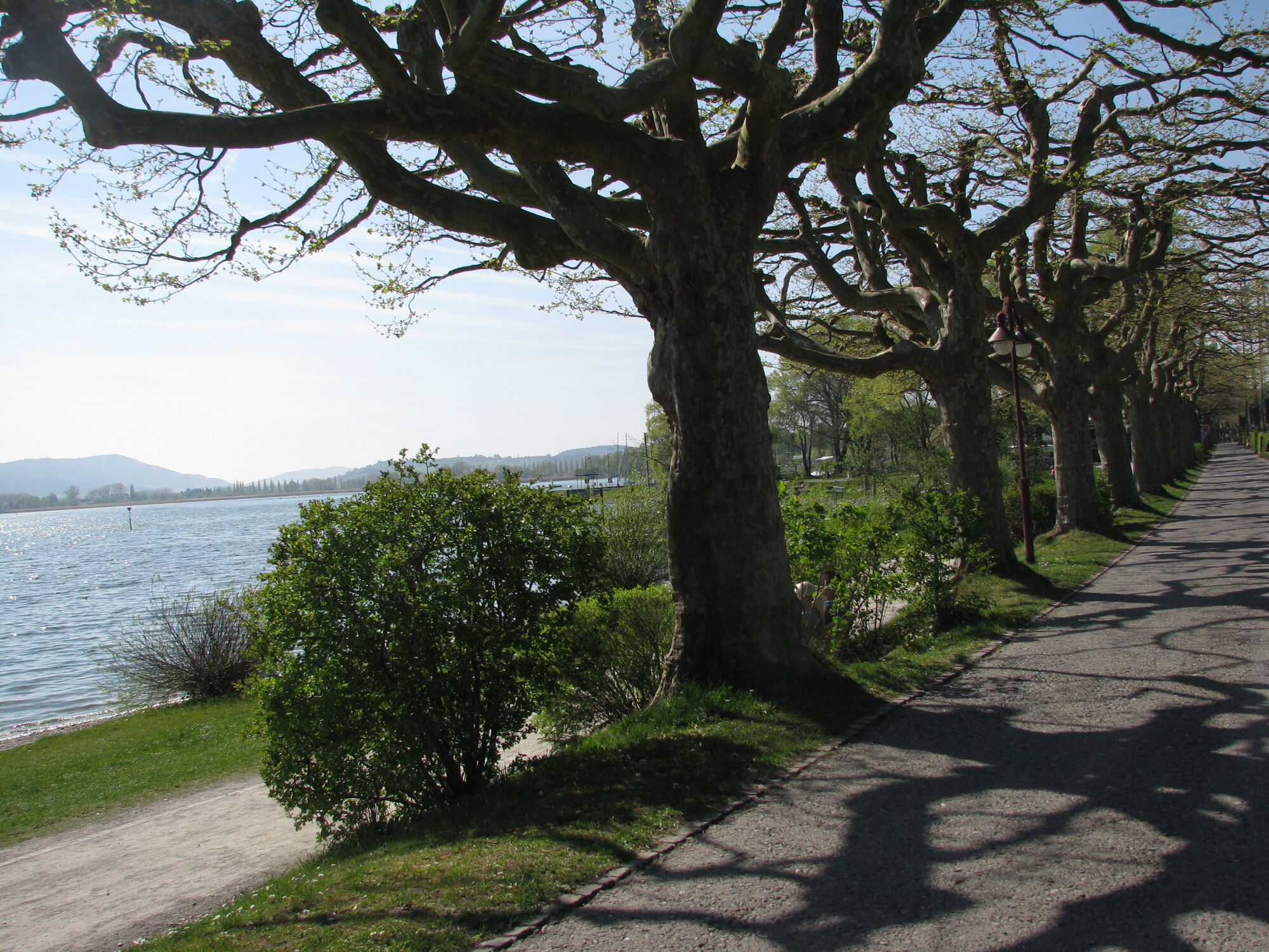
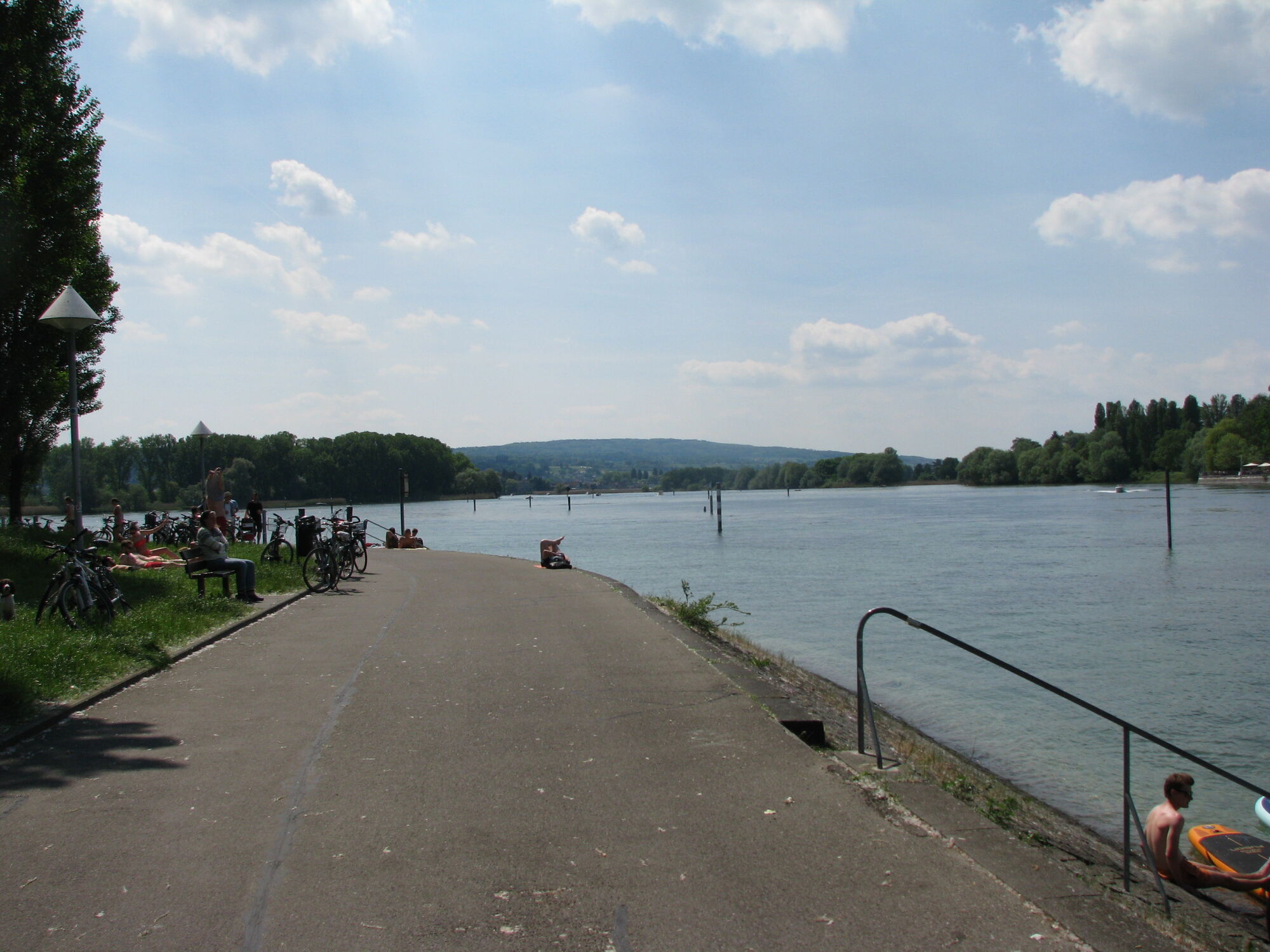
Especially worth seeing is the Rhine street (path) between Konstanz, Tägerwilen, and Gottlieben, as well as a detour to Werd Island.
During the shipping season, the route can also be shortened arbitrarily over the water!
Webkameraer fra turen
-
Allensbach - Gnadensee / Bodensee
-
Radolfzell am Bodensee
-
Radolfzell - Hafen
-
Lipperswil
-
Konstanz - Sport Gruner
-
Konstanz Fährehafen
-
Windcam Surfplatz Steckborn
-
Gaienhofen-Horn, Kirchgasse
-
Staad, Segler-Verein Staad
-
Webcam vom LAGO Shopping-Center in Konstanz am Bodensee
-
Steigenberger Inselhotel
-
Steigenberger Inselhotel
-
Steigenberger Inselhotel
-
Steigenberger Inselhotel
-
Allensbach am Bodensee
-
Steigenberger Inselhotel
-
Staad, Segler-Verein Staad
-
Burg Hohenklingen
Populære turer i nabolaget
-
4,0
Vom Bahnhof Konstanz entlang des Bodenseeufers zur Insel Mainau
middelsVandring 10,4 km -
4,0
Around the island of Reichenau
lysVandring 10,9 km -
3,7
Mindelsee-Runde
lysVandring 7,83 km -
4,0
Bodanrück-Runde
tungVandring 8,36 km -
5,0
Mühlsberg-Runde
middelsVandring 8,67 km -
3,7
Firstweg Langenmos
middelsVandring 5,76 km -
Nature enjoyment on the circular hiking route with a view of Freudental Castle
lysVandring 5,67 km -
Hike on the panorama route of the Höri Peninsula
middelsVandring 8,11 km -
Hegne circular route
lysVandring 4,26 km -
4,0
Homburg-Steig
middelsVandring 5,83 km
Vandring og sporing


Ikke gå glipp av tilbud og inspirasjon til din neste ferie
E-postadressen din har blitt lagt til på adresselisten.