


Vanskelighetsgrad: 2


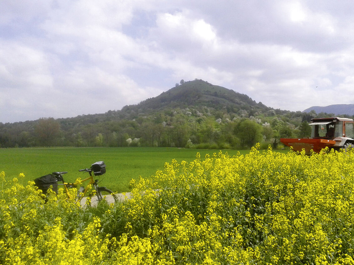
From Kirchheim, it goes right through the beautiful landscape of the Albvorland. Neidlingen impresses with lovingly restored half-timbered houses and the nearby waterfall. The Reußenstein castle ruins...
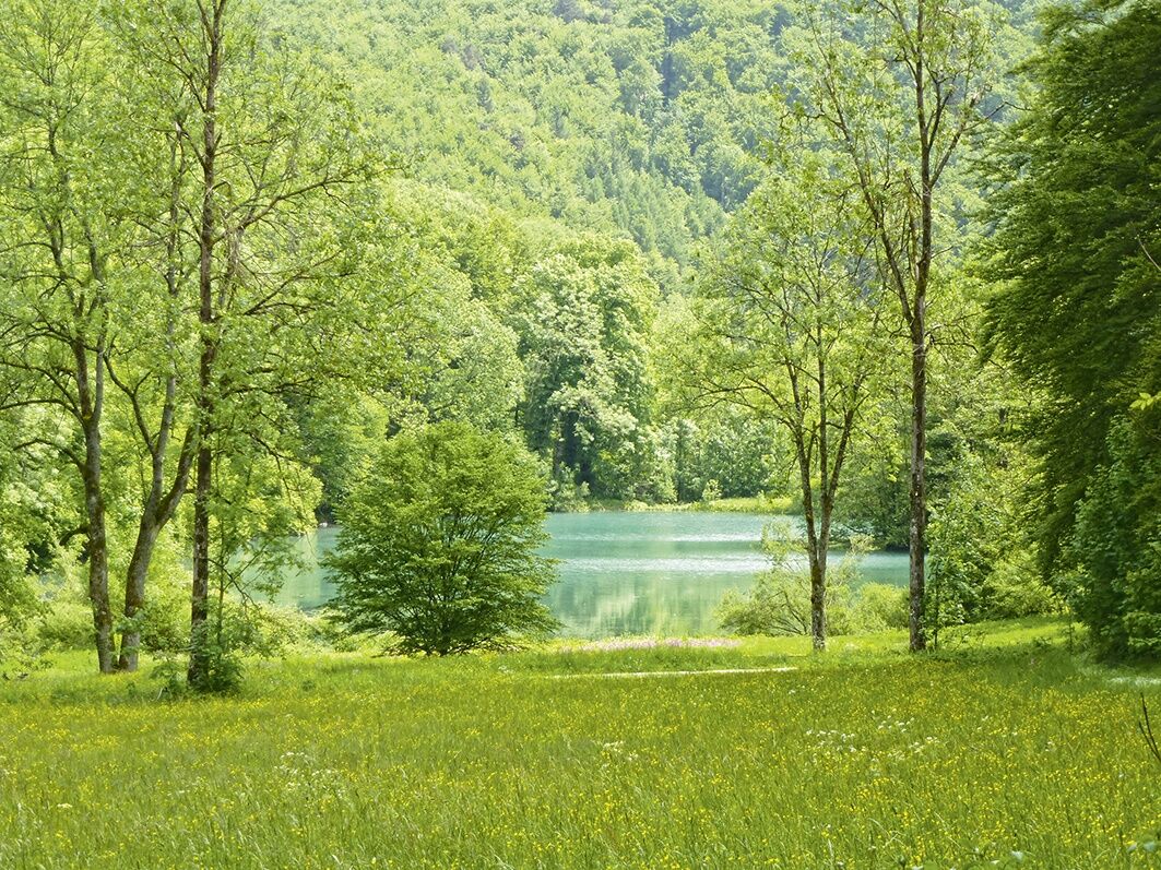
From Kirchheim, it goes right through the beautiful landscape of the Albvorland. Neidlingen impresses with lovingly restored half-timbered houses and the nearby waterfall. The Reußenstein castle ruins are not far away either. At the church in Donnstetten, the highest located community in the district, Roman wells were discovered, to the east of the village are remains of a bathhouse, and to the south stood the Roman fort "Clarenna." In Grabenstetten, a stop at the orchard nature trail is worthwhile, offering good insight into the diversity of local ecosystems. Shortly before Bad Urach is the Kaltentalweiher, a quiet forest lake inviting cooling off and refreshment. Bad Urach impresses with its historic late medieval old town and the former residence castle. The Hohenurach castle ruins and the Urach waterfall are also highly worth seeing. After the bike ride, the AlbThermen with pure thermal mineral water invite you to relax.


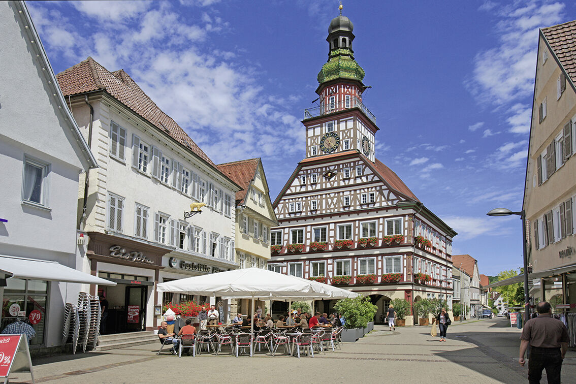
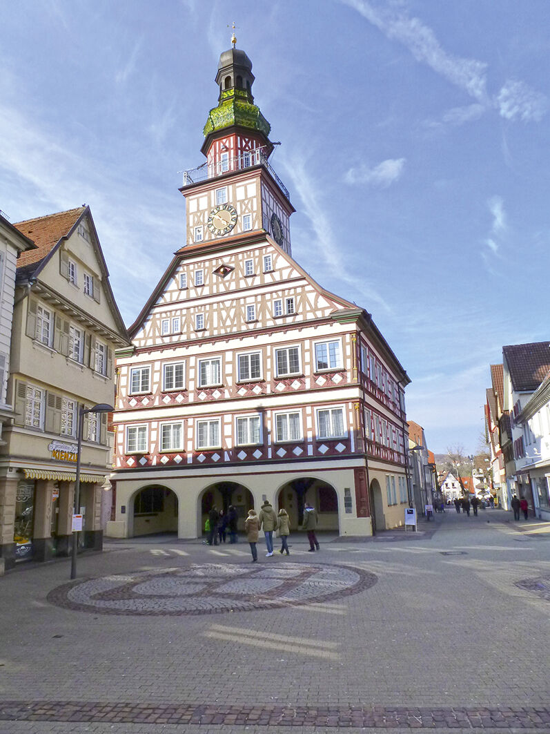
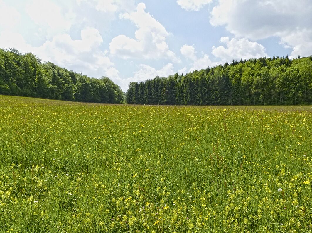
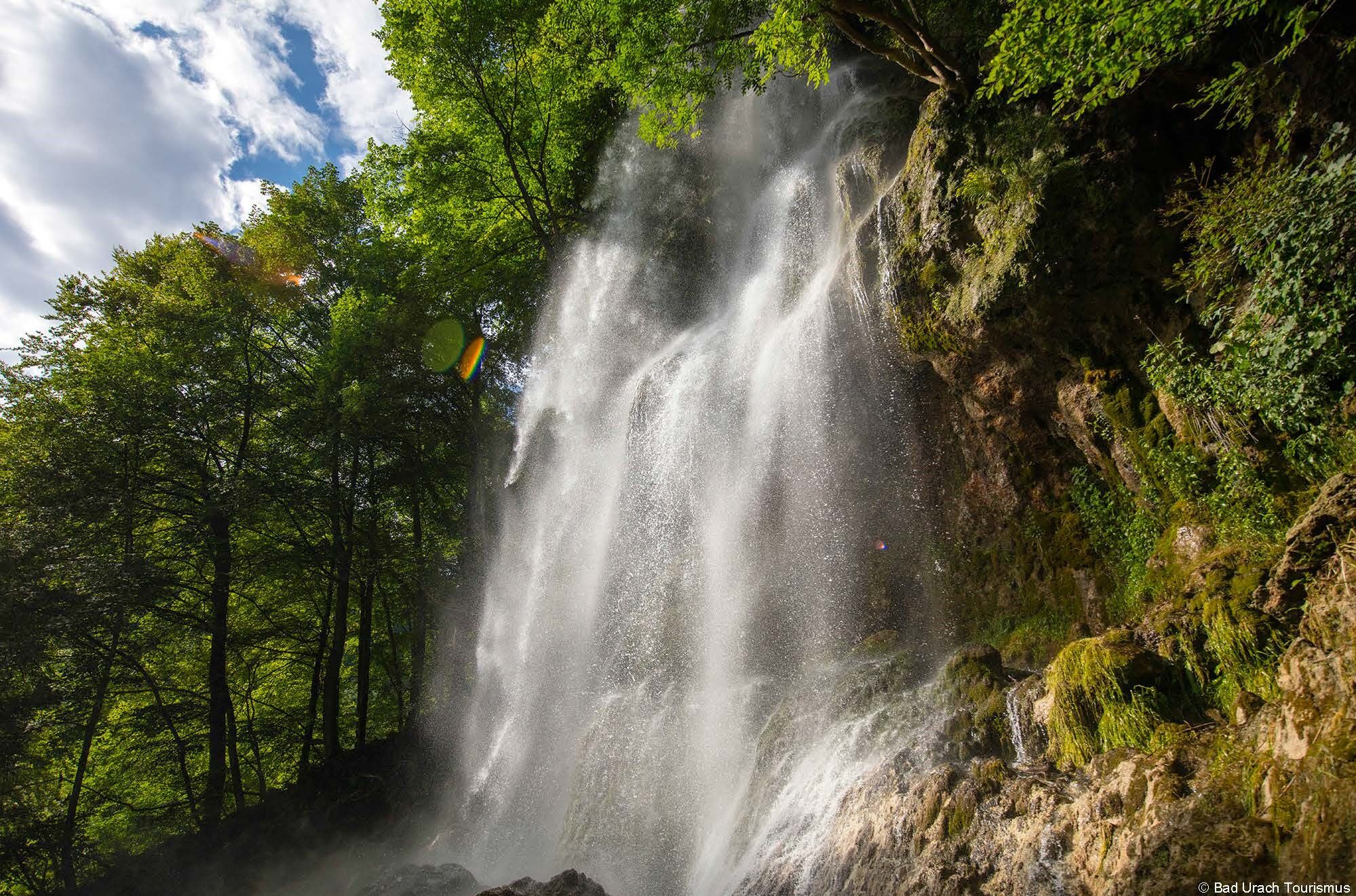
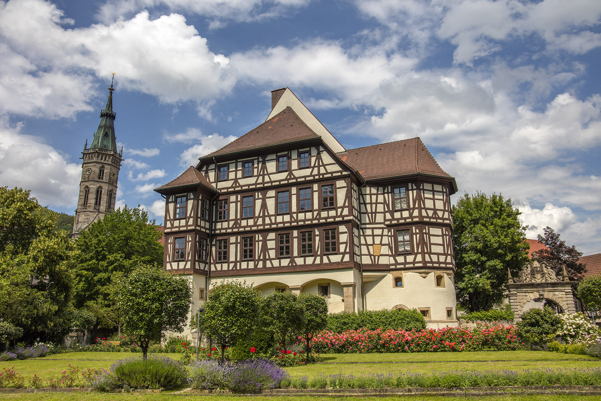
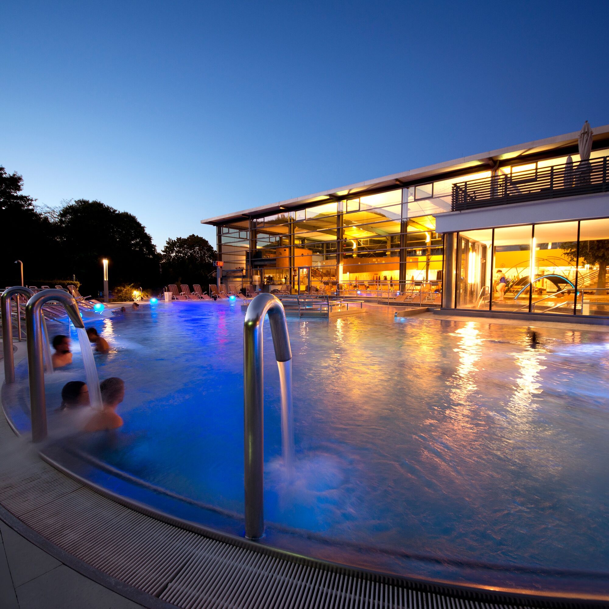
Starting from Kirchheim unter Teck, which impresses with its well-preserved historic old town, its markets, or the Literary Museum in the Max-Eyth-Haus, the route continues along the Teck mountain and the castle visible from afar. Orchards, old volcanic vents, and the view of Alb rocks and castles make the landscape charming. Behind Neidlingen with its town hall clock with figurine show follows the ascent to the Alb plateau at the Reußenstein ruins. The romantic castle ruin towers directly on the rock needle of the steep limestone cliff. The castle is also the setting of the legend of "Giant Heim." Once at the top, a detour to the Schertel Cave, one of the most impressive dripstone caves of the Swabian Alb, is worthwhile. Equally worth seeing is the Schopfloch peat bog with the nearby nature conservation center. Also worthwhile is a detour to the Römerstein observation tower, from which you have a magnificent view into the Lauter valley and the Alpine foothills, to the northeast into the Filstal, and all around to the Alb plateau. After so much height, it then goes down into the valley of the Erms. Arriving in Bad Urach, the town awarded as a spa and climatic health resort invites you to linger through the AlbThermen as well as its late medieval old town with former residence castle.
Bicycle helmet, repair kit, cycling gloves, sun protection, provisions, and drinking water
Accessible via A8 and B297
By regional trains and S-Bahn from Herrenberg and Oberlenningen
Parking lots in the urban area of Kirchheim unter Teck
2
In Grabenstetten, history enthusiasts will find the Celtic Museum and the Heidengraben, a Celtic rampart.
Webkameraer fra turen
Populære turer i nabolaget
-
4,8
Wasserfallsteig Bad Urach
middelsVandring 10,2 km -
4,0
Bad Urach Wasserfälle Rundwanderung
middelsVandring 11,4 km -
5,0
Löwenpfad "Berta-Hörnle-Tour" - Castle stories in a dreamlike setting
middelsVandring 14,5 km -
5,0
Löwenpfad "Filsursprung-Runde" - pure nature around Reußenstein
middelsVandring 14,0 km -
4,8
Hohenwittlingensteig Bad Urach
middelsVandring 6,48 km -
4,8
Hohenurachsteig Bad Urach
middelsVandring 7,65 km -
4,0
Bad Urach Wasserfall, Runde von Buchhalde
middelsVandring 12,1 km -
Trauf, Höllenlöcher, Wasserfälle und Tal
middelsVandring 15,8 km -
5,0
Lenningen: Weiße Lauter, Wasserfels, Guttenberger-,Gußmannshöhle, Schopflocher Moor, Hohgreutfels, Ruine Wielandstein
middelsVandring 15,7 km -
4,0
Seeburgsteig Bad Urach
middelsVandring 8,19 km

Vandring og sporing


Ikke gå glipp av tilbud og inspirasjon til din neste ferie
E-postadressen din har blitt lagt til på adresselisten.