© Tourismusagentur Ostbelgien - Markus Balkow
© Tourismusagentur Ostbelgien - Markus Balkow

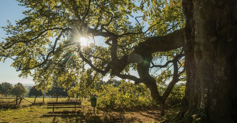
© Tourismusagentur Ostbelgien - Dominik Ketz

© Tourismusagentur Ostbelgien - Dominik Ketz

© Tourismusagentur Ostbelgien - Markus Balkow

- Kort beskrivelse
-
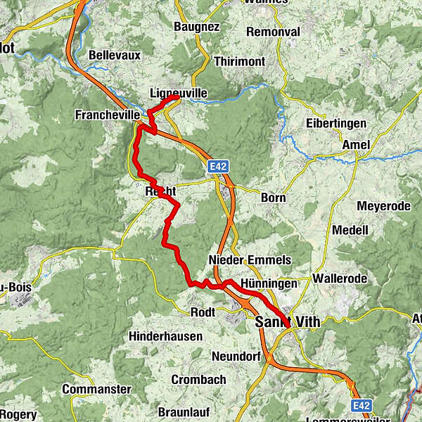
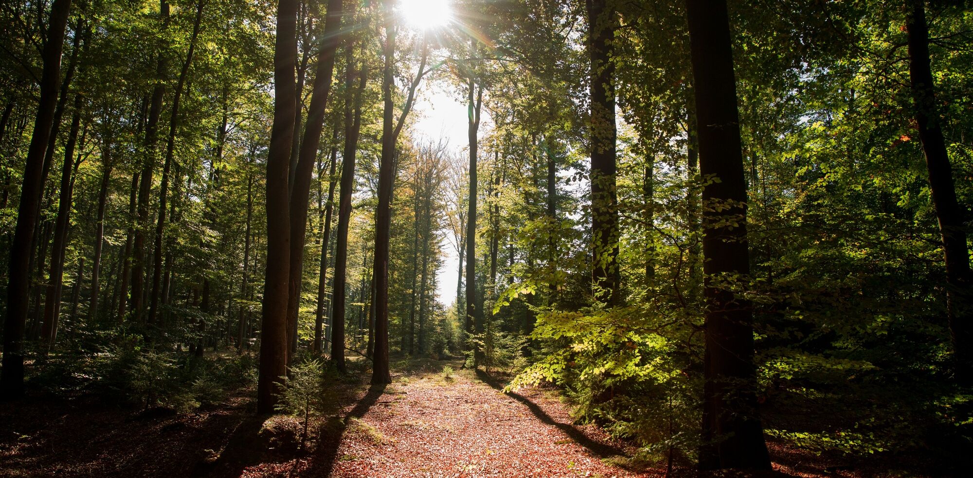
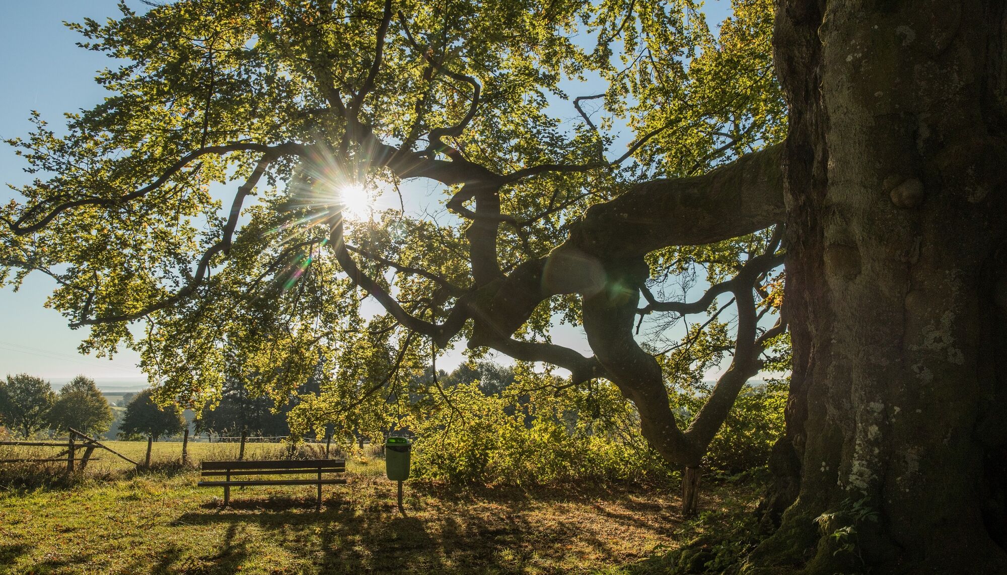
This GR stage takes you from St. Vith via Rodt and Recht to Ligneuville, where GR56 reconnects with the 'Amel variant'. There's a very varied hike awaiting you here.
- Vanskelighet
-
middels
- Evaluering
-
- Rute
-
Sankt VithOber Emmels3,8 kmSkihütte / Biermuseum (573 m)5,8 kmRecht11,2 kmChapelle Saint-Hubert17,1 kmBrücken17,2 kmEngelsdorf19,0 kmHôtel du Moulin19,0 kmÉglise Foi, Espérance et Charité19,0 km
- Beste sesong
-
jan.feb.marsaprilmaijunijuliaug.sep.okt.nov.des.
- Høyeste punkt
- 585 m
- Reisemål
-
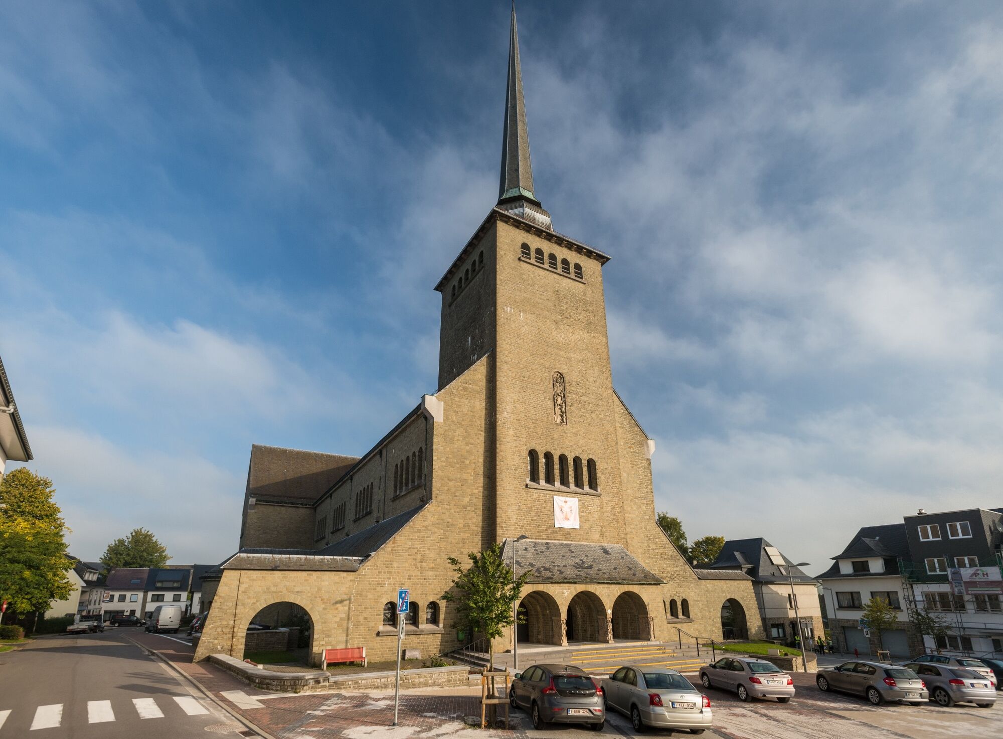
Ligneuville church. GPS coordinates 50,375385.6,054325
- Høydeprofil
-
 © outdooractive.com

- Forfatter
-
Turneen GR56 – St. Vith / Ligneuville brukes av outdooractive.com forutsatt.
GPS Downloads


Flere turer i regionene
-
Eifel/ Rheinland-Pfalz
1057
-
Hohes Venn
602
-
Weismes
120