© Agnieszka Wajs - Zermatt Tourismus
© Fabienne Fux-Schaller - Zermatt Tourismus
© Fabienne Fux-Schaller - Zermatt Tourismus

© Fabienne Fux-Schaller - Zermatt Tourismus

© Fabienne Fux-Schaller - Zermatt Tourismus
© Fabienne Fux-Schaller - Zermatt Tourismus

© Fabienne Fux-Schaller - Zermatt Tourismus

- Kort beskrivelse
-
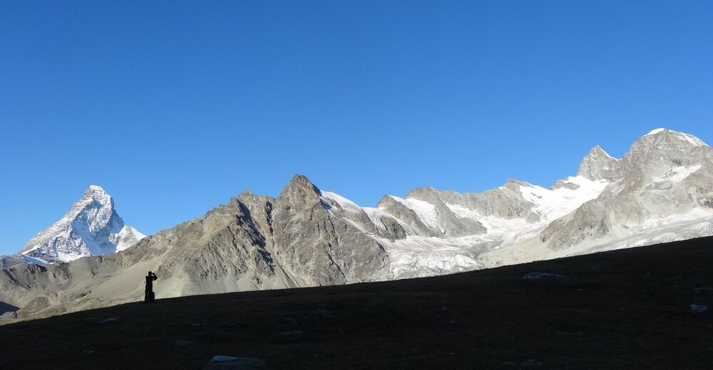
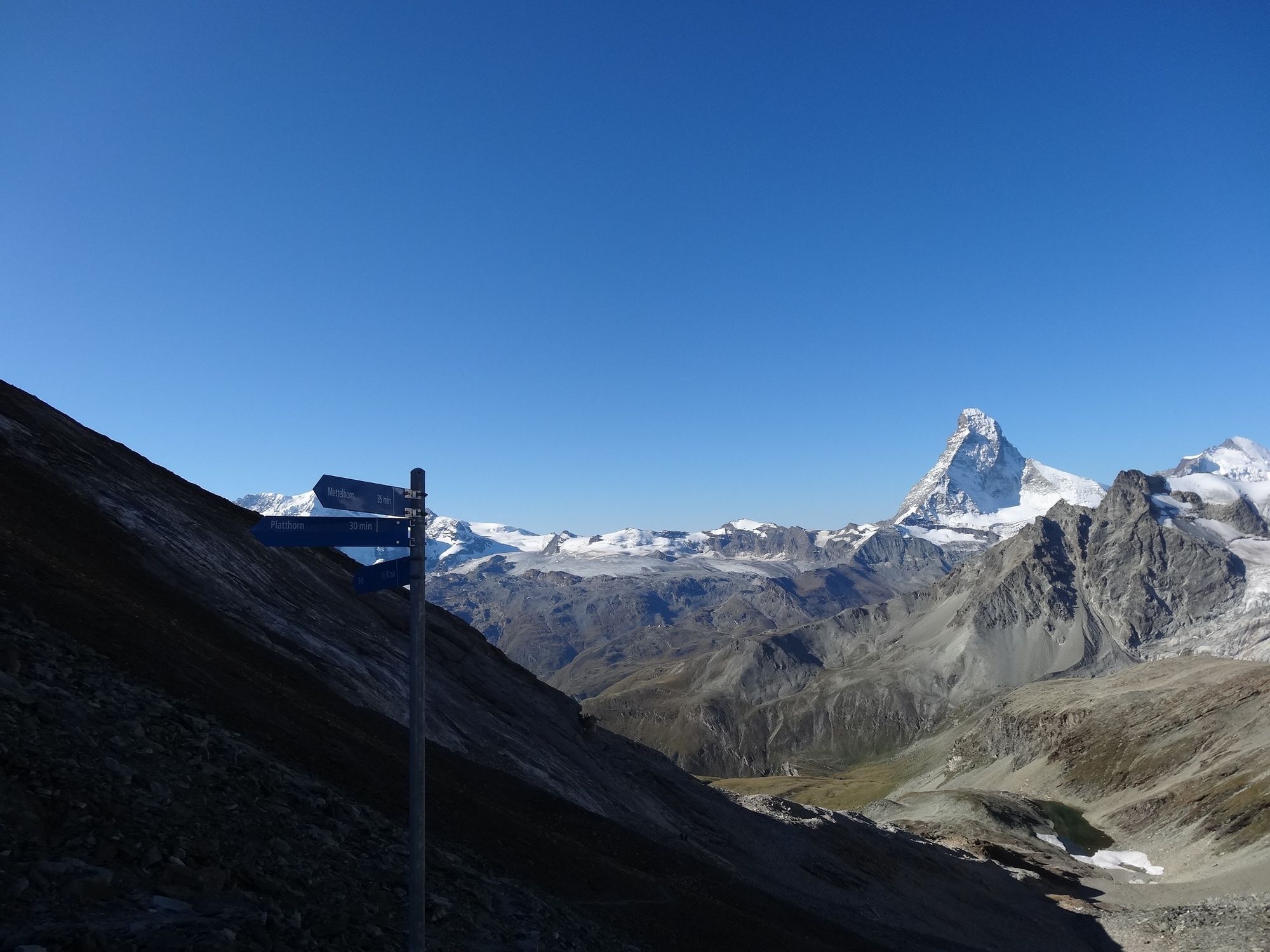
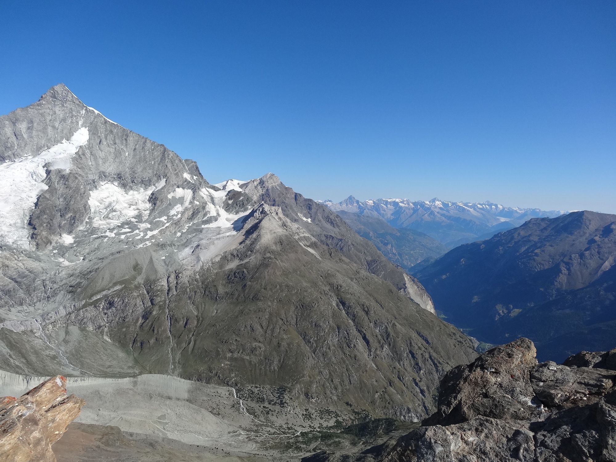
Both mountains, the Mettelhorn and the Platthorn, reveal totally unexpected views to the west: the summit of the Wellenkuppe with its wave of snow, and the Ober Gabelhorn with its dramatic rocky ridges.
- Vanskelighet
-
vanskelig
- Evaluering
-
- Rute
-
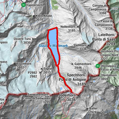
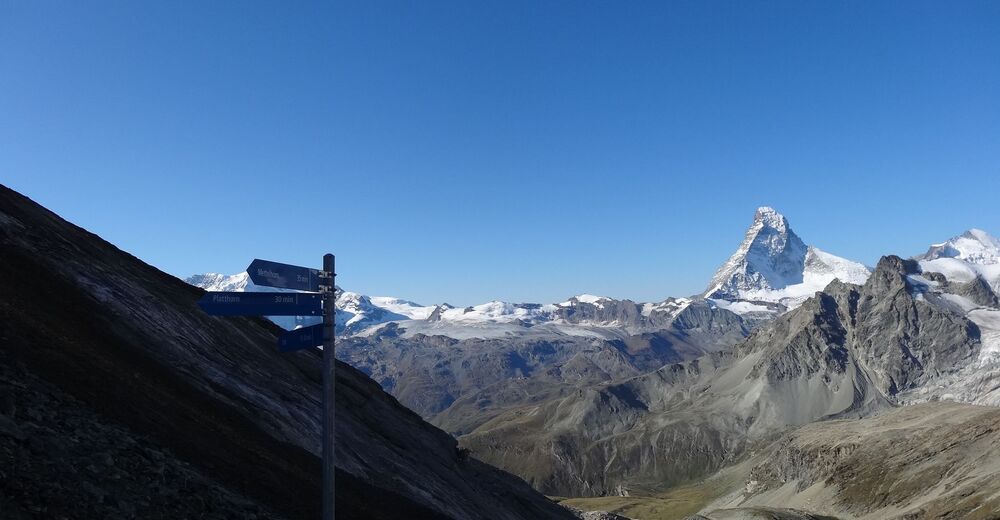
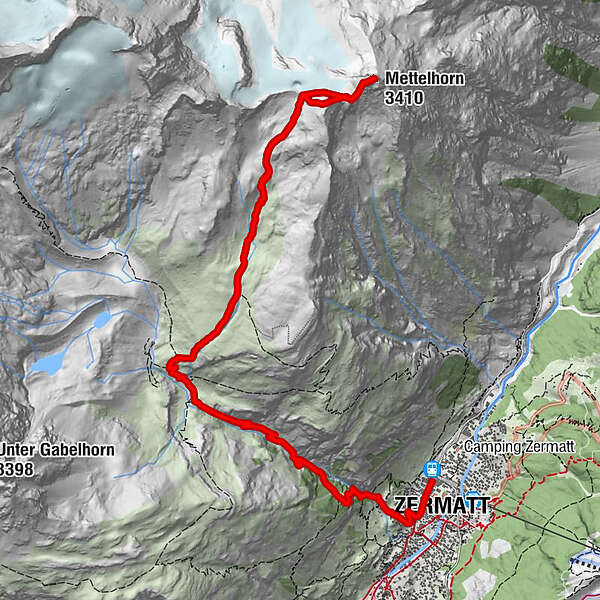
Zermatt (1.608 m)0,3 kmBerggasthaus Trift (2.337 m)4,0 kmPlatthorn (3.345 m)8,2 kmMettelhorn (3.410 m)8,7 km
- Beste sesong
-
jan.feb.marsaprilmaijunijuliaug.sep.okt.nov.des.
- Høyeste punkt
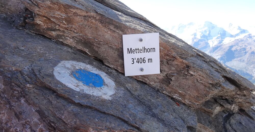
- 3.378 m
- Reisemål
-
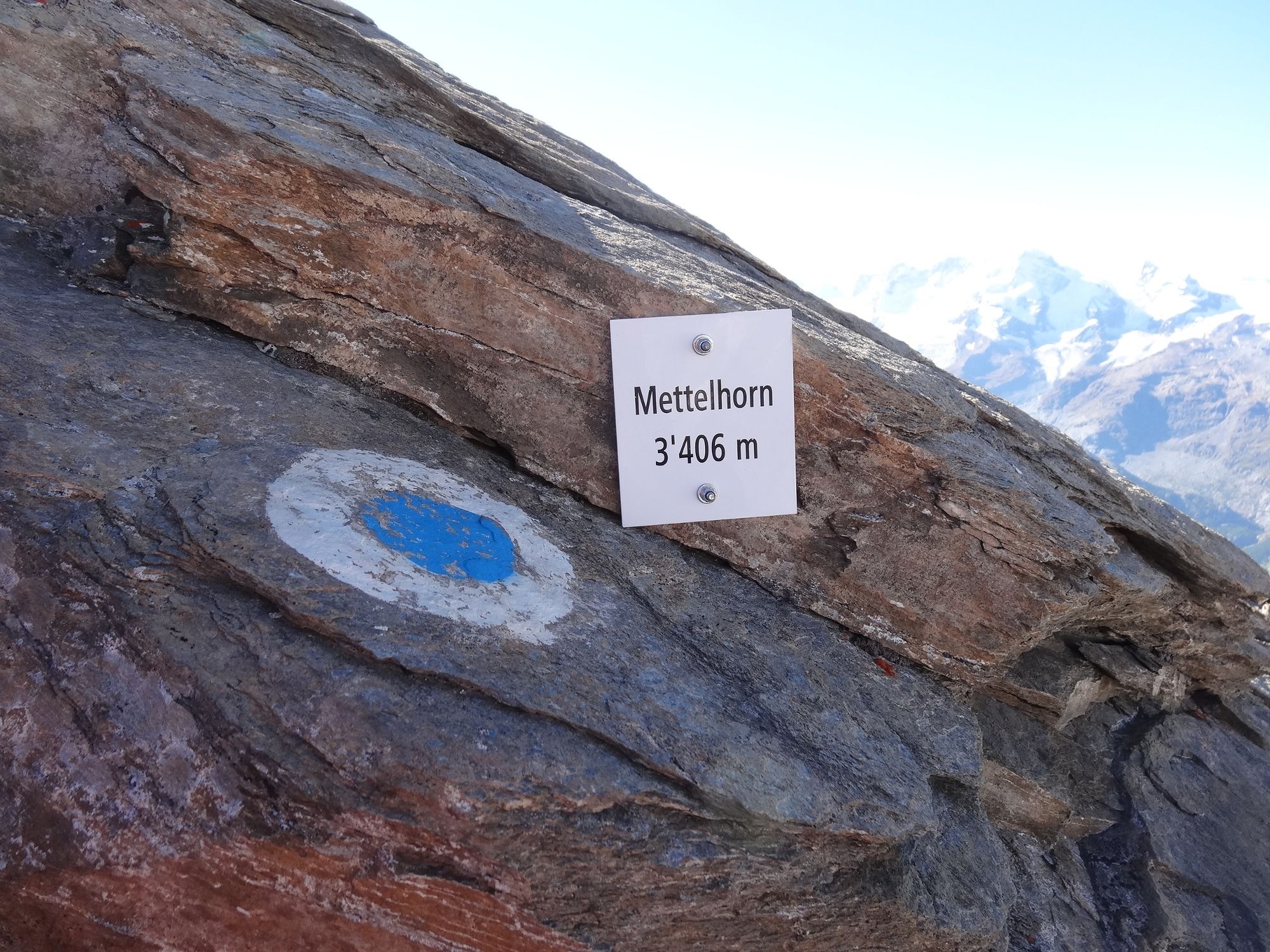
Mettelhorn (3,406 m)
- Høydeprofil
-
 © outdooractive.com


- Forfatter
-
Turneen Platthorn / Mettelhorn (Nr. 33) brukes av outdooractive.com forutsatt.
GPS Downloads
Generell info
Forfriskningsstopp
Flora
Fauna
Lovende
Flere turer i regionene
-
Oberwallis
1873
-
Mattertal
555
-
Zermatt
154