

© Kurt Müller - Zermatt Tourismus

© Unbekannt - Zermatt Tourismus

© Unbekannt - Zermatt Tourismus

- Kort beskrivelse
-
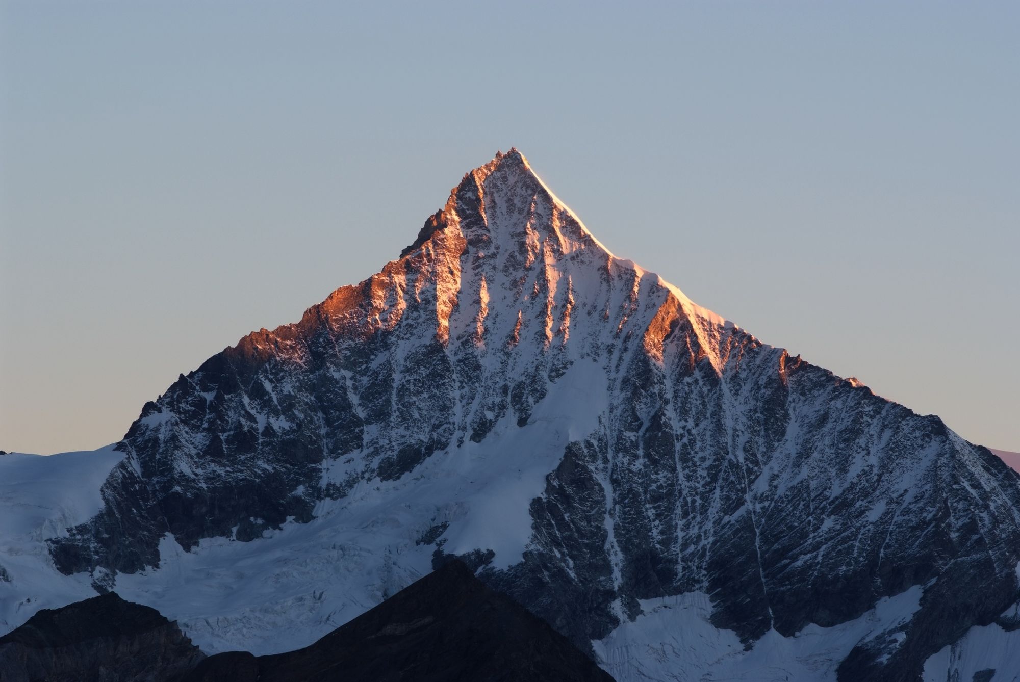
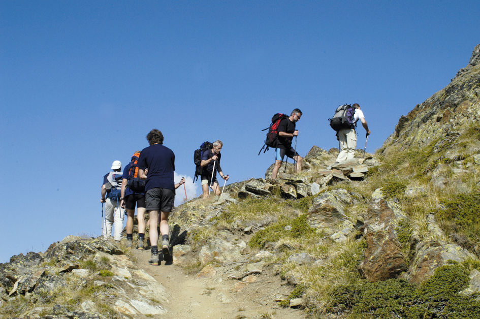
This tough trail is suitable for experienced mountain hikers in good physical shape. The route entails an ascent of 1,774 vertical metres – but the climb is well worth the effort.
- Vanskelighet
-
vanskelig
- Evaluering
-
- Rute
-
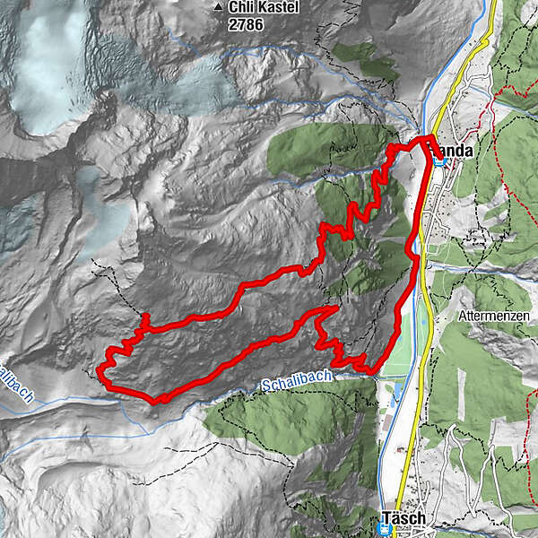
Randa (1.406 m)Weisshornhütte SAC (2.932 m)6,5 kmRanda16,4 kmRanda (1.406 m)16,5 km
- Beste sesong
-
jan.feb.marsaprilmaijunijuliaug.sep.okt.nov.des.
- Høyeste punkt
- 2.913 m
- Reisemål
-
Randa (1,439 m)
- Høydeprofil
-
 © outdooractive.com

- Forfatter
-
Turneen Hike to the Weisshorn Hut (Nr. 61) brukes av outdooractive.com forutsatt.
GPS Downloads


Generell info
Forfriskningsstopp
Flora
Fauna
Lovende
Flere turer i regionene
-
Oberwallis
1873
-
Mattertal
555
-
Täsch
195


