

© Pascal Gertschen - Zermatt Tourismus

© Pascal Gertschen - Zermatt Tourismus

© Kurt Müller - Zermatt Tourismus

- Kort beskrivelse
-
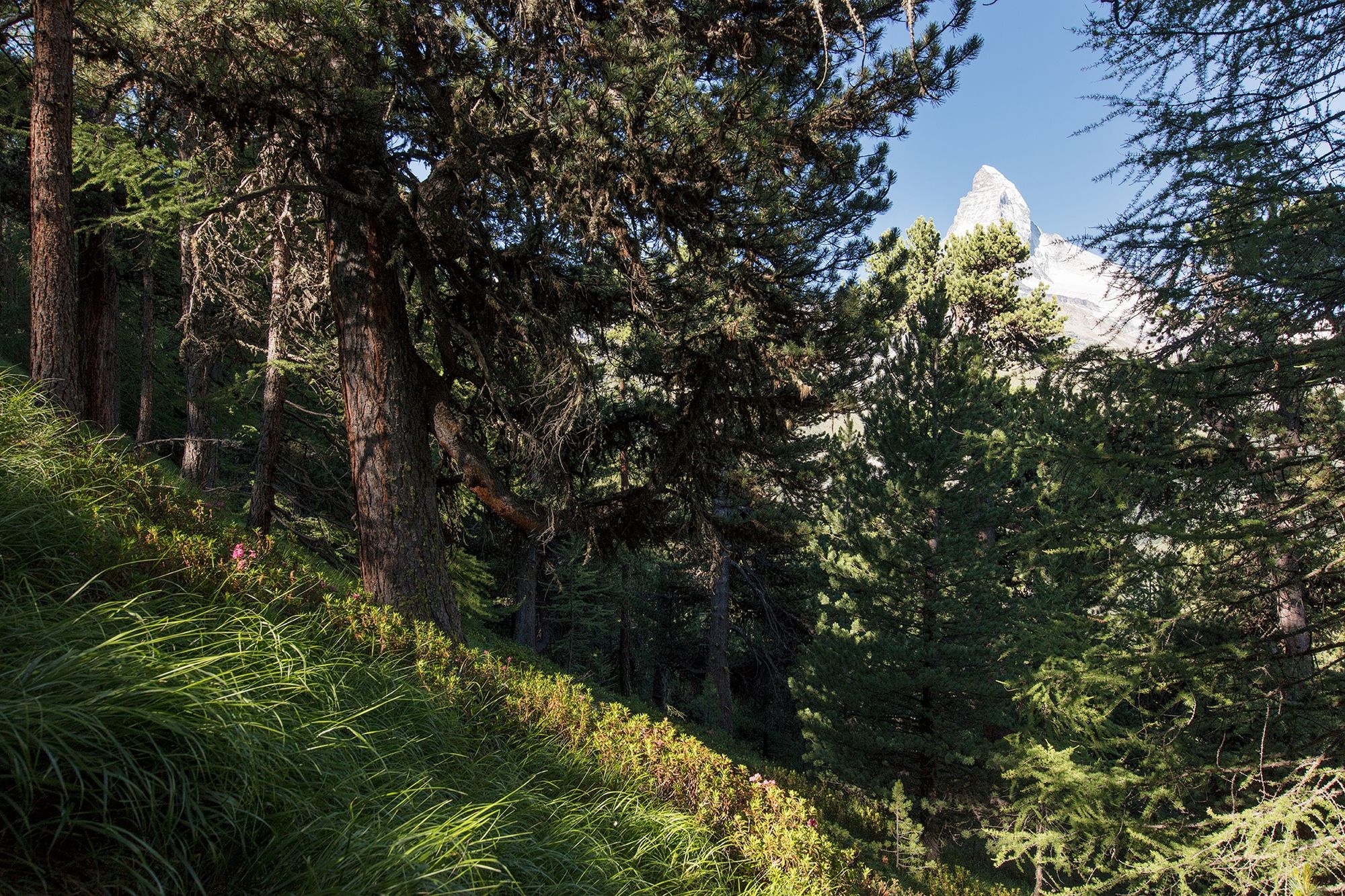
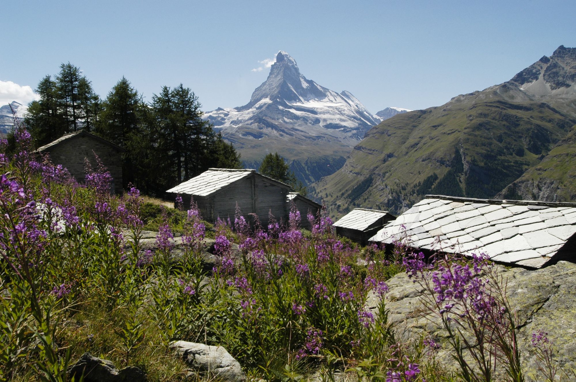
The path traces a leisurely zig-zag through the mixed larch forest. The trees provide shade but also offer frequent views to the horizon. Around Ried, the vista opens up dramatically to reveal the resplendent Matterhorn.
- Vanskelighet
-
middels
- Evaluering
-
- Rute
-
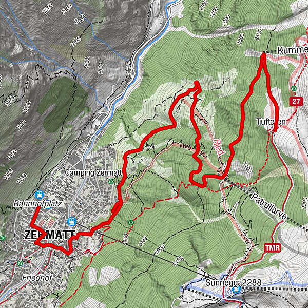
Tufteren (2.215 m)0,0 kmTufternhütte (2.216 m)0,0 kmOthmar’s Skihütte2,8 kmZermatt (1.608 m)6,1 km
- Beste sesong
-
jan.feb.marsaprilmaijunijuliaug.sep.okt.nov.des.
- Høyeste punkt
- 2.192 m
- Reisemål
-
Zermatt (1,620 m)
- Høydeprofil
-
 © outdooractive.com
- Forfatter
-
Turneen Zermatt Forest Trail (Nr. 12) brukes av outdooractive.com forutsatt.
GPS Downloads


Generell info
Forfriskningsstopp
Flora
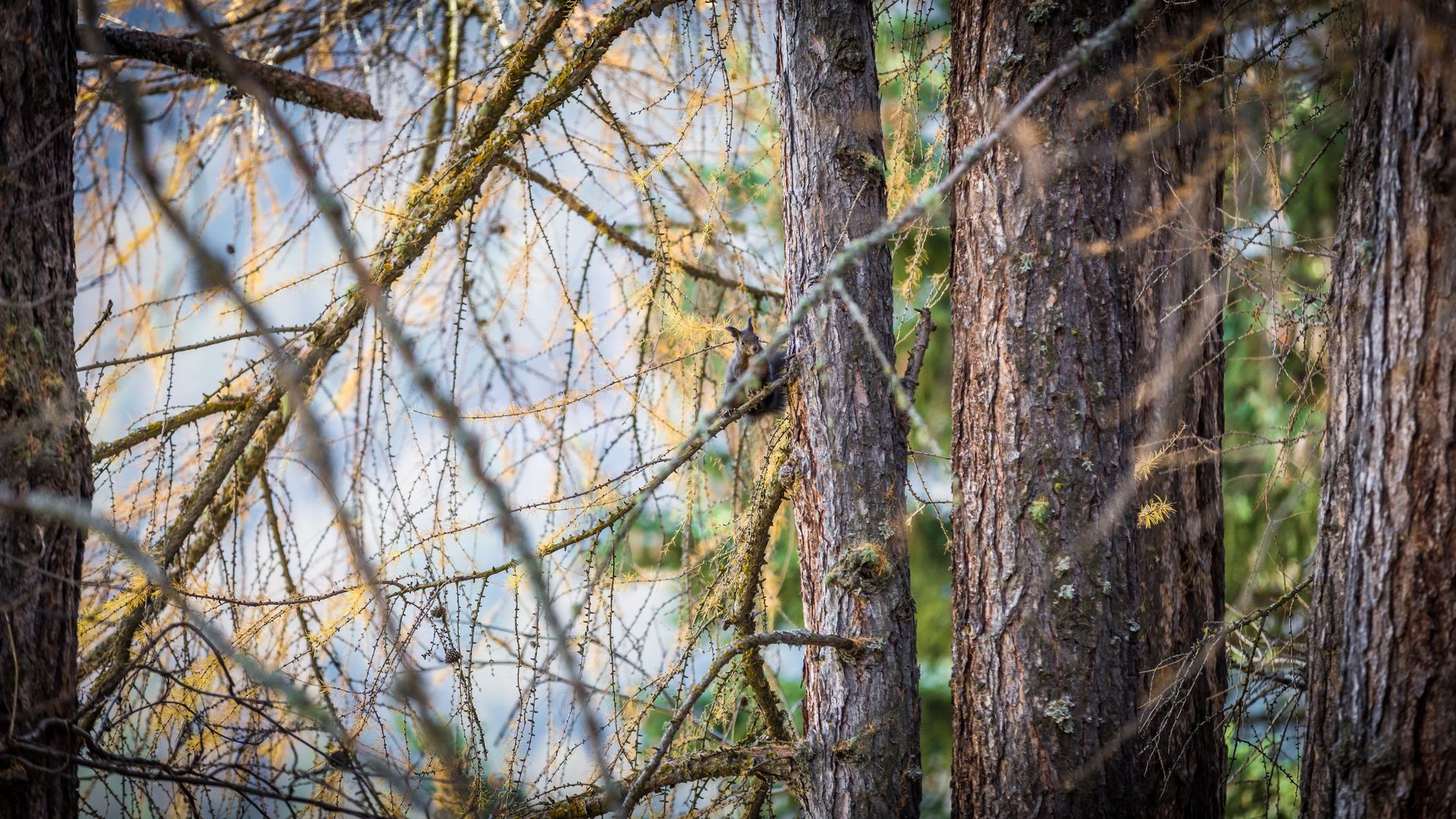
Fauna
Lovende
Flere turer i regionene
-
Oberwallis
1877
-
Mattertal
555
-
Zermatt
154


")
