© Martigny Tourisme
© Martigny Tourisme
© Martigny Tourisme

© Martigny Tourisme
© Martigny Tourisme


- Kort beskrivelse
-
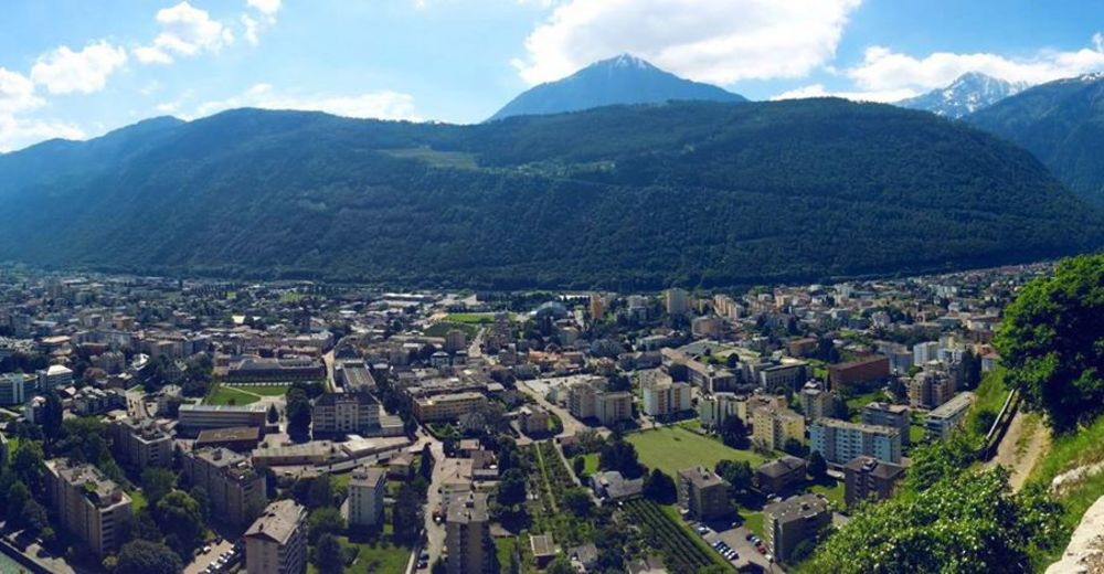
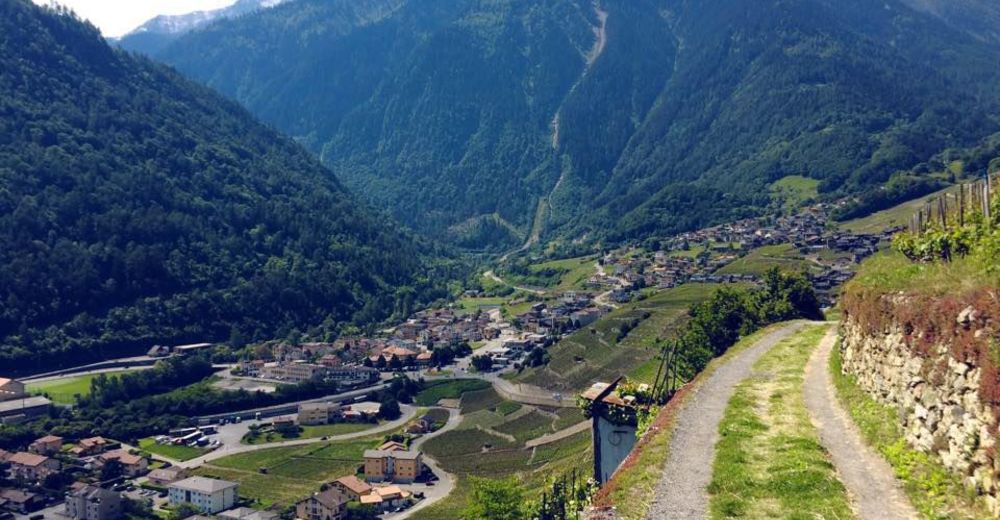
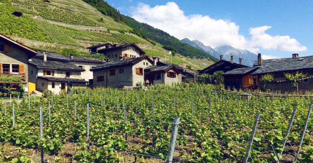
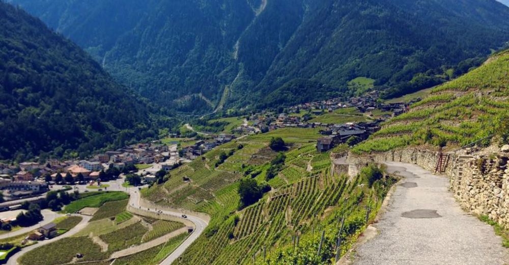
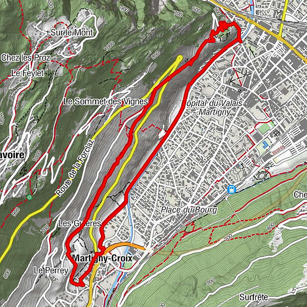
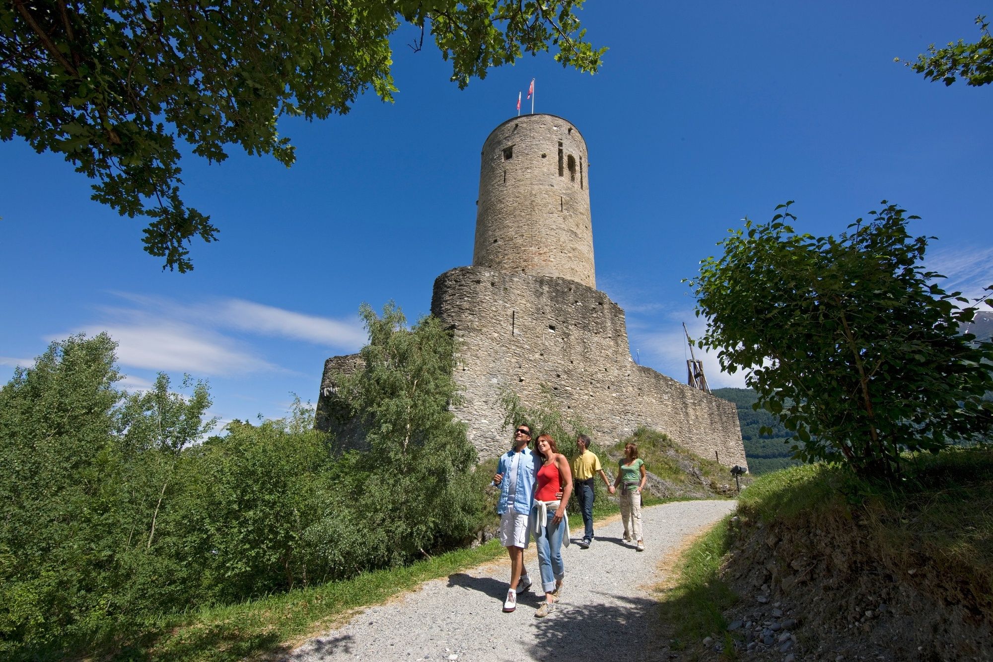
A loop through the terraced vineyards above Martigny, taking in the medieval castle and the pretty winemaking village of Plan Cerisier. Thrilling views of Martigny and the Rhône valley.
- Vanskelighet
-
lett
- Evaluering
-
- Rute
-
MartignyLes Guières2,9 kmPlan-Cerisier3,1 kmLa Crette3,2 kmLe Perrey3,4 kmMartigny-Croix3,5 kmMartigny-Croix3,9 km
- Beste sesong
-
jan.feb.marsaprilmaijunijuliaug.sep.okt.nov.des.
- Høyeste punkt
- 656 m
- Reisemål
-
Bridge Pont de la Bâtiaz
- Høydeprofil
-
 © outdooractive.com


-

-
ForfatterTurneen Terraced Vineyards Trail around Martigny brukes av outdooractive.com forutsatt.
GPS Downloads


Generell info
Forfriskningsstopp
Kulturell/Historisk
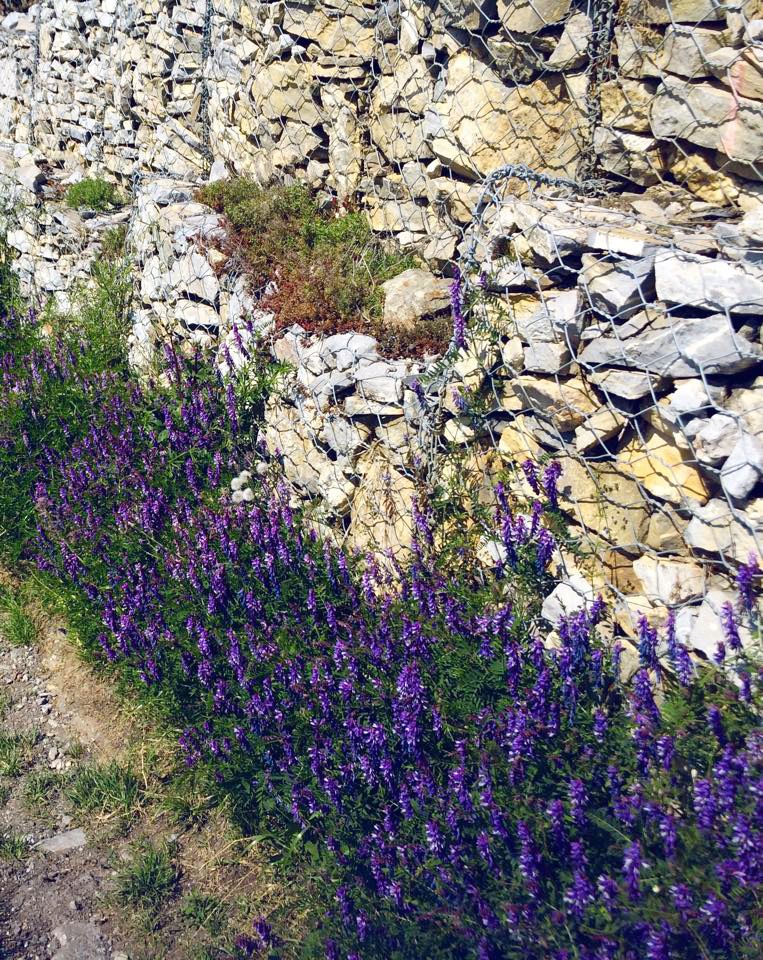
Flora
Lovende
Flere turer i regionene
-
Alpes Vaudoises
997
-
Trient-Tal / Wallis
498
-
Martigny
104