© La Tzoumaz Tourisme

© La Tzoumaz Tourisme

© La Tzoumaz Tourisme

© La Tzoumaz Tourisme
© La Tzoumaz Tourisme


- Kort beskrivelse
-
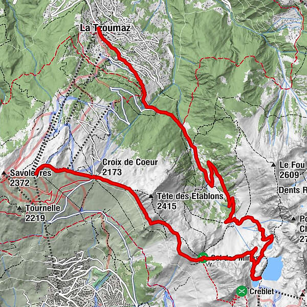
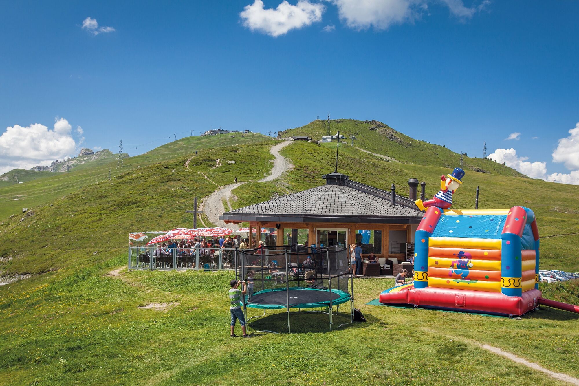
Varied hike from the panoramic summit of Savoleyres to the sparkling Lac des Vaux, into the idyllic Vallon de Chassoure and along the Bisse de Saxon irrigation channel back to La Tzoumaz.
- Vanskelighet
-
middels
- Evaluering
-
- Rute
-
SavoleyresCroix de Coeur (2.173 m)1,1 kmLa Tzoumaz (1.506 m)13,8 km
- Beste sesong
-
jan.feb.marsaprilmaijunijuliaug.sep.okt.nov.des.
- Høyeste punkt
- 2.546 m
- Reisemål
-
La Tzoumaz
- Høydeprofil
-
 © outdooractive.com


-

-
ForfatterTurneen From Savoleyres to Lac des Vaux mountain lake brukes av outdooractive.com forutsatt.
GPS Downloads


Generell info
Forfriskningsstopp
Flora
Fauna
Lovende
Flere turer i regionene
-
Thyon les Collons
1435
-
Verbier
336
-
La Tzoumaz - Mayens de Riddes
65