© Lötschental Tourismus - Sandra Stockinger

© Lötschental Tourismus - Sandra Stockinger

© Lötschental Tourismus - Sandra Stockinger

© Lötschental Tourismus - Sandra Stockinger

© Lötschental Tourismus - Sandra Stockinger

© Lötschental Tourismus - Sandra Stockinger

© Lötschental Tourismus - Sandra Stockinger

© Lötschental Tourismus - Sandra Stockinger

- Kort beskrivelse
-
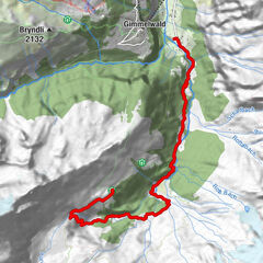
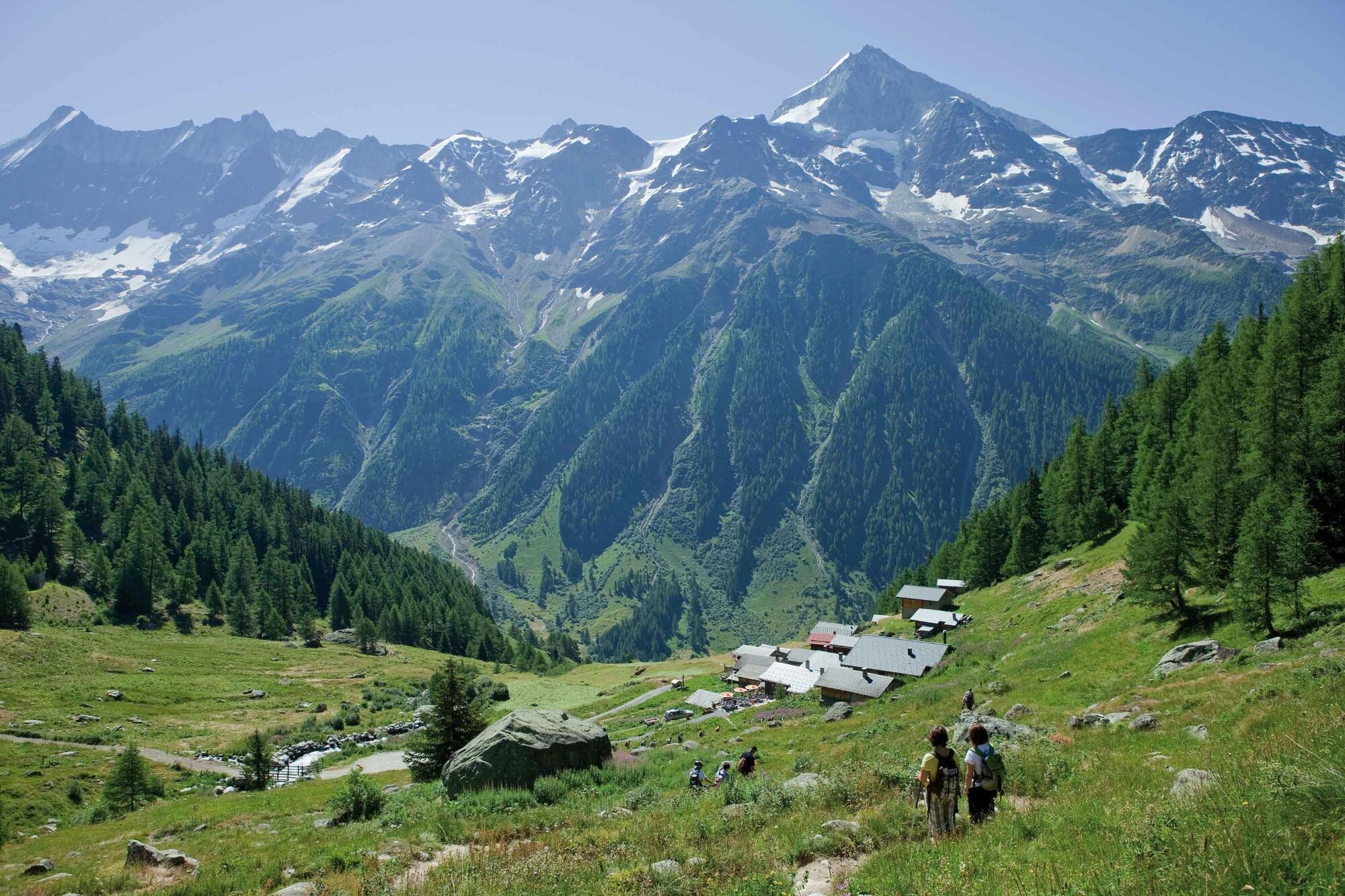
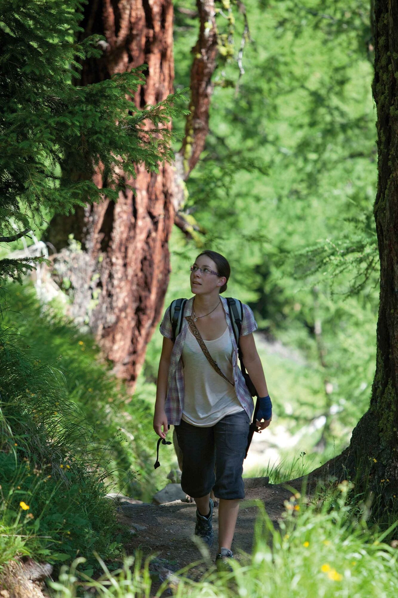
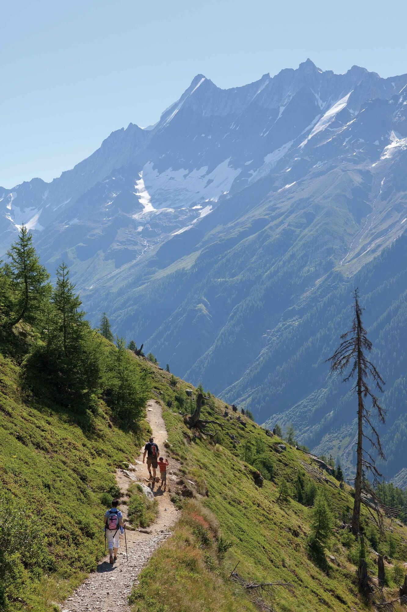
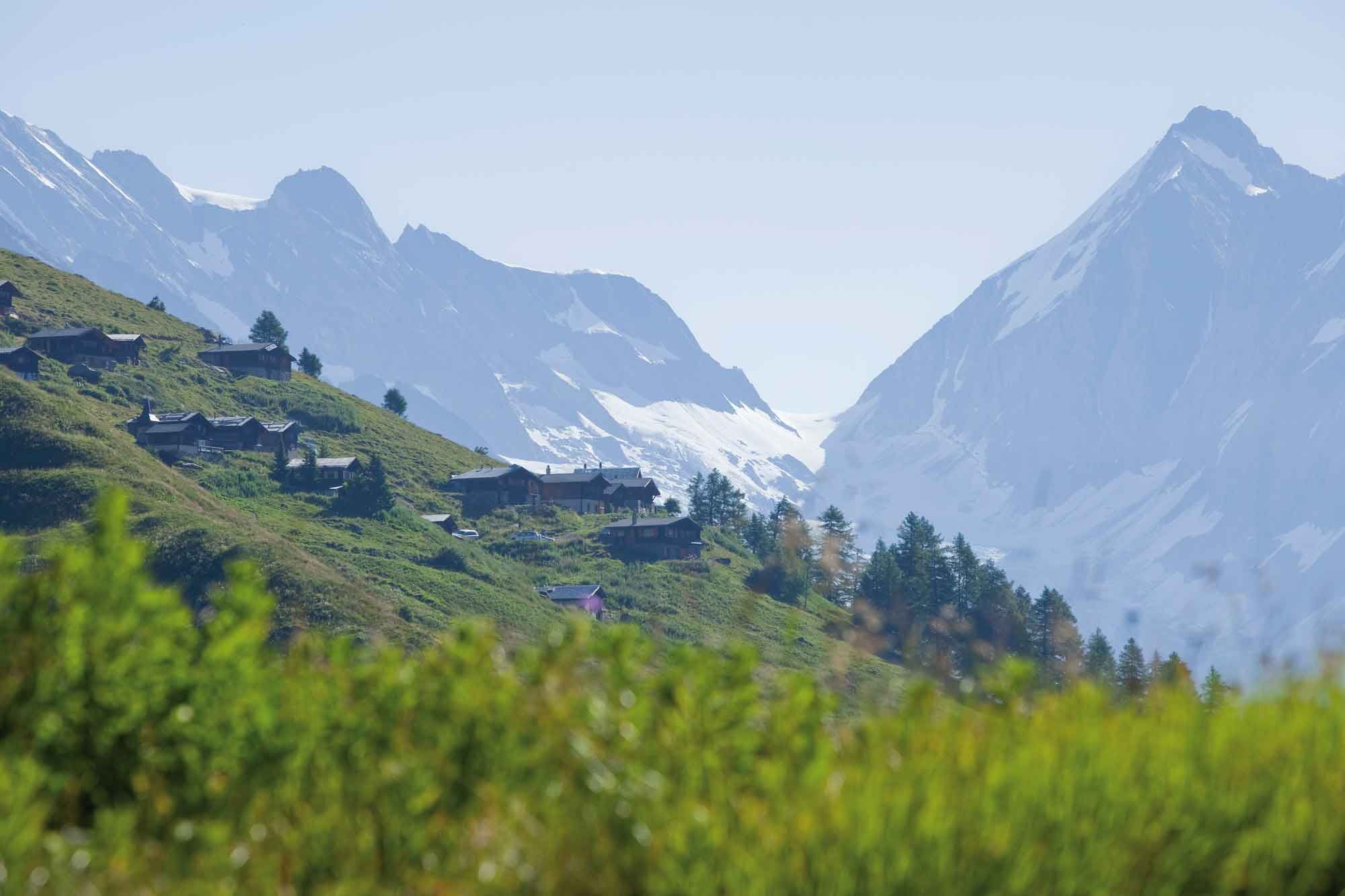
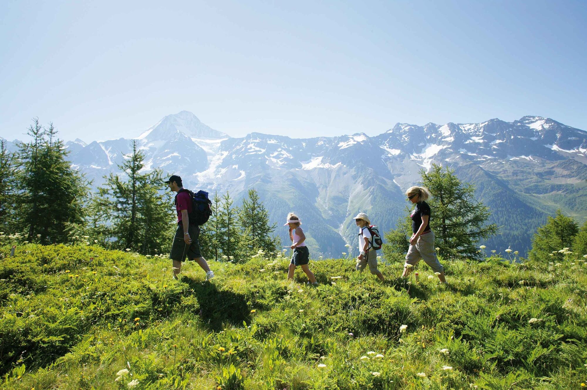
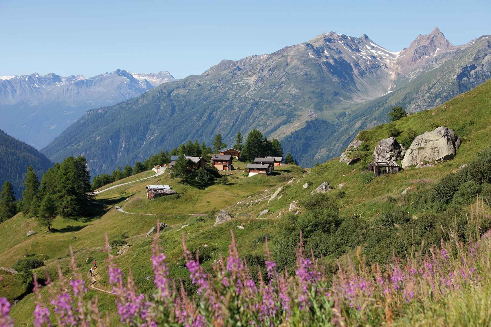
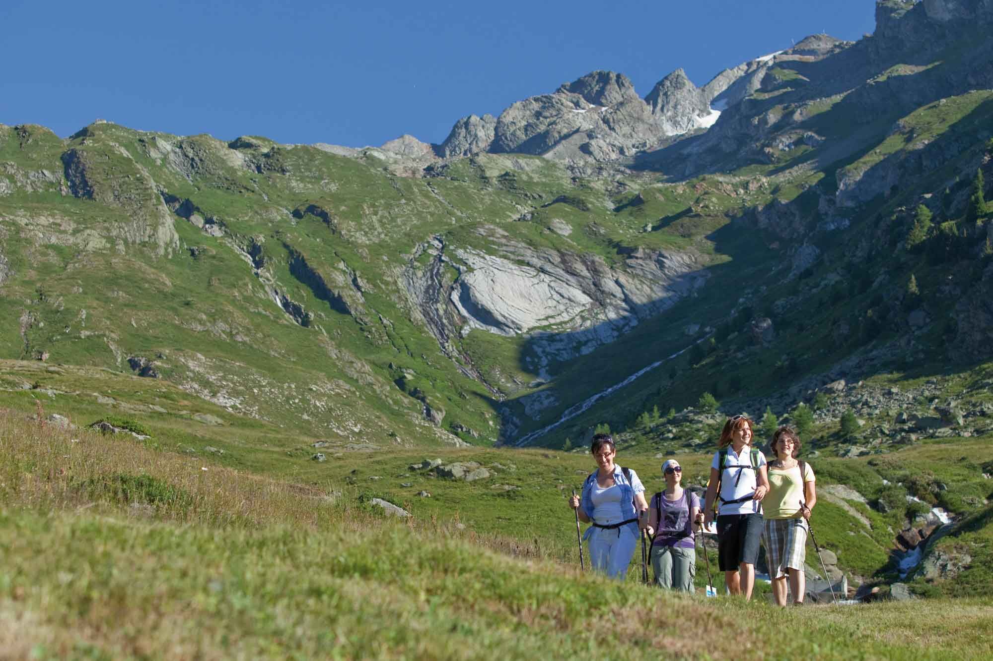
The classic - panoramic hike on the Lötschental High Trail from Lauchernalp via Weritzalp to Tellialp and on past the Schwarzsee and Faflersee lakes to Fafleralp.
- Vanskelighet
-
lett
- Evaluering
-
- Rute
-
Zudili0,0 kmSteinegga0,9 kmTellialp5,0 kmRestaurant Tellialp5,0 kmGletscherstafel9,2 km
- Beste sesong
-
jan.feb.marsaprilmaijunijuliaug.sep.okt.nov.des.
- Høyeste punkt
- 2.087 m
- Reisemål
-
Fafleralp Bus stop
- Høydeprofil
-
 © outdooractive.com
- Forfatter
-
Turneen Lötschental Panoramic Trail Lauchernalp-Fafleralp brukes av outdooractive.com forutsatt.
GPS Downloads


Generell info
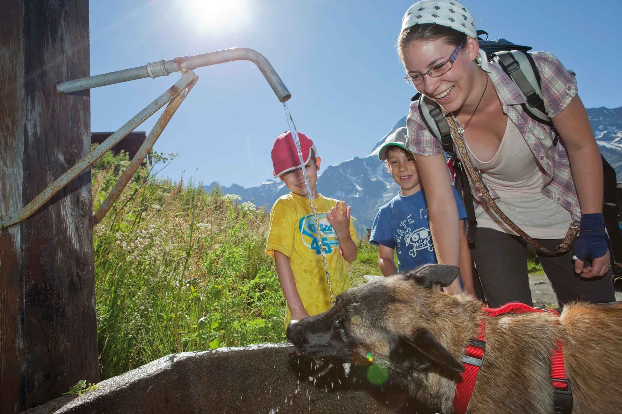
Forfriskningsstopp
Innsidertips
Flora
Lovende
Flere turer i regionene
-
Oberwallis
1883
-
Lötschental
1073
-
Blatten
132