

- Kort beskrivelse
-
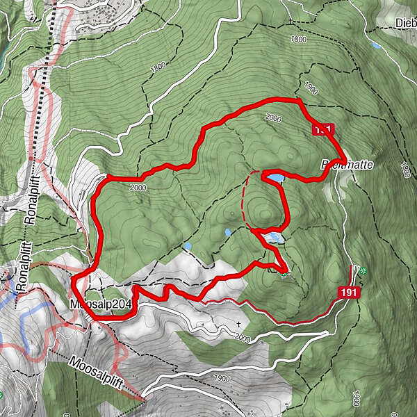
If you don't know the Moosalp yet, this hike is the perfect way to get to know it and acclimatize to the altitude of 2,000 metres. The "Stand" is one of the region's beacons. It is the highest point on the high plateau of the Moosalp and offers you an incredible panoramic view of the entire Upper Valais and twelve four-thousand-metre peaks.
- Vanskelighet
-
lett
- Evaluering
-
- Rute
-
DorbiaMoosalp (2.048 m)0,0 kmStand1,5 kmPanorama5,3 kmDorbia6,2 km
- Beste sesong
-
jan.feb.marsaprilmaijunijuliaug.sep.okt.nov.des.
- Høyeste punkt
- 2.117 m
- Reisemål
-
Moosalp
- Høydeprofil
-
 © outdooractive.com
- Forfatter
-
Turneen Panoramaweg Stand (Moosalp) brukes av outdooractive.com forutsatt.
GPS Downloads


Generell info
Forfriskningsstopp
Fauna
Lovende
Flere turer i regionene
-
Oberwallis
1873
-
Unterbäch
934
-
Törbel
150


